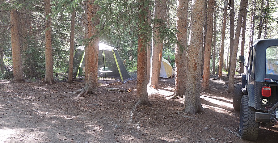
| You're viewing
the HIGHLIGHTS ONLY photo set for
Day 2's photos (33 photos). If you wish to switch to the FULL photo set (40 photos), click here. |
C to C 2020
Day 2 - Monday, July 13, 2020
Argentine campsite to Gunnison hotel
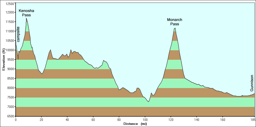
| Day
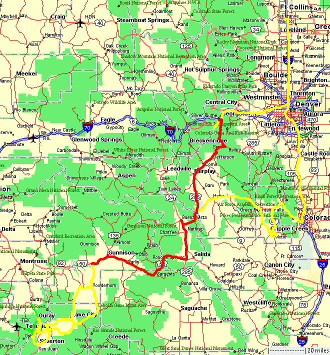
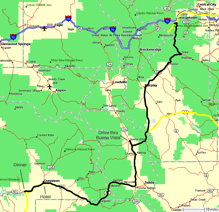
2 (red line) - A driving day - Argentine campsite to Gunnison hotel -
red line. We'll get close to southwest Colorado. The plan was for a hotel (shower) "sometime" this week, I hadn't thought it'd be the second night. We stayed at the Long Holiday motel west of town, by the river. The motel is well cared for - I'd happily return. |
| At
Buena Vista, it's been some time since I went through town so we took a
short jaunt to the north end, bought a bag of ice (perhaps the last bag
in town), before continuing south to Gunnison. An afternoon rain shower
rolled through and I found one not-very-significant issue with the jeep
- no windshield wipers. Hmmm... Perhaps an issue with wiring since I
hand the windshield down the other day. Of no big issue - the rain
lasted but ten minutes. |
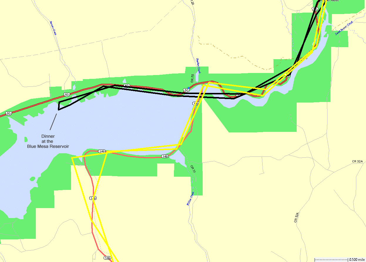
| The
spot for dinner - Chili Cheese Dogs at the Blue Mesa Reservoir.
The water level is low such that the spot we chose to eat would
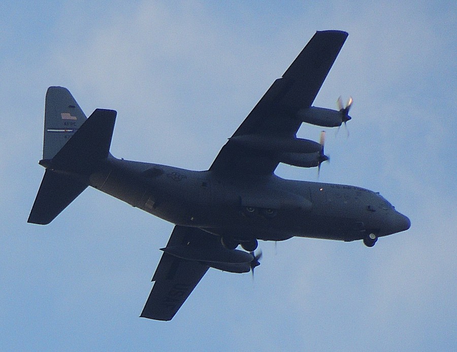
normally be under water. A military plane was doing practice flights
and flew
around three or four times. While not terrible, the bugs were
plentiful. Fortunately they weren't overly a nuisance. |
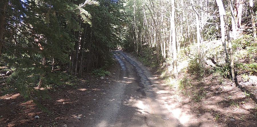
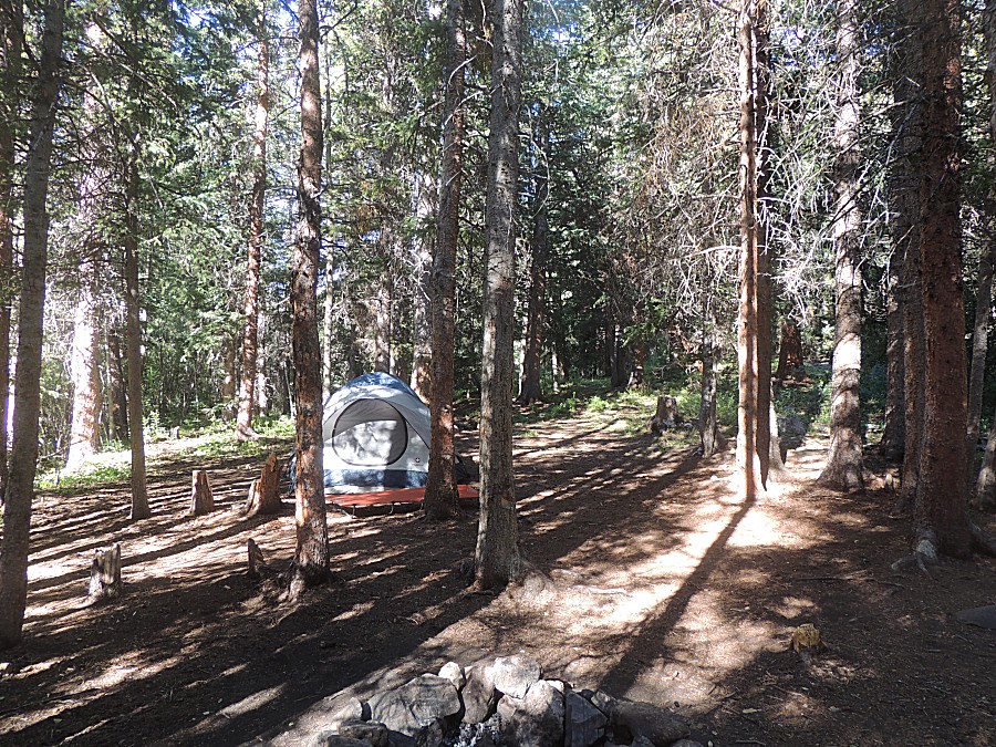
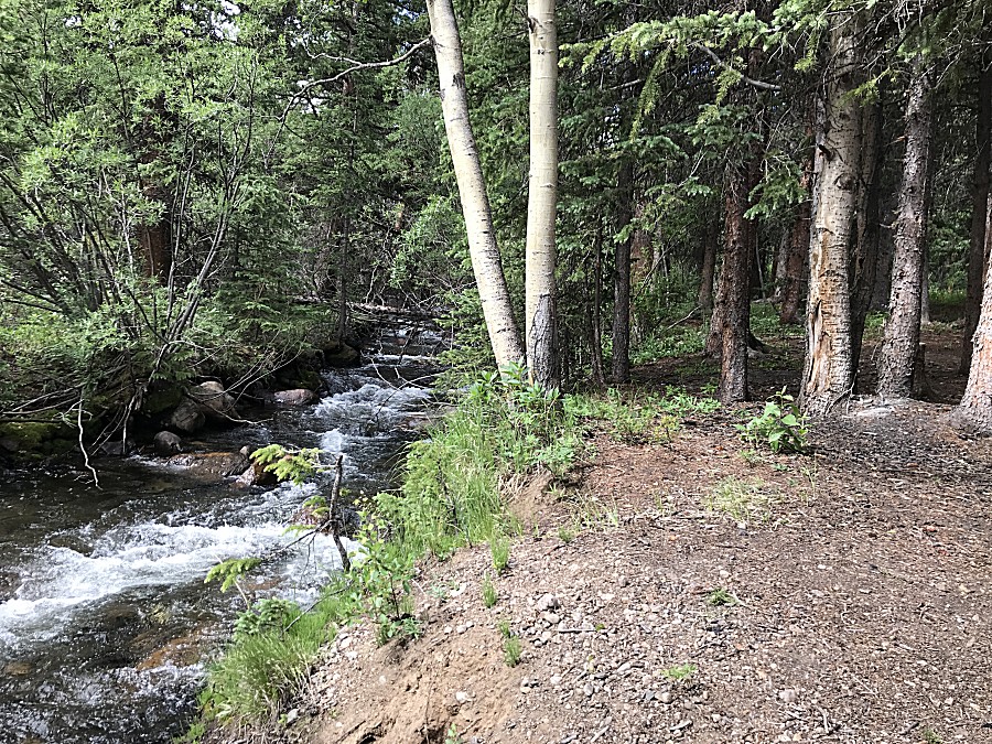
| A view down-trail |
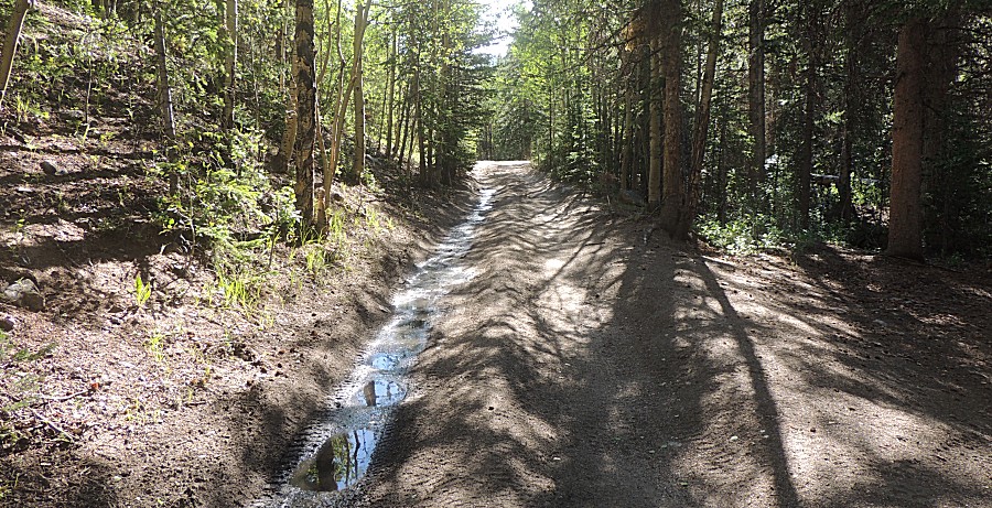
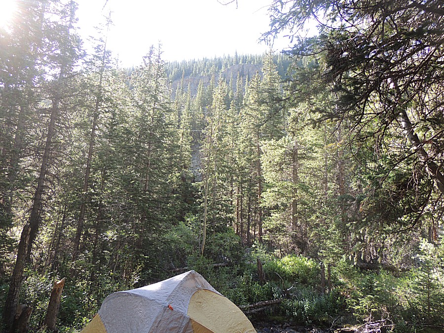
| and up-trail - a low volume of water trickling
along |

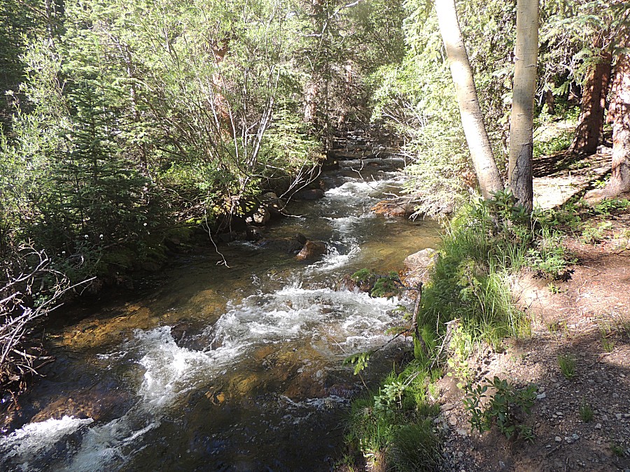
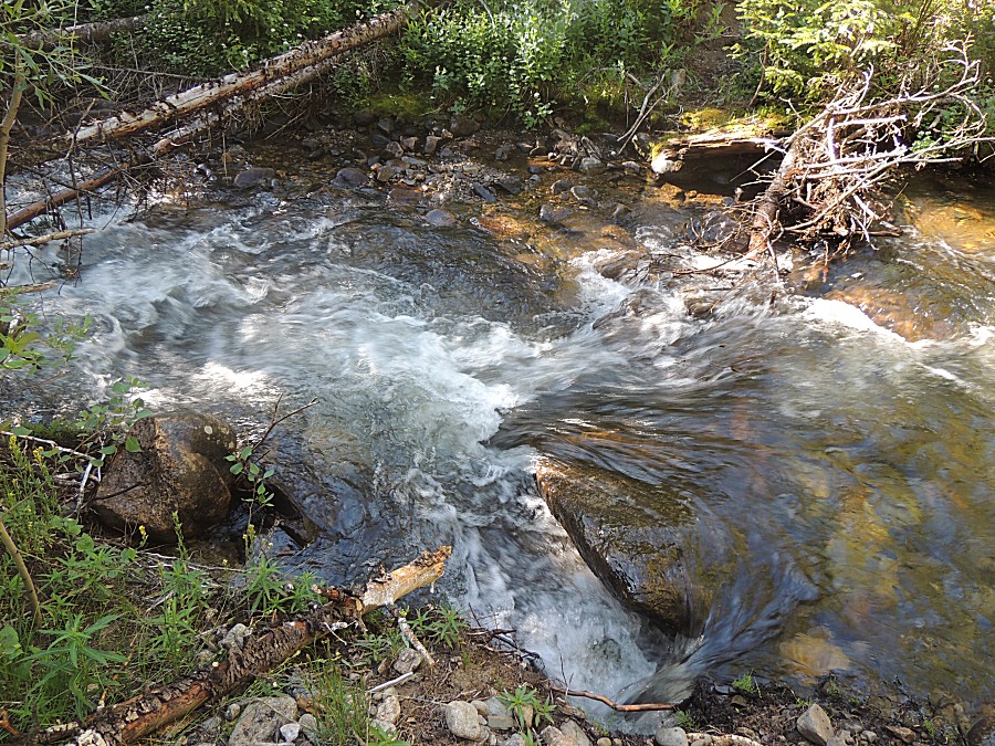
| This small bit of white water has some volume
in the quiet of the night |
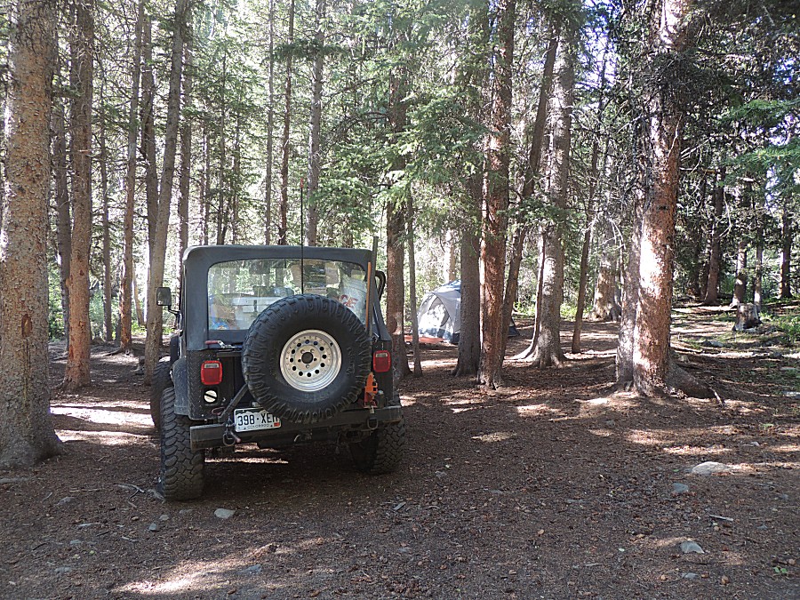
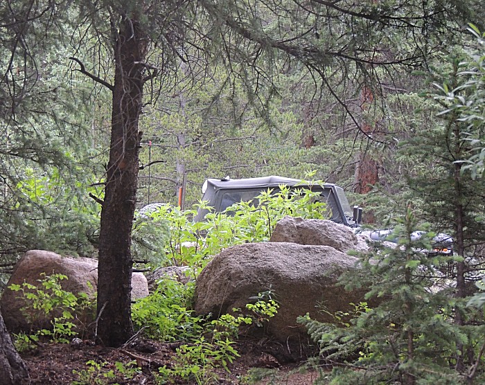
| The rare passenger side photo |
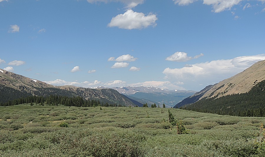
| Guanella Pass It has been 17 years since I've been here - before I moved from Illinois to Colorado on a motorcycle trip with Ken in 2003 |
| Looking
north from where we came. Georgetown is in the valley at the bottom of
the V of the mountains. Interstate 70 runs east west / left right with
Georgetown. The Argentine Pass trail we were at yesterday / this
morning is just over the mountain ridge to the left. |
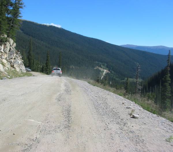
| Guanella Pass road heading south to US-285. On
the motorcycle trip with Ken in 2003 this road was gravel / dirt. Here's
a picture of nearly the same spot. Photos from the full day
of that trip report here (Guanella Pass near the bottom of the page) |
| A roadside pullout near a creek - let's make
use of it! Lunchtime |
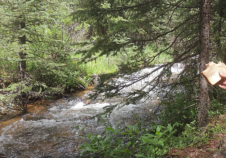
| Soft pine needles to sit on. Shade. A nice
creek. Thumbs up! |
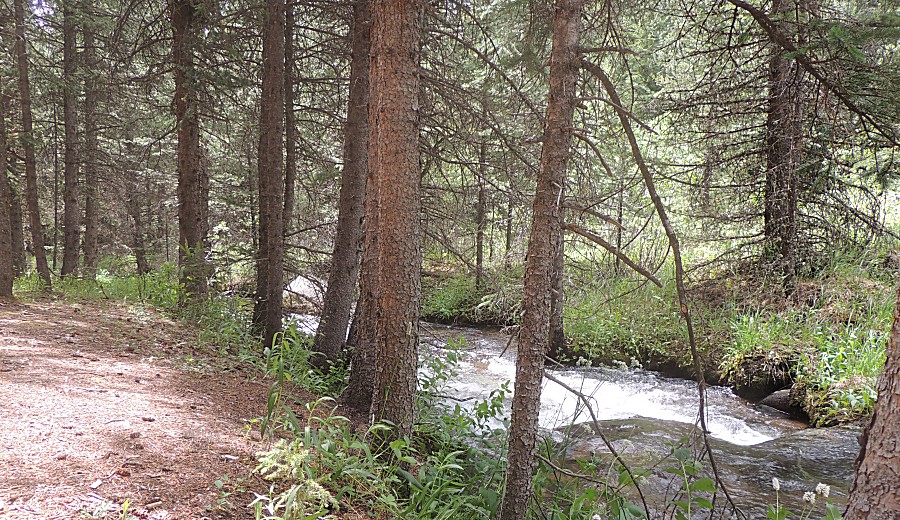
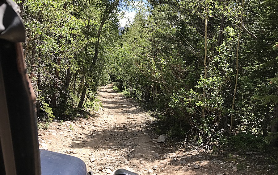
| And but a short walk - mostly below road level
to block out the rare road noise. |
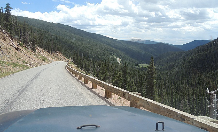
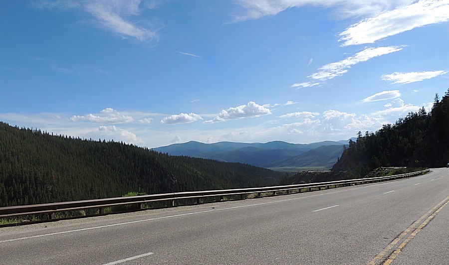
| Out
from Guanella Pass we headed southwest on US-285. We just crested
Kenosha Pass and have 'turned the corner' for the expansive view over
South Park. |
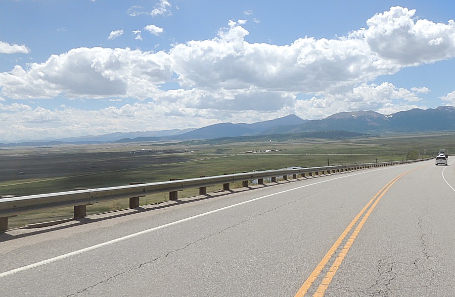
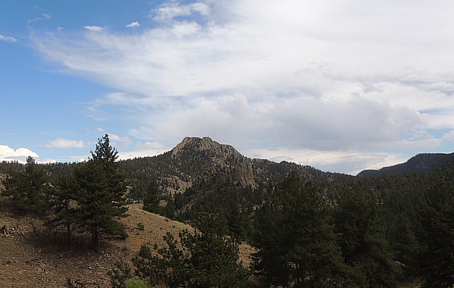
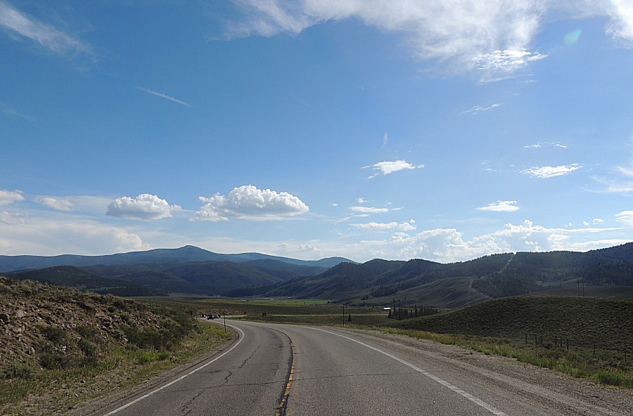
| Nearing Buena Vista |
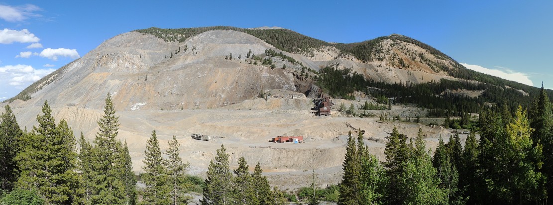
| Panorama The mountain side mines just east of Monarch Pass Click for a larger size |
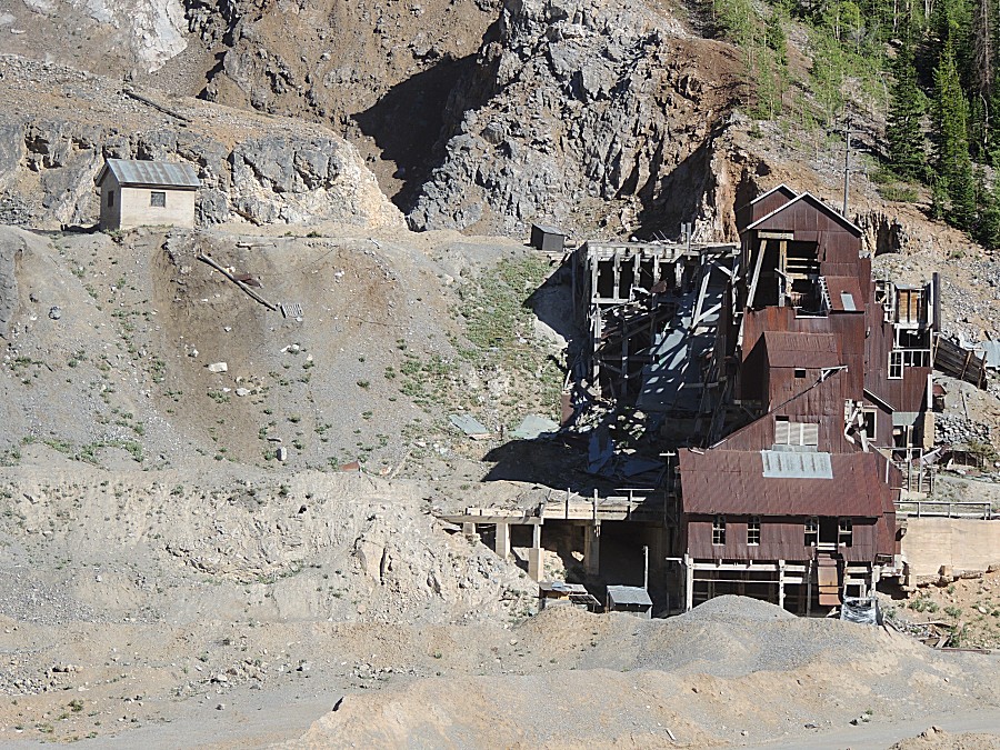
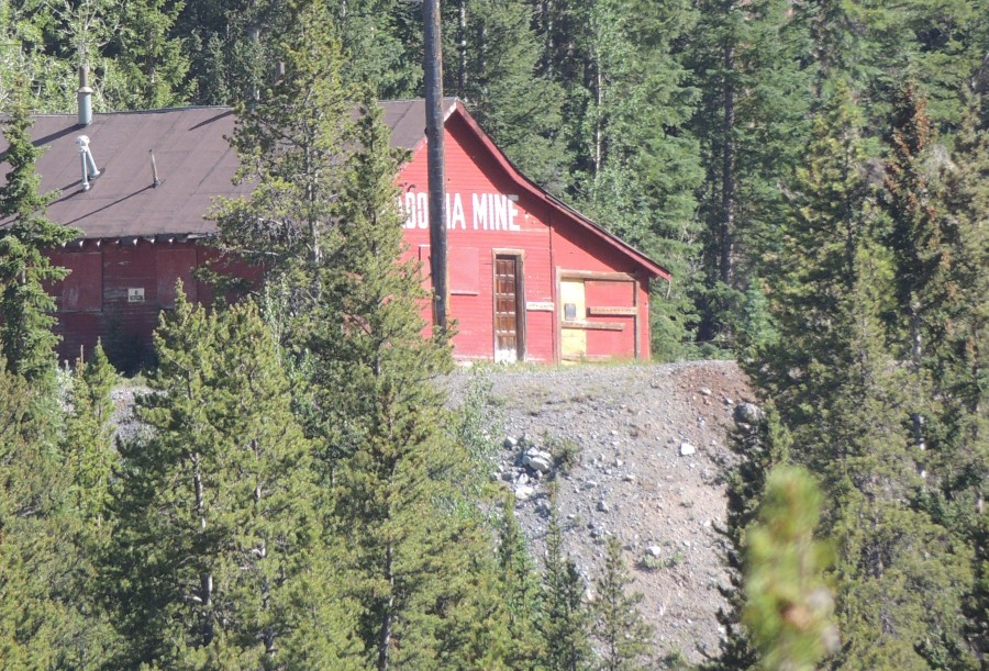
| Madonna Mine Checking mindat.org, this area has about sixteen mines listed. |
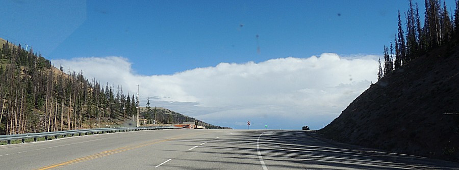
| Approaching the top for Monarch Pass |
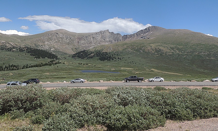
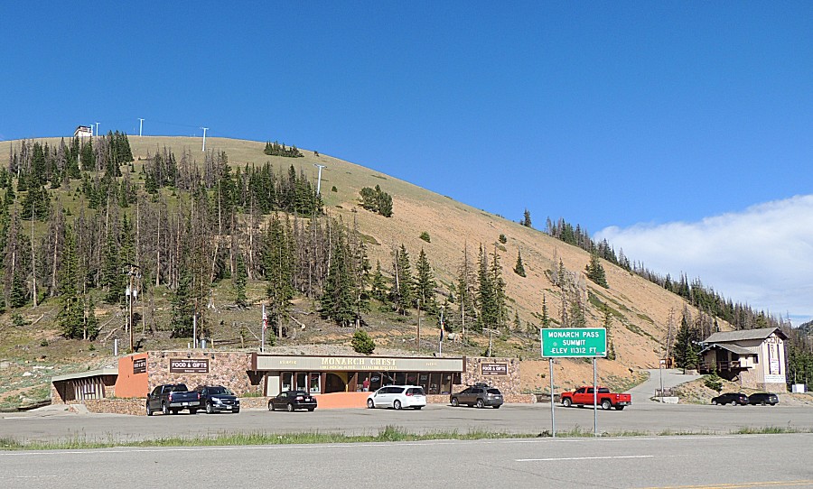
| Monarch Pass 11,312 Feet Continental Divide Atlantic to the left / Pacific to the right |
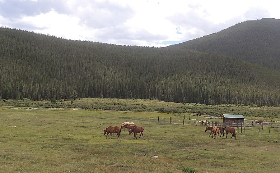
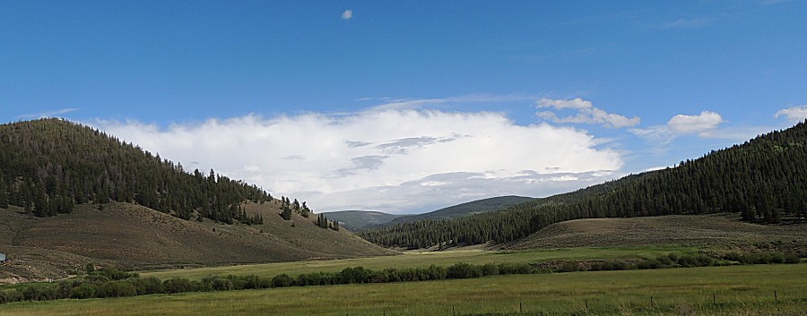
| Back to the flat lands east of Gunnison -
green fields |
| Chili Cheese Dogs at the Blue Mesa Reservoir |
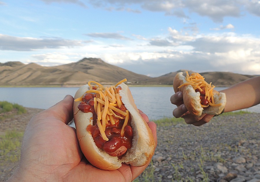
| A low frequency drone of this lumbering along
on practice flights |