2003-June-13
Friday the Thirteenth
Full Moon
A good evening to fly
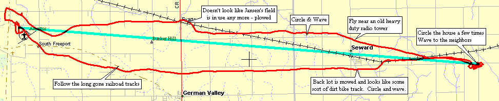
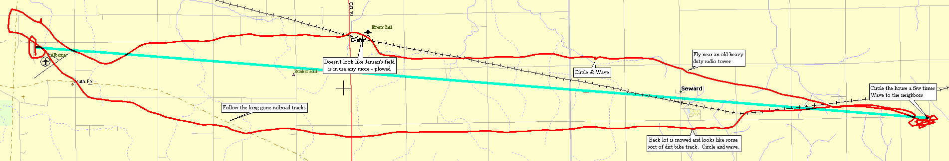
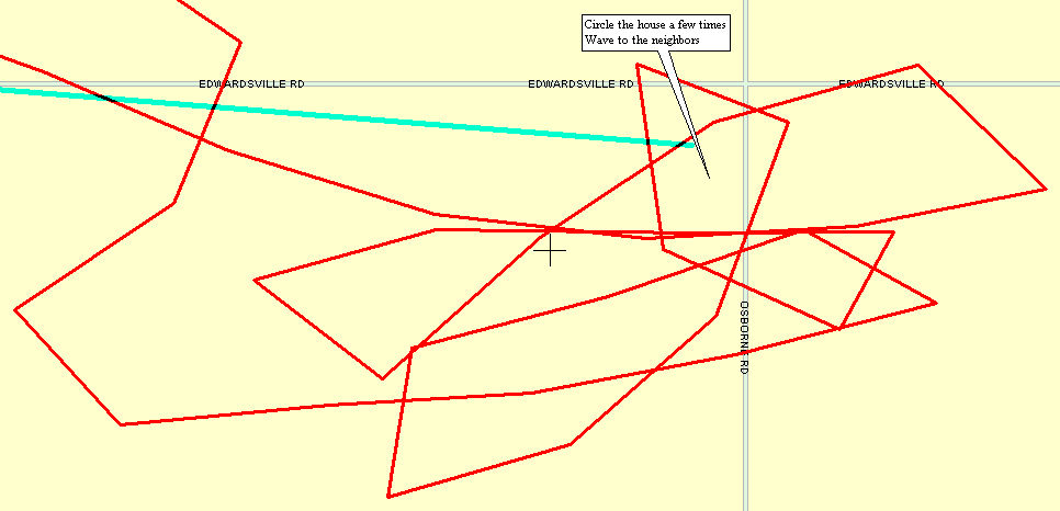
Destination: head east and fly around the house of some folks I know
This will be of the longest flights I've taken in the trike.
I reasonably believe that I'll be able to make it back (not run out of
fuel and have to land out).
Temps are in the mid 70F's - still put on the winter jacket - but left
unzipped and pulled open.
Put as much fuel into the tank as possible - juggle to remove an air bubble
or two and top it off again.
Winds are light and from the east - good - I'd prefer to fly into the
wind and have it pushing me back.
This way I could see where 1/2 fuel load is and turn around and reasonably
expect to make it back to the field.
If I ran out of fuel it would not be a major issue - land on a country
road, or in a field (but crops are growing) or in a farm field road
I returned and had just under 1/3 of a tank of fuel remaining (5 gal max,
1.6 gal remaining).
Engine RPM's
Cruise 5000
Take Off's / full throttle 6000
Airspeed - right about 30 MPH (+/- 3 or so)
And by special request from Mr. KJI -- Altitude
The Garmin GPS III+ does not record this stat but does display it.
Cruise altitude was, mostly, 1550 Ft MSL (Mean Sea Level)
Ground surface is right about 900 Ft MSL - so that put be about 650 feet
up
I had a few deviations that could be estimated at +/- 200 Ft
While I have very little time in a 'conventional' airframe which is supposed
to give a better horizon frame of reference
(to see if you are gradually climbing or decending) I will say that I had
to rely on the GPS for altitude evenness.
The trike doesn't seem to help me any with this aspect. Perhaps I'll
see if I can come across some frame of reference with it.
GPS Stats
39.9 Miles
35.5 MPH Average
68.6 MPH Max (decending, with the wind, full throttle)
1H 7M 29S Moving time
(this with the RPM settings is the most important with respect to fuel
burn - how long I can fly not how far I can fly)
With this information - a time until empty for the fuel tank, with similar
conditions, might be in the area of 1-1/2 hours.
Download ASCII track data, StreetAtlas 4 & 7 map
files - Zipped 17KB
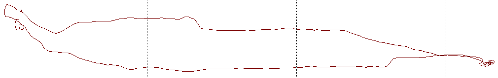
Basic track
Airport top left
Destination bottom right