Walden-Laramie Loop
|
In
search of... Some road that might connect the Red Feather Lakes area to
the Walden area - that isn't Colorado Route 14. I wanted to do a
counter-clockwise loop with the "dotted" area being the desired route.
In the end the road, dirt, would be gated and I would end up turning
back and taking CO-14 to Walden. This would then make the route into a
clockwise one. |
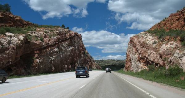
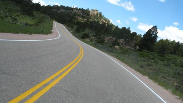
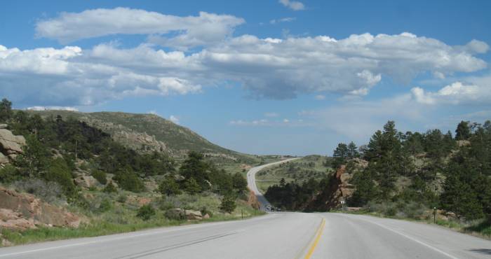
| Heading north on US-287. |
| Road cut and shortly I'll be at the first turn - The Forks. |
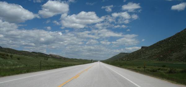
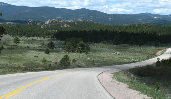
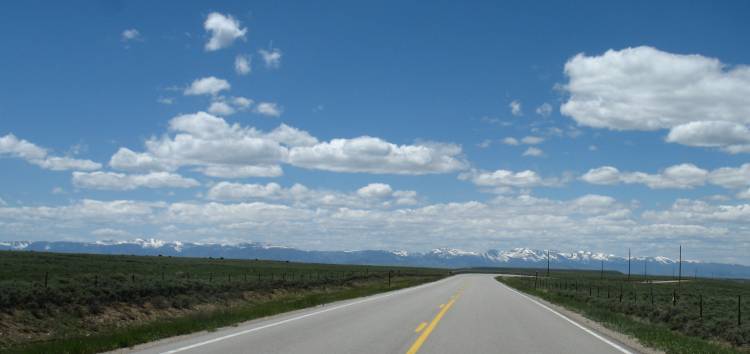
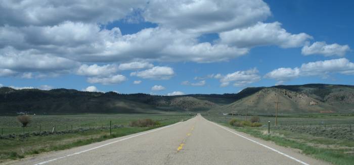
| A dotted cloud day. |
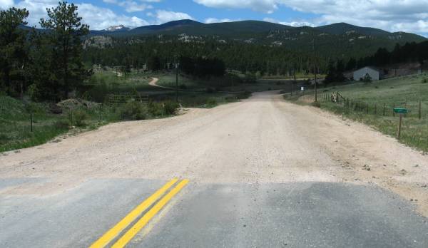
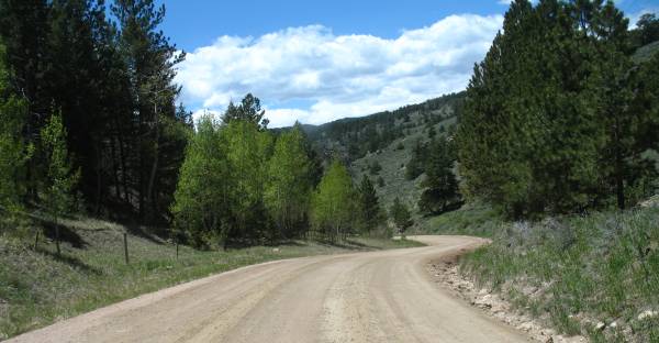
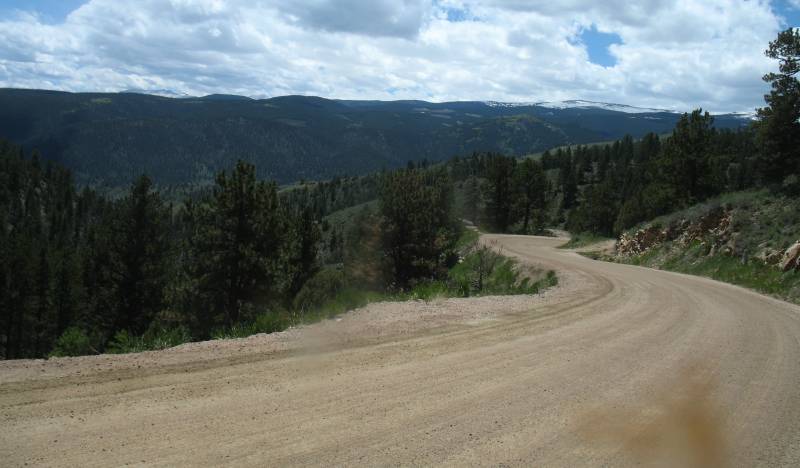
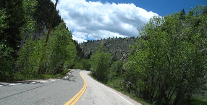
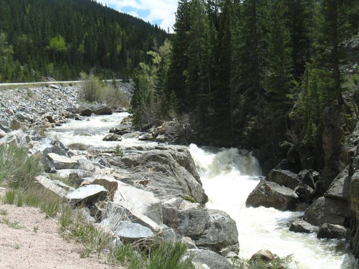
| Well, now I know the road I want to see, isn't to be asphalt. |
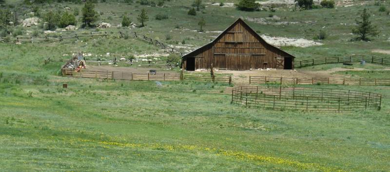
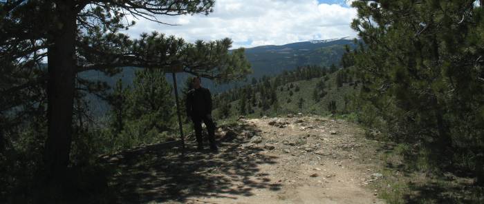
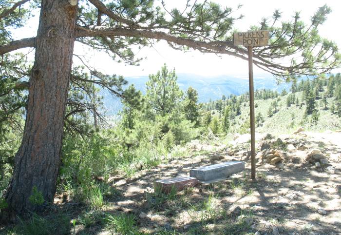
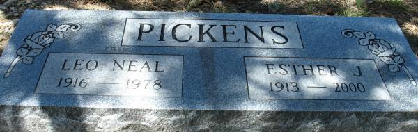
| Pickens Point. A nice stop to enjoy a snack. |
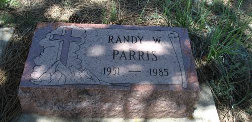
| And the reason it's called Pickens Point... |
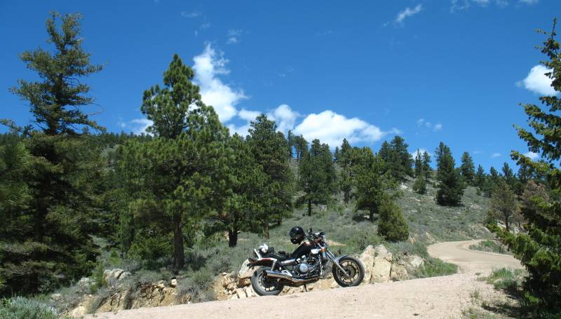
| Turning about and looking back to the bike. |
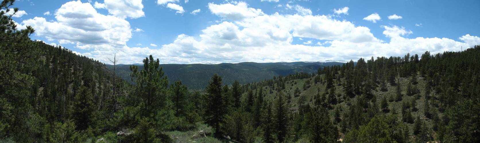
| View from the point. Panorama Click for a larger size |

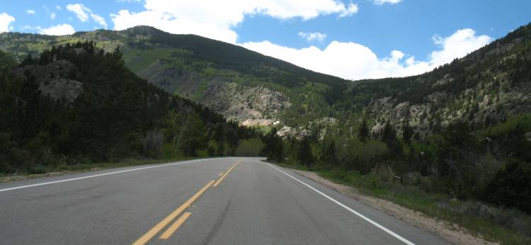
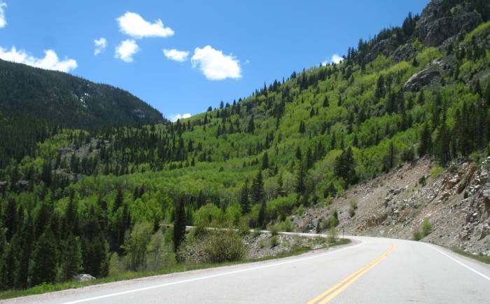
| CO-14 Heading towards Walden. |
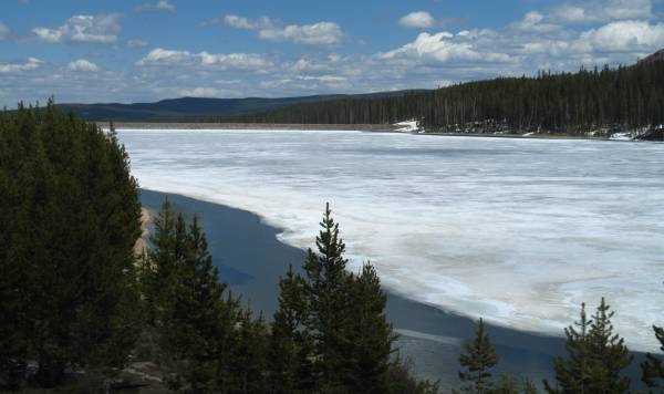
| Joe Wright Reservoir |
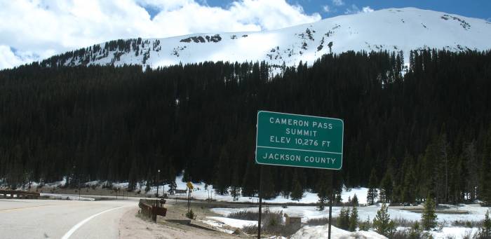
| Cameron Pass 10,276 Ft |
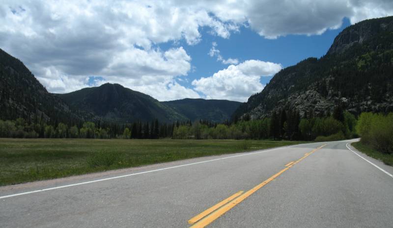
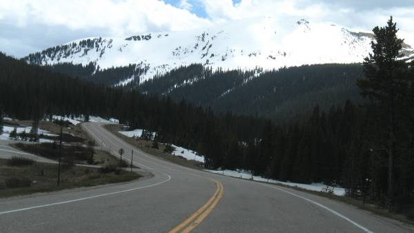
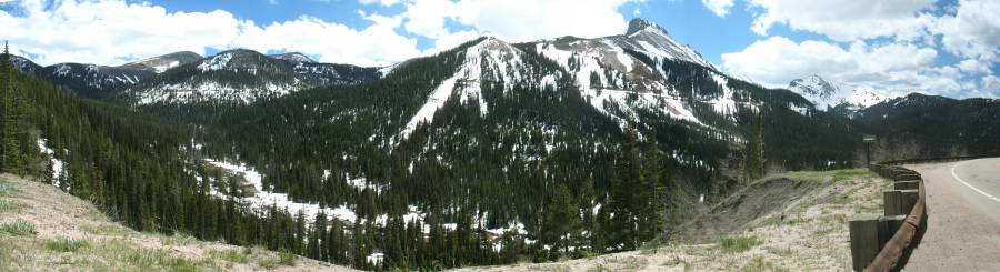
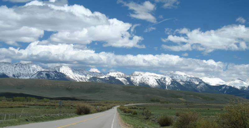
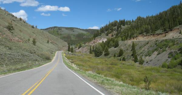
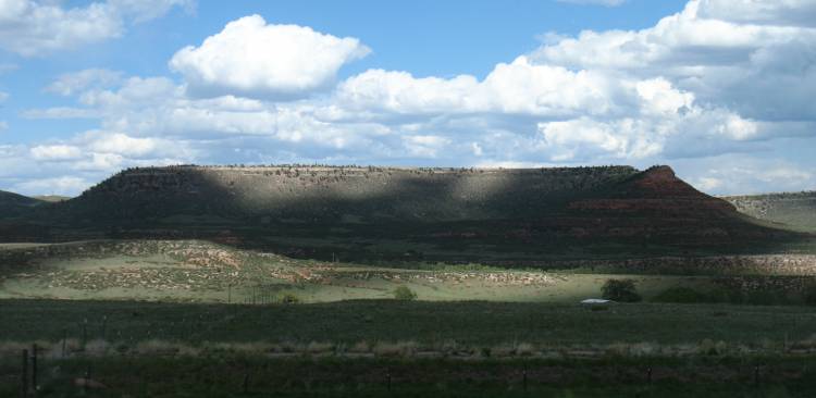
| Just after the pass the road turns a corner and we're presented with this mountain (and I'm looking at those horizontal lines on the mountainside). |
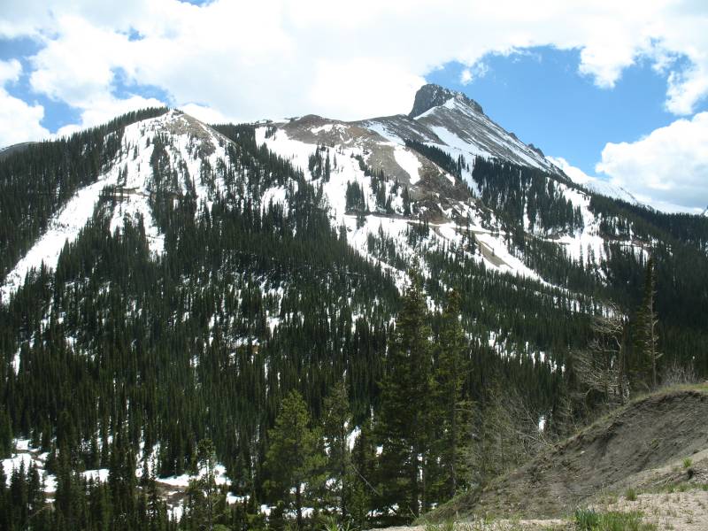
| Panorama Click for a larger size |
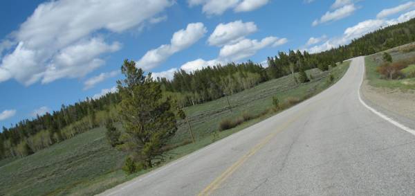
| Over the pass and quickly heading to Walden. |
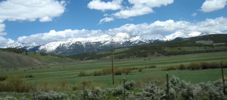
| Things are flat here - the North Park basin. |
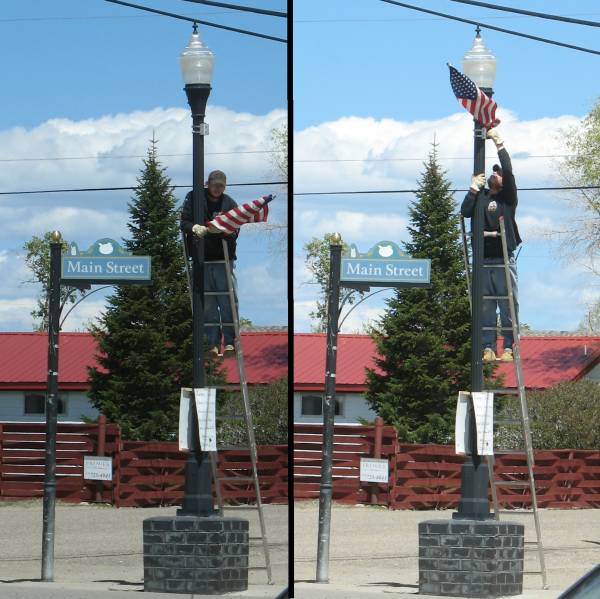
| Walden's a small down - five blocks wide by 8 blocks long. Flag mounting. No large crew with a bucket lift and construction cones in the roadway. Simply a guy carrying a ladder from lightpole to lightpole. Easy. Done. |
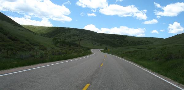
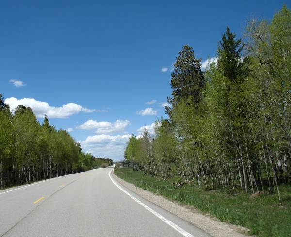
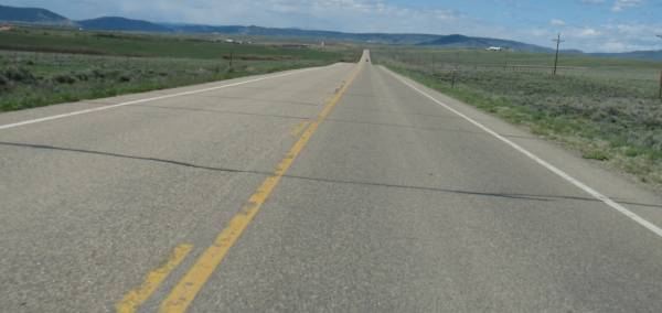
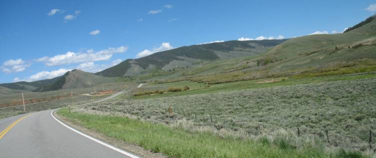
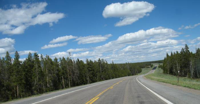
| North of Walden. Still fairly flat though we'll roll through some low pass before long. |
| Old Union Pacific railroad grade on the right. My maps show the line ending at Walden and following the road up to Fox Park WY. |
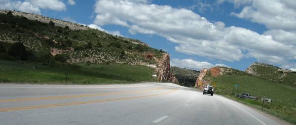
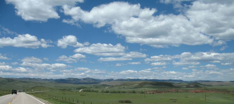
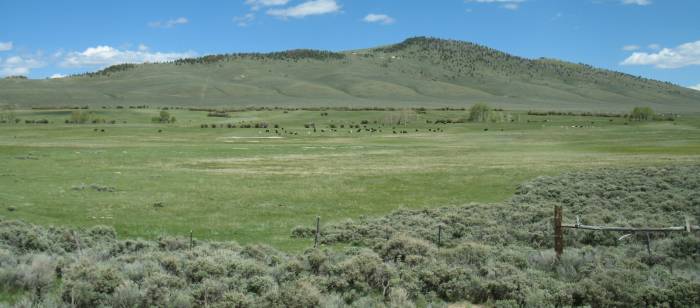
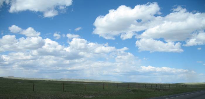
| We're east of the mountains now - rolling grasslands. |
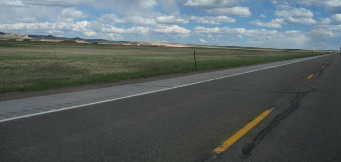
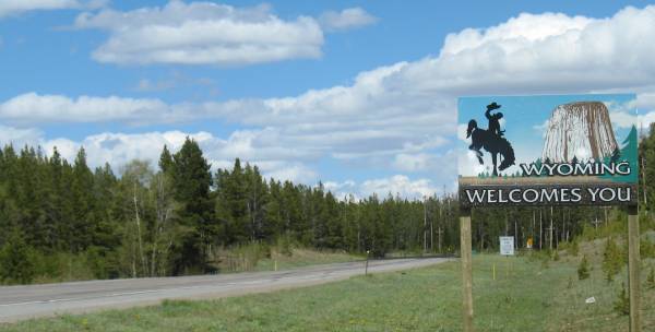
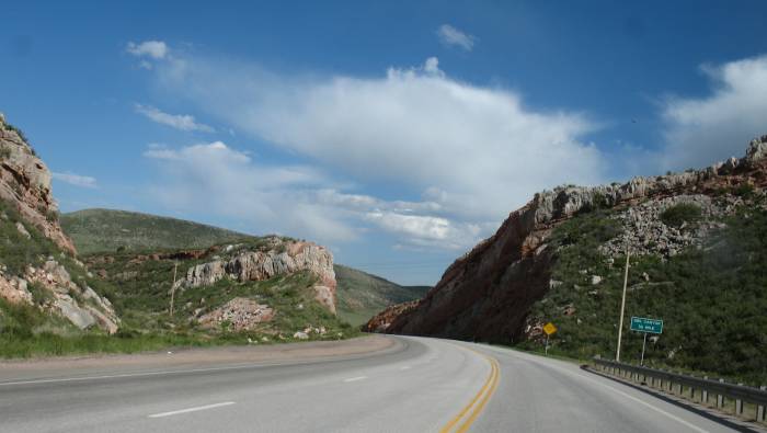
| Back south of the CO-WY state line - US-287 |
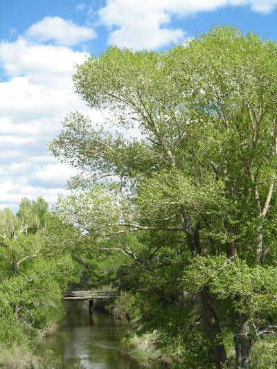
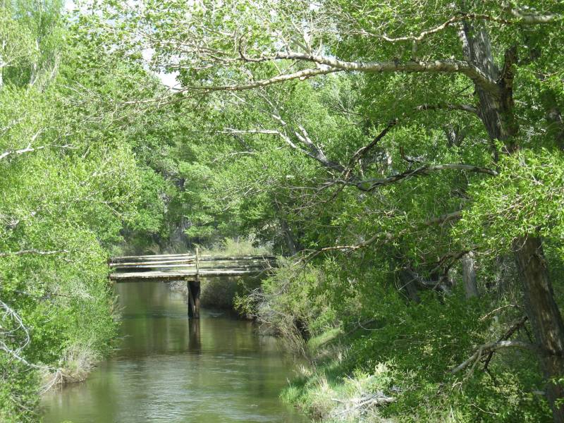
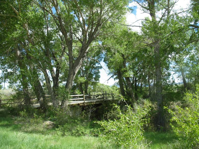
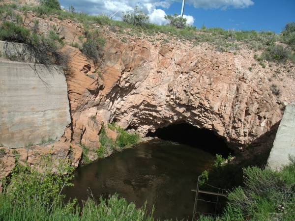
| Water channel and a "tunnel cut". The water was a couple feet deep and moving somewhat quick. |
262 Miles
6:19 total time (h:m)
41.5 MPH Overall average
5:05 moving time (h:m)
51.5 MPH Moving average