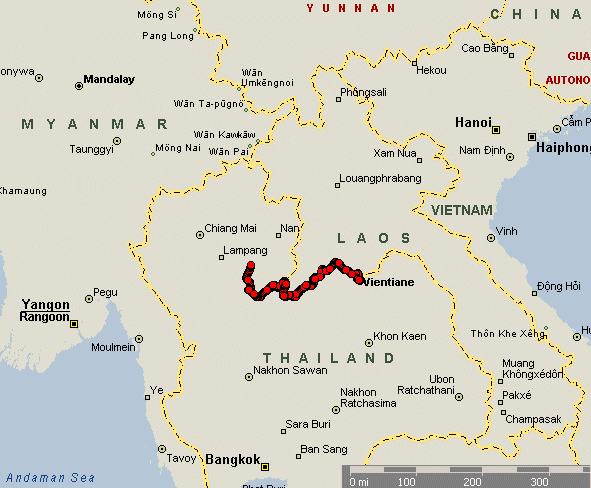
Nong Khai, TH to Phrae, TH
| Rolling
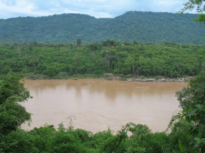
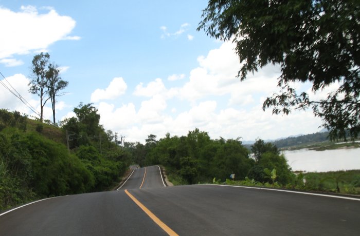
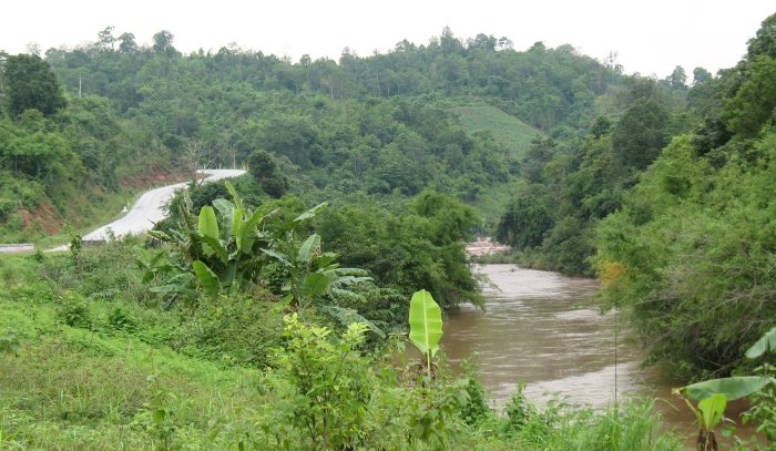
along the river (between points 1 and 2 - listed on a "map" below) I
was reminded of the scenery in Southwest Wisconsin rolling along the
Mississippi River. This ride was much the same except that Wisconsin
is Thailand and the land at the other side of the river
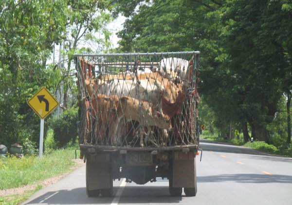
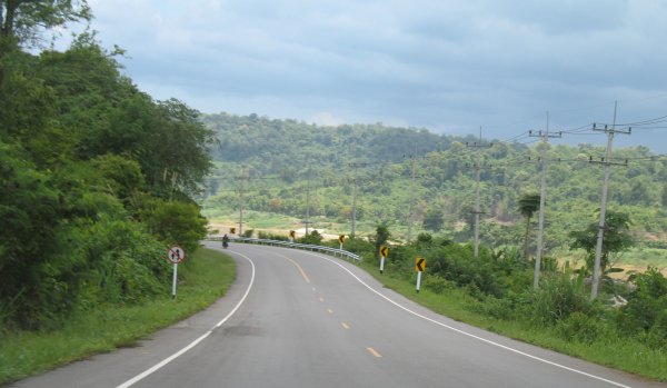
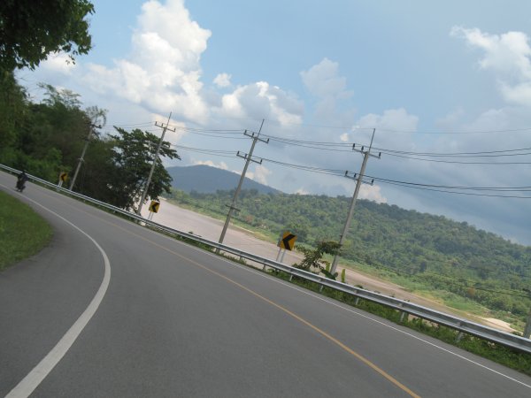
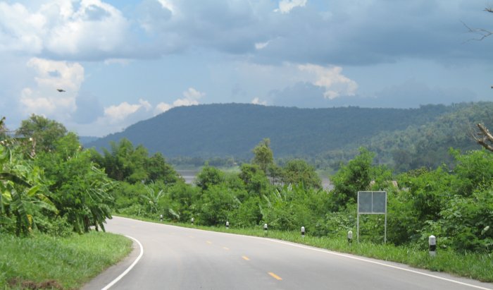
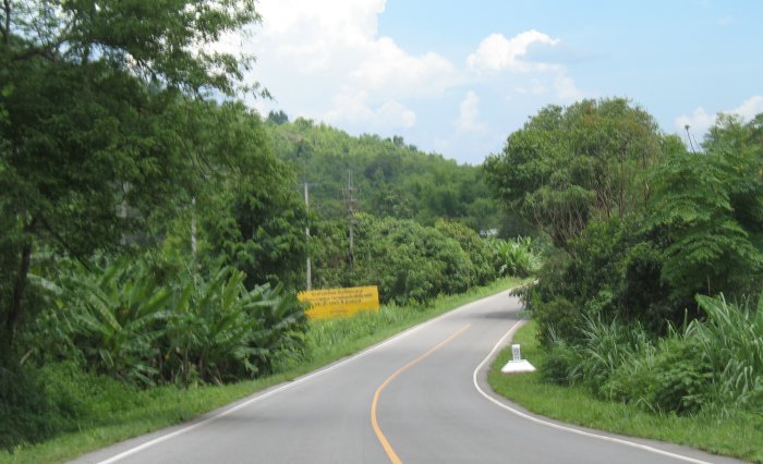
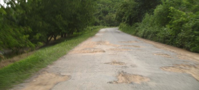
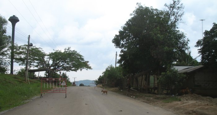
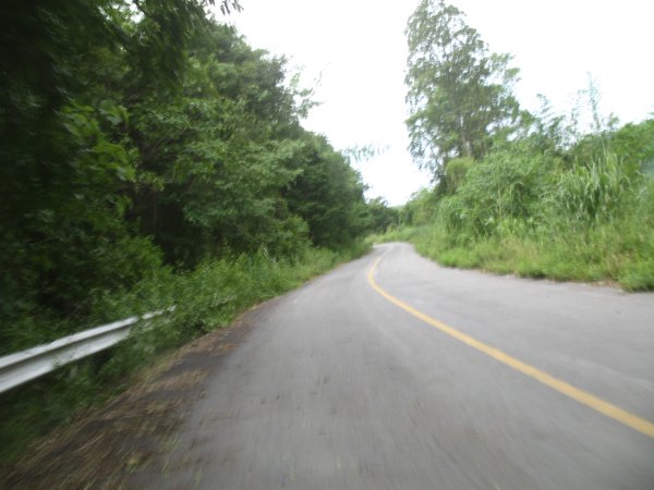
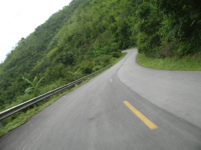
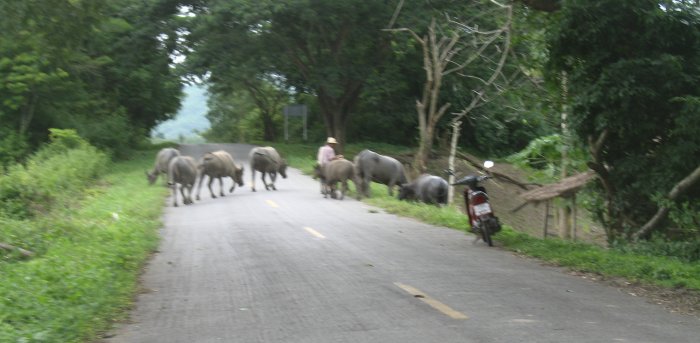
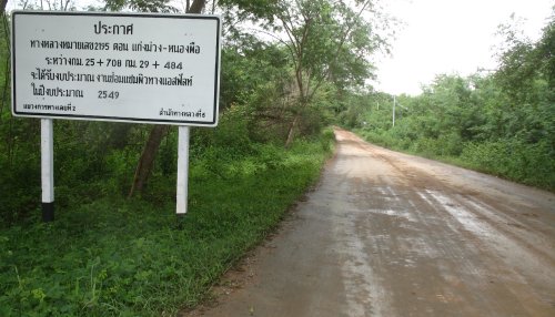
isn't Iowa but rather Laos. More police checkpoints - about 50% staffed. Thumbs up from all of them. Fuel from a 55 gallon drum - hand pumped into the glass jar above it. Winding roads - mostly nice with good scenery. Some potholed sections. Bike runs poorly above 2700 feet. Loss of power and it spits a bit - runs raspy. The white distance markers are very handy - though the numbers sometimes don't make sense or unexpectedly change (renumbering and some are just white posts - no markings). Late day mountain curves - small road - little around. After dark, riding in the small winding roads, I stopped for a moment. It was then that I noticed spider webs crossing the bike and my upper body - strong ones. I've been running through single strands crossing the roadway. I've been seeing more snakes and frogs moving across the roadway. There are fire flys. Thunderstorm in the distance with good lightning to watch - no rain for me though - clear skies with stars. Removing the sunglasses - more adults wave when I pass by. Children most always wave and smile. Adults will often not change epxression - just a bland look. |
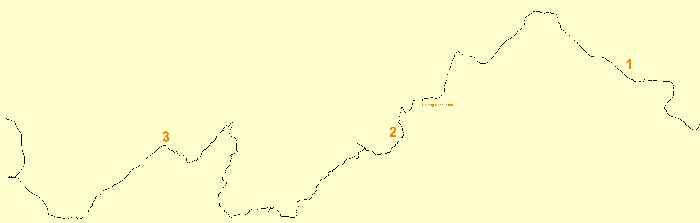
| A different track map - the beginning (right) is missing so I colored it in. The end (left) looks different in two spots. The reason is that the tracklog area of the GPS filled to capacity and I changed the recording method. The method typically used is to start each day with an empty tracklog area and set it to record a data point each 0.25 kilometer. Today, when it filled, I did not want to stop to unload it to the laptop so I just set it to "wrap - overwrite the beginning points" with new points. From the "full" message to Uttaradit the record unit was every 1.25 kilometers but when I could find no hotel in that town and would have to travel to Phrae I changed the setting again to every 3.25 kilometers. |
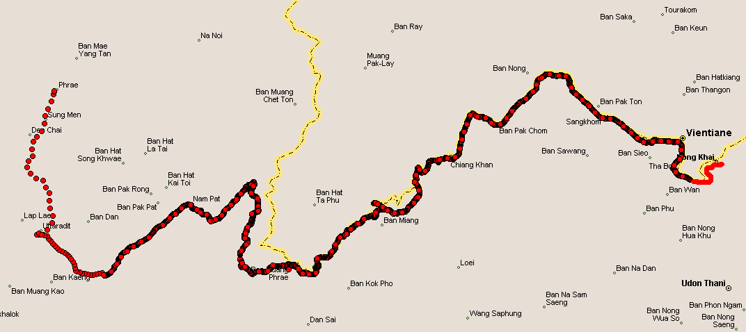
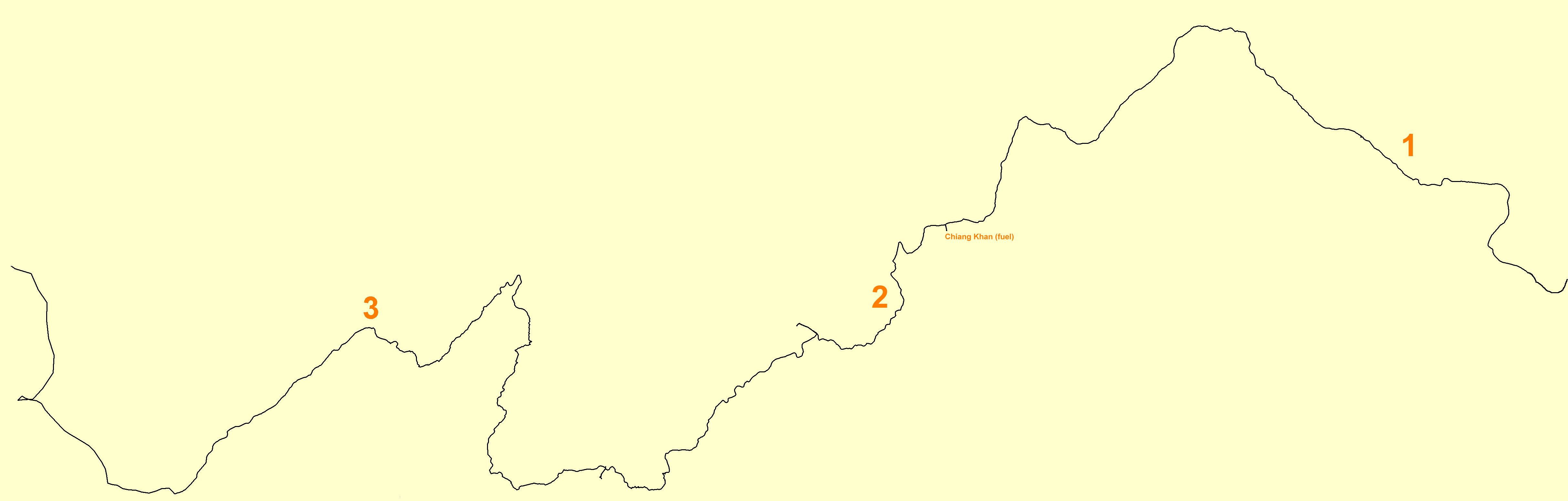
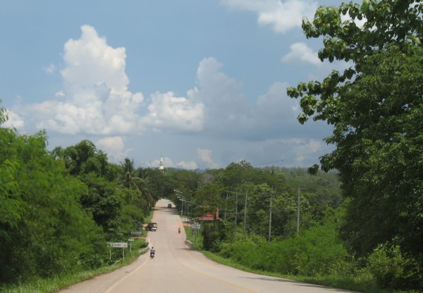
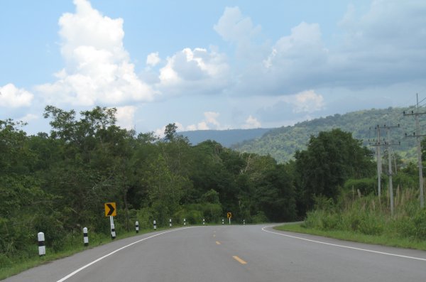
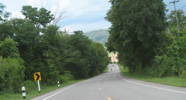
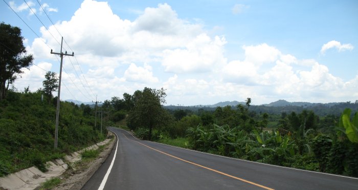
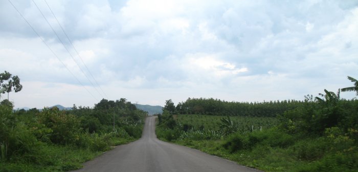
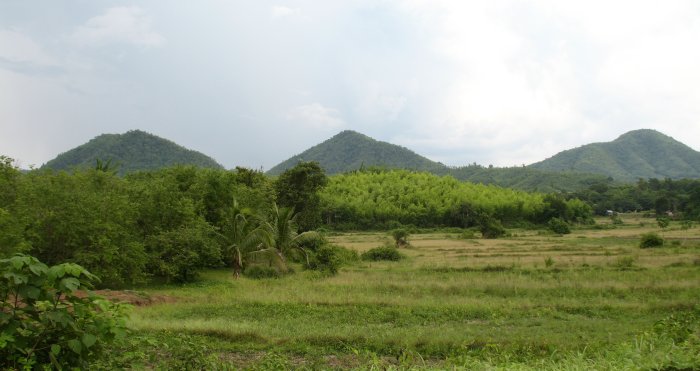
| Click for a larger size From Nong Khai (far right) to point 1 the travel was bland. Between points 1 and near 2 it was second tier highway - some traffic but it was thinning out. The scenery was getting more interesting with some hills and twists. Between 2 and 3 - third class roads. Little traffic wonderful scenery. A few flat areas but mostly running alongside hills - with all of the curves tossed in. From 3 to the end at the left - flatland running - bland. I'd go back and roll around the side roads between 2 and 3 again! |
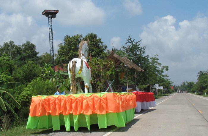
| Parade day - the floats are getting ready. Some were made from a wagon while others were a standard issue pickup truck - with the cab sticking up out of the float. |
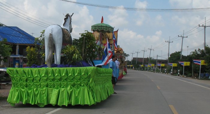
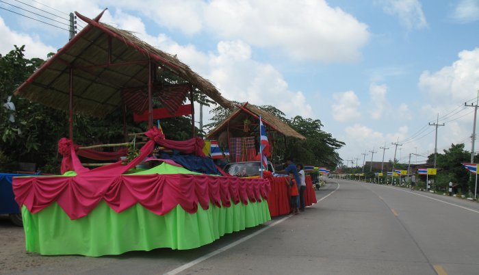
| You can see the windshield of the pickup sticking out of the second float a bit easier. |
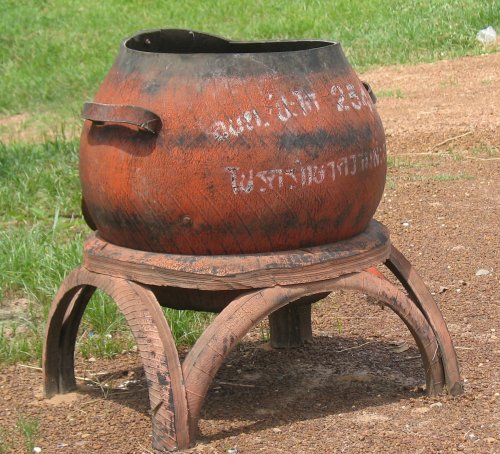
| There's another used tire trash pot. |
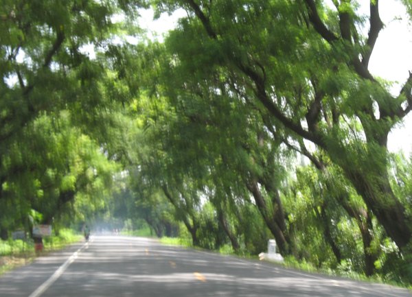
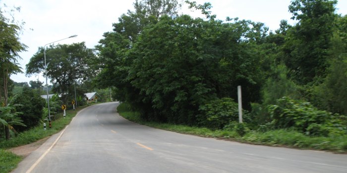
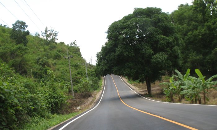
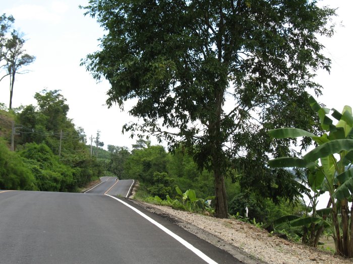
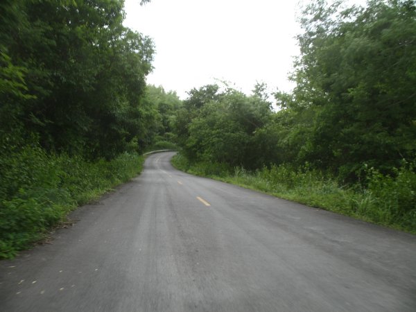
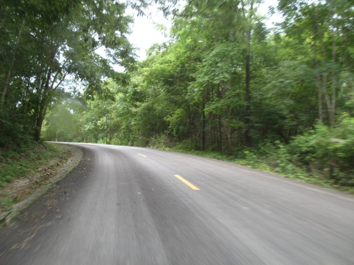
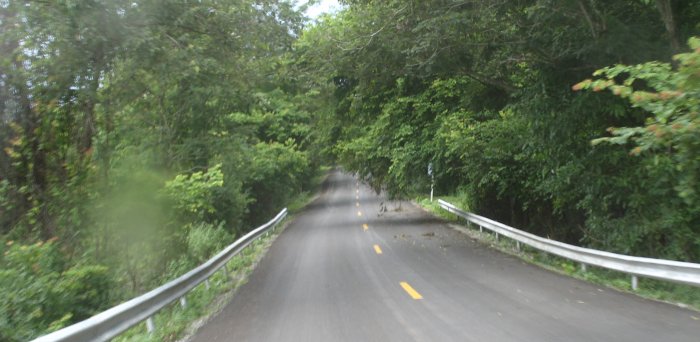
| Trees were arching over the roadway for a good stretch - nice tunnel ride. |
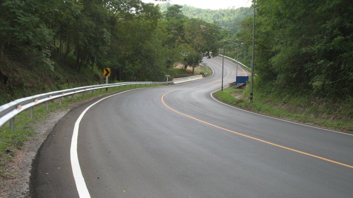
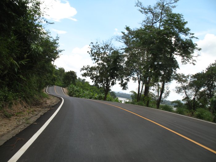
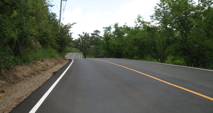
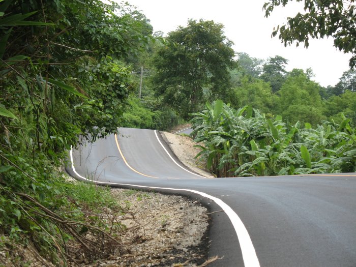
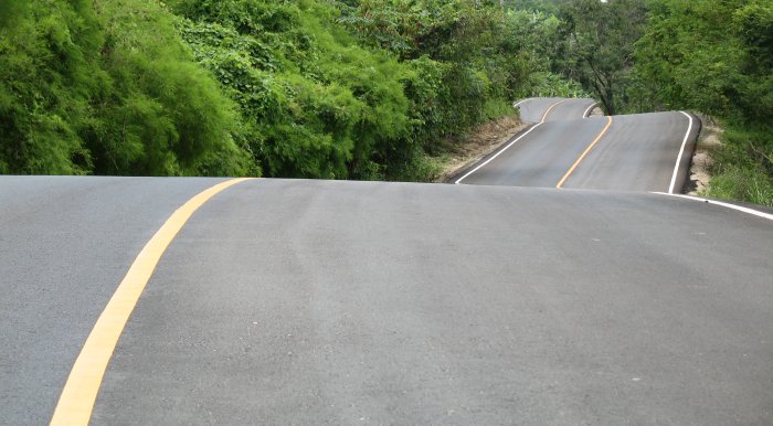
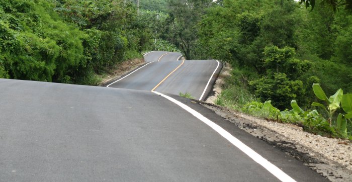
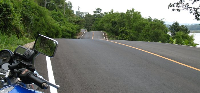
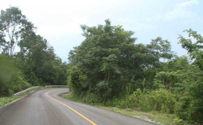
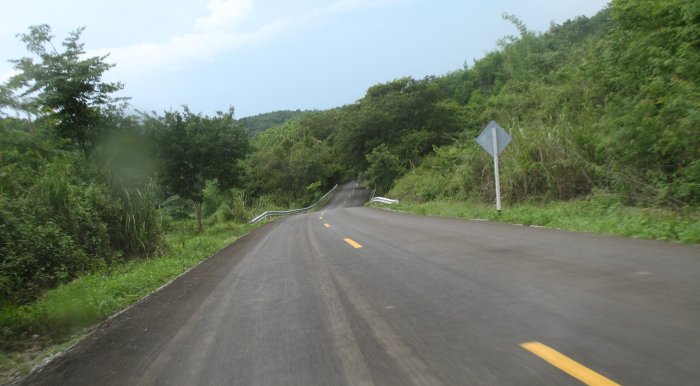
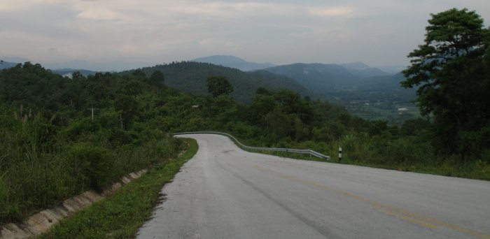
| Hills with their twists.... |
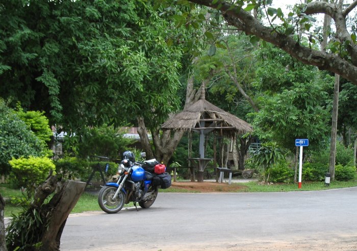
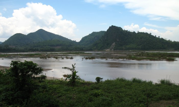
| There was a scenic pullout so I stopped to check it out. |
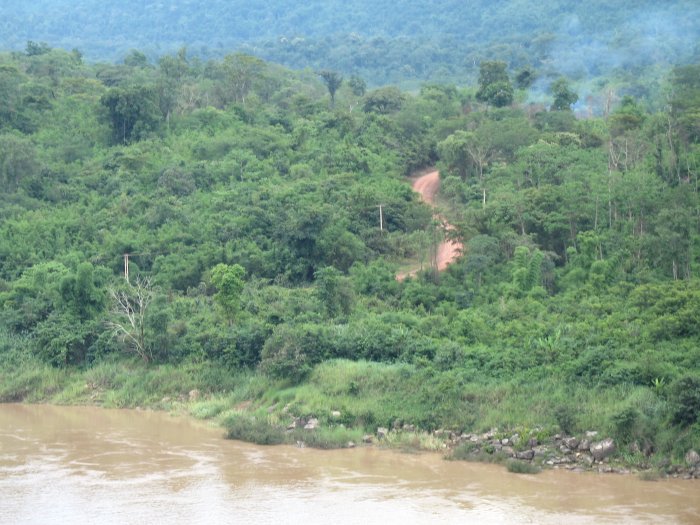
| A small dirt/gravel road winding up the hill over in Laos. |
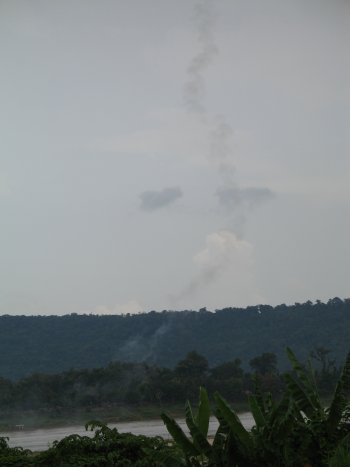
| Rocket trail ! |
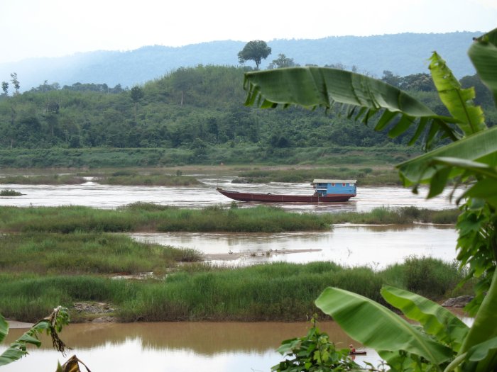
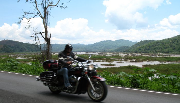
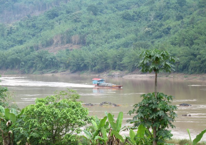
| Even with the low water and the obstacles there were boats out running the river. |
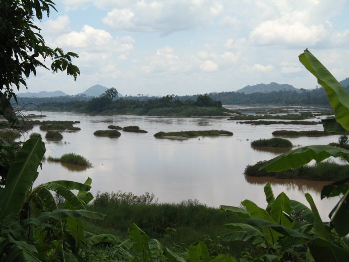
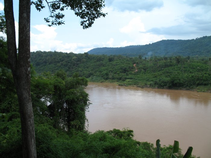
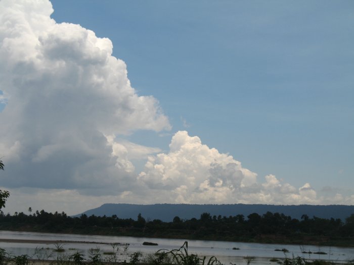
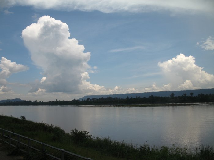
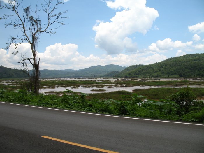
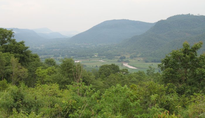
| I think this might be the best view of the set. |
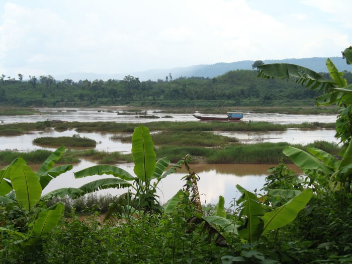
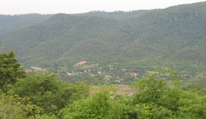
| This might be second - perhaps I should have lined up the mirror for a reflections shot. |
| While I was stopped for this valley shot a group of three travelers rolled on by. |
| Video Boat moving downriver 2006-05-27-boat.mpg MPG, 1.6 MB, 17 sec |
| Some minor top surface holes. |
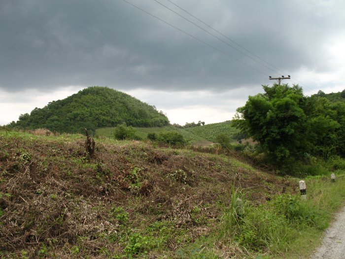
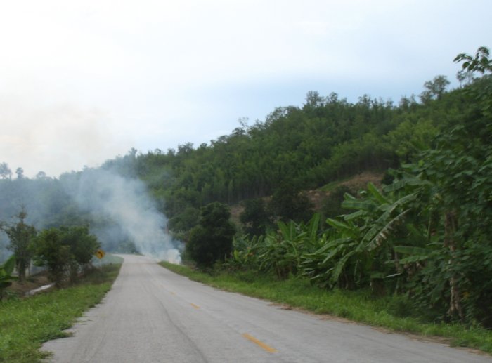
| Some mean clouds overhead - not more than a spit of rain and a couple shots of lightning though |
| Police checkpoint - nobody about. |
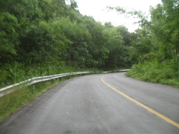
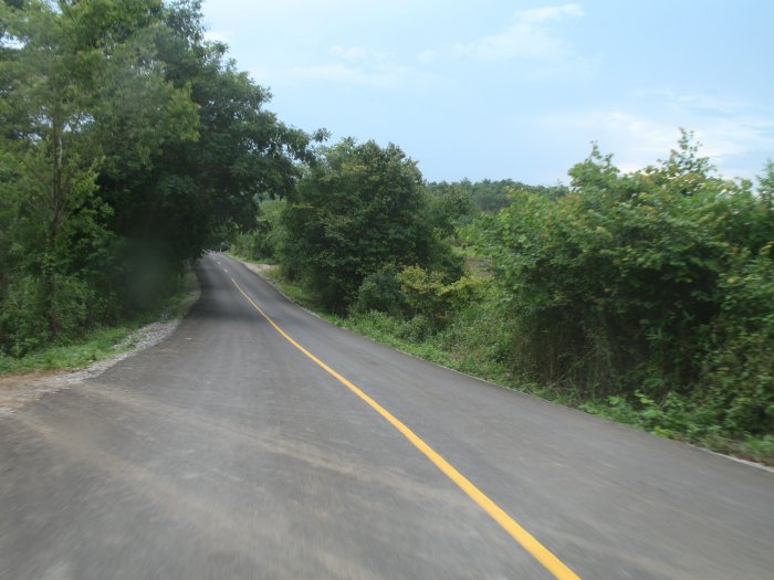
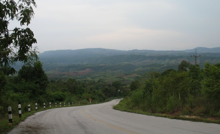
| Third tier roadway |
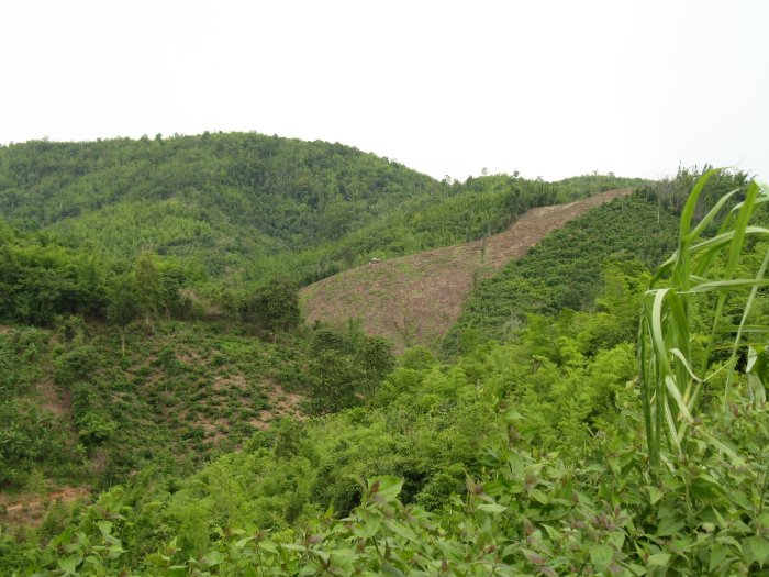
| I think there is a fair bit of rubber tree planting going on. |
| Low hanging tree |
| At a 4-way intersection there were no signs on which way I should take. I didn't want to go right as that was Laos (nor was there a formal border crossing around). Left or straight. I chose straight - it was a dead ender in a town not more than 2 kilometers down. |
| The road ended. The locals there (some gathering was going on) thought me a bit odd - but one did come over and ask "Where you from?" - U.S.A. - Chicago. |
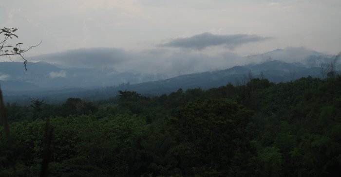
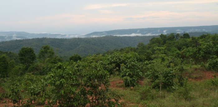
| The clouds were hanging low in the valleys |
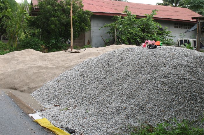
| Riding through this town - in front of one house were these two piles of sand and gravel. On top were two kids "construction" toys - had to stop. |
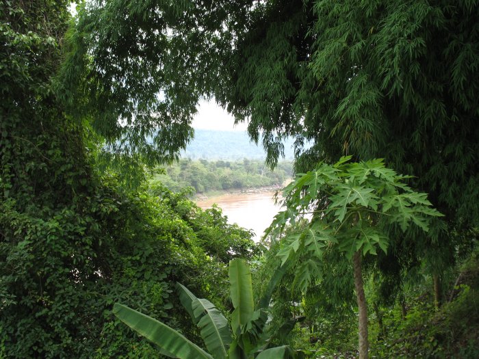
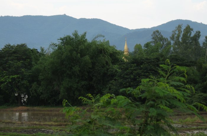
| It seemed like no town was nearby - but something was just over the trees. |
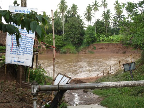
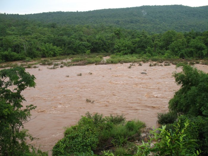
| This river was rather strong |
| Coming up a hill. |
| I just came from this valley.... |
| ...and into this town I took a right and came up to the top of this hill. |
| and now to head down... |
| As I round the corner off to the far left the road would jump up and over another ridge. With the rains - not sure if it was recent or past - but the top surface of the roadway had eroded away in many spots. Almost completely in a few. |
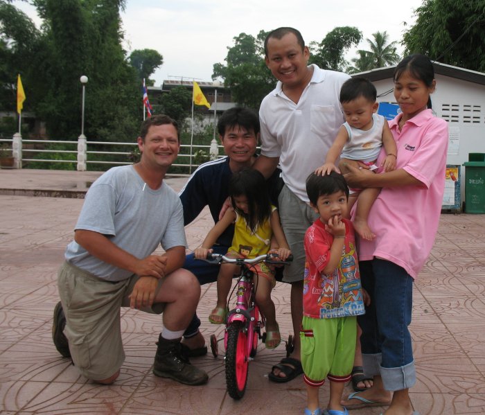
| At another village the road forked and while it was signed my map wasn't good enough. I asked a nearby gent (blue shirt - next to me) for directions and he wasn't sure but motioned for to follow him and he hopped onto his bike. A quick hop to the town square were these other folks - family I assume. The gent in white was from Poland and spoke some English. He told me to take the left fork - done deal. Thanks folks - nice to meet you! |
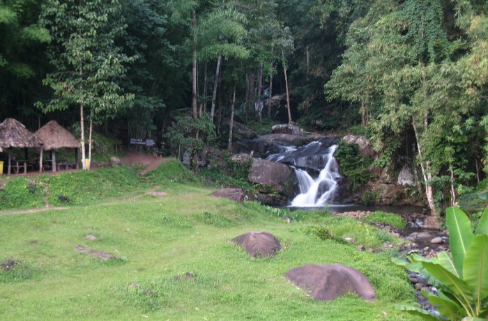
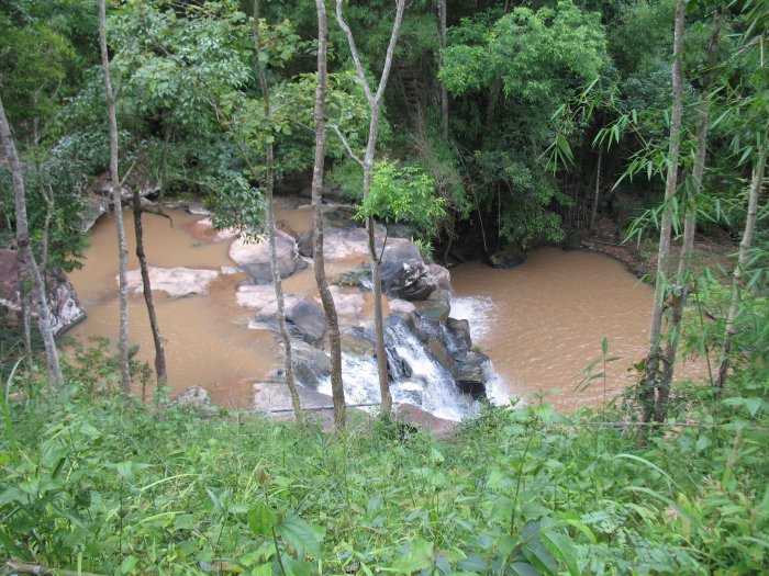
| Roadside waterfalls. |
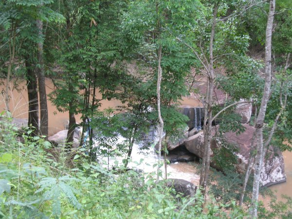
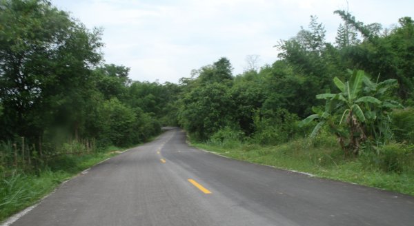
| And another. This was in a set of hills - fun riding. |