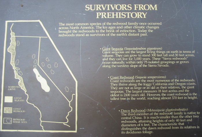
Midpines, CA
| The forecast held - a wonderful day. Blue sky, decent
temps. Off to Yosemite I go. While the valley is open Tioga Pass and
Glacier Point are listed as closed. The entrance booth said that one or
both might open up today as the storm from days past was not as strong
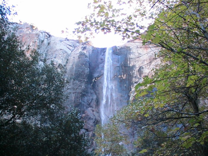
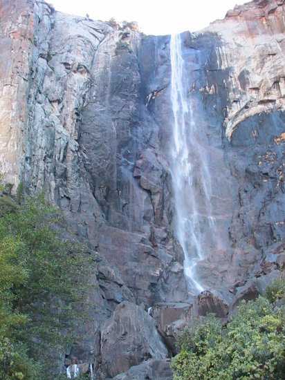
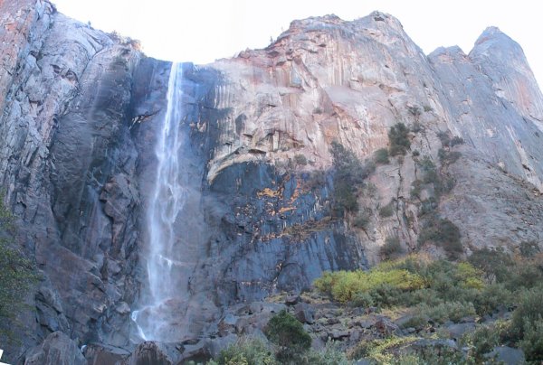
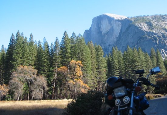
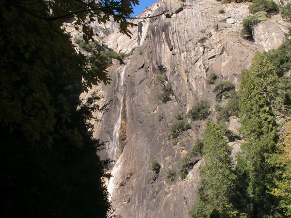
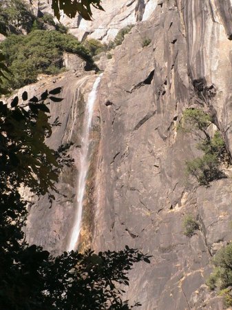
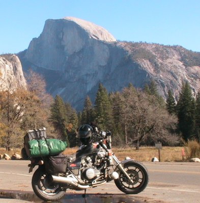
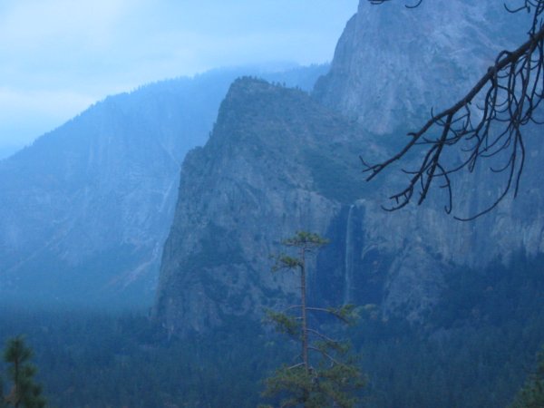
as predicted. My hopes are up for a visit to both. In the valley the first stop is the first waterfall - Bridalveil Falls. A short (3 minute) walk from the nearly empty parking and I'm there. Not as much water falling this time of year. My other visit was July 5 - right during the spring snow melt - all of the falls were gushing. "Mist Trail" was "rain trail" that time. Poking farther up the valley I was taking pictures of the rock walls and tall trees. There was a good amount of construction going on with several detours. A detour here is different than most since the valley floor is fairly confined. A blip by Curry Village (wooden frames with canvas covers - wooden floors too) where I noticed they had power to many of the tents - light and heat. Heading down the valley on the other side of the Merced River I stopped at the Yosemite Falls. There, after a warm five minute walk to the viewing area, I unpacked the "to go" lunch I purchased at the hostel in the morning. It was an "assembly required" lunch of ham and swiss with mayo, mustard, an apple along with a bag of trail mix including two cookies. The ham, cheese, and bread were individually wrapped for freshness - smart. Through lunch I offered to take pictures of various groups and individuals - always fun specifically when no common language exists. Lunch finished I made another call to the park info system - Tioga Pass is still closed but Glacier Point has been opened - that's the next destination. Glacier Point was a nice ride, as was SR 41 / Wawona road to the south - lots of nice curves. Glacier Point's attraction was the vista point at the end - views of the valley as well as of the high country and Half Dome. Several pictures and a couple minutes of video I headed out with a thought of seeing the Mariposa Grove of Sequoias (Tioga pass still closed). The Mariposa Grove is only 20 minutes or so south of the Glacier Point road intersection. A few large trees are visible from the grove parking lot but to see more of the big ones you need to trek into the forest. Defined walking paths exist and at certain times of the year you can also take a trolley ride instead. I walked in about a mile seeing (if I have the names correct) the Bachelor and three brides?, Grizzly Giant, Tunnel Tree. The fallen trees are as interesting as the growing ones. With the fallen trees you can get better perspective as to how large (diameter as well as height/length) these things are. With the walk back to the bike I was read to head back to the hostel - a good day visit to Yosemite had. |
Video
Yosemite
2005-11-09.mpg
MPG, 12.7 MB, 1 min 36 sec
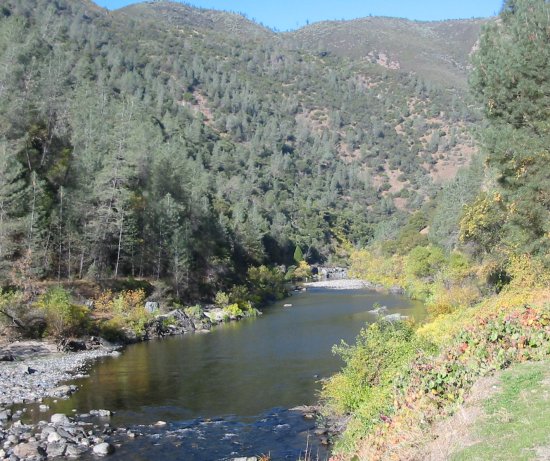
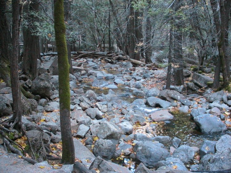
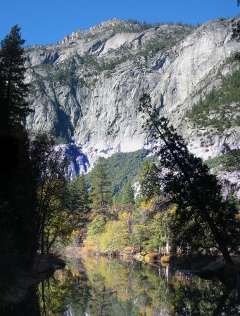
Merced River
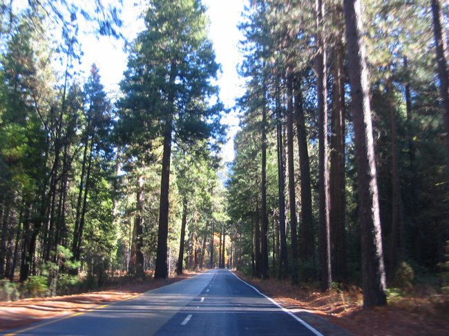
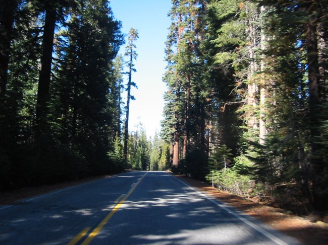
Somewhere between Midpines CA and the park entrance
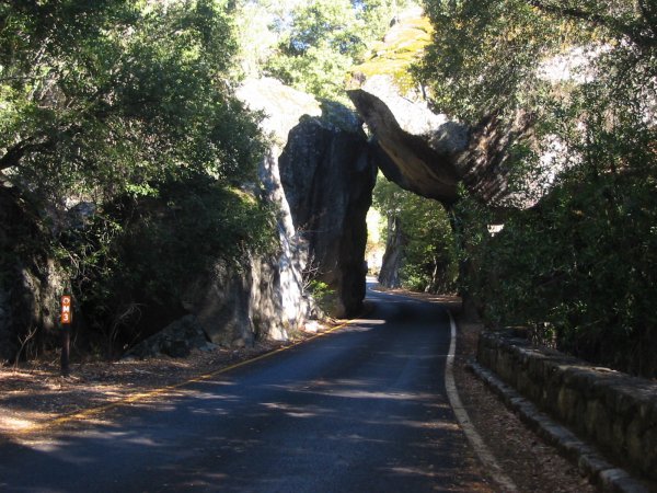
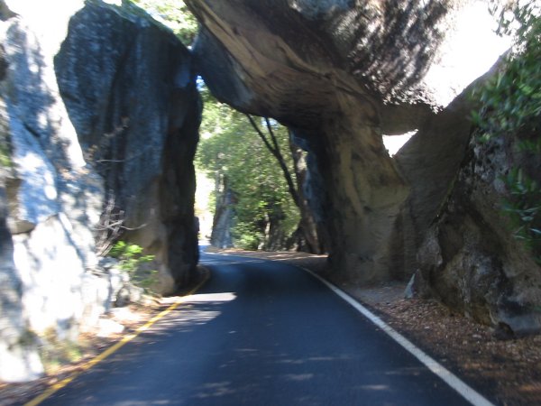
Just inside of the park - rocks
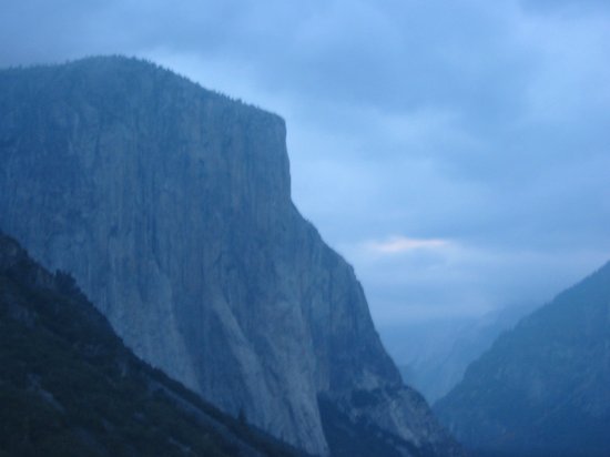
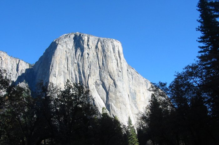
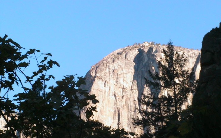
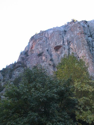
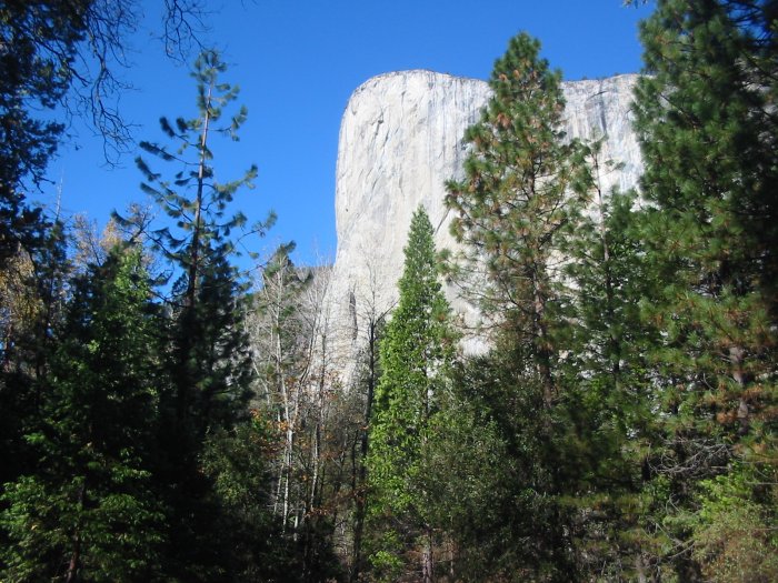
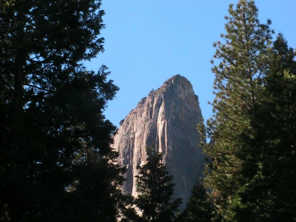
El Capitan - ever distinctive
3200 to 4000 feet tall
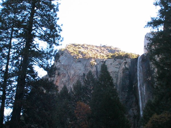
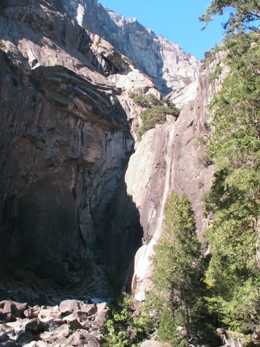
Bridalveil Falls
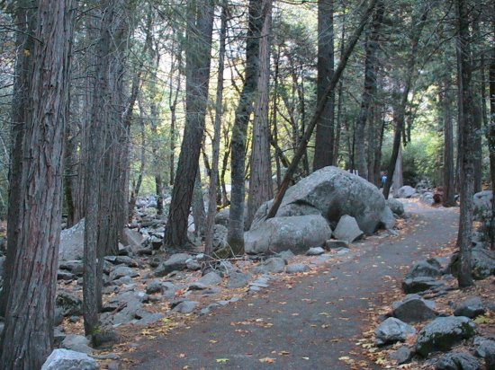
Path to Bridalveil Falls
(Click for a larger size)
Back on the valley road
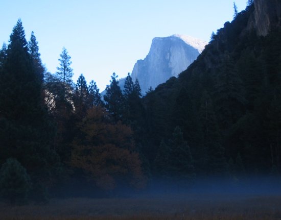
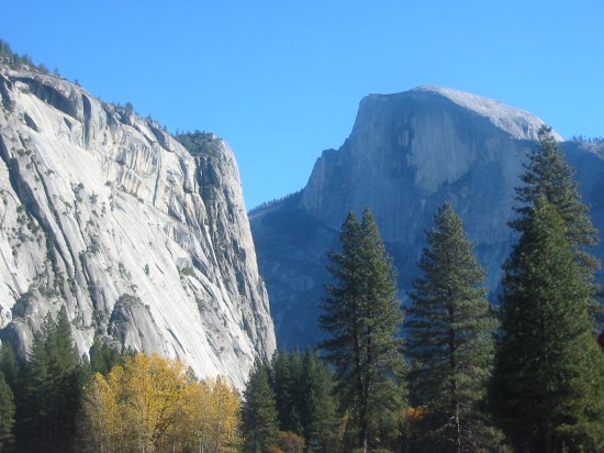
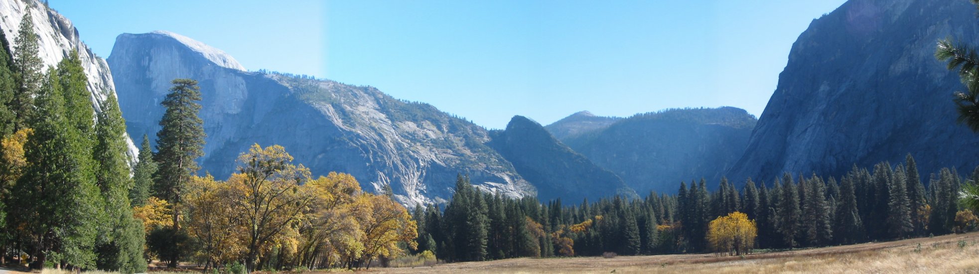
Half Dome and valley floor mist
Seem like an odd picture???
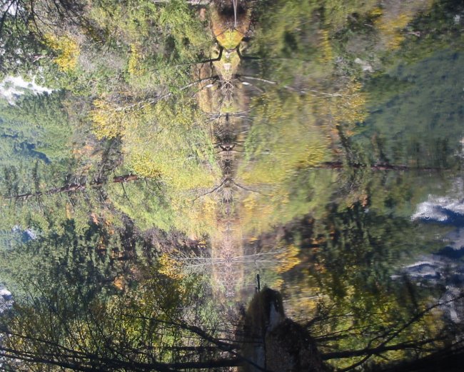
Here's the "normalized" view
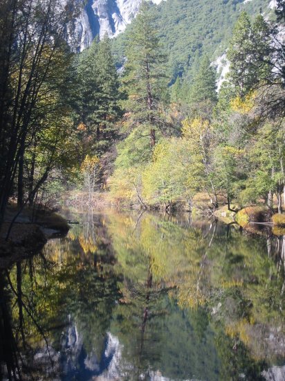
Click for a larger size
I think this is the face of El Capitan
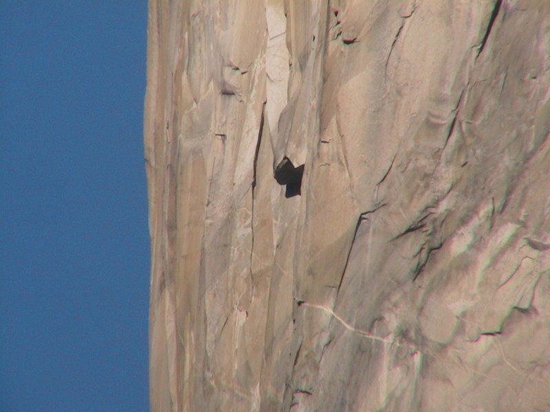
(Click for a larger size)
|
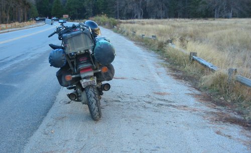
OK - so the bike has issues with falling over. It happened at a gas
station at home once (no luggage - stock setup). It happened at a gas
station in Shoshoni, WY last summer - high winds from the left side of
the bike and perhaps marginal lean on the kickstand. But this picture -
another tip. Notice the marks on the gravel to the right of the bike.
It had just tipped over. I pulled over - noting the spot so as to keep a decent lean on the kickstand - and stayed on the bike while calling family. While on the phone I noticed I was tipping over (to the right). I jumped to the right and landed on my feet - as the bike hit the ground. At this point laughter was the order of the event. I had to hang up to tend to the bike (don't want fuel to leak out). A park employee or contractor was driving by and nicely assisted in the lift. With the bike back upright I took a couple pictures of the setting - to me the bike seems to have a decent kickstand lean. Perhaps, in this case, it was my weight and moving around that caused it. One large bonus is that with just about any tip nothing gets broken or adversely damaged. The helmet, often on the right side mirror, has succumbed to some surface scratches though. |
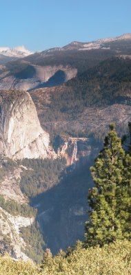
Looking back - Half Dome
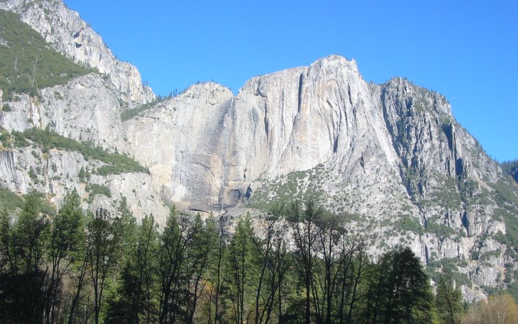
Lower Yosemite Falls
Click for a larger size

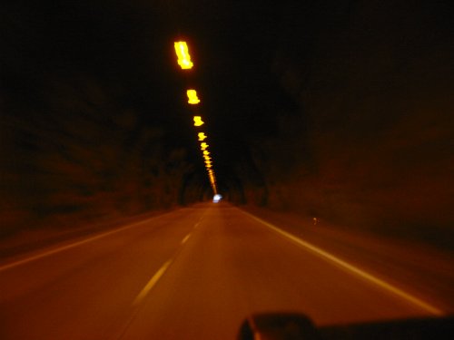
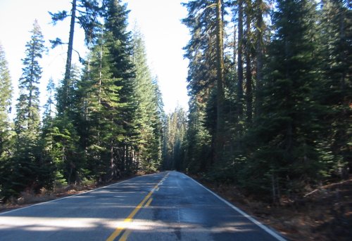
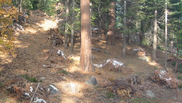
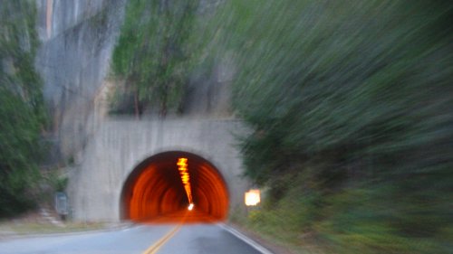
Making way from the valley to the park southwest entrance (Glacier Point and the Mariposa Grove destinations) - head through the tunnel
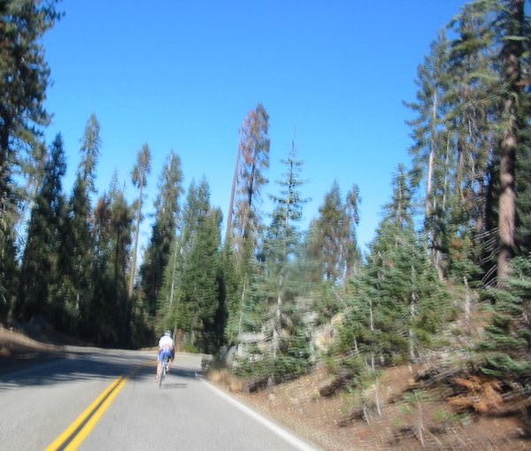
Nick pedaling away. I wish this picture was a bit more clear - but oh well.
He was cycling down the road as I approached. I turned the video on and stayed behind for a corner or two.
On an uphill section I passed by. Since this was on Glacier Point, a dead end road, I figured I'd see him at the lookout
point to exchange a contact card. Not seeing him there I wondered if we'd meet up. We did - but he was back nearer to the intersection
of the main road. I waited at the top of a hill (not wanting to kill his downhill speed) and flagged him over. I passed over a contact card and
asked him to give me an e-mail - I have some pictures and video of him doing the biking. He commented that this was his first visit to Yosemite.
He's in Fresno for a few weeks doing some Emergency Room work. I'll work up a video for him in a week or few.
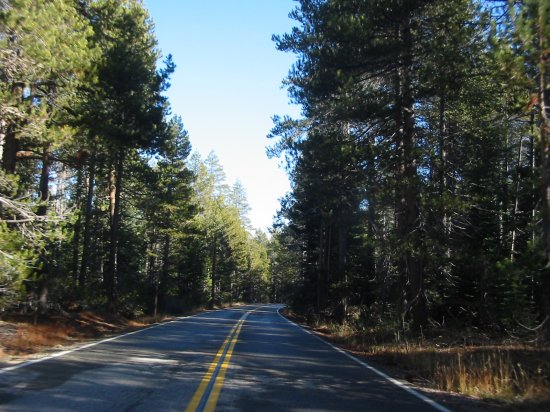
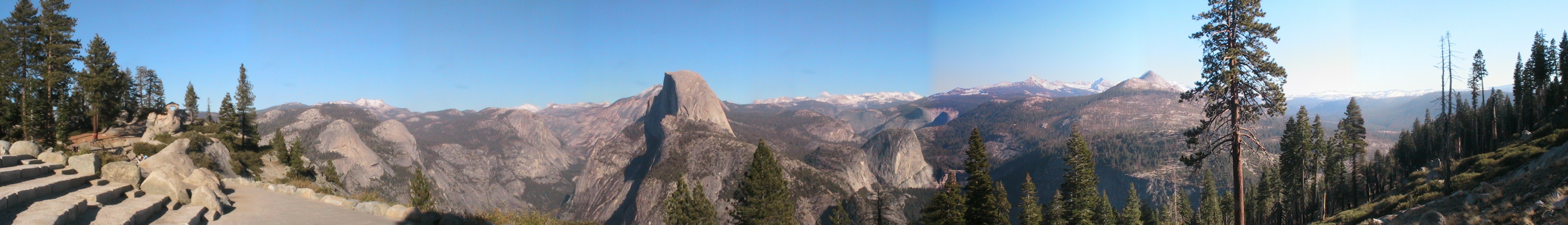
Glacier Point road - heading out to the end.
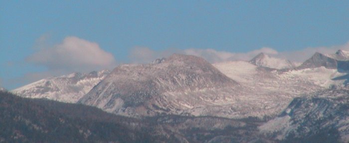
The high country from Glacier Point
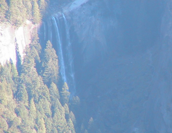
Nevada Falls
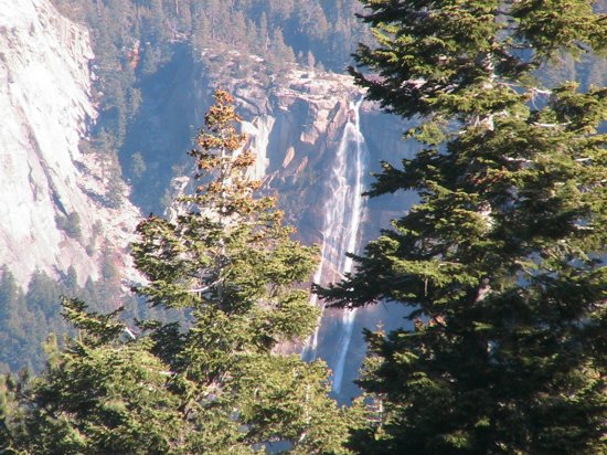
Click for a larger size

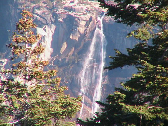
Vernal Falls
Nevada Falls
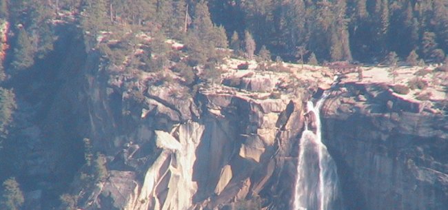
Nevada Falls - upper falls visible; Vernal Falls - lower falls visible
Click for a larger size
Half Dome from Glacier Point

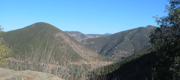
Yosemite Valley (it goes left to right) - road cut on the far side of the valley
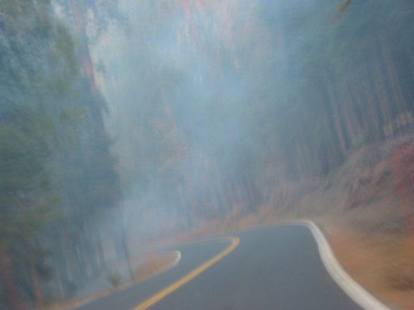
Back from Glacier Point and heading south on the main road (SR 41 / Wawona Rd) I came across these fire starters. Prescribed burns taking place.
These piles of brush were gathered up and then covered with either a plastic tarp or what looked like a paper cover.
All of it would be an easy burn for the purpose.
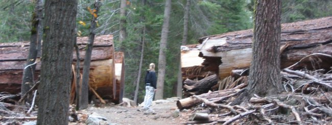
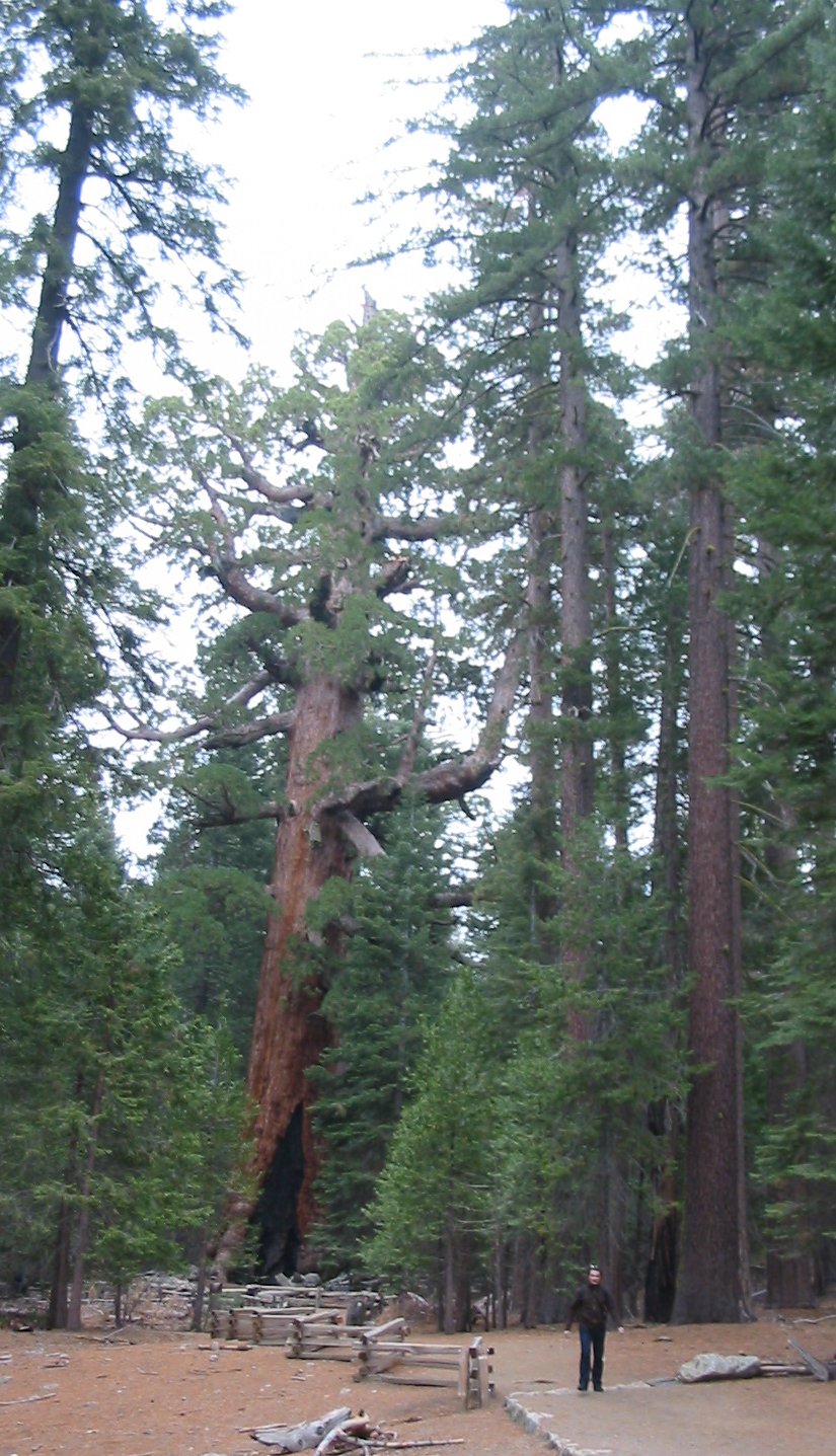
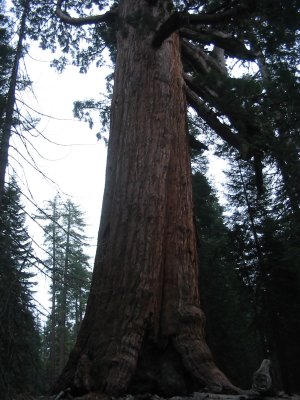
Down at the Mariposa Grove - big Sequoia trees
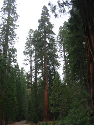
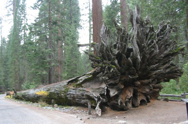
Even on their side they are taller than most people.
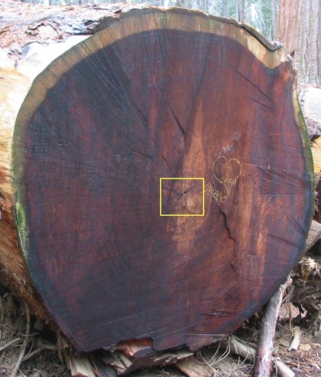
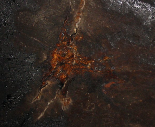
OK - let's start to count the rings in this tree (this is one of the trees pictured above)
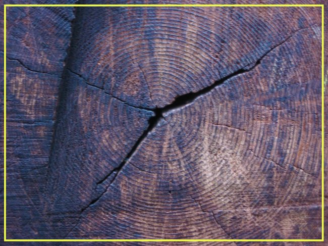
Think the tree is a few years old?
The yellow box below corresponds with the yellow box above.
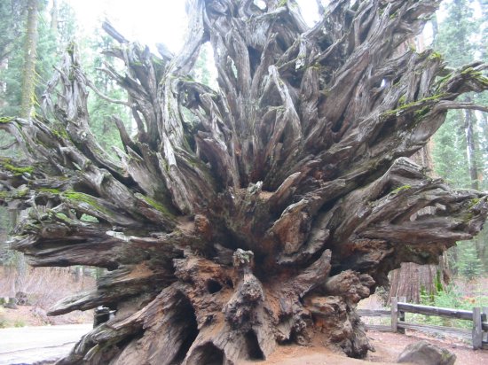
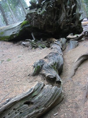
Twisted root
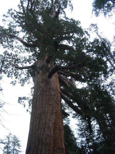
Grizzly Giant
Evidence (burn marks) of fires at its base.
click for a larger size

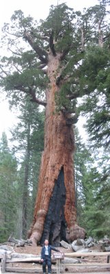
Me at the Grizzly Giant
This is a stitched photo (more than one picture put together) that is a bit 'off' in the stitching
Click for a larger size
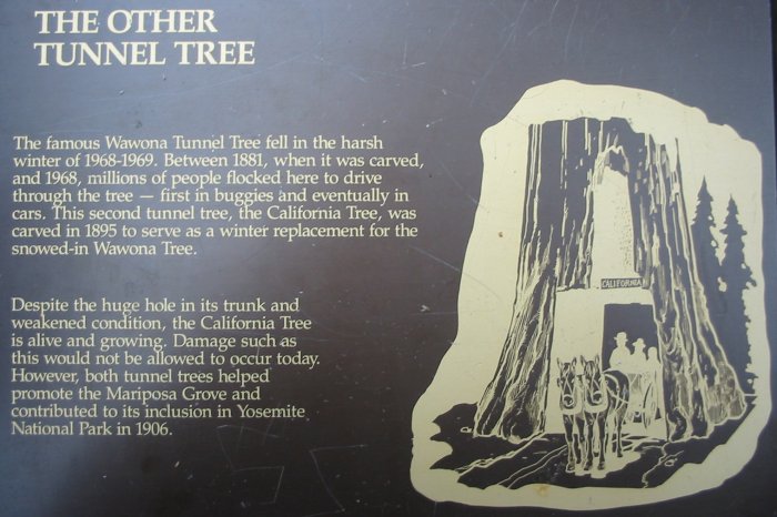
Tunnel Tree
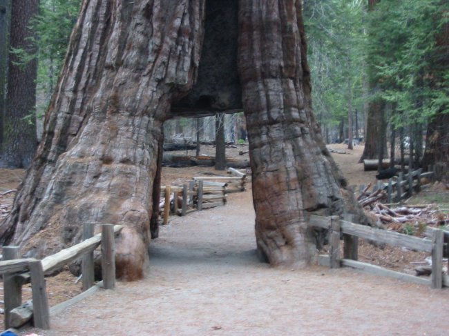
Walking under a living tree - at the center of the tree trunk - looking up.
A tree this size would squash me flat should it drop straight down.
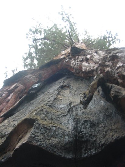
Looking up from the edge of the tree
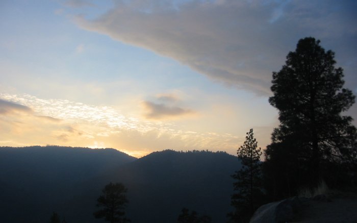
Sunset
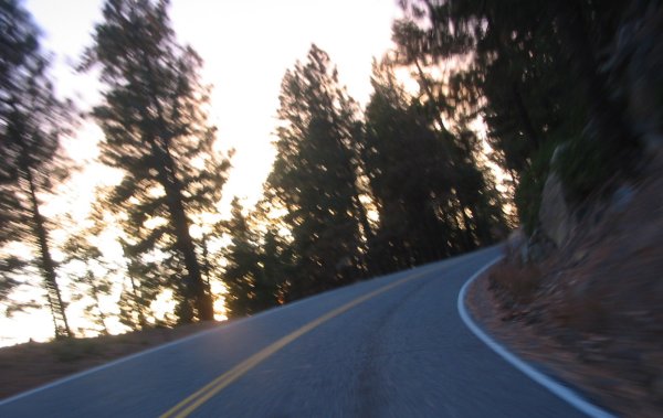
Heading north on SR 41 back to the valley and Midpines
Smoke from some of the prescribed burns
Back through the tunnel...
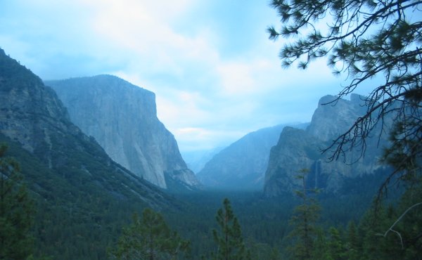
Out of the tunnel is a parking lot - one quick snap in the waning light of the fantastic valley.
Bridalveil Falls
El Capitan