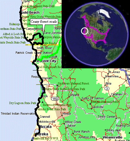
Crescent City, CA To Eureka, CA
| Plan for the day - head north into Oregon to see southwest
Oregon's coastline, then head south, checking out a side road along the
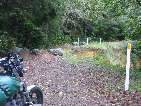
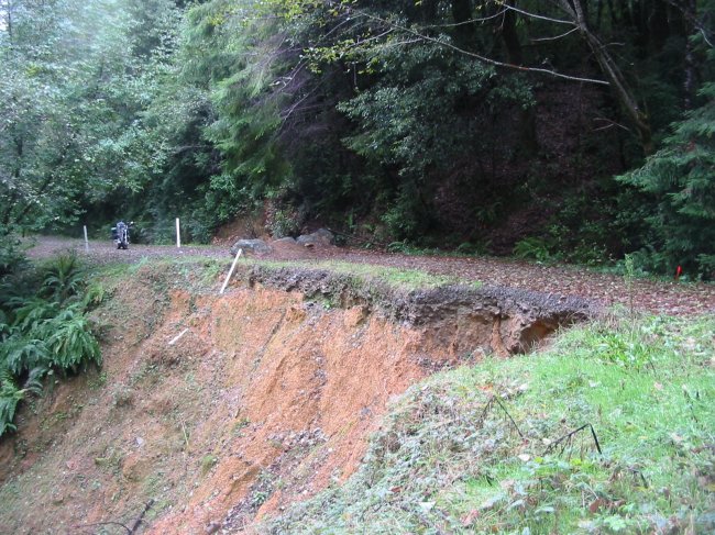
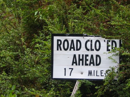
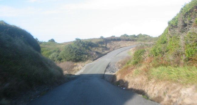
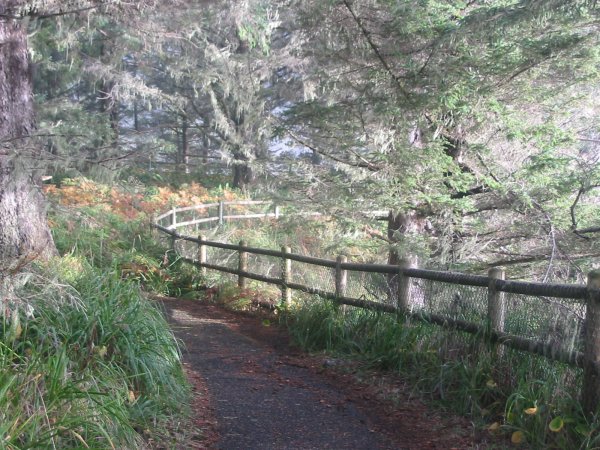
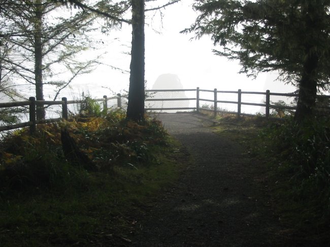
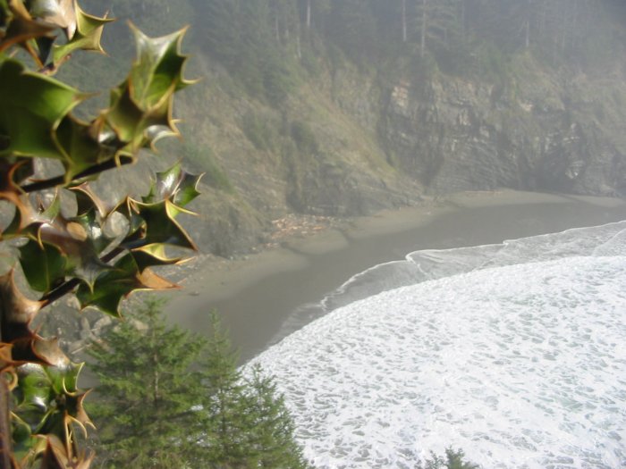
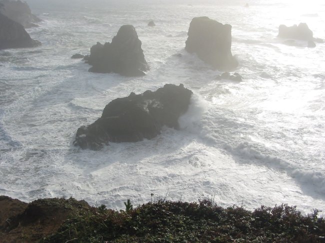
way, to the Midwestcoast B&B&B in Eureka CA. Not knowing how long the "side trip" would take I figured I'd do that first so that I could readily adjust the trip time - I could turn back at any time up the coast so that I could make it to Eureka by 6ish. The side trip was an event - an event compiled with "Let's just see what's around the next corner" - compounted by repeating this phrase often - and the other phrase (to which shirt I had on emphasized) "take the road less traveled." This road less traveled was the jut to the east as shown on the map. It started as a nice asphalt thing. It turned to a gravel thing with a sign stating "Road Closed 2.5 miles". OOOooohhh - it was taunting me - what closure might we have at hand? 2.5 miles - piece of cake - let's at least find out (and 90% plan on turning back - that 10% thought...). Two point five miles later I saw what I thought a possibility - a washout. It had been washed out for some time. Boulders had been put into place, along with some marker sticks, to close the roadway. The roadway though was more than half intact - and it wasn't even undercut. Adding to that was the fact that two wheelers were routinely passing through. Soil had been mounded between two of the boulders to allow a bike to ramp up and between them. Hmmm... An adventure! I can't pass this up! It's safe - really. Hmmm... more thoughts and what if's. Should things really go bad it's only about 2 miles back to the last house - 3 miles tops to other houses. I could even make it back through this closure in the other direction and not be forced to process the whole loop if I didn't want to. Alternatives considered and roadway evaluated I hit the starter button. First gear and to the ramp between the boulders - nice and slow - no need to rush. The ramp, while good, was not quite what this street bike wanted - it bottomed out at the crest of the ramp. Not much - but the bike did come to a stop. The exhaust chamber is what the bike was resting some weight on. Fortunately it was not a crushing blow (I did take it slow). A bit of rocking with throttle and clutch and I was over the first hurtle with some pushing on the bars. Passing by the washout - no issues there. The second issue was at the other boulder set. This set was a simple "go around" obstacle. To go around I had to dip slightly into some mud and then up the shoulder onto the roadway. Some slick mud, street tires, slow speeds, uphill - certainly some stoppage with some slippage. A bit more with the rocking, influencing, throttling, clutching - done deal. An accomplishment. Could I turn back should I want / need to - sure. But what's around the next corner.... After all - it was already programmed into the GPS. Roll'n, Roll'n, Roll'n, mile after mile after mile. Out in the "middle of nowhere" but still close to somewhere. Logging roads. This route was the main one - which is why it was upgraded to gravel. Others were of a smaller class - some being overgrown. The forest was not ready to be harvested again. These are the dormant years for the logging roads. Recreation is the primary use. Each intersection was straightforward - I'm at a level to where I'm following the road "more traveled" - an interesting twist. After some miles I came to an intersection. The GPS had me taking the road less traveled (left) whereas the more traveled turn would have been to the right. This calls for some additional information. Out comes the laptop. With the GPS connected to the laptop I could see exactly where I was - and the route I selected the evening before and the route that looked to be the choice. I still think "to the left" will work so I head to the left. About 30 seconds down the road the little voice starts to scream. I listened and turned back. It was screaming "didn't you see that OTHER sign laying down in the grass back there!!" Well that OTHER sign was a road closed 3.5 miles - just like the sign that was on 'my road' saying Road closed 17 miles. So - 17 miles back on my road it was closed and 3.5 miles ahead on my "left turn" road it was closed. Again the road "more traveled" looks to be the correct choice. I did give the 3.5 miles a consideration - perhaps I could get by that closure too??? But after being on this gravel stuff for nearly 20 miles - running at 15 to 25 mph - I was getting to the point that I'd had enough adventure. Another quick laptop unpack to update the GPS with the modified route - about 10 miles to asphalt - off on the right fork I go. Not more than a couple turns I started to see vehicles (aside from the county tractor / mower at the intersection). First a clean white pickup sitting on a side road. Then a green pickup with a couple getting out. A Jeep traveling uphill (me downhill). Lastly a van. Sign posts are getting more common then, pop! - a stop sign and asphalt. Ten miles later I arrived back out on 101. The "side trip" took a bit longer than I anticipated - 48 miles, 2 hours, 37 minutes (19.2 mph average). The "direct route" the distance between the two points of the side road that 101 connected - well this was a bit more direct - 4.3 miles, 5.5 minutes. It was also filled with more cars. Once I was back on 101 heading north I went into "spotting mode". I wanted to spot places to stop at on the return trip. Enough of heading north I turned back and stopped at many of the scenic spots - and there are many. Some of the vista points are directly visible from the turn out while others require a decent walk down to the beach. With pictures captured I started the jump to Eureka Ca. Seeing that I'd be about an hour past 6ish I called to let them know I'd be "7ish". Done deal - keep moving. |
Video
Forest Service Road 1107
2005-10-28.m1v
MPG, 2.8 MB, 23 sec
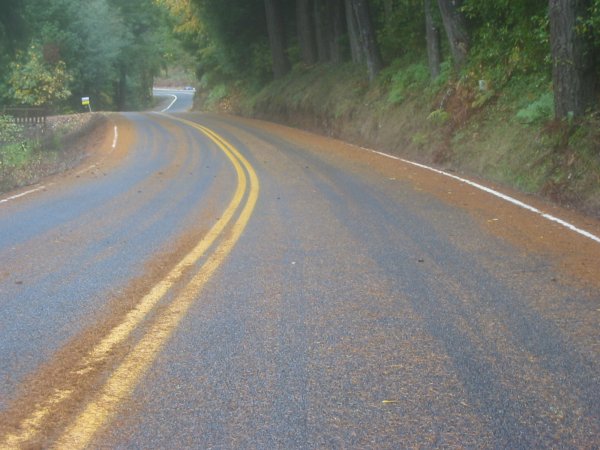
More of the red line of slippery pine needles (except here most of the road is covered)
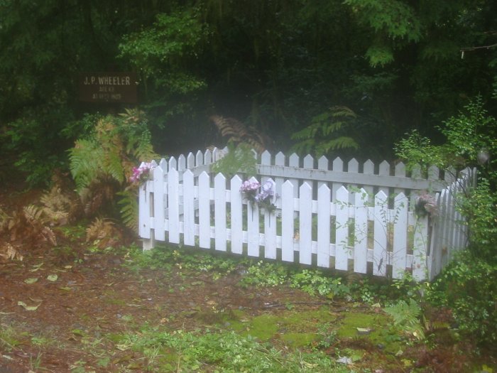
Roadside grave - J.P. Wheeler
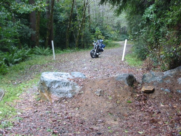
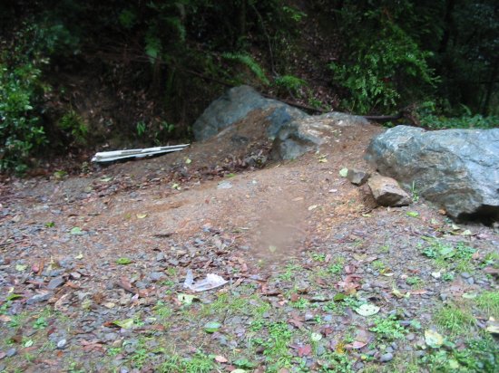
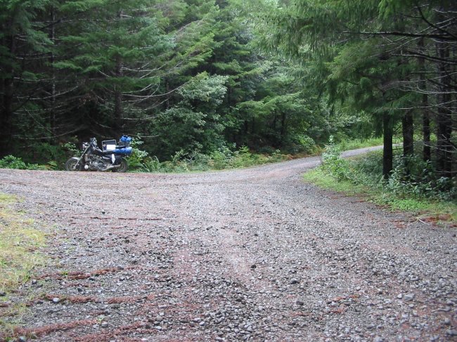
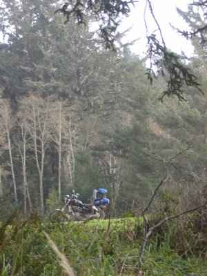
The road closed washout. Let the adventure begin!
Mud ramp
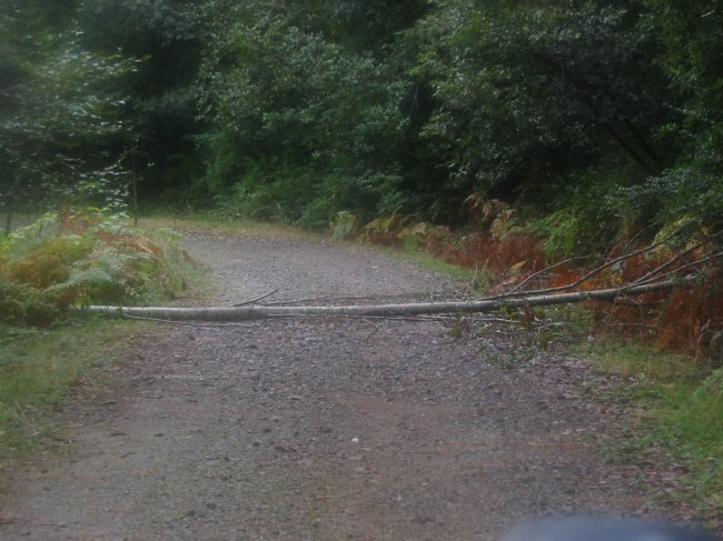
After the closure there was an occasional fallen tree to bump over
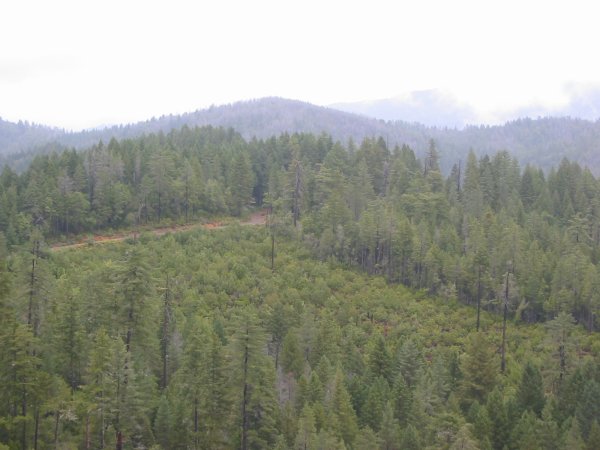
Open space and trees
No houses, power lines, signs, stop lights.
Nature and the sound of a slight breeze passing through the trees.
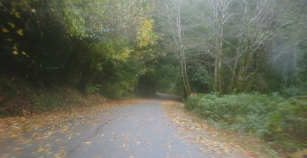
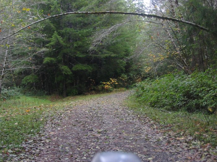
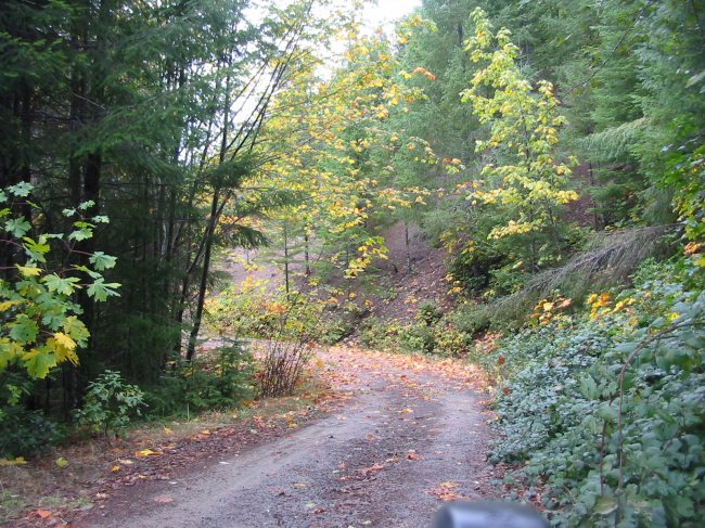
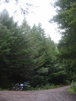
The road - a bit farther - one more turn.
From where I came...
Decision time - break out the laptop.
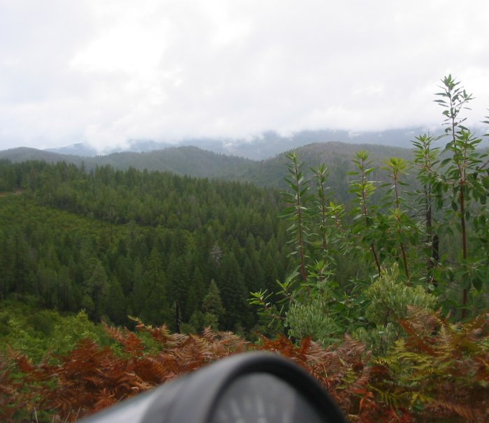
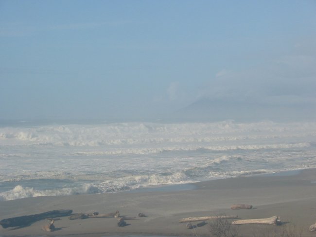
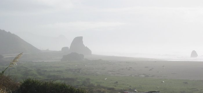
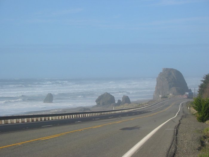
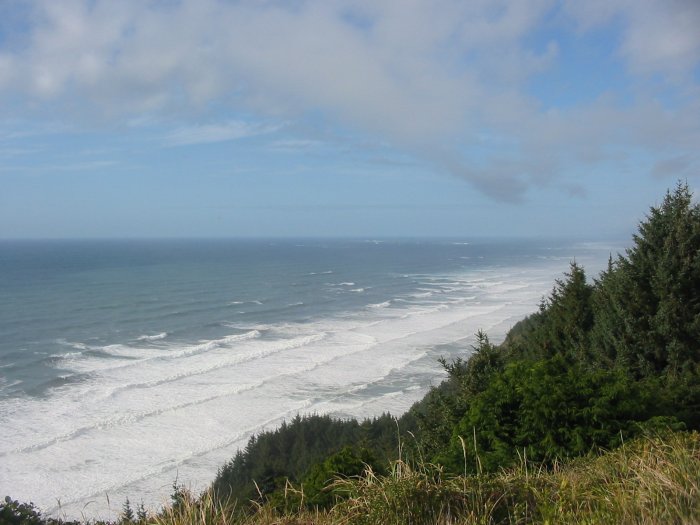
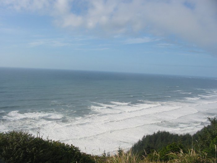
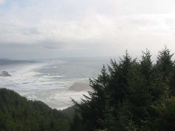
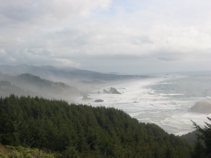
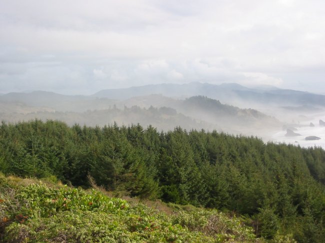
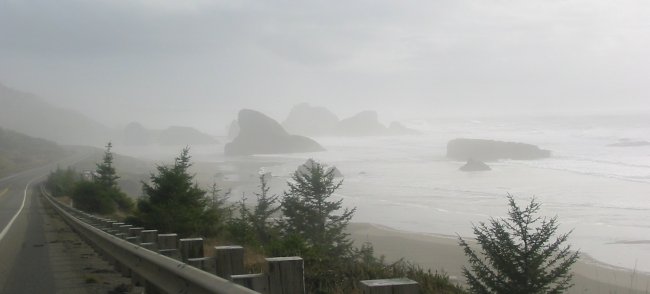
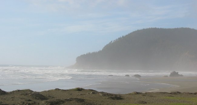
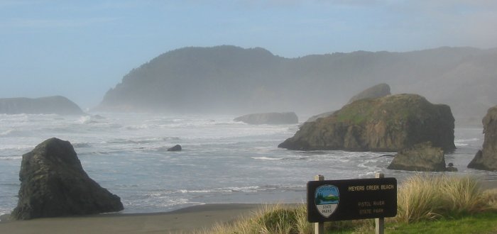
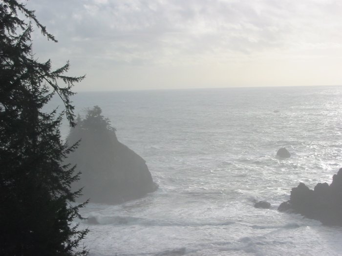
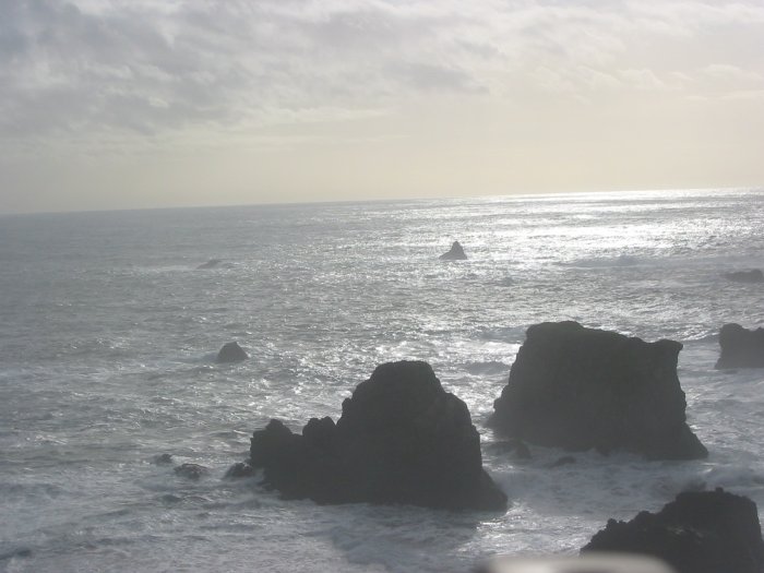
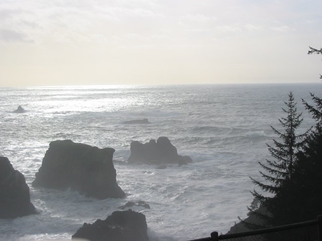
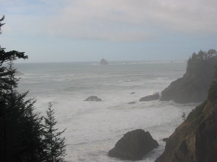
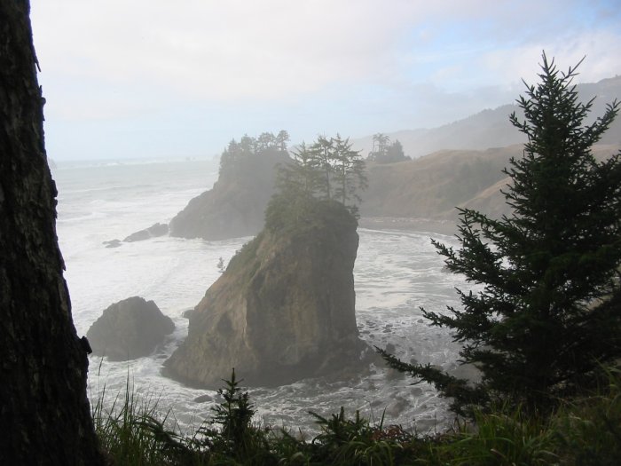
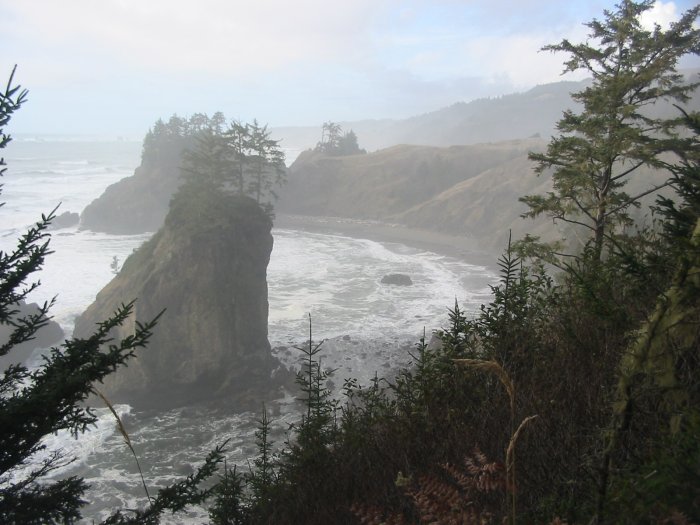
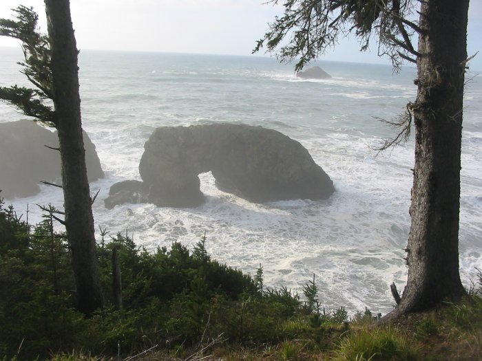
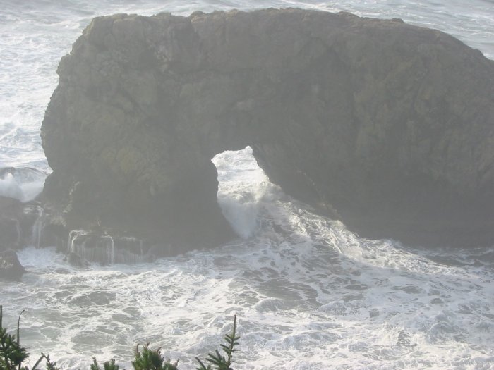
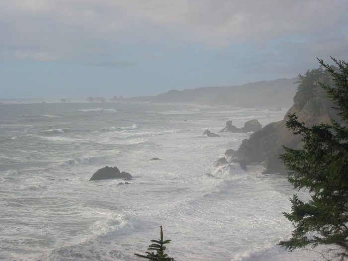
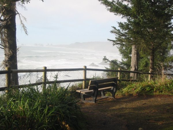
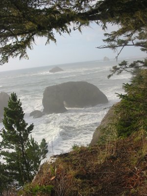
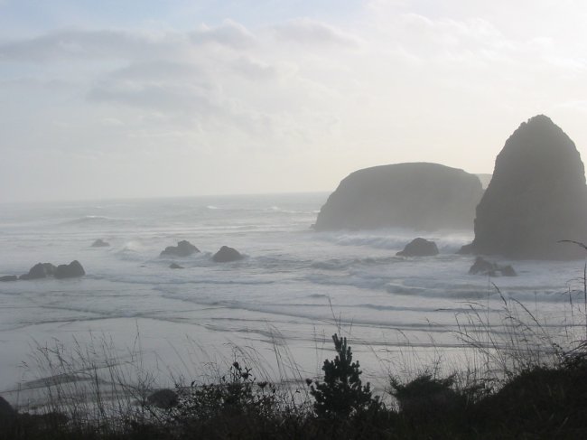
Out on the coast - Southwest Oregon.
(more white pictures due to condensation)
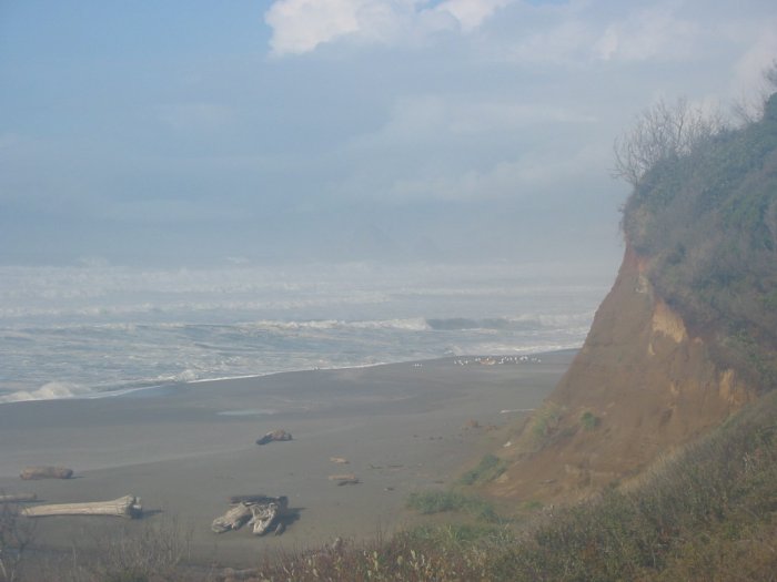
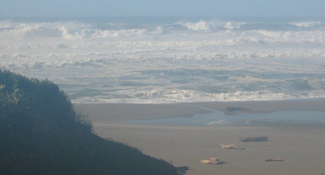
I'd wipe the UV filter from condensation often - so a few are clearer...
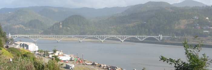
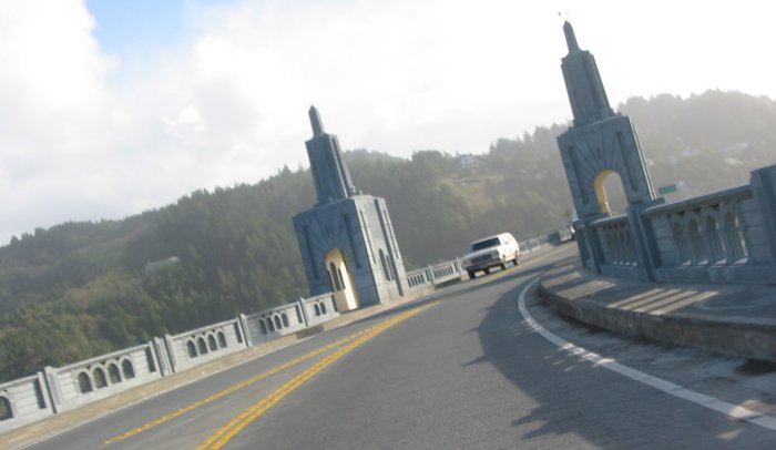
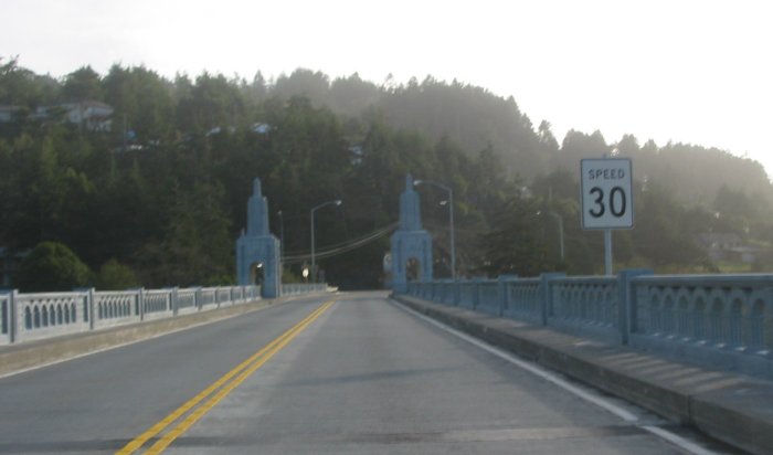
Bridges, bridges, bridges...
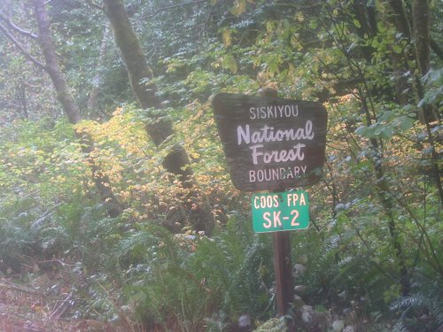
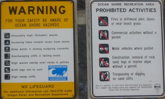
Signs from the turn off spot (pictured above)
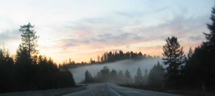
Sunset on 101 - scoot'n south to Eureka.