Roseburg, OR To Crescent City, CA
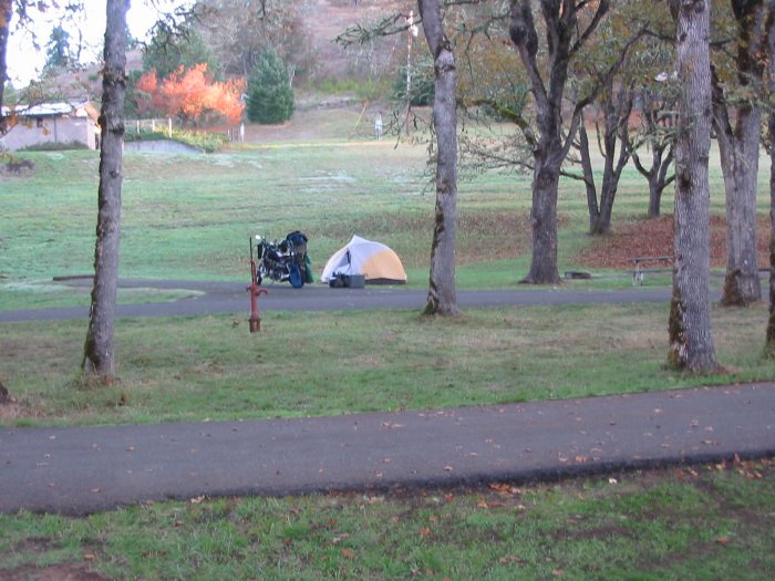
| Wow - what a cold morning - most of the droplets of water
on the tent were ice. No wonder my feet were cold last night. Fitful
sleep. Aside from that - the sky was blue and by 9:15 I was headed east
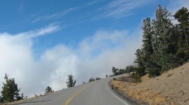
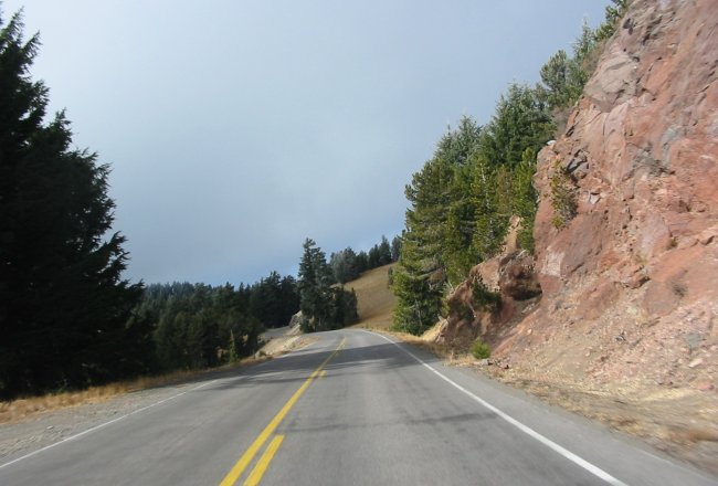
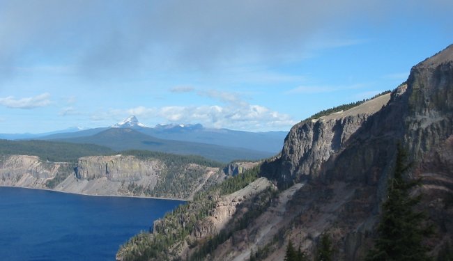
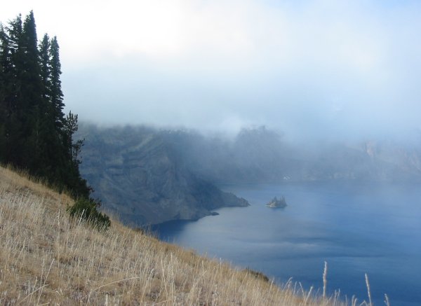
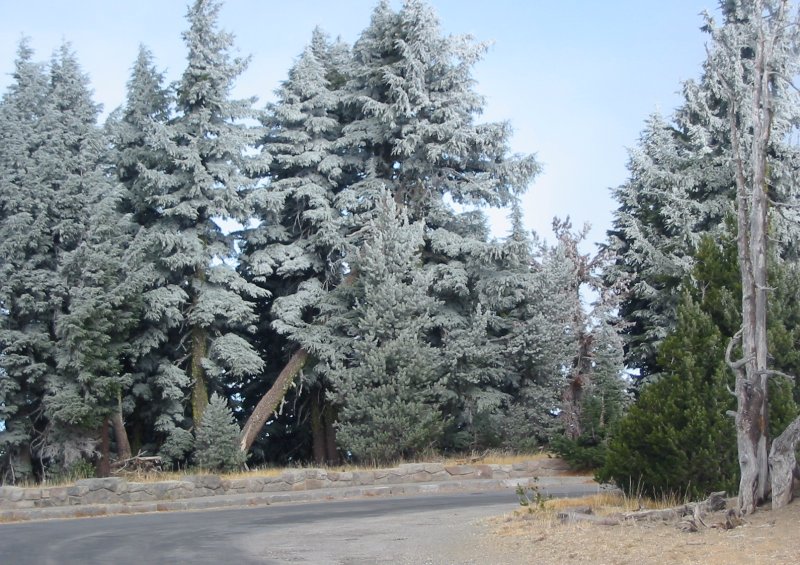
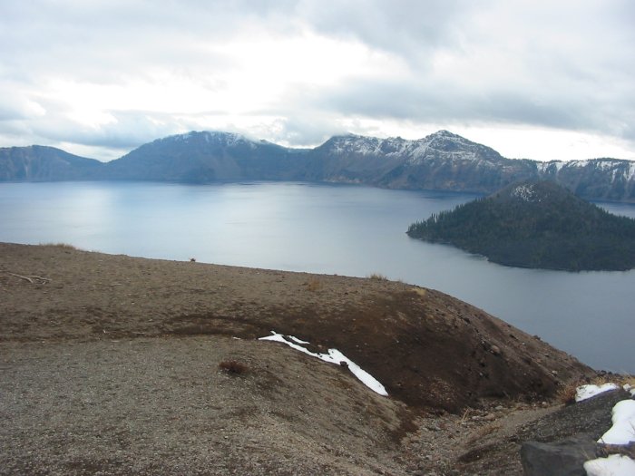
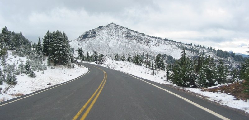
to the big crater. State Route 138 was the ribbon to get me there. Void of most traffic, mostly dry, deep in a valley - it was twisty - a nice ride. Crater Lake is up there in elevation - 6500 to 7200 ft. This made the temps drop. While I was warm enough I ended up traveling with snow about. The north side of the lake I was in sun but the south side was starting to cloud over. The clouds were rolling over the rim and whisping down towards the water. With the low temps the trees were nicely frosted. I traveled completely around the lake - clockwise fashion - coming in at the top left. Circling around making frequent stops the camera captured perhaps redundant pictures. After ending at the start I turned back a few miles and stopped at the visitor center - bottom left of the lake. A snack and a few minutes of the presentation I was thinking about getting back at it. The lady at the visitors desk asked if I would like to see a short video on snow removal operations - sure thing! Cool - no pun intended. I noticed on the drive that there are a few road edges that take dramatic drops. Fortunately there are no guard rails but the drops still exist. Well the snow clearing crews have to deal with up to 30' snow depths. They use "snow sticks" and a copper marker buried in the roadway to locate the road. Two bulldozers either push the snow out, to a lower depth, to a waiting snow blower or over one of the close edges - without going over themselves. They set that a 1/4 mile of road is "good headway." If the snow was at a uniform 30' depth the daily clearing would be just under 1.2 million cubic feet of snow. From there I headed out for fuel - a general route chosen. When fueling up - the bike and myself - I decided on a detailed route. Alternatives, alternatives. In the end I chose the standard two lane out to the coast. |
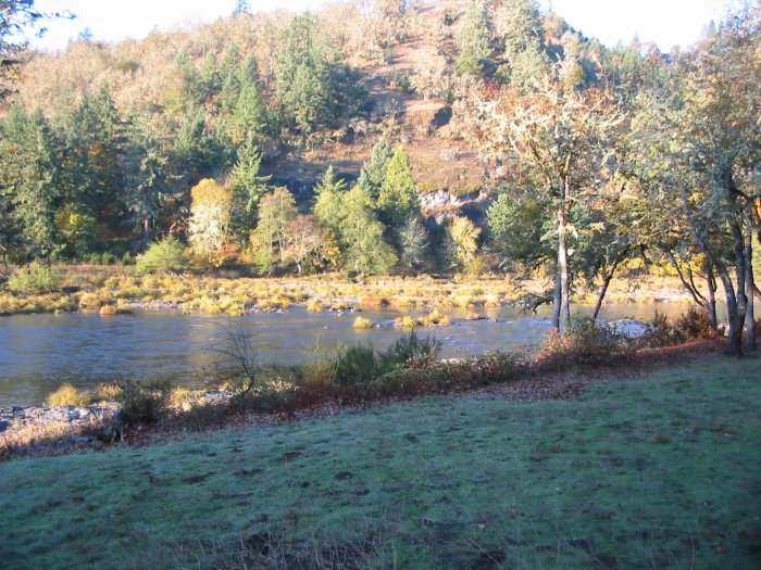
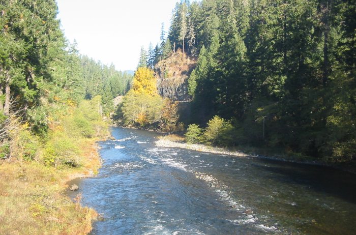
View from the tent
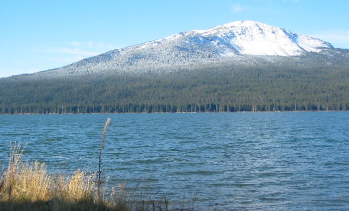
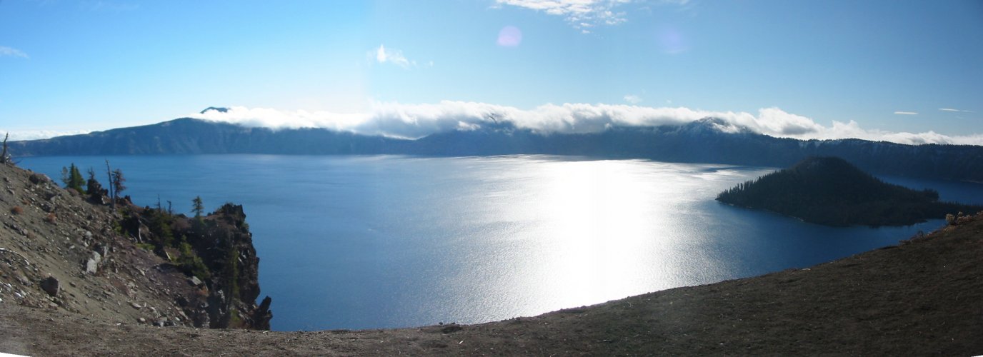
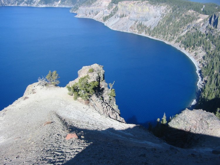
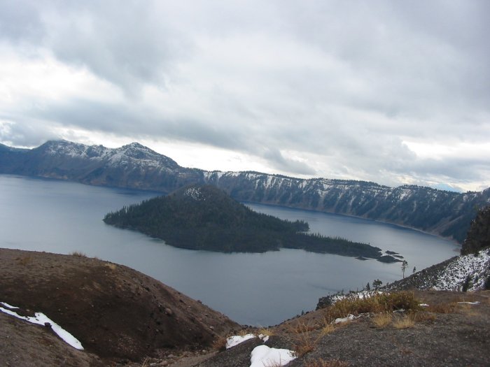
Crater lake - I'm getting very close
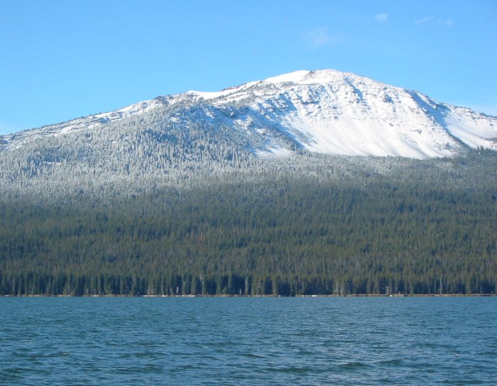
At the ridge - looking outward.
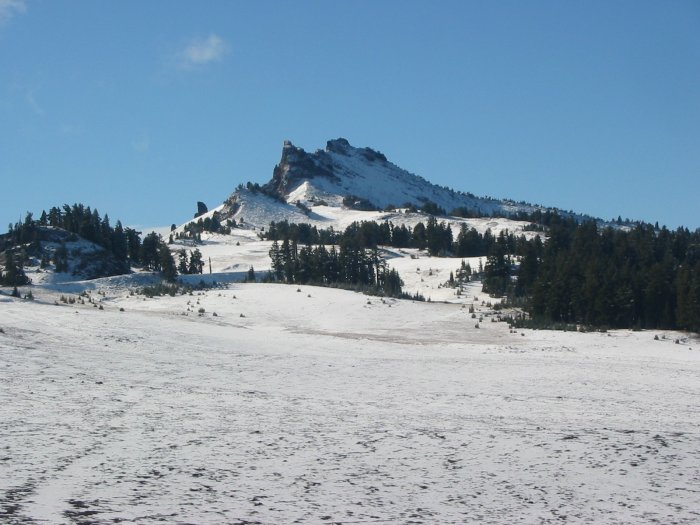
Here it is!
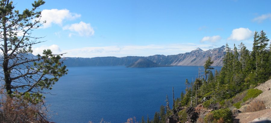
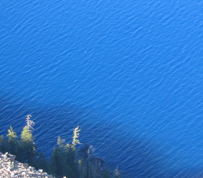
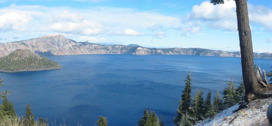
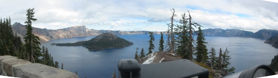
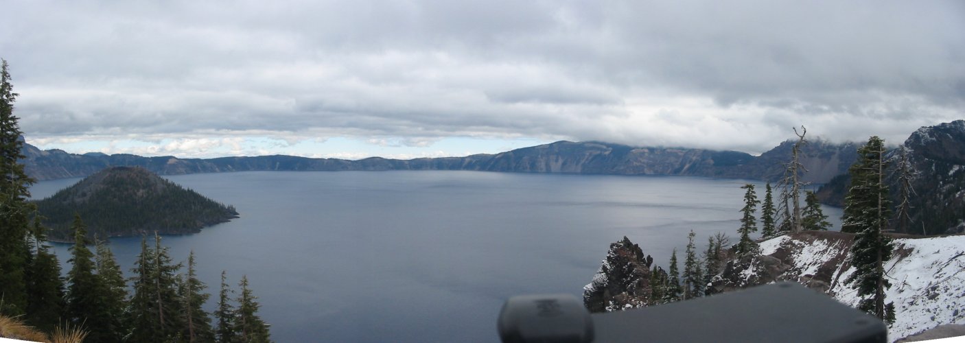
I drove all the way around - clockwise. The next several pictures show the same lake - but from a different vista point.
Click for a larger size

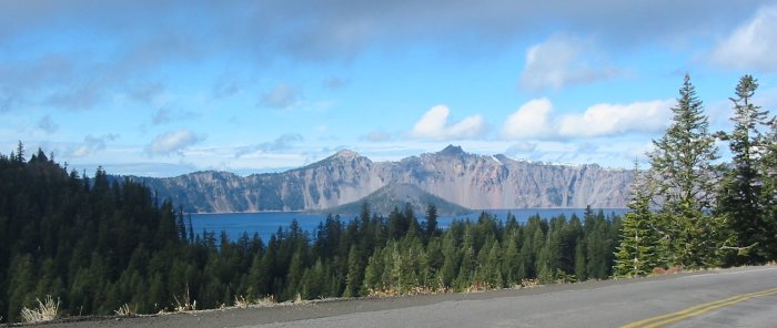
The first parking lot - northwest corner of the crater. Only one other vehicle - nice.
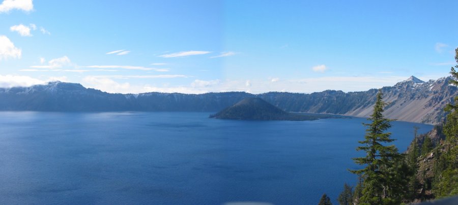
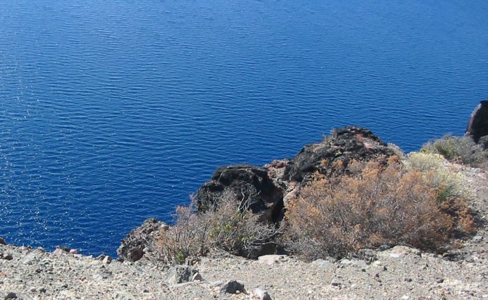
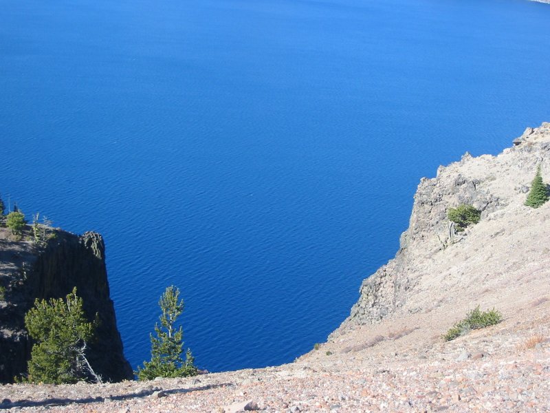
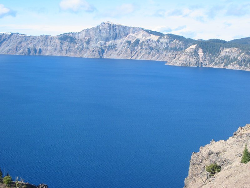
A nice blue
Click for a larger size
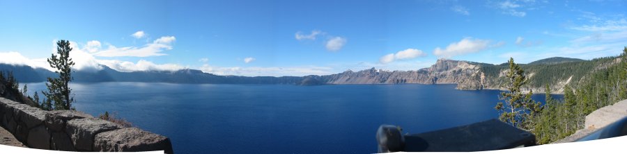
Full circle view
Click for a larger size

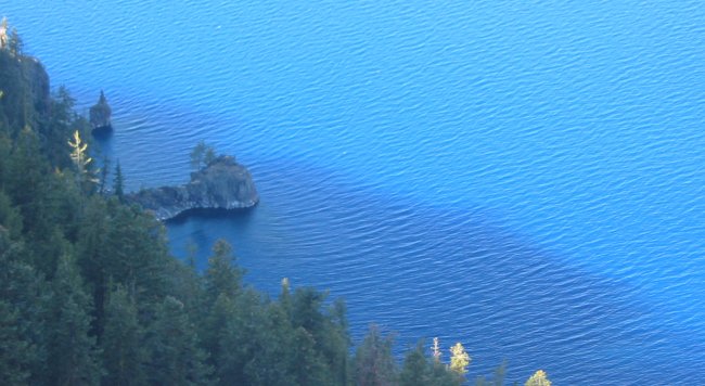
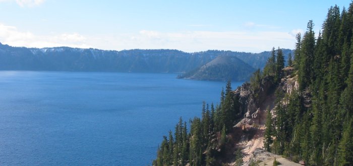
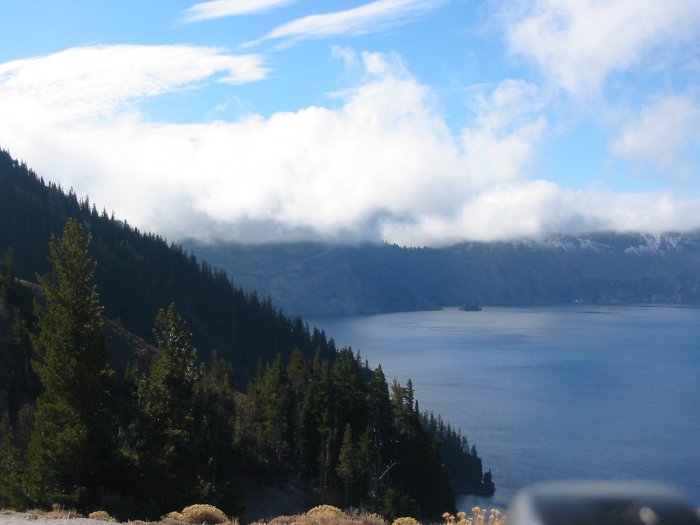
Turning the corner at the southeast corner - to the sound side - clouds start to be visiible - moving left to right (northerly)
Cloud whisps scooting over my head - and rolling down after they pass over the lake
Wonderfully frosted trees!!!
Click for a larger size

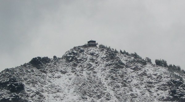
The "white" road cut is the main road. The small white line - angling up - is the trail to the structure at the top of the hill.
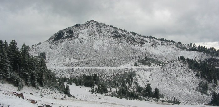
Click for a larger size

Click for a larger size
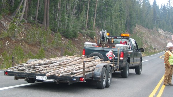
So we're waiting - perhaps 15 or 20 minutes - for access into the "construcion zone" and the winter "snow marker" guys drive by - and then back up. A guy in the first vehicle (talking with the road stop-go guy at the right of the picture) starts to talk with a guy in the snow marker truck. Folks get out and before too long a big bag of potatoes goes from the waiting pickup to the snow marker pickup. Ten bucks goes the other way.