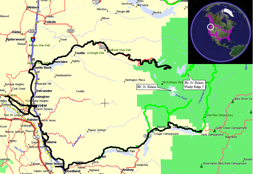
Cougar, WA To Kelso, WA
| This morning would be a test of my "No Interstate" desire.
I am trying to complete this journey without riding on any U.S.
Interstate. They're great for processing miles but are more bland in
regards to local color. Checking the map shows the section from
Woodland to Kalama would be side roads. US Hwy 99 was the "original"
road through the area but I-5 physically replaced it in some sections.
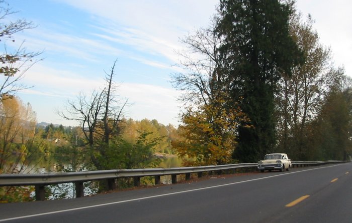
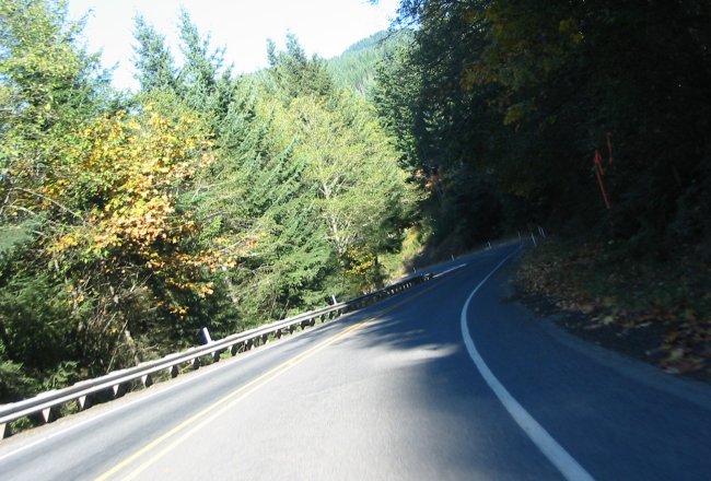
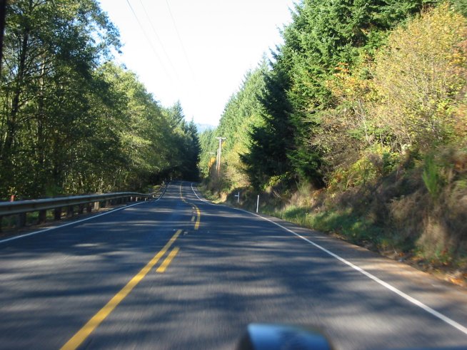
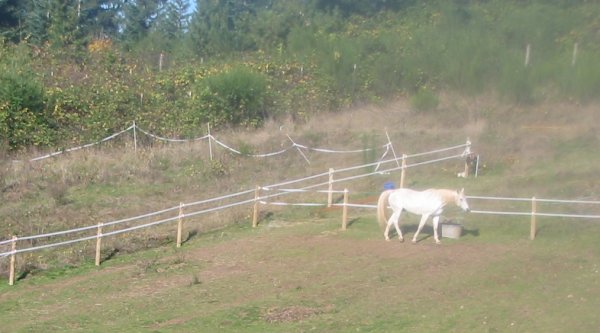
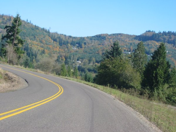
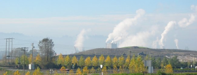
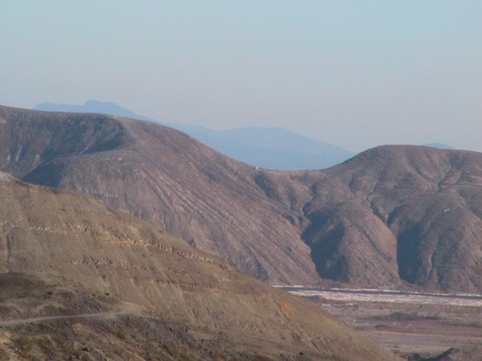
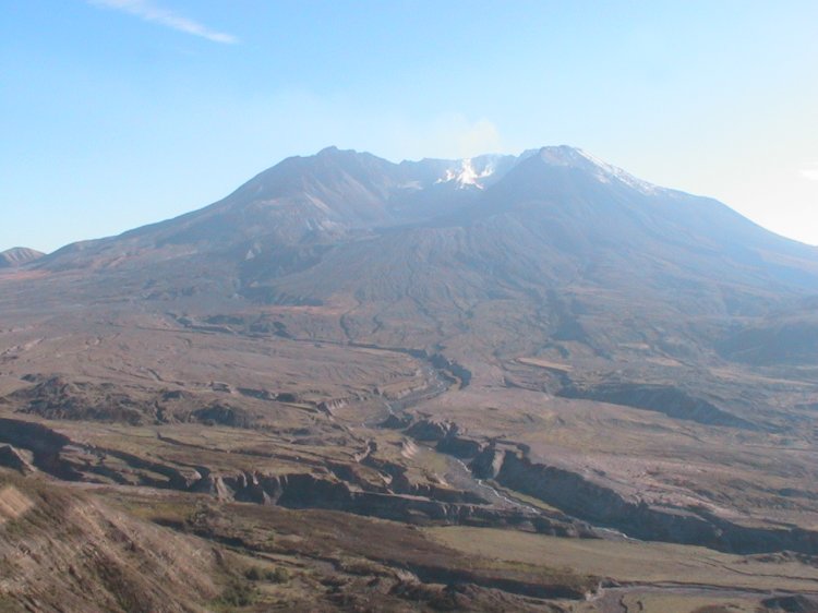
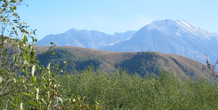
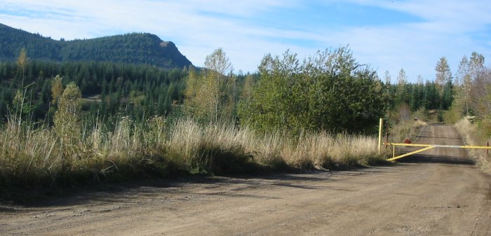
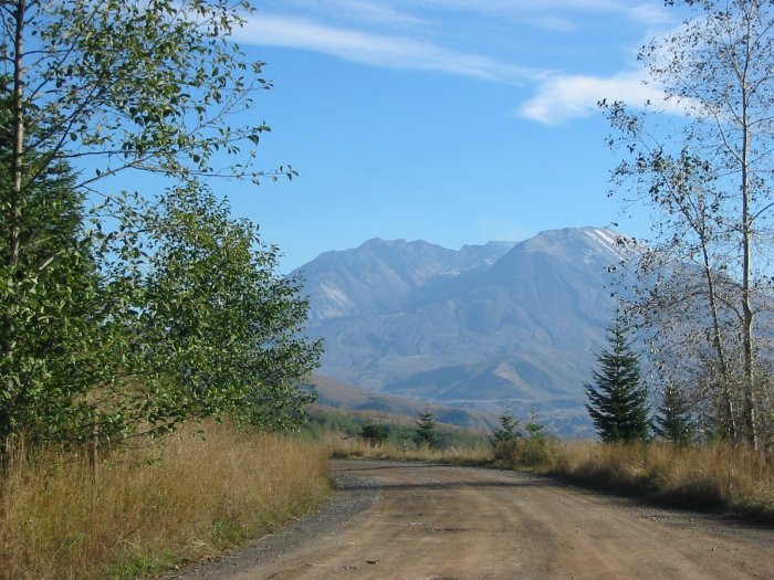
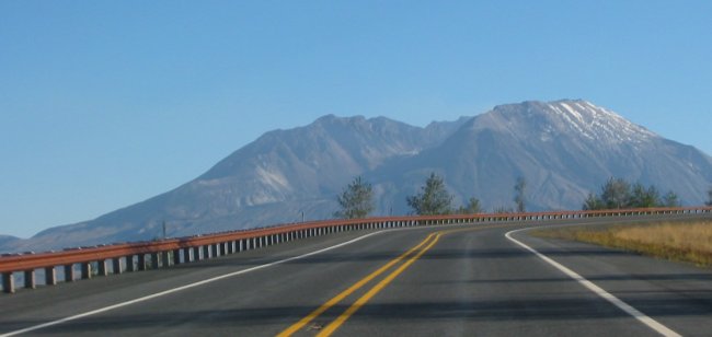
The area is a bit tight with water to the west and hills to the east. Swift Reservoir to Woodland was an easy shot. It is also a nice road - trees and curves but it also has some traffic. Heading north of Woodland I missed my first waypoint and ended up out on Dike Access Road. Remembering, from the maps, that this was a dead end for me I turned back and saw my missed waypoing on the GPS. Here the road, Green Mountain Road, went up into the hills and wound about through the houses before dropping back down to the old Hwy 99. From here it was an easy "follow the most used road" to make my way to Kalama. At Kalama I fueled up and headed north - but only to be turned back by a closed road - bridge work (strip & repaint). Drat. I headed back to Kalama and grabbed a burger at a nice burger joint that had some bikes out front. The folks on the bikes were heading up to Mt. St. Helens - the same destination I had. I said that I'd wave when we passed - them coming down and me heading up. Looking at the GPS I found a route that would get me around the bridge - back up into the hills I go following the "most used" road for a few miles. It was here that I took a picture that, perhaps, sets home why taking the lesser used road is nice - the white horse in the pasture. For one, it is a decent scene and two - I could turn around to take the picture - something not readily tasked when on the one - way Interstate. Additionally, when on a bike, you can often park on the "wrong" side of the road for a better picture and other drives don't mind the unusual change. Back up towards Longview I missed another waypoint (atually saw it but didn't realize it was for later in the days journey) and ended up seeing a decent amount of Longview. The first journey through I went down main street - with all of the stops. The return trip, to get back on track, I took the industrial loop - much faster but being industrial I was treated to all sorts of HEAVY duty electrical consumption plants. Major power. Substations for each industrial complex. I didn't mention that a nuke plant was just down the road south of Longview as well. Directions understood and the correct turns taken I was again headed North - this time on the west side of I-5. State Route 504 the next ribbon to take me to the main Mt. St. Helens visitor endpoint. Not until near the end of this route did I notice my GPS track NOT following the mapped representation of the road. Some difference exists on many of the roads - moreso up in Canada - but it's not much of an issue. Likewise this wasn't an issue but I realized that the road I was on was NOT the one listed on the map - there were two of them - old and new. This 'new' one was probably built after the eruption. The ride up was decent - again another good day. The views from the top were similar to the Windy Ridge viewpoint. In fact the Windy Ridge viewpoint was just visible - perhaps 4 miles away. The view to the lava field in the crater was a bit better from this vantage. Heading down I noticed an intersection where the original road separated from the current road. Why not! Gravel, and a bit bumpy (washboard) at that, not sure I want to take this all of the way back. Around another corner my mind was made up for me with a gate across the road. A turnabout back to the current road - done deal. The old road was often visible up in the hills due to the tree cut line. From here the jaunt back to Longview - where I would head west - was an easy one. As I neared I decided to call it a night. A bit of dinner and some website work bedtime came all too quick. |
Video
Mt. St. Helens from the main visitor's center (Johnson Ridge Observatory)
2005-10-22.mpg
MPG, 16.4 MB, 2 min 4 sec
(yes, I know about the typo)
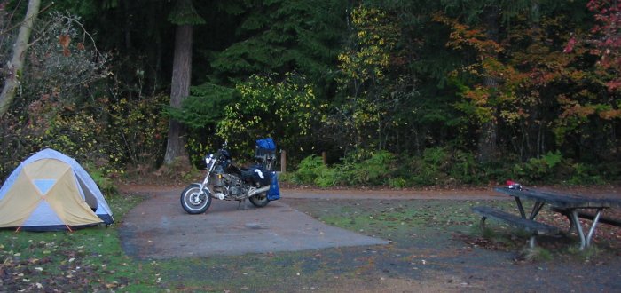
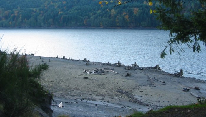
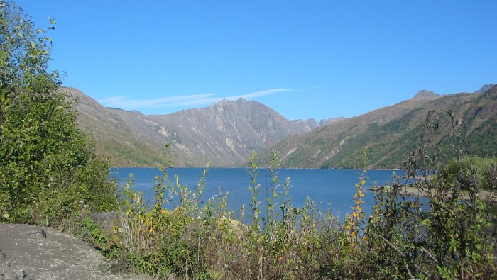
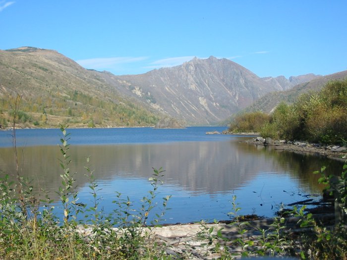
View from the campsite - reservoir with end of season lowered water levels.
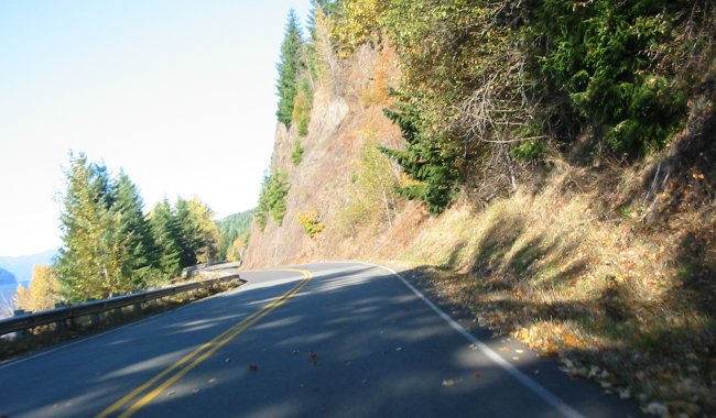
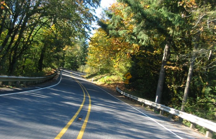
The roads less traveled aren't always forgotten national forest roads.
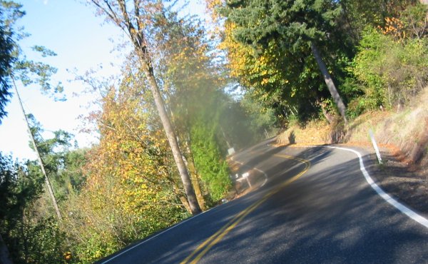
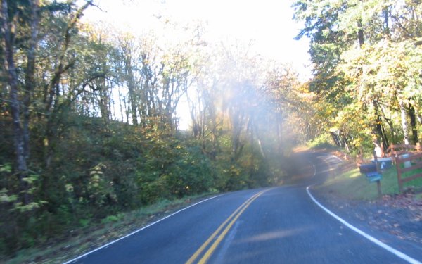
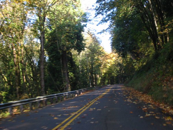
The desire to stay off of the Interstates routed me through some nice areas today.
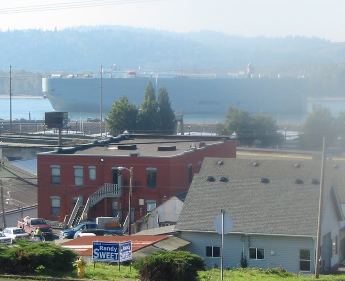
A hulk of a ship sliding by.
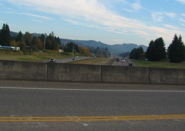
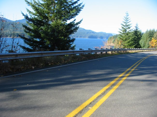
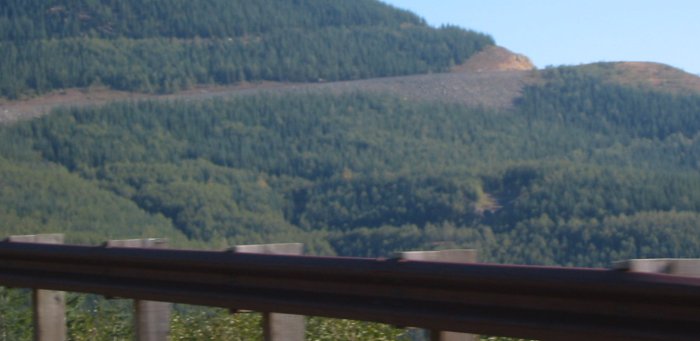
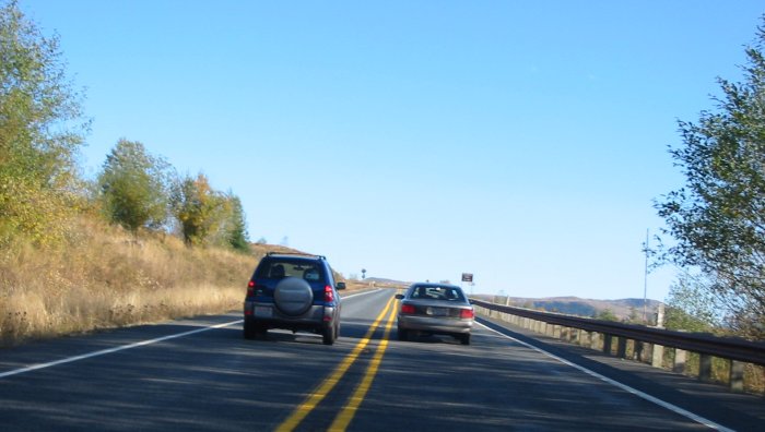
Riding in the hills instead of the Interstate.
Industry at Longview, WA
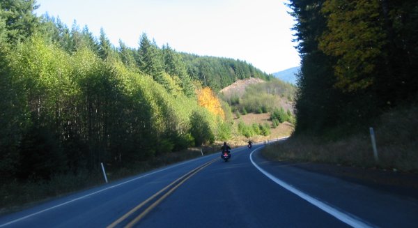
A couple cruisers enjoying the views
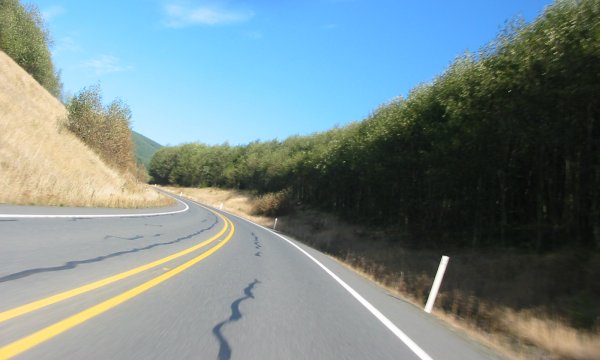
Road cut.
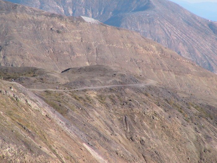
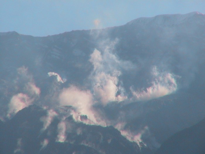
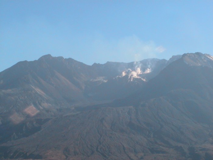
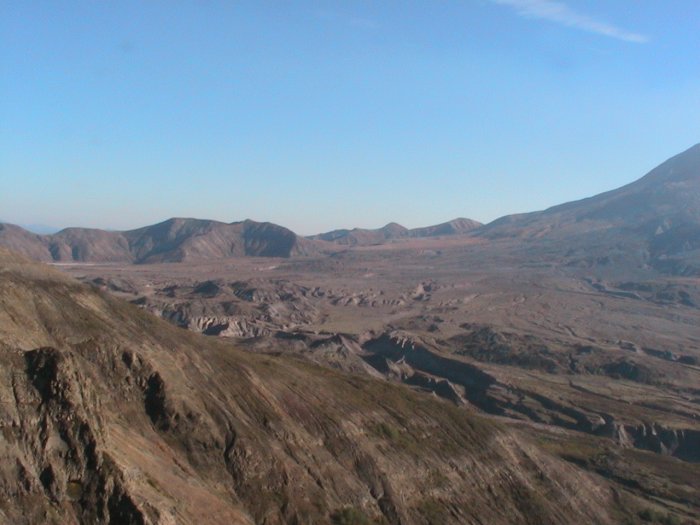
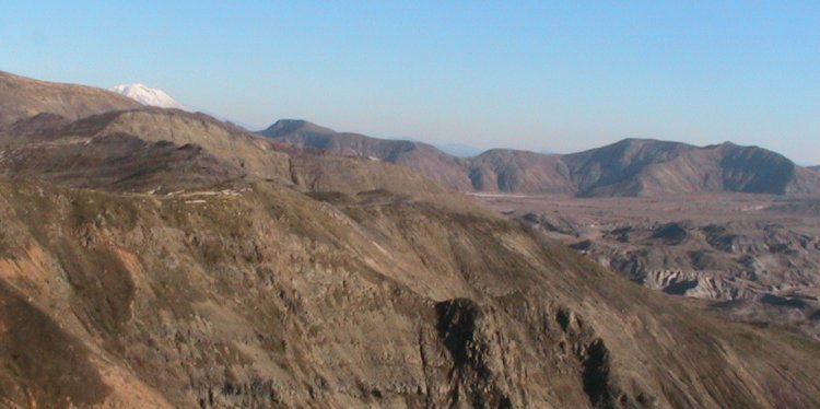
Views from the Johnson Ridge Observatory
Walking trail visible. Windy Ridge building just visible in the top right corner.
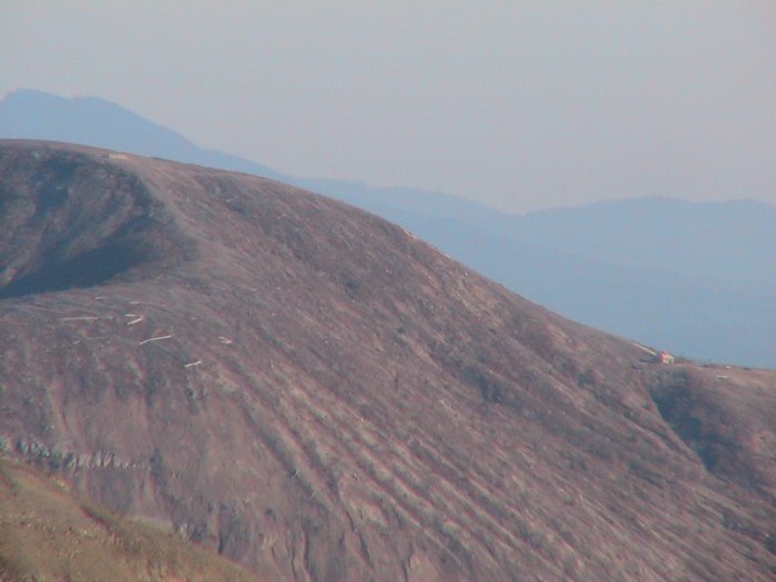
Windy Ridge viewpoint in the saddle, The stairs, from yesterday, head up to the left with a speck of the wooden deck just barely visible.
This is a bit closer.
I wonder how hot the surface is?
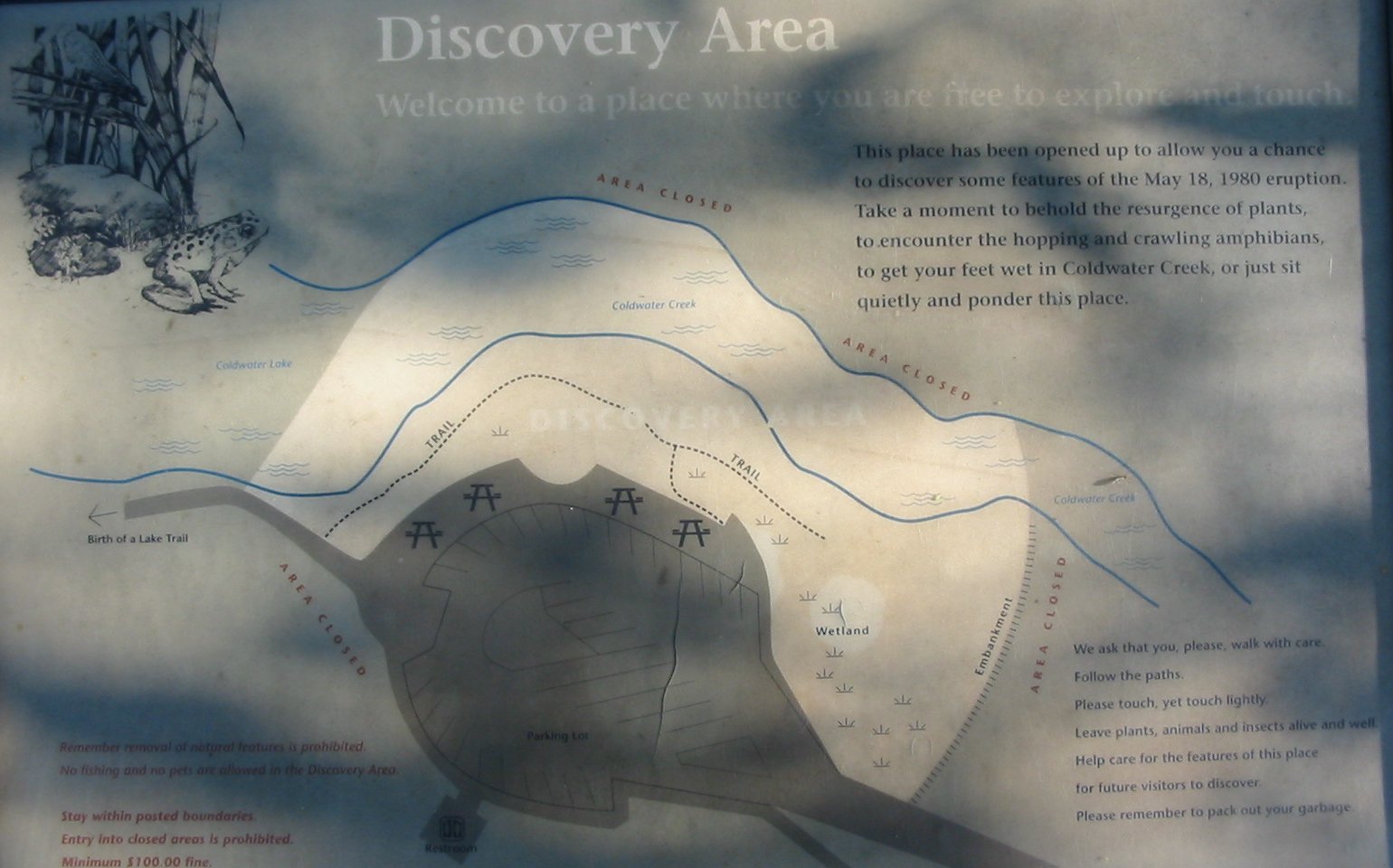
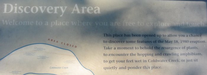
Walking into the Clearwater Lake area I spot the first sign - the top two lines: Discovery Area - a place where you are free to explore and touch. COOL. So many places are look but don't touch.
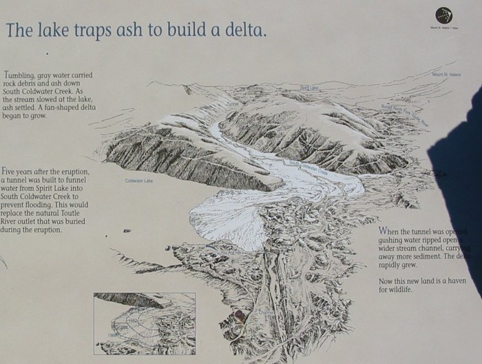
(click for the full info sign)
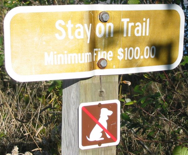
But not more than five steps later a sign quashes the thoughts - do anything off trail and you'll get fined. Sheesh.
Hmmm - Perhaps the vehicle on the left is on to something....
Where the original road deviated off into the hills.
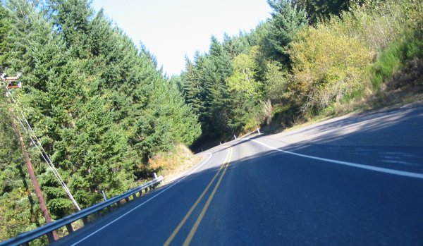
Interstate averted...