Elma, WA To Randle, WA
| Heading out the road followed a little used rail line - no
trains spotted. Once I crossed I-5 the local road closure teamed with
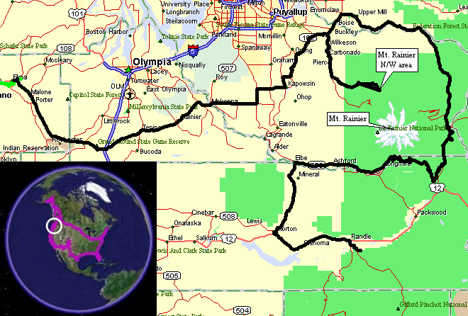
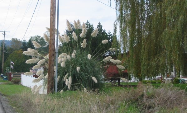
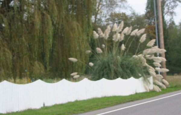
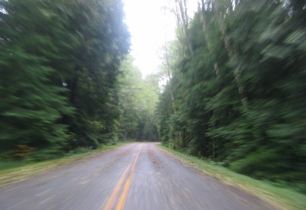
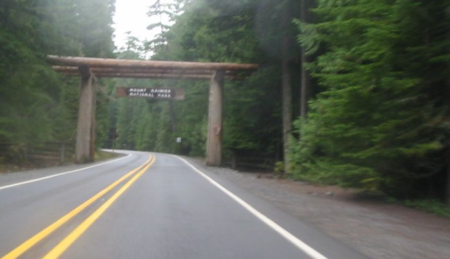
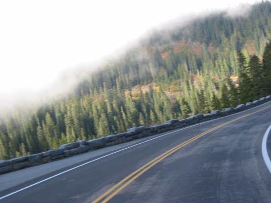
DeLorme's "optimistic" road lead for some re-routing. The road I _wanted_ to take over to the northwest section of Mt. Rainier had a detour - fine, no problem, I'll take the detour. I simply wanted to head east and make my way. The detour routed me north then east and I assumed it would route me back south to the road I was on - no dice. I routed north and east but the south leg that would have taken me back to my desired road was also "closed - no detour". Time to pop out the laptop, look for alternatives, and update the route on the GPS. Looks like I'll have to spit north more before getting to my destination. One route configured with a mental note that if it doesn't work I'll just head north a bit more. It worked out as such - the second route, nicely had a sign for the road I wanted (always nice to have the road called out before you come to it) but once I turned onto it not more than one block down it was "road closed" - route #3 coming into play. Fortunately none of these re-routes took much in the area of time or miles - so aside from the juggle it wasn't of much issue - perhaps 30 to 45 minutes extra including the time spent with the laptop out. On route #3 I came across the huge 'bush thing.' Stopping to take a few pictures - anyone know what it is? I'll update the picture with the correct name. Finally coming into Mt. Rainier, Jim at the ranger station traded my paper National Parks Pass for a plastic one - nice to have something more durable for a year duration of use. The ride into this section of the park had many sections that were just like the Hoh Rain Forest - thick trees, moss almost everywhere, ferns coving the ground. Back out I continued east across the northern section of the park. Partial cloud cover, fog, and some tad bits of rain - with decent sections of sun were the order of the day. Some nice pictures but none of the big rock itself. Heading east across the southern section of the park I exited to 'commerical property land' and headed south to Mt. St. Helens. After a food and fuel stop in Morton I left there for a campground near Randle. The Randle campground was perhaps a paradox for campgrounds - the easy to find ones are often close to the road and thus have highway noise. The ones that don't have highway noise are tucked away from the road and can be difficult to find. This was a difficult to find campground. It was dusk and their signs were small - but I did find it. A nice treat - $6 for a "converted pasture / front lawn". The campground was in the large front lawn / pasture area of a house. The gravel road up the middle was the driveway. RV's with hookups on one side, tents on the other. Set in a valley. Overall a nice spot. Day done. |
Video
VIDEO NAME
2005-10-20.mpg
MPG, 17 MB, 2 min 9 sec
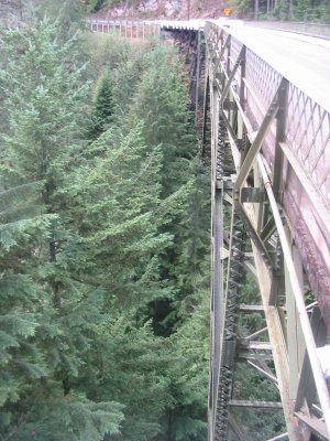
Riding alongside a Rails-to-Trails (old railroad bed) I came across this nice RR trestle. The free span on the left is for the 'old' rail bed.

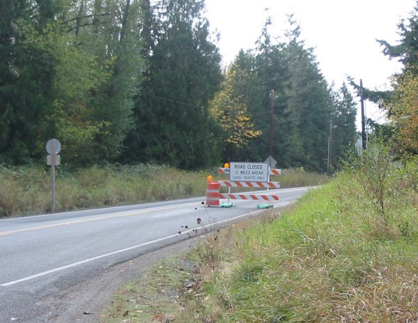
UGH - What a detour. I was heading East on a road that had a section closed for construction. OK, fine - follow the detour. I imainge it will route me around the construction and I'll be on my heading east. Nope. I route north on the detour and come to a Tee-intersection. I want to go straight (can't - no road straight) or at least right (to get back sout to the one I was on) - nope - Road closed sign. No "End of Detour" or "Detour this way" option. Pull the bike to the side of the road and pull out the laptop....
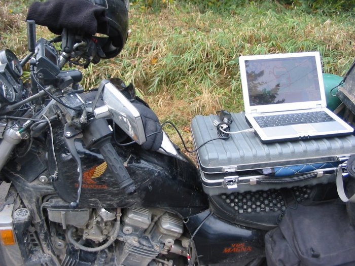
Finding an alternative - plugged into the GPS to update the route.
This picture was the first time seeing this type of plant. I've since seen many of them.
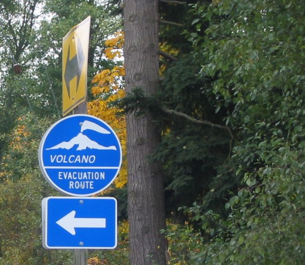
I've been in tsunami hazard areas - this is a new one - volcano hazard area.
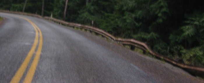
One well battered guard rail.
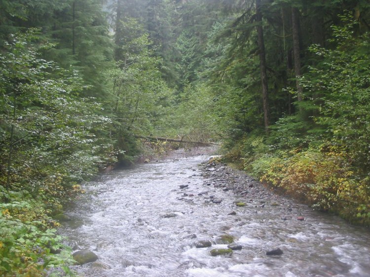
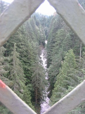
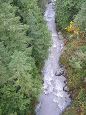
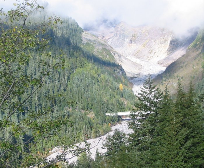
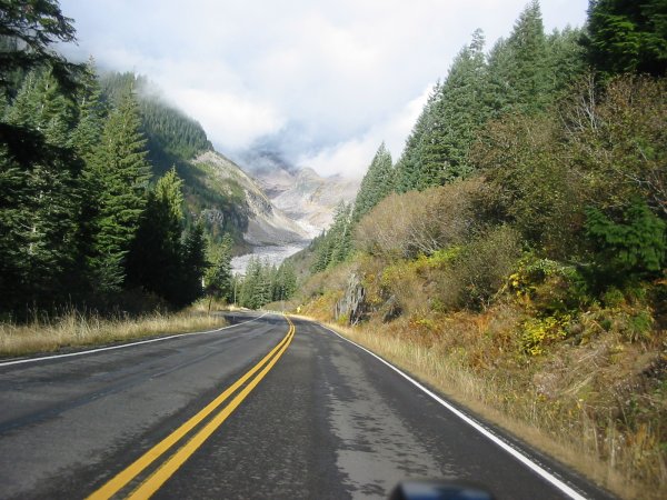
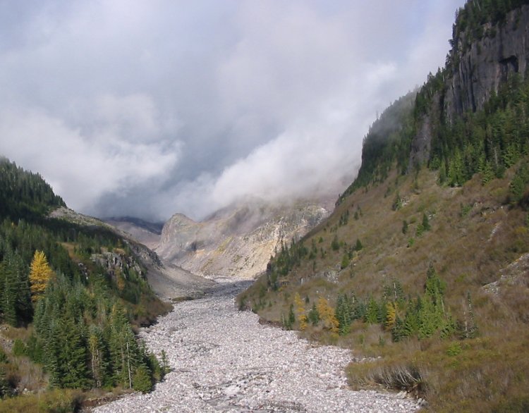
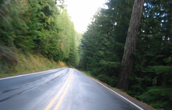
Narrowing in on the Carbon River - Northwest corner of the Mount Rainier National Park
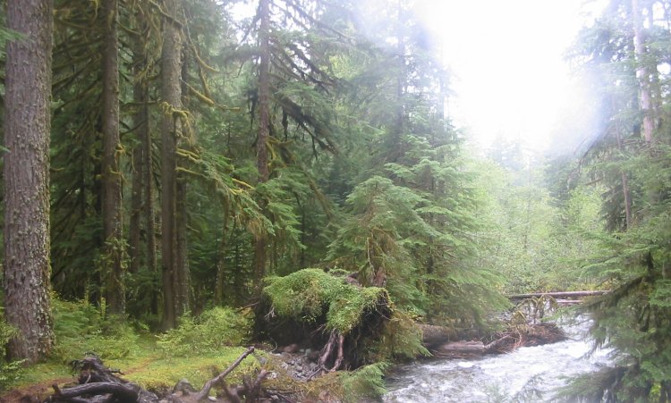
The place had many similarities to the Hoh Rain Forest
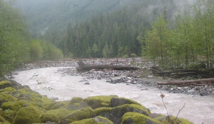
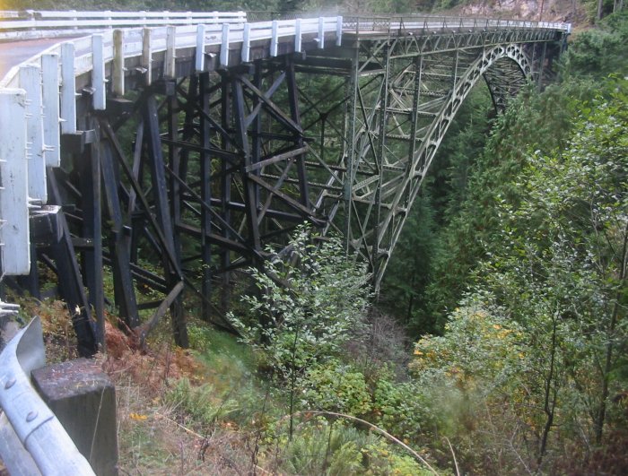
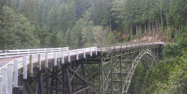
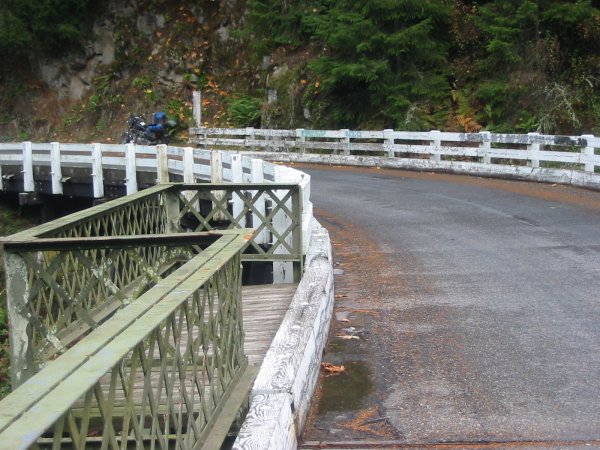
A nice S-shaped road / arch bridge combination. Old railroad below - along with the Carbon River.
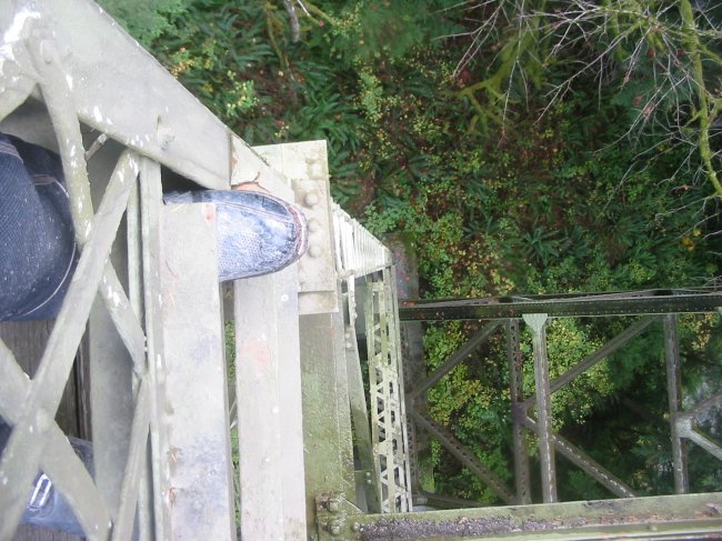
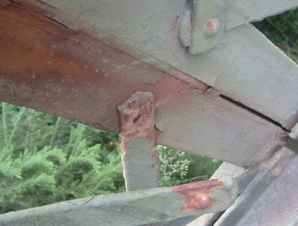
It's just one popped rivet...
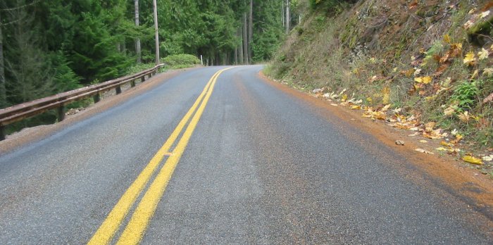
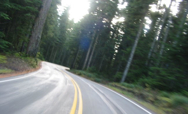
Note the "red lines" in the center of each lane - pine needles. Quite slippery.
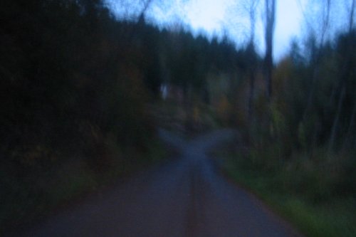
Instant adrenaline flush when you happen to move onto that slick middle track in midst of a curve
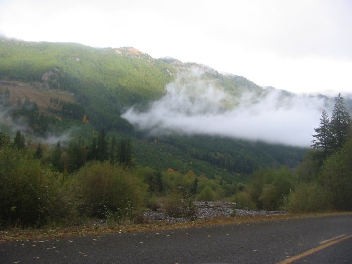
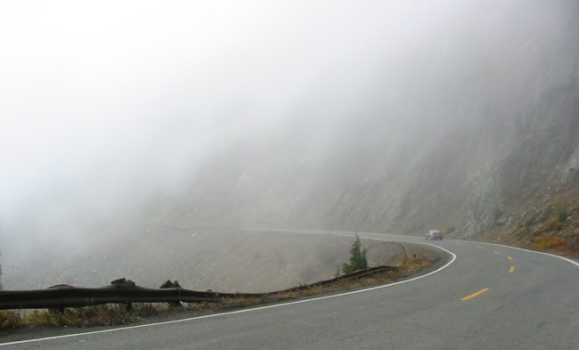
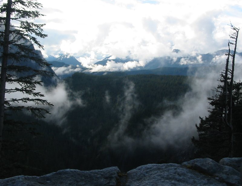
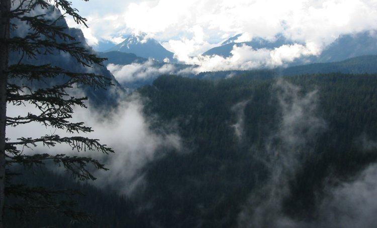
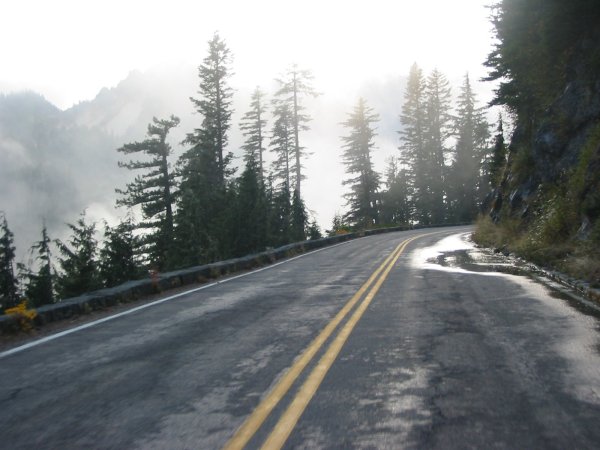
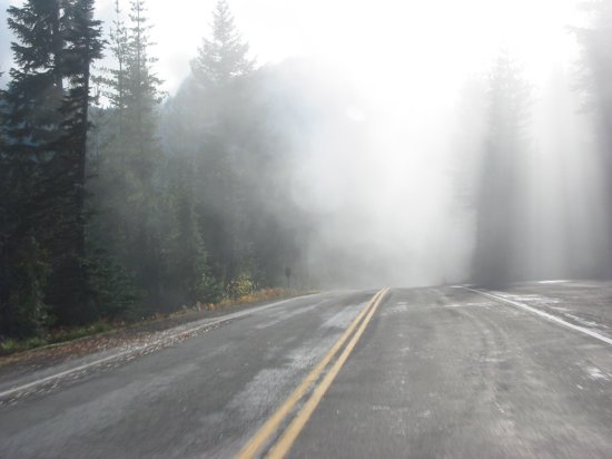
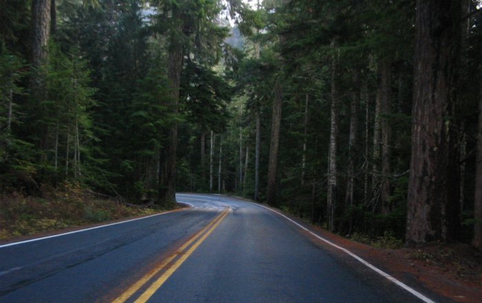
Back out of the Carbon River area and now heading down the East side of the park. In and out of fog.
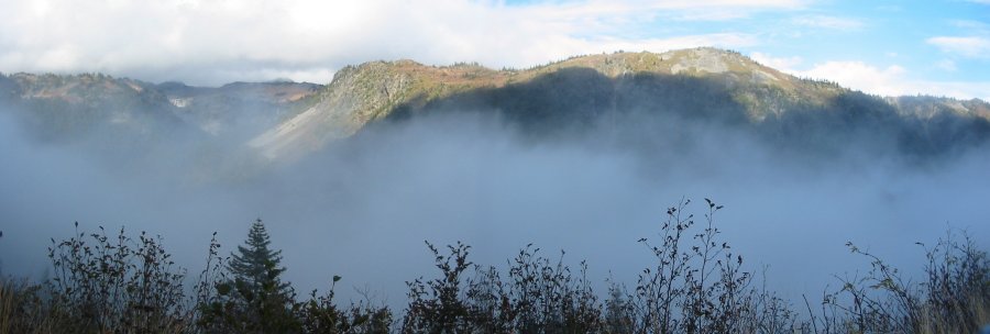
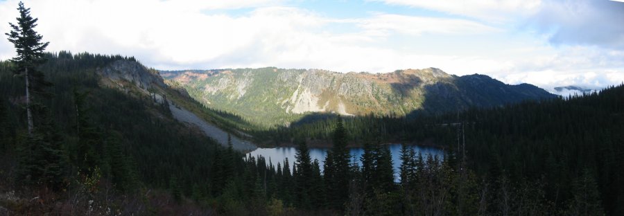
Louise Lake (I think)
(click for a larger image)
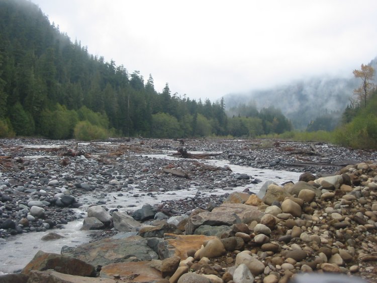
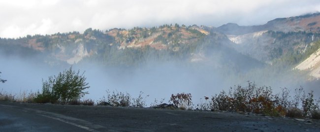
Either Paradise River or Nisqually Creek
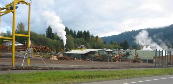
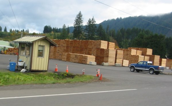
Dumping out at Morton WA - lumber processing
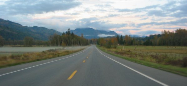
Mt. Rainier complete - head east to a campground near Randle.
The easy to find campgrounds are often noisy as they are likely near the road. The hard to find ones are away from the road and quiet.
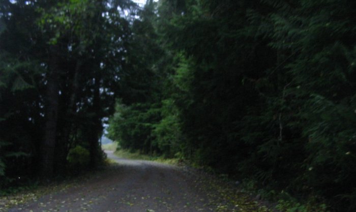
This was a hard to find one. Small dirt driveway - small signs - nice place to stay!