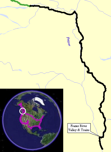
Fraser Lake, BC To Boston Bar, BC
| The morning started out with a good mix of blue sky and
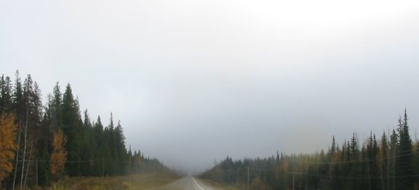
clumulus clouds but after a bit a low cloud cover / fog was the order
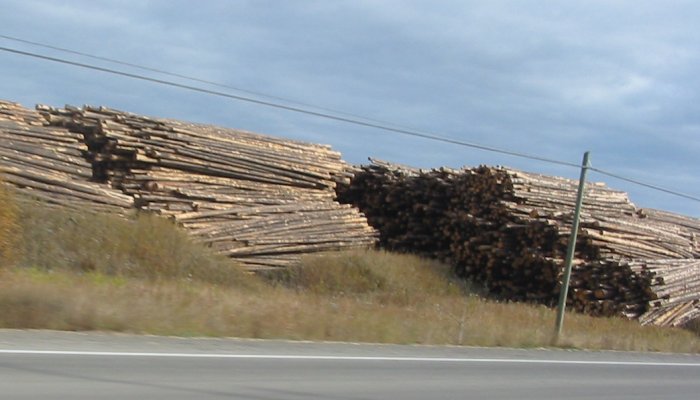
of the morning. As was listed yesterday were the notes for the fuel system. Bottom line is that with reserve I can get better than 300 miles while traveling with load a highway speeds. Something that I started to see yesterday - fenced fields with horses and cattle - I saw more of today. Even some fields with irrigation systems. From Frazier Lake through Prince George and beyond the ride put me into a "processing miles" mode. The road was filled with trucks - logging (full and empty in both directions), tandem trucks that I have no clue what they would carry (I took a picture of one), and fuel rigs. The scenery was a bit bland by comparison to the day before. The road was often lined with trees not allowing a "view out" but where you could see there were low but massive rolling hills. Timber processing plants were seen along the way too. Things changed about Cache Creek. From here the valley became more dramatic. The landscape changed from grasses and trees to scrub turf. The road brought forth views of the valley, the snow capped mountains, a mountain river (?? river), and trains - often on both sides of the valley - hugging the canyon walls even moreso than the roadway does. There's no chance I'll make the border before dark - now to find a spot close by and get some food and rest. Tomorrow I think I'll deviate and return up the valley for a different loop through the area. |
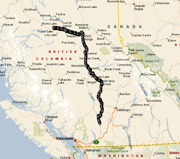
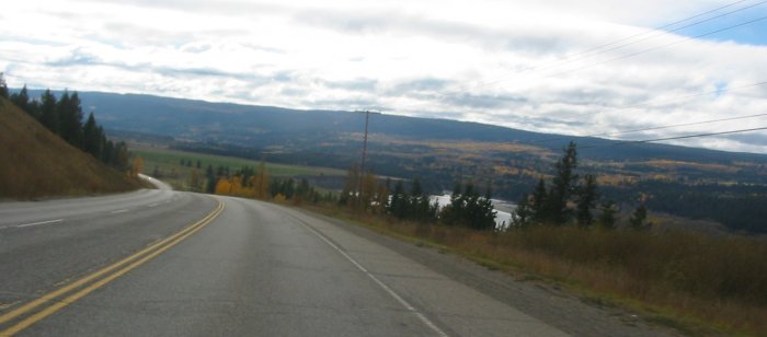
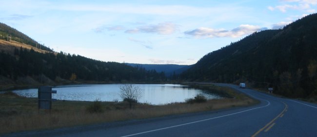
Waking up I wanted to head down to the lake to see what it was like.
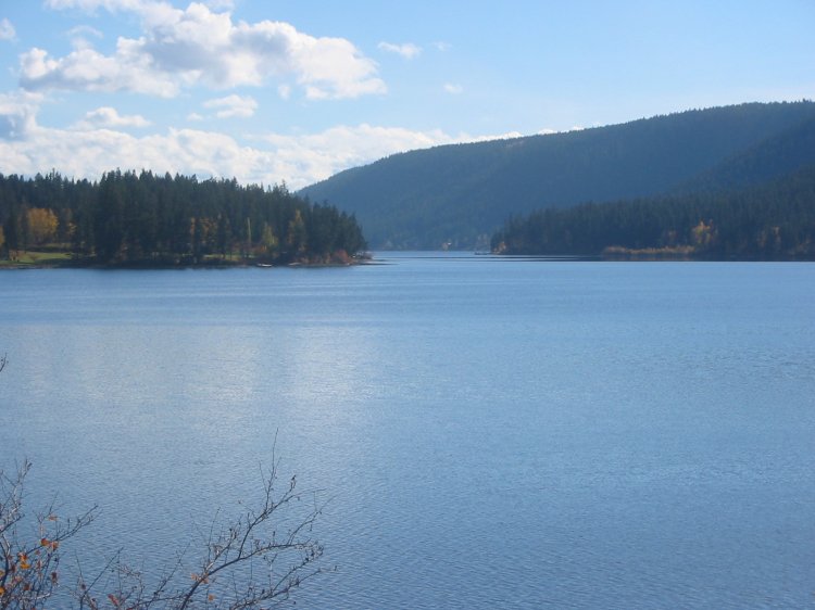
Railroad tracks along the long lake. I'm getting back down to where the trees are still golden.
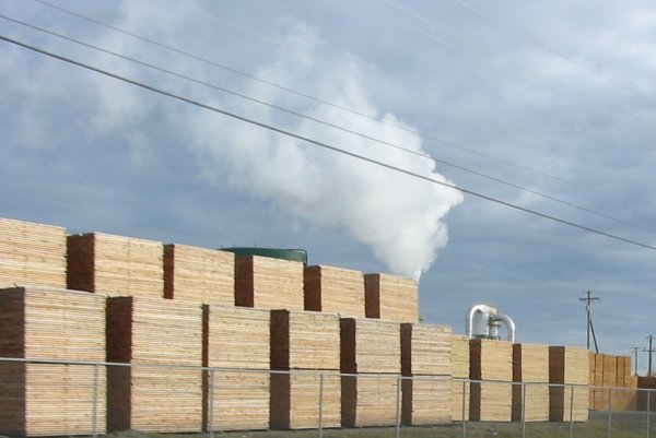
Trees go in...
Trees come out...
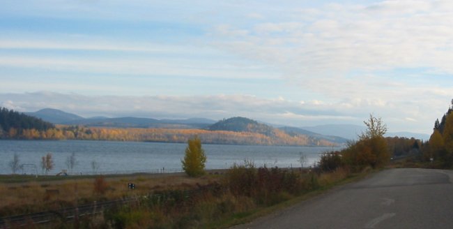
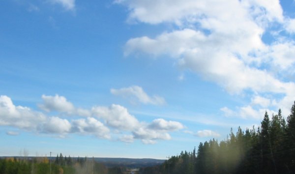
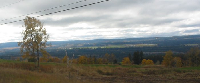
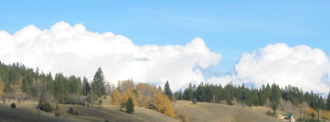
A nice start to the day!
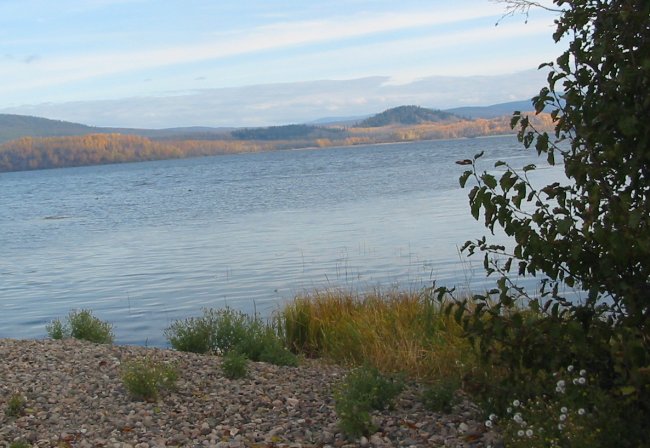
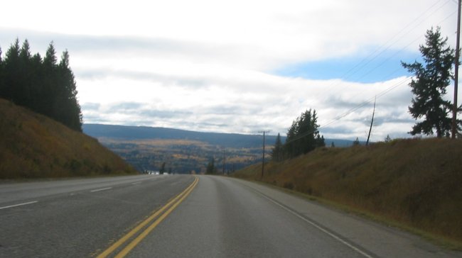
Alas, it didn't last too long...
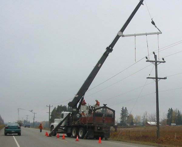
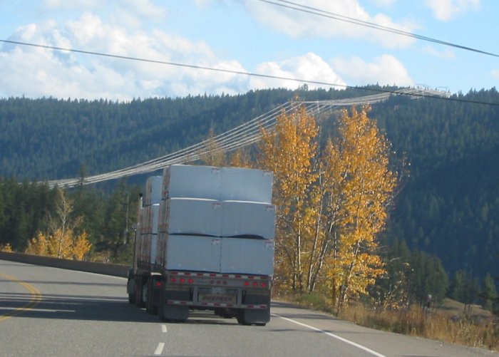
Some sort of powerline / pole work.
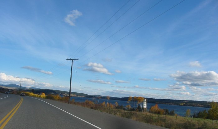
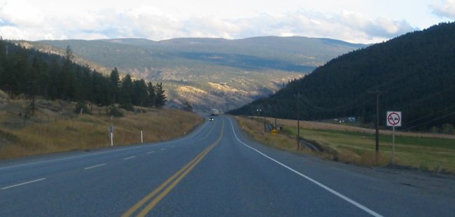
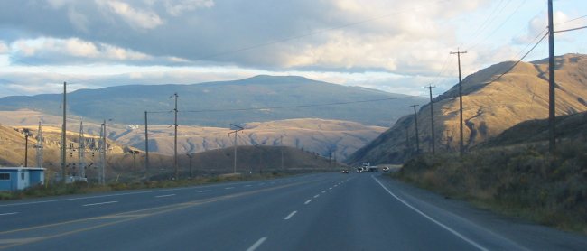
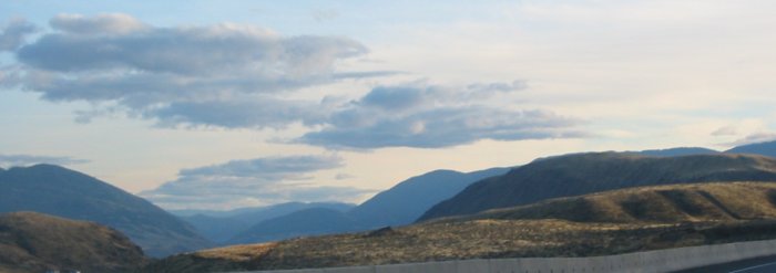
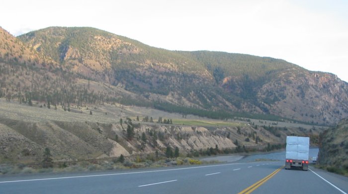
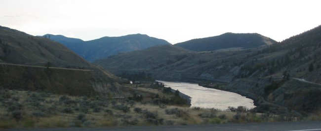
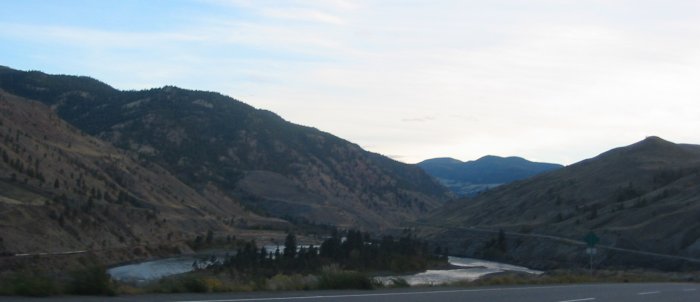
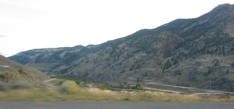
Wide, shallow valley
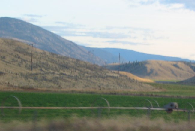
Zipping back and forth over the hills were a large set of transmission lines
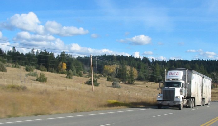
Wood chip hauling trucks.
Thanks to Nitro for filling this in for me.
The valley starts to narrow, the sun is low, dipping below the ridge
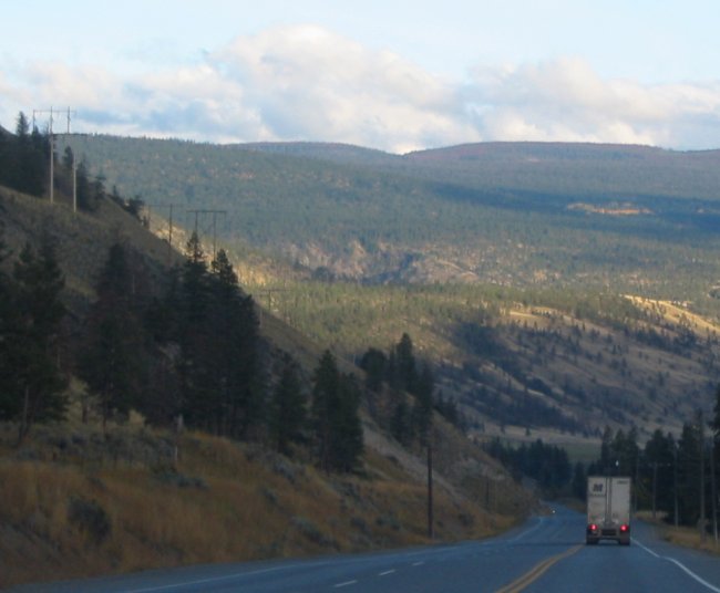
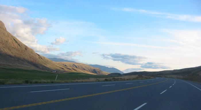
Still a carpet of green trees and grasses
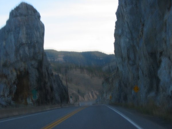
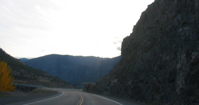
The valley tightens more
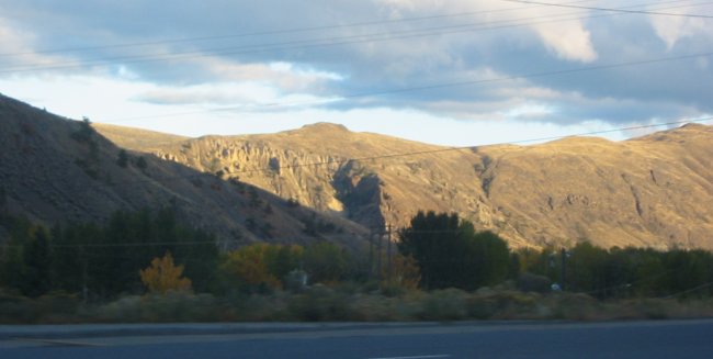
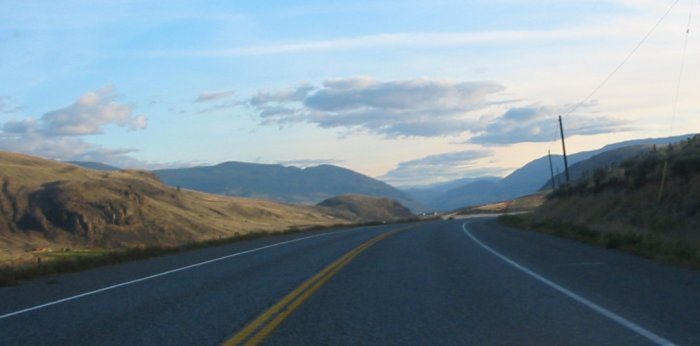
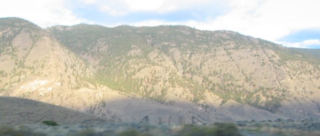
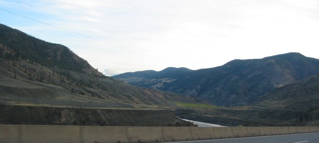
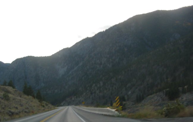
And we spill out from the choke point into a widening valley - with a marked vegetation change. The landscape seems void of vegetation.
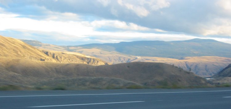
But slowly we start to see some trees
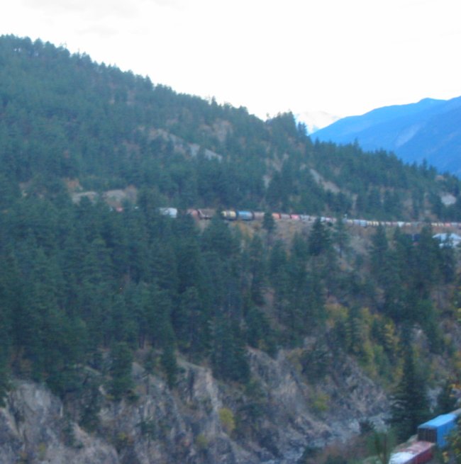
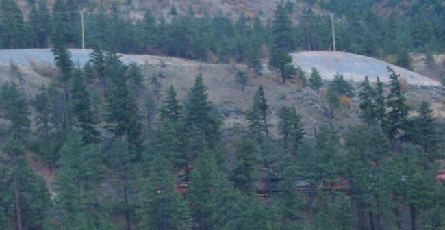
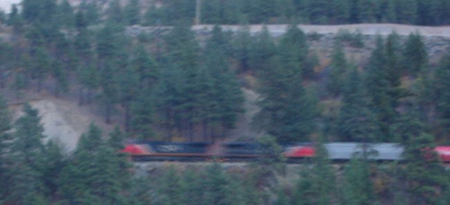
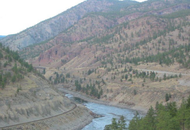
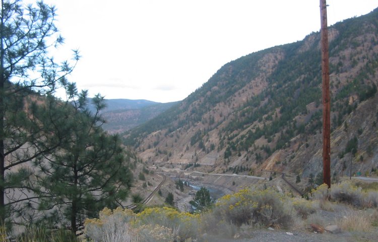
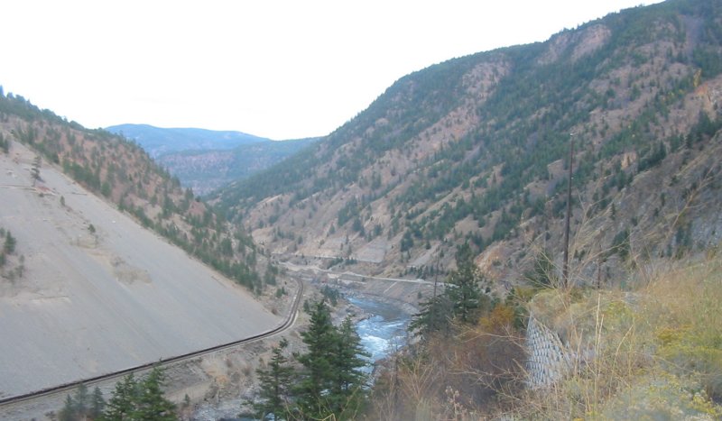
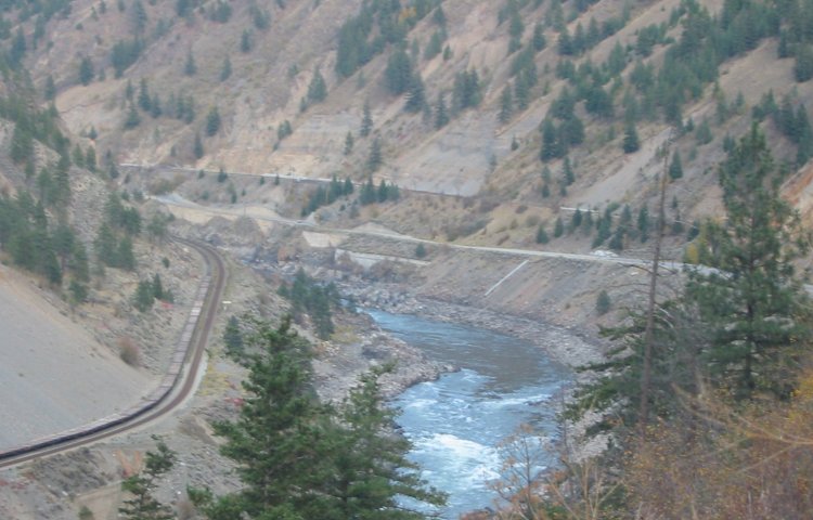
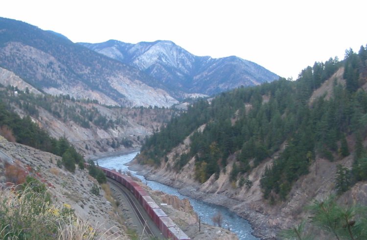
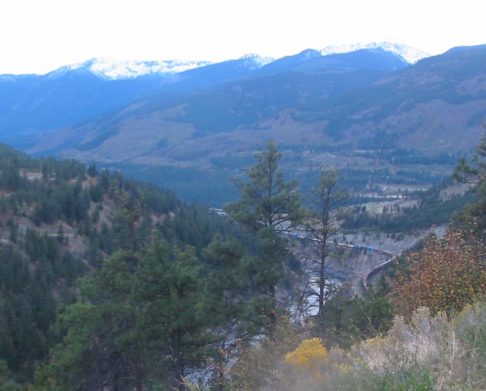
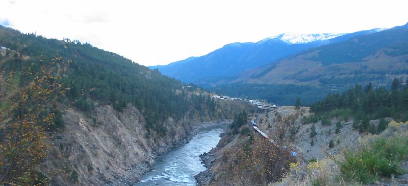
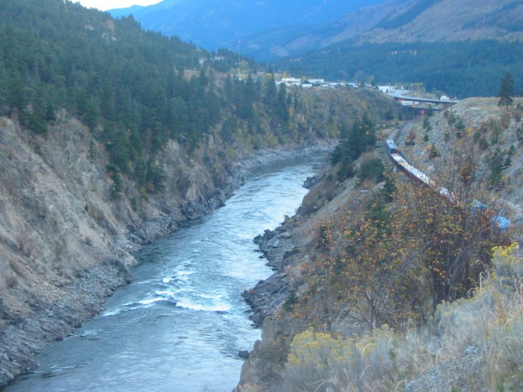
This is the Fraser Valley - a major transportation corridor
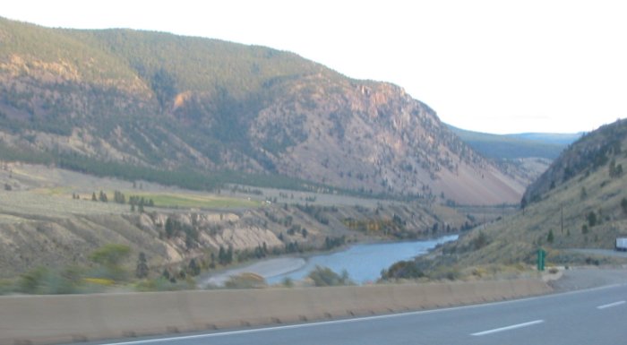
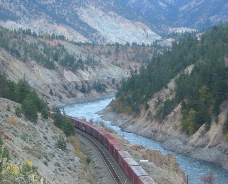
Along with the highway, rail lines ribbon along on both sides of the river.
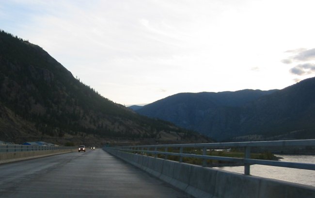
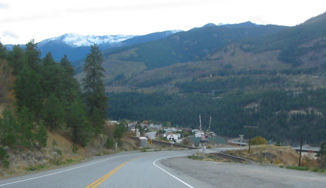
Crossing the Thompson river at Spences Bridge, BC
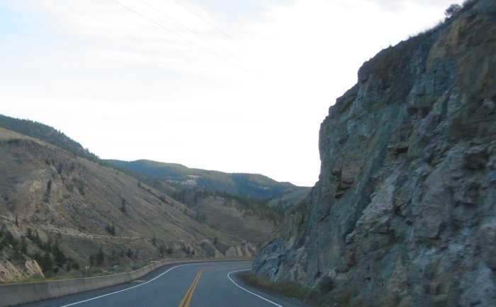
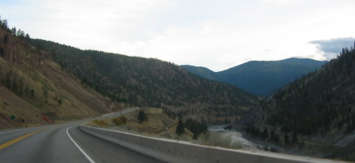
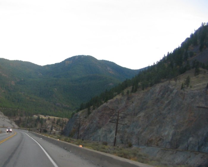
The valley necks down with taller mountains at either side.
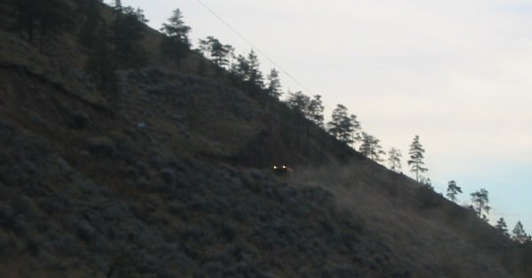
Rail work
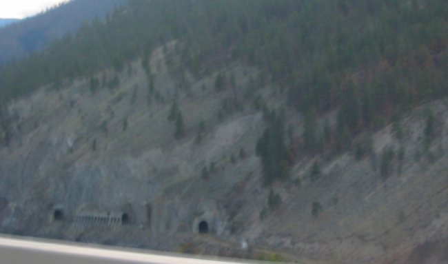
A bit blurry. I've seen these tunnels in a rail fan video. Neat to come by them in person.
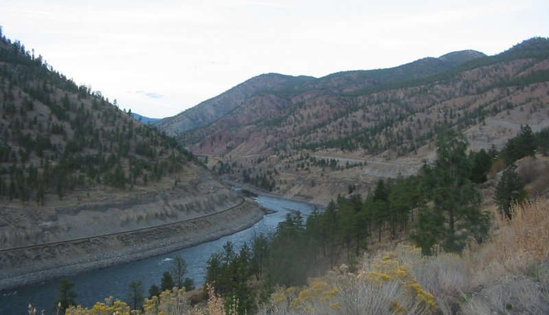
Rail, River, Rail, Road
Lytton BC, leaving the highway to check out a side road / turn North on Route 12.
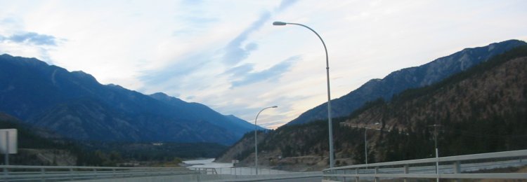
Somewhere just barely visible is a ferry to cross the Fraser river in this intersecting valley
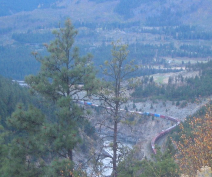
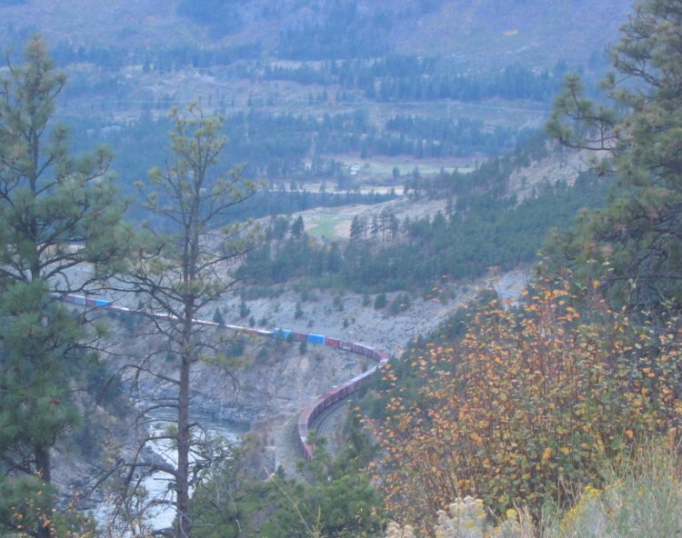
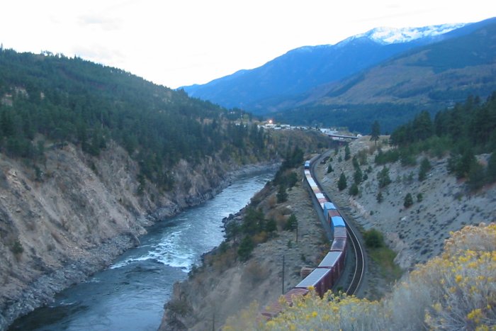
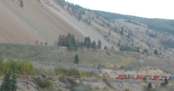
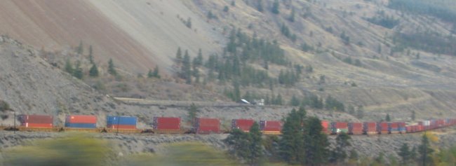
Watching one train on my side of the river another passes by on the other side.