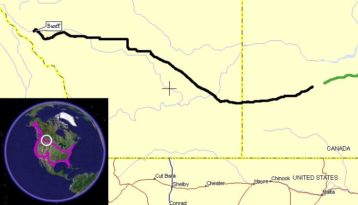
Swift Current, SK to Banff, AB
| I spent the greater portion
of the
morning working on the prior days updates and left the campground right
about Noon / 12:15p. Checkout was noon but I was
all packed
except for the few items sitting at the picnick table for the updates.
SaskTel Mobility (local telephone company) had a hot spot at
the
campground - approx $5 for one hour of access. I wondered
what
speed it had to the Internet but there was no concern when I started
the upload. The 8MB video took only a couple minutes.
The
remaining pictures only a portion of a minute. With the
updates
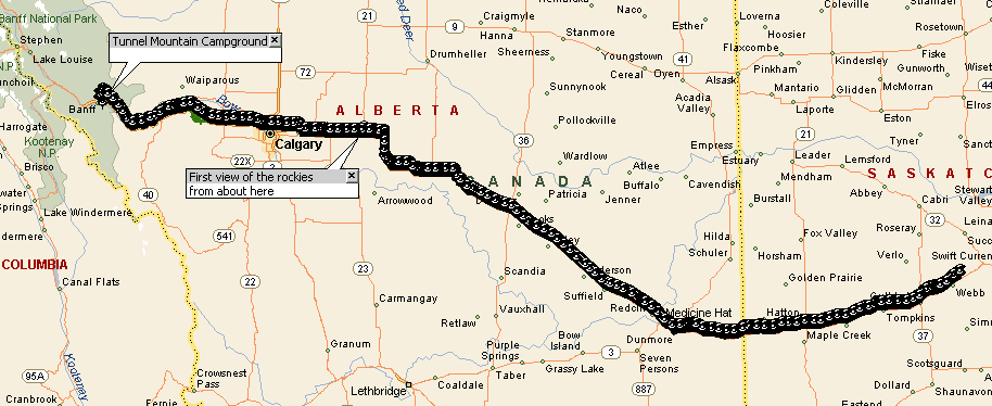
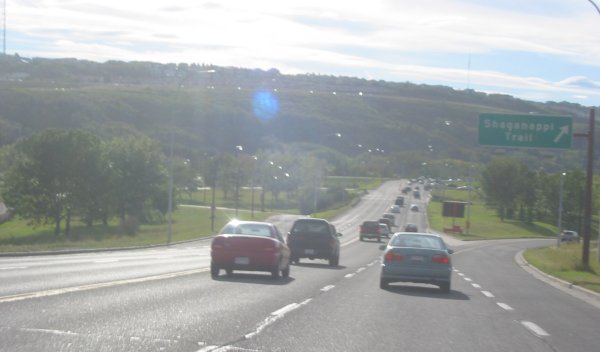
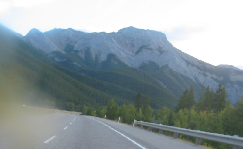
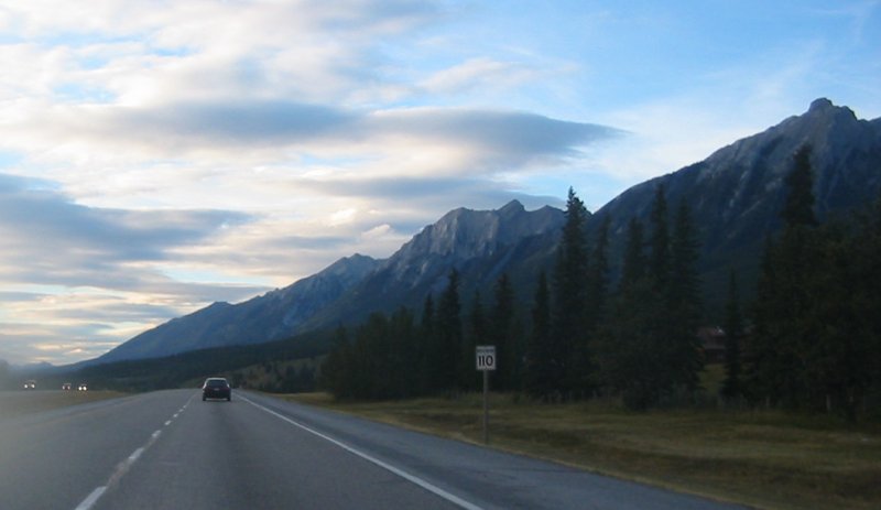
posted I headed out. West of Swift Current there was a mix of ag grassland (wheat?) and cattle. Rolling hills had the road swooping up and down. There was a large valley off to my left for a large portion of the trip. At Medicine Hat I did a fuel and food stop. I kept seeing the "Tim Horton's" places so I figured I'd give one a try. It wasn't what I expected (something more like a Denny's or a buffet place) but it fine nonetheless. It is a coffee / doughnut shop that also deals with soup & sandwiches. Medicine Hat looked to be situated in a valley but where I stopped it was before the descent to the river. About halfway to the valley I came across what looked like a terrible accident - police cars all over the center median of the road - lots of semi trucks too. It turned out to be an impromptu truck inspection. They closed down the interior lane and were having trucks stop on the roadway. Odd I thought. Right in town. There was no backup outside of a temporarily signed lower speed limit. Back up the valley and out of town I went. As I neared Calgary I started to see more industrialized farming - the first irrigation systems (those that make the sweeping circle in the field) were seen. About an hour east of Calgary I started to see the Rockies. That would put them about 60 to 90 miles away. I had no intention of detouring around Calgary as I'm trying to see a bit of what the cities are like. Calgary had a fair bit of traffic and I spent some time at traffic lights. The downtown / city center was off to my left and while the buildings looked interesting I didn't wish to deal with more traffic. On through town I pushed. At the western edge of town the road dropped into a valley and later in the valley I saw the Olympic Park up on my left. Shortly out of town I stopped for fuel at a Petro Canada station and spoke with Mel. He said a nice place to camp would be the Tunnel Mountain Campground near Banff. With the tent set up and the luggage stowed I headed down to Banff for some dinner. Before hitting the starter on the bike my attention turned to the elk? walking near the end of the campground. People and rangers were keeping a closer watch. In town, there was a food court where I had a Chinese dish then back to camp for some sleep. |
Video
Swift Current to Banff
2005-09-07.mpg
MPG, 7.2 MB, 1 min 43 sec
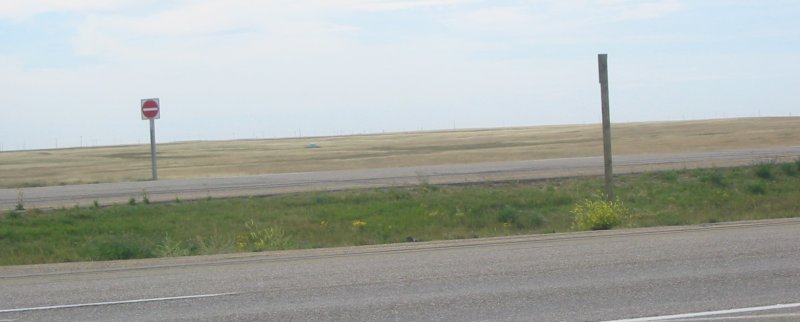
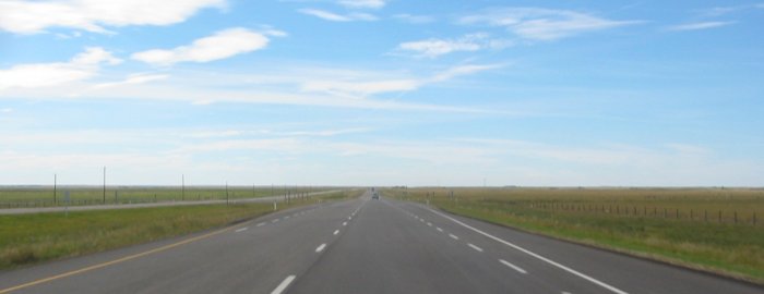
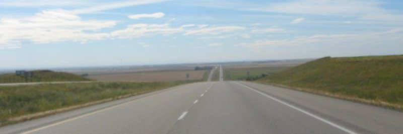
West of Medicine Hat (I think) - wide open. Oh, and there was a section west of M.H. that there were no trees.
Void - nada. Then slowly the clumps of trees started to appear.
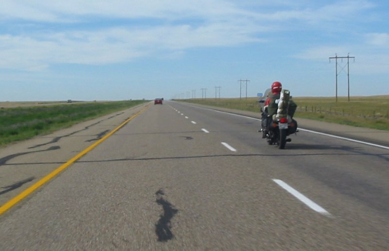
Another gent out touring
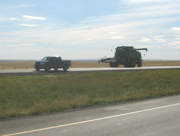
Cars, trucks - farm combines - everything is fair game on the road
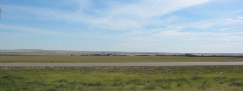
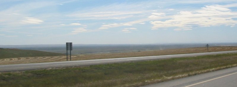
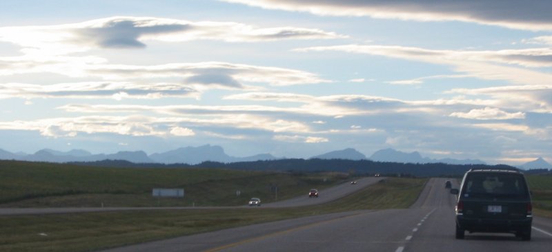
The wide valley - the far edge is just visible on the horizon
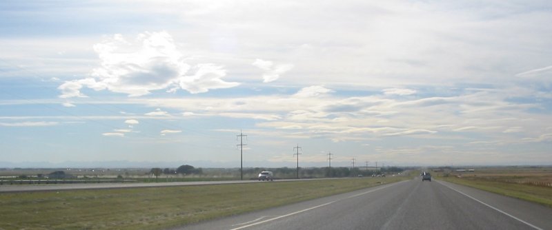
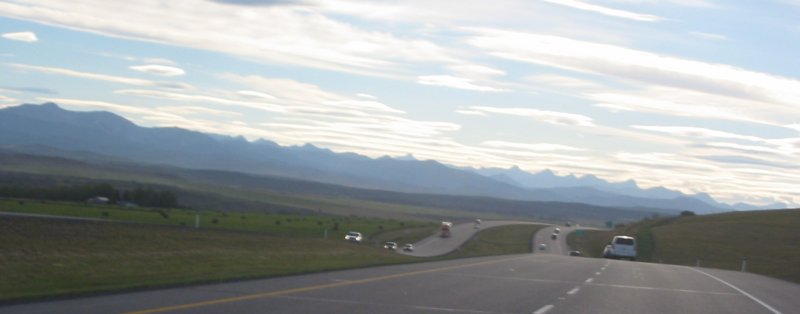
Getting close to Calgary - Rockies just barely visible near the left half of the picture
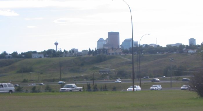
Calgary - looking towards downtown / city center
Traffic. The valley the western edge of the city drops into. Near the top right of the picture is the Olympic park.
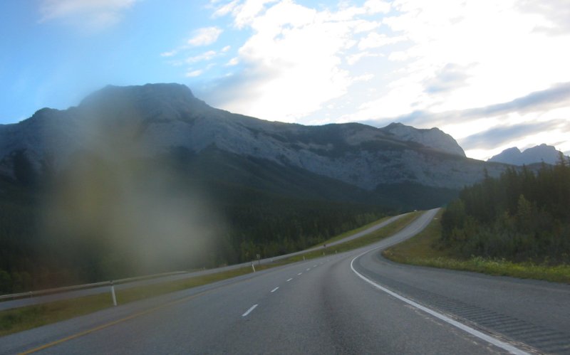
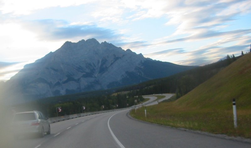
West of Calgary - the mountains are getting more pronounced
The blemish on the left section of these several pic's is a bug splat.
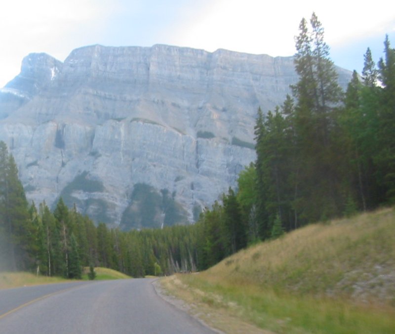
Turning off of the highway and onto the two-lane up to Tunnel Mountain campground