Aug 30 - Sept 6
Tuesday
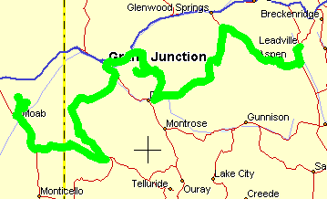
Start in Leadville CO and end up in Moab UT
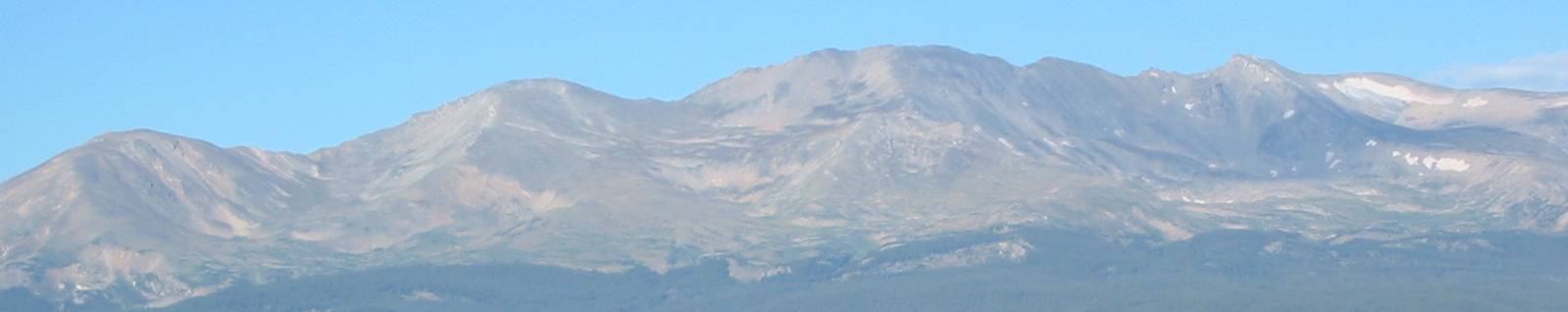
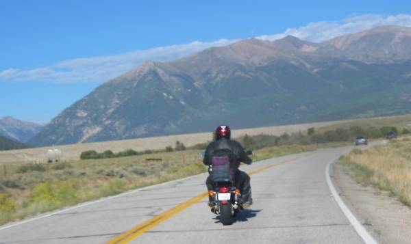
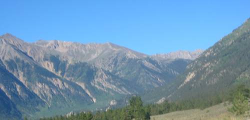
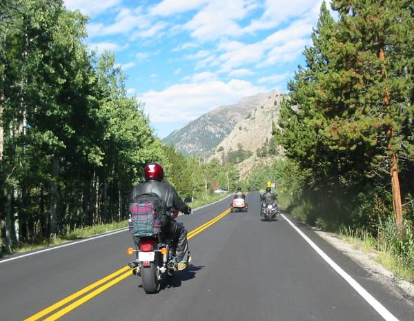
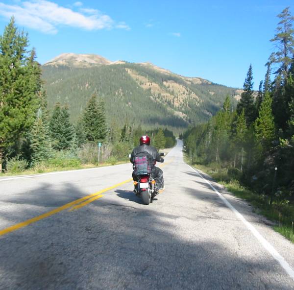
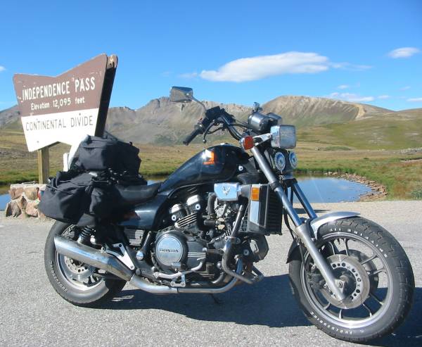
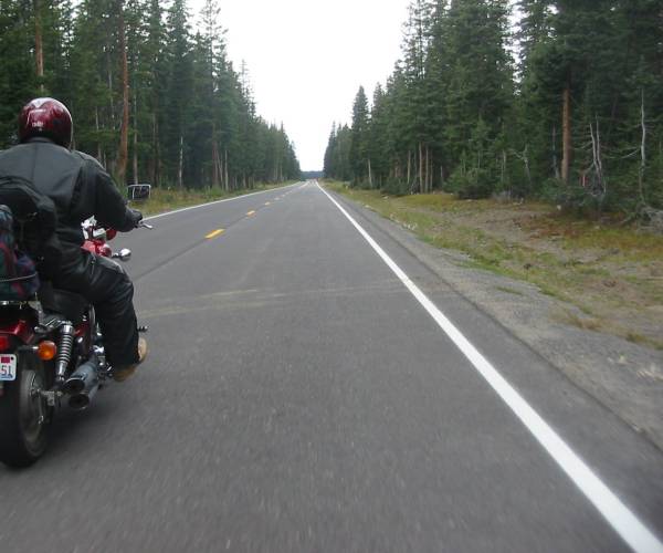
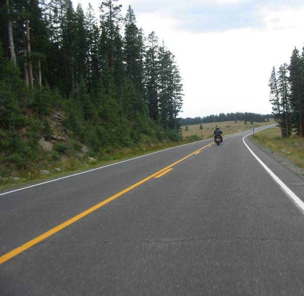
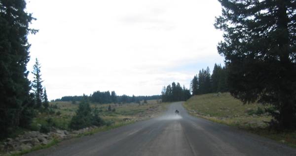
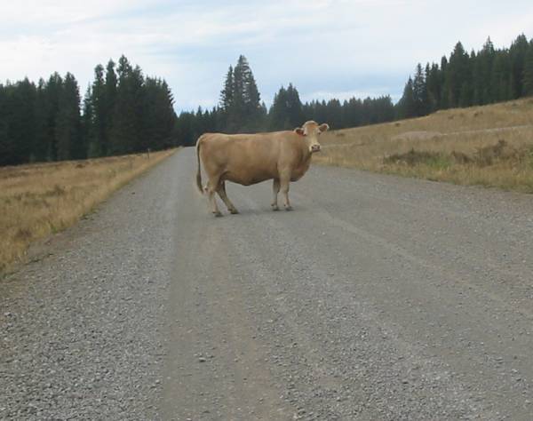
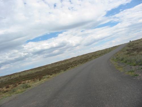
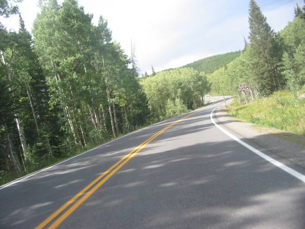
We rode past the highest peak in Colorado, Mt. Elbert (14,433 ft); up and over Independence Pass (12, 095 ft); passed some paragliders enjoying the air above; processed through Aspen and Snowmass and turned south through Redstone; up and over Mc Clure Pass; rode along the almost drained Paonia Reservoir; passed by a couple working coal mines (and saw a unit coal train being loaded at Somerset); turned north and headed up to the Grand Mesa; visited some parts of the Grand Mesa that I had seen from a few years back on a snowmobiling trip; stopped over at Grand Junction for fuel and a break; dropped south on CO 141 (which ended up being a sweet ride); headed west through the Paradox Valley (valley runs East-West while the river runs North-South); over to Moab UT for the night.
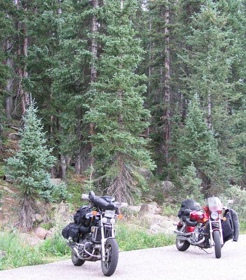
Motel parking lot - Leadville CO
The left four were from the general area and the right two were from (Decatur?) Illinois. Howdy folks!
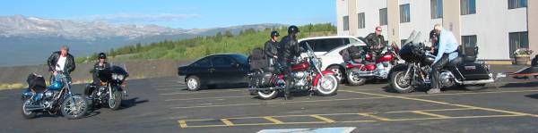
Looking west from the motel parking lot
(scroll right if it's not all on your screen)
The couple from Illinois
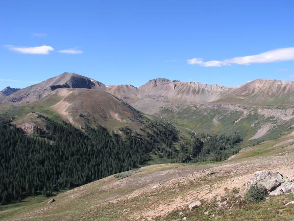
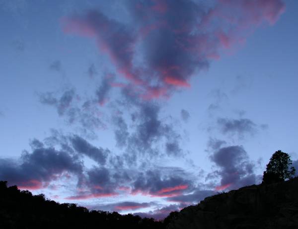
Looking West
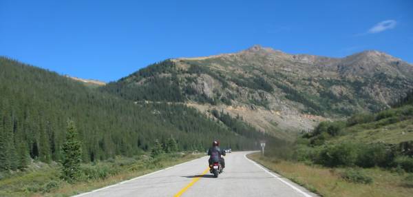
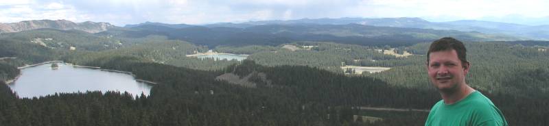
Almost a 360 view from the pass
Click for a larger image

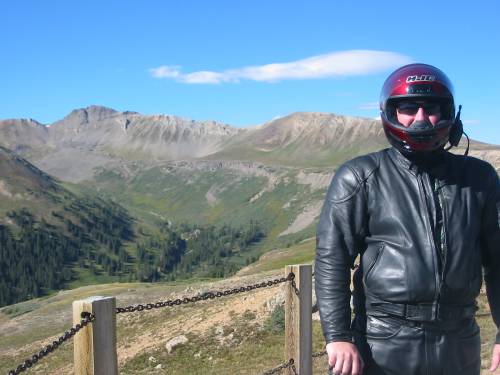
Ken, Independence Pass
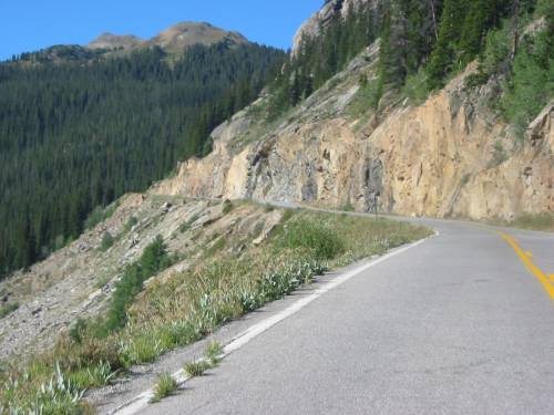
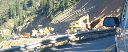
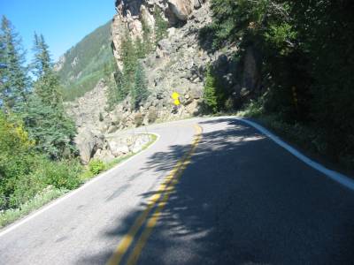
Clearning a rock slide. Western slope towards Aspen.
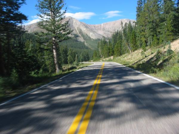
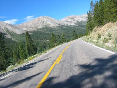
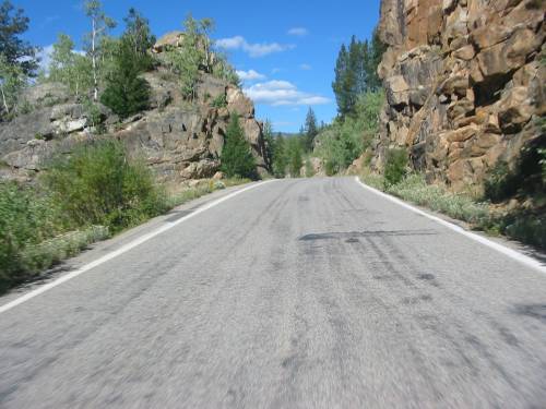
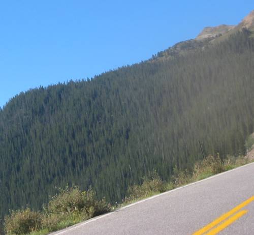
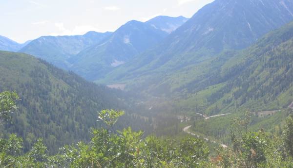
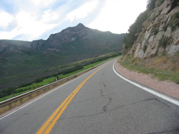
Heading up Mc Clure Pass
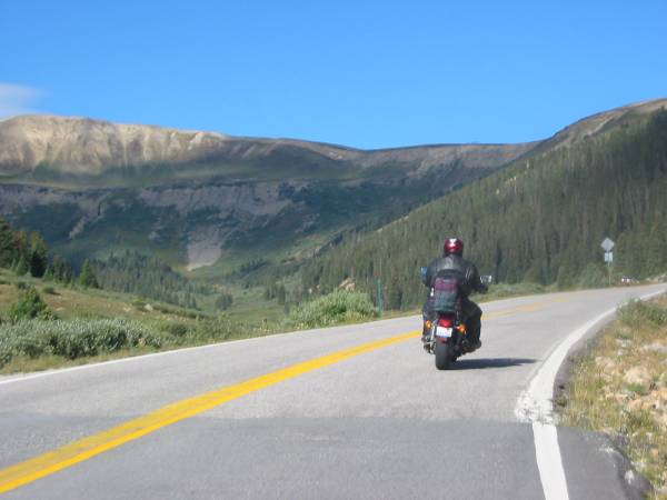
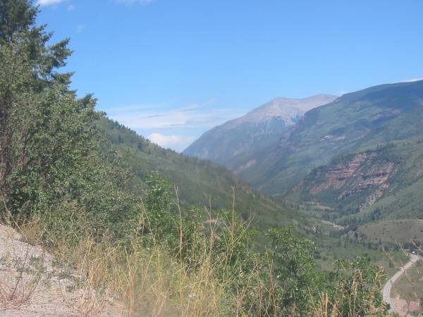
Looking north up the valley from where we came
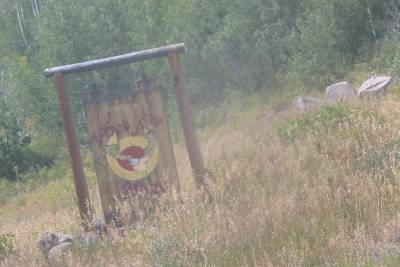
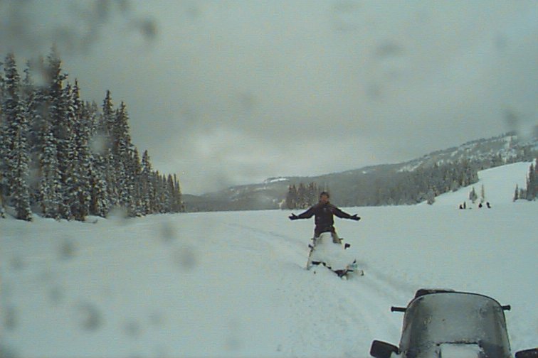
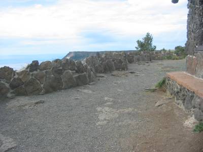
Luke, Bob? Either of you recall this sign? We came across it while snowmobiling on the Grand Mesa Trip (click for that trip report). On this trip we passed it and I had to turn back to get a pic. The sign is no big thing but to have it jog the memory of what the place looked like with a great deal of snow is nice.
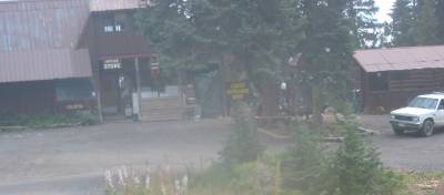
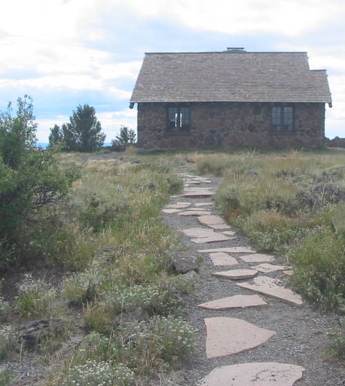
And another - the lodge. Looks bare w/o 6 foot snow piles around it.
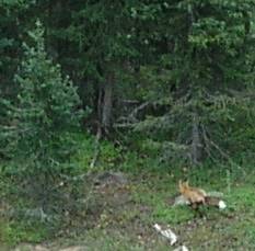
Ken was able to catch a shot of this fox.
Jim
Ken
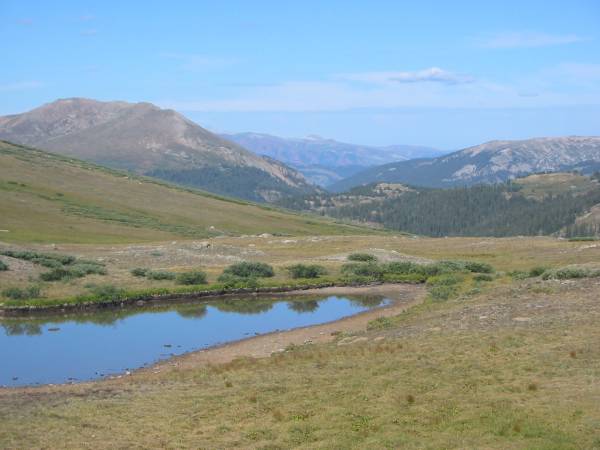
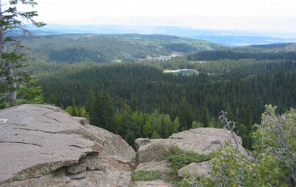
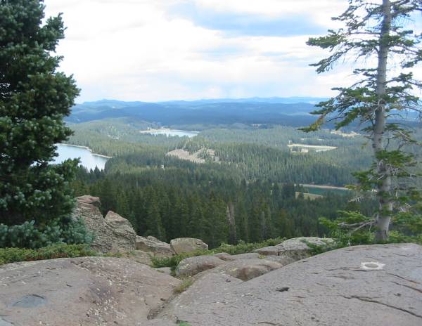
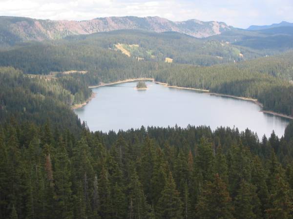
This picture is looking down at Island Lake (summertime) and this picture (from the same Grand Mesa sledding trip) was taken just from the top-right of the island - looking back up here to the hill.
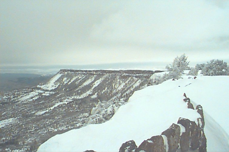
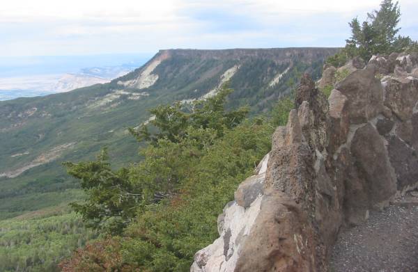
The Grand Mesa is the world's largest flat top mountain
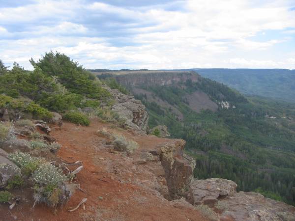
Click to see this view with snow
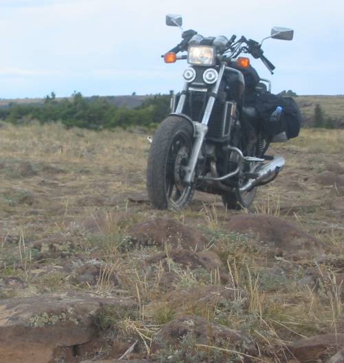
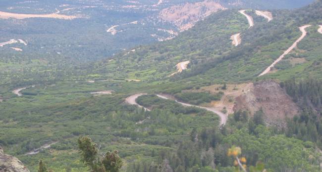
Lands End Road
This might look like a fun road - and perhaps it certainly is - but we had enough of gravel for a bit.
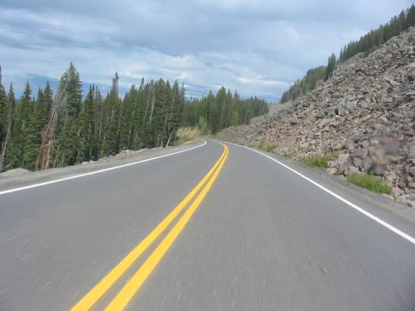
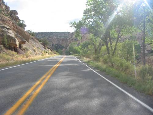
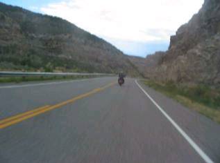
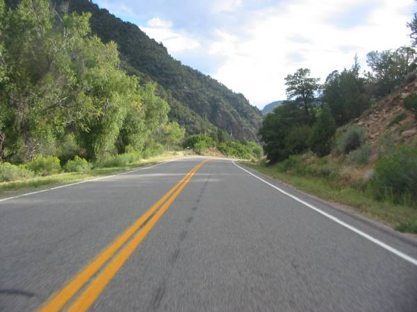
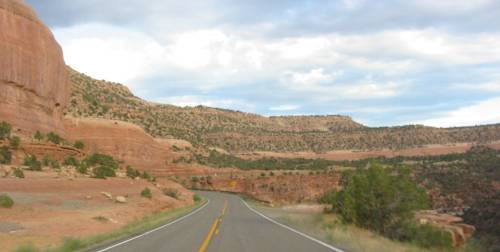
Colorado State Route 65 - coming off of the Grand Mesa - getting close to I-70 - a nice canyon ride.
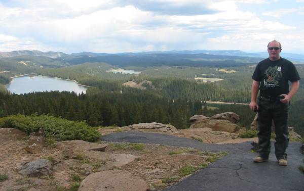
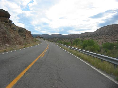
Heading over to Grand Junction for some fuel and to decide the next turn.
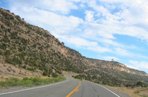
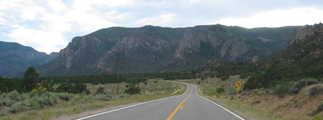
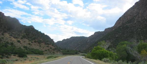
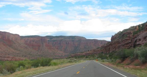
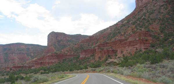
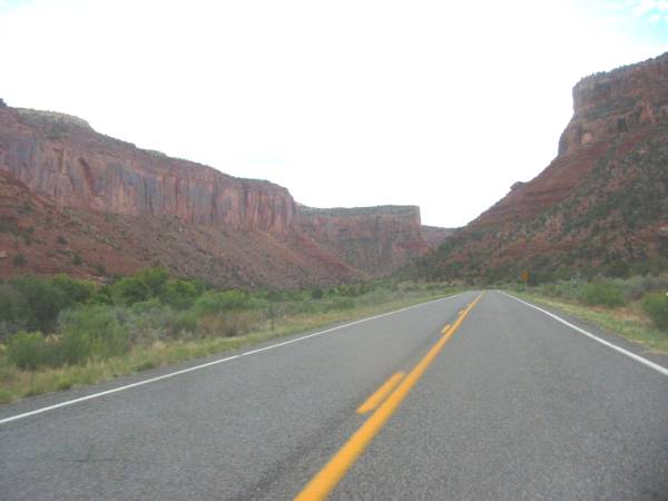
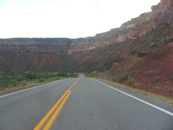
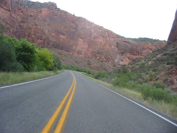
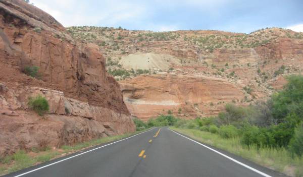
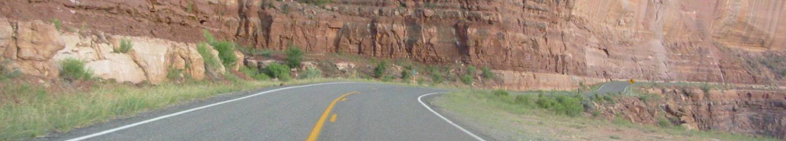
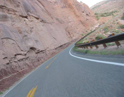
Colorado SR 141. One sweet section. Between Grand Junction & Naturita.
Eighty-eight miles of nature in the canyon. Few marks of population.
We ended up riding this route, in the same direction, the next day.
Video
SR 141
tue-SR141.mpg
MPG, 1.6 MB, 0 min 12 sec
Getting close to Gateway CO.
It is such a small place that I'm surprised they had a school crossing sign.
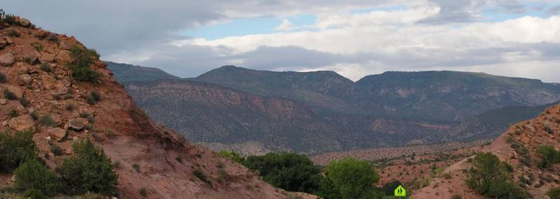
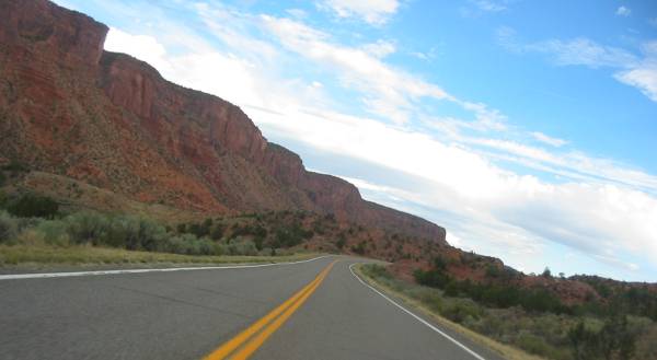
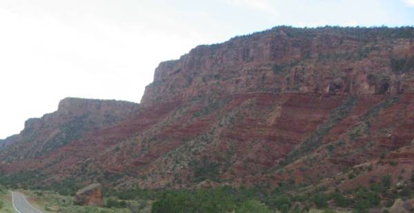
Tenderfoot Mesa (7702 feet), Gateway CO.
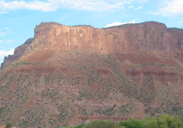
The Palisade, Gateway CO
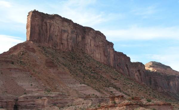
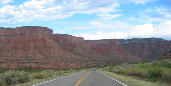
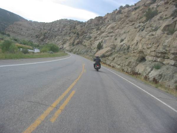
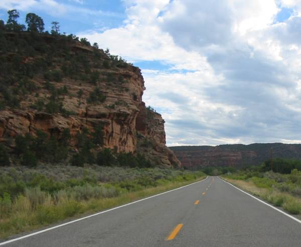
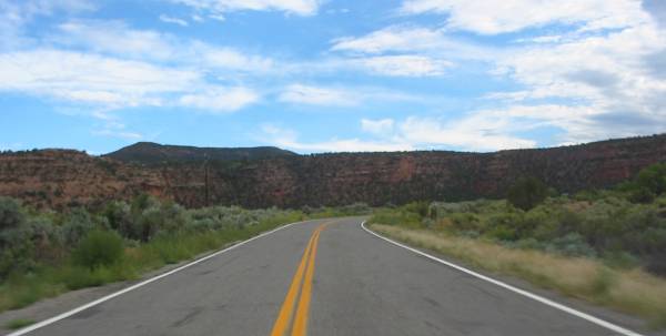
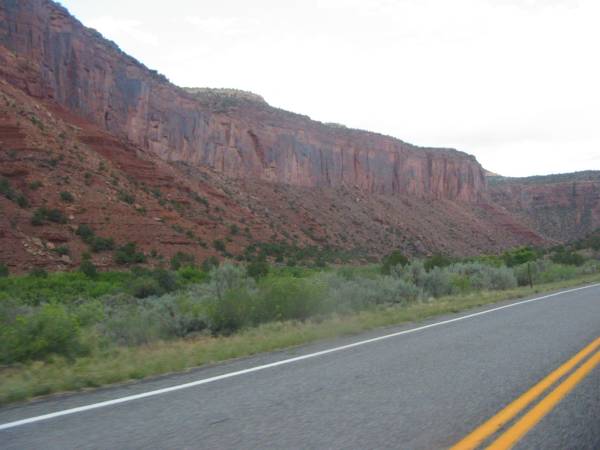
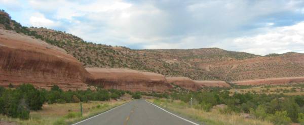
From Gateway to near Uravan the valley is walled with red rock and green brush.
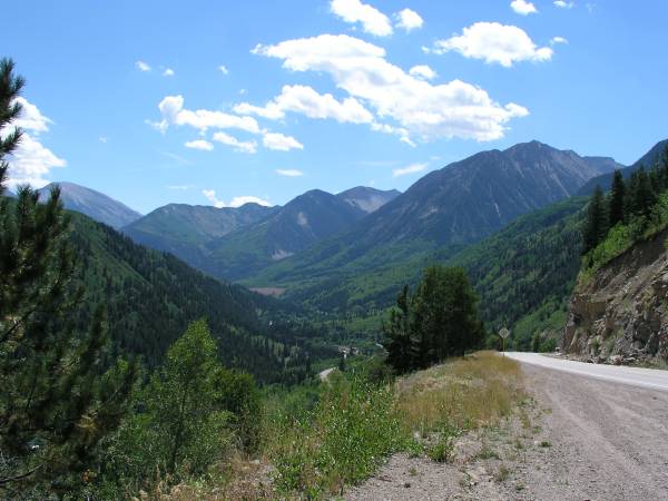
At several points I thanked God for the majesty I was able to view.
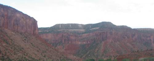
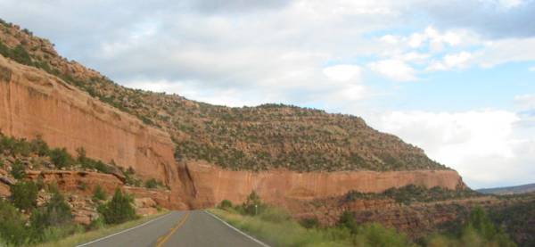
Wide picture - scroll right
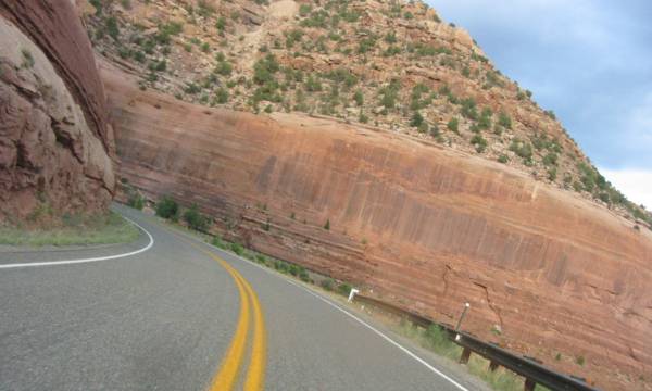
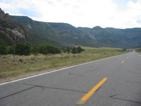
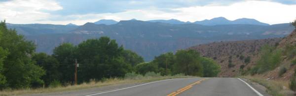
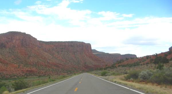
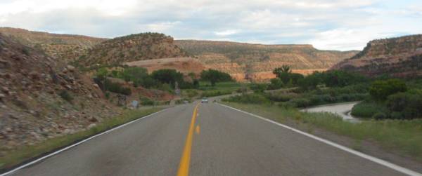
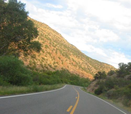
As we close in on Uravan the valley starts to widen and the rocks loose their deep red.
Down between Uravan and Naturita
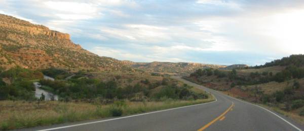
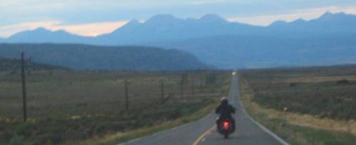
The Paradox Valley
Heading west from Naturita to Moab Utah.
A photo can only remind how spectacular it really was