Day 4 - Sunday
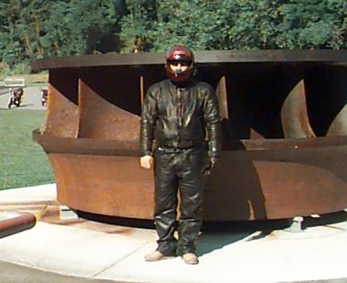
Ken standing at one of the old turbines from Fontana Dam
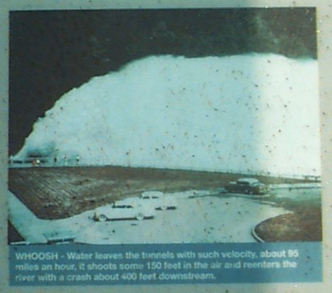
Picture of the spillway roosters
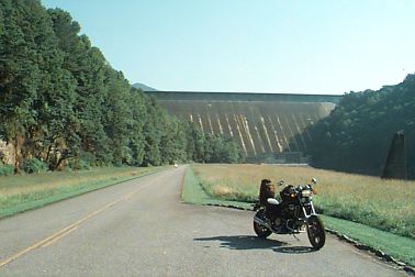
Looking up at Fontana Dam
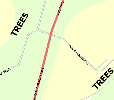
West of Murfreesboro - getting close to the Natchez Trace Parkway
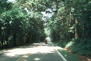
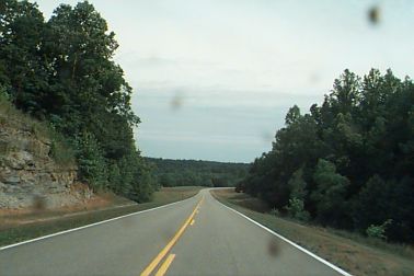
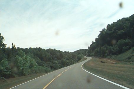
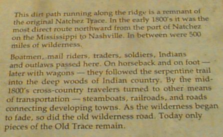
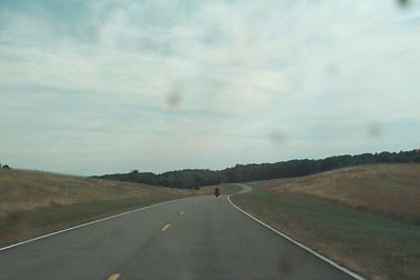
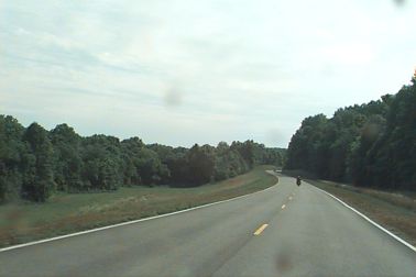
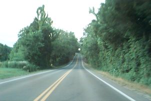
The Natchez Trace Parkway
The current 450 mile roadway roughly follows an old trail from
Nashville South to the Port of Natchez
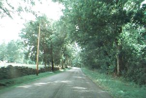
One thing I love about this road is that the traveler is shielded from
the outside world.
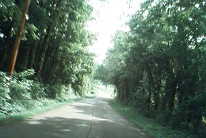
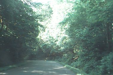
Cross roads are few, but where they occur, the Trace is often bridged
above, with the crossing road being 'jogged' such that when you are crossing
over the road you can't see straight out to either side. The crossroad
is bent 90 degrees and trees are abundant. See
picture
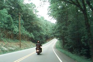
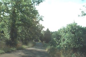
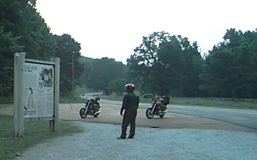
Off of the Trace and onto side roads
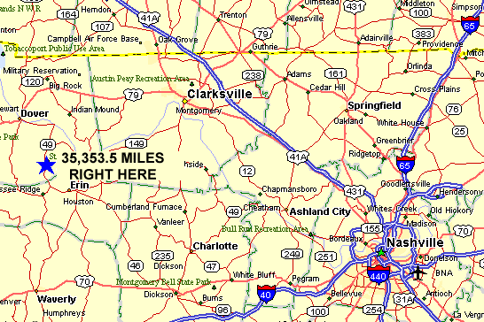
Had to stop and take a pic - 35353.5 miles
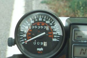
And here's where it was. . . .
(why do I bother documenting stuff like this - with this much detail????)
WGS84: 36.381697655, -87.7668089513
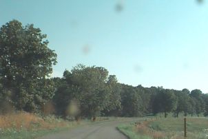
Heading North in the Land Between The Lakes
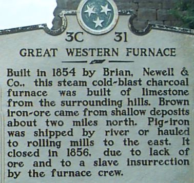
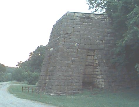
Ken at the blast furnace
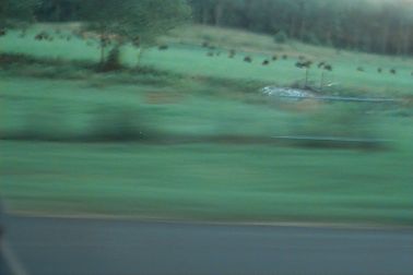
Bison - guess ya gotta trust me on this one