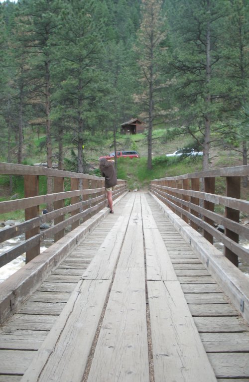
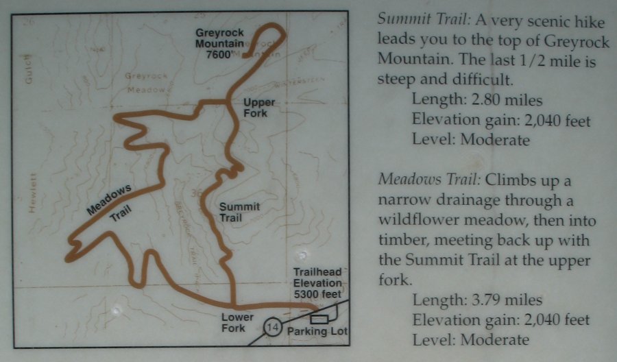
Greyrock Mountain's Summit trail
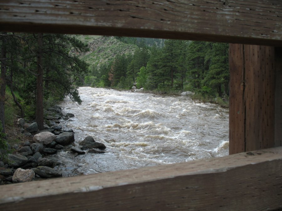
| From
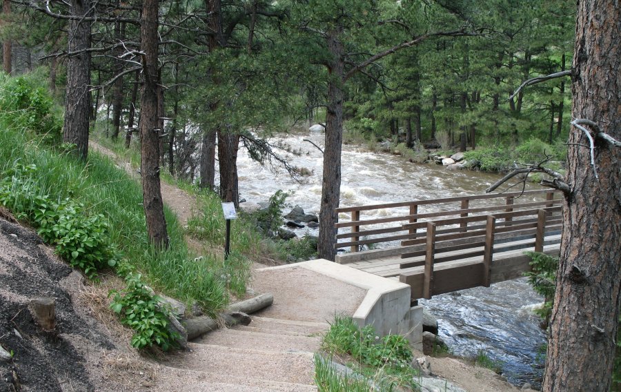
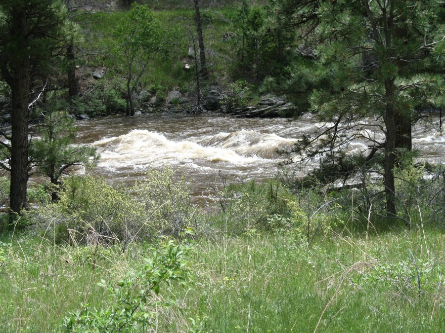
the parking lot we cross over highway 14 then cross over the Cache La
Poudre river. It's runnnig at or above flood stage - heavy spring
run-off. Bridge picture time: 1:18pm (used to gauge my hiking speed) |
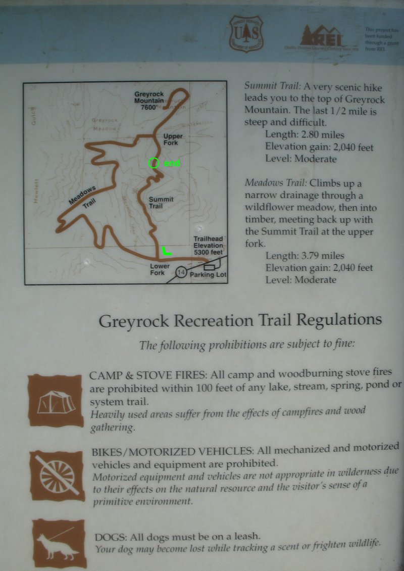
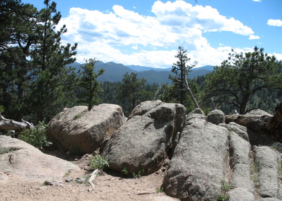
| I started at the trailhead (bottom right) and turned up the Summit Trail. I stopped at a boulder strewn picnic spot. One-way distance... about 2.2 miles. |
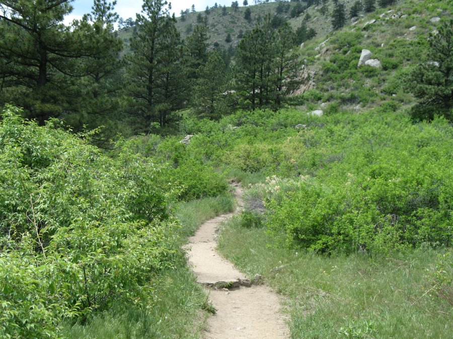
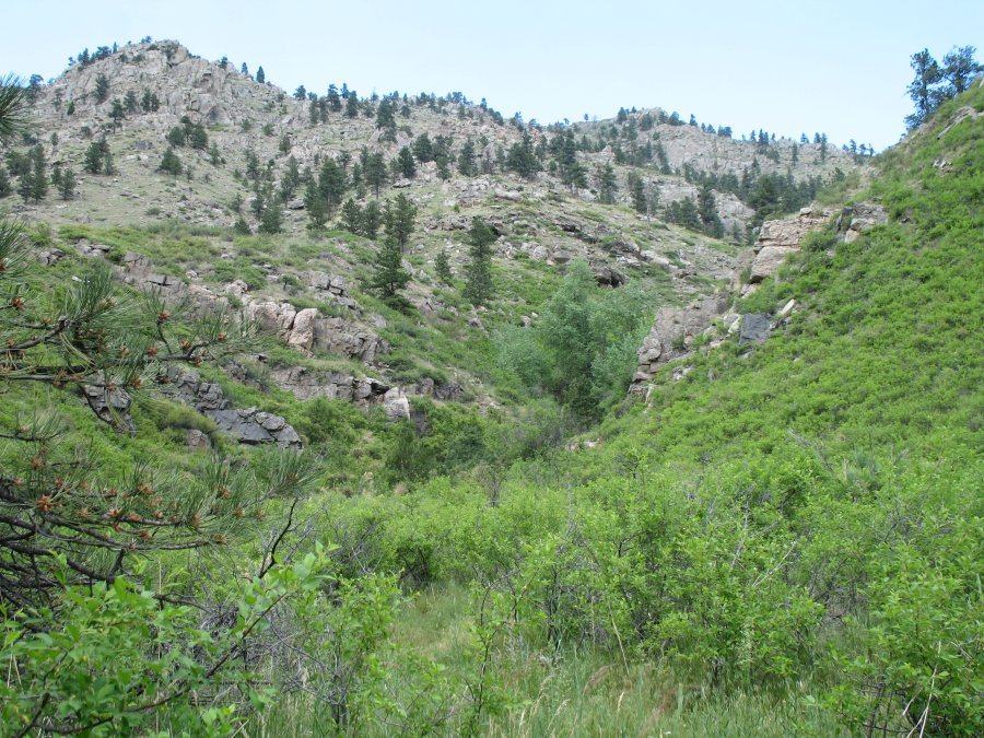
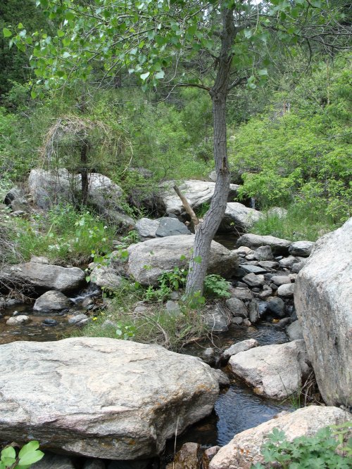
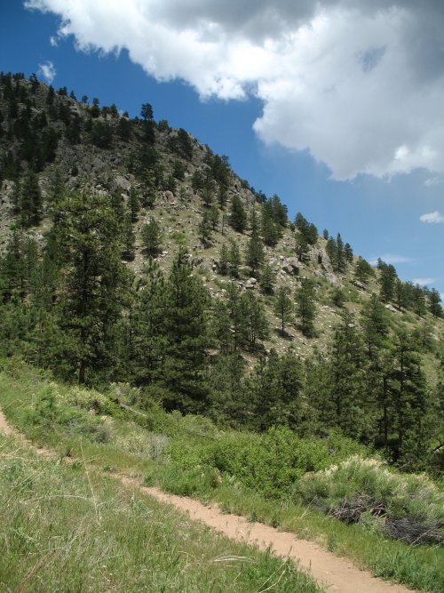
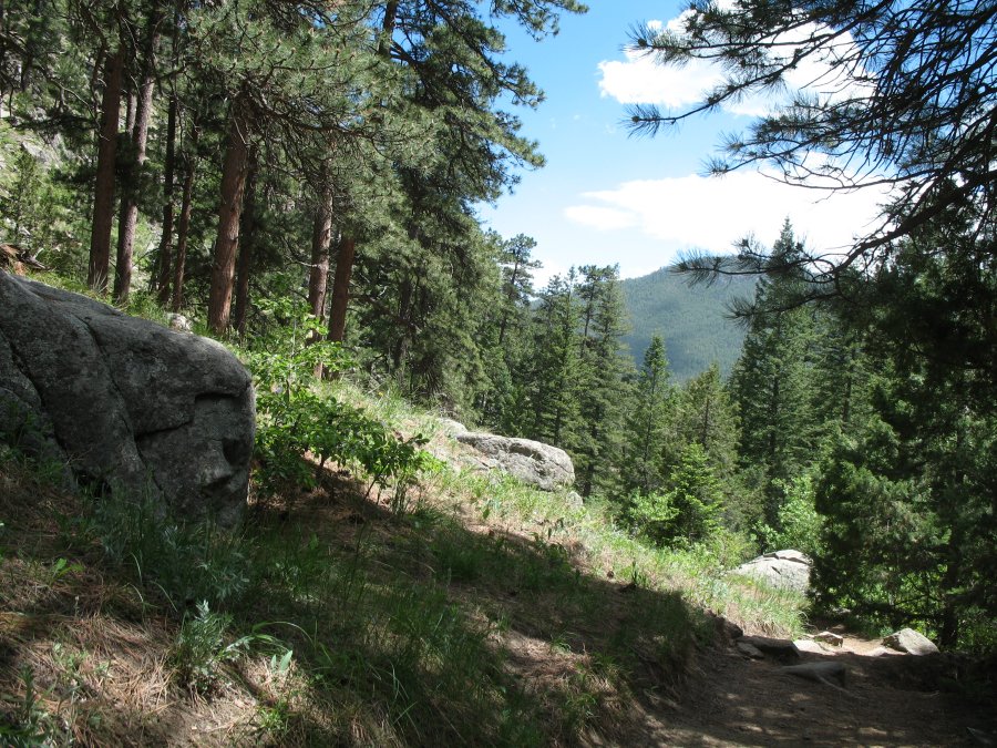
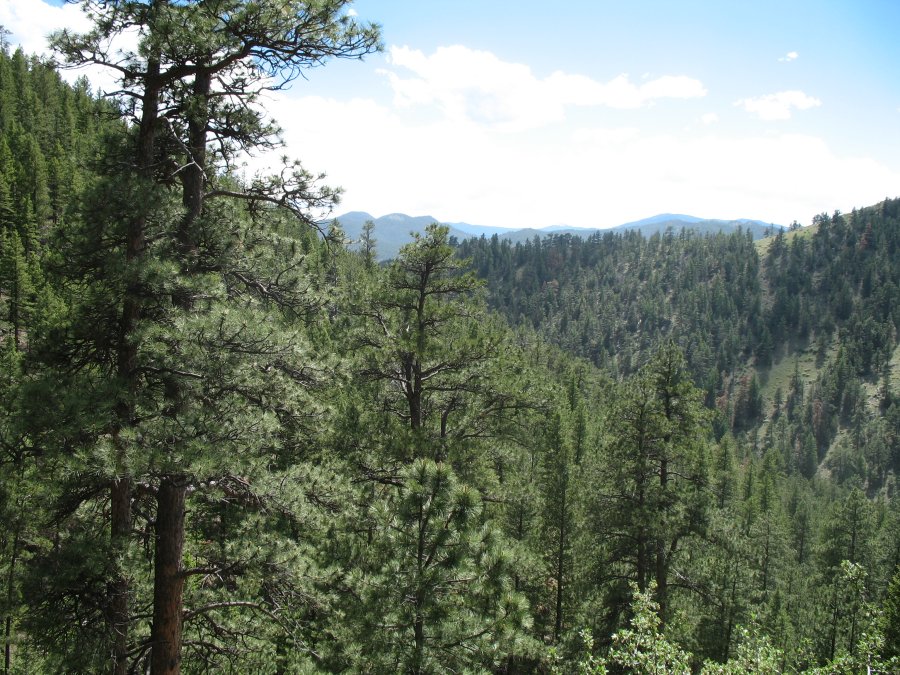
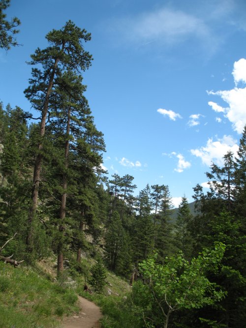
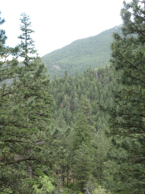
| On the trail, heading up, looking down upon the river. |
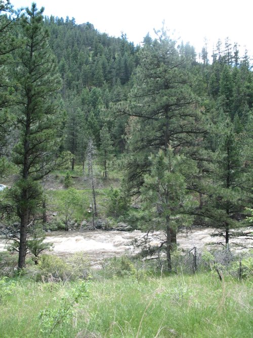
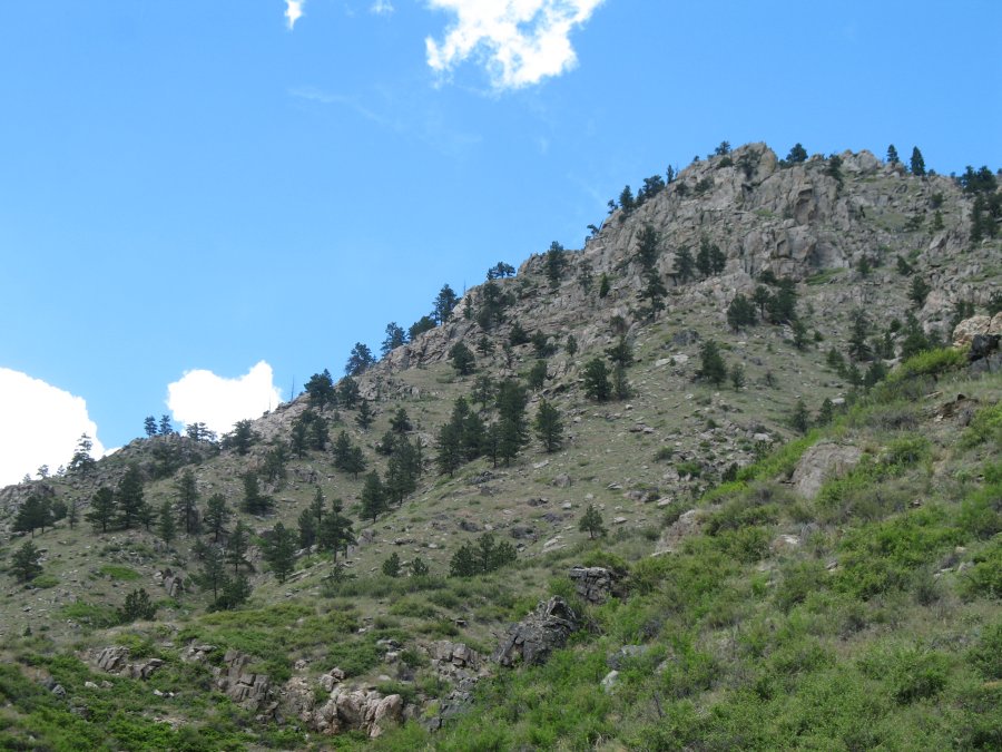
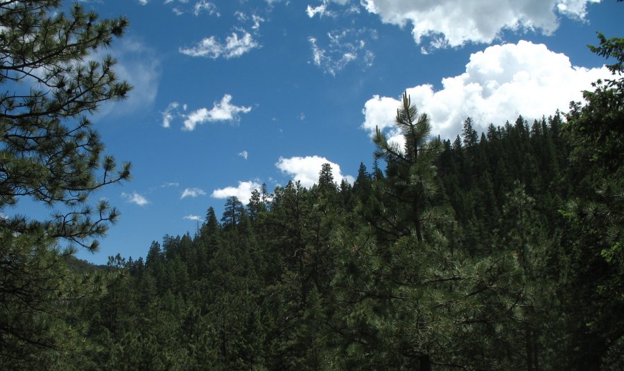
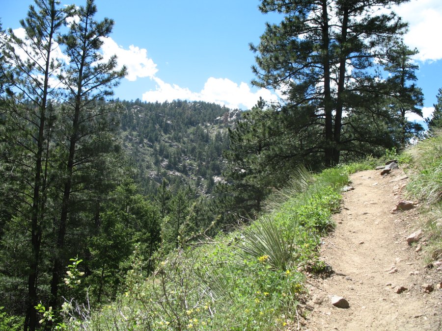
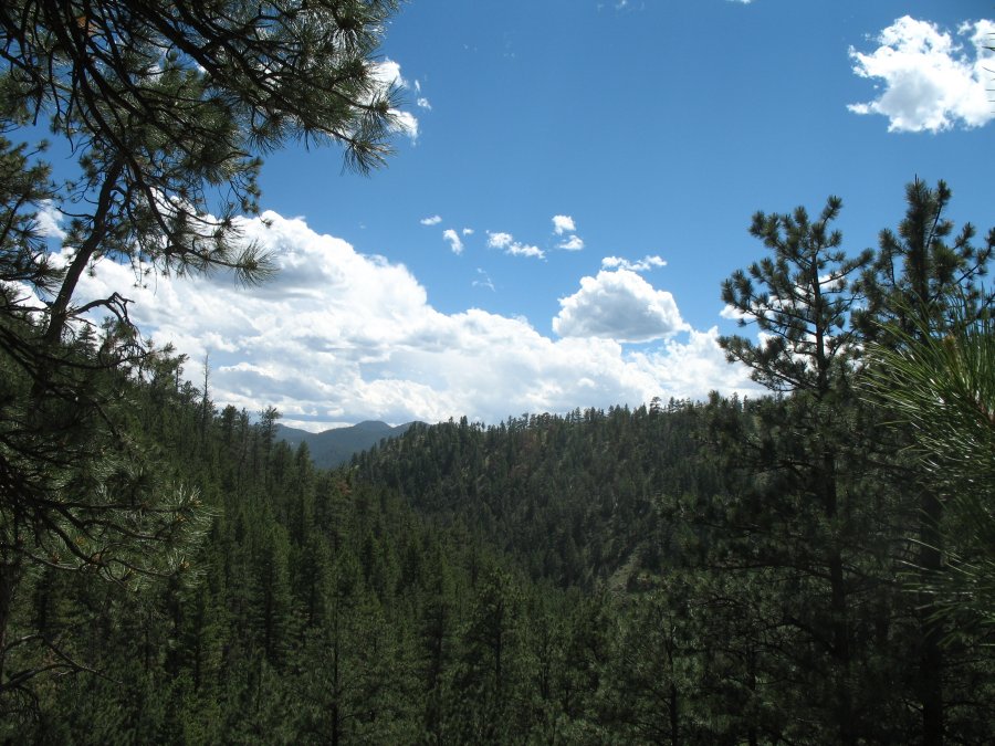
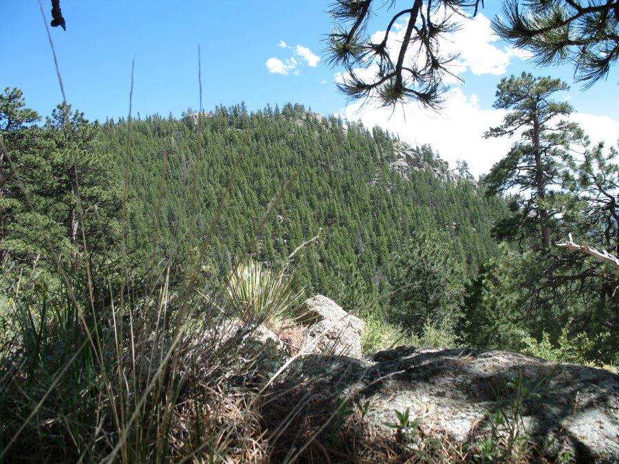
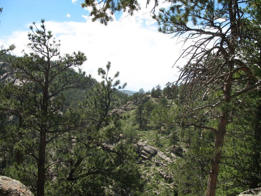
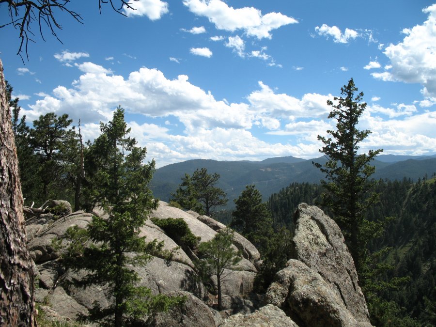
| A nice view. |
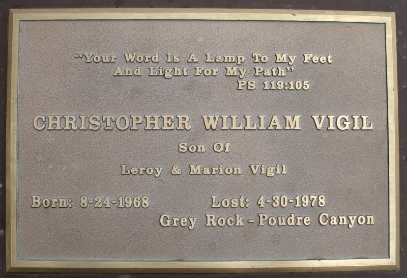
| A short bit into the trail was this wayside marker. "lost", not "died", caught my eye and I researched the name. From The Senior Voice, June 2010 (archived PDF)
On April 30, 1978, nine-year-old Chris Vigil disappeared while hiking
on the Grey Rock trail in Poudre Canyon west of Fort Collins. The boy hiked ahead of his family to follow the trail. Halfway up, he met a man named Allen, who was resting on a rock. The boy asked Allen which way the trail went because it seemed to vanish in a field of rocks and boulders. Allen said he wasn’t sure but shared a candy bar with the boy and suggested he return to his parents. Instead Chris went on alone. The weather was changing; dark and rain made the rocks slippery. Several times Allen heard the boy call out, trying to keep in contact with his family. Late in the afternoon, Allen called out for the boy, but there was no answer. Allen turned back and found the boy’s family anxiously waiting for Chris. It was getting dark; sleet and snow began to fall. The Larimer County Search and Rescue Team was called. They searched through the night and for days after. Over 130 people combed the mountain, and divers delved into the waters of a small lake, but with no success. On May 20th the search was suspended. Friends and relatives offered a reward, but the little boy never returned to his family or his third- grade class at Cache la Poudre Elementary School. |
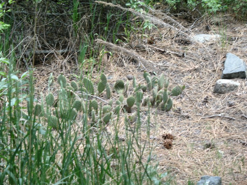
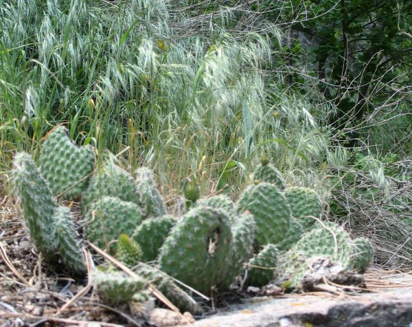
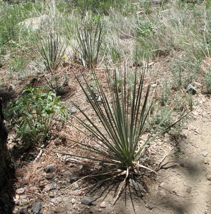
| Cactus - a couple different types were near the trail. High Desert is a classification for this region. |
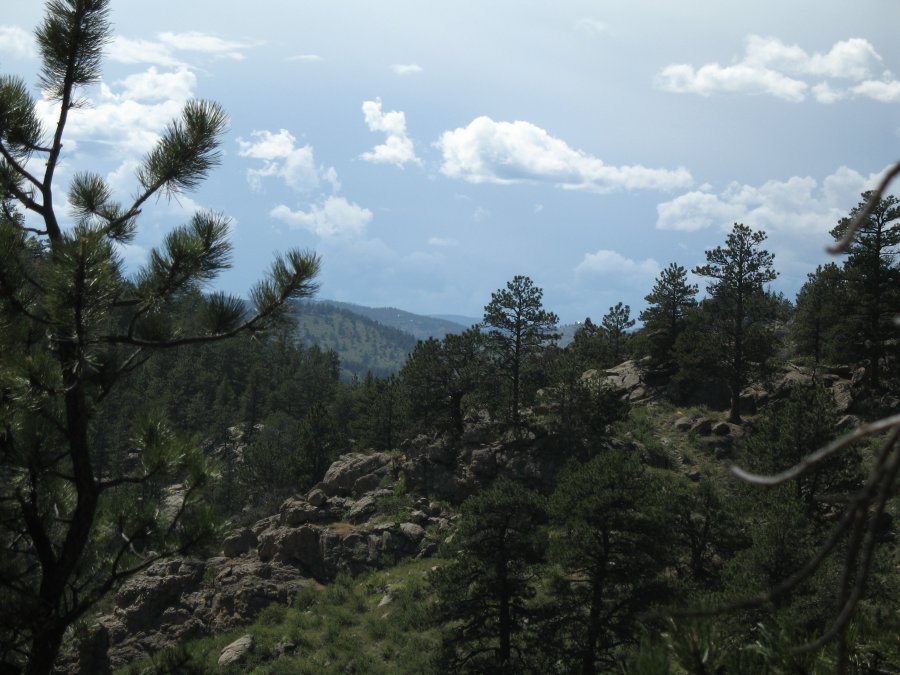
| Some great clouds today! |
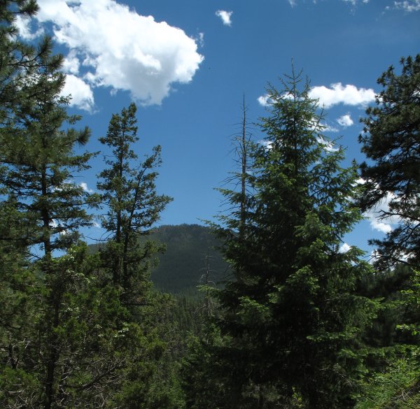
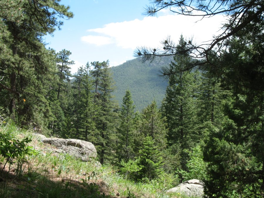
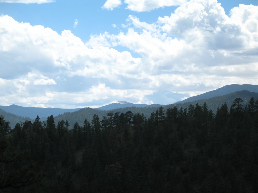
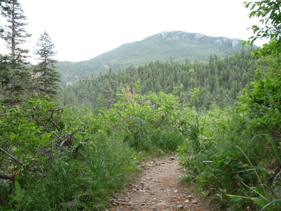
| At the intersection of Summit Trail and Meadows Trail was a welcome bench - with a view. |
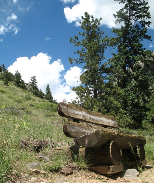
| The view |

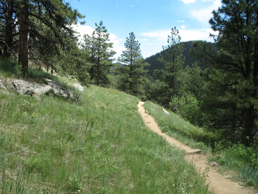
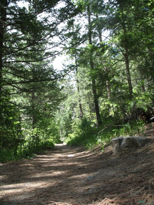
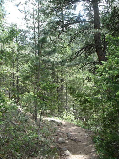
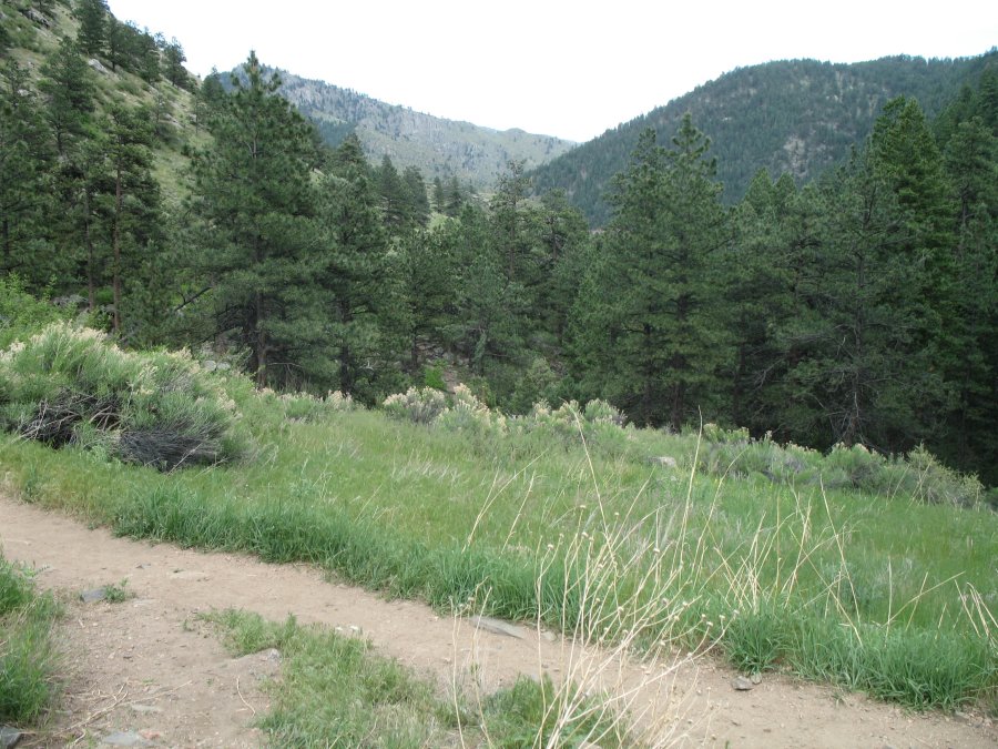
| A level, flat, smooth section of trail - comfortable for the feet. |
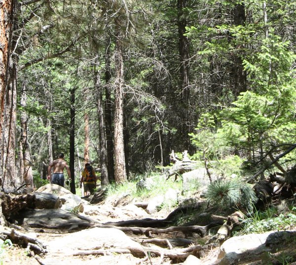
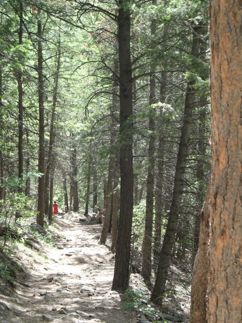
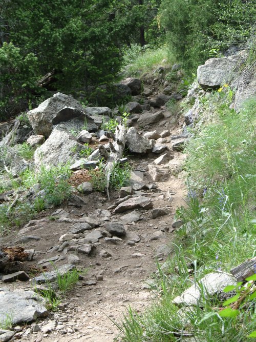
| The trail was BUSY on this nice Sunday. |
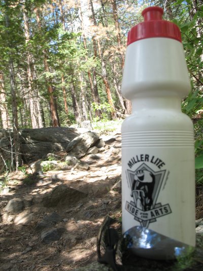
| Miller Lite Ride for the Arts bike ride several years back - Milwaukee WI with Glenn |
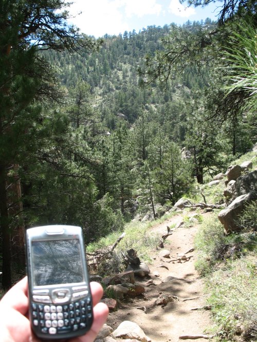
| Cell phone in pocket (Verizon) and I'm well into the trail - and it rings! No bars listed. The connection was sketchy - but serviceable. |
| More cacti |
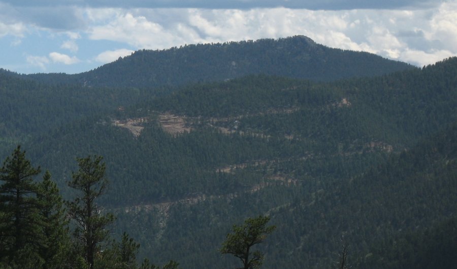
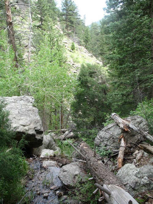
| I didn't expect to see any road cuts, but there was one, out in the distance to the south. |
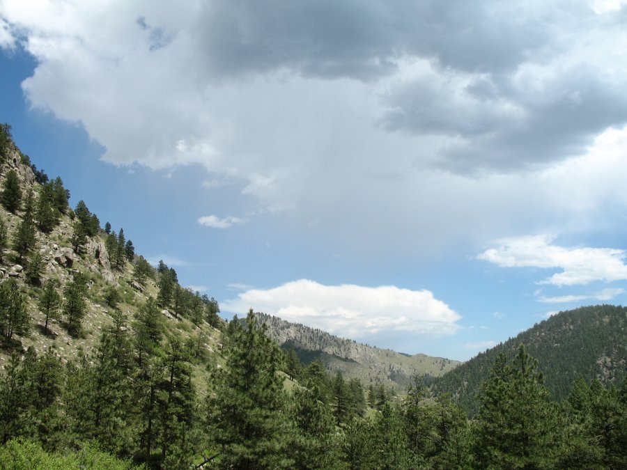
| Out to the west - darker clouds starting to boil on this warm day. My turn around point. A comfortable picnic area to kick back, enjoy the sights, and chat with other hikers. |
| Heading back - hikers ahead. From the story of Chris Vigil, above, the two in front of me commented that their dog started to slip down a boulder, perhaps eight feet. Recovery ended up being an hour long process with leashes from other dog owners to lash up a length long enough to attach to the dog for an assist up the slope. |
| Bright green new growth |
| Recall the smooth, flat, level trail picture from above? A fair bit of the trail was like this. |
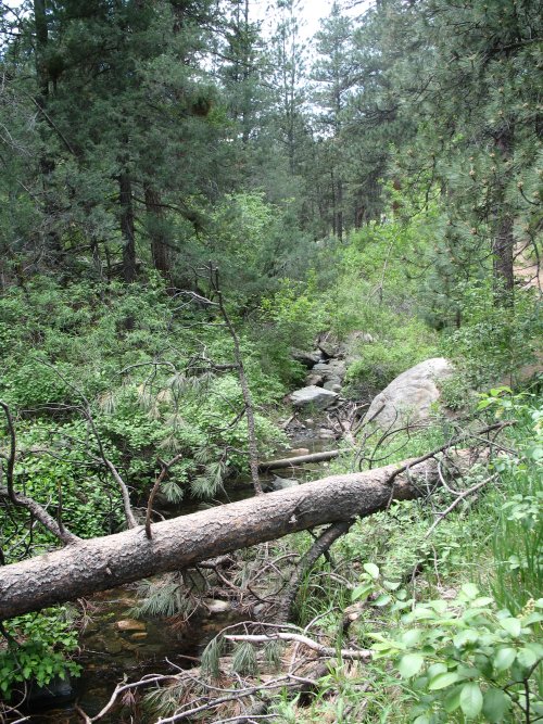
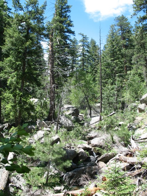
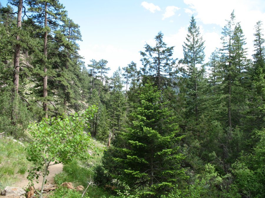
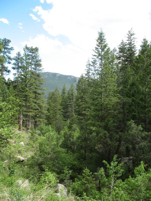
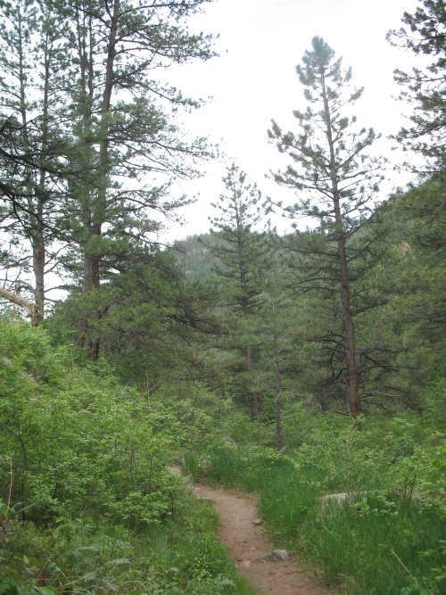
| Green trees - not much for pine bark beetle kill here. |
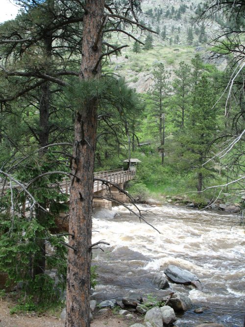
| Back
to the bridge - 5:14pm. Start was about four hours earlier. Travel
distance approx 4.4 miles - 1.1 miles / hour (slow - everyone was
passing me - including two guys who started and finished with me - but
went to the top). Elevation change - 5300 feet at the start, perhaps
7000 feet at my turnaround - 1700 feet up. Sears/Willis tower - street
level to observation deck 1350'. A nice day to be out exploring. Movie - assorted items JimWilliamson_net-2010-06-06-movie.wmv 1m 8sec - 24.5MB, WMV format |