Southern Utah trail
|
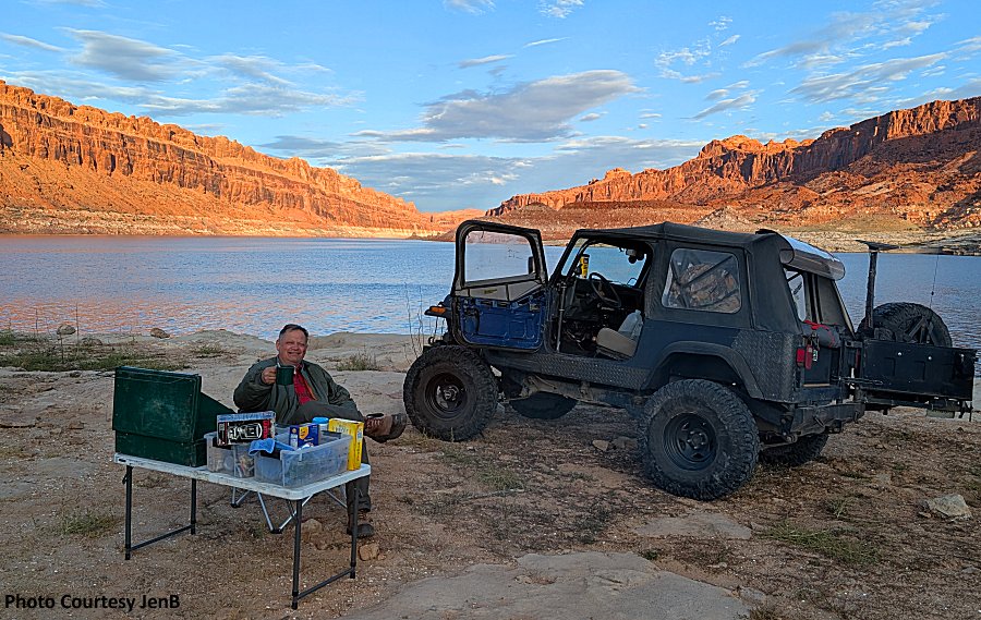
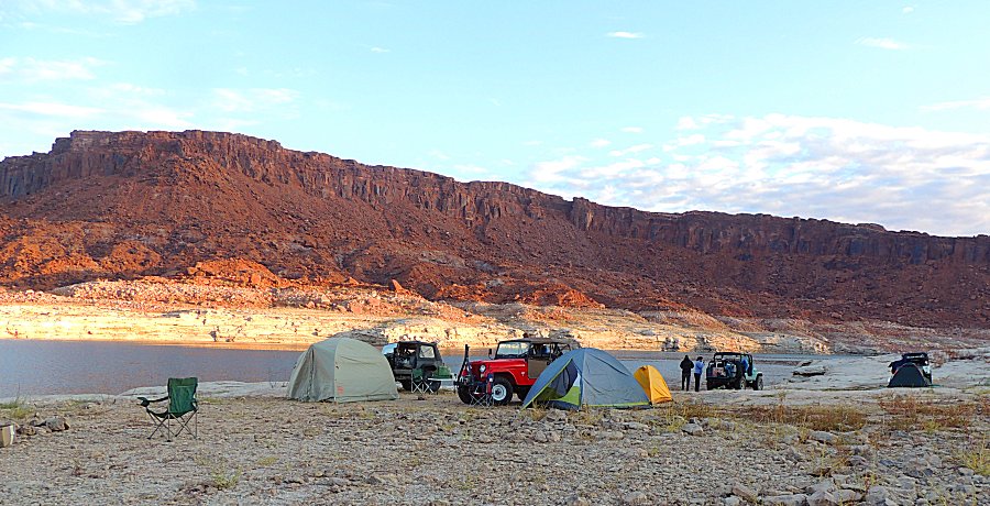
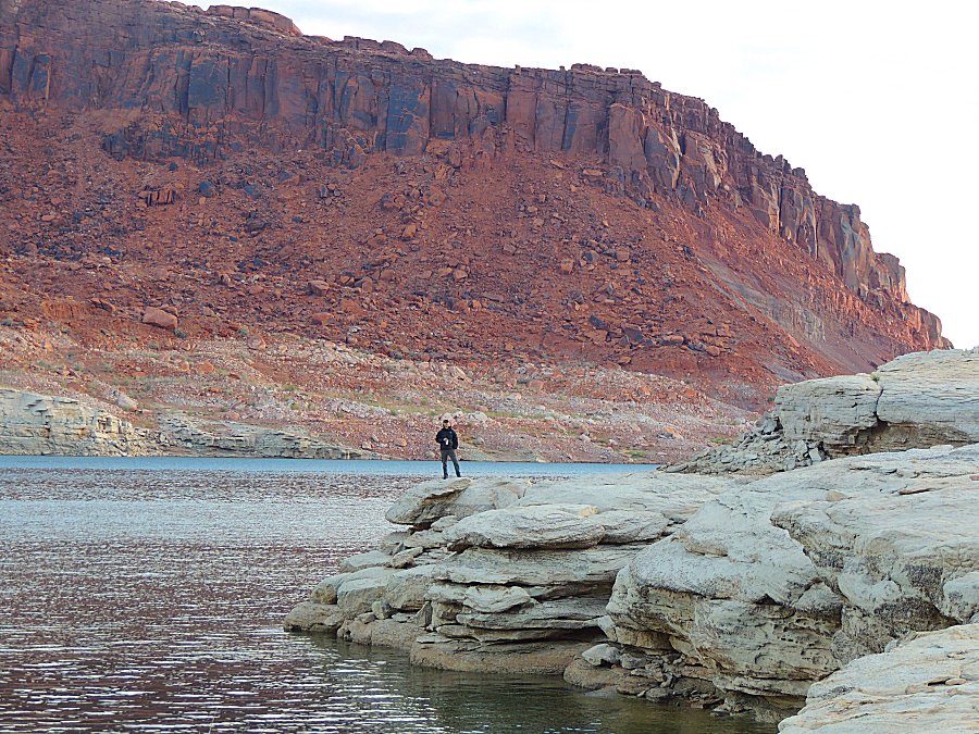
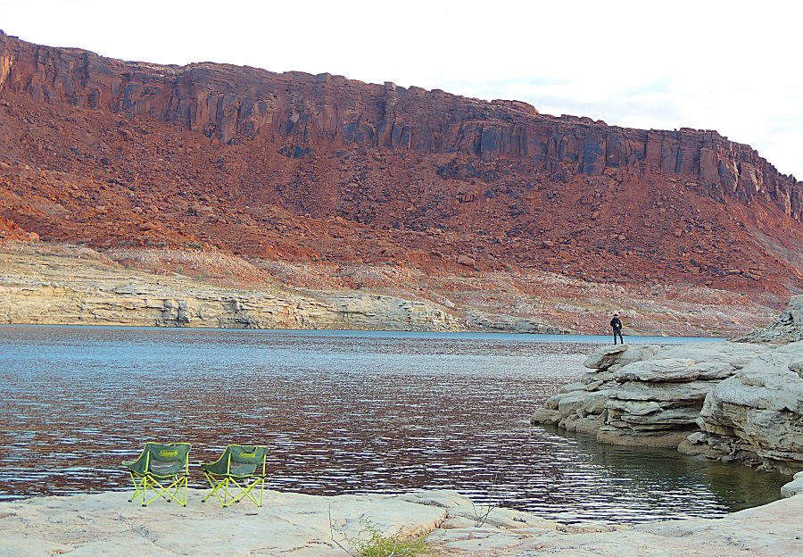
Wake up at the water's edge - nice scenery - and take a slow time packing for the return trip. |
|
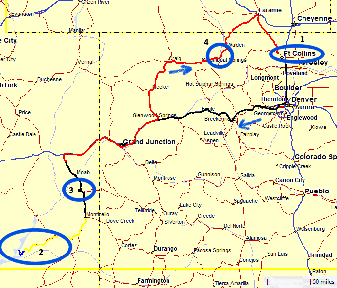
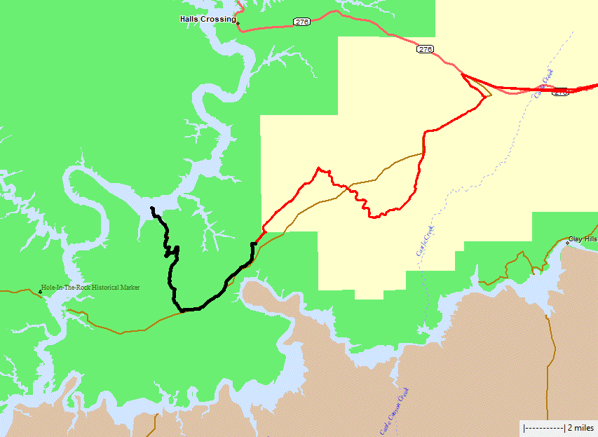
The
black route today will be very close to the black route the day prior -
we'll stop before the waterfall so not quite as long of a distance
traveled. |

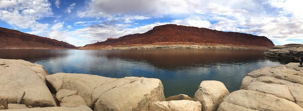
| Morning sun nicely coloring the rock. |
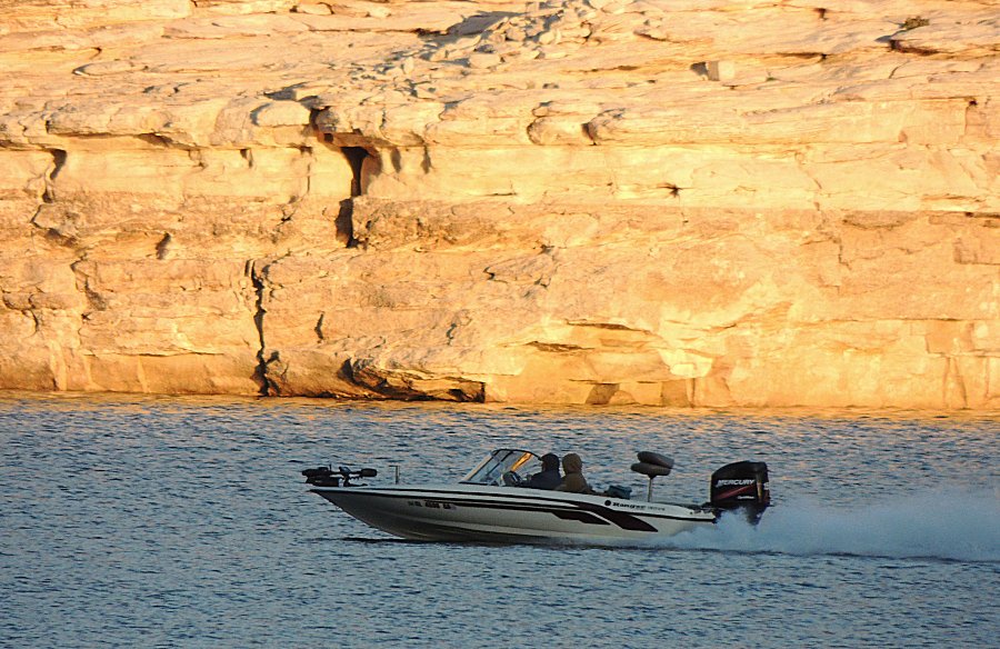
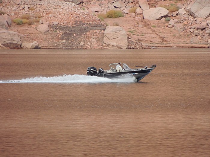
| Boaters are out |
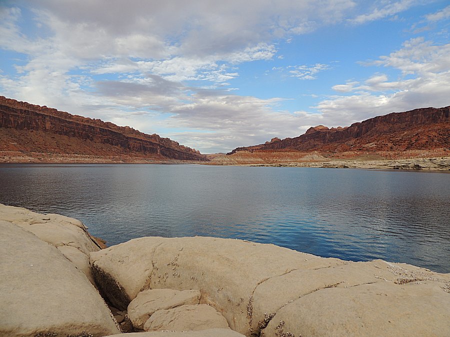
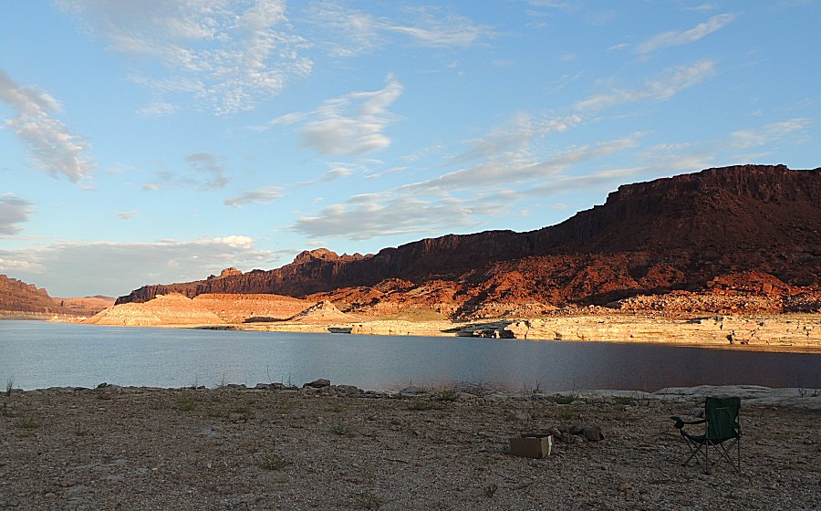
| Panorama Click for a larger size |
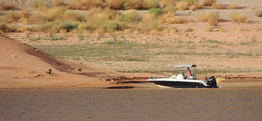
| This
boater, with a dog, had camped across the water. He was packed to leave
and perhaps asked the dog to stay. He backed the boat out a bit while
the dog sat and watched. |
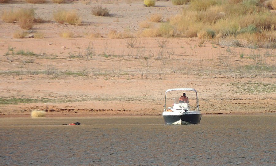
| Let's go! The dog's out for a swim to the boat |
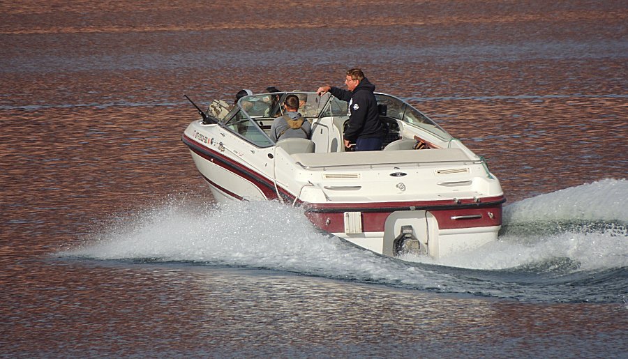
| It
looks like a group of hunters is getting ferried to hunting camp. That's a
rifle poking over the left edge of the boat. Now my mind is wondering -
where are they going and what game might they be hunting? |
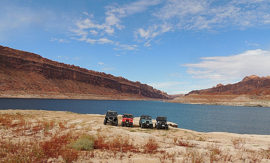
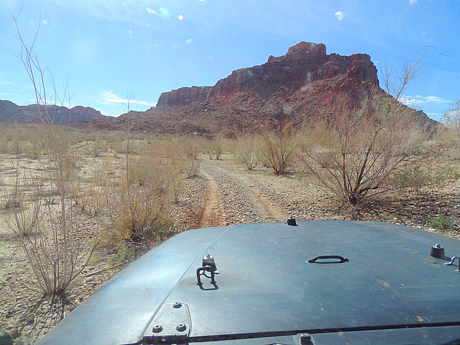
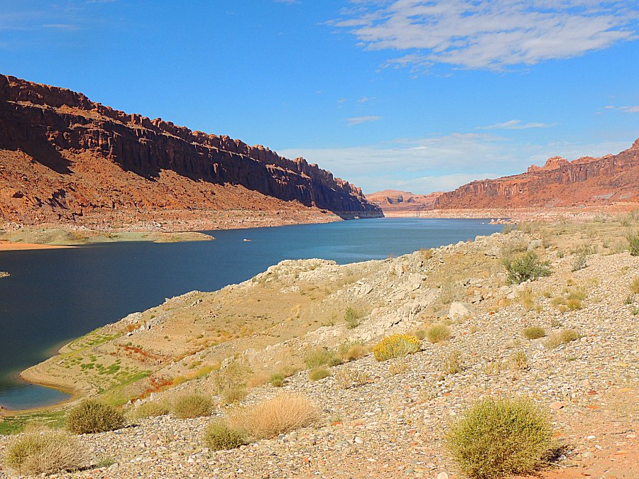
| On the trail again... Full backtrack - we know what to expect. |
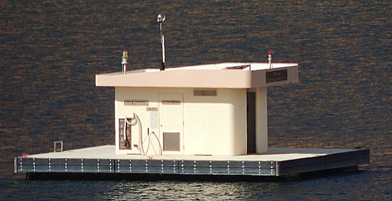
| Floating "outhouse" There are several of these on the water. |
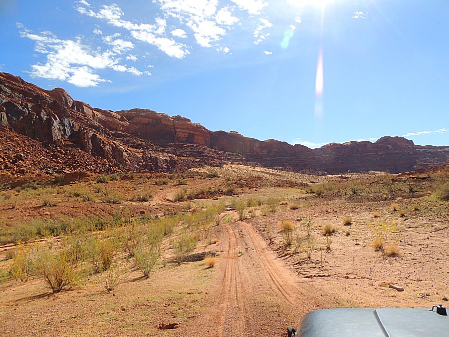
| Cowpath |
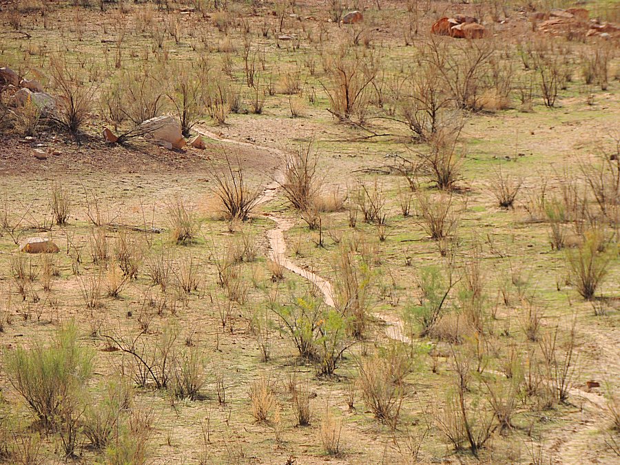
| More cattle paths in the soil. Vegitation seems rather sparce for this to be good grazing. |
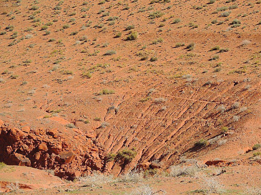
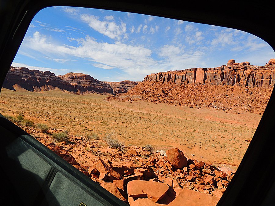
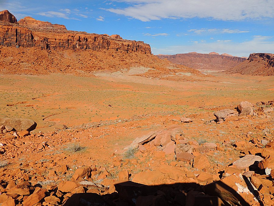
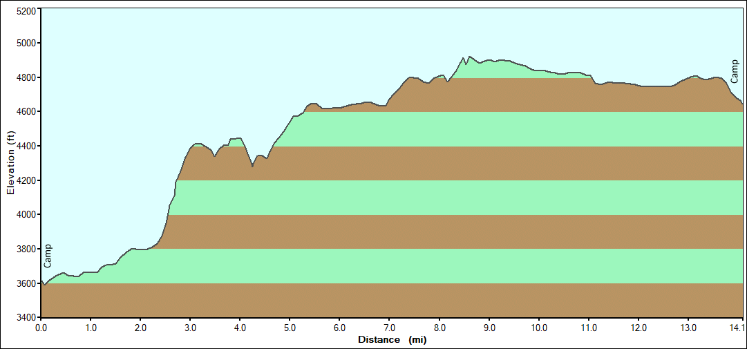
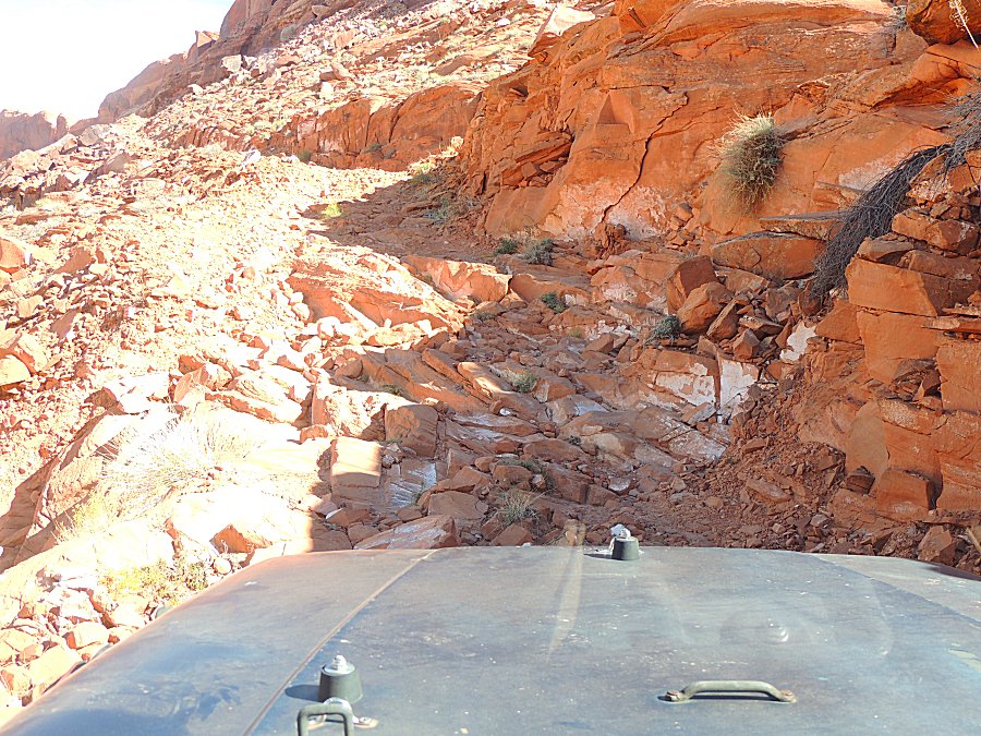
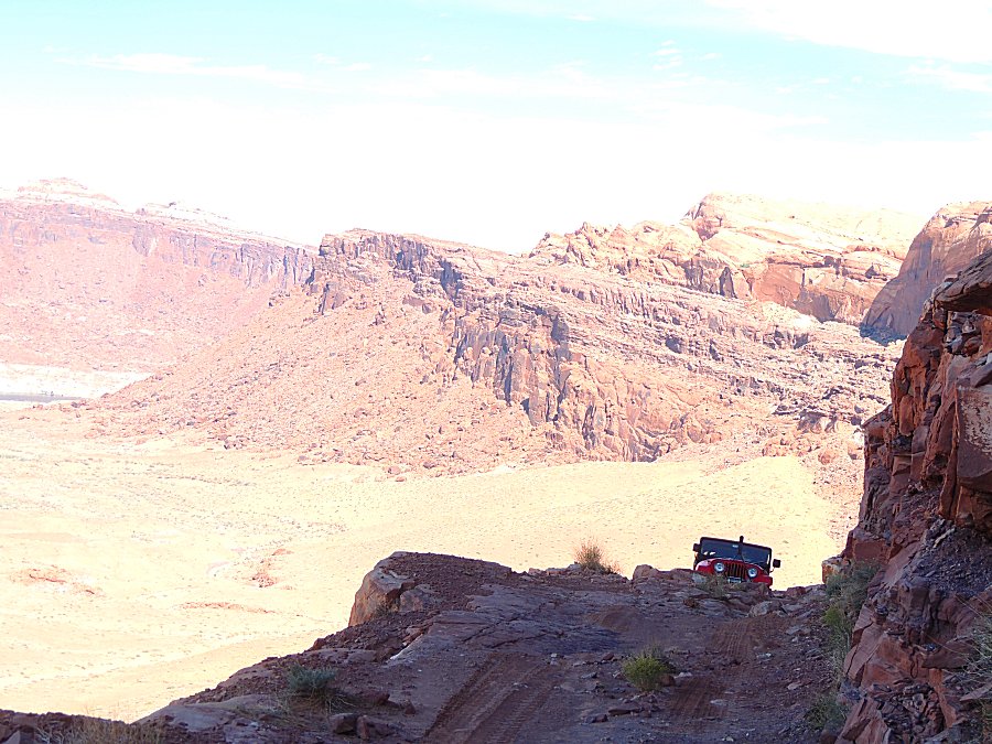
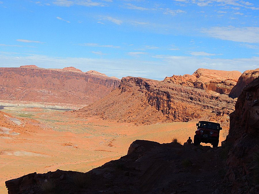
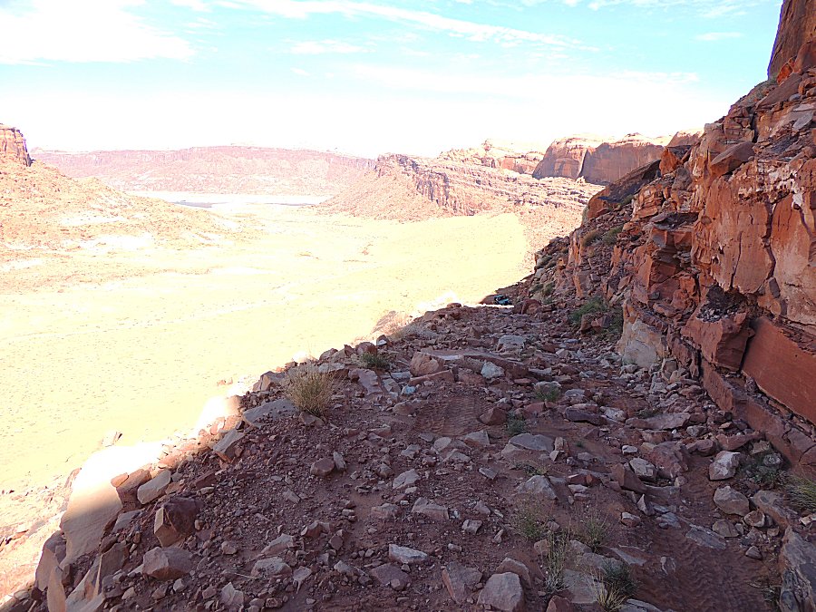
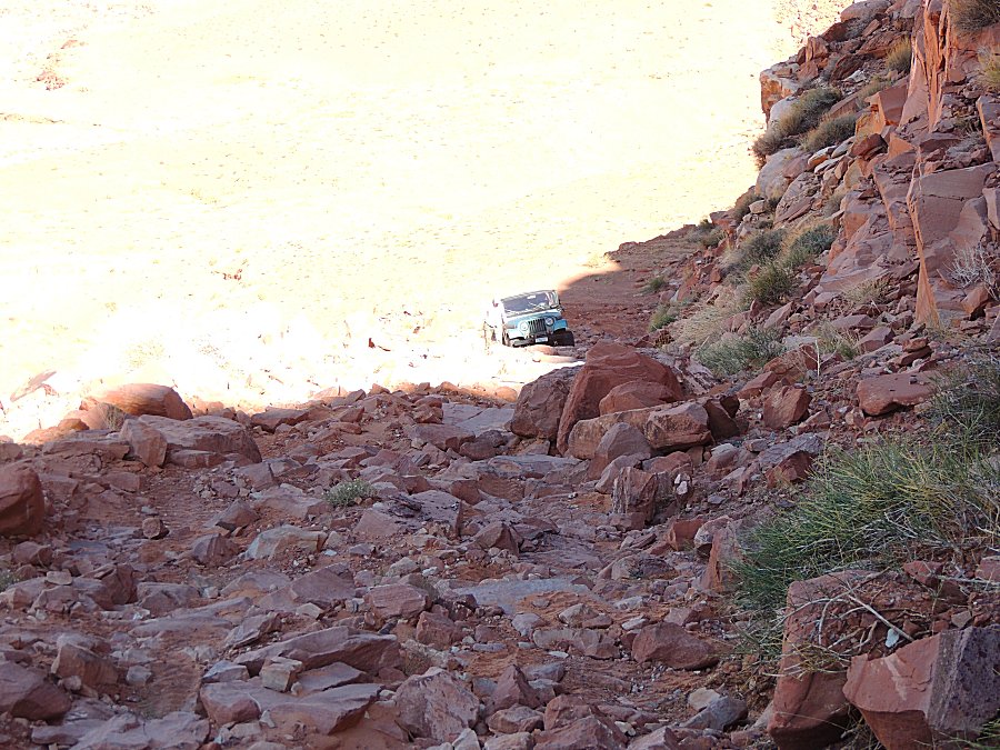
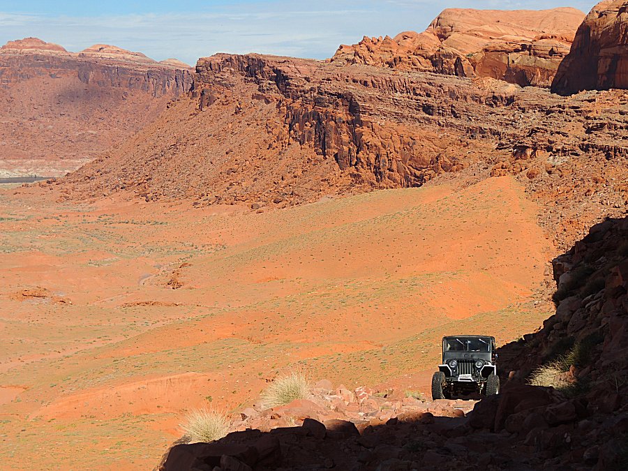
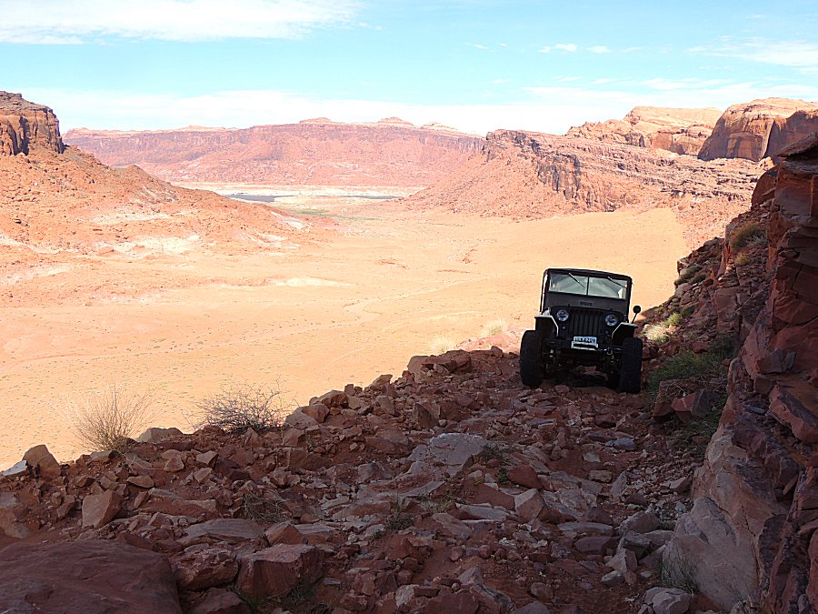
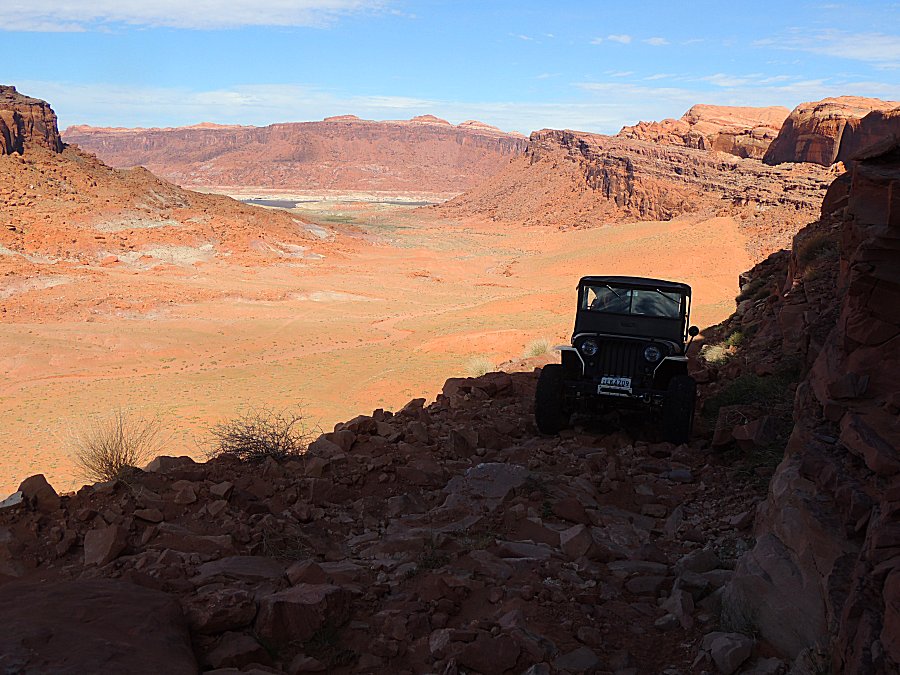
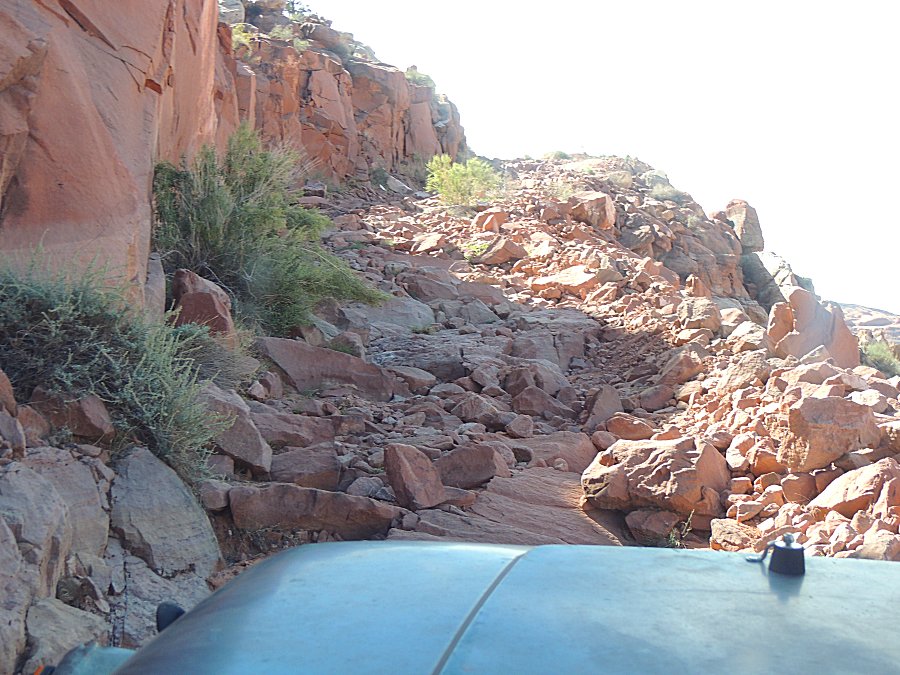
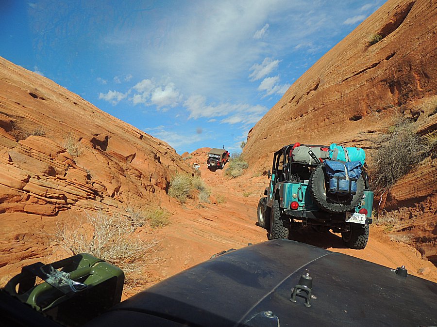
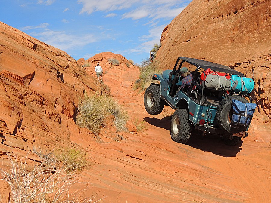
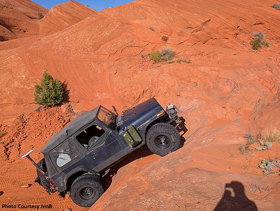
| That chunky section of trail. Going up will be a tad more difficult than going down. |
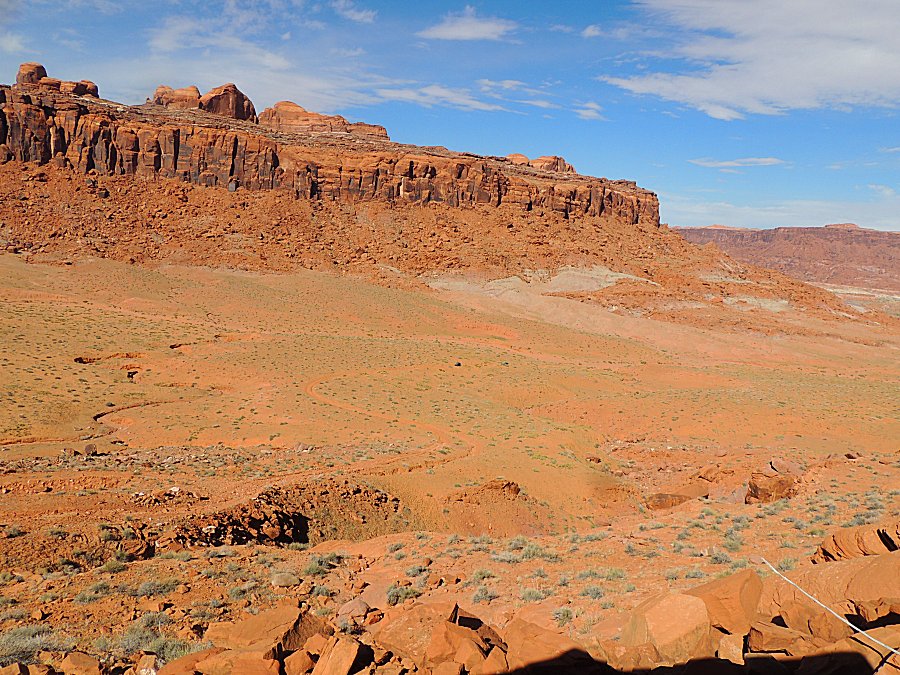
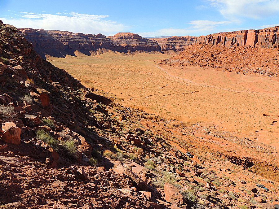
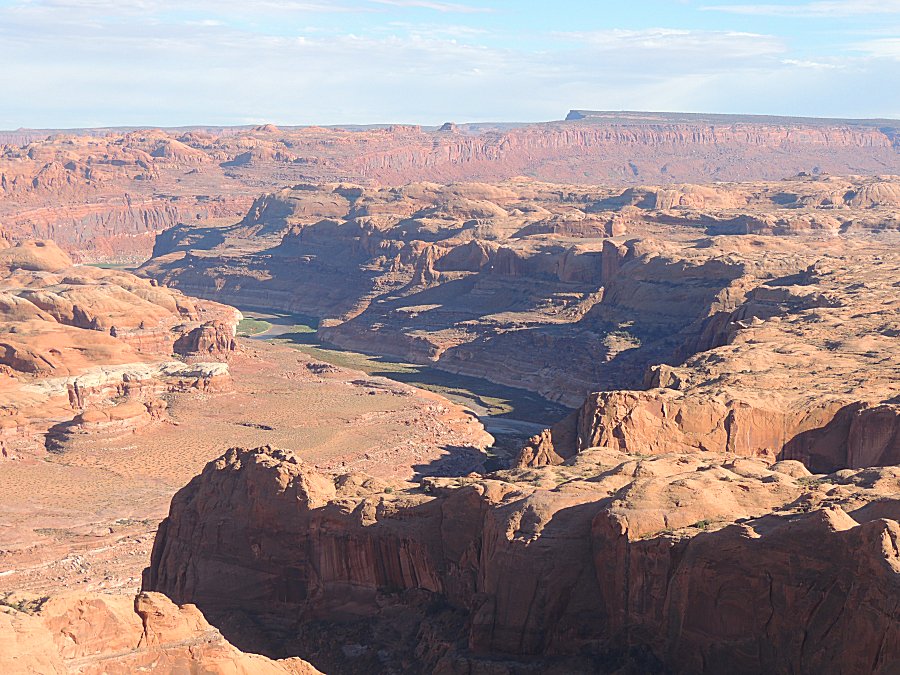
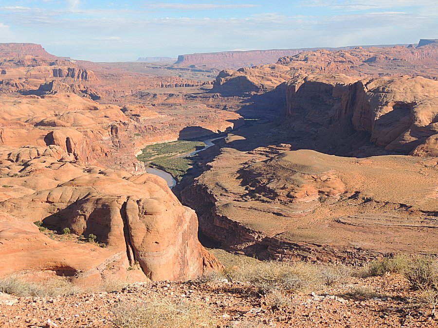
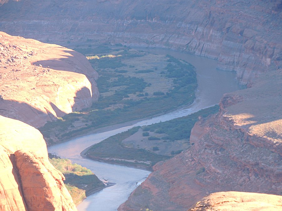
| This used to be the Colorado River's path - now dry. |
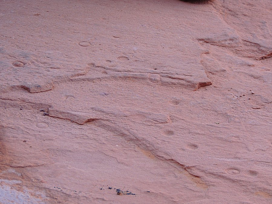
| How are these divots and circles marks made? |
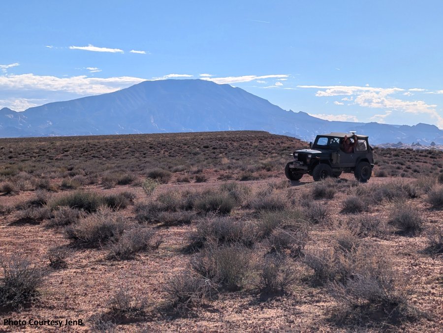
| Set the gear, set the hand throttle - and give steering guidance while the jeep moves along rarely getting hung up. |
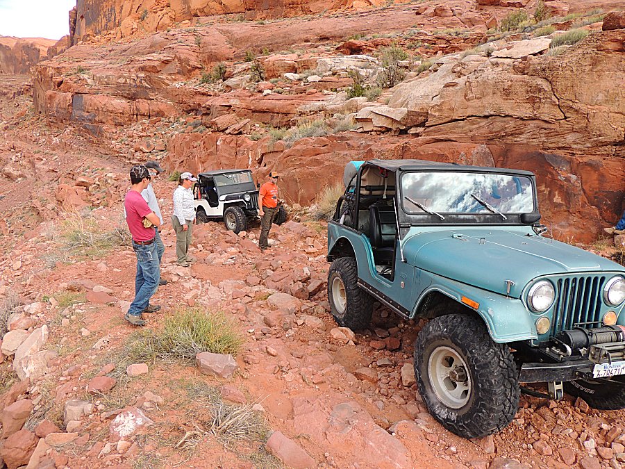
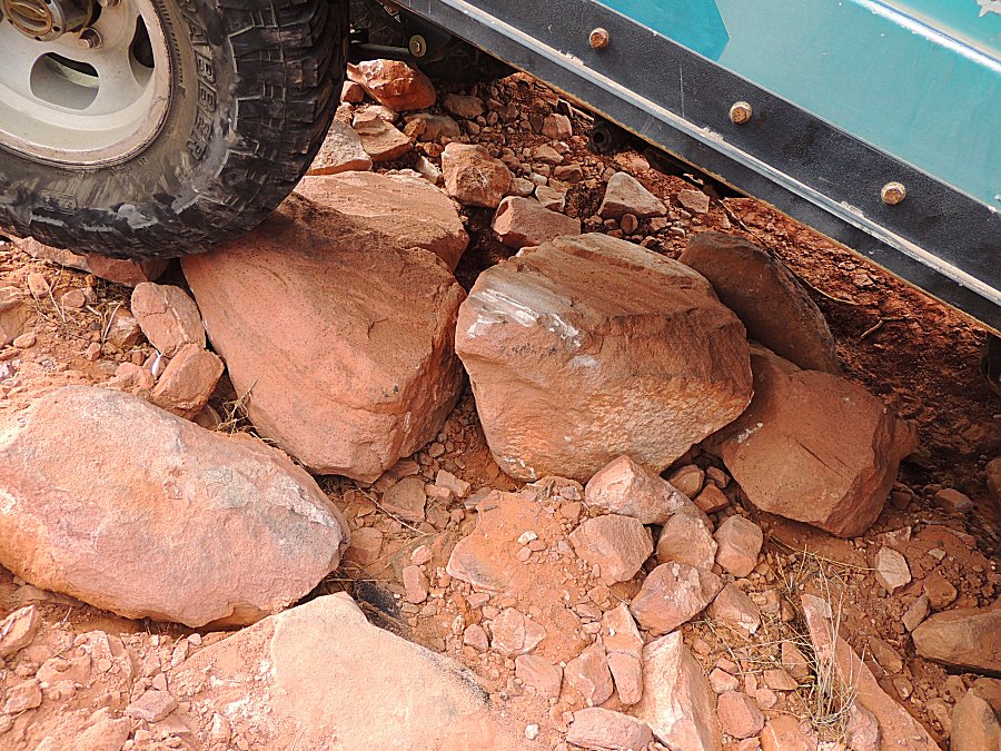
| White marks on rock means something hard - metal - came in contact. Often, forward motion ceases. |
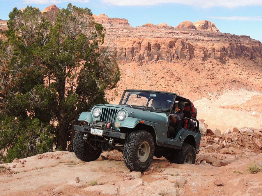
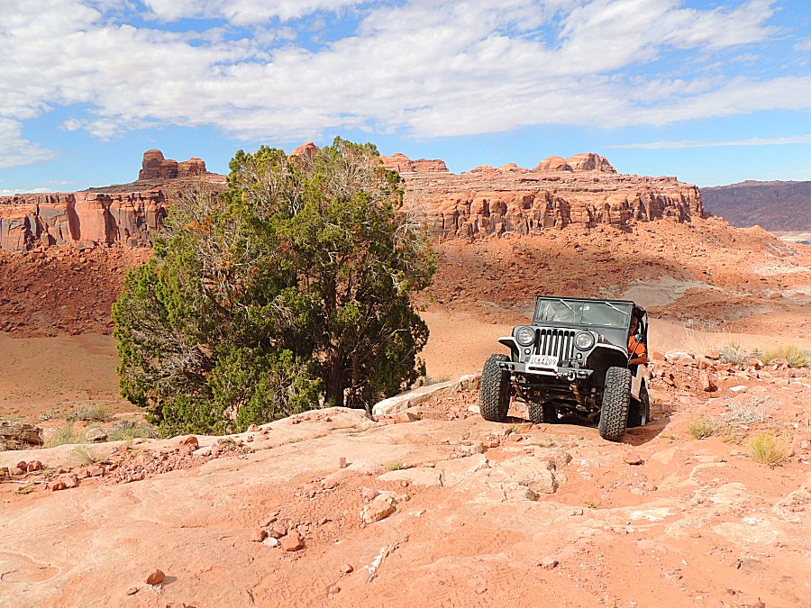
| In the valley are the witch's cauldrons. |
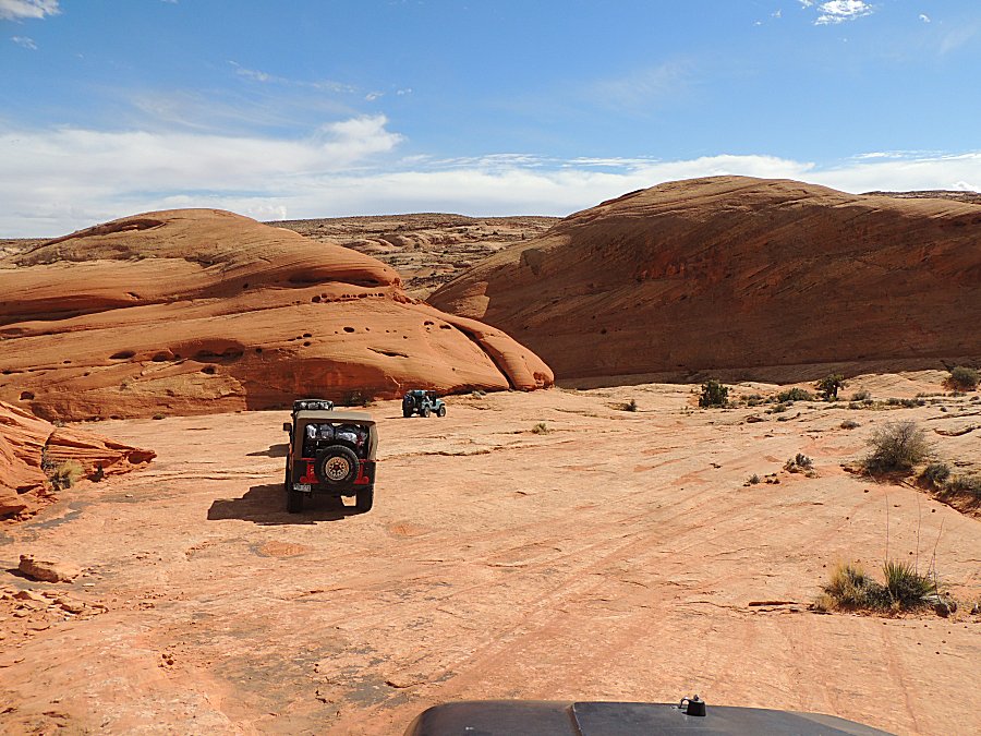
| Making our way around'm. |
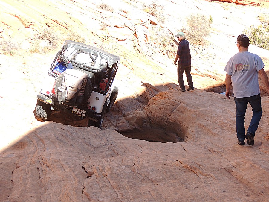
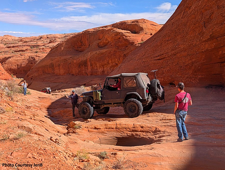
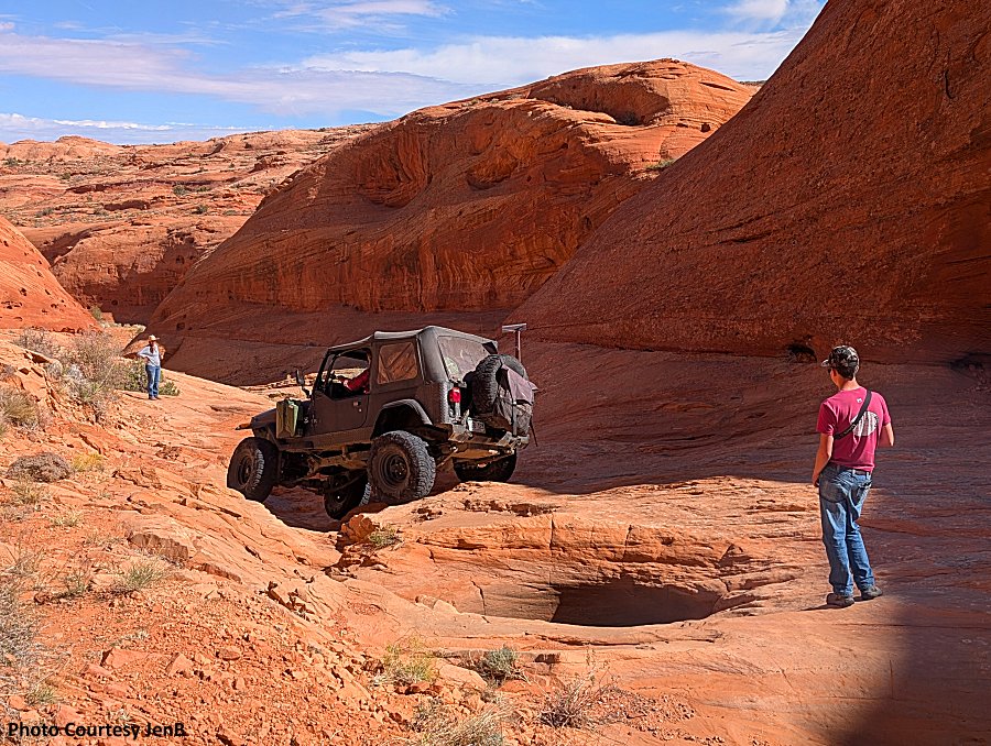
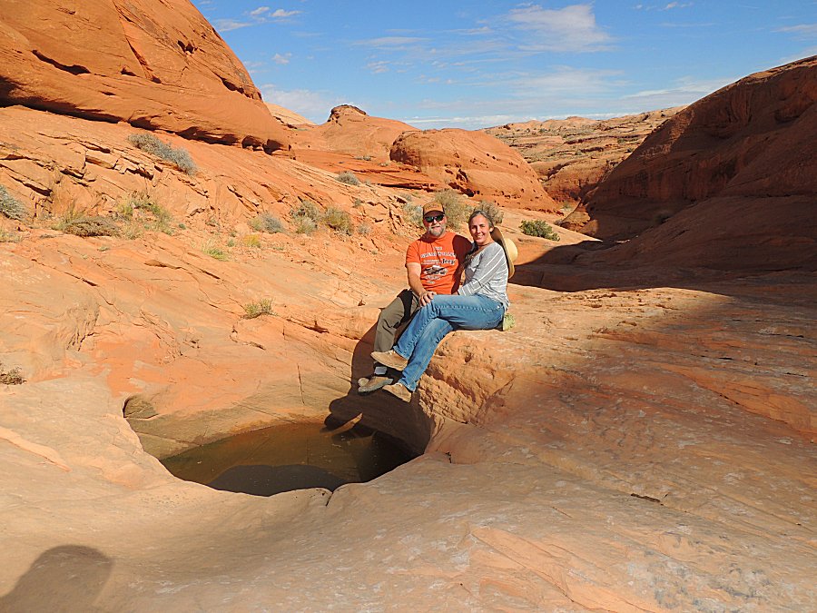
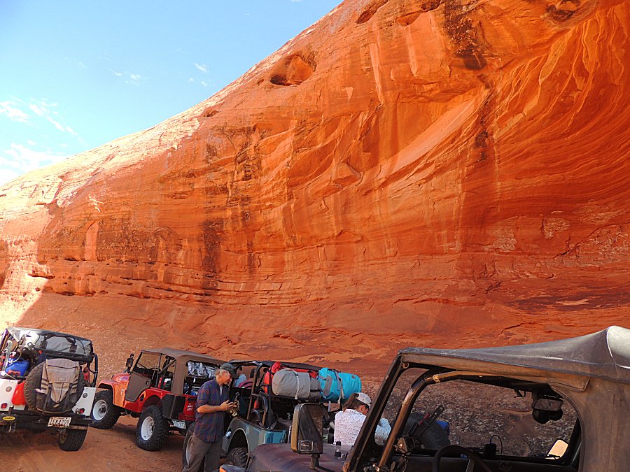
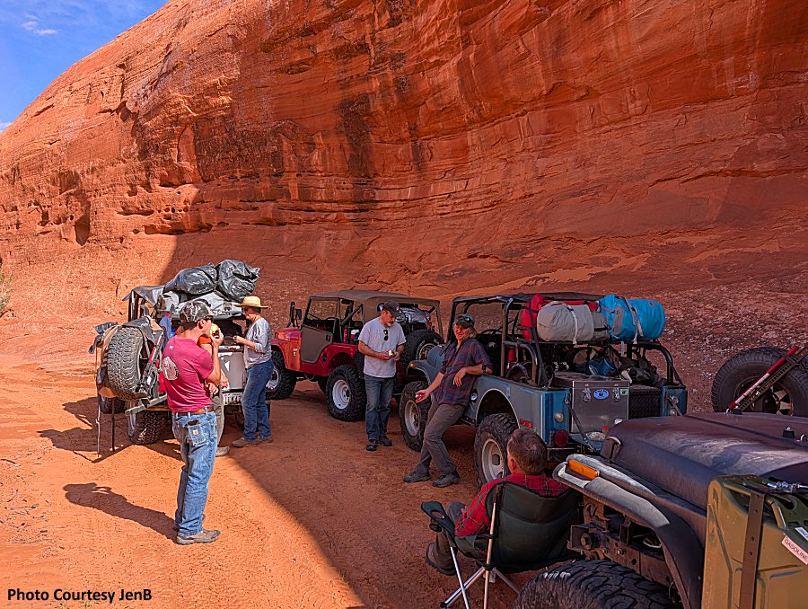
| A bit of shade and a nice time for lunch |
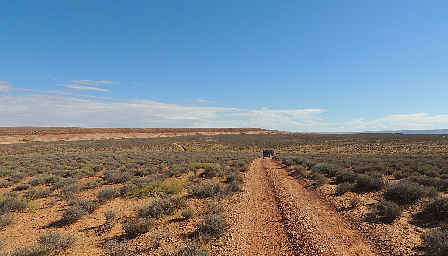
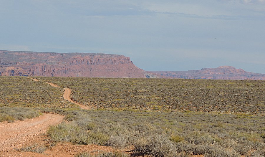
| Up high with smooth trail we have switched over to 2-Hi gearing for faster travel. |
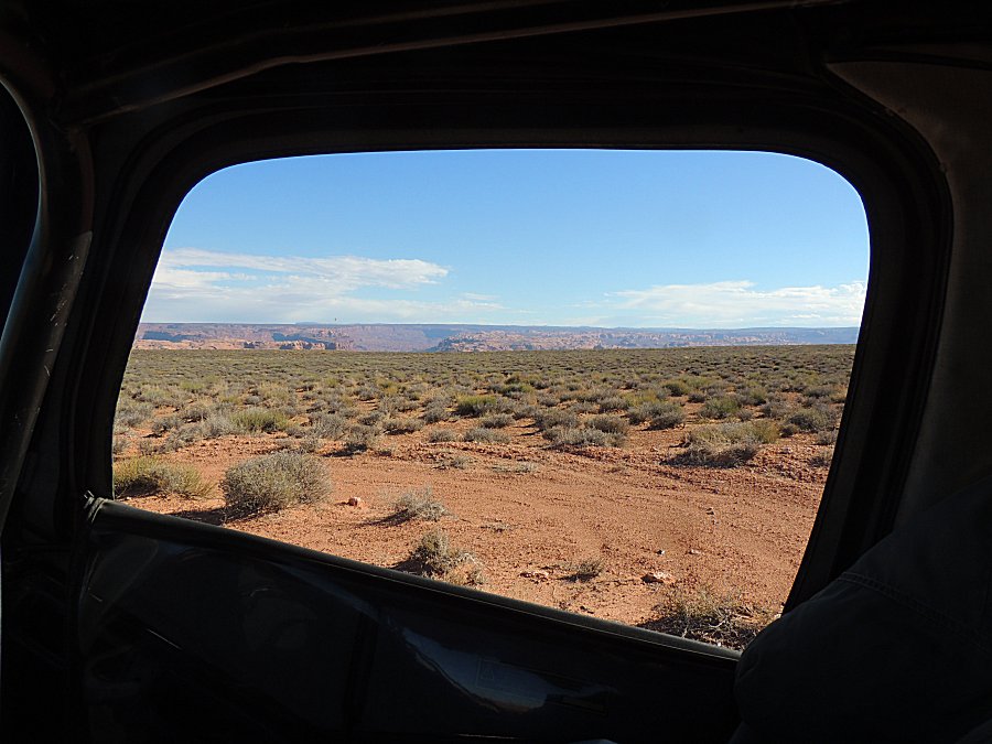
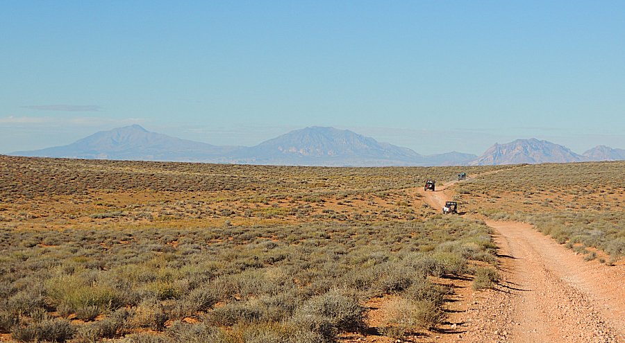
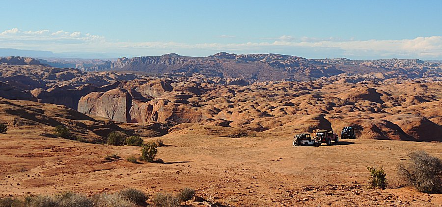
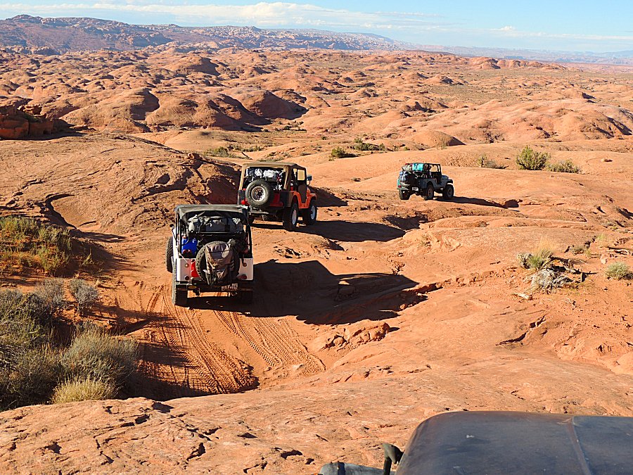
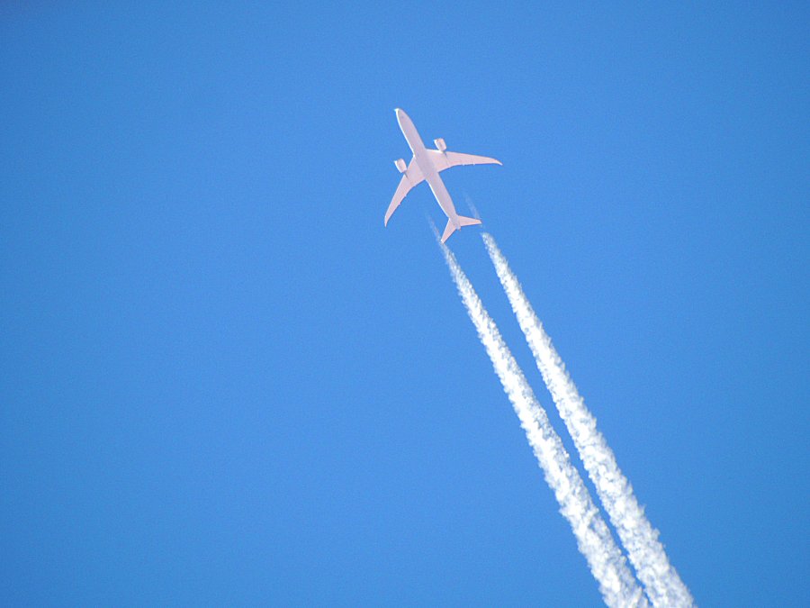
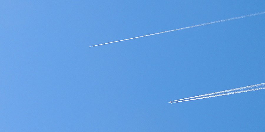
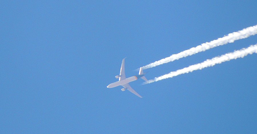
| Let's race! The small, single engine can probably run faster than the commercial jet. |
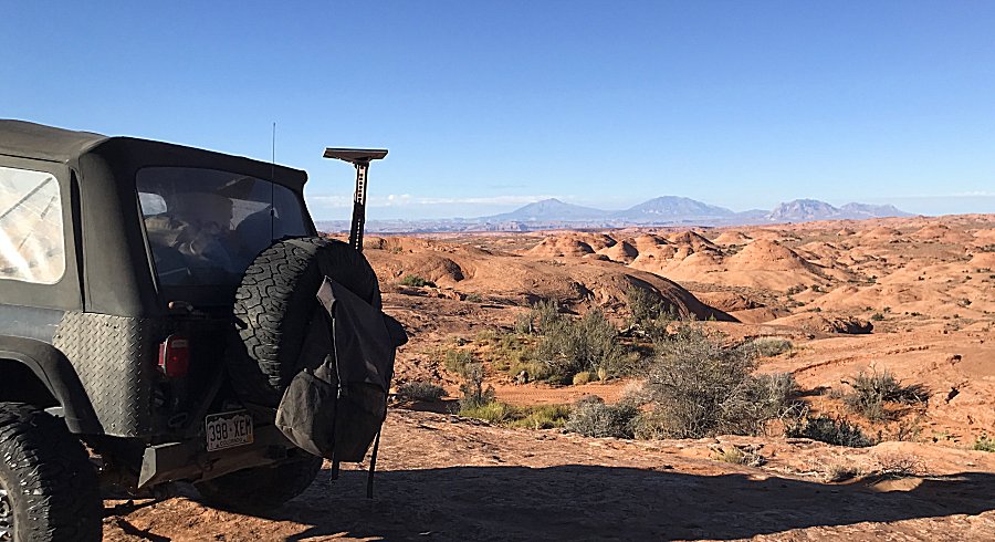
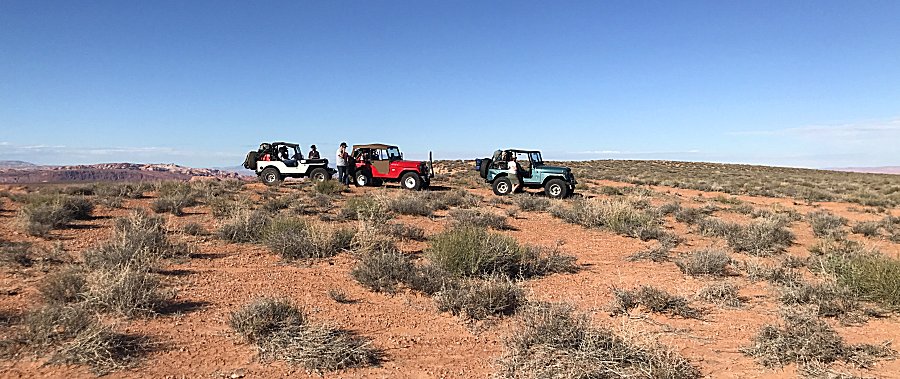
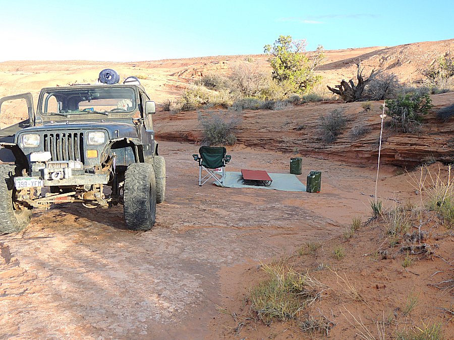
| Do I camp w/o a tent - folks are toying with the possibility - no rain is the needed component. |
| And then we see clouds. |
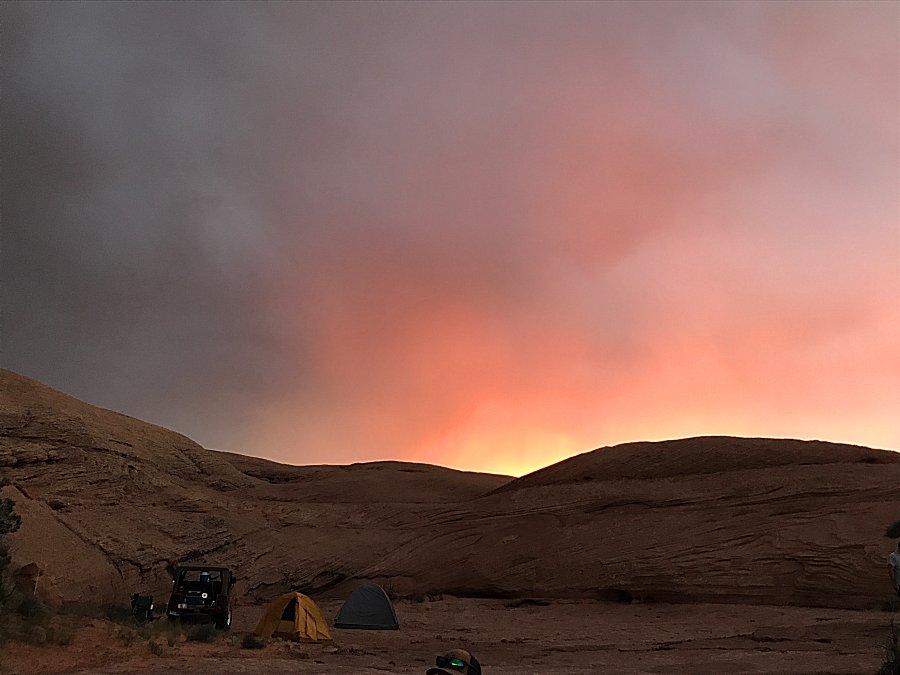
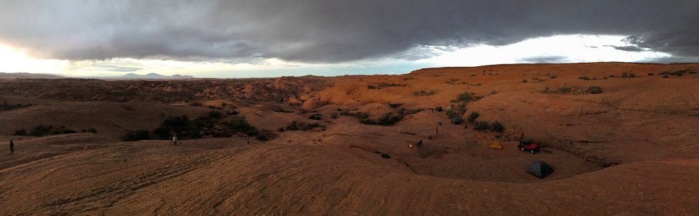
| Panorama Click for a larger size This is where internet access is appreciated (Navajo Mountain is possibly close enough for service). Starlink is a guaranteed source. Checking the weather. Answer - put up the tents as rain looks highly likely (it was 100% - a nice thunderstorm to boot) |
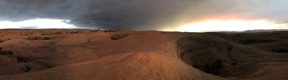
| Panorama Click for a larger size |