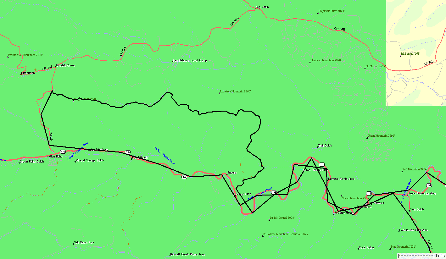
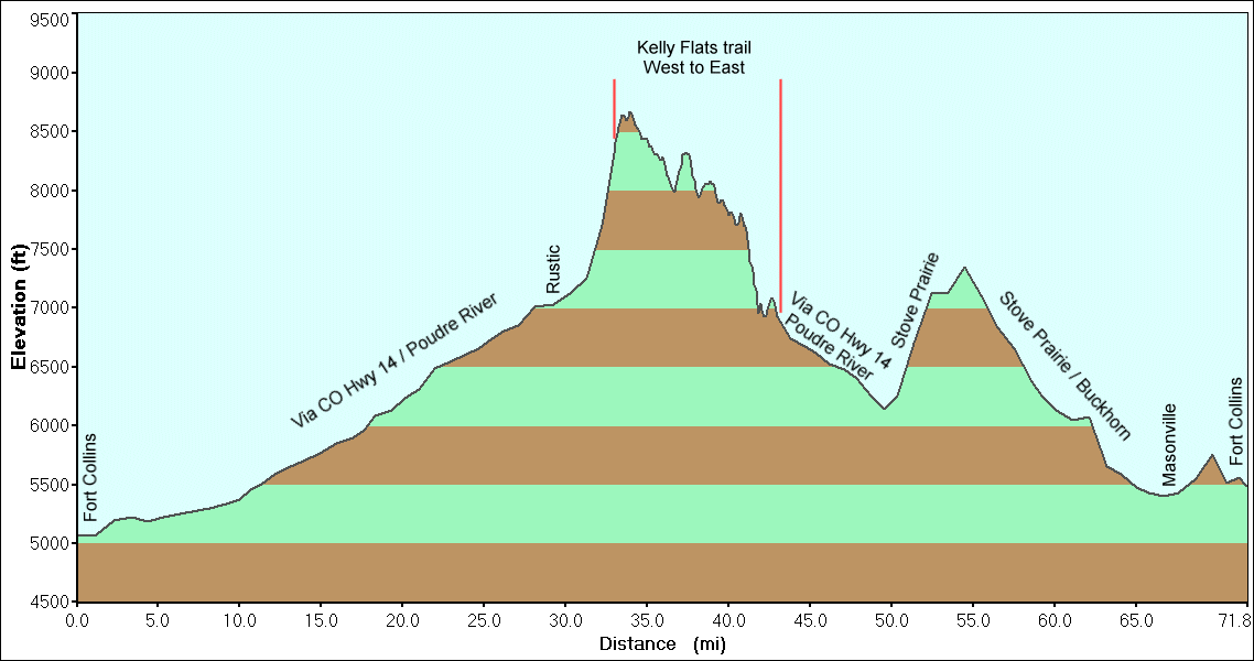
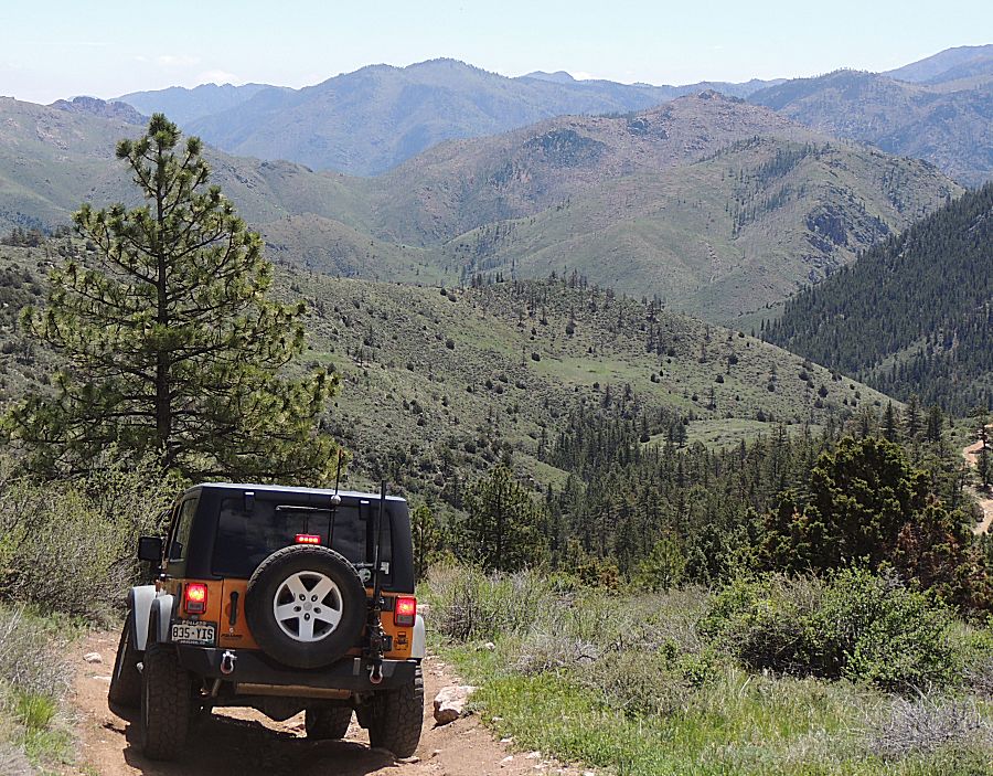
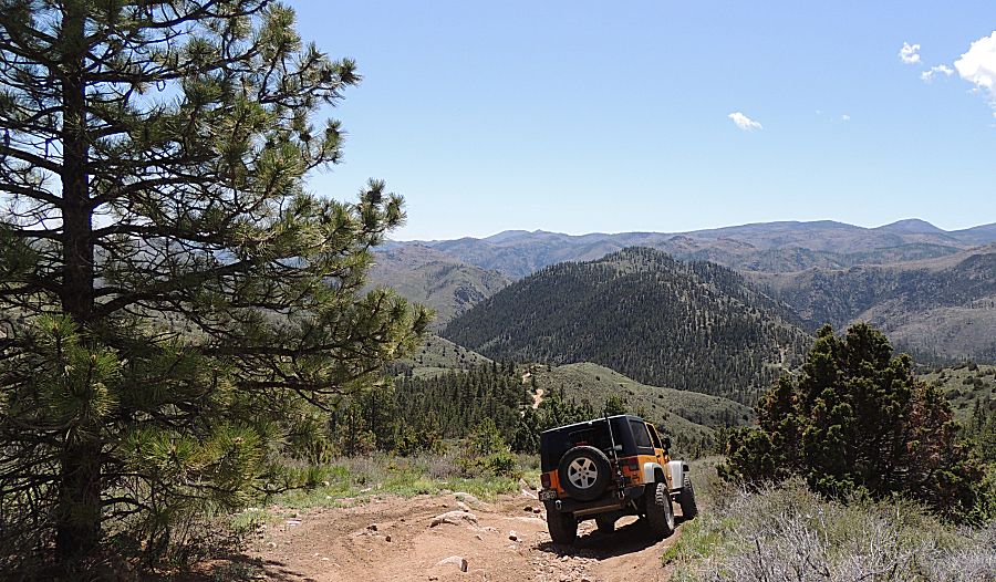
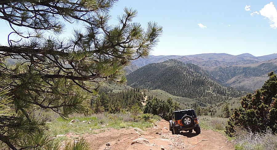
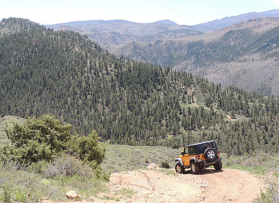
Kelly Flats - West to East - Memorial Day Weekend
The Jeep's 200,000 Mile odometer moment (not well documented)
|
Tom,
from the 4x4 group, and I met up at Ted's Place about 9a this morning.
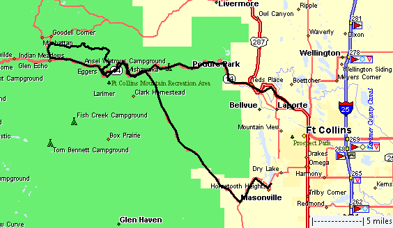
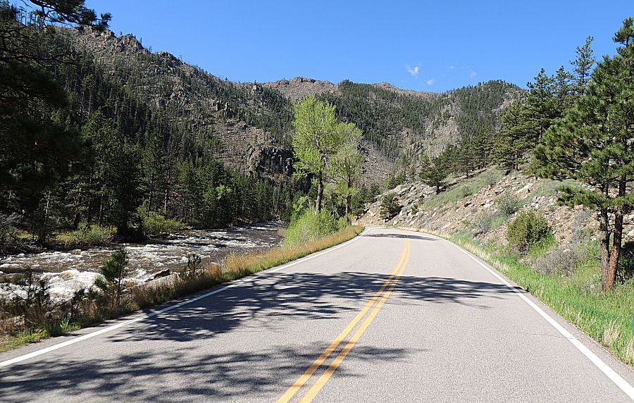
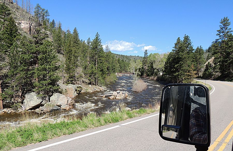
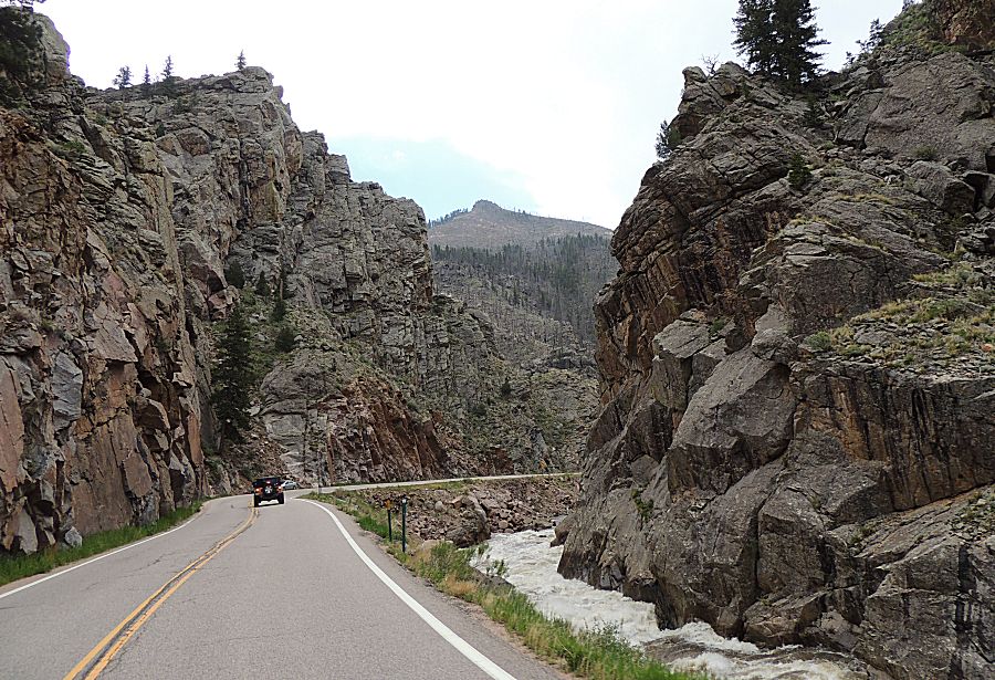
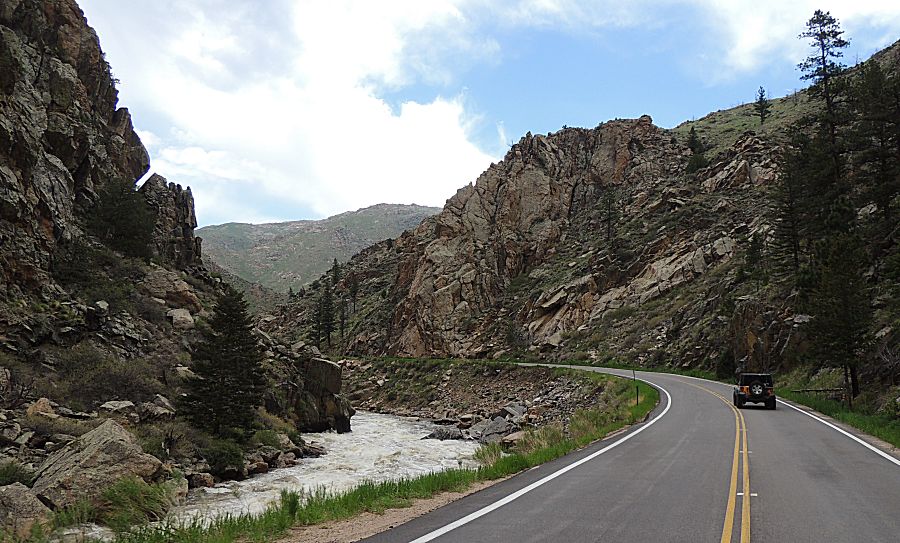
We traveled 30 miles up the Podure Canyon. No rafters in the water
today - and the water's running. The highway was void of traffic and
what little traffic - all of us played nice - using pullouts for
slower/faster traffic. We pulled over for faster and slower pulled
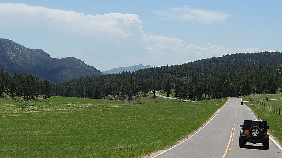
over for us - a rare event. Just north of Rustic we stopped to air down the tires at the Sevenmile (creek) Road trailhead. Up the valley we saw a pickup and 4-place side-by-side with Mom / Dad and kids - the kids were excided for the day out - having fun. The trail was unusually quiet. A obstacle called "The Chutes" which is often a spectator area - not a soul to be found. Tom and I kept moving east and at the intersection for the Heart Attack Hill bypass there was a small bit of traffic. A five minute wait and we were moving to the eastern trailhead. Back out to the highway - the clouds were getting a bit dark - but they were spotty. Enough drops to cover the windshield but not enough for the wipers. I was not concerned about getting wet tough the doors are off for the weekend. It was a short, but nicely enjoyable, day. Summer in the mountains is getting moving. |
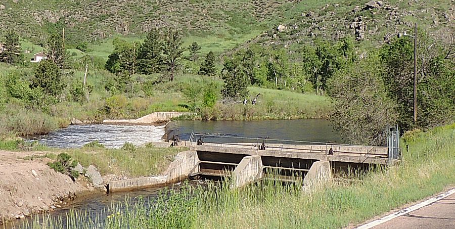
| Just
entering the Podure Canyon - a diversion or siphon to divert the river
into a water management ditch for farm irrigation use. |
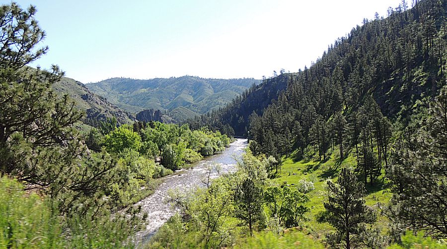
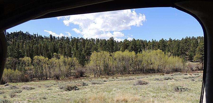
| Much of the green cover is vibrant in color. |
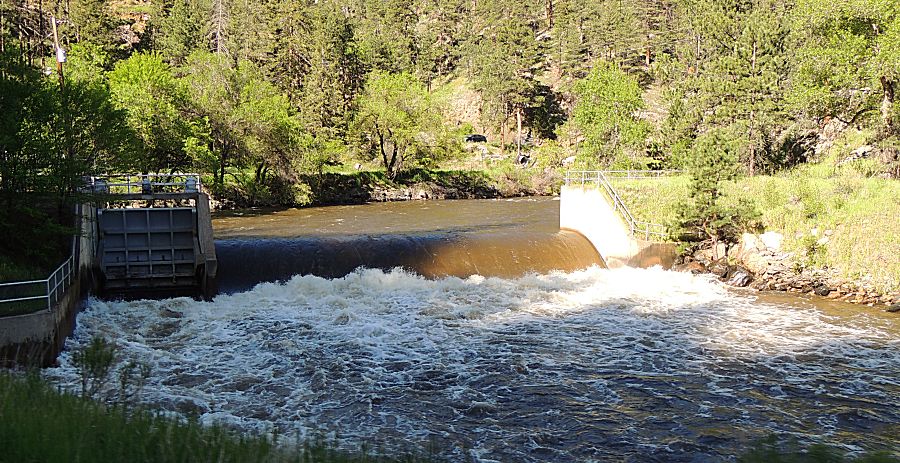
| A
bit higher up - the second siphon. This diversion was a bit more
difficult to construct as a couple tunnels needed to be constructed. On
the second tunnel, the diverted river water flows under the river and
then back up - from one mountain on one side of the river, under the
river, and then up into the mountain on the other side of the river -
and out to farmland. GPS Coords start of first tunnel: 40.691568, -105.254697 end of first tunnel: 40.689473, -105.238345 start of second tunnel: 40.689440, -105.237867 End of second tunnel: 40.684336, -105.218984 |
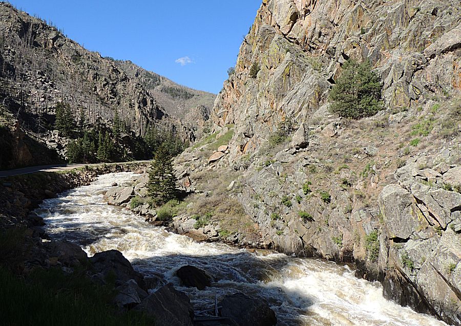
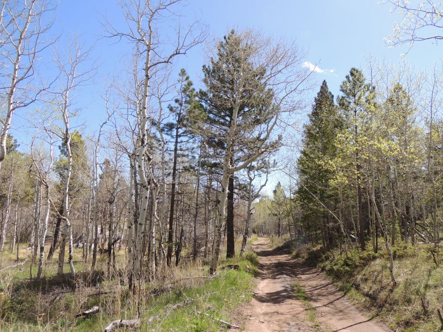
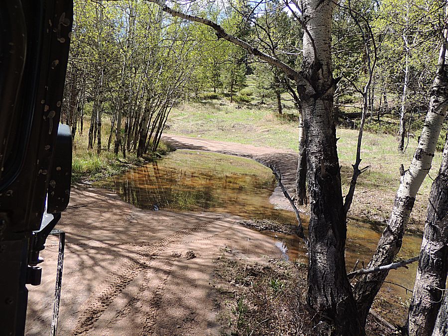
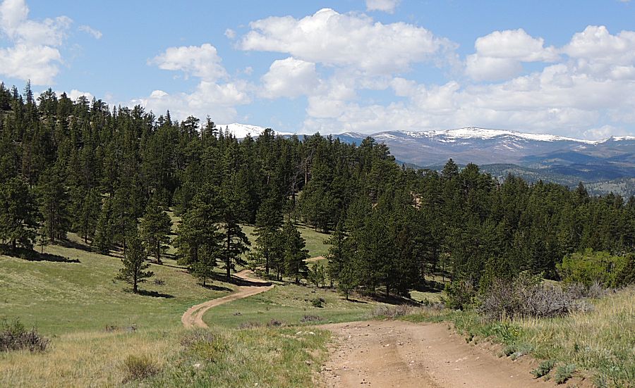
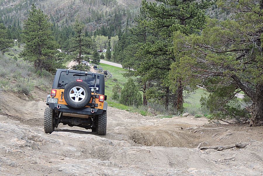
| On the trail - western-ish end. |
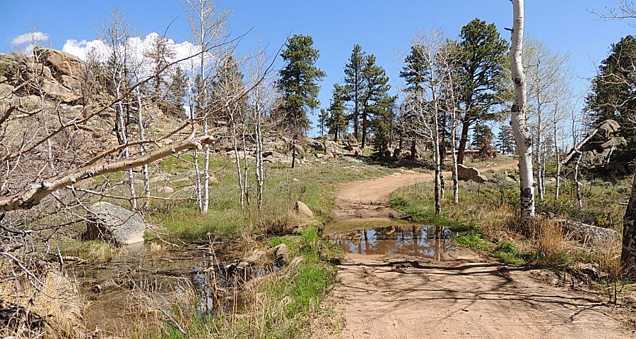
| How deep is it? (only a foot deep) |
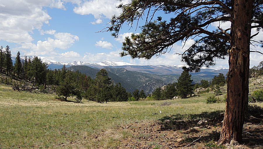
| The snowy peaks are near the northern boundary of Rocky Mountain National Park. |
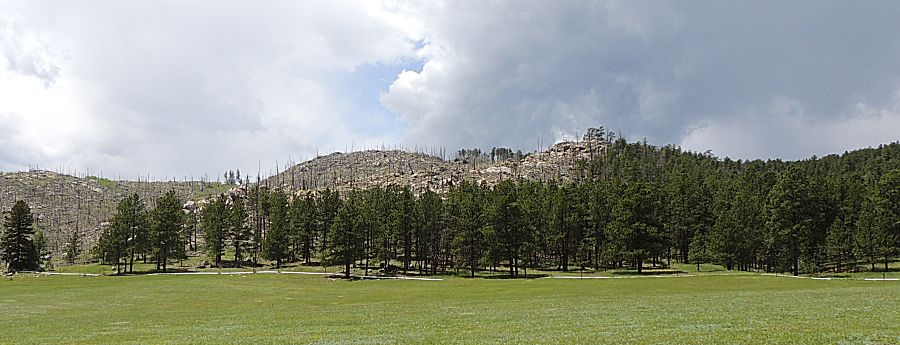
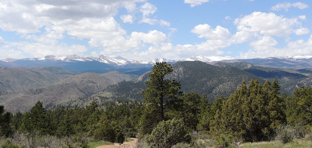
| Panorama Click for a larger size |
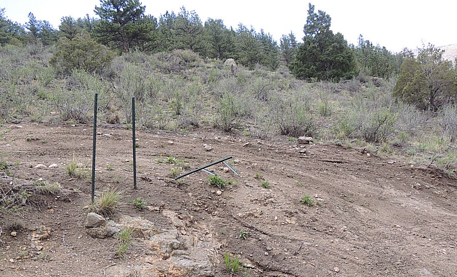
| People going off-trail - running over posts that tell them to stay out. |
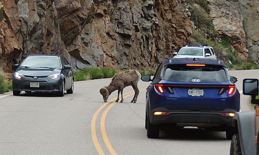
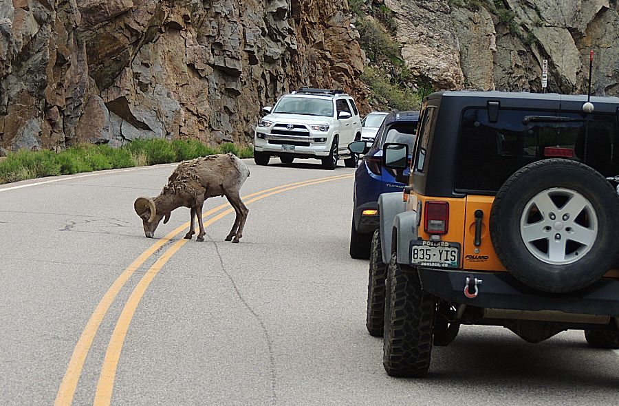
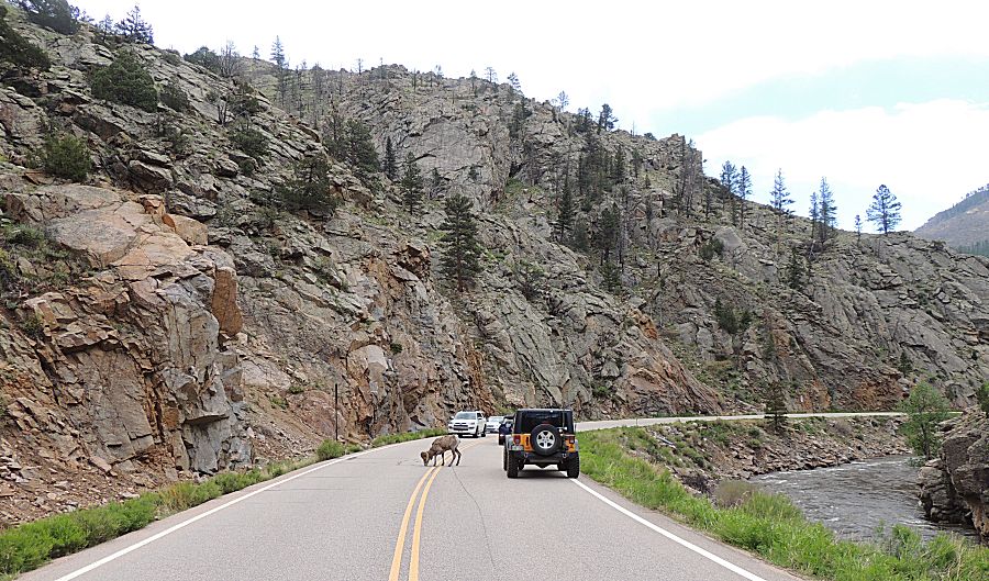
| Colorado Traffic Jam I think it was licking road salt from a crack in the road. It was rather content and paid no bother to the cars slowly moving past. Right about here the Jeep rolled past 200,000 miles. No scenic photo of the event. I knew it was getting close and when I headed out this morning I looked at the odometer and thought - I need to remember as the miles get close - and I forgot. Not a significant issue - but something fun. |
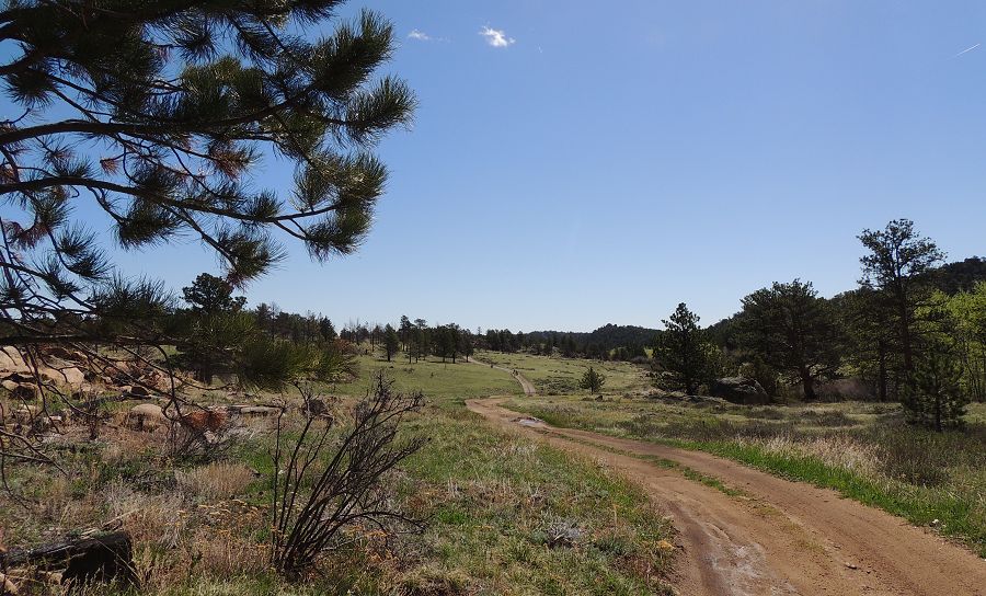
| I well enjoy a vibrant carpet of green |
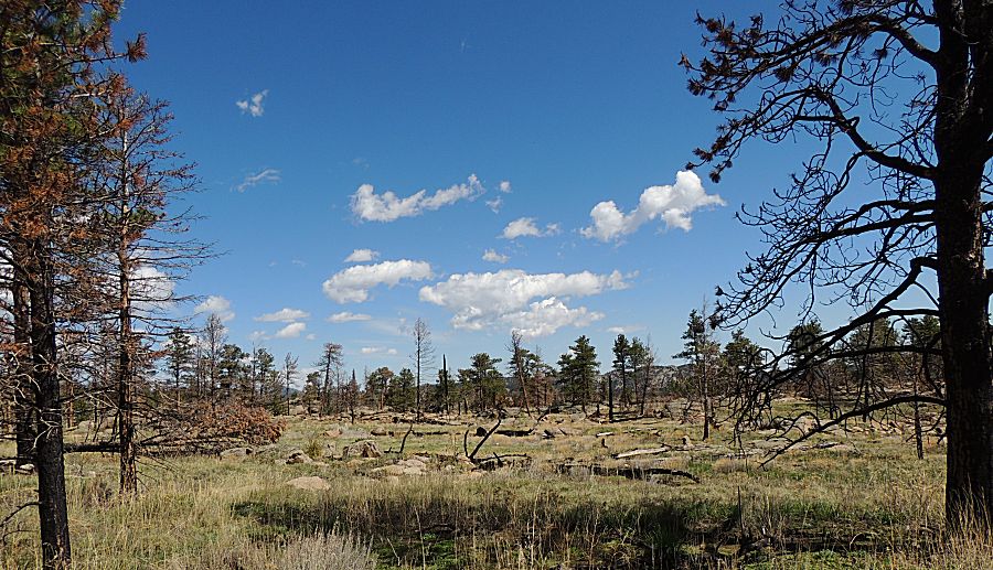
| Edge of the burn. What the forest looked like un-touched by fire and the look post-burn. |