Rock Creek, Bunce School Road, T-33
|
Isak
and I met in Lyons and traveled to some local trails. We didn't have
much of a plan but ended up trying Rock Creek as we heard it was
impassable. Why - snow or a deadfall tree? From there we headed
south on Bunce School Road - with the belief that the south gate was
closed / locked and we'd have to backtrack. Nearing the south end a `79
CJ-7 heading the other way said the gate was open. This meant we could
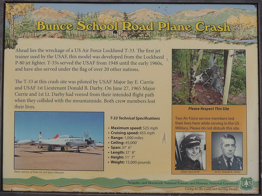
visit the T-33 trail - an airplane crash site. After those trails we
called it a day and headed home. Weather was wonderful - warmer temps are enjoyed. |
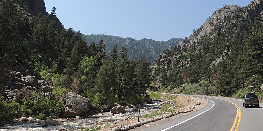
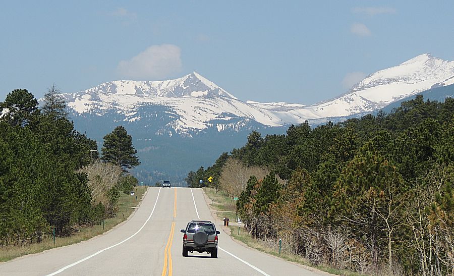
| Heading up the Saint Vrain canyon - southwest from Lyons Colo |
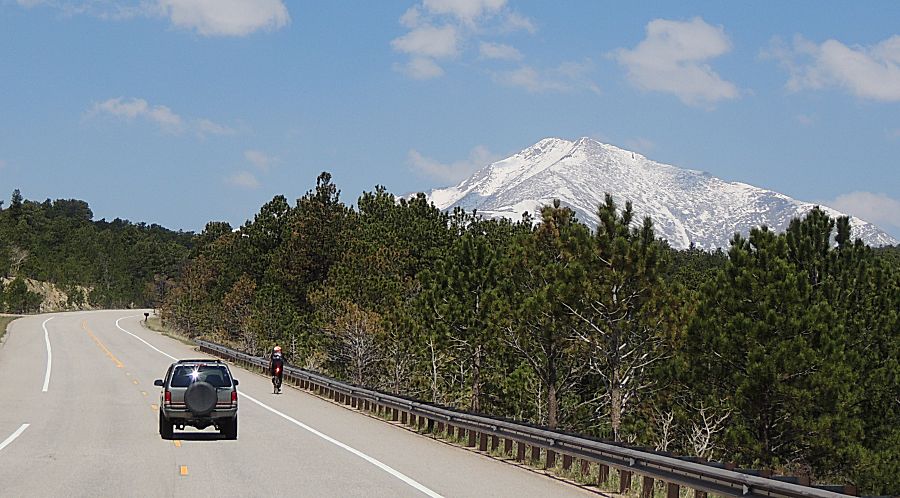
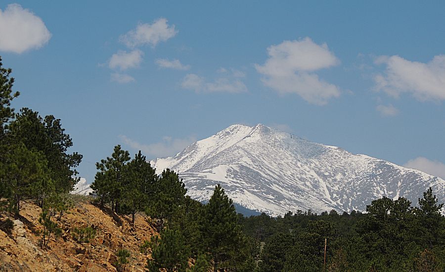
| Up on the Peak to Peak Hwy Mount Meeker / Longs Peak (I believe) |
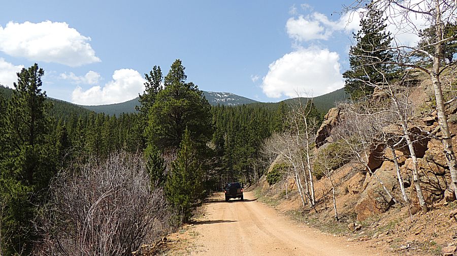
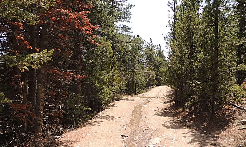
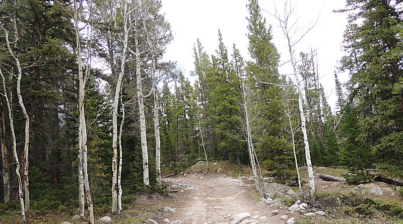
| The start of Rock Creek trail. |
| A first spot of snow. How much will there be? |
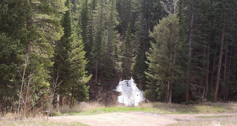
| Yep - snow. |
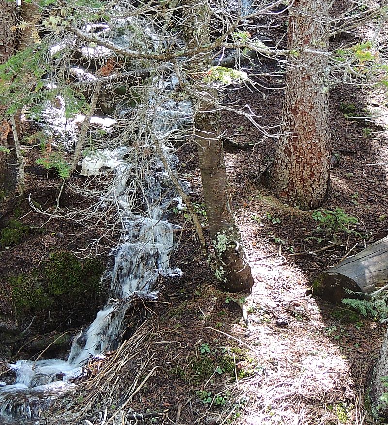
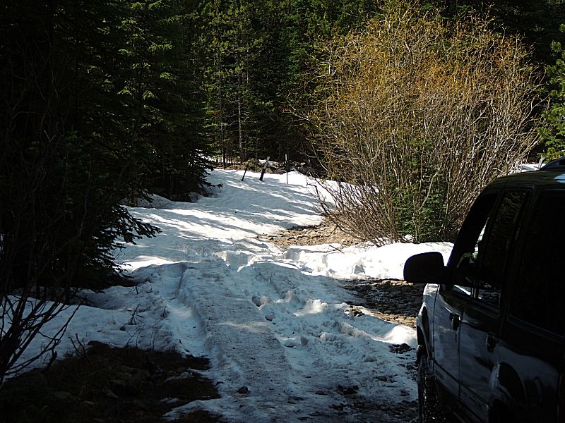
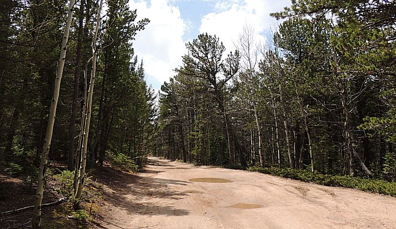
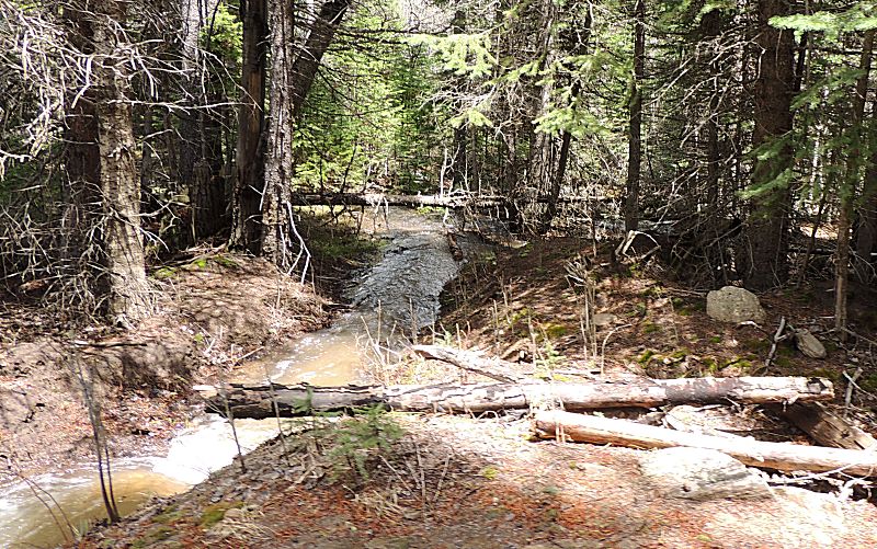
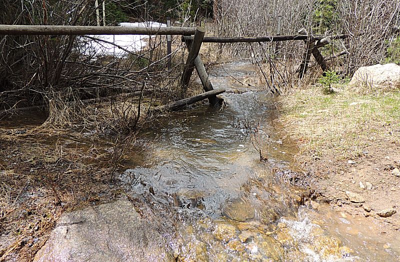
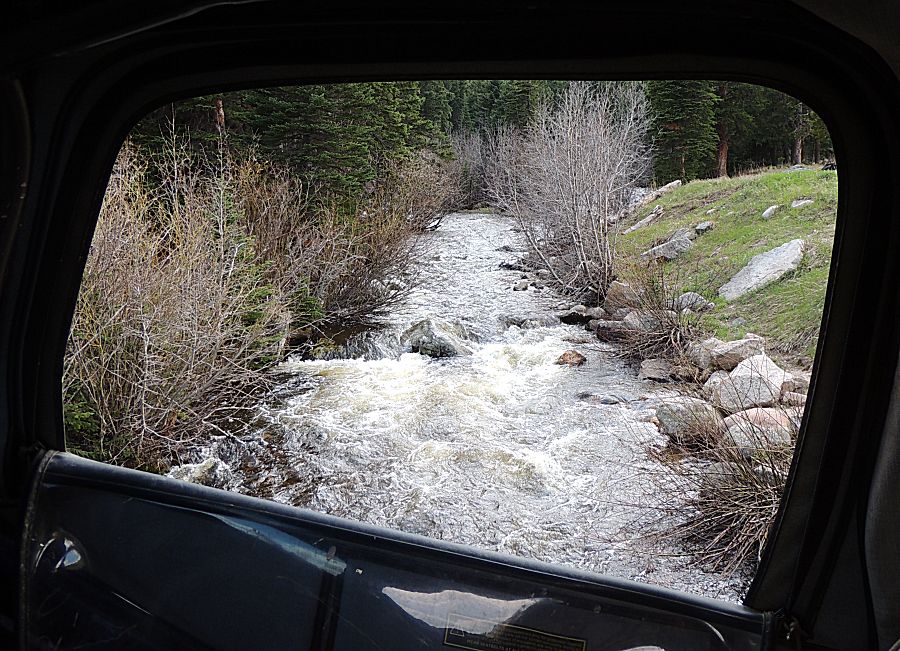
| Water water everywhere. Streams are flowing, puddles all around, water working down the mountainside. |
| The first spot that took a couple tries. |
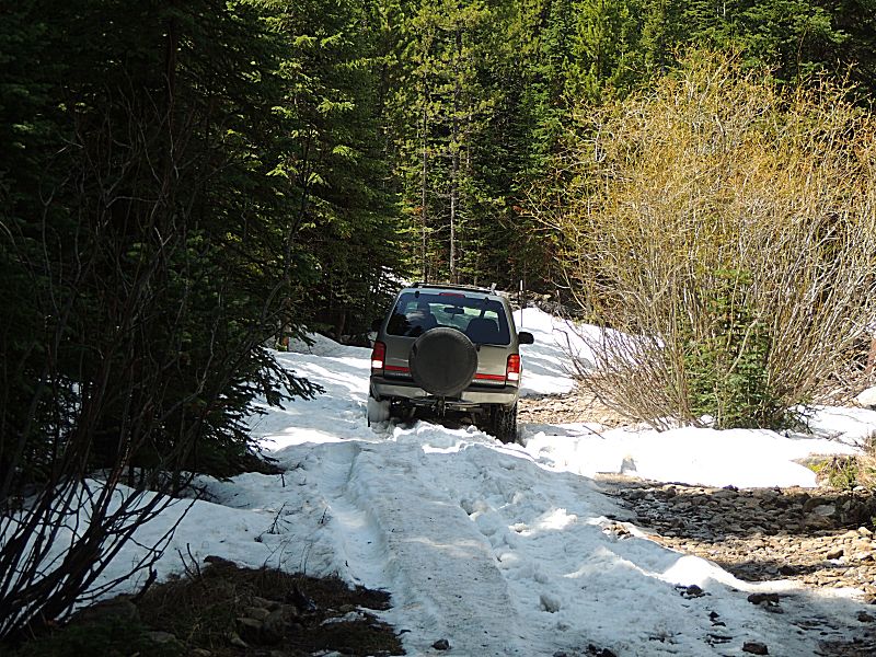
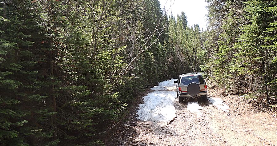
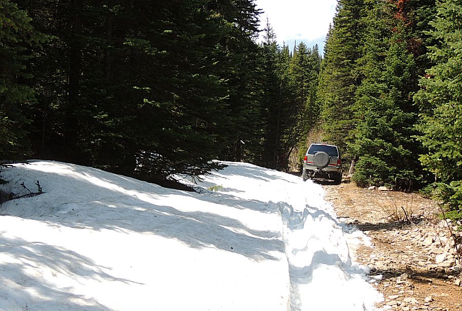
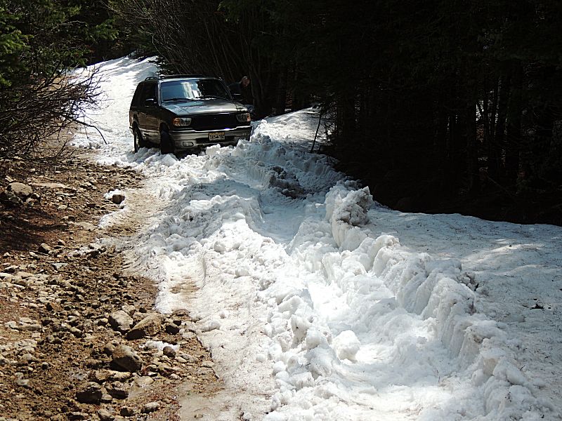
| ...and
this will be the end of the trail for Rock Creek. The tree branches on
the right side of the trail push us left into the deeper snow. Isak
took a few stabs and tossed the towel to me. This is one area where
locking differential were helpful - passenger side tires on the mostly
clear ground with driver side tires in the slippery snow. I made it, after a few tries, to the clearing at the far end of the trail. Once I saw where the trail turned (left, uphill) I know that would be the end for this trail - deep snow. |
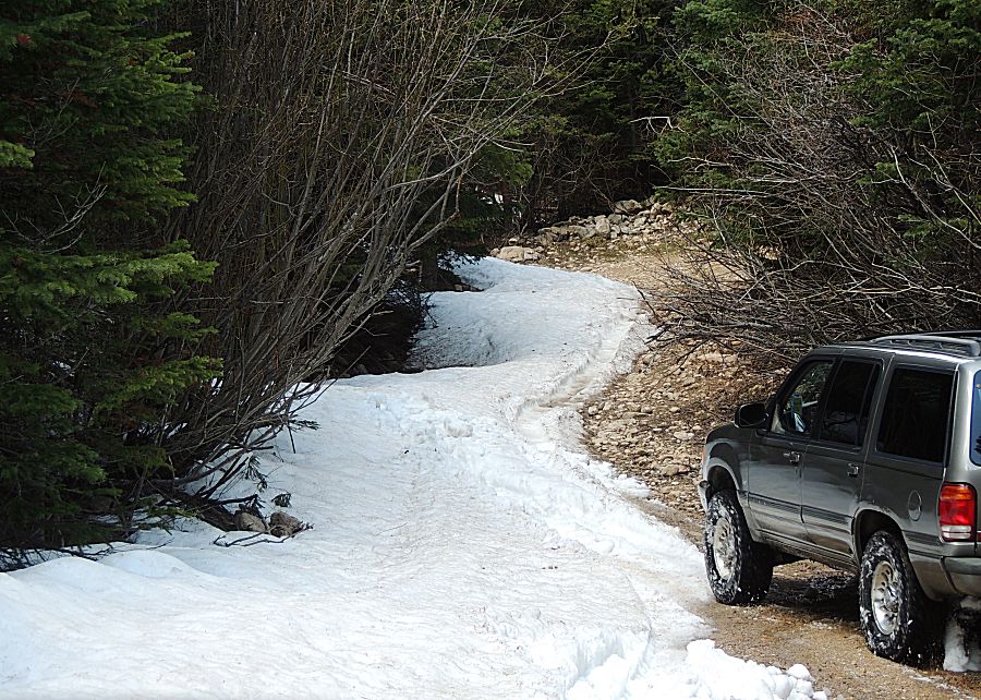
| I had driven up through the section and Isak is making another try. We turned around and headed out. |
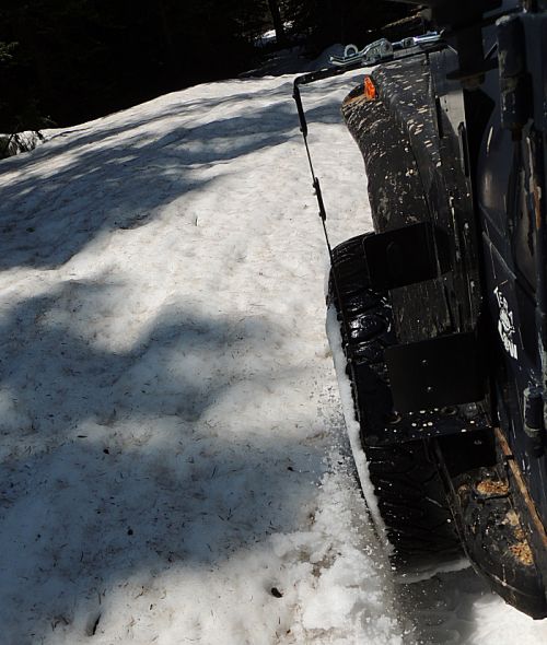
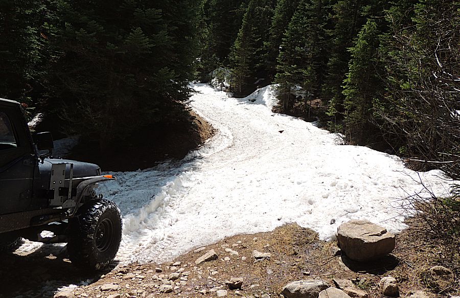
| This is too deep - maybe in a week or two with a bit more melt. |
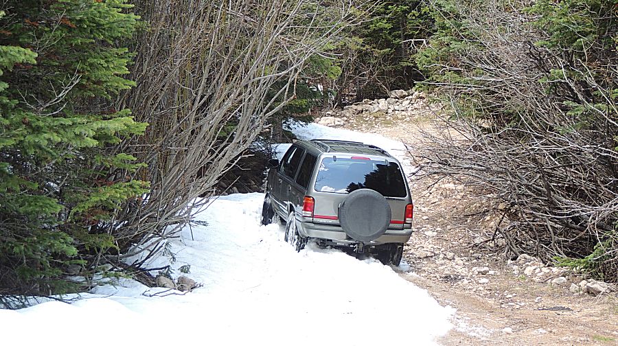
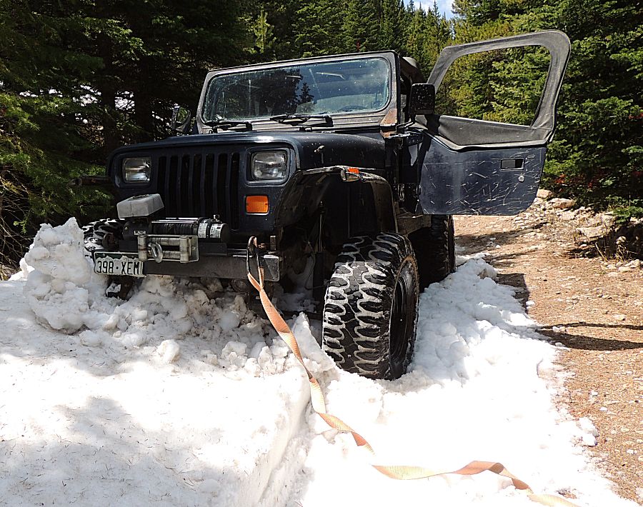
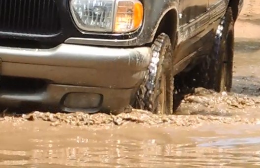
| Heading down and out I went a bit too deep - stuck. |
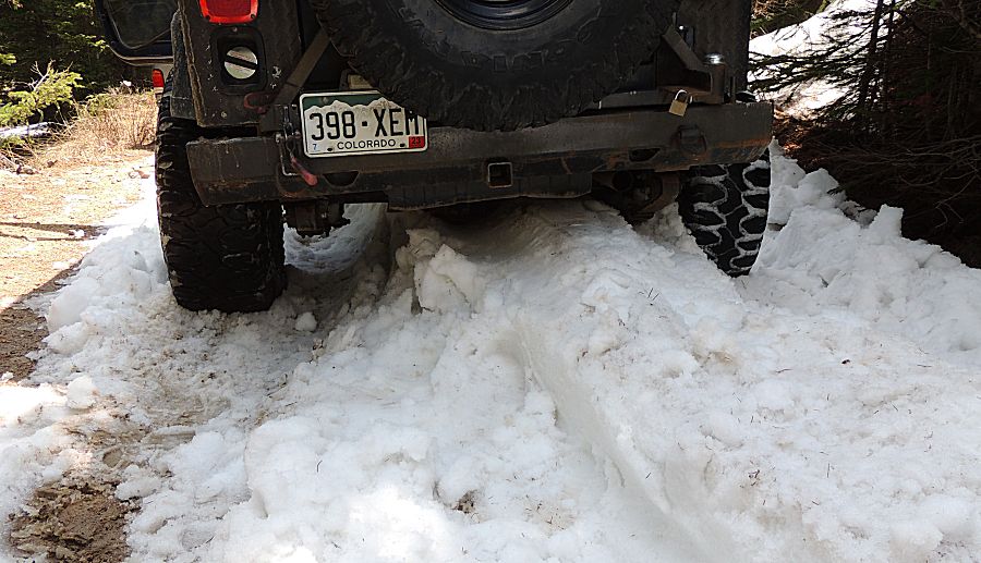
| A short pull - out... |
| Somewhere on Bunce |
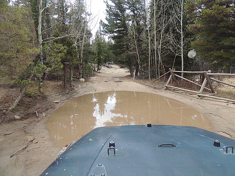
| Isak wondered how deep the water was on some of the puddles. |
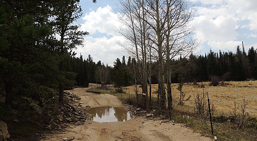
| Near the south end of Bunce |
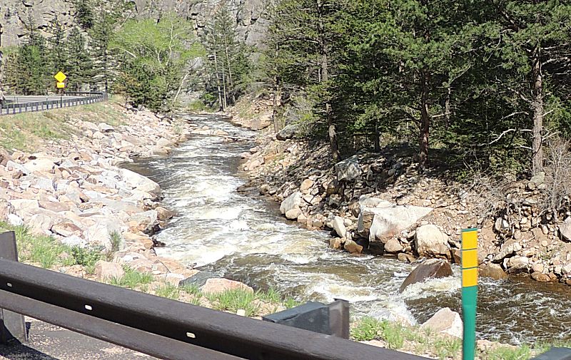
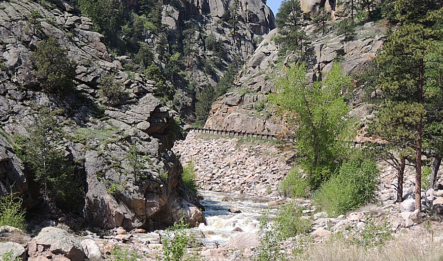
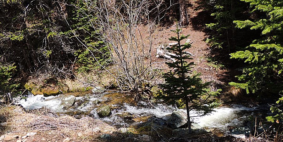
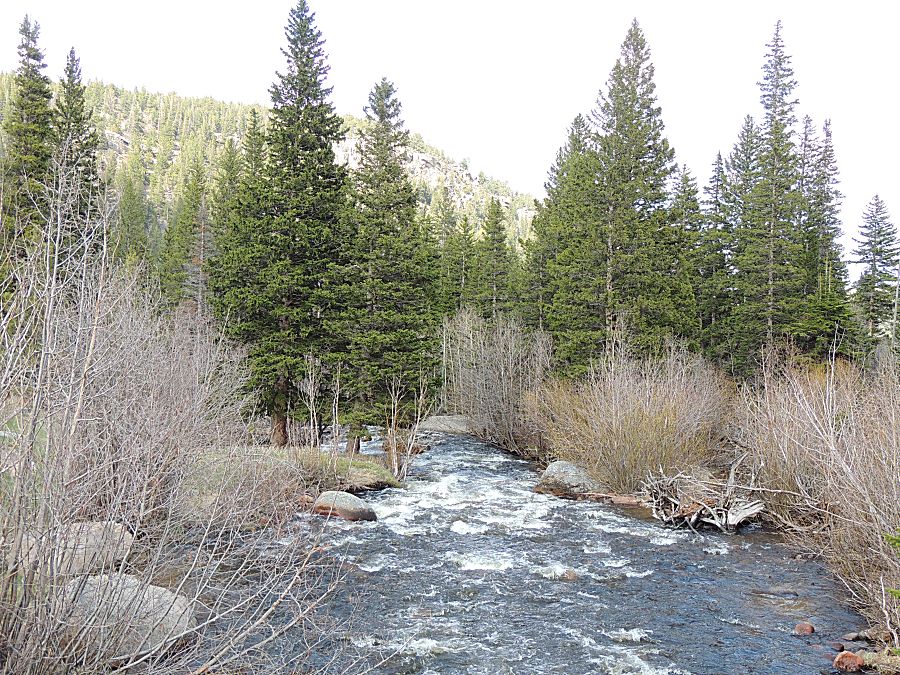
| Park Creek - on the way to T-33 |
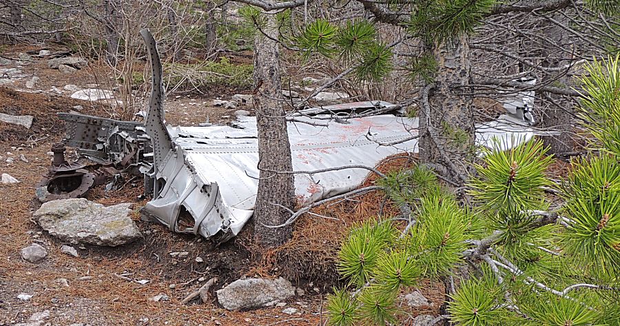
| One of the wings. Landing gear with brake rotor. |
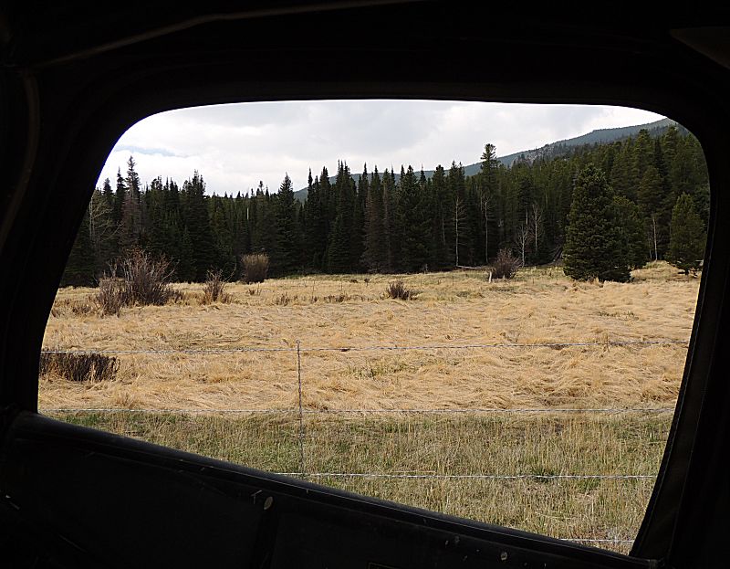
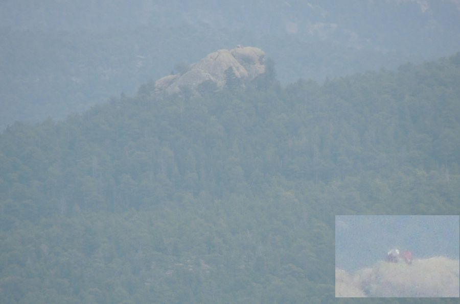
| Looking across the valley to the Miller Rock. Three miles distant. A couple people sitting atop the rock. |
| At Camp Dick - the gate for the Middle Saint Vrain trail - not yet open. |
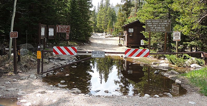
| Leaving Camp Dick |
| Rolling down Hwy 7 towards Lyons. |