Wheeler Lake ride-along
|
A
gent from the 4x4 group wanted to visit Wheeler Lake so I asked if I
could ride passenger. Off we went. Curiously, neither other interested
person showed up so we'd be a solo jeep today. While we started about
noon on the trail, we would be first vehicles traveling the trail. We
did encounter one lady walking out and two people across the lake. On
the way out we came across a few people - in vehicles and some who
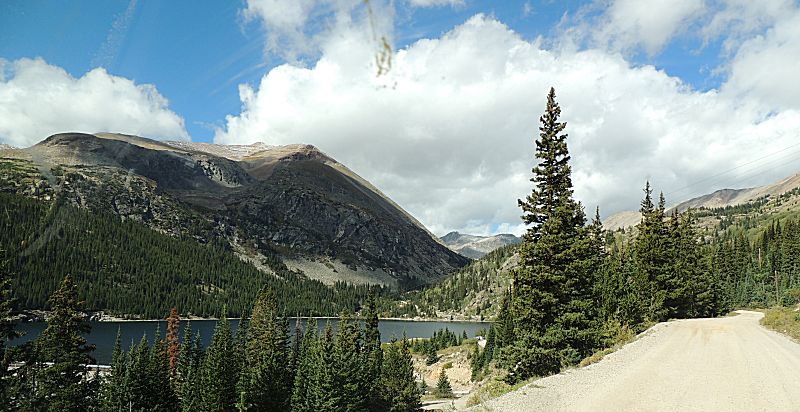
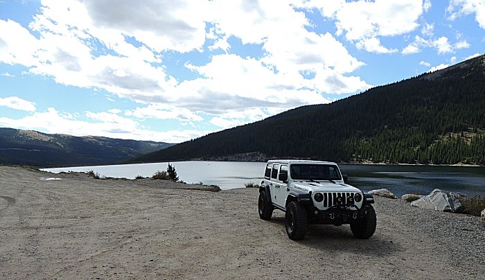
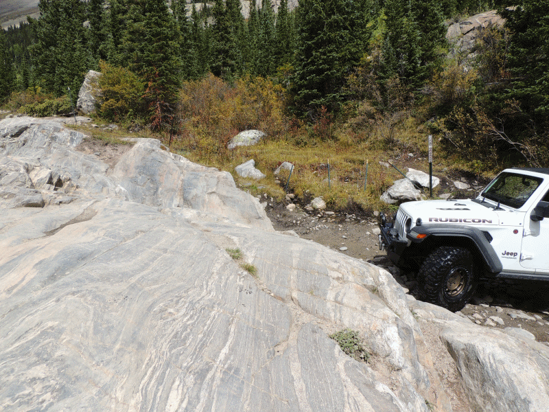
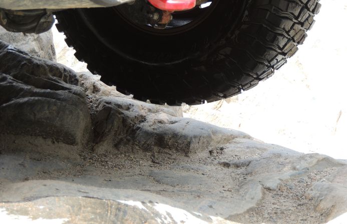
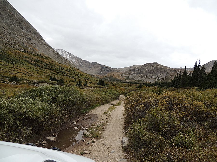
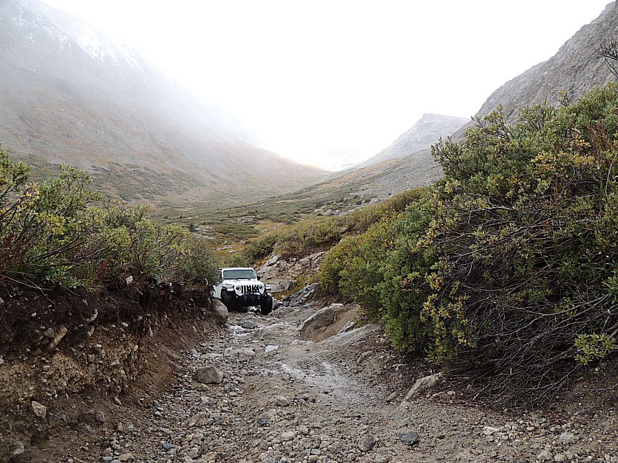
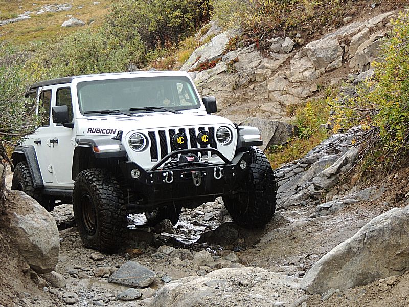
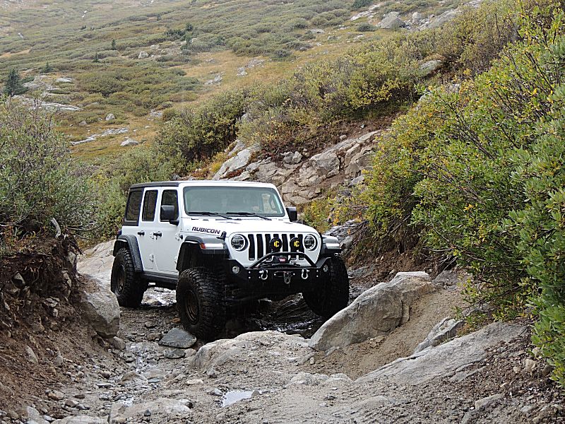
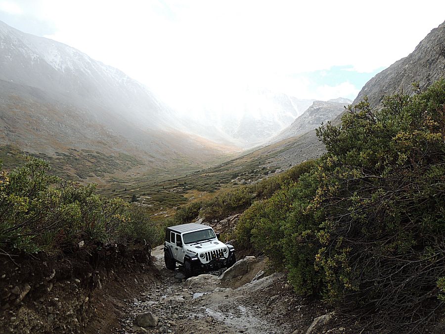
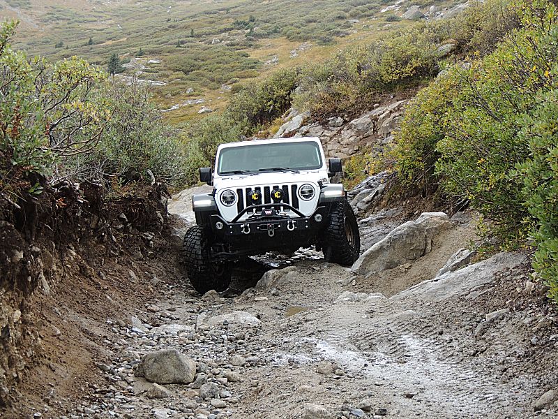
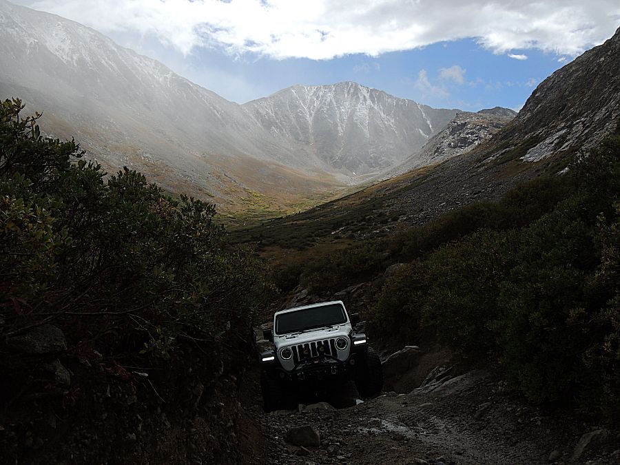
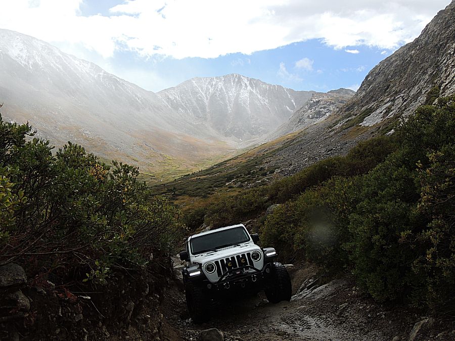
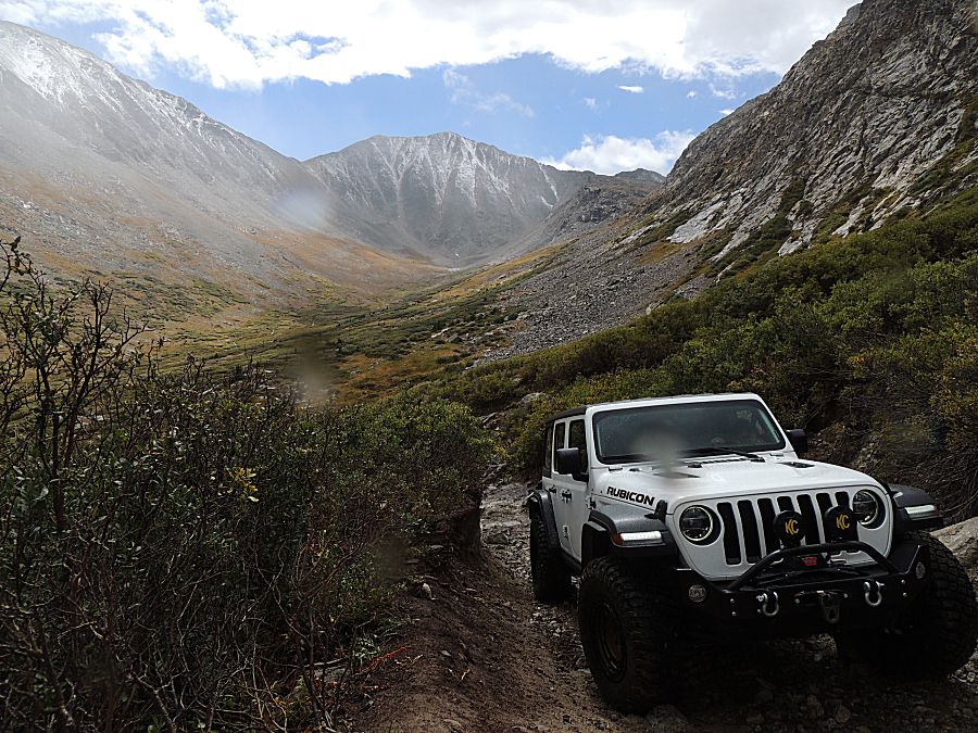
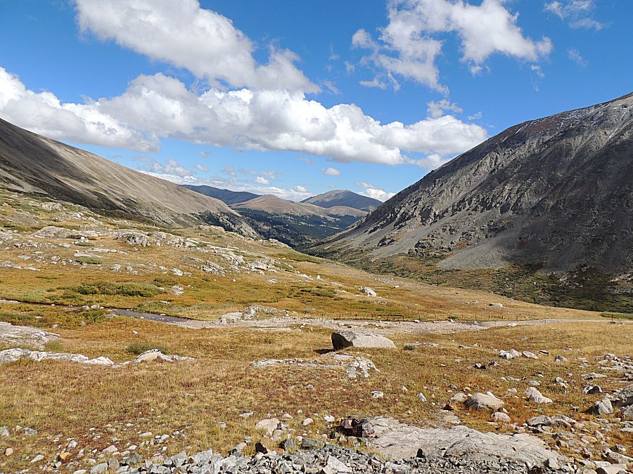
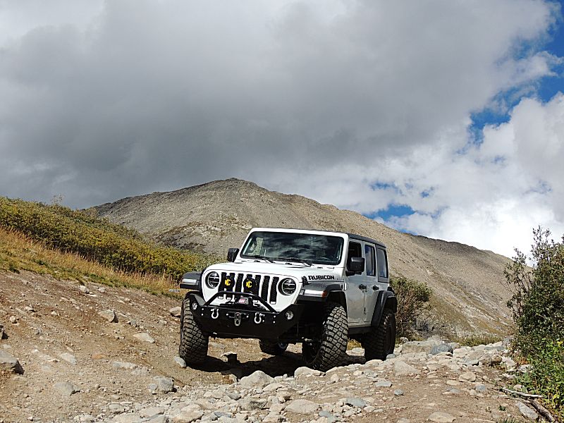
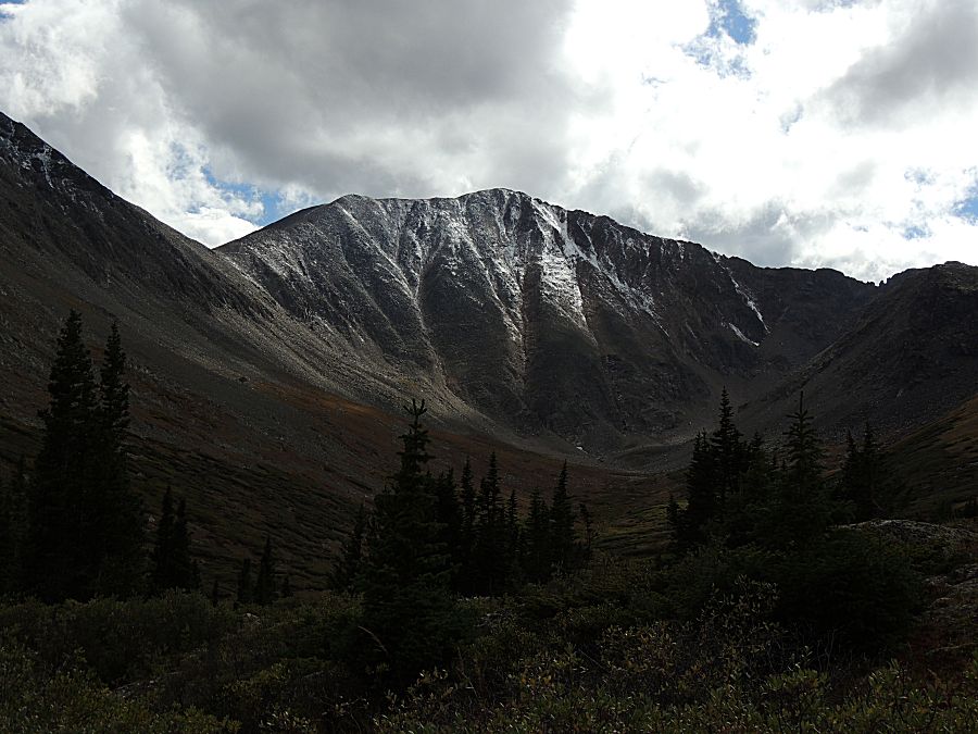
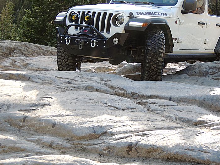
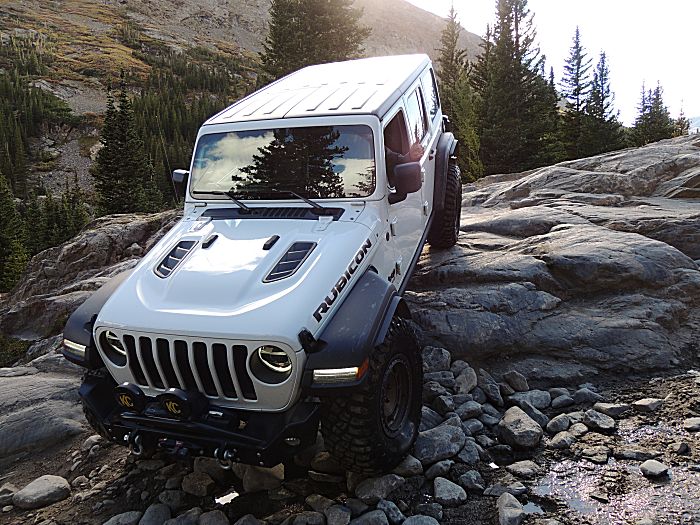
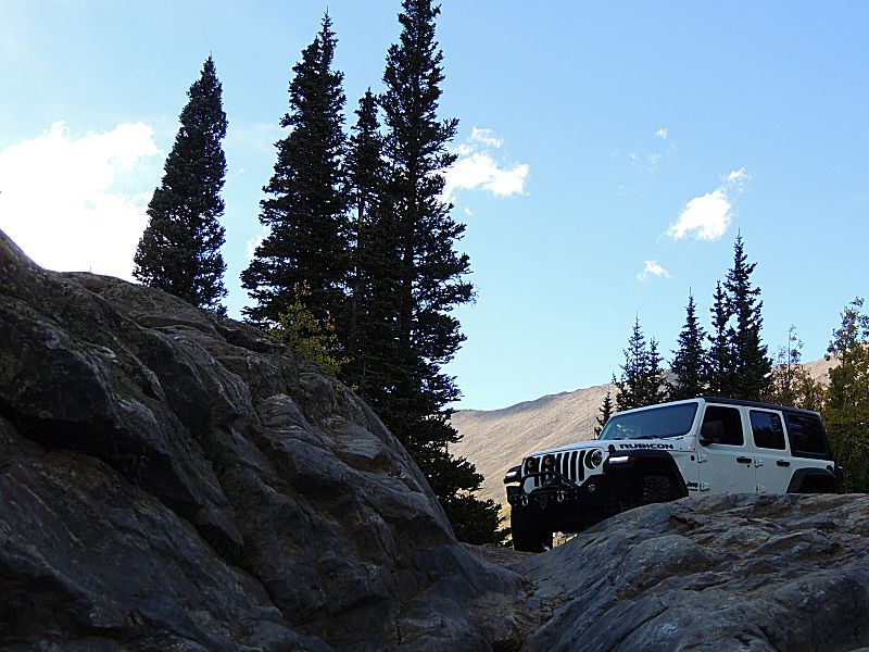
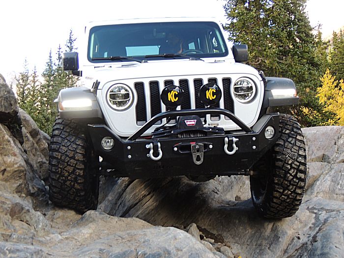
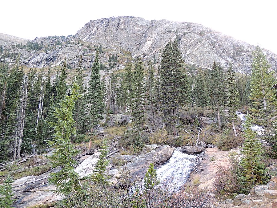
walked in for a scenic spot for a photo shoot. The jeep I was riding in had taller tires than my jeep (37" vs 35") but as it was a four door and mine is a shorter wheelbase two door, it did find itself scraping across several rocks. It had extra skid plates so it was not of much concern. At the second obstacle, I got out to spot and take photos and my phone fell to the ground. I would not notice this until much later in the day when leaving the lake. I checked at the lake and one other spot I exited the jeep and no phone was found. There was one other spot mid-trail as a possibility. Before coming to that spot we pulled over to let two side-by-side's by and asked them if they found a phone. They did! Thanks folks for grabbing my phone and keeping it safe! The day was on the edge for a coat and I'm glad I brought one (high 40's to mid 50's is the estimate from the jeep's temp readout). Clouds and precipitation was a mix. Some of the day was like the photo below - nice white clouds - but a large amount of them. Later in the day the clouds darkened and increased to no blue sky visible. We had light precipitation that was on the edge of rain/sleet/snow. As can be seen in the first photo - the close, tall mountain to the left and the mountain at the far end of the valley - are showing some fresh white snow. Winter is announcing itself. |
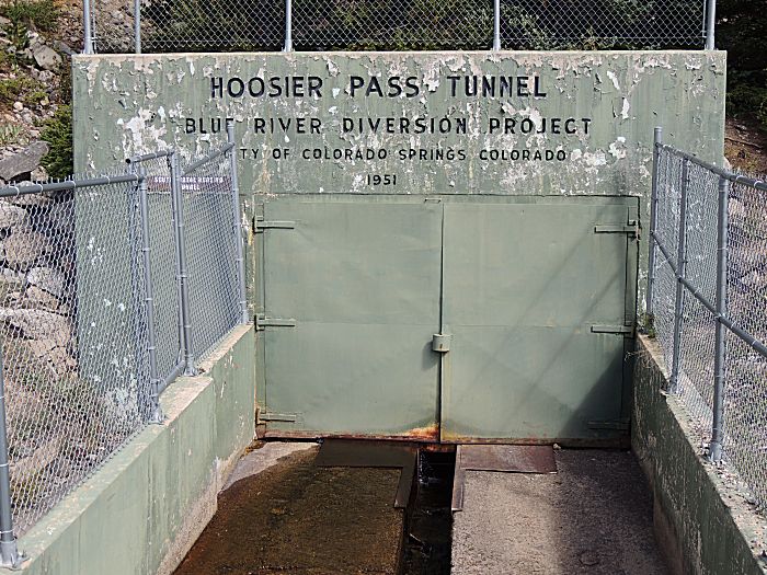
| Water
is a precious resource. Surface run-off is controlled. This tunnel runs
north from this reservoir. The valleys north of here run east-west and
the tunnels (two additional tunnels connected to form a line of
tunnels) catch groundwater running down valley for diversion to the
city of Colorado Springs - well southeast of here. The water projects in the state are extensive and span from simple ditches to massive dams. The water being captured north of here is western slope water - water on the other side of the Continental Divide and this reservoir is on the eastern side of the divide. |
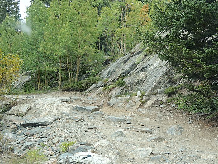
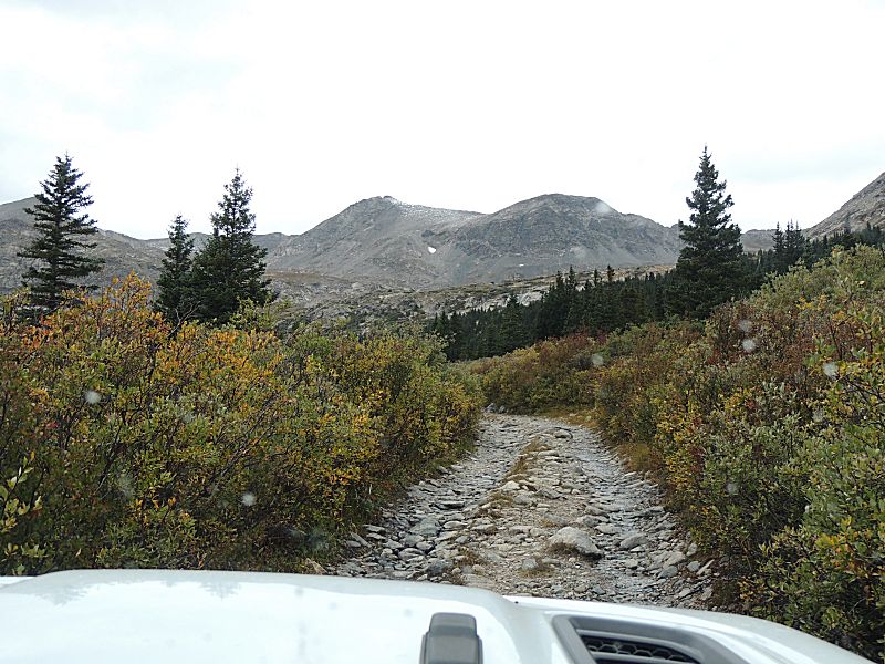
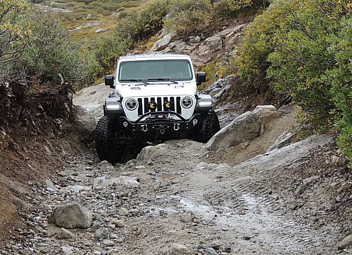
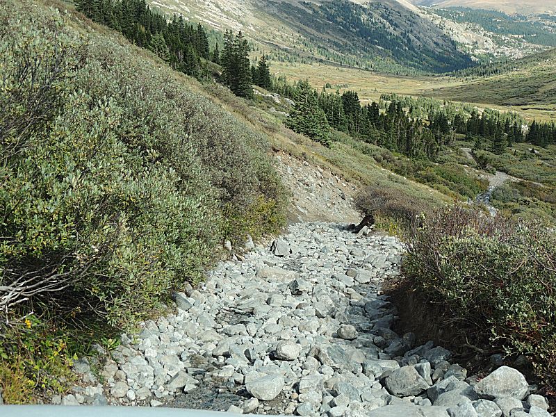
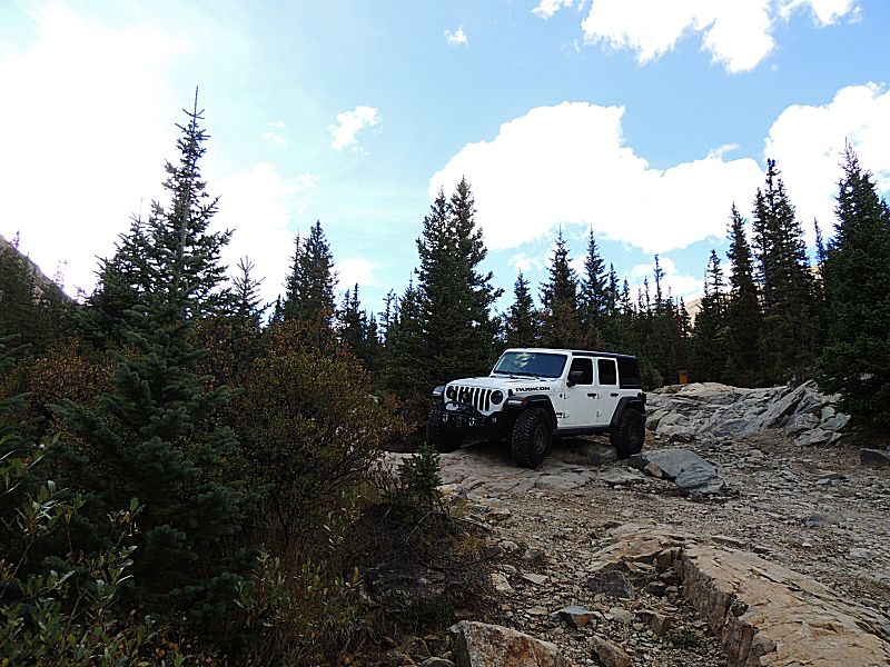
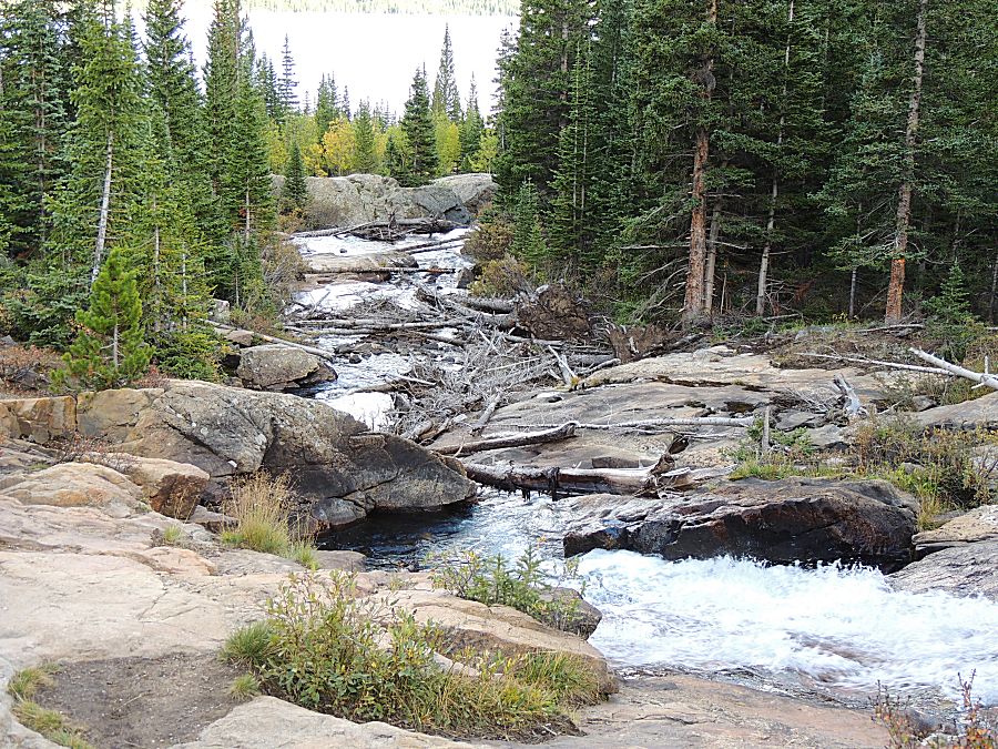
| Start of the trail - it will be bumpy. Aspen trees are still green with hints of fall starting. |
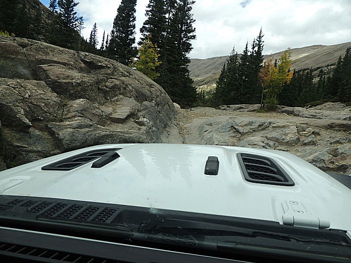
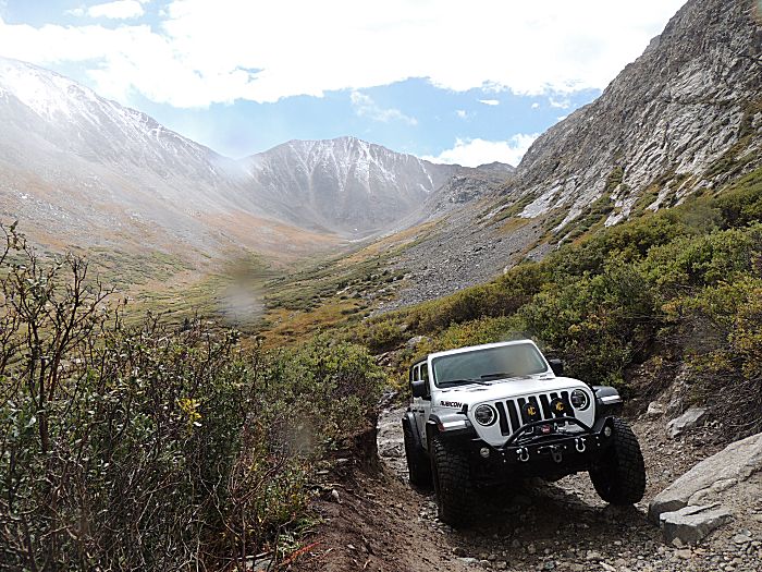
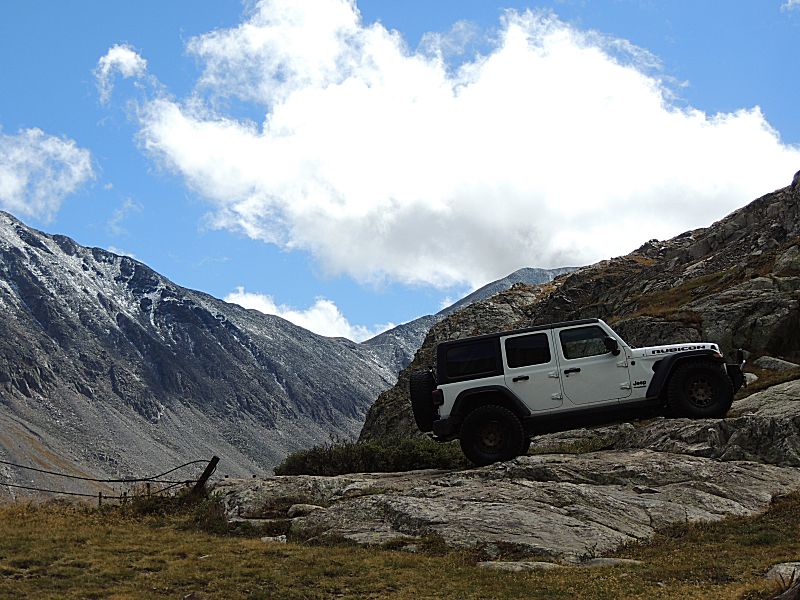
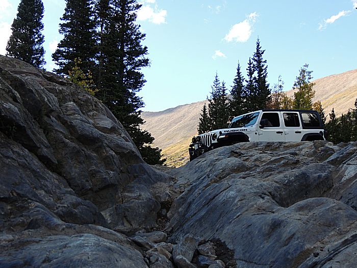
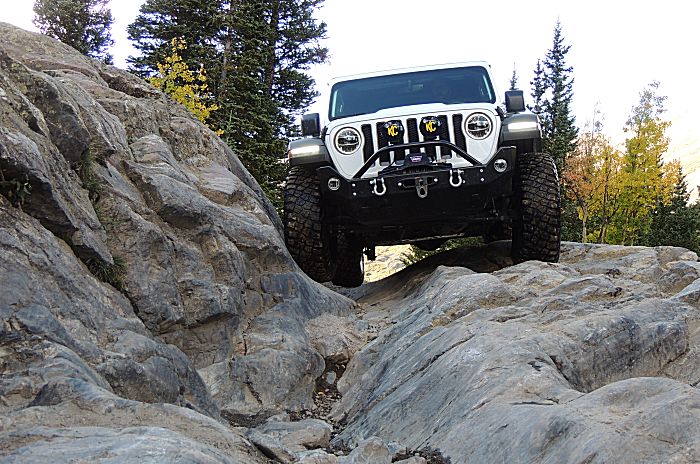
| The second obstacle - near the center of the photo is where I was told my phone was found. |
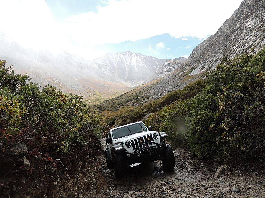
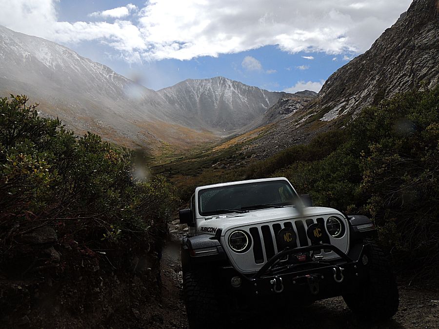
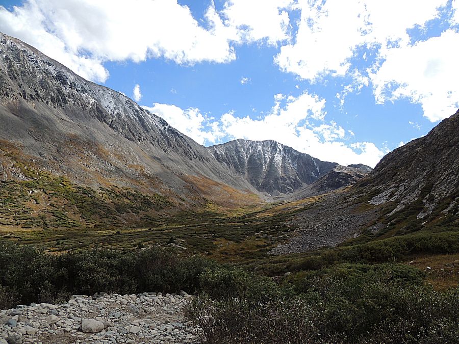
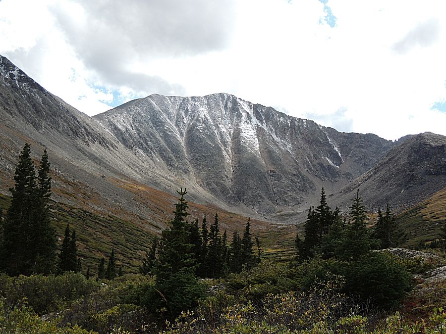
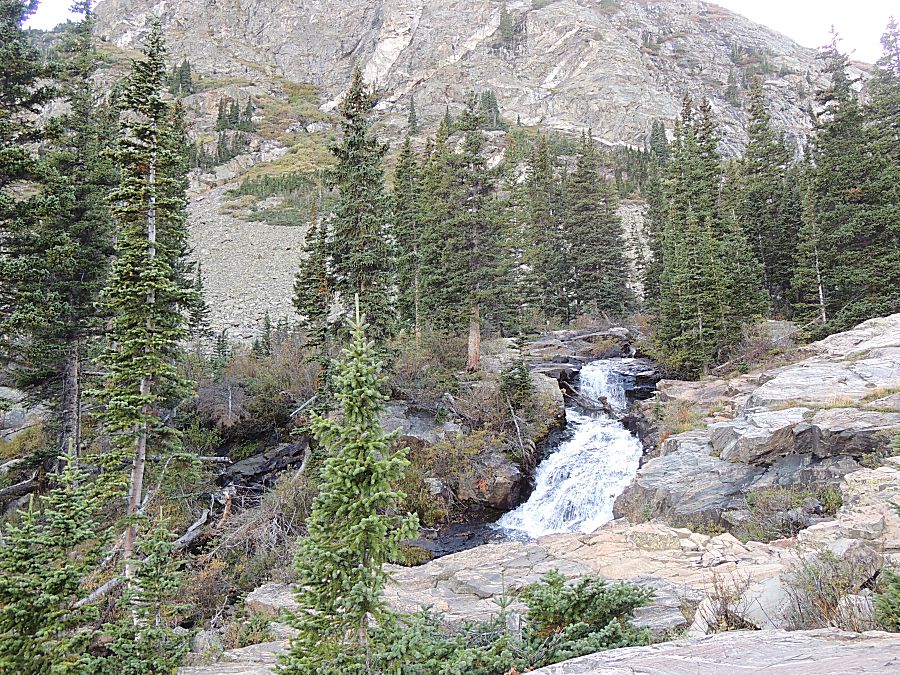
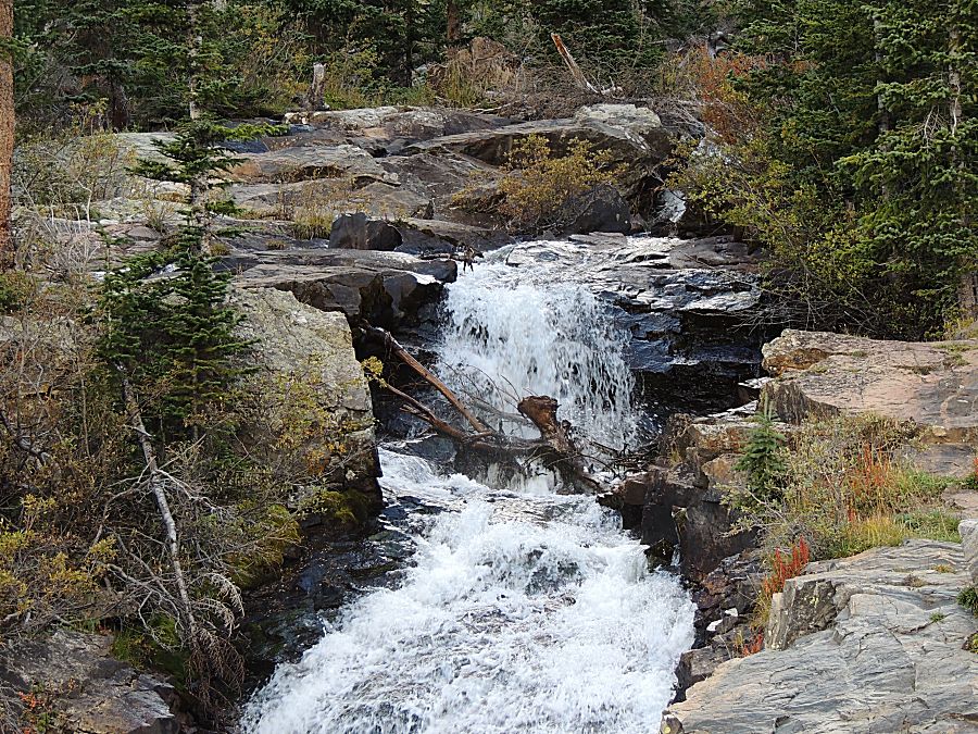
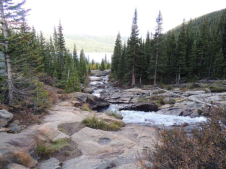
| Several
shots of this similar scene. Weather was moving through the valley -
snow/sleet/rain - and as it did the ridge became visible. |
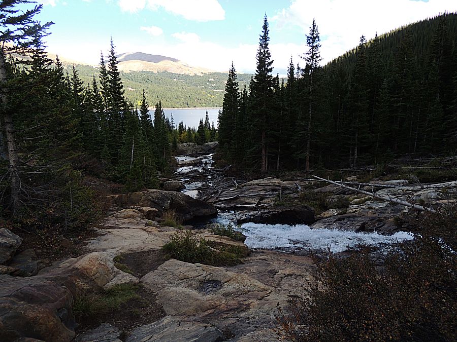
| A bit of blue with the background starting to show. |
| I think the peak in the center is Mount Democrat. There are a few photos that are close to the same - with different exposures. |
| Up at the lake |
| Mount Lincoln (peak near the left) with Moutnt Cameron to the right (though I don't know which) Two of the "14'ers" (as is Democrat off the photo to the right). |
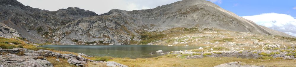
| Panorama Click for a larger size |
| A bit of mine refuse / relic - bedframes? |
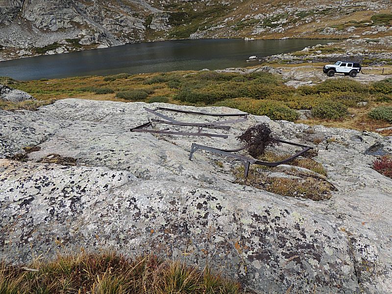
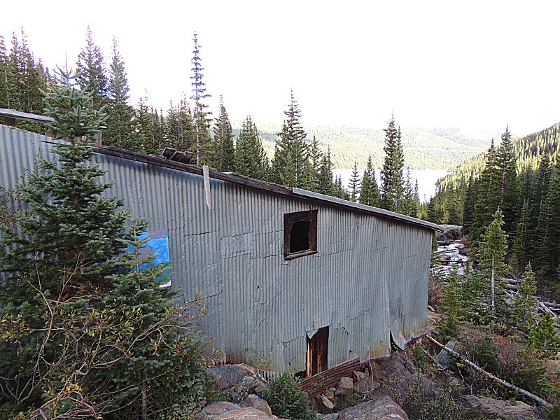
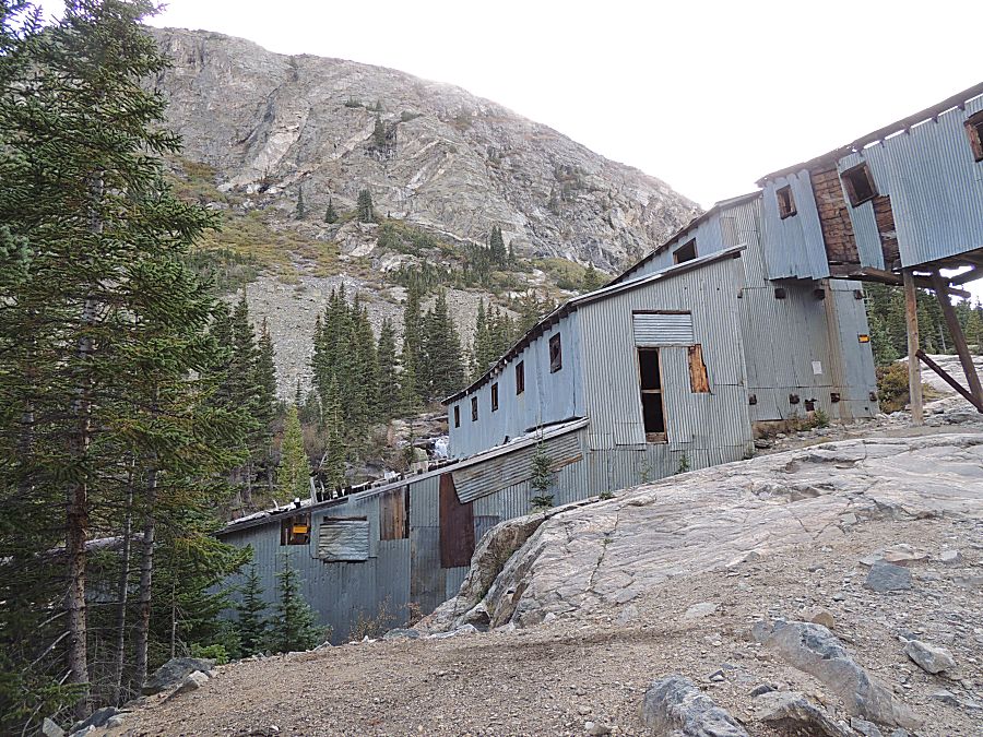
| There is a small mine at the lake (there are MANY mines in the area) |
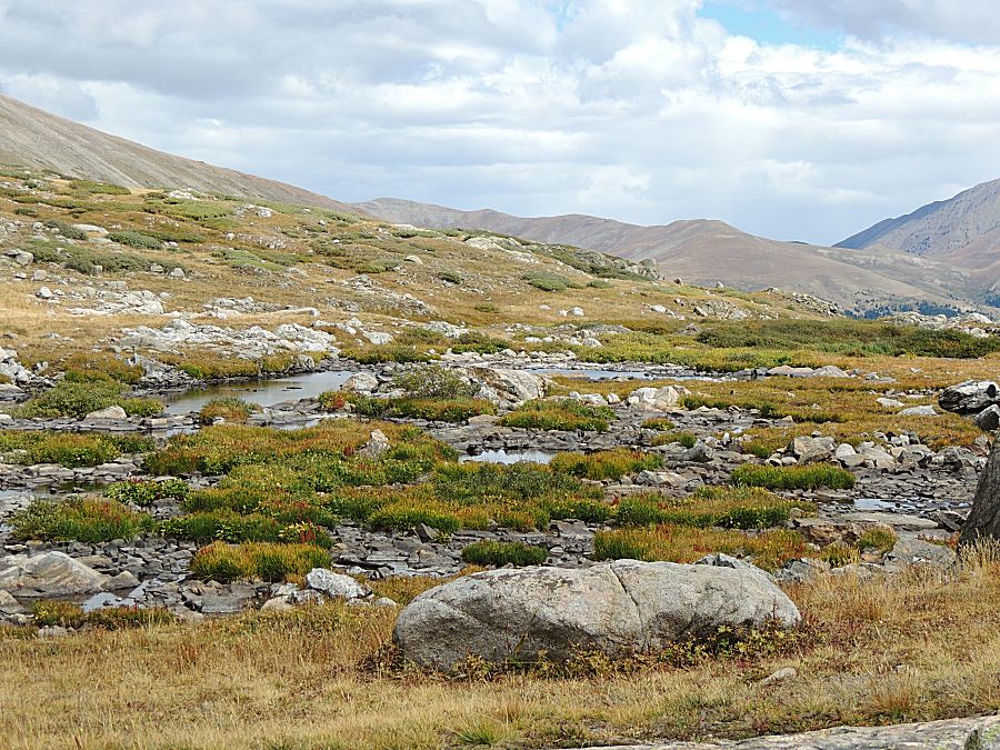
| Up at the lake - looking down valley. The somewhat horizontal cut (light area) in the dark trees at the far hill is highway 9. |
| Early season snow |
| Bowling Ball Hill |
| Thanks for finding my phone! |
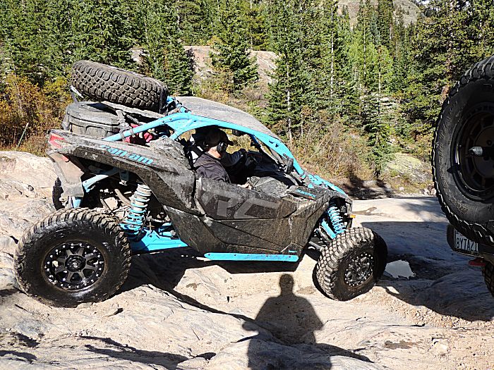
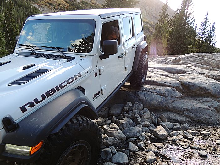
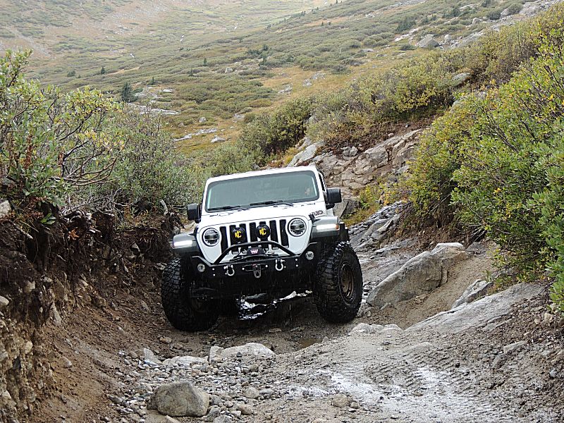
| Spotting for wheel placement - to keep the bodywork from hitting a rock. |
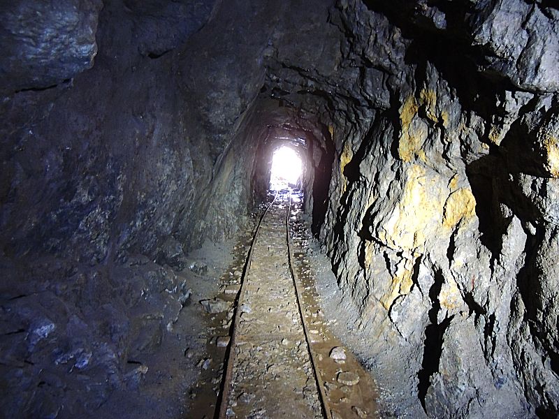
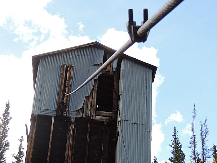
| Taking a peek into the mill. |
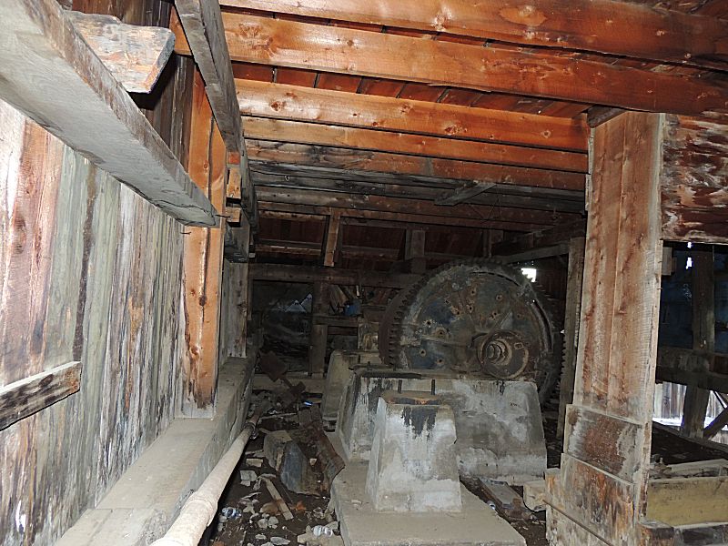
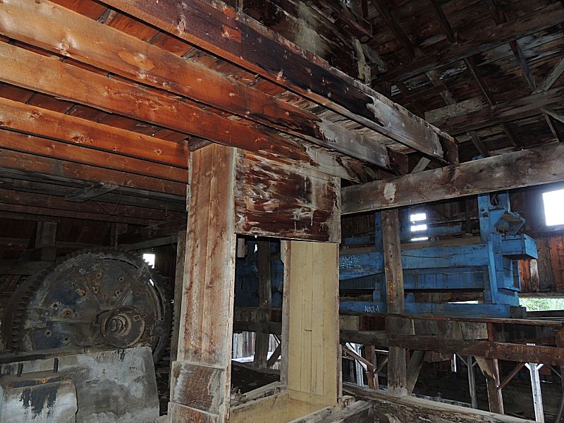
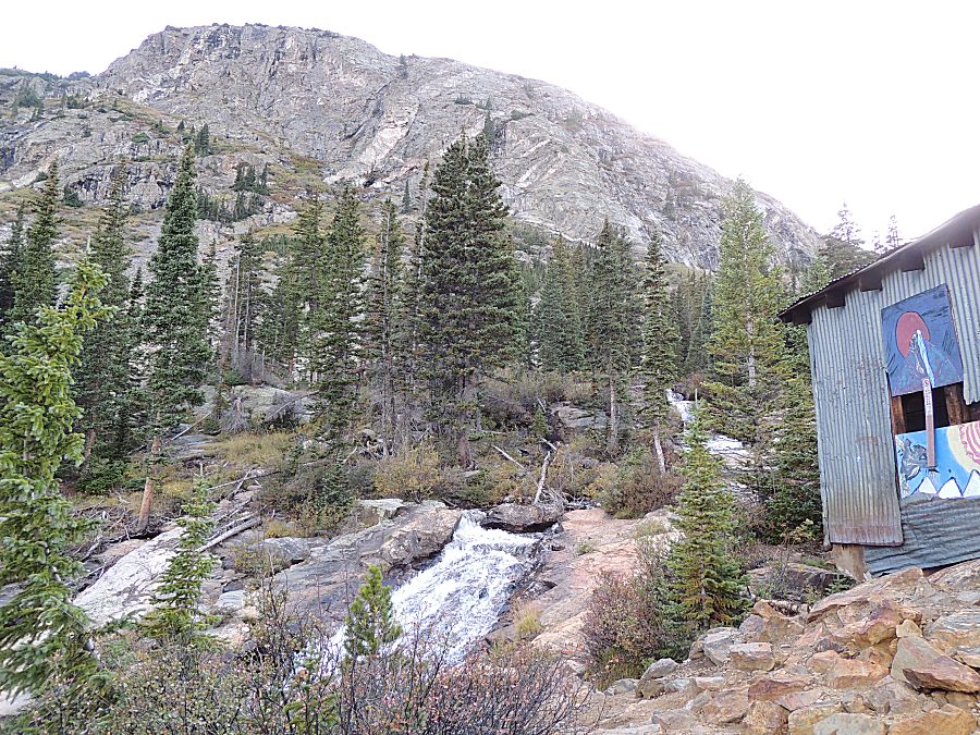
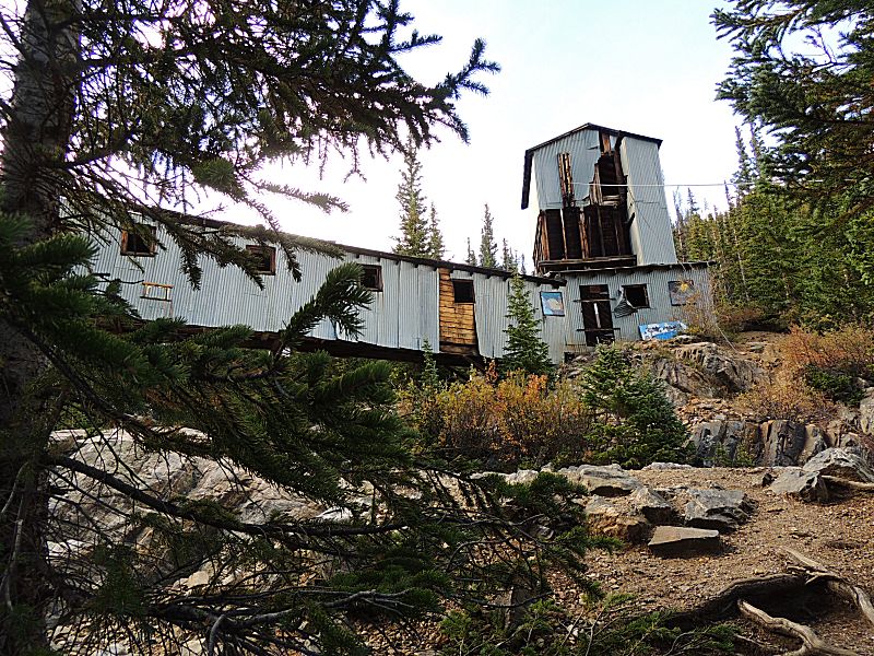
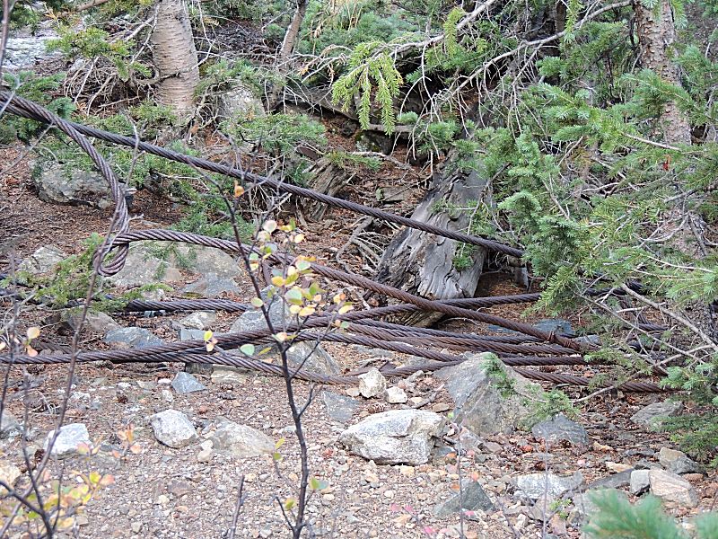
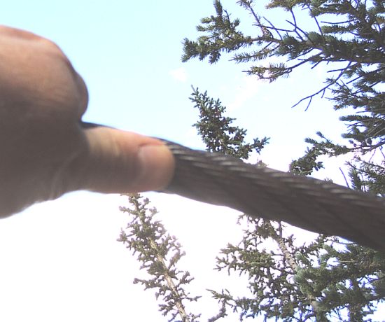
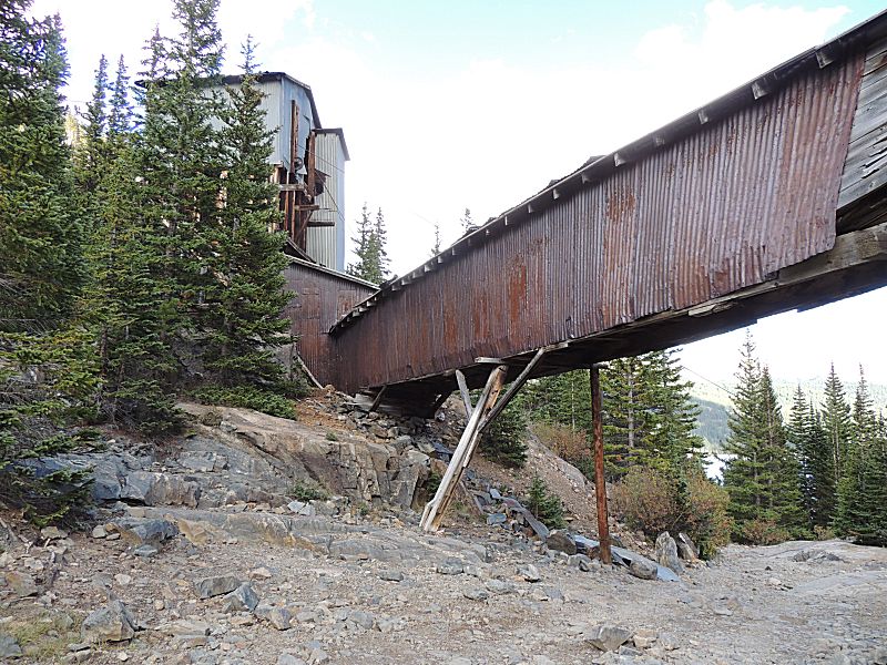
| There are mines up the mountain and a cable car was used to move ore down to the mill. |
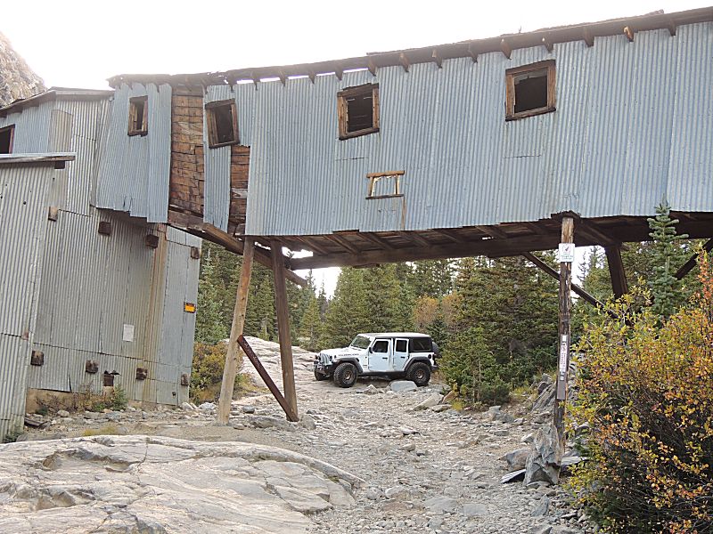
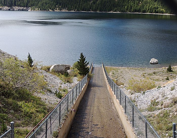
| I'm counting the years before this bridge structure falls. It's a unique structure. |
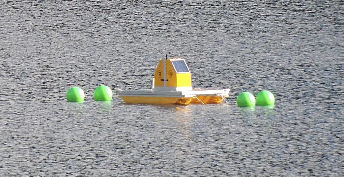
| Out on the reservoir - some solar powered item. |