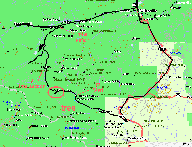
Possible tree clearing, Miner's Gulch look, assorted Tolland area trails
|
A
few days back a couple folks from the 4x4 group met to travel the
Miner's Gulch trail. It can be a higher difficulty trail. They were
turned back due to a large tree across the trail. With weather still
nice outside I thought I'd take a day off and play in the forest
clearing a tree. This tied nicely as another member was looking to get
out for a trail on Tuesday so a plan came together. Three vehicles met
at the trailhead and we went in search of the tree. It wasn't far in
from the trailhead but someone before us cleared it so we simply kept
rolling. We took a peek at the Miner's Gulch trail but it had
significant ice so we turned back. The plan was "whatever" so we headed
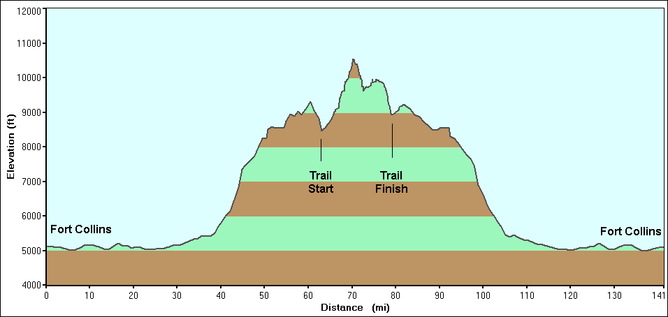
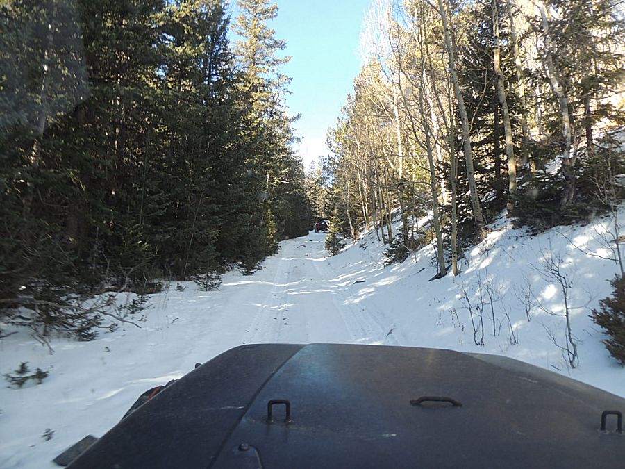
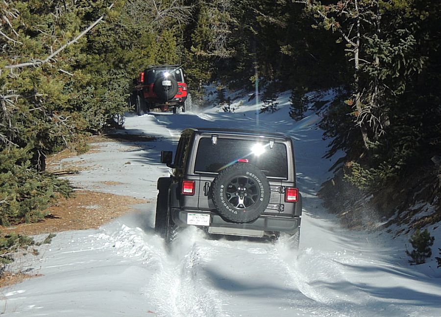
northwest on a nearby trail. Out to the highest spot for the day we encountered enough snow / snowdrifting that we were turned back from one trail. It was a T-intersection with us coming into the T from the bottom. The left turn was blocked with high drifts which left us with the right turn. It had drifts but was heading downhill. I gave it a run but the deepest drift found the jeep sitting on the frame. The second in the group was able to make it around me and onto bare ground to pull me free. The third in the group became stuck too and needed a tug. Through the day, all three of us became stuck at some point, typical for snow covered trails. We were heading down the mountain - on a clear, beautiful day. The temps were cool bit not biting cold but the wind was wicked fast in the open areas. We checked out two "new-to-me" trails and mostly headed home. An enjoyable time in the mountains. |
|
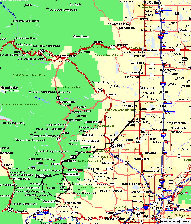
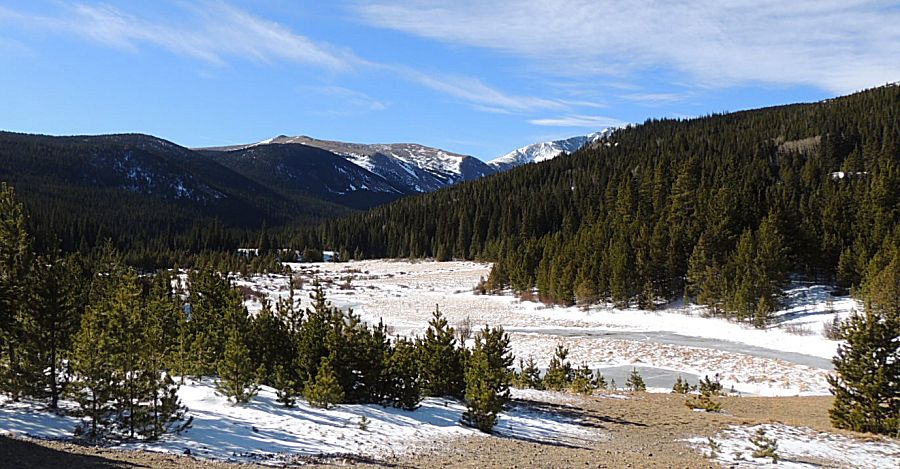
The
circled area is Miner's Gulch. I didn't take a photo - sadly - we
turned around at the frozen creek section. It was an uphill sheet of
ice. I tried, once, to get up the section but the jeep ended up being a
ping-pong ball on the ice between the banks of the creek. The others in
the group walked up the side of the creek/trail and said around the
corner the ice was a side-slope that none of us would be able to
navigate. We turned back to investigate other trails. |
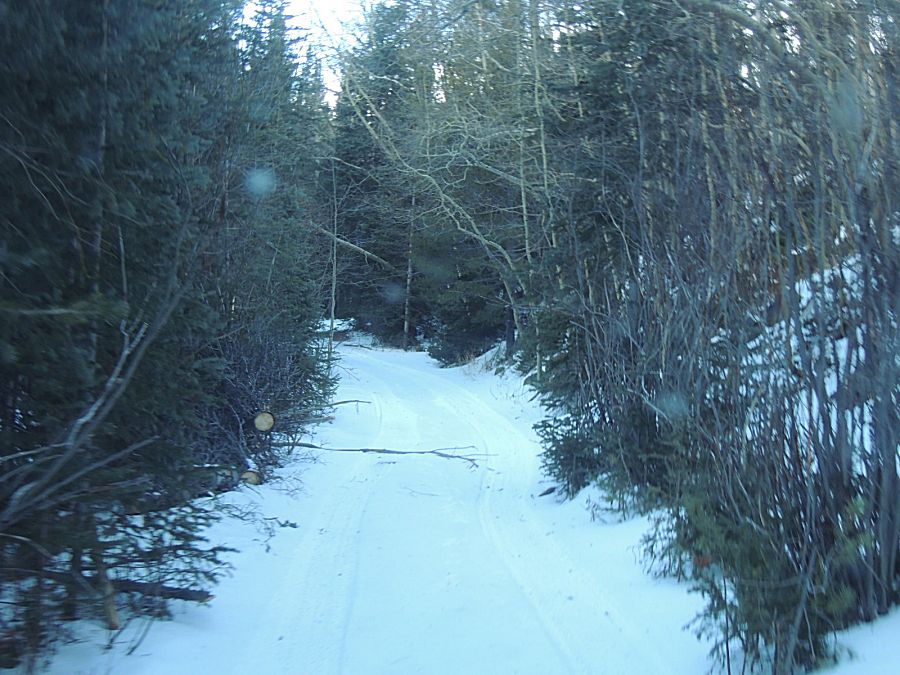
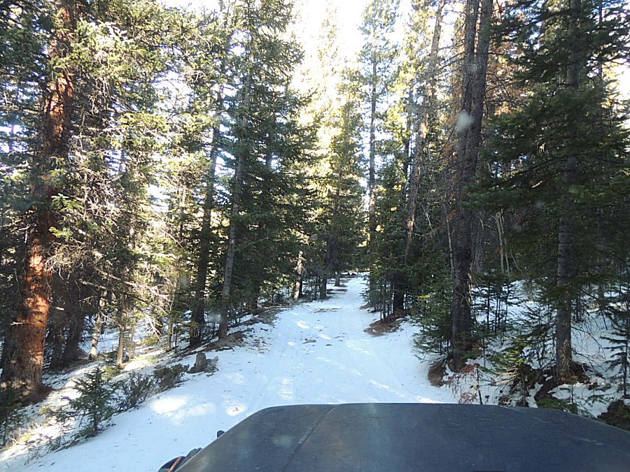
| In the trees - where the wind doesn't blow snow clear - we have a couple inches of snow. |
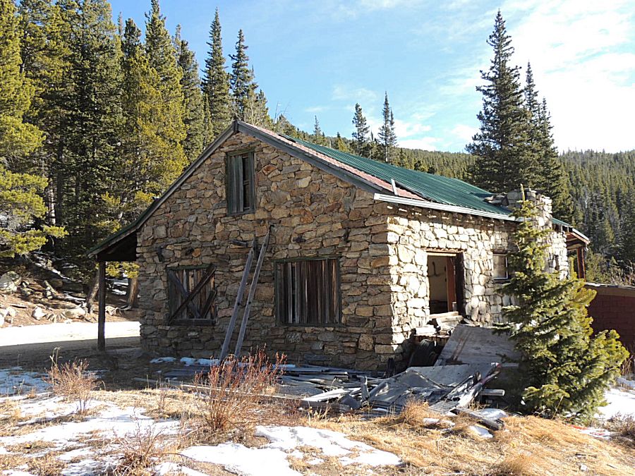
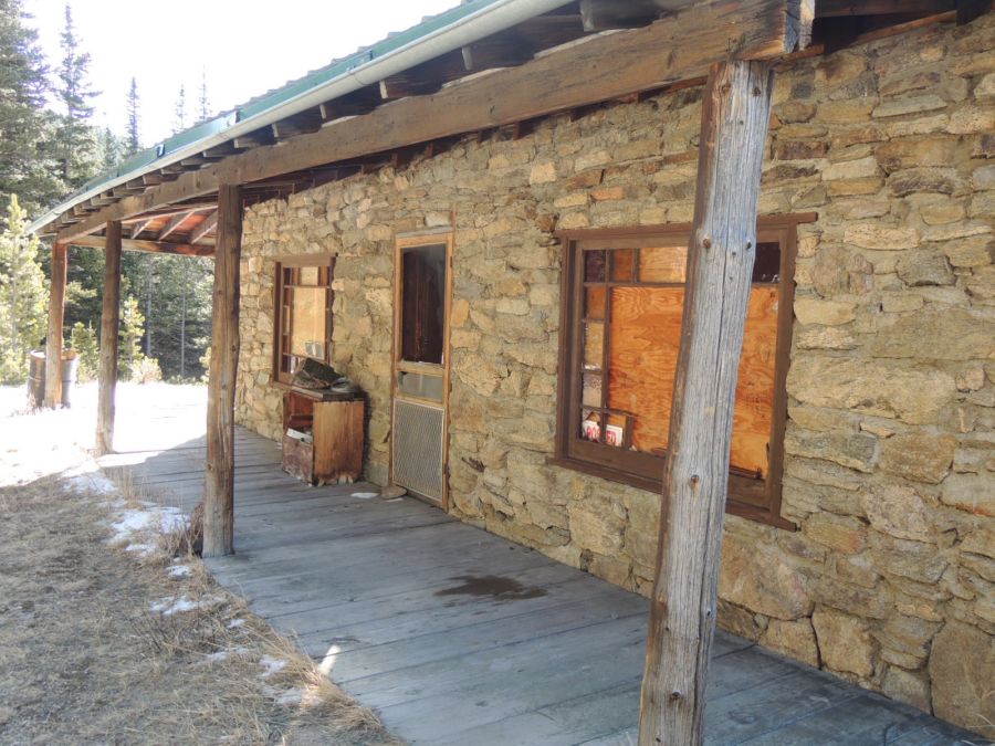
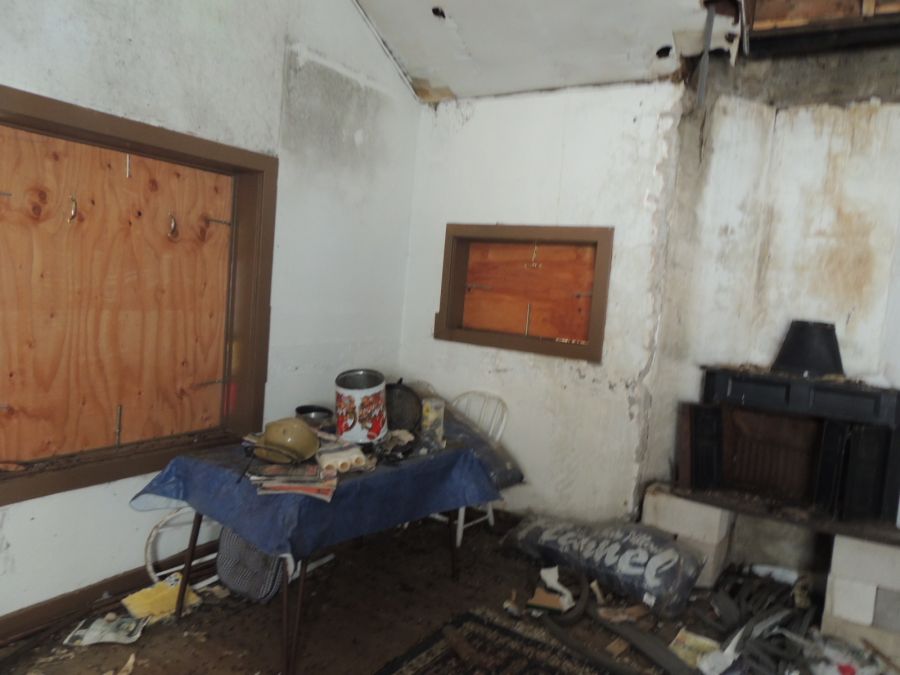
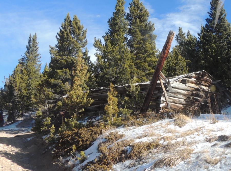
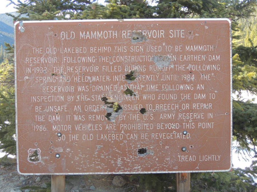
| There was a lot of mining in the area so finding old marks of man is common. |
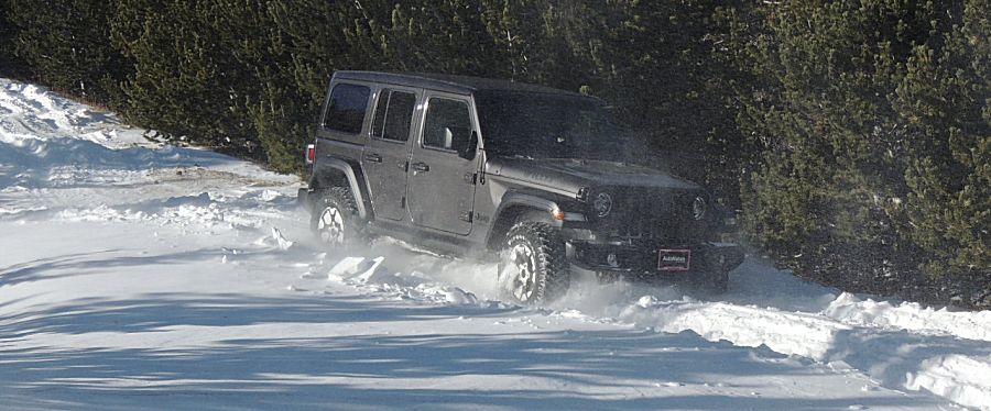
| At the T-intersction - taking a left or south turn - enough drifting to have us turn back |
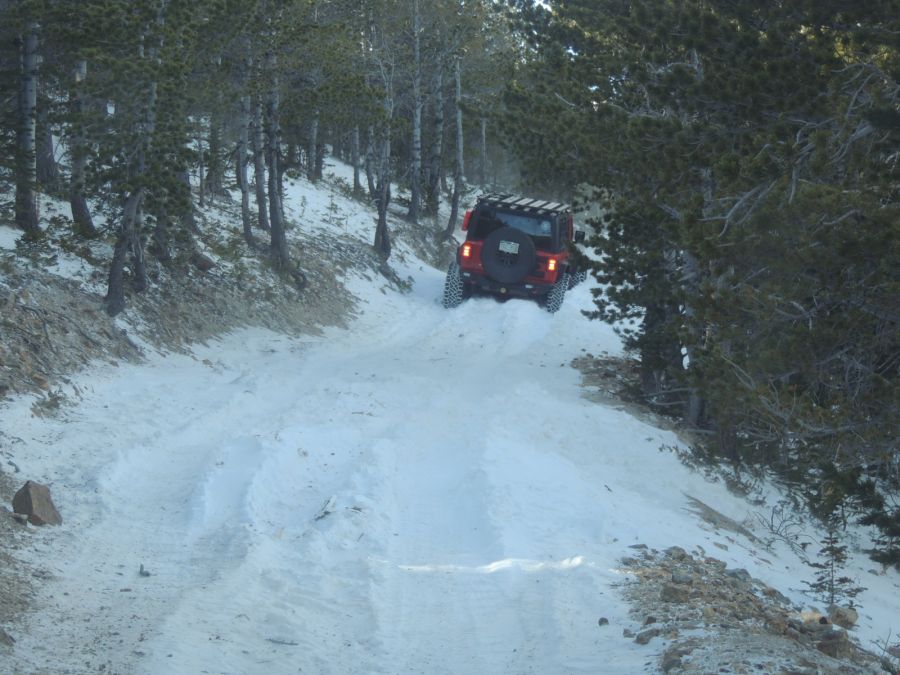
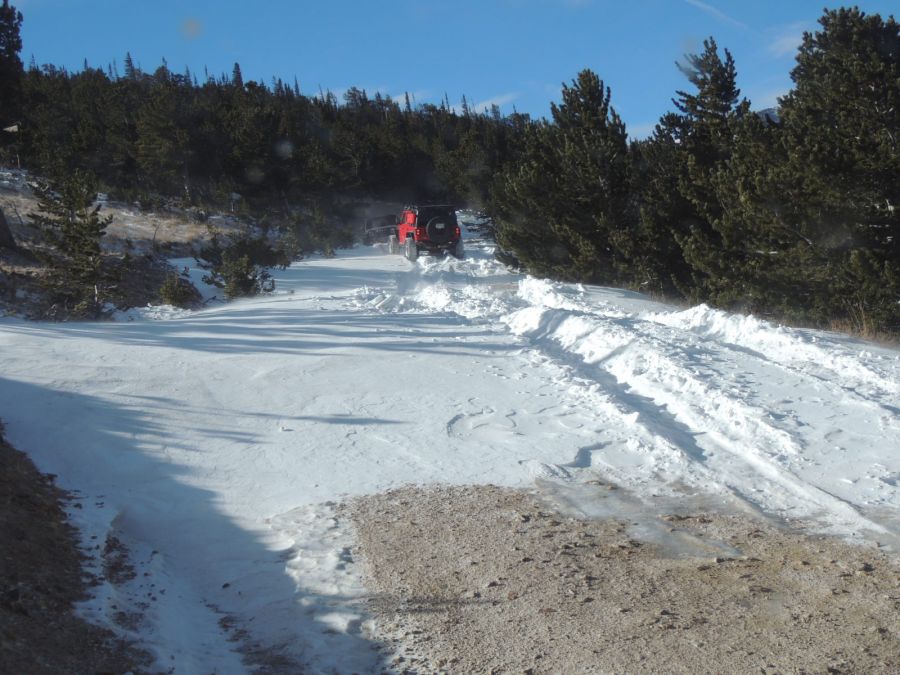
| At
the T-intersection - having taken a right or north turn. Smoke grey
jeep stuck in a drift where I was stuck. Red jeep heading up to pull it
out. |
| The wind was moving today. Much of the road is blown clear of snow - where there are no trees to block the wind. |
| Where there are trees to block wind - drifts. |
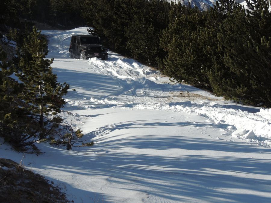
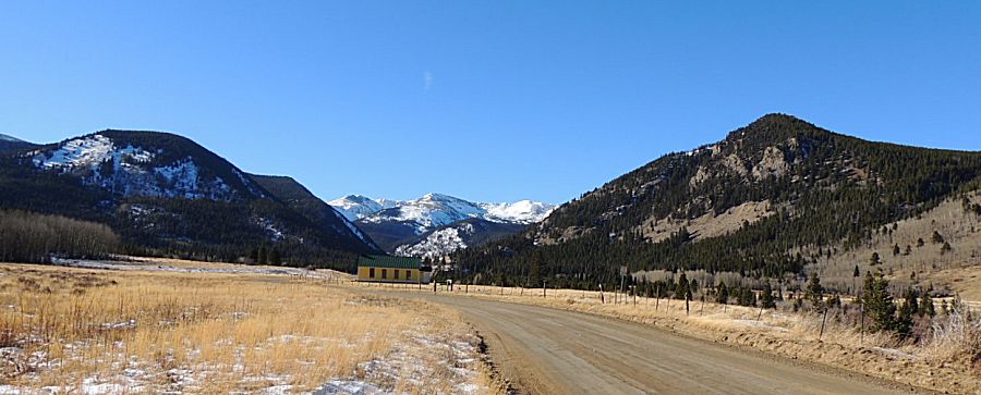
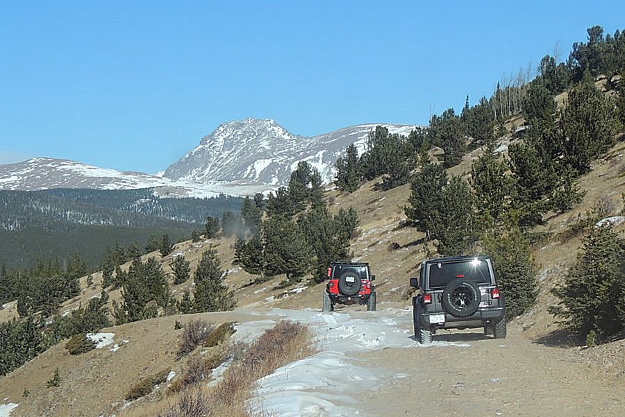
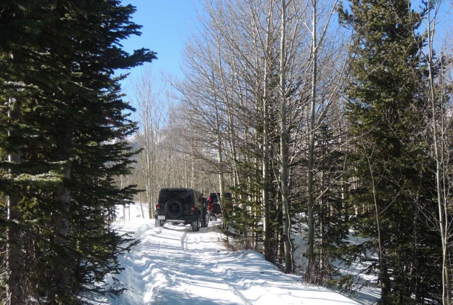
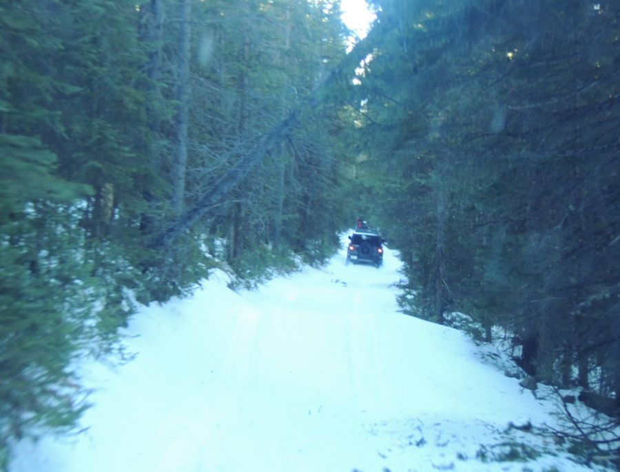
| Moving north towards Tolland. In a bit we'll turn left for the two dead end trails. |
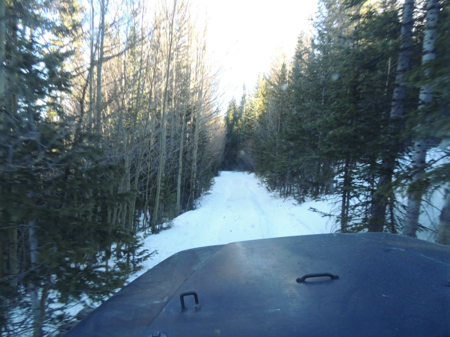
| At the end of the first (shorter) dead end finger. |
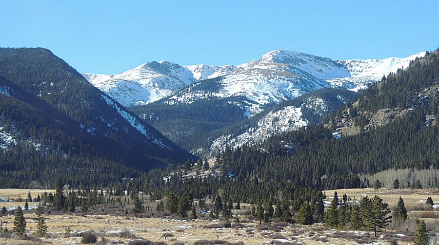
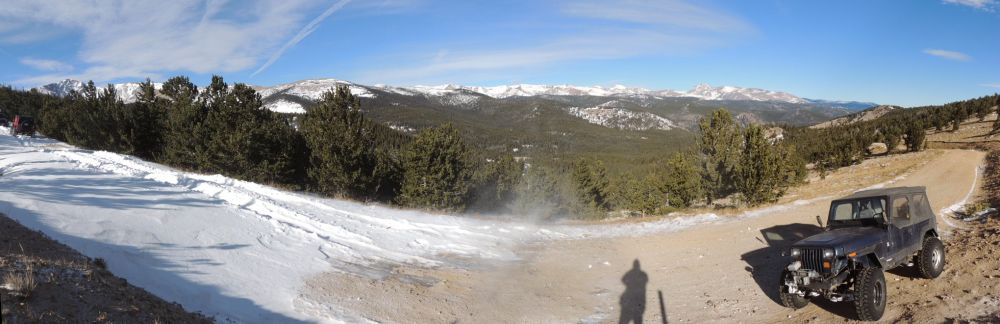
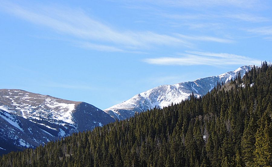
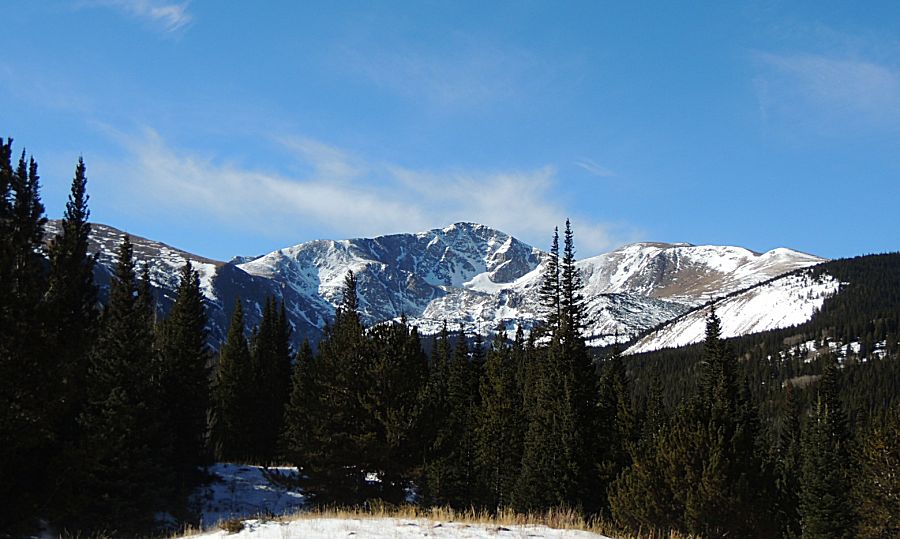
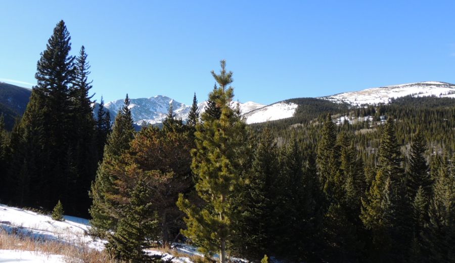
| I
believe the snow capped peak to the right is James Peak. You might be
able to make out, at the left area of the photo - two straight lines.
That is the Kingston Peak trail - a popular above timberline trail
close to town. |
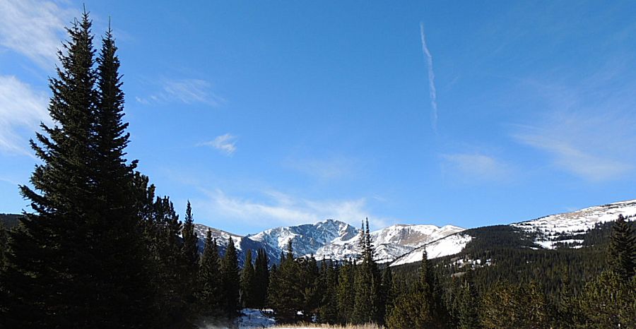
| Pine tree canyon - no crazy wind. |
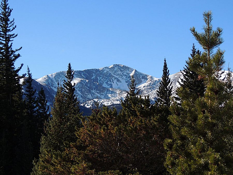
| James Peak |
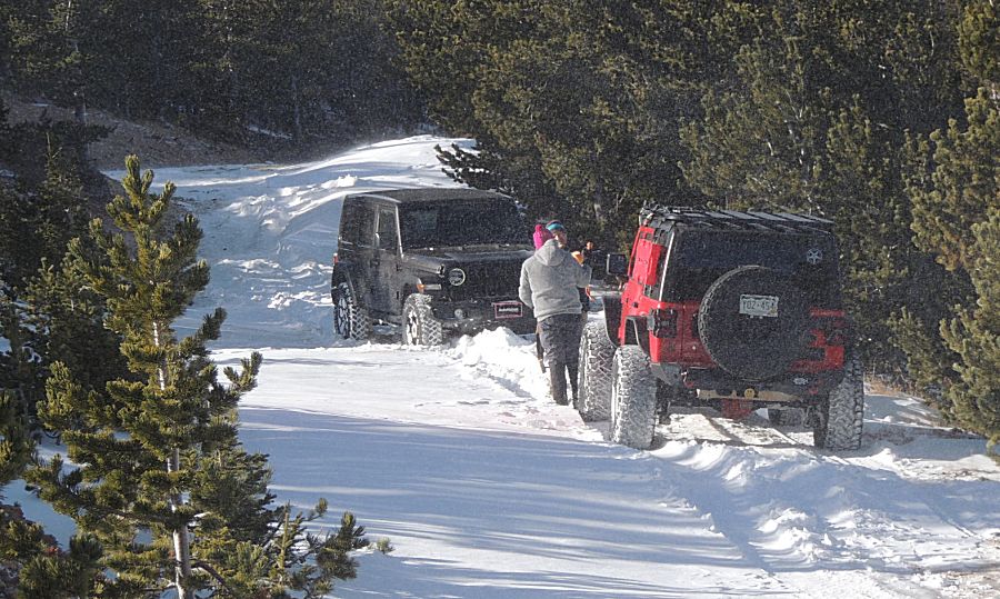
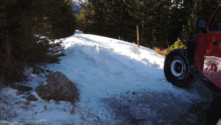
| A
sizable snow drift on the second dead end trail. Red jeep broke through
with but one tug to pull it out. Ground on either side was mostly clear
of snow so there was no concern of being stuck for long. |
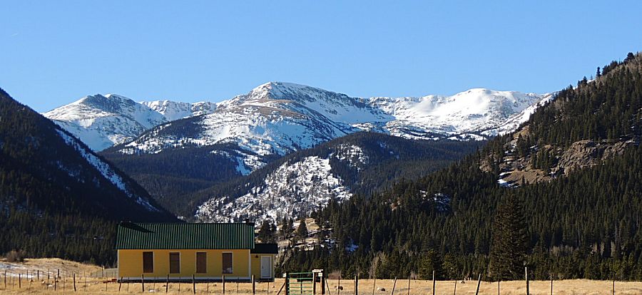
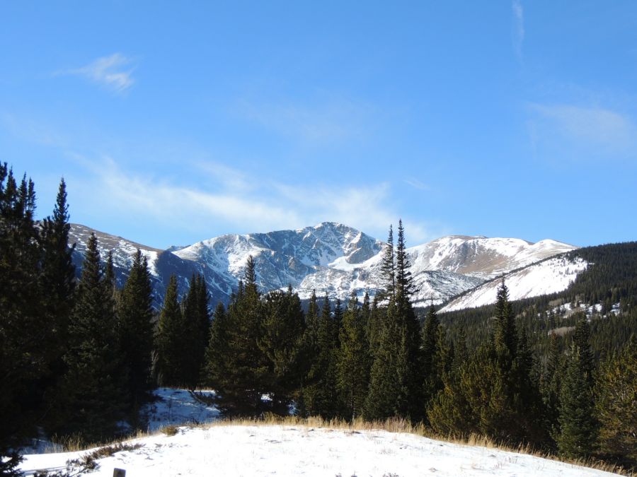
| James Peak on a clear day |
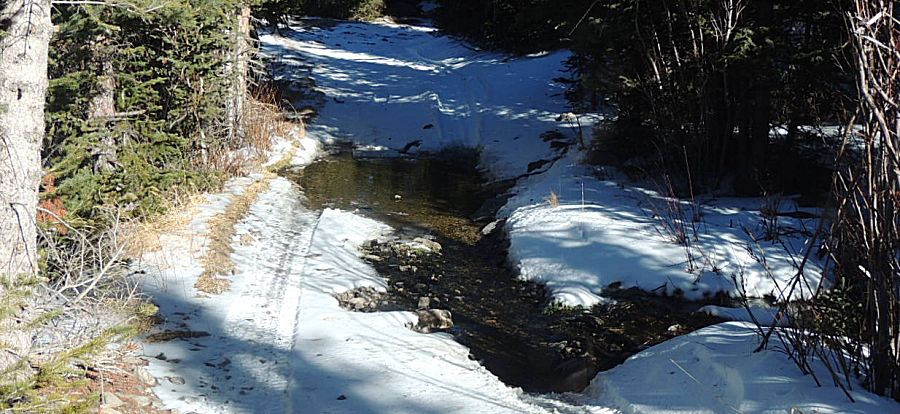
| There
was running water in some of the creeks / streams but this open area of
water caught my eye - it wasn't frozen over. Clear mountain water. |
| I took a two mile jump to the eastern portal of the Moffatt tunnel. We aired up the jeep tires and all headed home. |