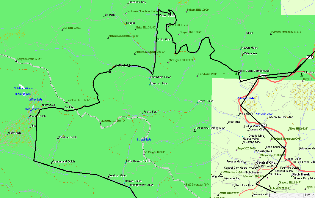
Pickle Gulch, Miner's Gulch, Yankee Hill
|
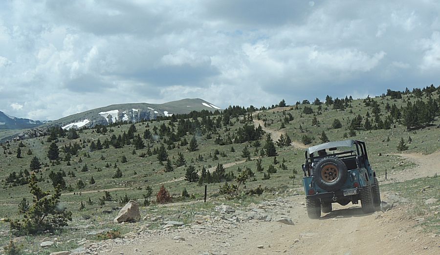
A
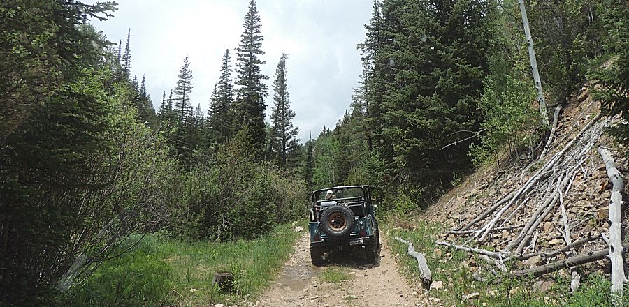
counter-clockwise loop today. I came down the red road to the Pickle
Gulch Campground. From there I met the group (about 12 or 15 vehicles -
a large group). We split into two groups. From the Pickle Gulch
Campground, we traveled the curvey line. The straight line at the top
center was ?Apex road? A few vehicles headed home after that stretch of
trail. The second portion of trail will have a couple spots that are
higher in difficulty. For the folks that went to the difficult part
only five of us went through the difficult part - many looked and
turned back for home.. |
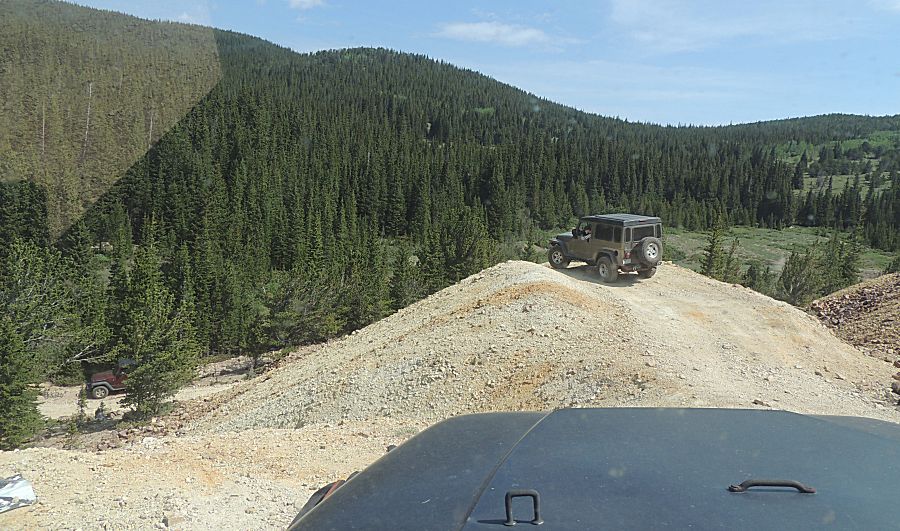
| Trent and guest |
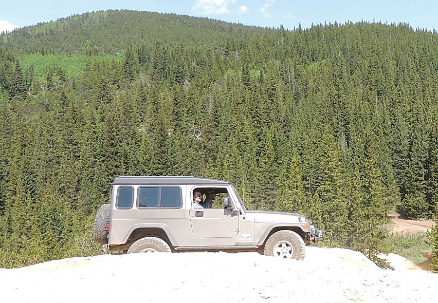
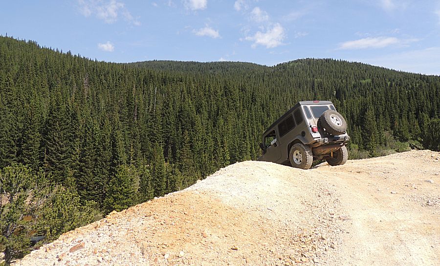
| About to drop down a steep slope We're riding on old mine tailings / waste |
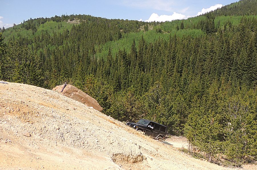
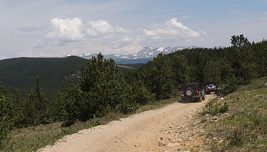
| Shane driving up one of the other paths |
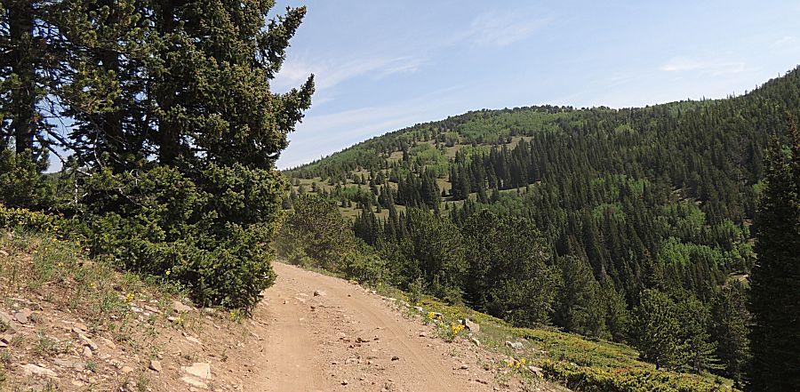
| Pictures flatten the view and don't show the steepness. |
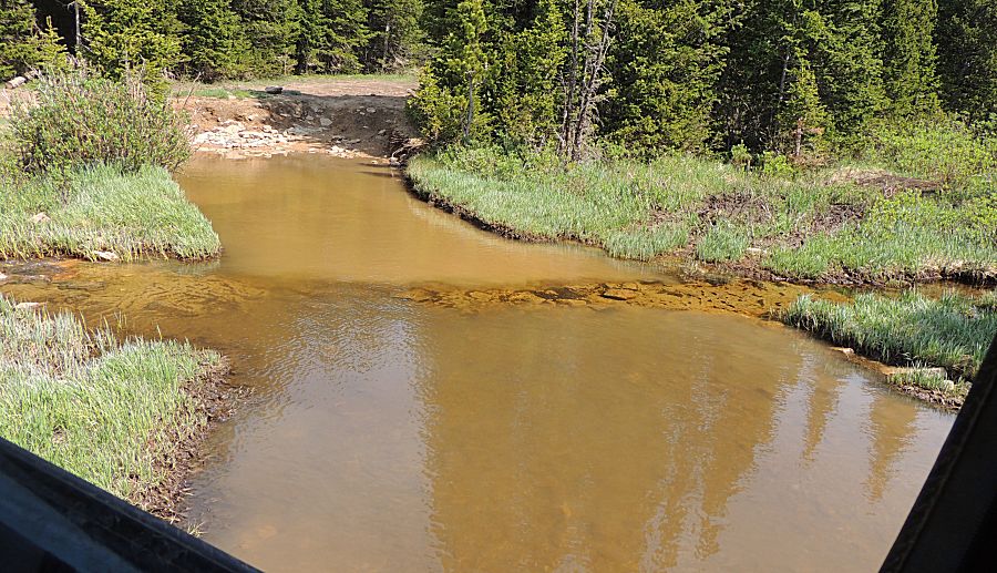
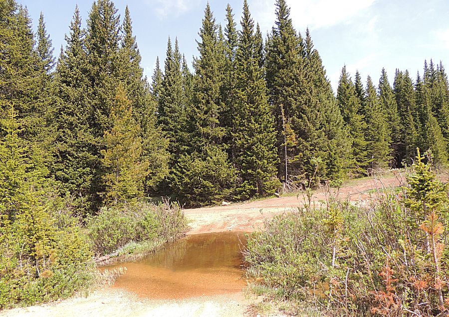
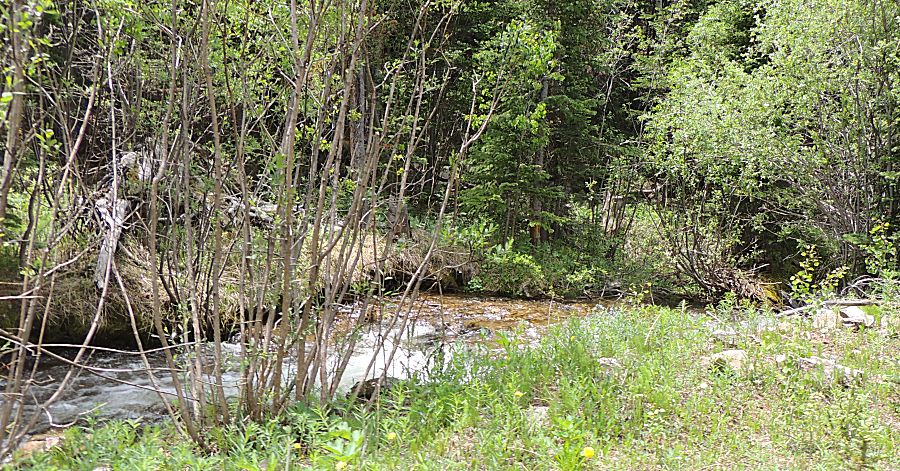
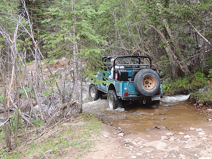
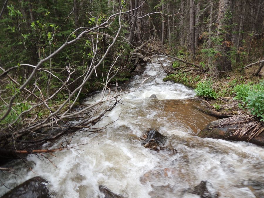
| The water has the tint of mine rock |
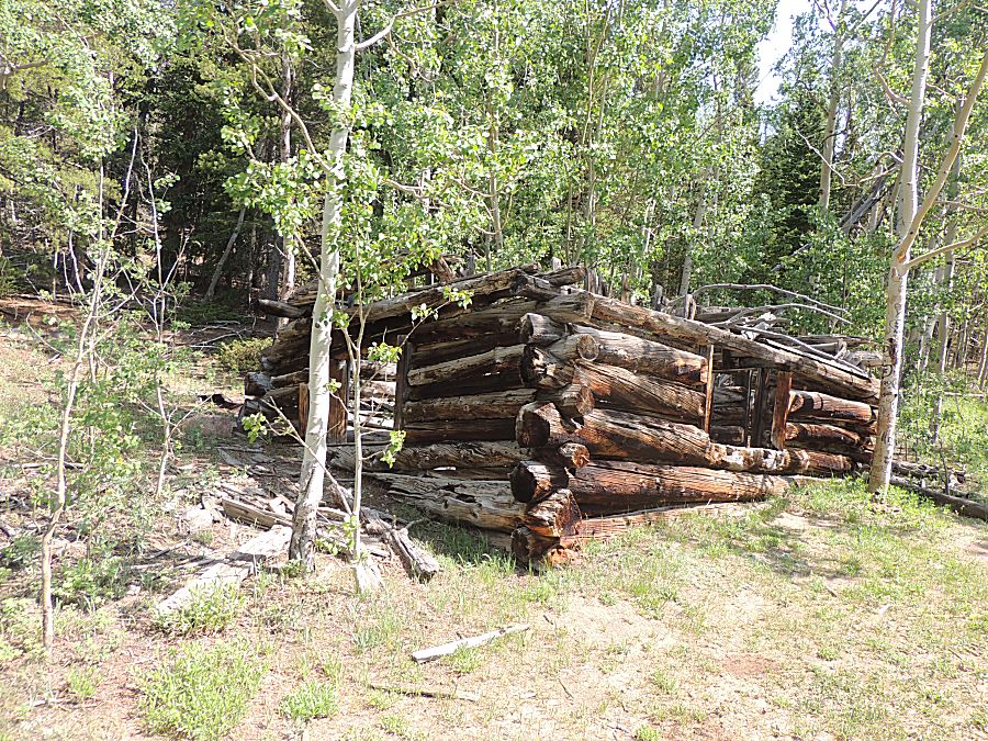
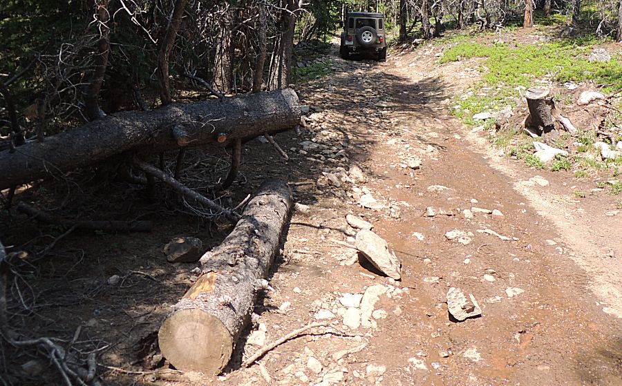
| Deadfall A few years back we came across this tree laying across the trail. The group spent a bit of time clearing it. Today we'll enjoy driving past it w/o doing any work. |
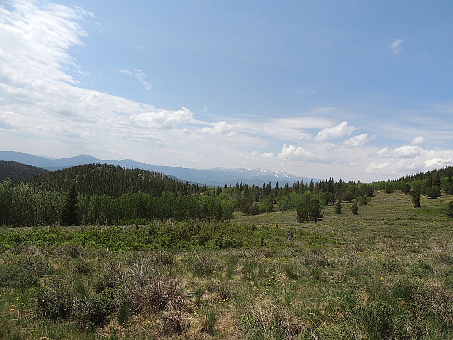
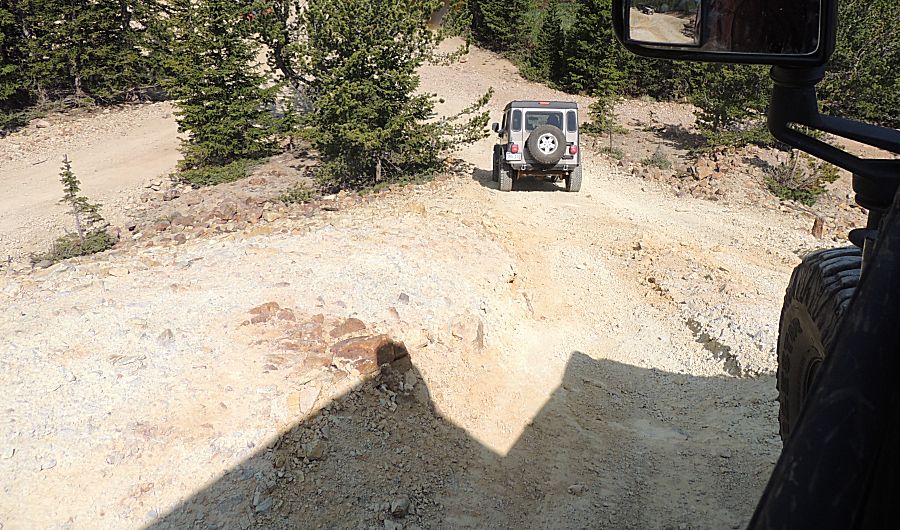
| Nearing the end of the first half of the trip. |
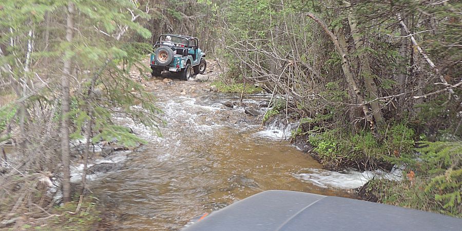
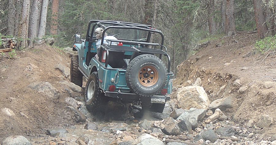
| From
that straight road at the top center of the map, we have now turned
west. Those looking for more challenge are heading up Miner's Gulch. A section of it runs in the creek. Wet tires on wet rocks will make things more challenging. |
| For
the five vehicles processing through this area, we spent about 50
minutes. James, here, zipped through in about three minutes. I made a
poor decision and needed guidances from Janes and Trent to get through
- in perhaps 10 minutes. The last jeep in our set of five had the
largest tires - it was able to go over one or two of the rocks that
were causing issue for most of us. |
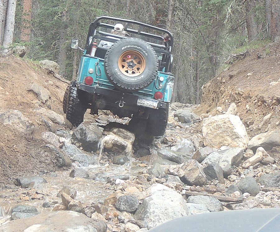
| The
tires on the right side of the jeep are atop one of the larger rocks. I
had my passenger tires to the right of that rock - and it was keeping
my rear axle from moving forward. |
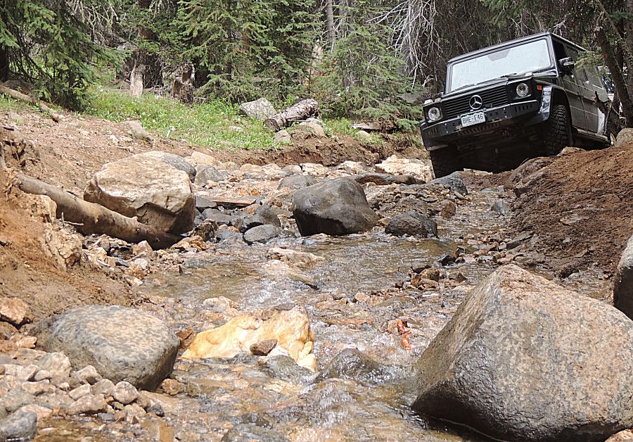
| Trent tried and then took a break. Shane giving it a go (with success). |
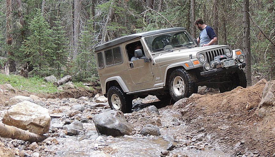
| Trent was willing to try again. A different line and success. |
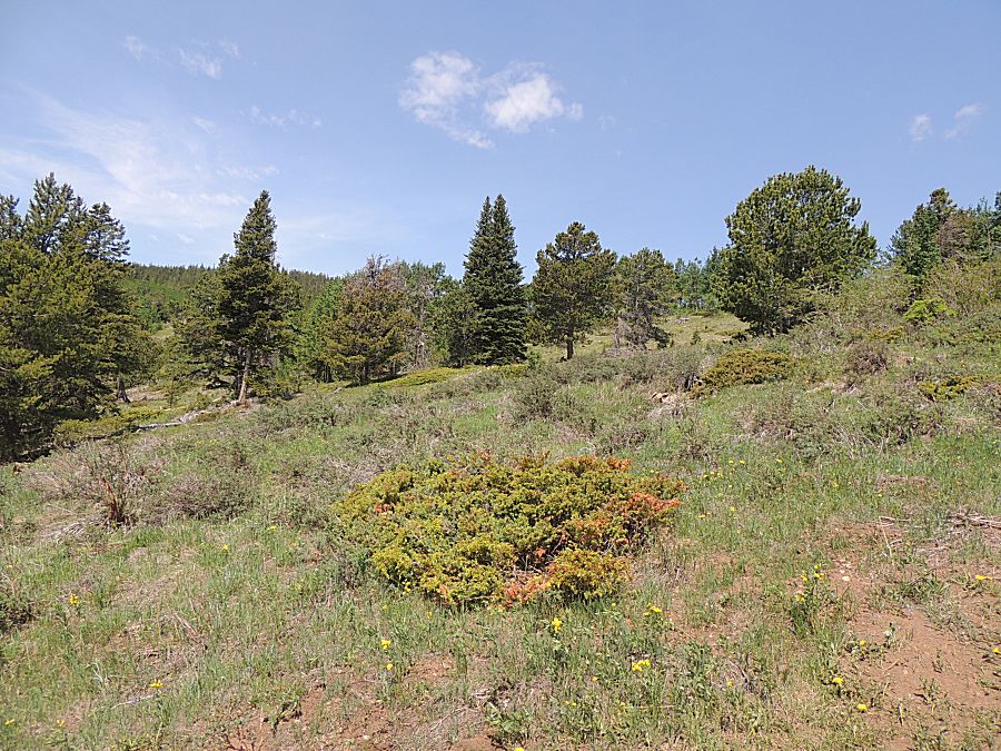
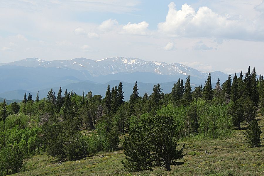
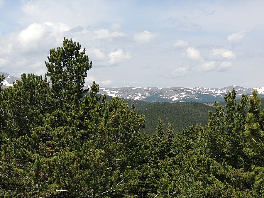
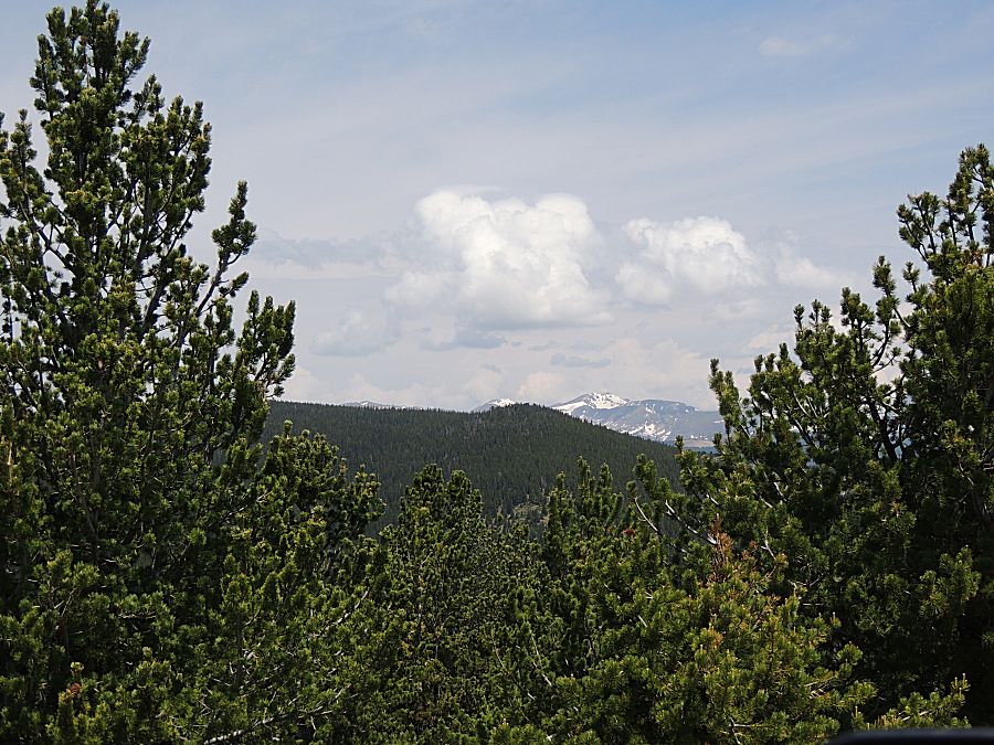
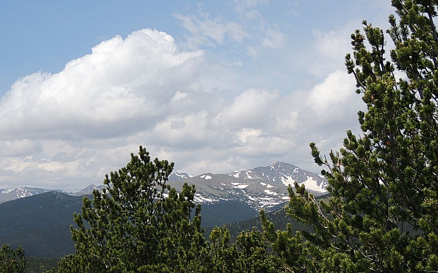
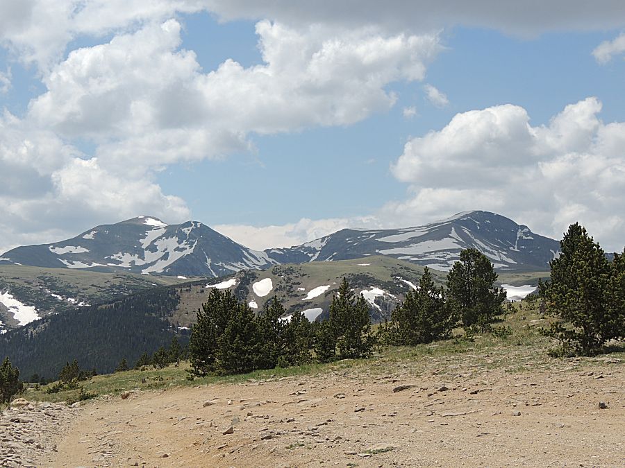
| Up near Yankee Hill - with the wind. |
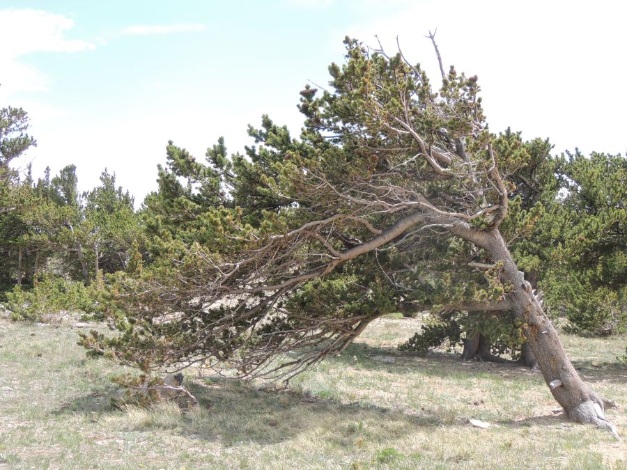
| and nice views. Right about timberline - thinning trees. |
| Of
our remaining five, three turned east to head to Central City. James
and I will head down thru Alice. He'll I-70 to home and I'll I-70 for a
short bit to route up through Central City taking the two lane Peak to
Peak highway to Nederland. There I'll drop down to Boulder to visit
Longmont for a client and head home. |