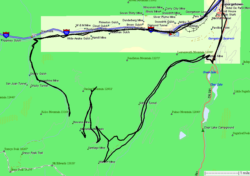
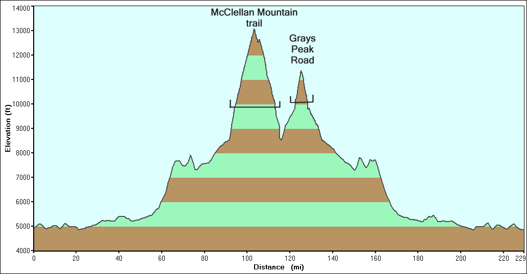
McClellan Mountain Fall Colors
|
The
goal is to visit the McClellan Mountain trails. These trails are the
old railroad grade for the Argentine Central Railway - a dead end
railroad that went to near the peak of McClellan Mountain. Run an
Internet search for the railway name and you should find some of the
photos of the engine and passenger cars near the mountain ridge. The
railroad was not able to use curves to move up the mountain. It used a
zig-zag method where the engine would pull the cars into one dead-end
and a switch at the tail end of the train would be moved. The engine
would then push the train up the next section - and in to another dead
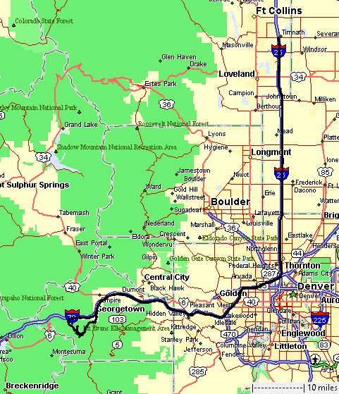
end for yet another switch to be thrown. Fall colors are in grand fashion - and so were people. I-70 from around Evergreen to near Idaho Springs was stand-still to 6 mph. It delayed arrival to Georgetown by 45 minutes. From Georgetown, which was packed with people, to the trailhead up Guanella Pass road was the same - packed with people. Folks were in leaf peeping mode - driving slow, turning around in unusual spots, parking whereever a car could fit. Everyone was out to enjoy the day. Sean, the only other jeep for the trip today, arrived at the trailhead a couple minutes before me - he was stuck in traffic just as I was. We trekked up the trail (leaving the packed / busy trailhead at Guanella Pass road) a couple minutes and pulled over to air down the tires. The plan was to drive up the creek route, visit McClellan Mountain, then maybe visit Argentine Pass (we skipped Argentine). Curiously, we were shut down on the section to the mine at the north of McClellan - new season snow on the trail. After the trail, I decided to drive up to the Grays Peak trailhead - this is the valley that's visible from McClellan Mountain. A few photos there and then it was Interstate driving to home (no multi-hour trek "west of the front range" to get home as last week was). |
|
A close-up of the trails with the Grays Peak road to the west. |
|
|
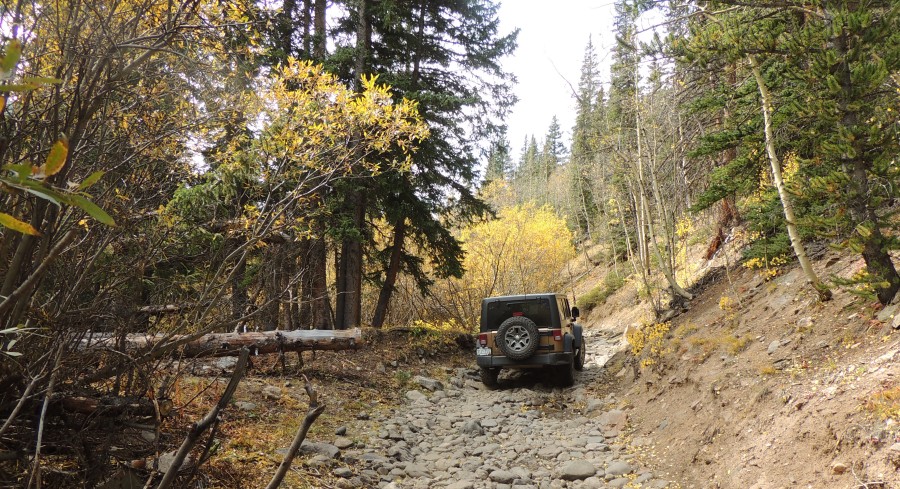
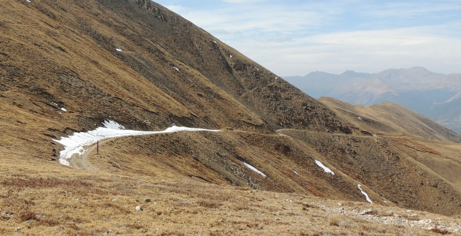
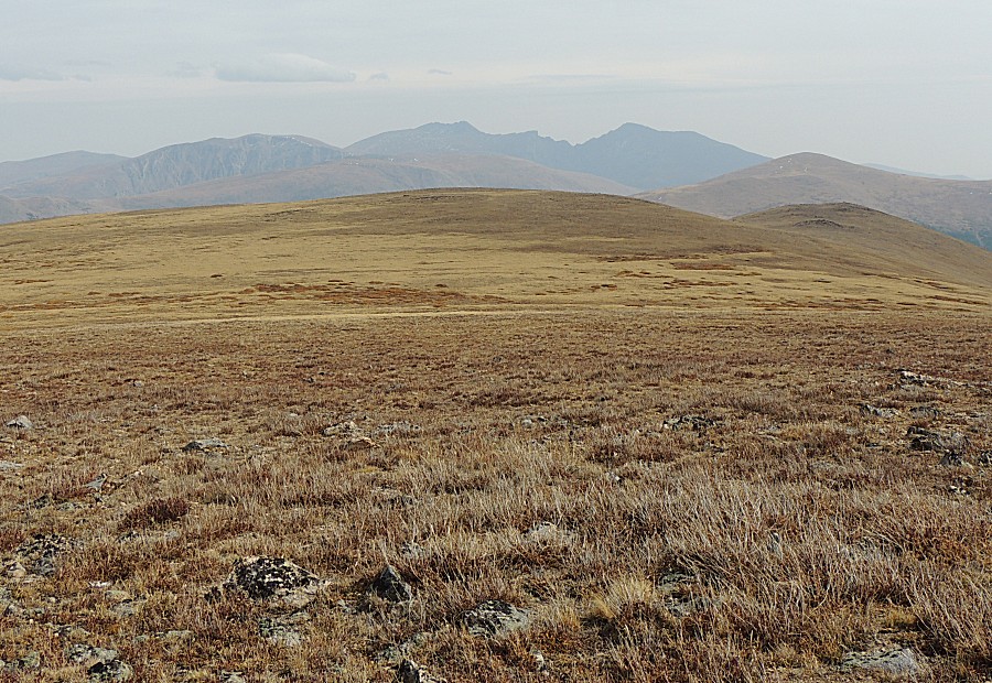
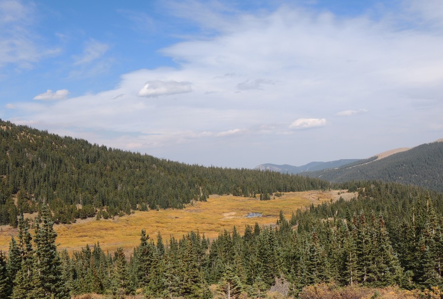
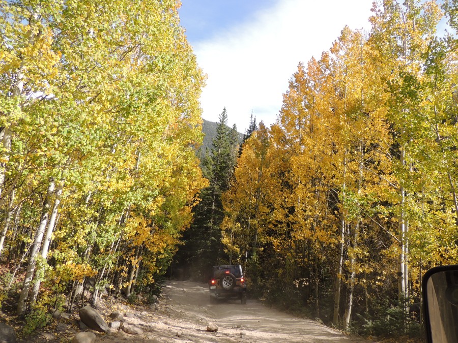
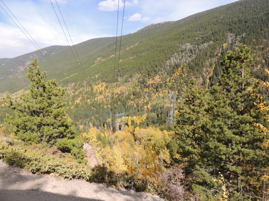
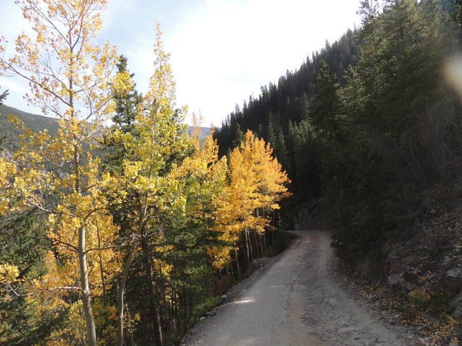
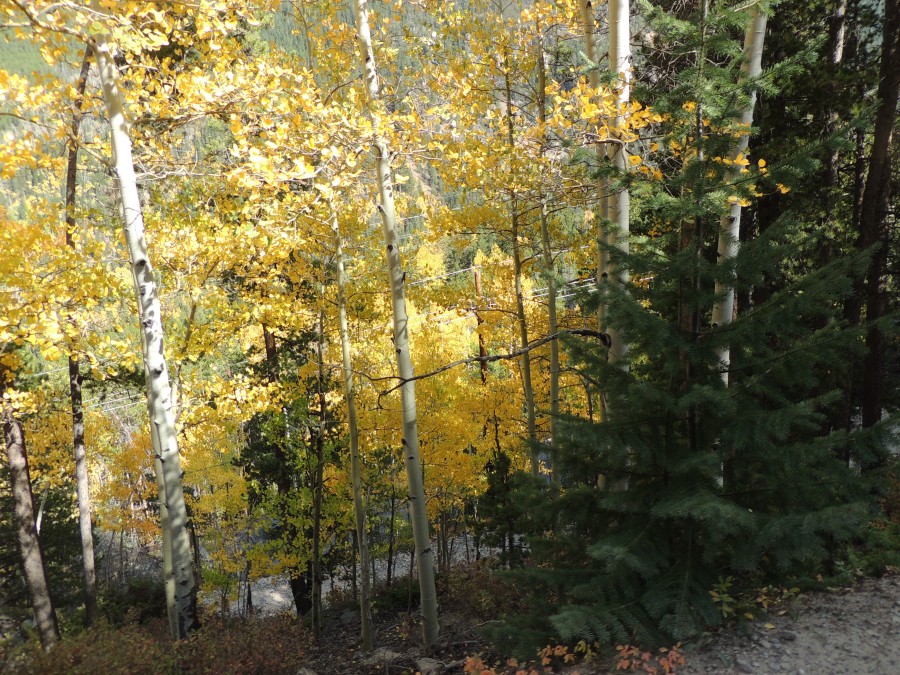
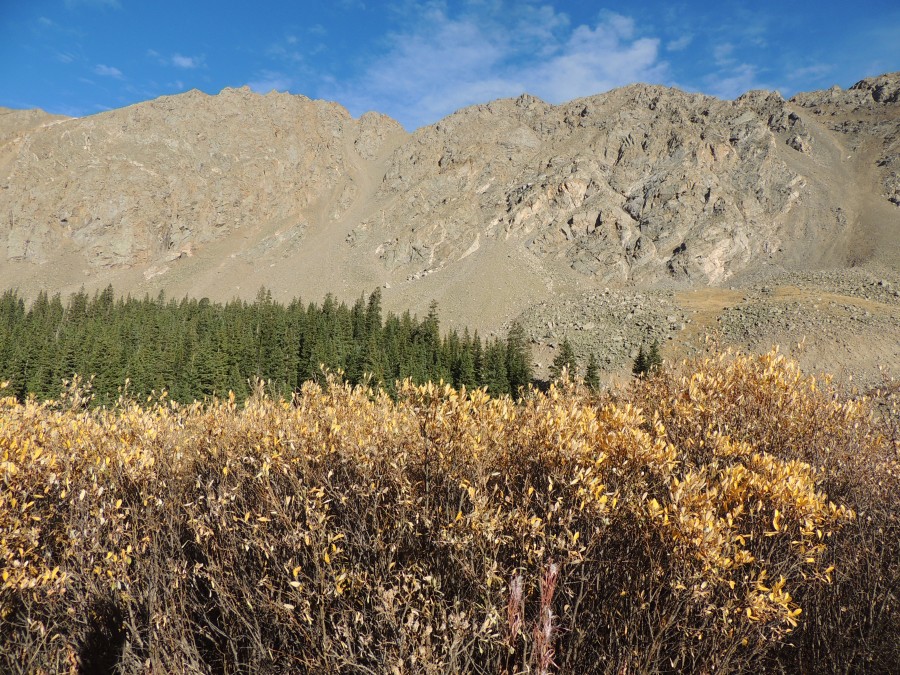
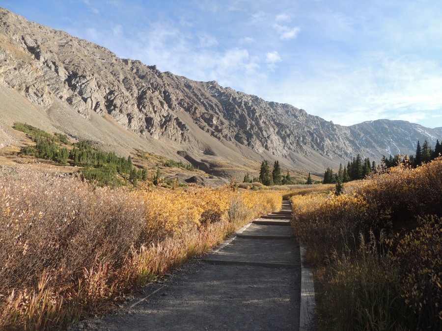
| Nice colors today! |
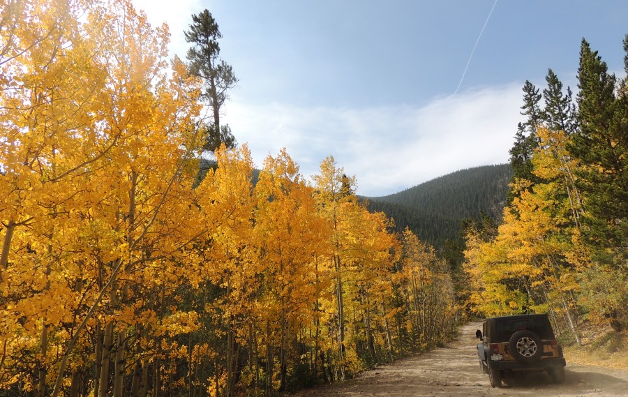
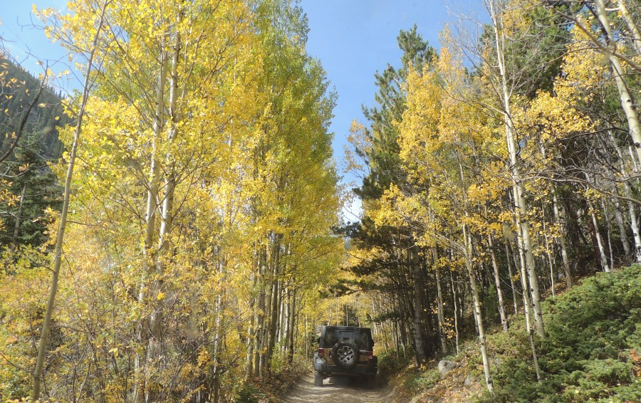
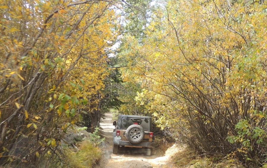
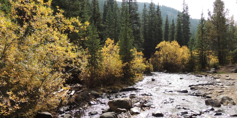
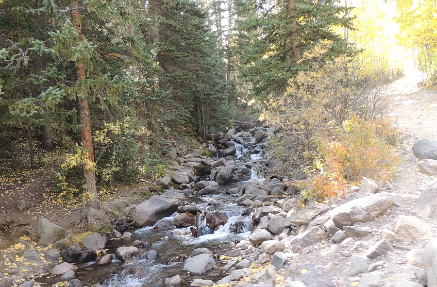
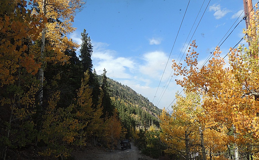
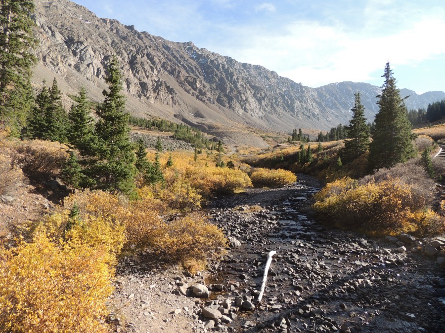
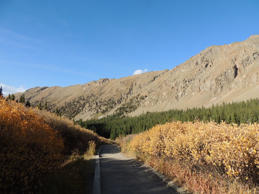
| Heading up the creek route - water was flowing - in the creek and down the small mountain flows - though things are more dry. |
| The stretch where we ride in this flow - passing between the yellow bushes - and then formally crossing the creek. |
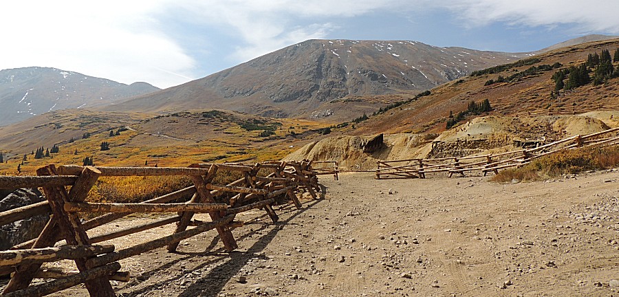
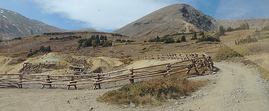
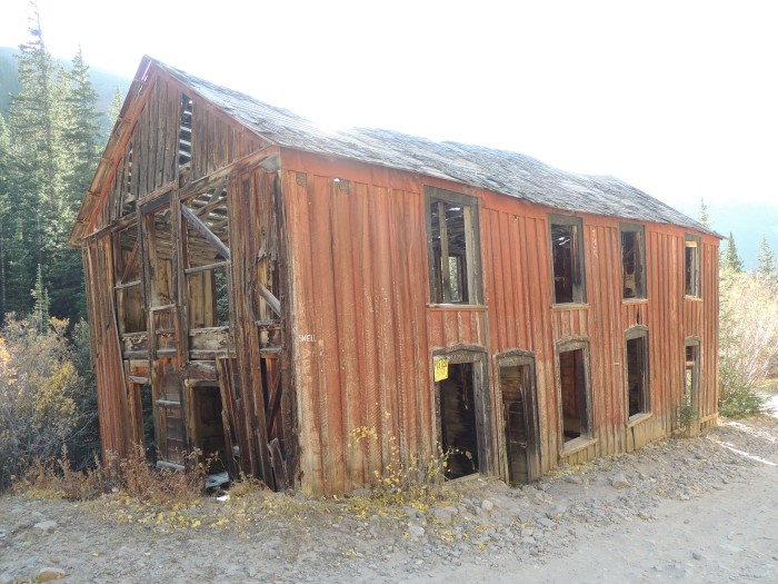
| New keep-out fencing at the Waldorf Mine site. |
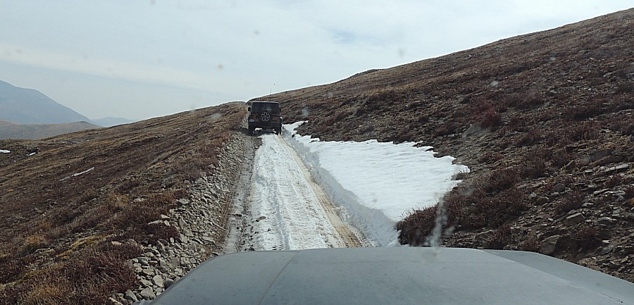
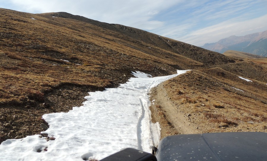
| New season snow on the trail. We had a reasonable snowfall about two weeks back. |
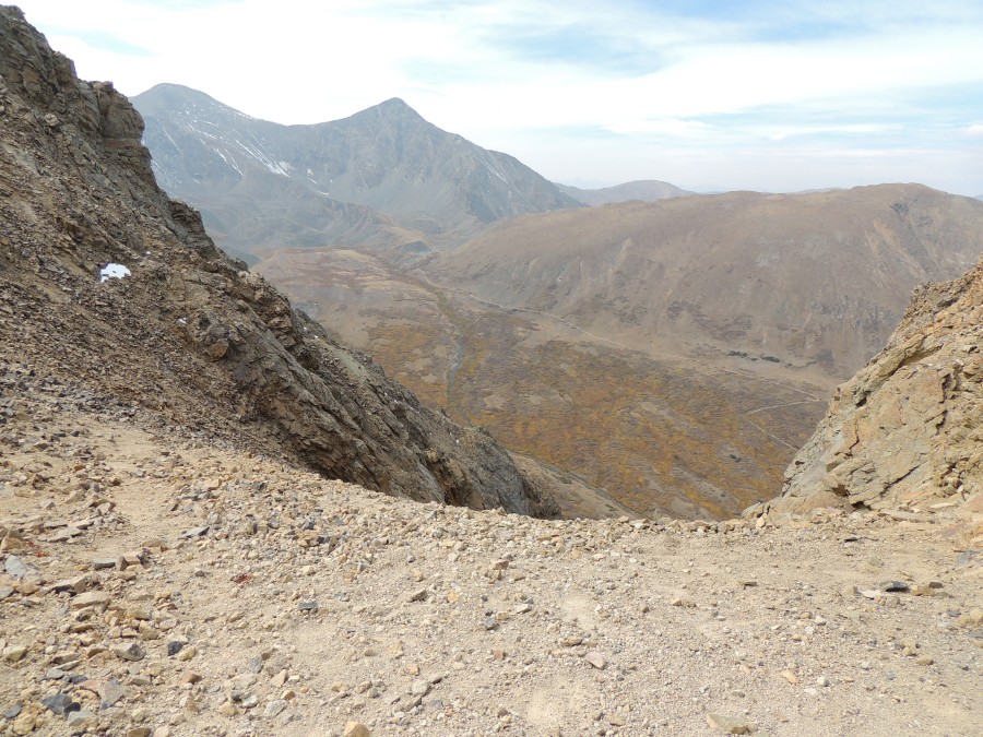
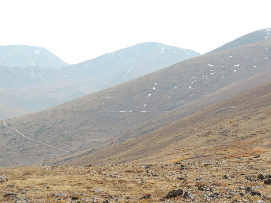
| At
the McClellan Mountain stop. Just to the right of this picture, about a
100 foot easy walk up the rocks, is the peak for McClellan Mountain.
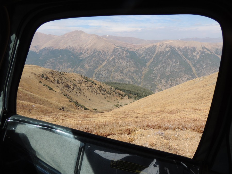
The wind was crazy strong through this gap. The trail in the valley below is for the Grays Peak (& Torreys) Peak trail. I'll walk the start of this trail later today. In the distance, to the left are the two peaks (Grays to the left, Torreys on the right) |
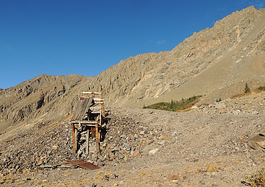
| The
long shelf road trek to the mine - not today. Fresh season snow, with
the shelf road, will have us not trying to push through. |
| A bit of a slow down. In the valley is I-70. Elevation at this spot: 12,528 feet Elevation of I-70 we're looking towards: 9,568 feet |
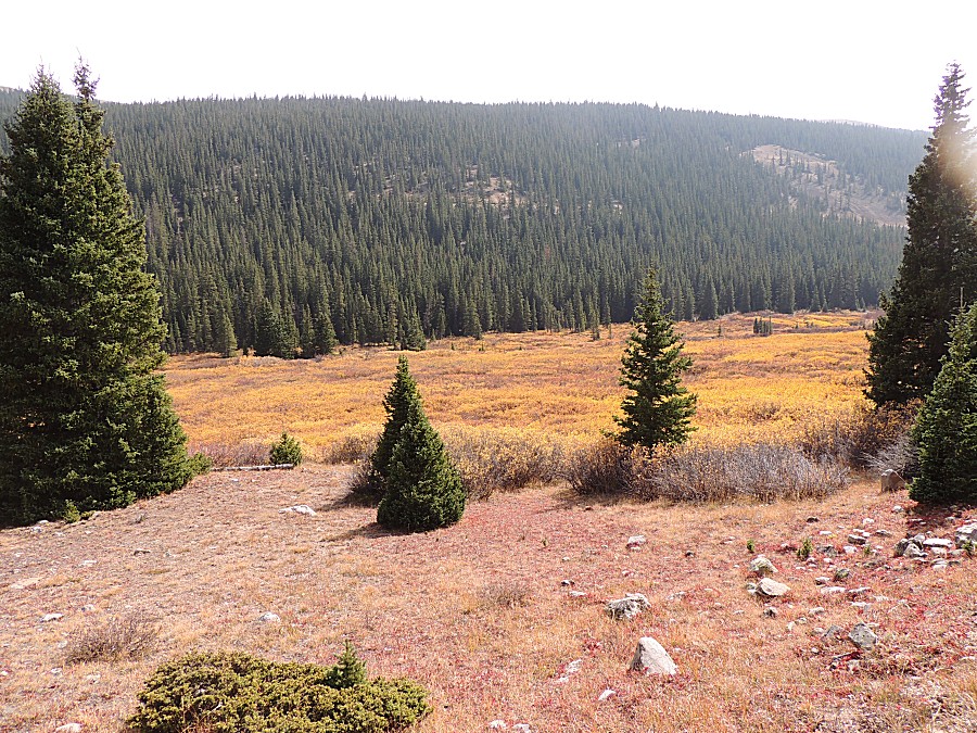
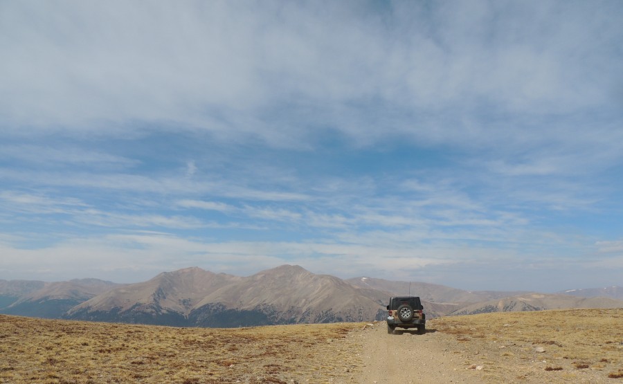
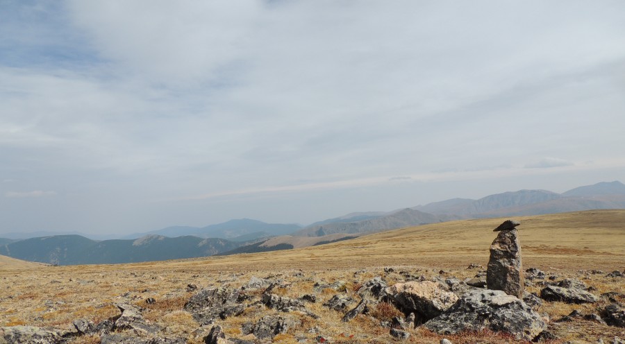
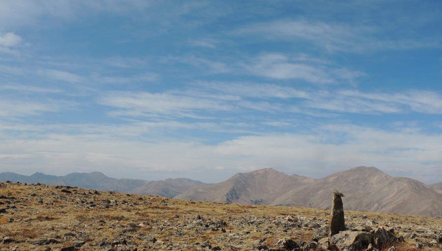
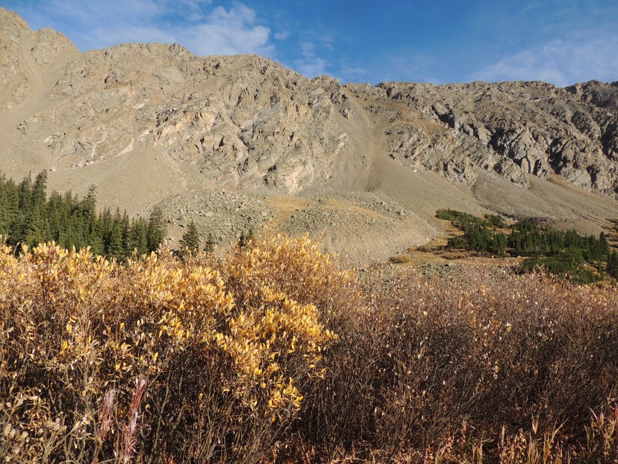
| At the enjoyable vista point for McClellan |
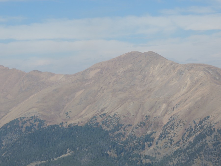
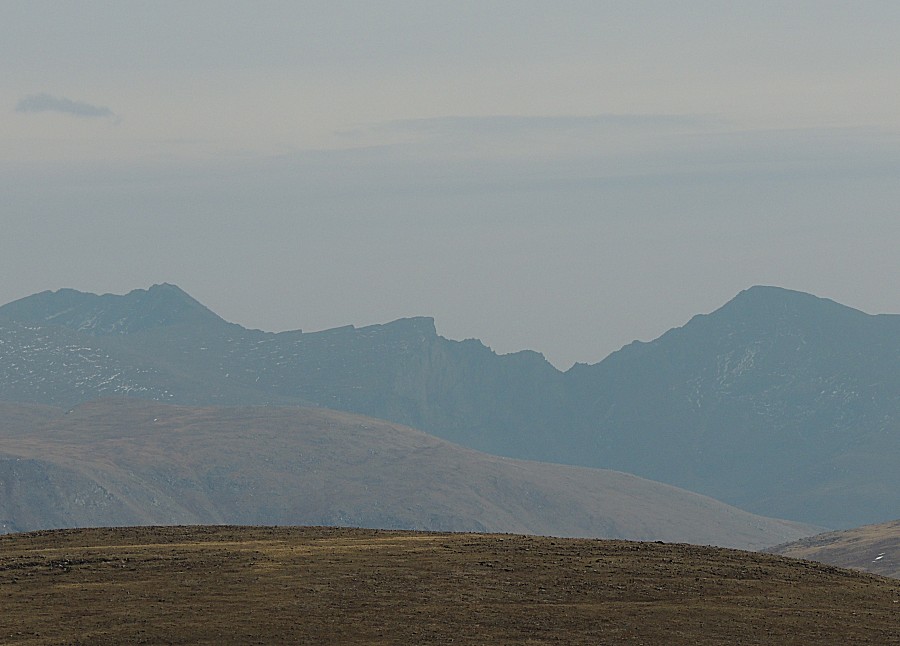
| Mount Bierstadt (14,065 feet) right of center. It's a popular "14-er" to hike. |
| Mt. Bierstadt, right, The Sawtooth (left). Mt. Evans is back there - I don't know if that is it on the left or if it's hidden behind the ridge. |
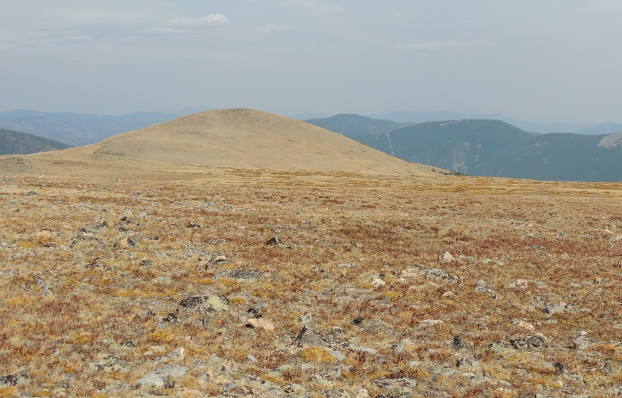
| Looking back to the trail / old railbed. |
| Heading down - just into the trees |
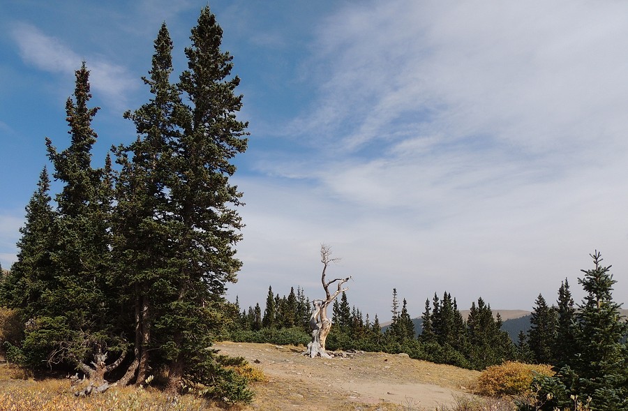
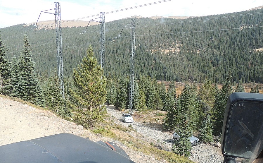
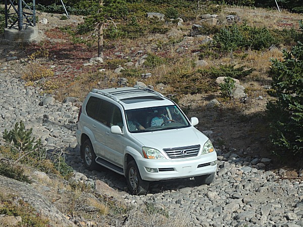
| What's that white thing? It doesn't look "typical" for a trail. |
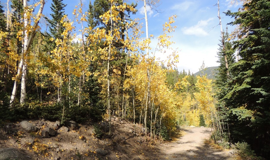
| Down in elevation to where the aspen trees grow. |
| Back to the trailhead |
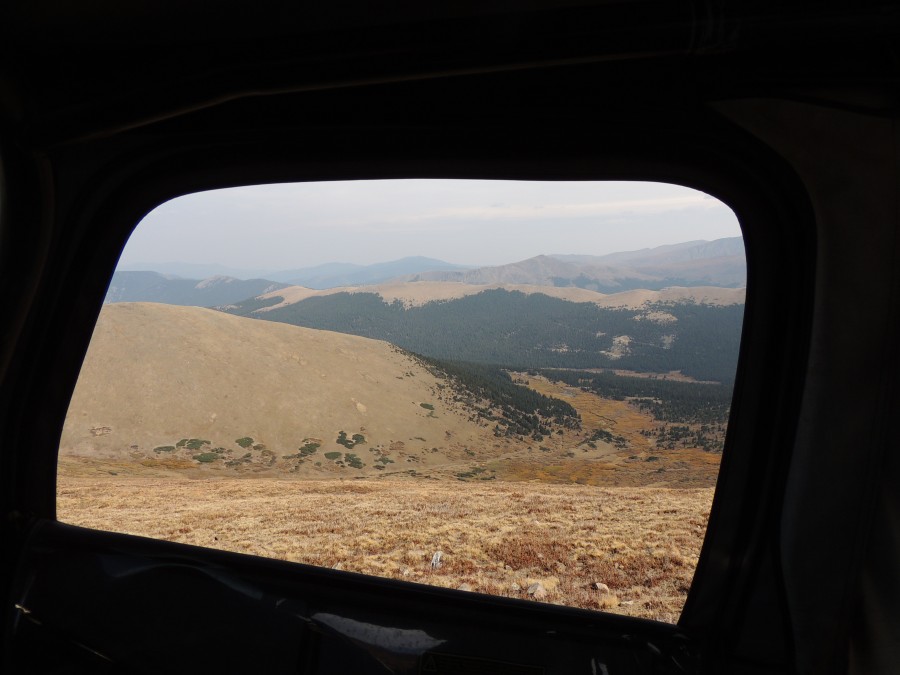
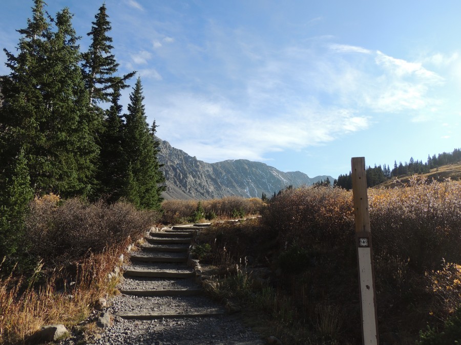
| Jump over to the Grays Peak trailhead. We were in the jeep on the other side of the mountains visible to the left. |
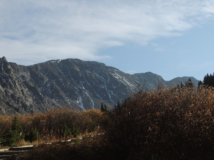
| Interesting to know we were riding along on the other face of this mountain. |
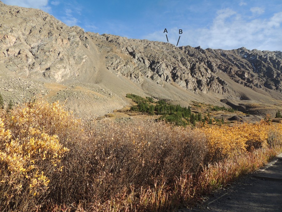
| I'm
fairly certain - "A" is the peak for McClellan Mountain (13,587 feet)
with "B" being the notch where I shot the photo shown higher in the
photo set. |
| The Stevens Mine |
| Down the road from the trailhead |
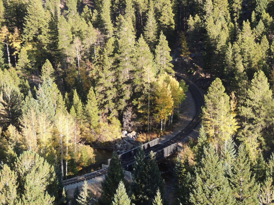
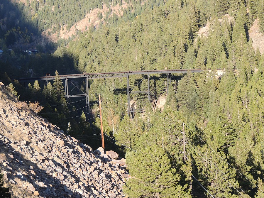
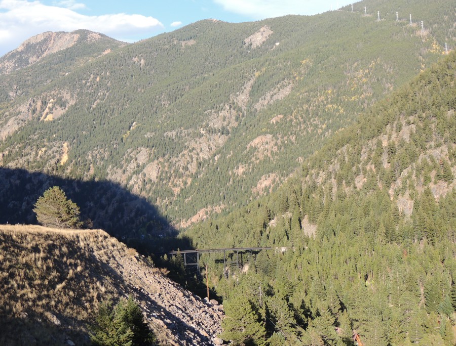
| Georgetown Narrow Gauge Railroad. This used to connect to McClellan Mountain. |