Fall Cleanup at Barbour Fork with a Long Drive Home
|
Today
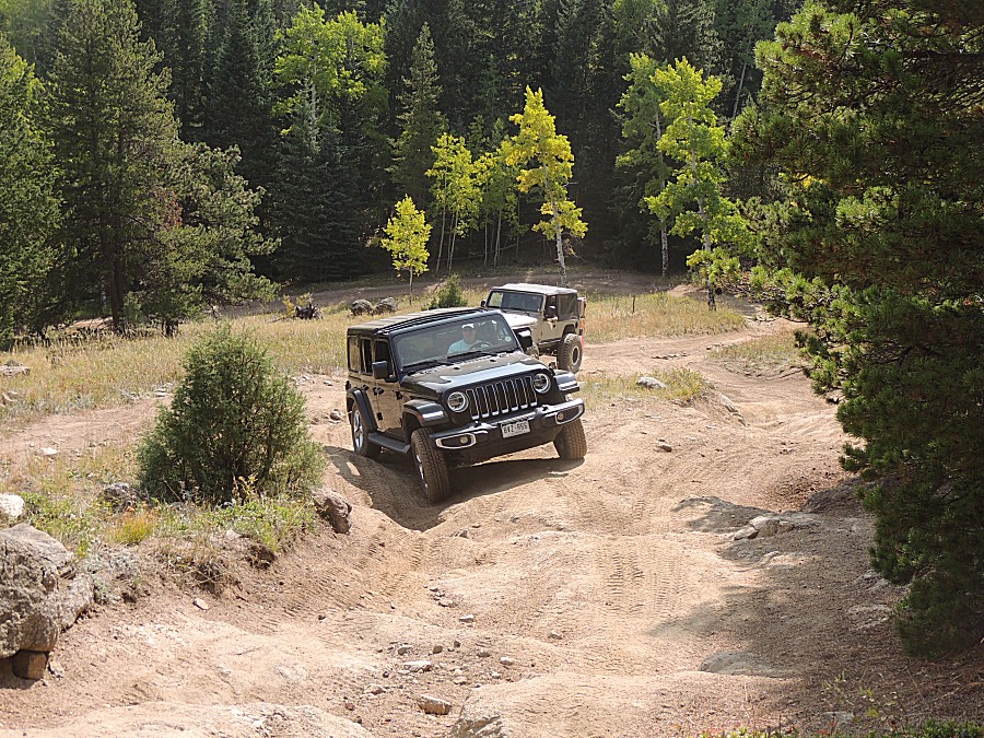
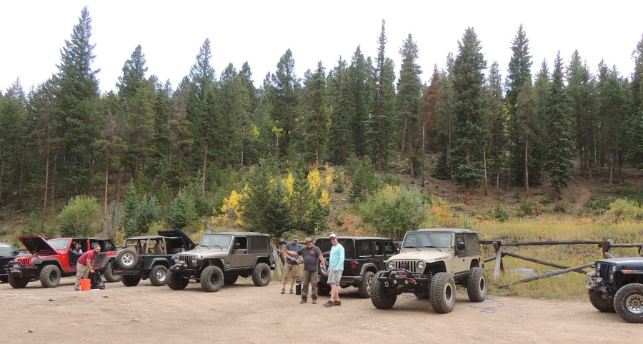
is the Fall Cleanup Run for the 4x4 group. We have a good size group
today - about 14 vehicles! The group sponsors two trails and I
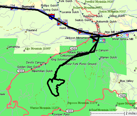
went with the 1/2 of the group tending the Barbour Fork trail - which
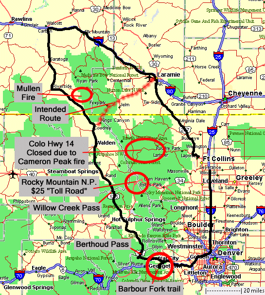
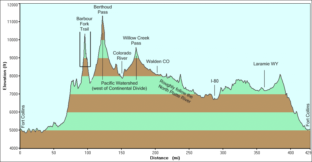
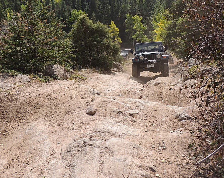
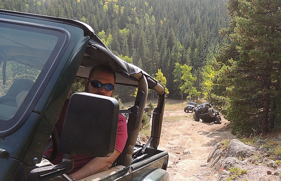
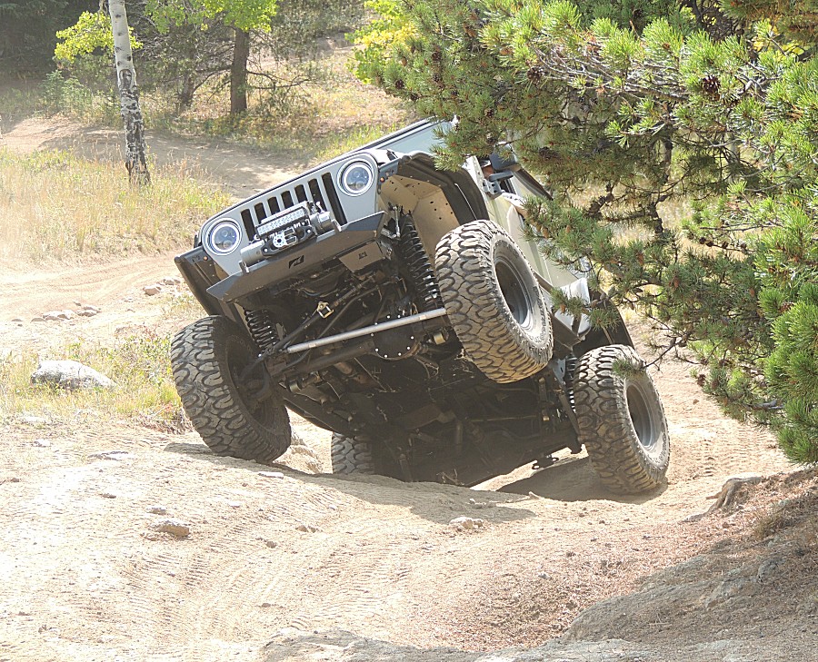
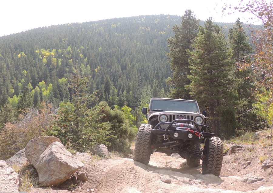
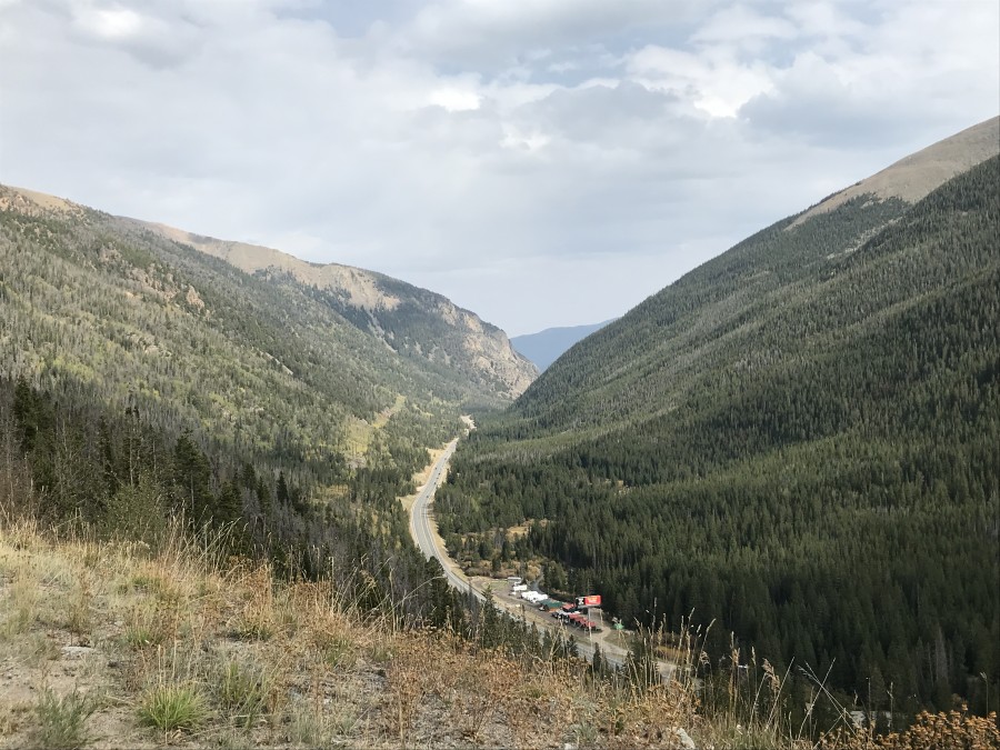
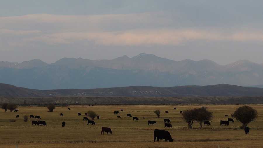
was good as I was the only person that had traveled the trail. We did a counter-clockwise loop. There was little forest use this summer and the trash cleanups went quick. Heading uphill - somewhere around the tipi - the trail is decently dug out. A locking differential or traction control is quite appreciated to get through it. The showroom-new jeep, with traction control (that works!), was able to get through it w/o any scrapes underneath or on the sides. Temperatures and wind were perfect - some sun, some shade - neither too cold nor too sweaty - bonus! Back at Idaho Springs, I had a decision to make - which route to take to get home? 1) Take the short, quick, boring Interstate (85 miles & 85 minutes) 2) Take the slow-ish and scenic peak-to-peak highway - in the mountains, but on the east side, with a thought to maybe visit some trail along the way (105 miles & 140 minutes - minimum) 3) Jump to the west side of the mountains and run up north (250 miles & 270 minutes) #1 was readily discounted. #2 had some pull. #3 won as it was "early enough" to have reasonable daylight for sight seeing on the longer route, though I knew I'd complete the day after dark. Not-Too-Unexpectedly the 250 mile route would get expanded to 350 miles when I saw some close-to-me and impressive smoke plumes. Stats
|
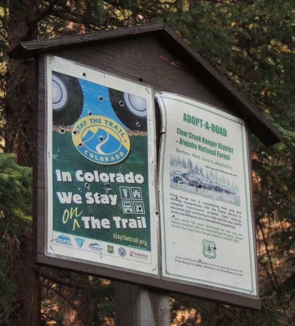
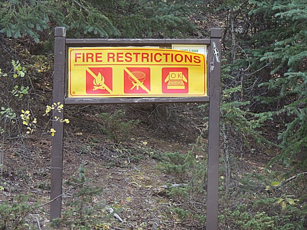
| Some bullet holes but the signs are in good condition |
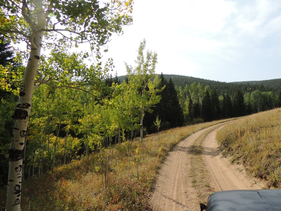
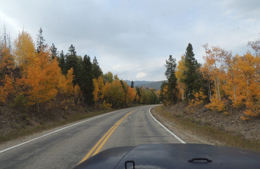
| A bit early for these aspen trees |
| Brian waving hi - clean looking jeep... |
| ...outdone by this showroom spotless jeep |
| Gerald |
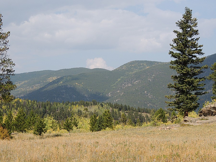
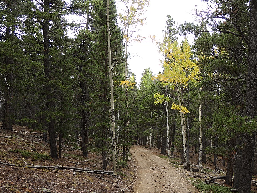
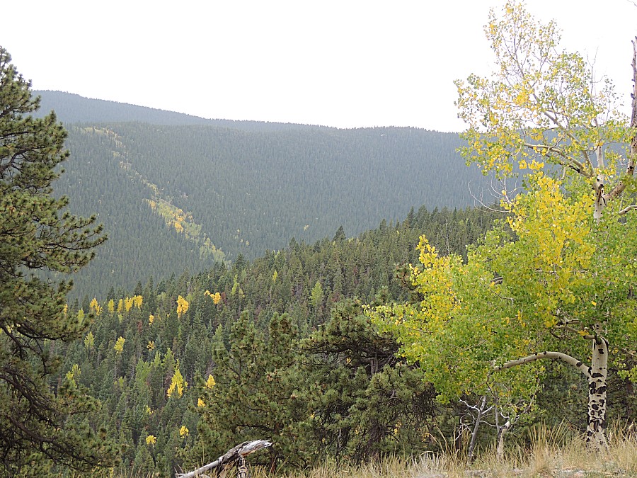
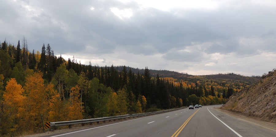
| A bit of color starting to pop |
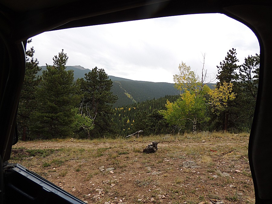
| Wrapping up at the trailhead, one gent already on the road. |
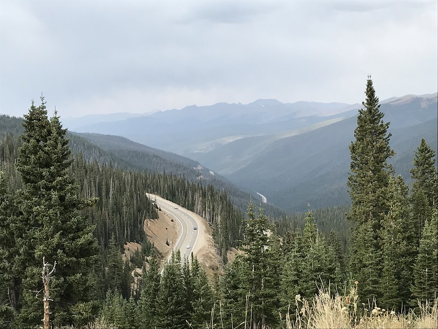
| Idaho Springs Heading west towards Berthoud Pass |
| Approaching Berthoud Pass from the south - looking south |
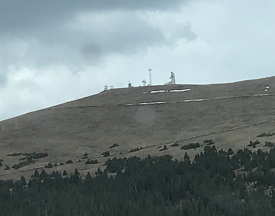
| Relays / transmission towers atop Colorado Mines Peak at Berthoud Pass |
| A nice view to the north |
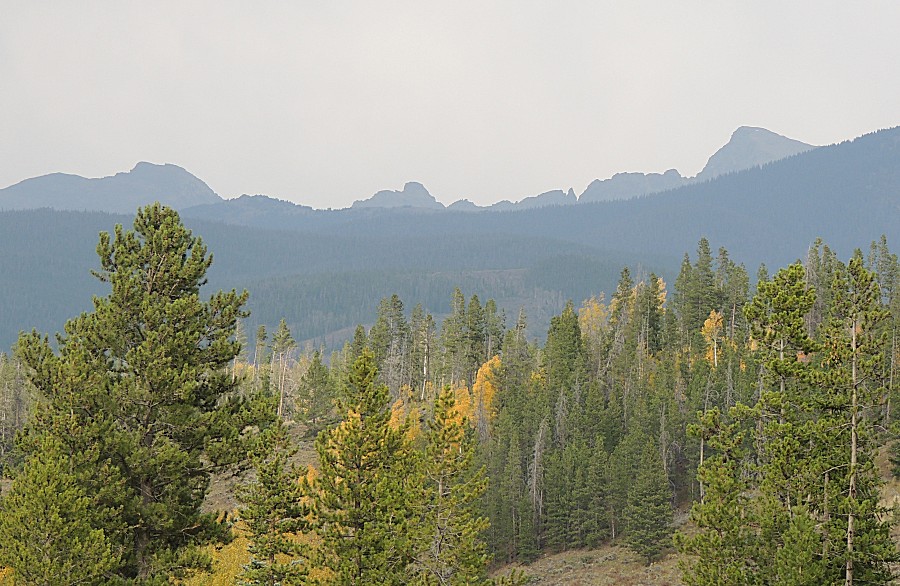
| Frazier area looking northeast That ridge is likely part of Rocky Mountain National Park If I could stand atop one of those peaks I might be able to see Fort Collins 30 or 40 miles distant. |
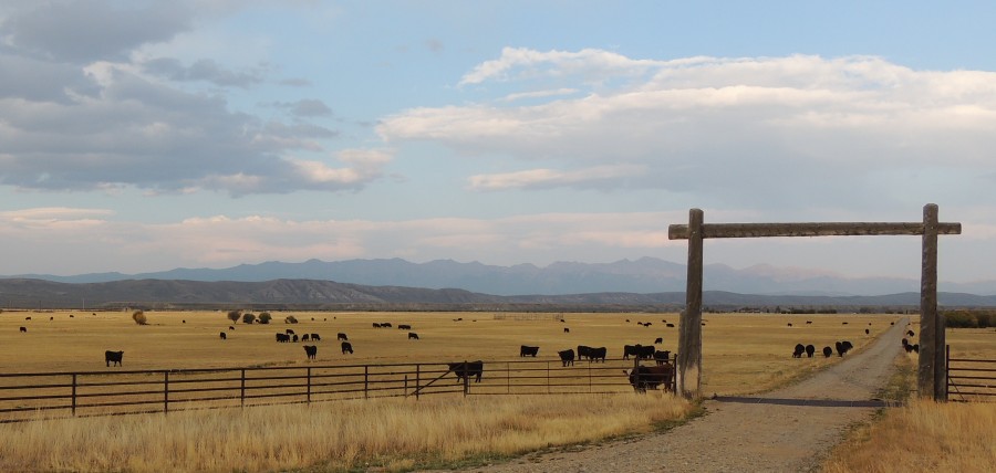
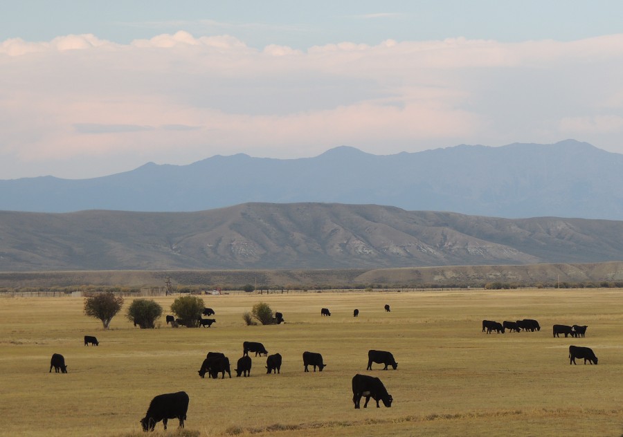
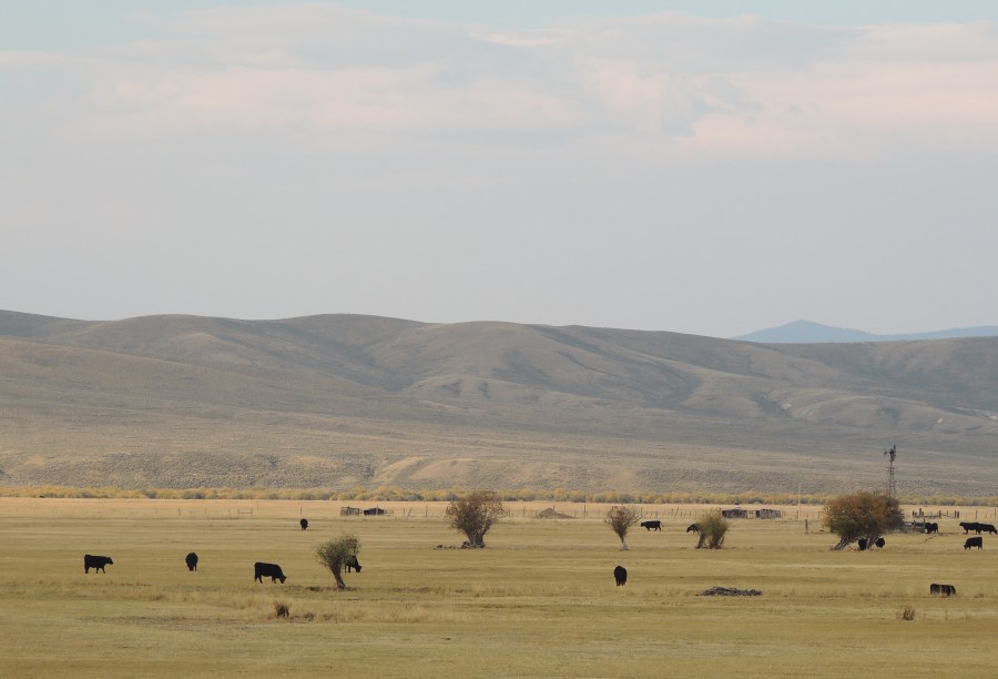
| CO-125 north from Grandby / US-40 |
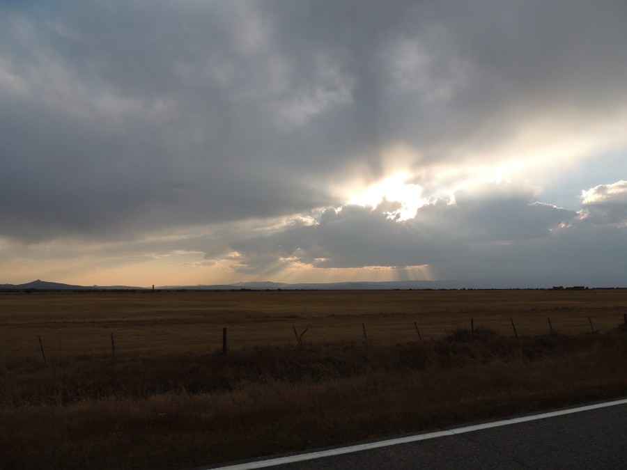
| CO-125 in North Park (south of Walden) - eastward - a nice setting worthy of a couple snaps |
| Nice rays - but not for long |
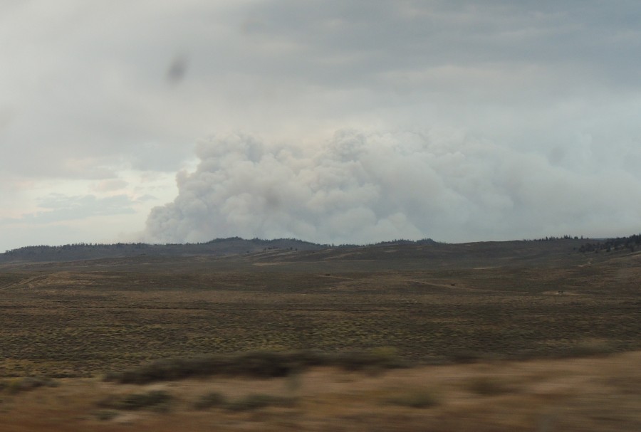
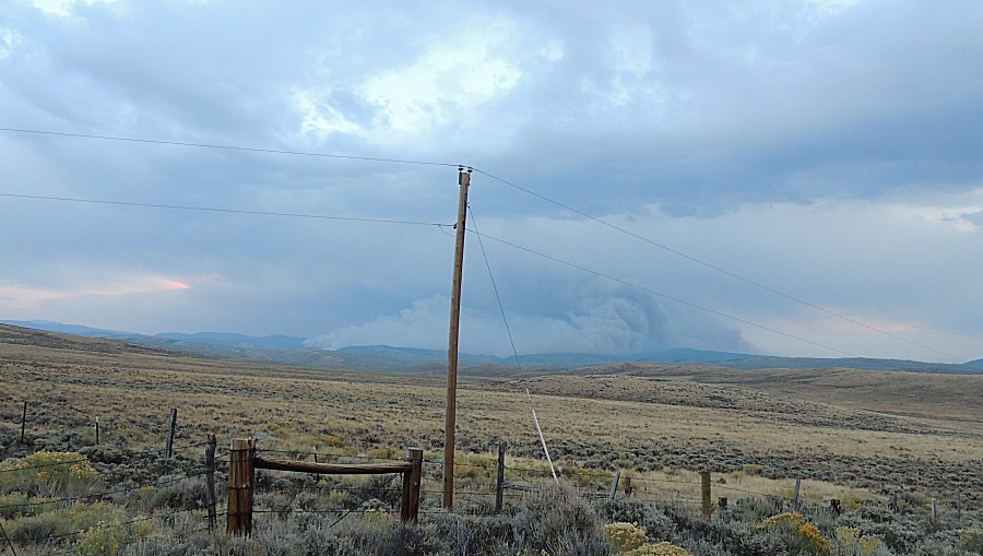
| At
the north edge of North Park this tower of smoke was on the windshield.
As I neared the CO-125 / CO-127 intersection I had a decision to make.
Take the "right" and jump to Laramie as intended or take the "left" and
get closer to the fire but tack on another hundred miles - wildly extending my day. The debate was short. |
| It seemed "just over the ridge" (and mostly, it is). |
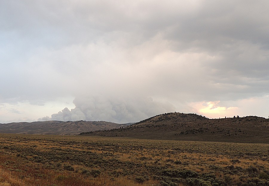
| The Mullen Fire As of this writing it is reported to be approaching 14,000 acres, cause unknown |
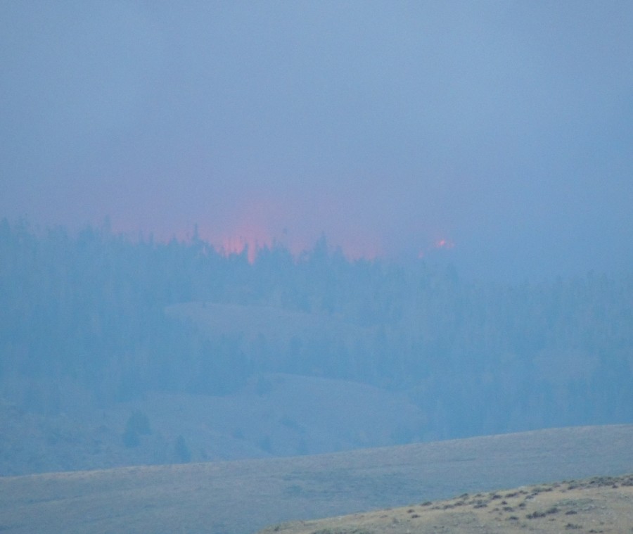
| The
above and below photos are the same direction about 30 seconds apart.
The intense spot of fire quickly increased and just as quickly
decreased. |
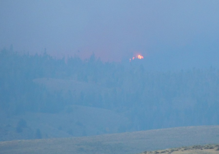
| The above fire photos were just right of the guy wire |
| From these pictures it was the homeward slog. Jump north to I-80, head east to Laramie and drop down to Fort Collins. |