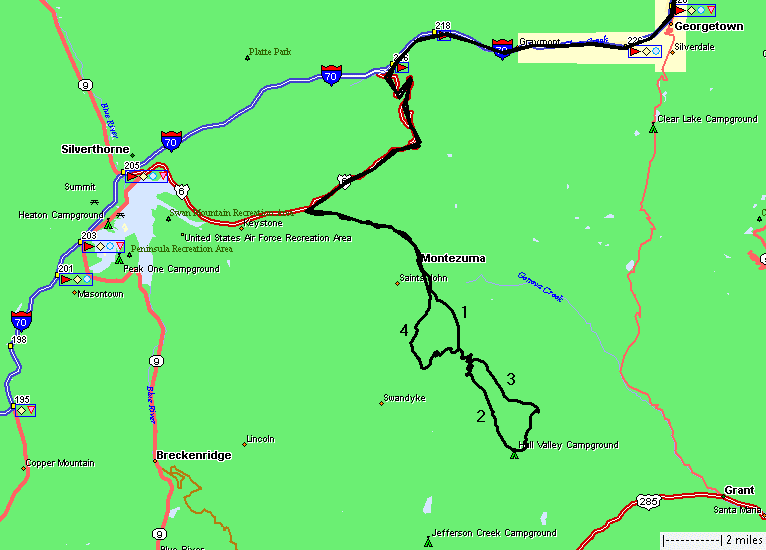
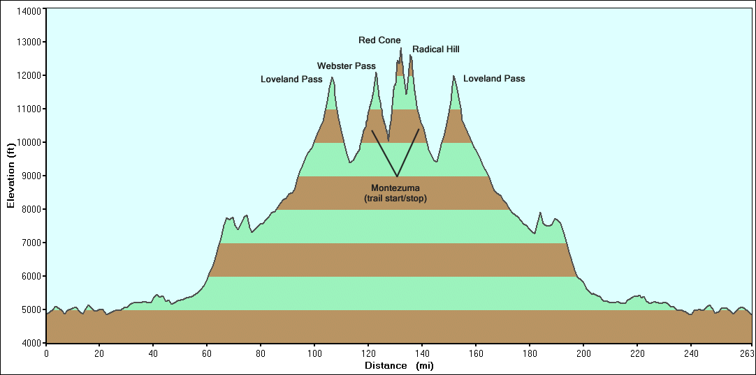
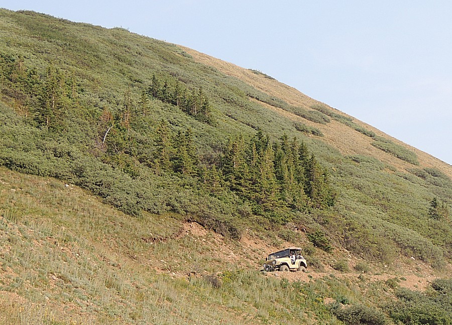
Webster Pass, Red Cone Mountain, Radical Hill, Deer Creek
| It
was on my mind to play hooky Friday. I had no _plans_ to take the day
off but I kept the thought rattling around my mind. Thursday afternoon
an invite found my mailbox "Care to join a Red Cone run tomorrow".
That's the ticket - YES! Red Cone is one of my favorite trails.
I'm partial to scenery (over technical obstacles) and about any above
timberline trail is high in my book.Up at 5am. In the jeep at 7am to
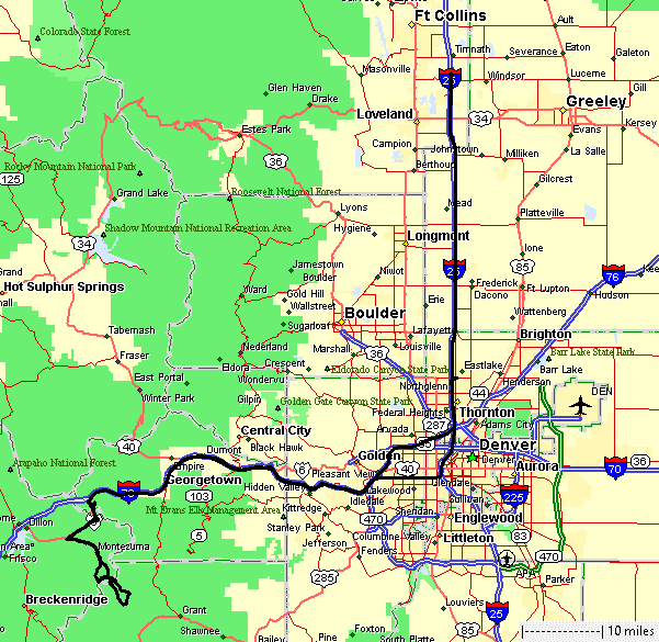
meet the group at 10am. We have several forest fires active. This will change the scenery (and pictures) - they'll be hazy. Our group of three Jeeps will start and end at Montezuma Colo. We'll head up the Webster Pass trail and jump up and over the pass. Down the east side of Webster we'll meet the eastern trailhead for the Red Cone trail. The Red Cone trail will head back to Webster Pass, ending at the pass. From there we'll drop down the western side of Webster Pass to meet up with the eastern trailhead for the Radical Hill trail. We'll give it a try - uncertain if we'll accomplish it. Florida's tan Jeep is a 1966 CJ-5... carburated. James' blue Jeep is a 1970... carburated. Mine's a 1990 that came with a carb but was modified to fuel injection. The tan jeep will be put to the test today. It had the "least advantageous" gearing of the group. The slowest they could run was faster than either of us typically run. This caused them, when running behind either of us, to have to stop and wait for a gap to widen, then they'd start moving down the trail - to catch up to us - stop - repeat. At points, they went first and stopped when they wished to wait for us slow pokes to catch up. Their faster speed became a concern - would some of the trail be too difficult for it to drive? We don't want to be driving quickly over big rocks for one. Second, when needing to drive up a steep hill - this makes movement hard (stalling the engine). With a carb'd motor, fuel sloshing into the throat, killing a slow running motor by flooding it with fuel. Then needing to try to get it started on the angle - on the mountain trail. I tip my hat to the carb folks (not many left) and the issues they deal with (changing jetting for different altitudes, fuel sloshing / flooding when at odd vehicle angles). I certainly appreciate my consistently performing fuel injection (so long as no electronic part fails). Compromise - there is no perfect trail vehicle. A second component that presented its uglyness - the frames on the old jeeps - they aren't overly ridged (C-channel vs. fully boxed style that my newer jeep* has, if I recall). Combine a frame that can twist with a through-the-floor mechanical clutch linkage - this can lead to issues engaging / disengaging the clutch when the jeep twists. The pivot point for the cluctch pedal is mounted to the frame with the pedal's arm extending up through the body. Typically when the jeep is twisting enough to cause issue - that's at a spot where you'll likely need to use the clutch - you're trying to get over an obstacle (rocks). Florida's tan jeep had this mix rear its head. We spent a bit of time getting through one rock obstacle (it's in the video). Nicely, that one spot was the worst of it for the day and we finished all of the trails we had in mind to run. * but still 30 years old! Some stats for the day: 7:05 am Start driving 9:52 am Meet the group 10:12 am Prepared & moving to the trails! 6:20 pm End of trails / heading towards home 9:15 pm Stop driving 263 Miles 20.838 Gallons of fuel $63.30 Fuel cost (freeway mountain driving - it wants premium) 12.6 MPG 215 JPEG pictures captured 69 JPEG pictures that made the cut for this web page Trail Only 26.2 Miles 3.7 square miles 8h2m Elapsed time 3.3 MPH Average speed |
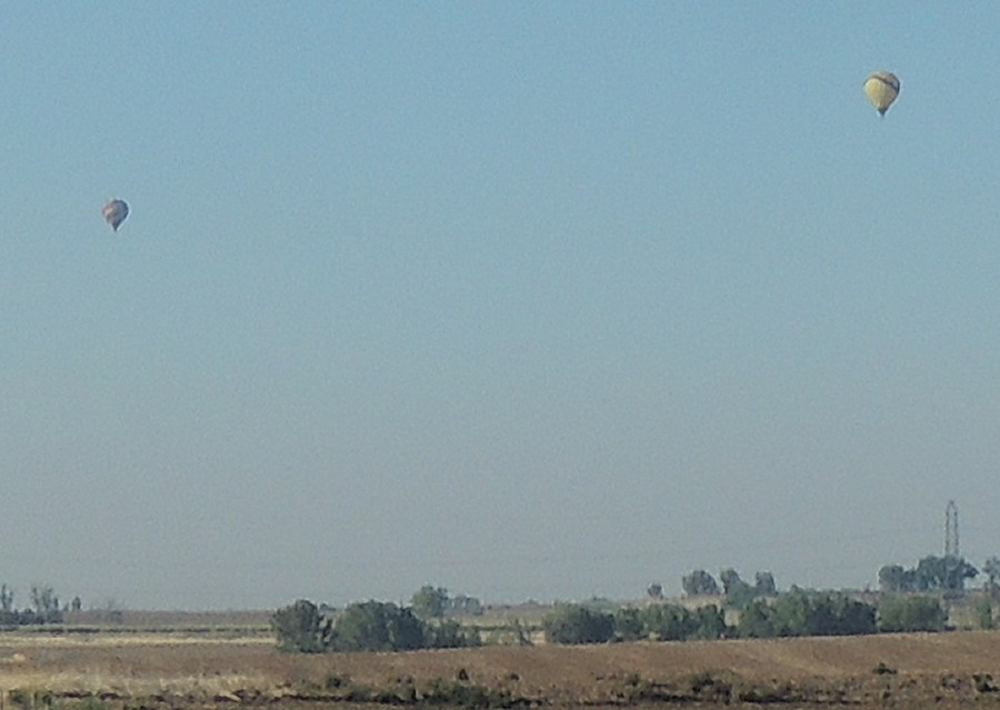
| Morning hot air balloons to enjoy a calm,
though hazy, morning. |
| Heading up the Webster Pass trail - starting
at Montezuma Colorado |
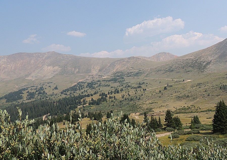
| Forest fire haze |
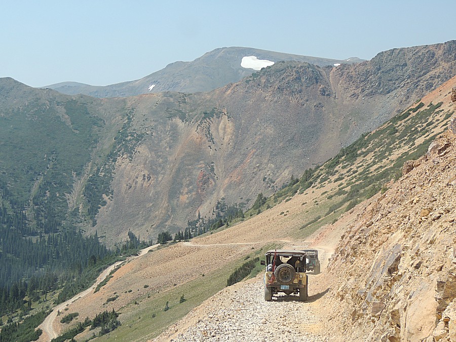
| Webster Pass - heading down the east side Road to nowhere |
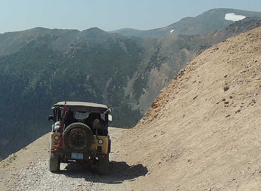

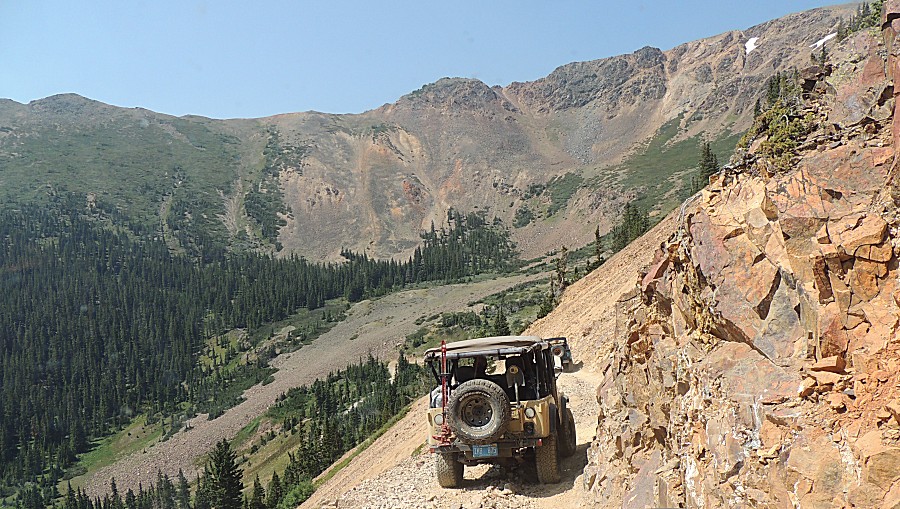
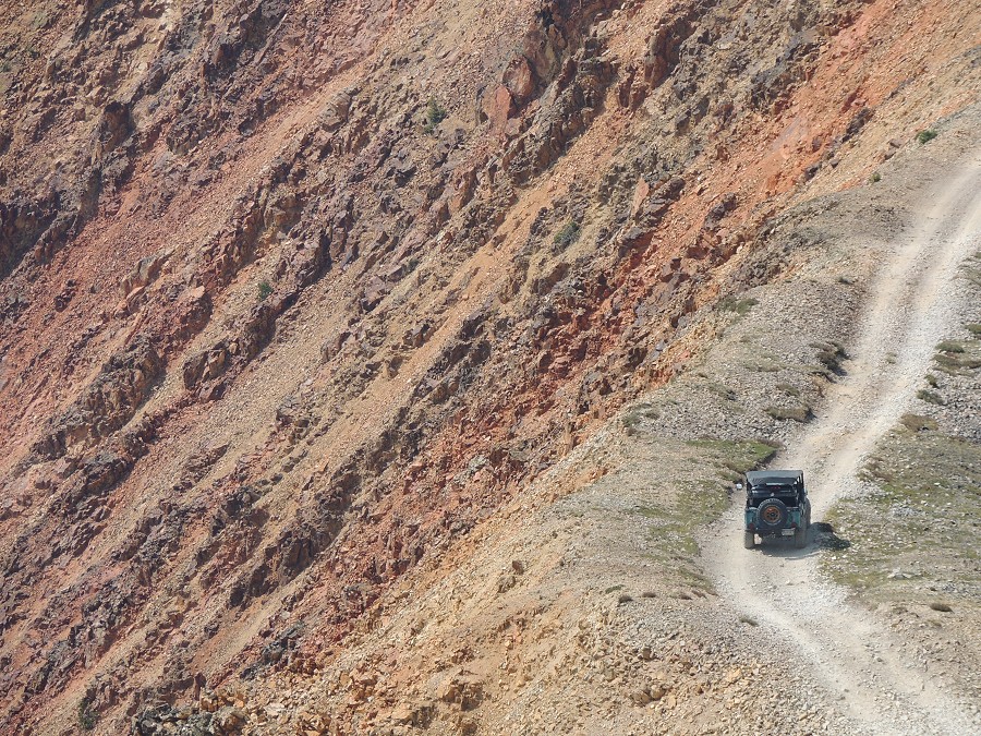
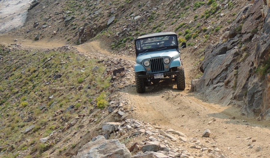
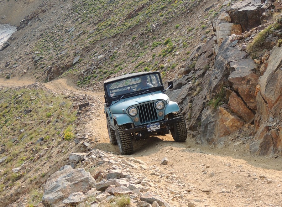
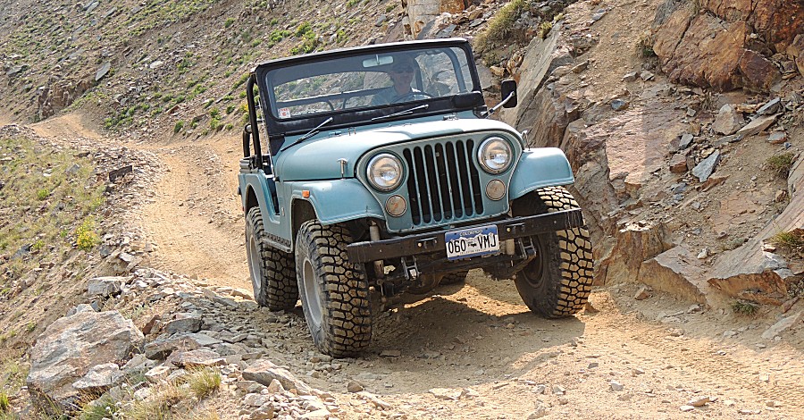
| Webster
Pass is known for "narrow shelf road". Most of it, for the width of our
vehicles, my Jeep being the widest, is of no concern. This spot is
perhaps the tightest - enough to give more attention - but no worry or
extra spotting needed. |
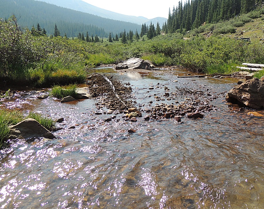
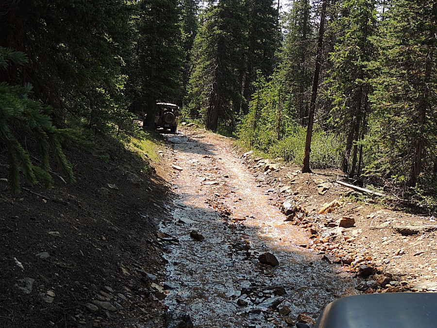
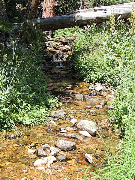
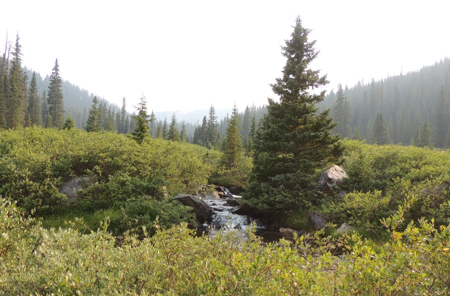
| Water was still flowing - while it looks
clear, the soil is the gold mine orange / red color. |
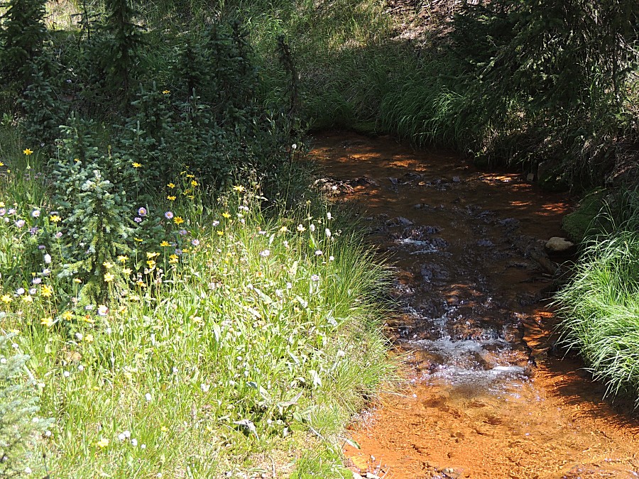
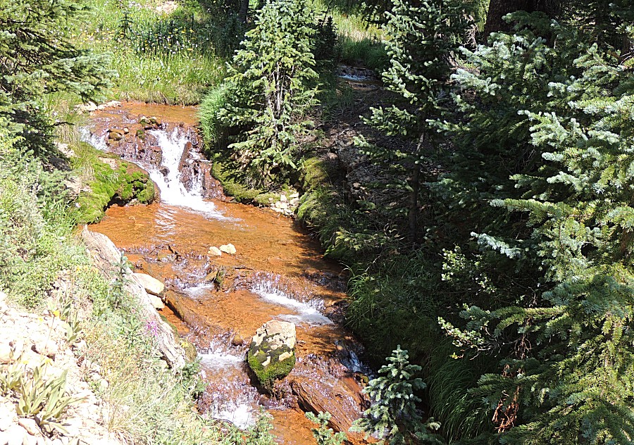
| A fair bit of the creek was flowing down the
trail. |
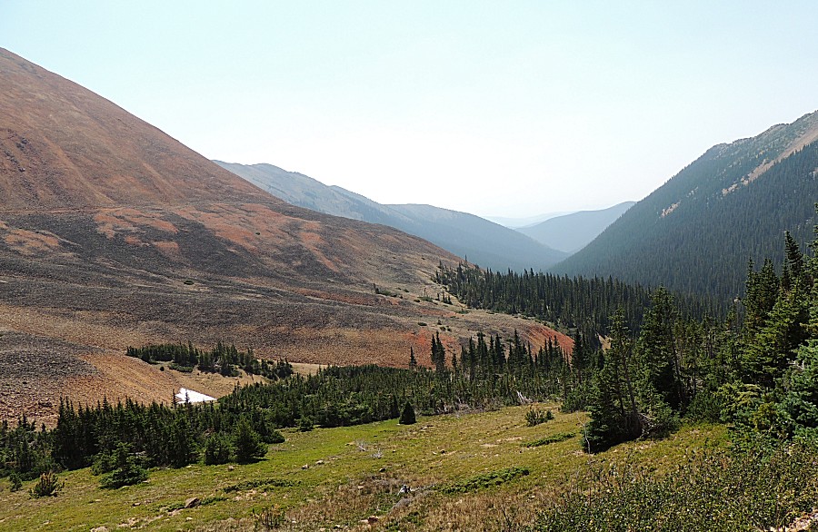
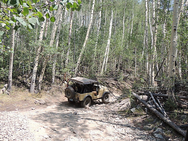
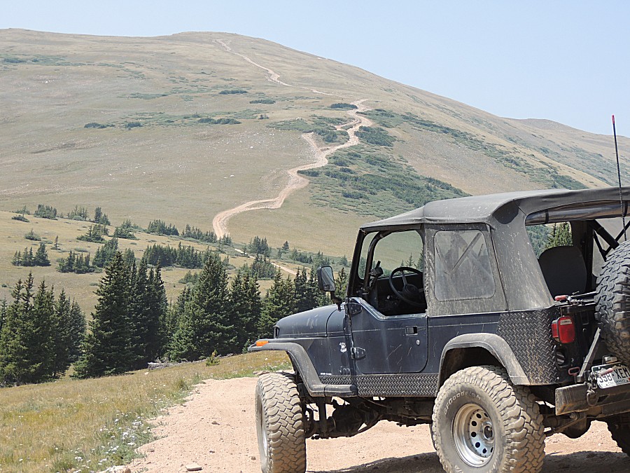
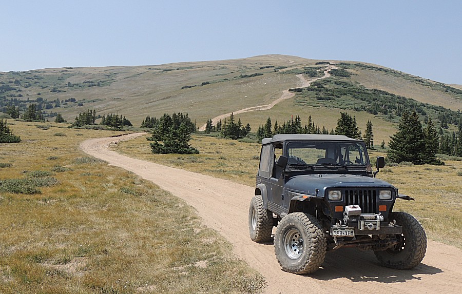
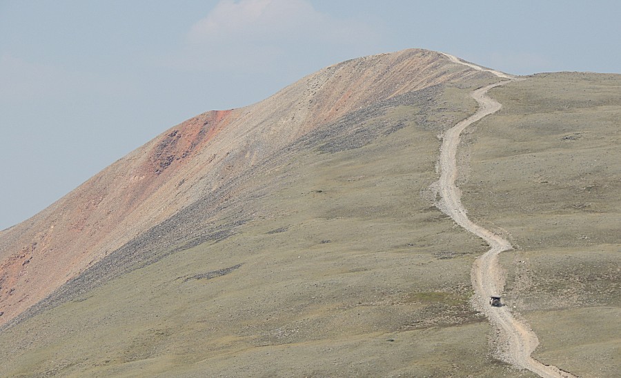
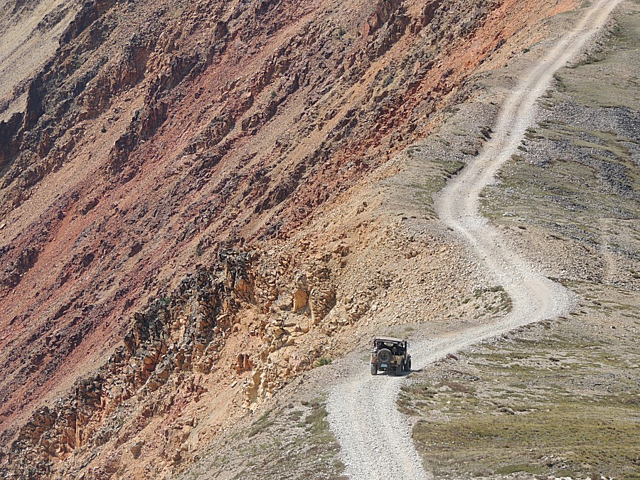
| Starting up Red Cone |
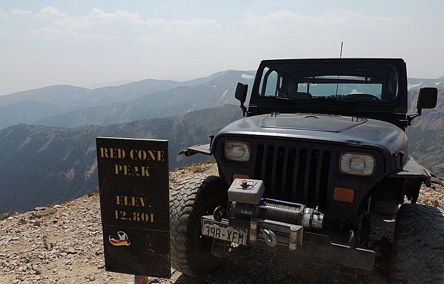
| An iconic Red Cone picture. I'll take a couple
of shots with the jeep (avatar pictures perhaps). |
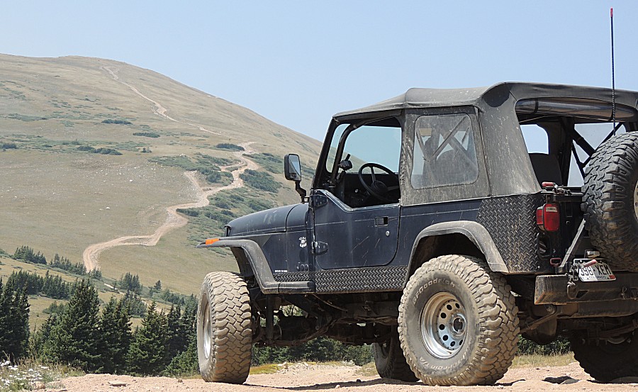
| Stopping at the popular lunch spot - set the jeep for a picture. |
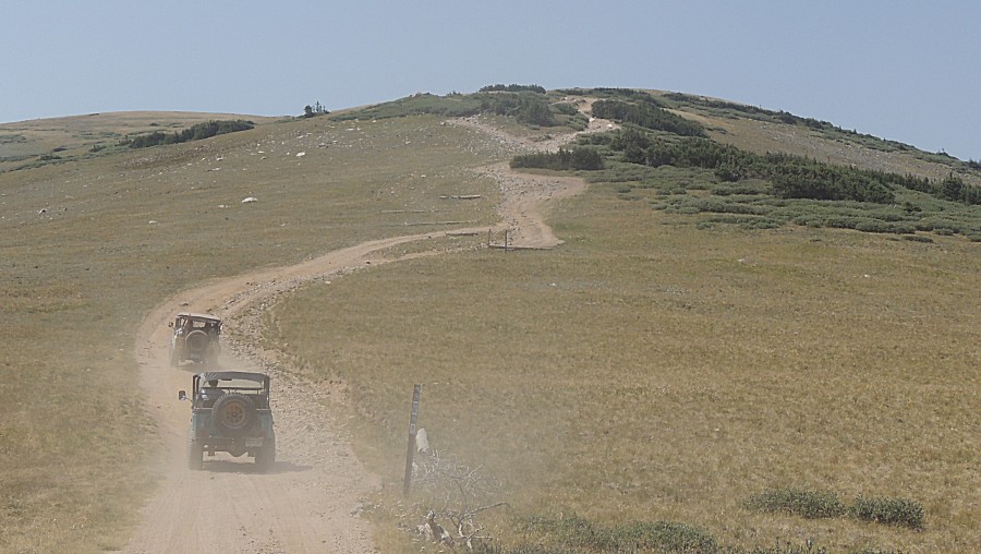
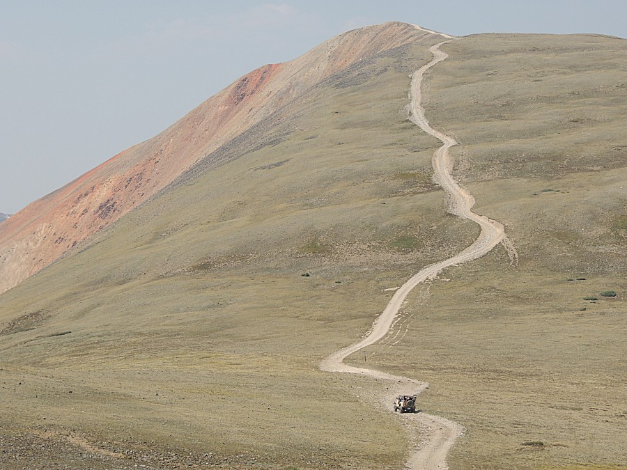
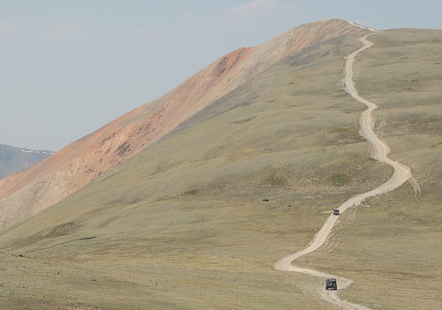
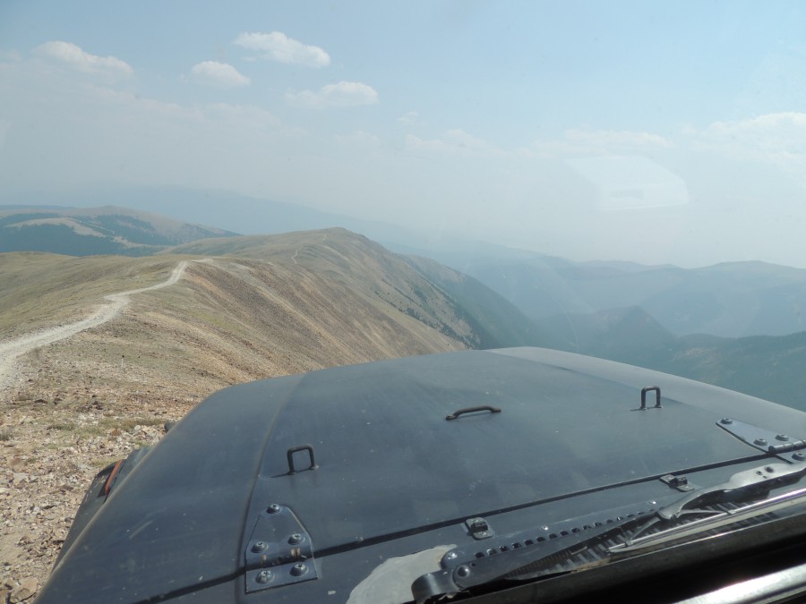
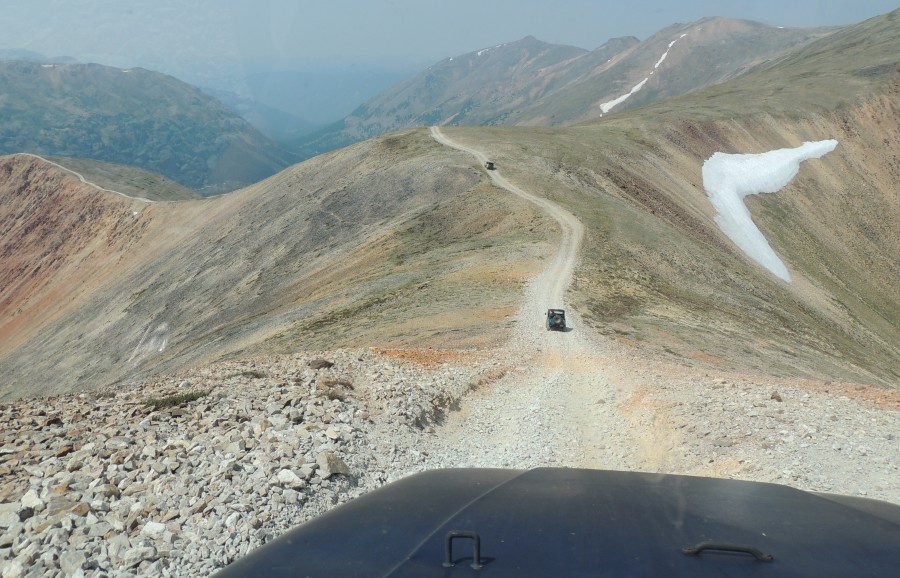
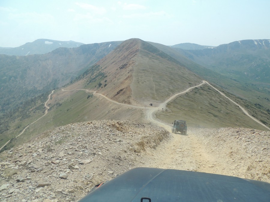
| The
Florida folks heading up first. We didn't tell'm what to expect when
they get to the peak - it's somewhat a true rounded cone and the first
time you drive up (if you're leading and no other vehicle is up there),
you know you are atop a mountain, and the ground disappears below the
hood - where's the trail? Where does it go? Am I about to drop down the
side? |
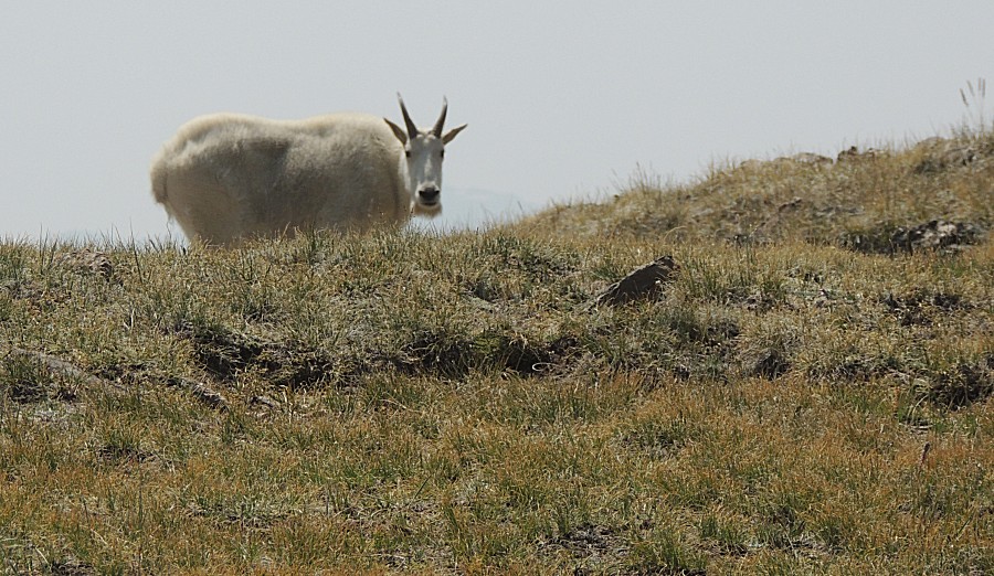
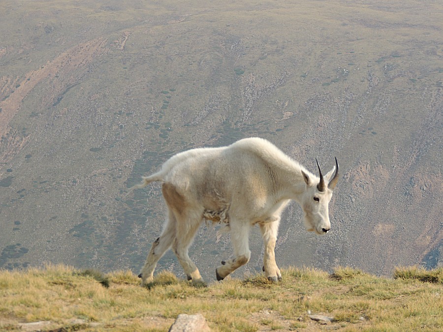
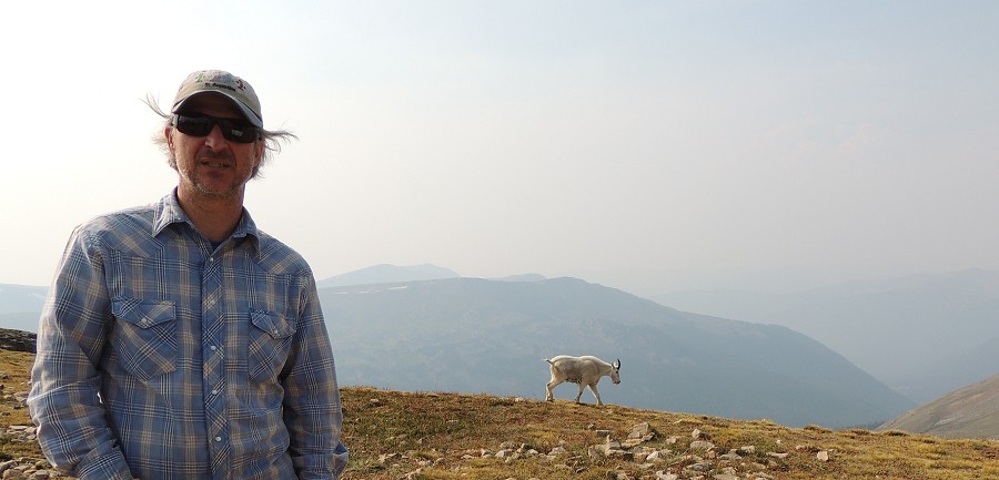
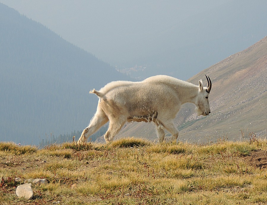
| These folks are common at the top of the
Radical Hill trail. This is the first sighting at Red Cone (the two are
close) |
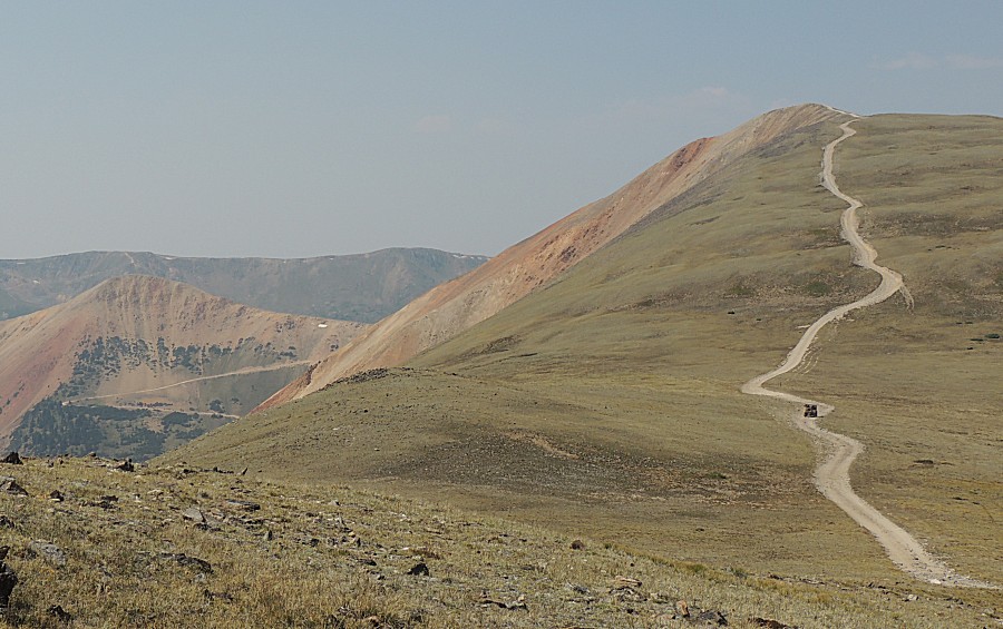
| Red Cone's peak will be the "second peak" with
darker red and brown rock. |
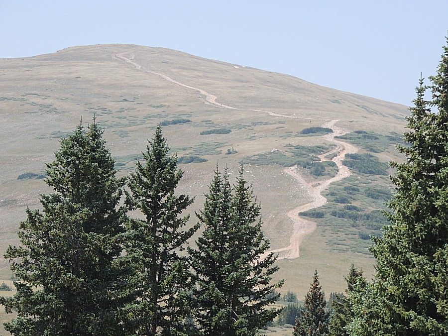
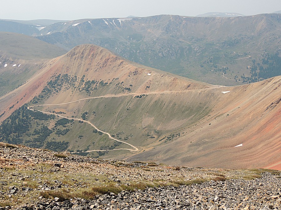
| Webster Pass and Radical Hill trails left of
center. |
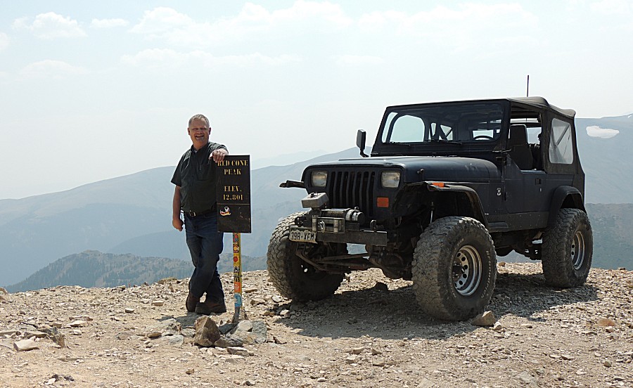
| Up top with noone around!!! Rare! I've been up here three or four times and know there really is a lot of space up here - enough to fit six or ten vehicles. I figured I'd turn the jeep around and park it by the sign for some mountain top pictures. The ground does dramatically drop down beyond the hood - but I know there are three or four feet before the closest wheel would cause me to sweat. Fun looking picture! |
| There we go... |
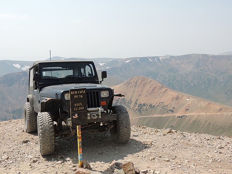
| This might be the fifth picture of me on the web site (25,807 JPG's online) |
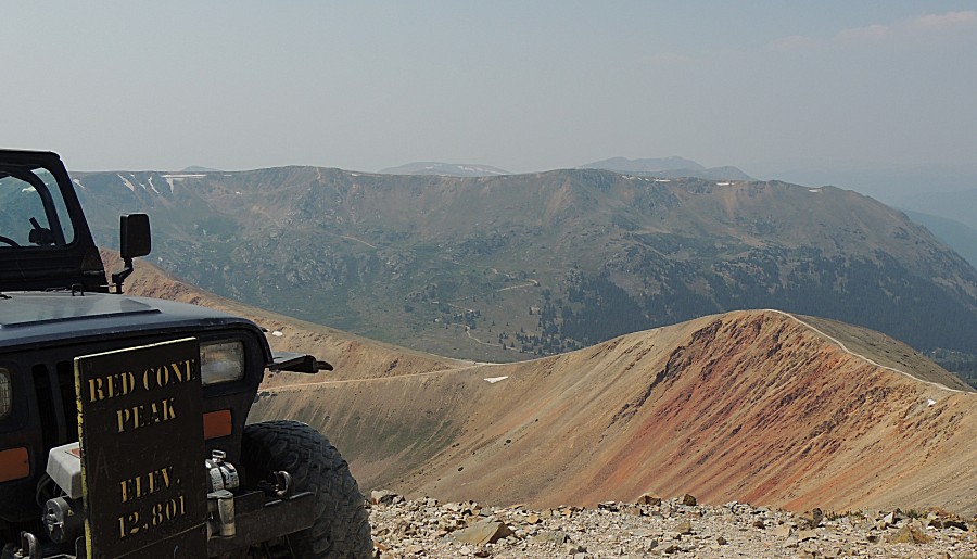
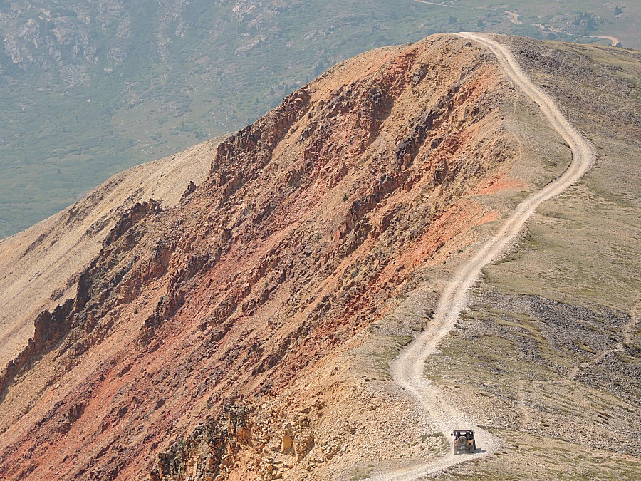
| Photo below this shows the Radical Hill trail. |
| Heading down from the peak |
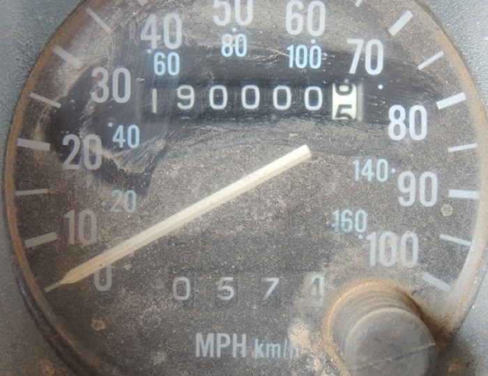
| I
stopped to take the above photo and someone whispered into my ear -
check the odometer. 190,000 Miles at the top of Red Cone! |
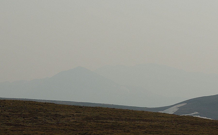
| Haze in the valley to the right. |
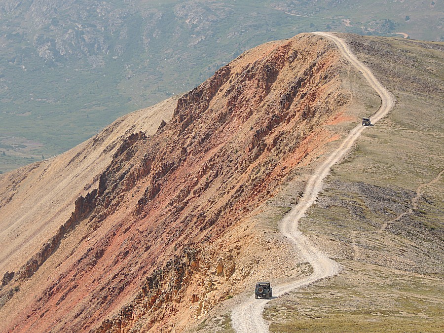
| The Florida folks are getting a "Welcome to
Colorful Colorado" experience in grand fashion! |
| James |
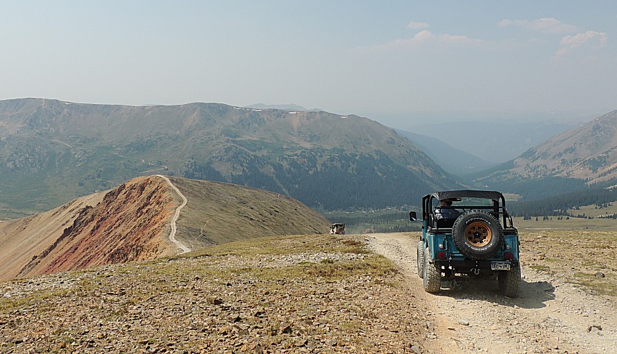
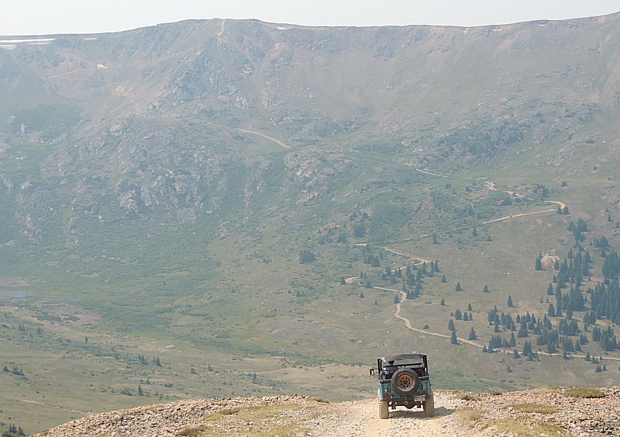
| Hah
- jeep atop a mountain looking across the expansive valley to the
mountainside we'll start working up and over (Radical Hill) |
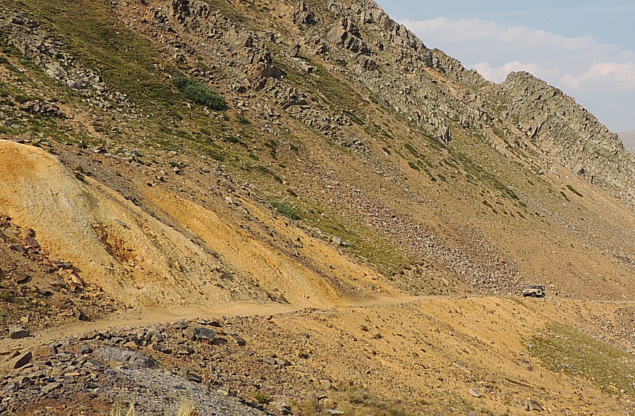
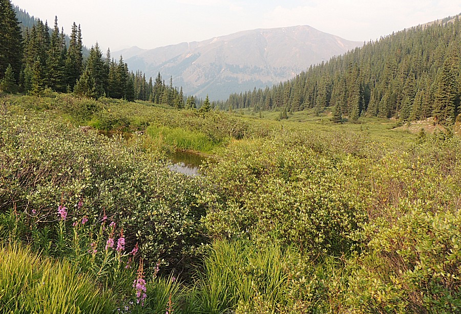
| Webster Pass After a bit of research, it looks like this is the Continental Divide. That thin walking path to the right of the pass might then be the Continental Divide Trail. Earlier today we came in from the right, passed over and down to the left. We'll continue to the right for the intersection with Radical Hill's trail at the valley floor. |
| Looking northwest towards Monetzuma (haze) and
the trail we came in on. |
| On Radical Hill's trail looking back at
Webster Pass and Red Cone (right of center) |
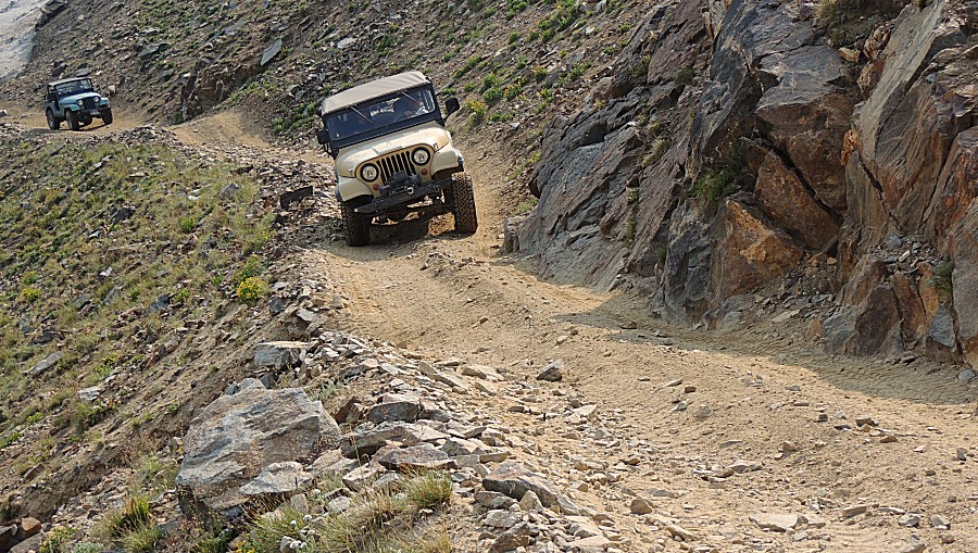
| Video Notice the difference in travel speeds between the tan and blue jeeps. The blue jeep has gearing that allows it to travel more slowly over the rocks. |
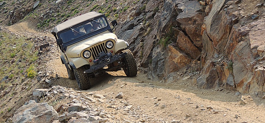
| Video The difficult spot for the day. |
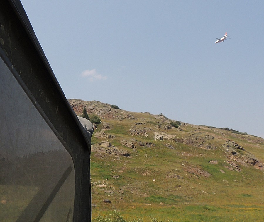
| There
are, I think, four major wildfires active in the state. This fire
retardant plane caught us by surprise. It likely filled
at Colorado Springs and looks to be headed to the Grizzly Creek fire in
Glenwood Canyon (I-70 along the Colorado River). |
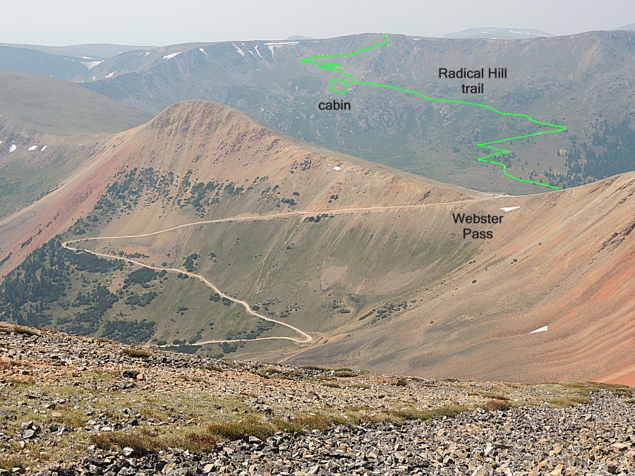
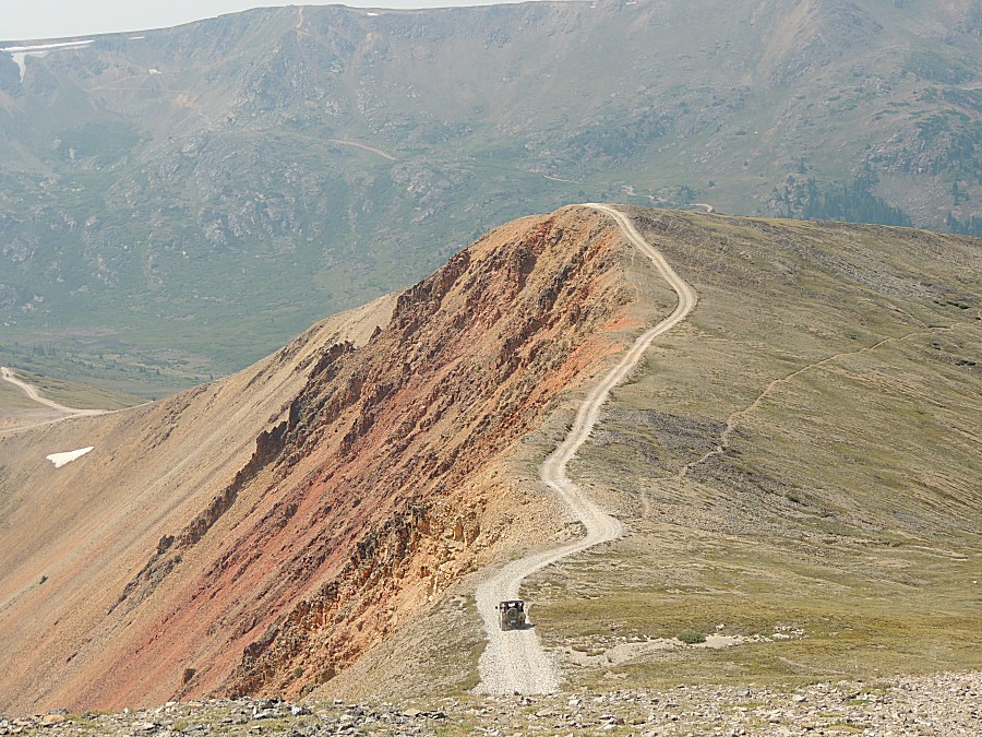
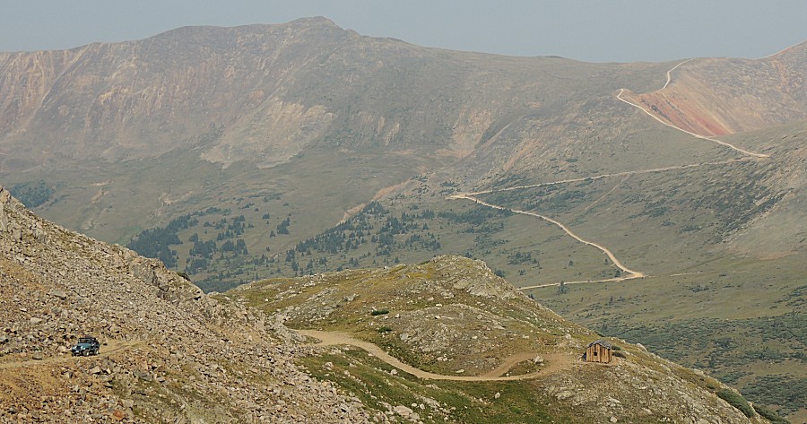
| Red
Cone (right) down to the Webster Pass to the zig-zag of the Webster
Pass trail. Bottom center is the cabin at Radical Hill (an old mine and
the cabin was likely housing for the miners), Florida and James working
up. |
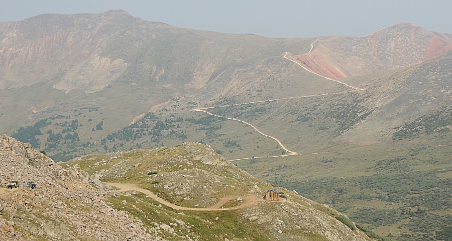
| Mine tailings (tan fan of rock on a
mountainside) |
| James |
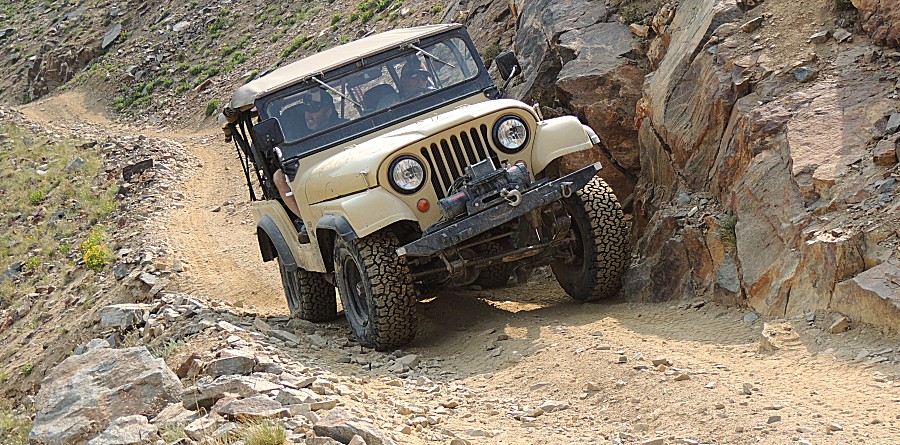
| Florida's
jeep had a "jeep lean" that was more than typical. We later found it
has a broken leaf in the right front spring pack. This outboard lean
must have been rather disconcerting as they rolled through the "tight
spot" on Radical Hill (again, their jeeps aren't anywhere wide enough
to be an issue). |
| And
then at a narrow spot, the trail dips down for even more outward lean.
Both are "leaning to the high side" to not roll off of the mountain. It
must feel terrible even though it doesn't look severe. |
| Reason to include this photo... One of the risks with shelf roads is hugging the high side. The risk is having a high side tire ride up a rock, tipping the vehicle ever more to the low-side of the trail, such that it becomes the last straw for a tip-over. The driver's front tire is just hitting the rock and it'll ride up and over - making the jeep lean more outward. It wasn't an issue for us today - though notice the amount of safe, level trail between the passenger side tires and the edge of the trail - perhaps three, to almost four feet. It's human nature to stay away from the known danger (down mountain tumble) but that can put us into an unanticipated danger for a roll. |
| James's jeep is the same with as Florida's -
it's easily fitting. |
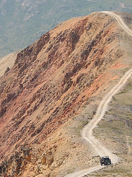
| The common scenery at the top of Radical Hill |
| The ridgeline is easier to see in this picture
than it was in person - the peak left of center was hard to notice. |
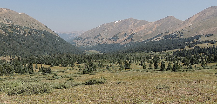
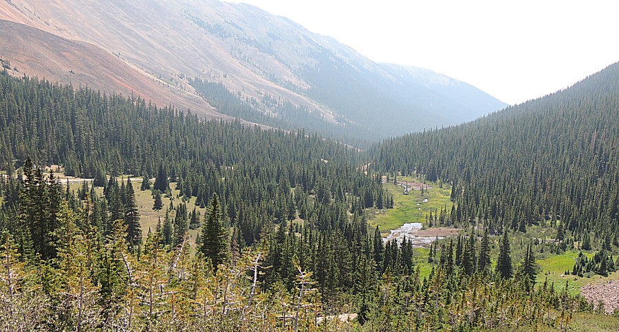
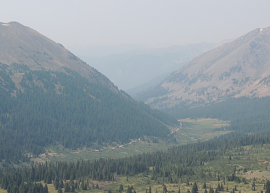
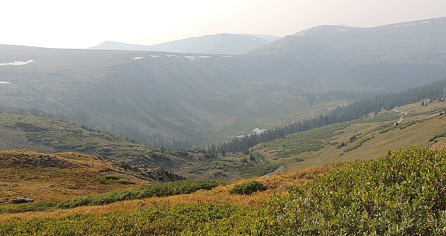
| Looking down at the valley we'll travel back
to Montezuma - Deer Creek (trail). A first visit for me. |

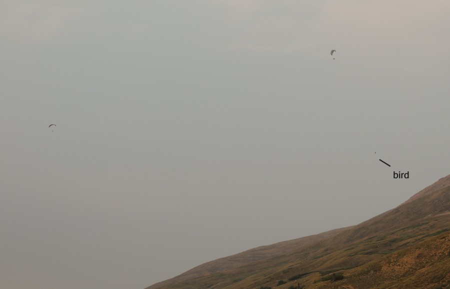
| Our
group has split to head home. Nearing the crest of Loveland Pass I
noticed four or five of these dotting the sky. A couple seemed to be
riding the up-flowing air near the pass. |
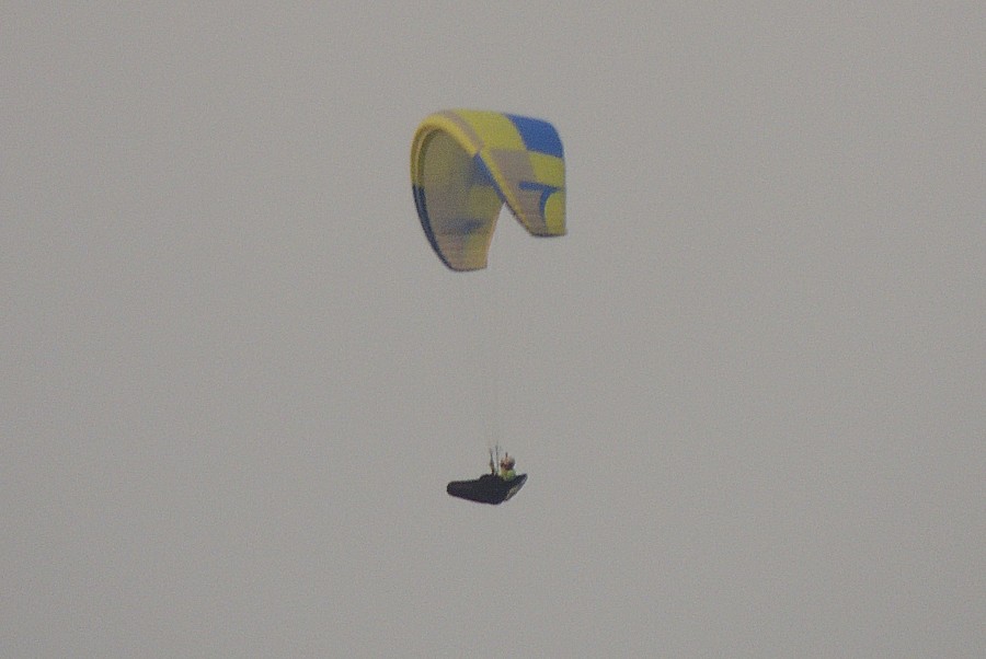
| A couple of'm - with a large bird (hawk /
eagle?). |
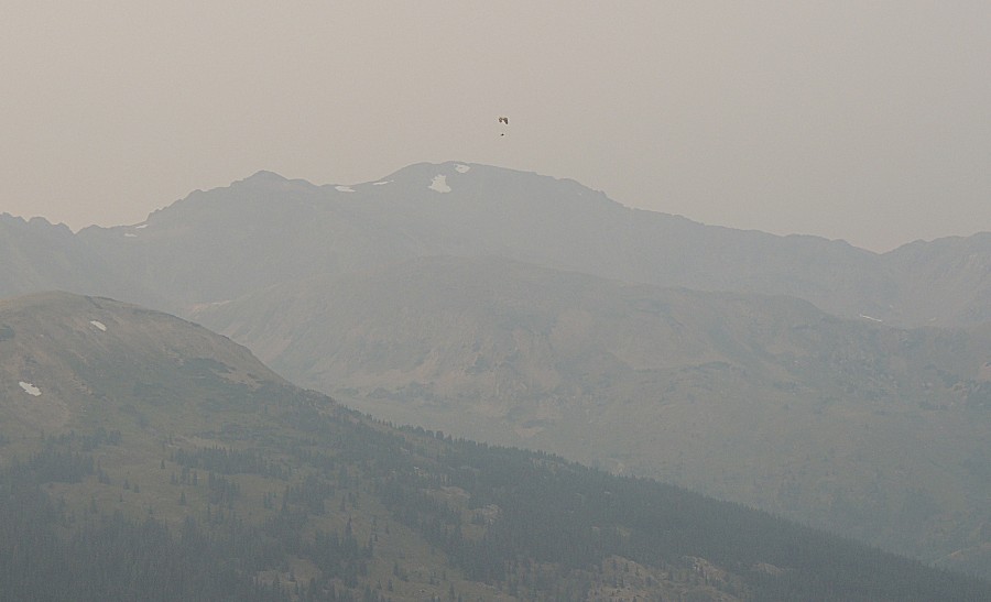
| In the valley below this pilot is I-70 - left
is the Eisenhower-Johnson tunnel - to the right, by a ways, is Denver. |
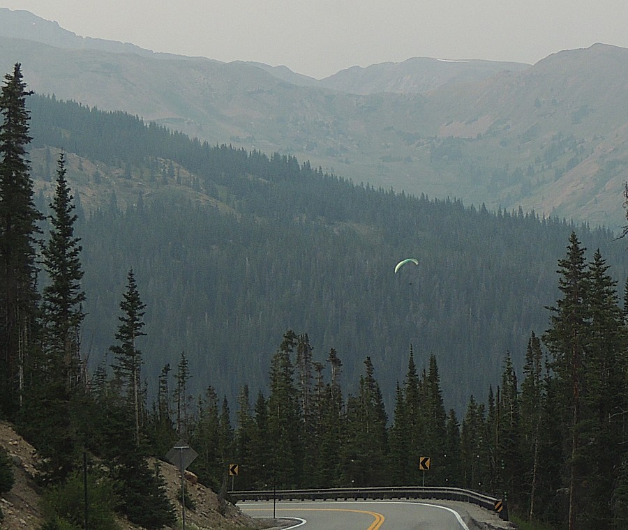
| This rider will be landing by the time I drive
by their landing pad (a parking lot near I-70 / Loveland Pass ski area). |
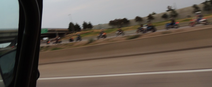
| Down
in Denver - I-25 northbound. A group of perhaps 100 / 150 bikes - of
all sorts and sizes - in full hooligan mode (wheelies, stunts).
Surprised no wheelie was caught in this picture. |