| You're viewing
the FULL photo set for
Day 5's photos (107 photos). If you wish to switch to the HIGHLIGHTS ONLY photo set (51 photos), click here. |
C to C 2020
Day 5 - Thursday, July 16, 2020
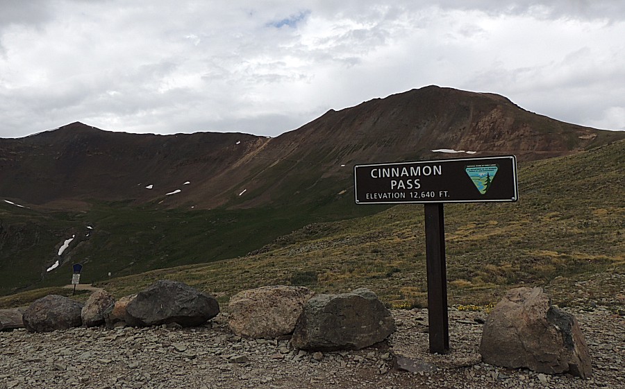
Cinnamon Pass
| Today
is somewhat a driving day. Our next destination is the gold mine tour
at Cripple Creek Colorado at least by tomorrow afternoon. We could make it an
asphalt day - driving US-550 north to Montrose then east on US-50 - but
we have enough time so why not check out some alternate routes. A
checkbox item for me is to see what the road from Silverton to Animas
Forks is like - is it family sedan capable? From Animas Forks, Cinnamon
Pass is a yet-to-visit trail that heads east to Lake City. From Lake
City I'm somewhat thinking of dropping southeast on CO-149 to Creede /
South Fork / Del Norte with a destination of Cripple Creek. In the end, by the
time we made Lake City we were in "find a campsite" mode. Not urgent -
but that was the task. While you can scroll through the whole page, you may also jump to a specific section: 0) Web page start 1) Bear Creek Falls 2) Silverton 3) Start Cinnamon Pass trail 4) American Basin 5) Lake San Christobol 6) UPS delivers to the forest |
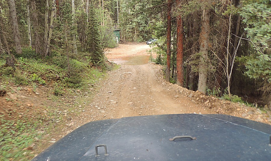
| Out from the campsite, a couple 90-deg turns
in the road and we're down to the stream crossing. |
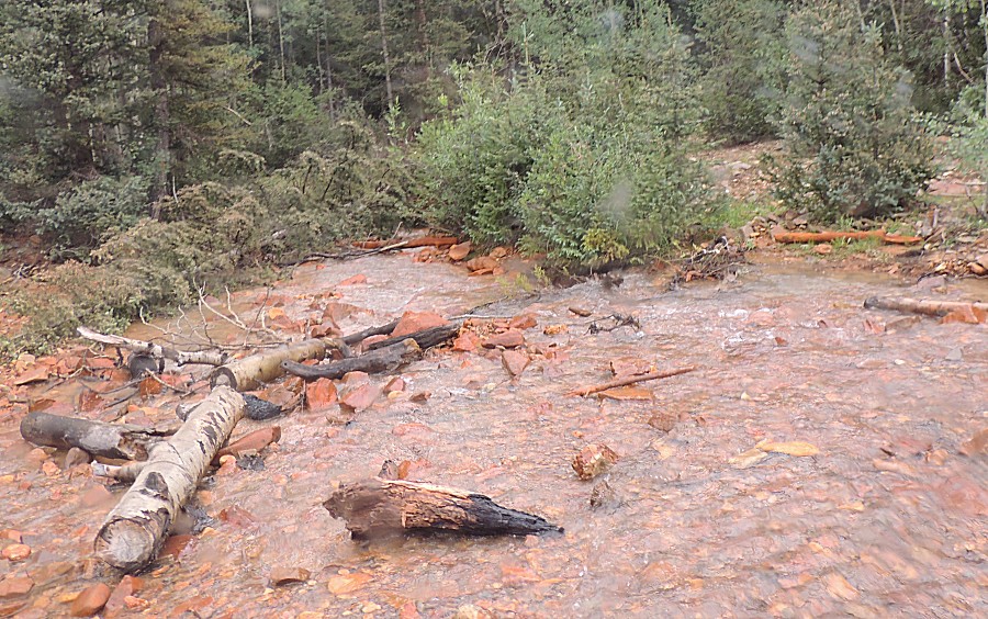
| Look'n up |
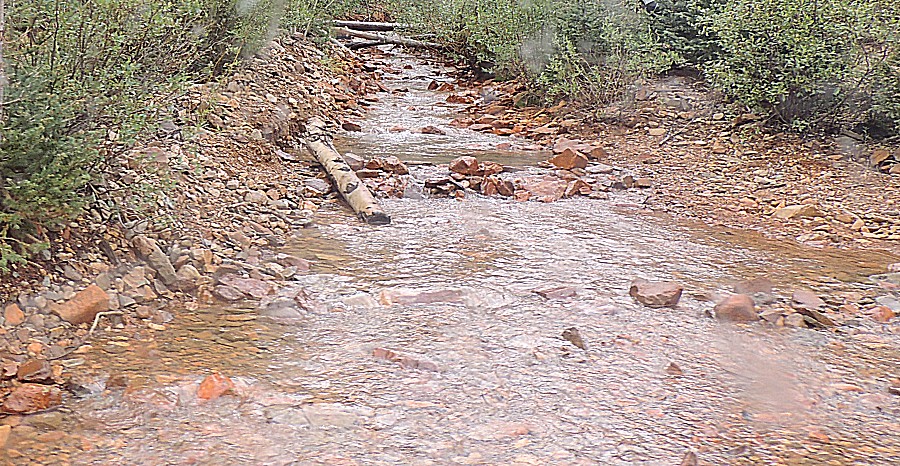
| and down |
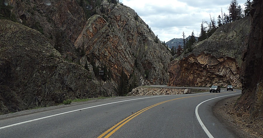
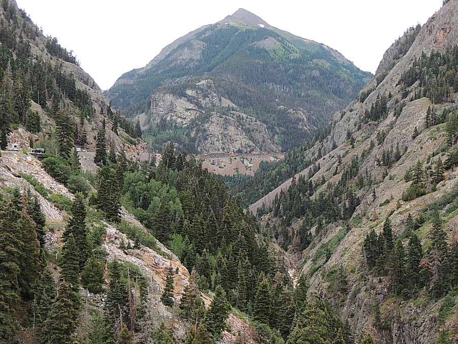
| Out to US-550 for a fuel stop at Ouray |
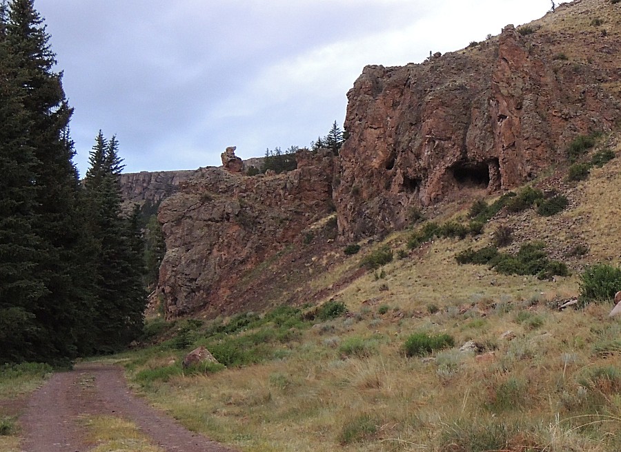
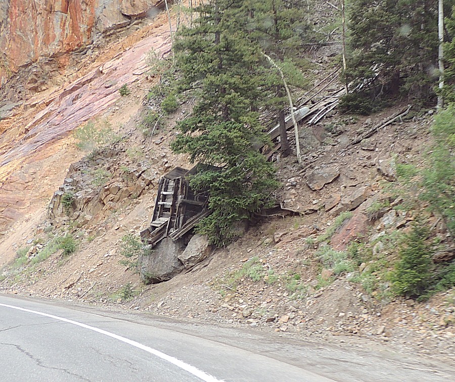
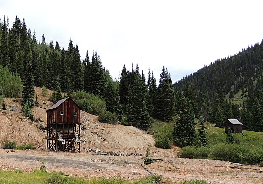
| Old mine structure at the roadside |
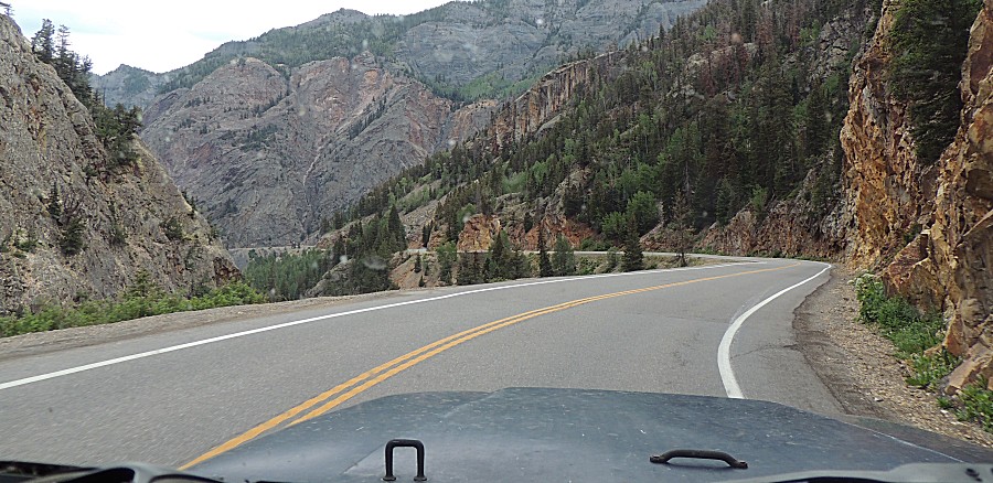
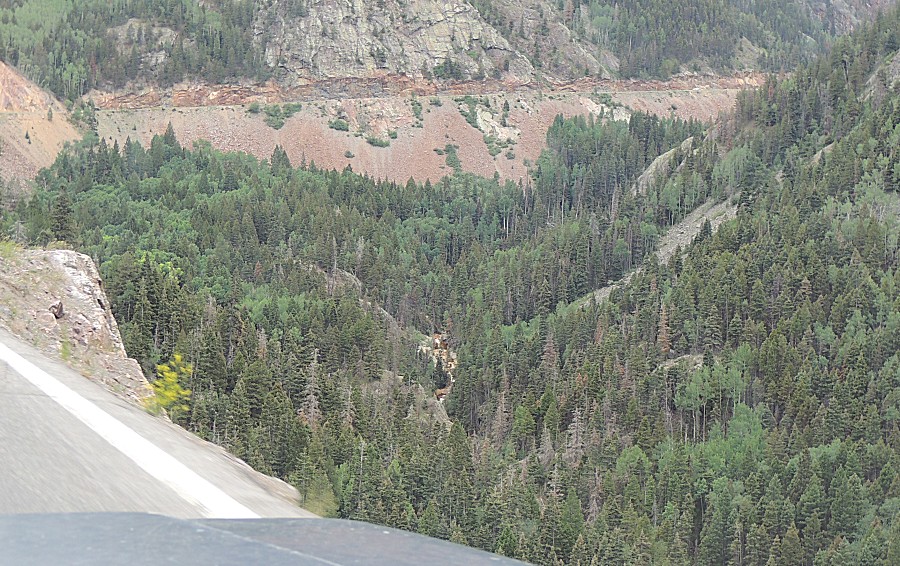
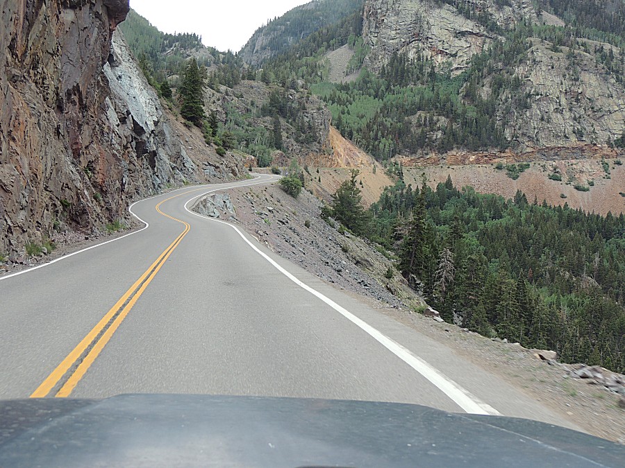
| The classic US-550 asphalt ribbon cut into the
side of the mountain picture |
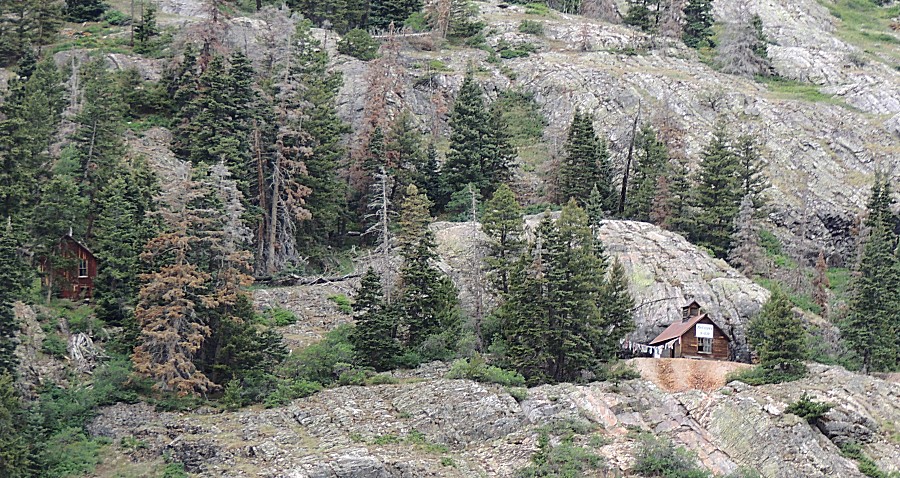
| A couple structures across the valley - tan
fan of rock at the building on the right |
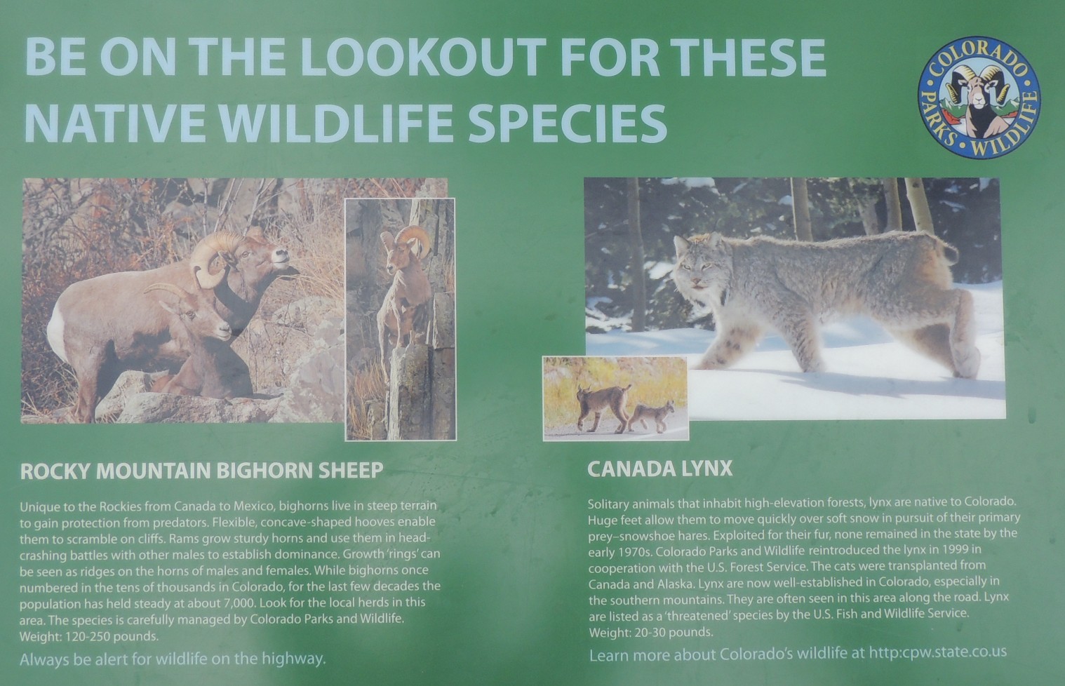
| Info sign Be on the lookout for these native wildlife species |
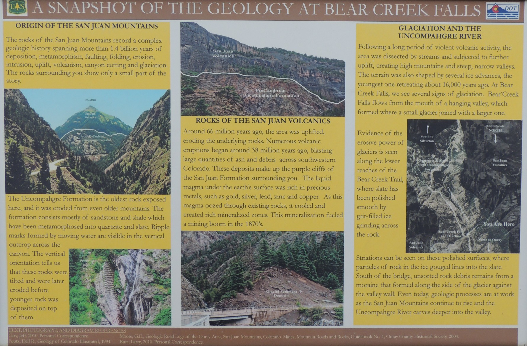
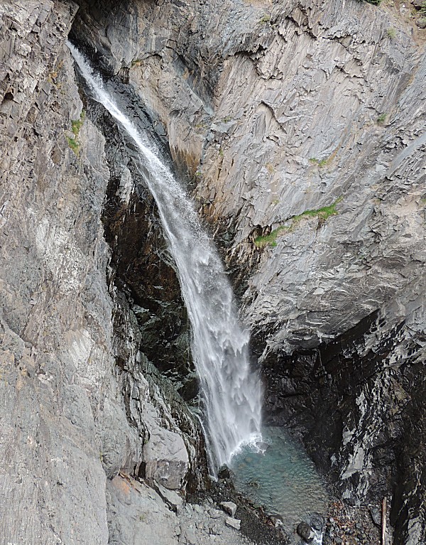
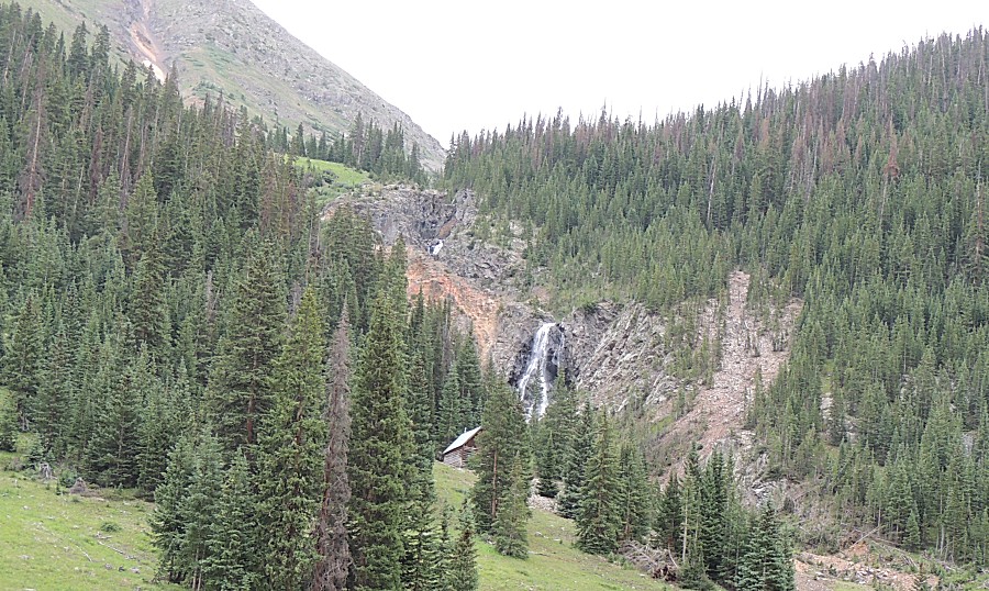
| Info sign A snapshot of the geology at Bear Creek Falls |
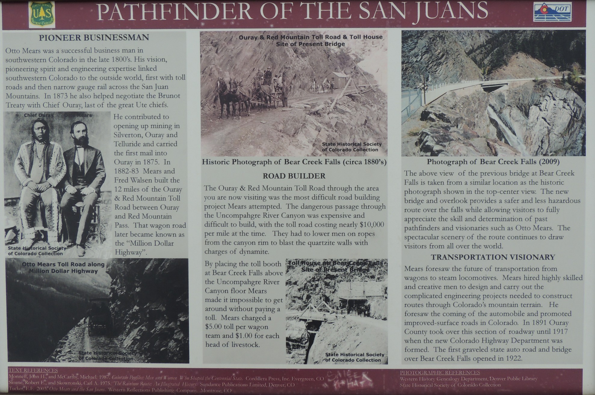
| Info sign Pathfinder of the San Juans |
| Bear Creek Falls |
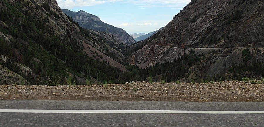
| Head'n back to camp to pack and get moving east |
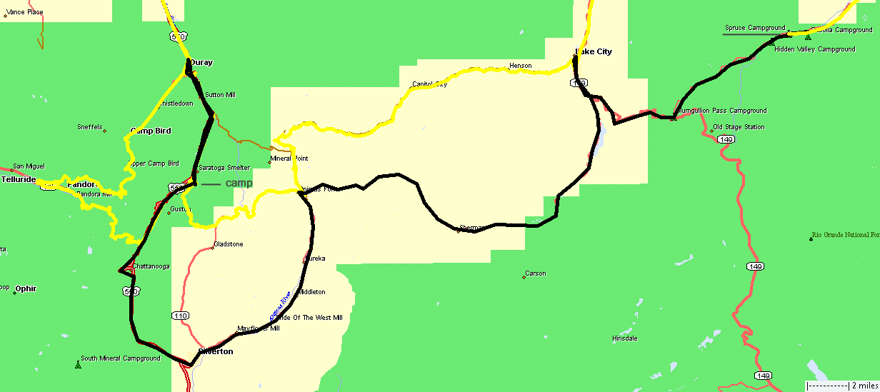
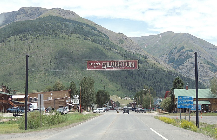
| We're
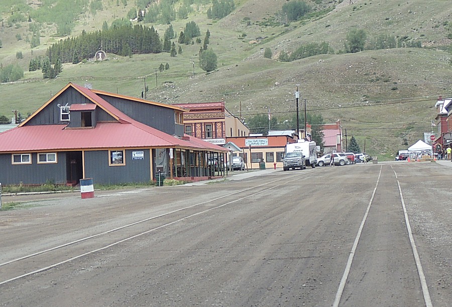
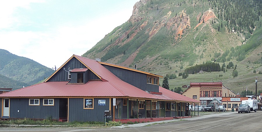
packed and on the move - heading south on US-550 to Silverton where
we'll take the county road up to Animas Forks - stop for lunch then
jump over Cinnamon Pass to Lake City |
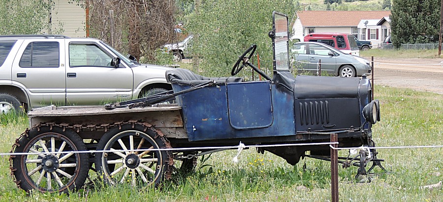
| What Christmas cartoon show had one of these? |
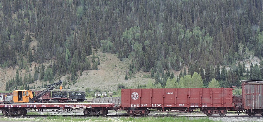
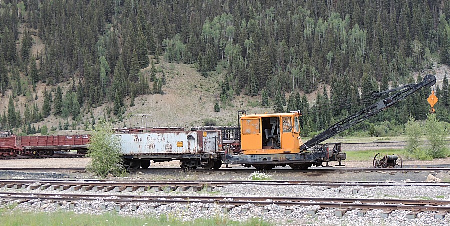
| The train depot - no trains today |
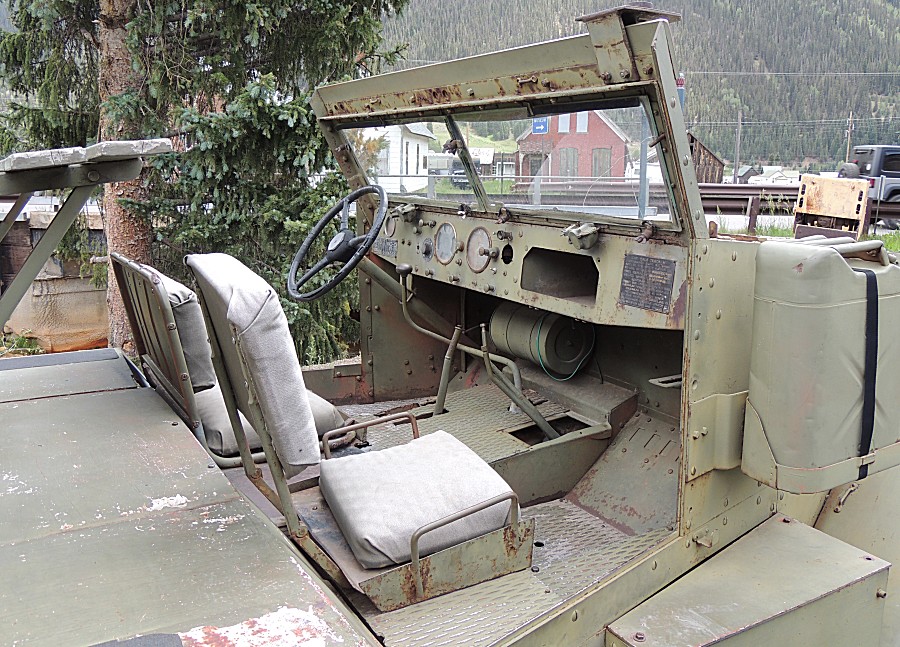
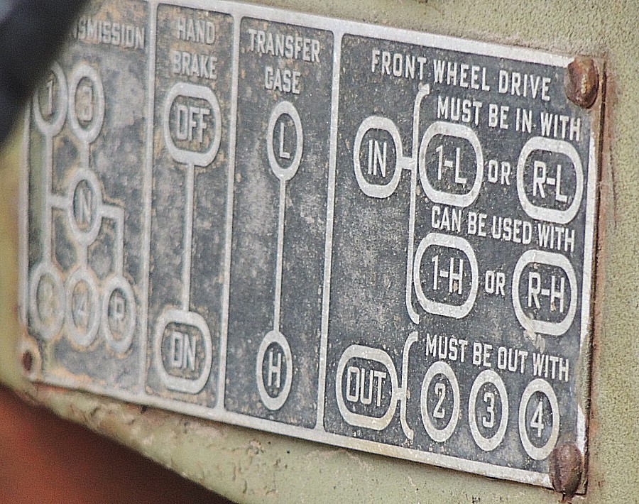
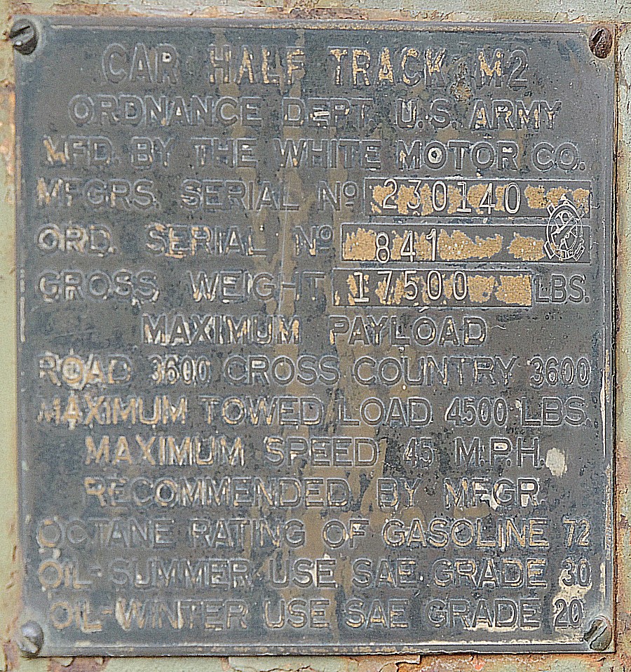
| An M2 half-track. Sorry no full photo. |
| Info sign Howardsville |
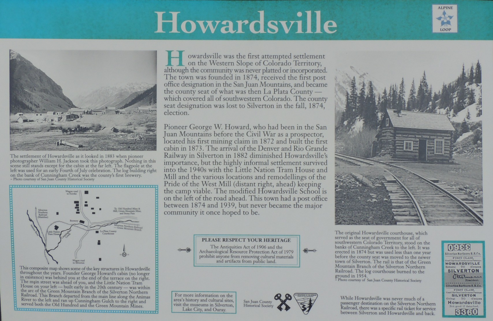
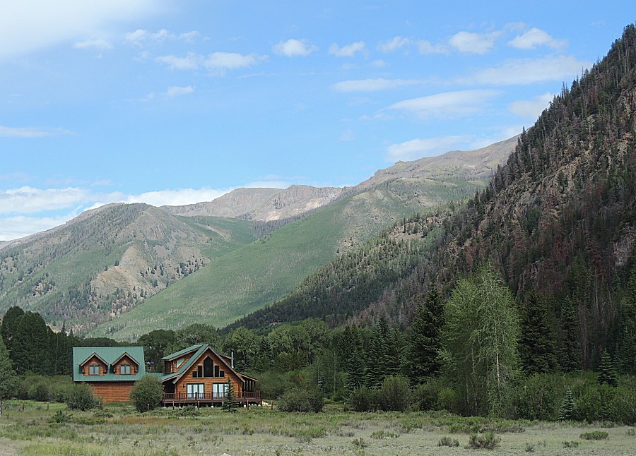
| Diann
and Mark should recognise these two mill foundations - the older,
wooden mill to the left and the newer, larger concrete foundation to
the right. |
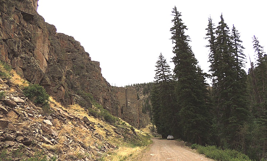
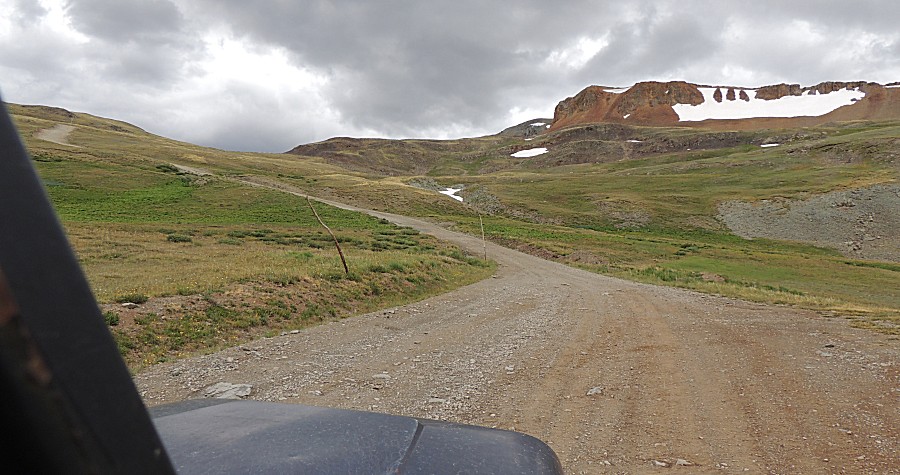
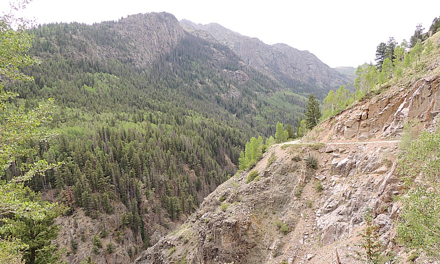
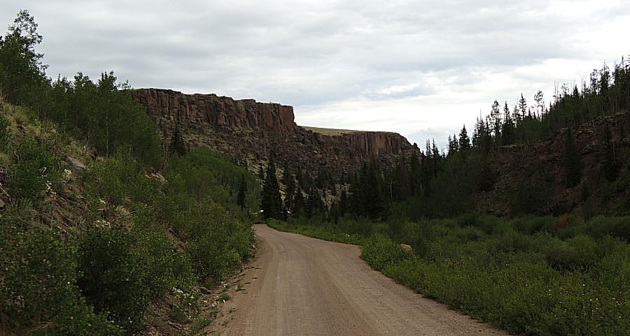
| A first for me - the county gravel road to
Animas Forks from Silverton |
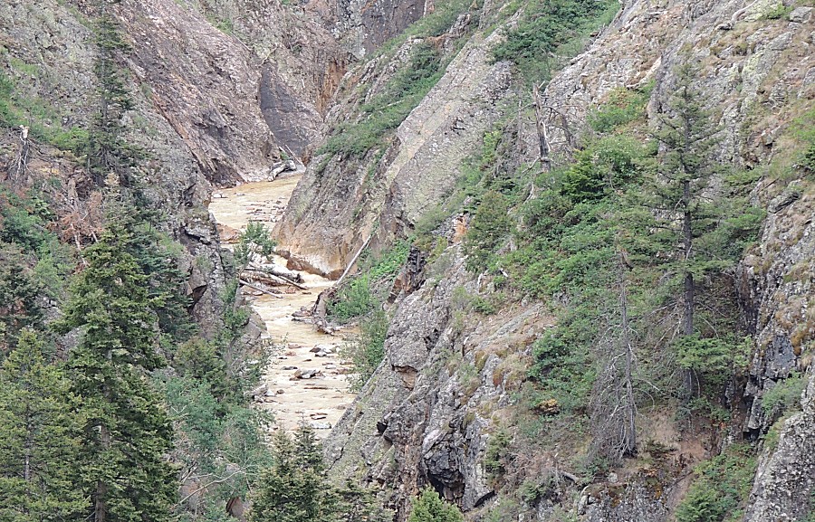
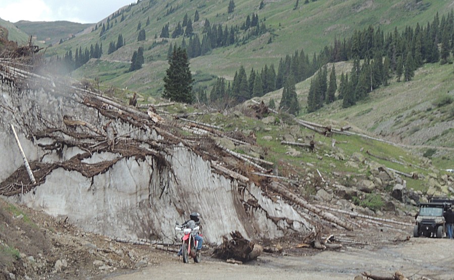
| Avalanche debris |
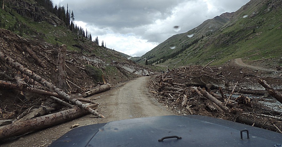
| With 'just a bit' of snow remaining. |
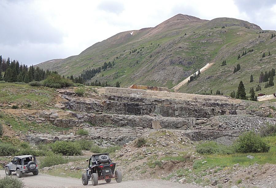
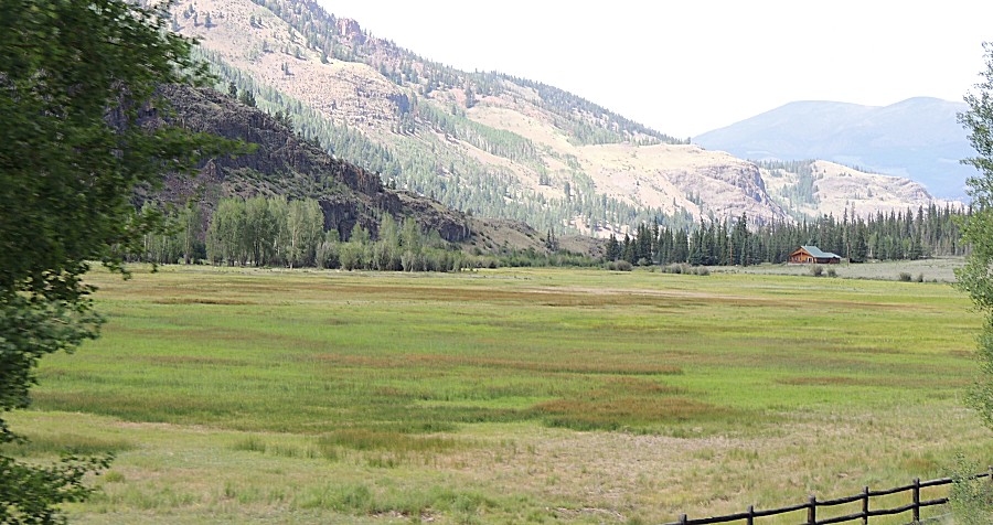
| Up at Animas Forks. We'll enjoy lunch here. |
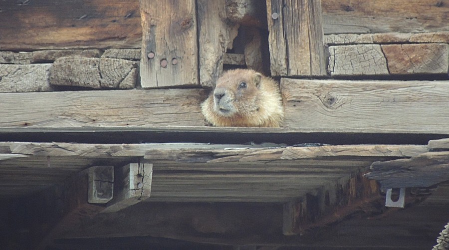
| Look'n comfortable in the walls. |
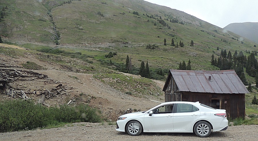
| Yes, the family sedan can make it to Animas
Forks |
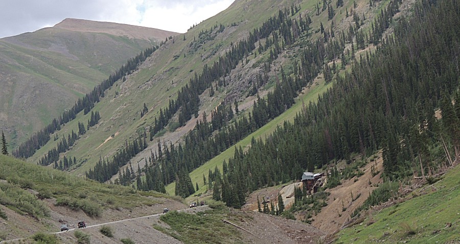
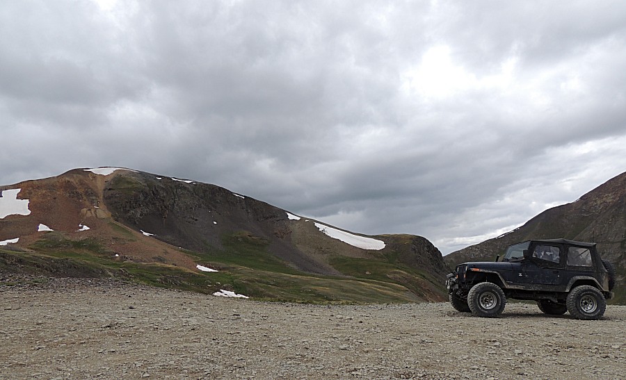
| On the move to Cinnamon Pass - looking back
towards Animas Forks (that would be in the valley) |
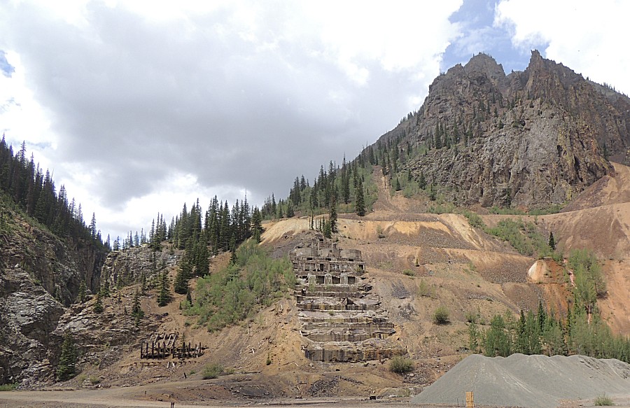
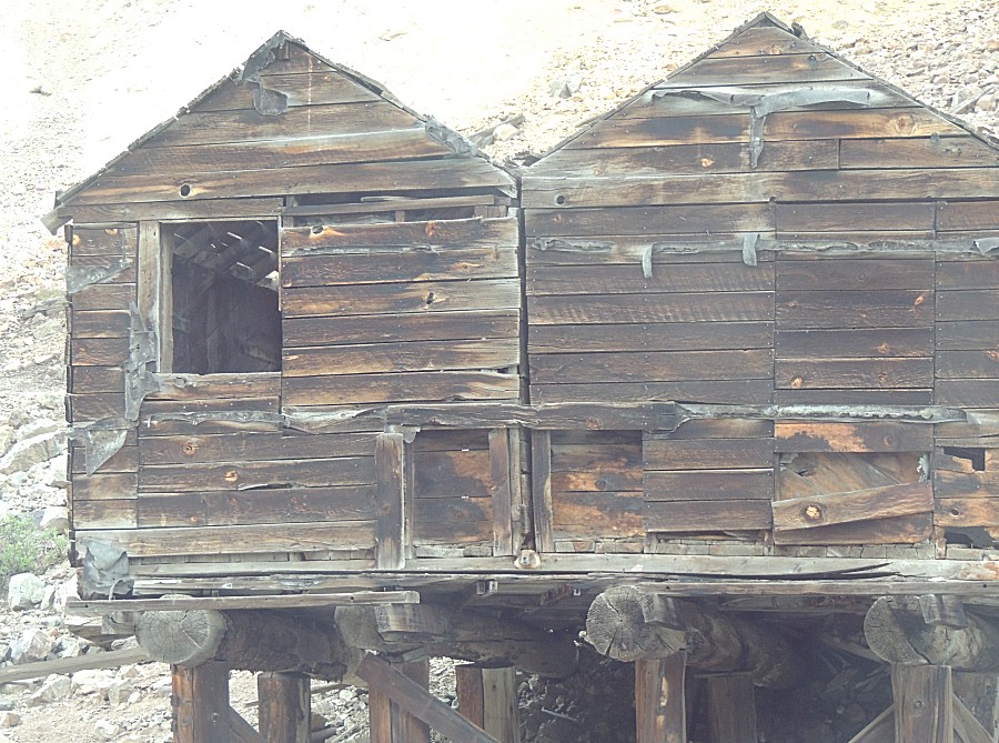
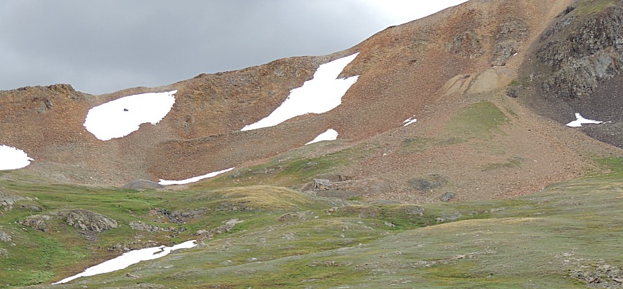
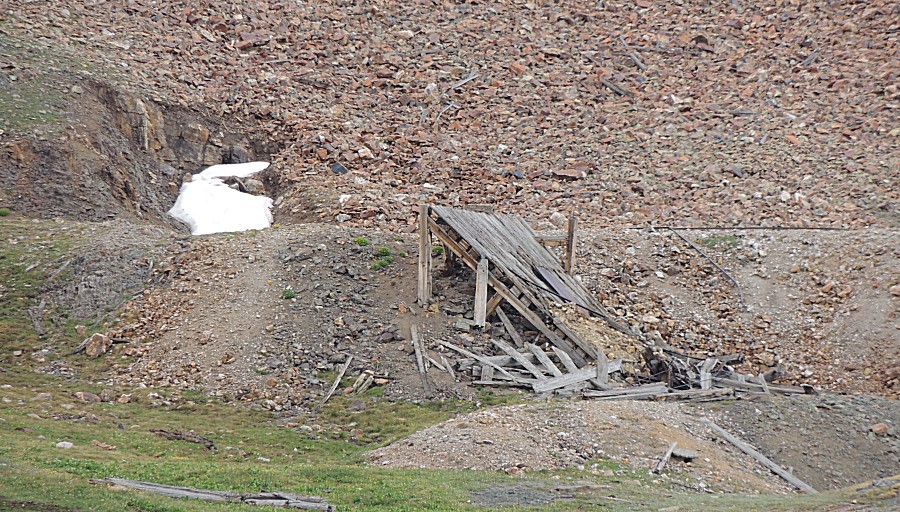
| A bit of mining here too. Perhaps another day
to spend some time walking to the structures. |
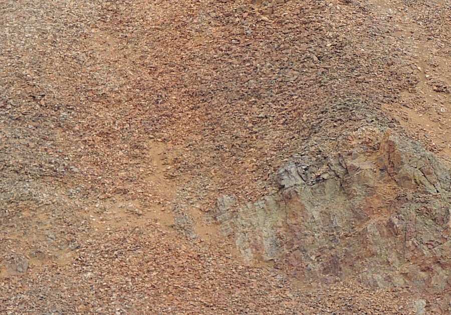
| texture - just because |
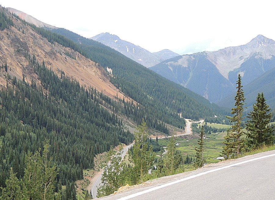
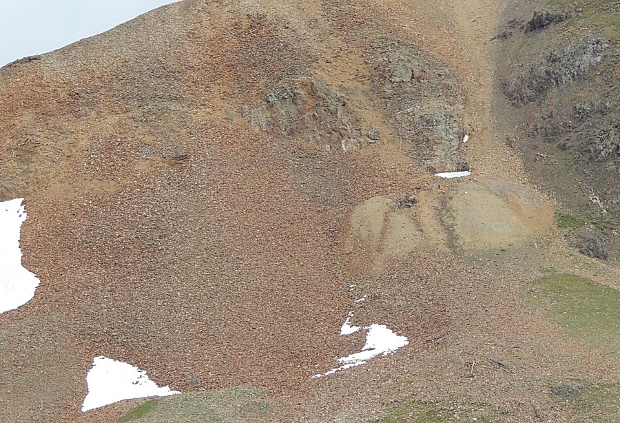
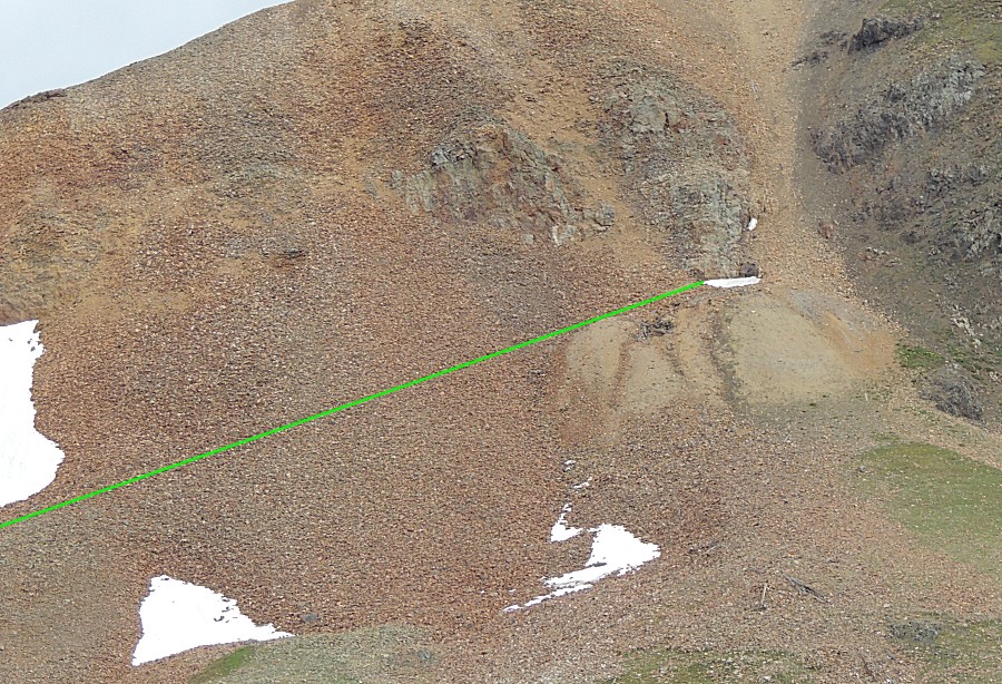
| Hmmm
- un-natural "straight line" heading to the tan fan of rock. Someone
dedicated some time to do a bit of digging and perhaps "strike it rich". |
| Panorama Click for a larger image |
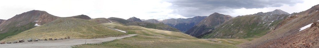
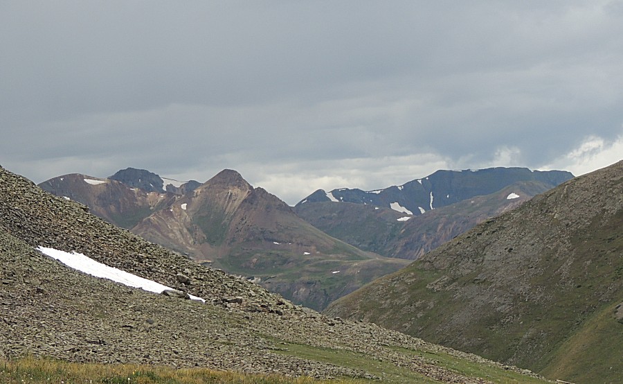
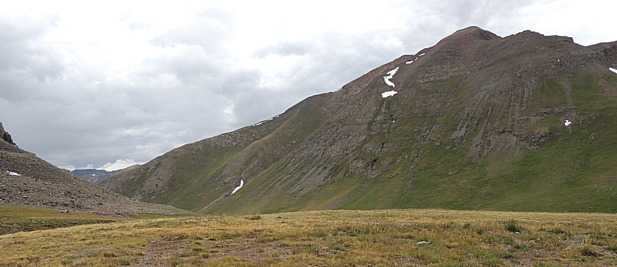
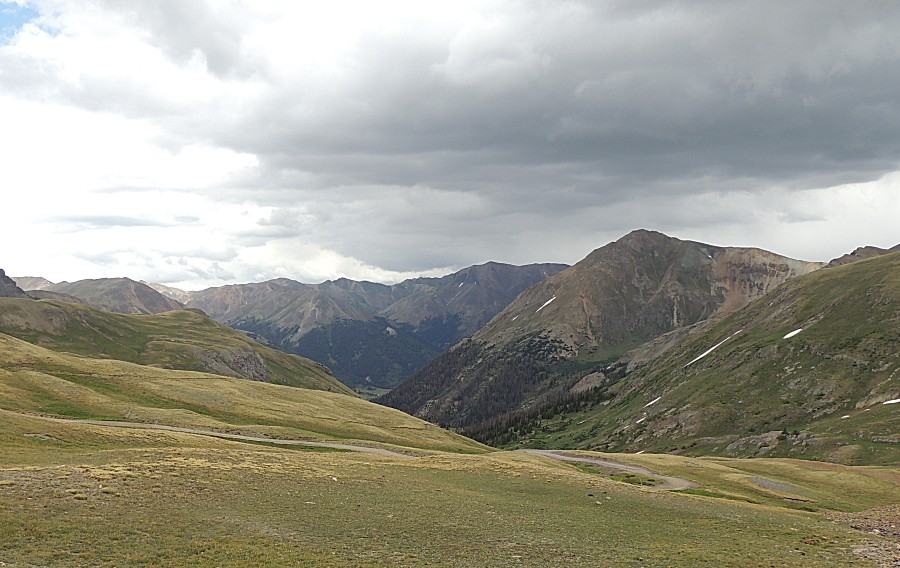
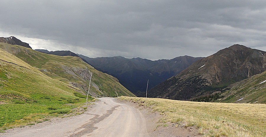
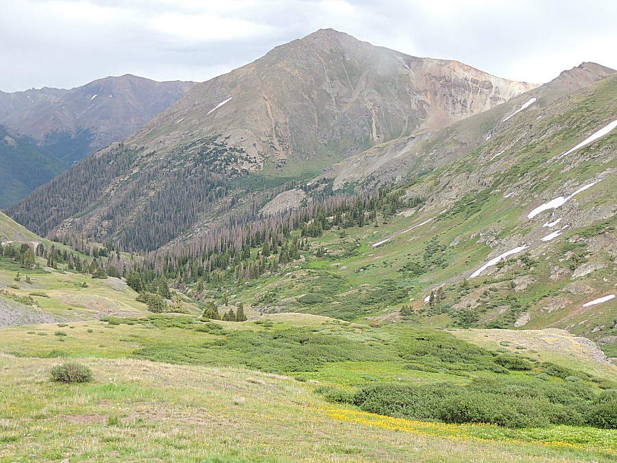
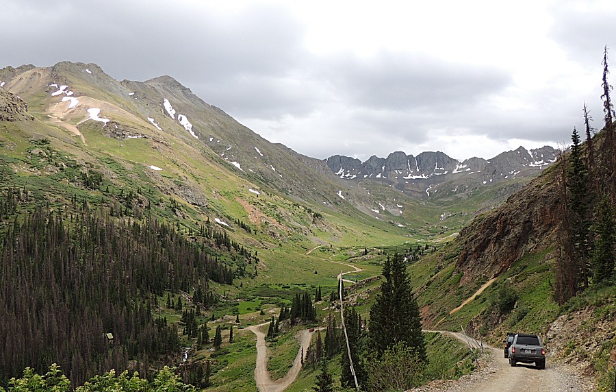
| Looking east / northeast to where we'll be
driving. I think this will be the last "above timberline" visit for the trip. We'll travel to Slumgullion Summit and Monarch Pass - but I believe both are still below timberline. |
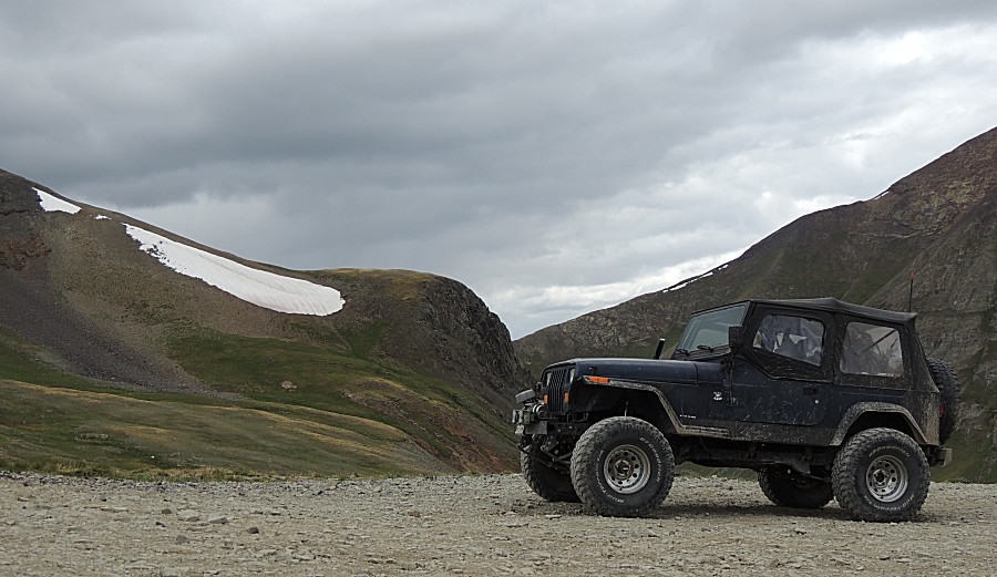
| Jeep pix with a consideration to make it into
an avatar picture for the jeep group |
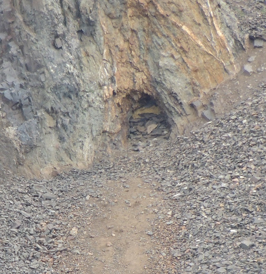
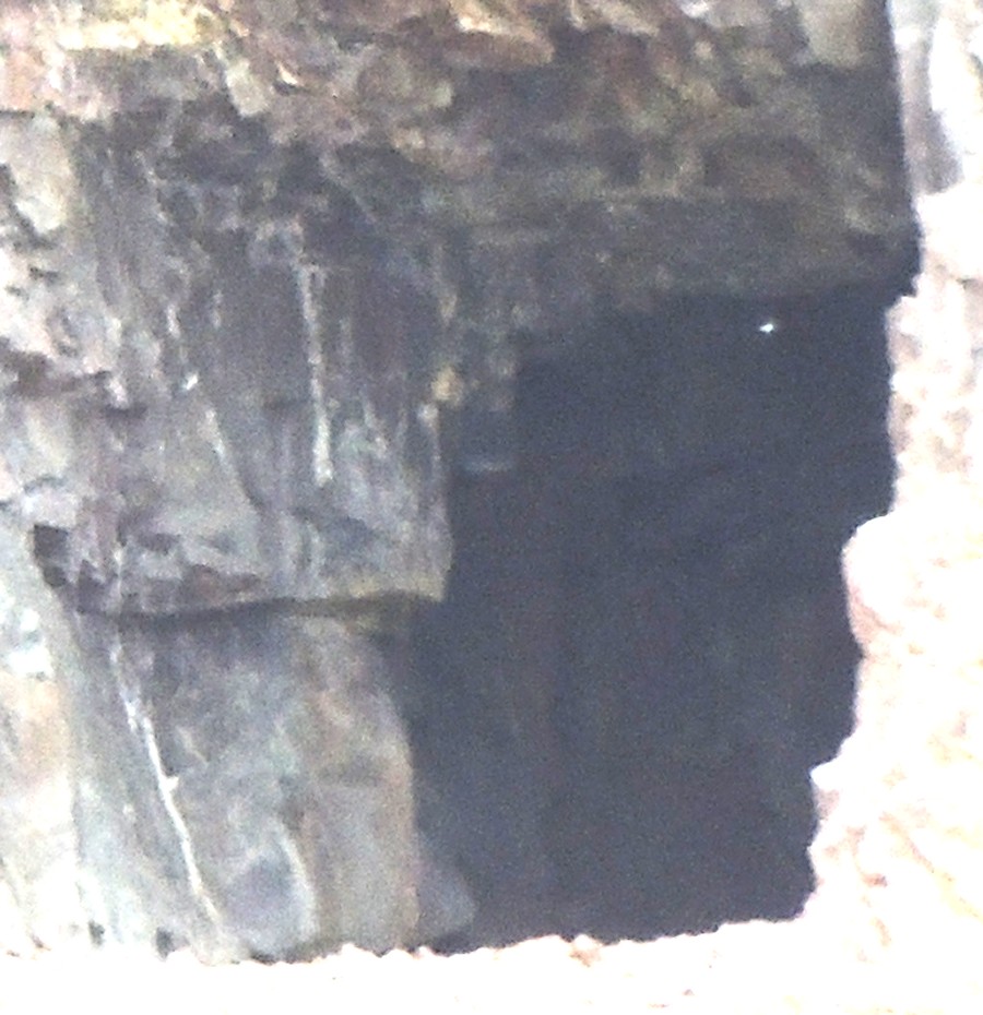
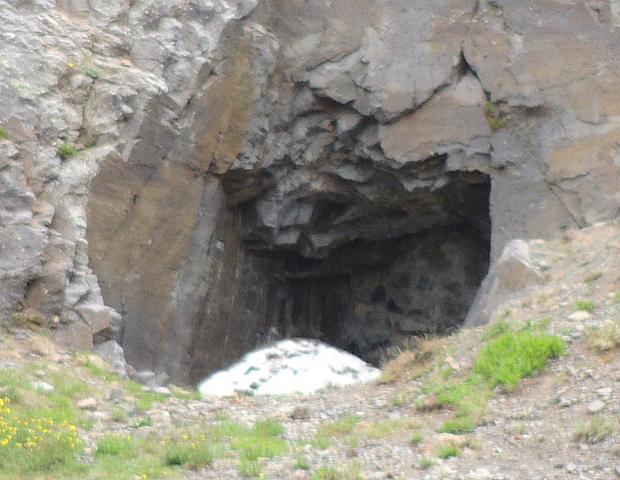
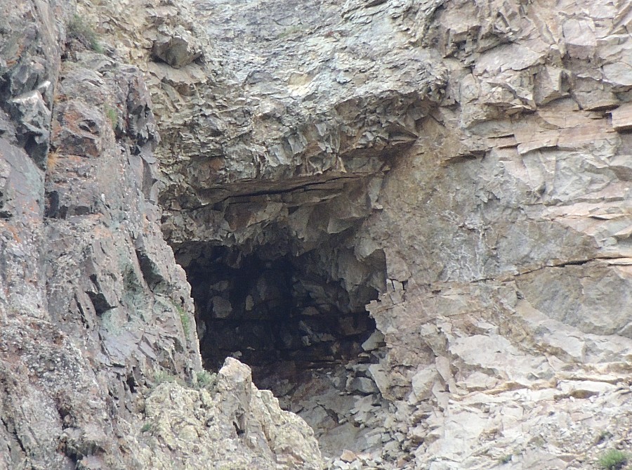
| I can't tell if this adit has a metal gate
added to it - or if it simply does not go into the mountain very far. |
| And another - this looks to be short. |
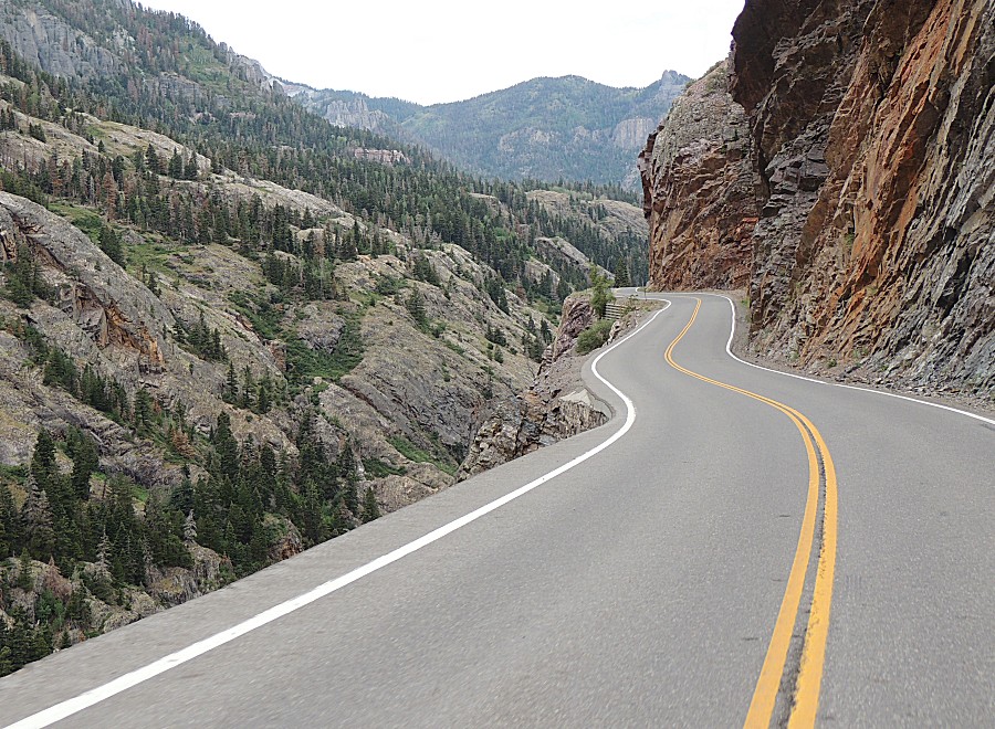
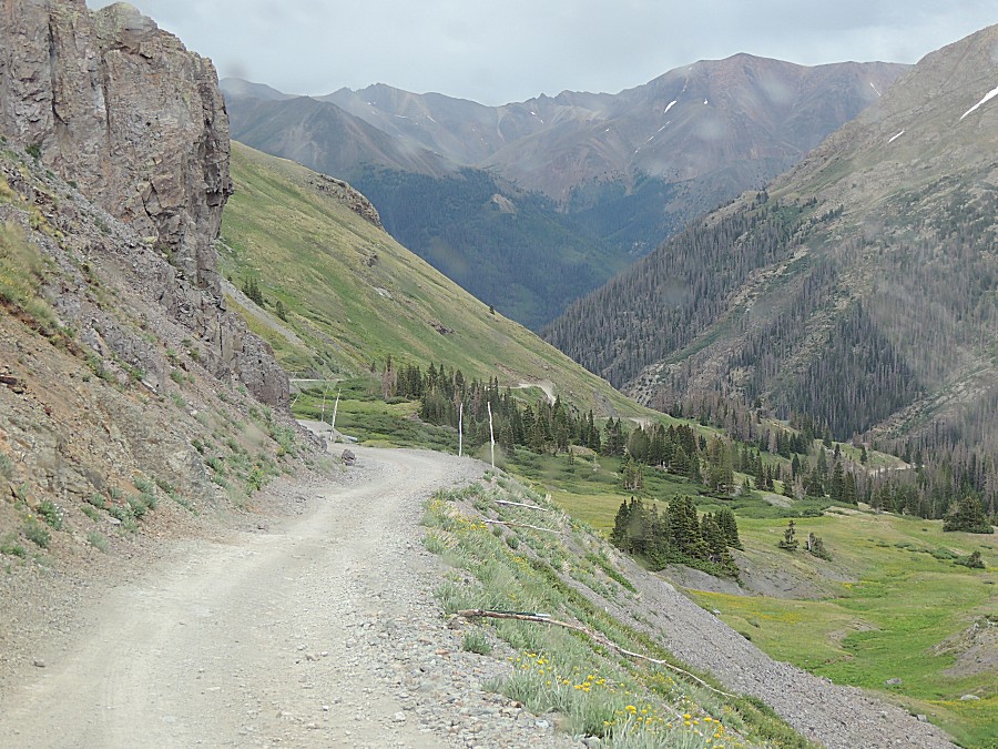
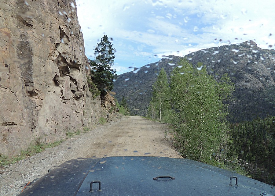
| On the move with some passenger side pictures |
| Until we reach those switchbacks |
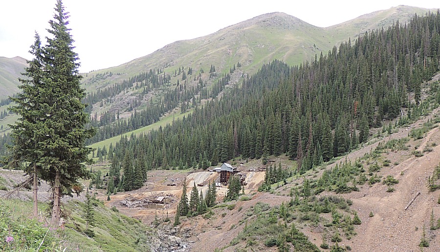
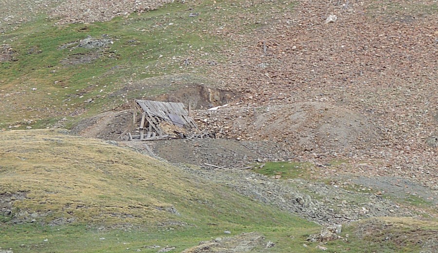
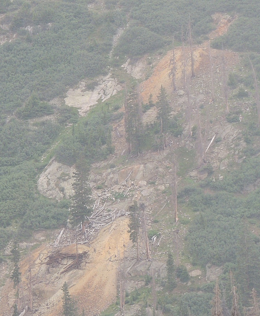
| Mine activity across the valley. This has some
lumber for an old structure. |
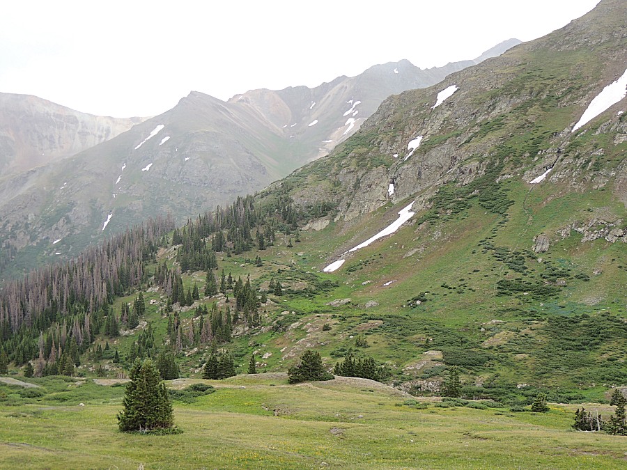
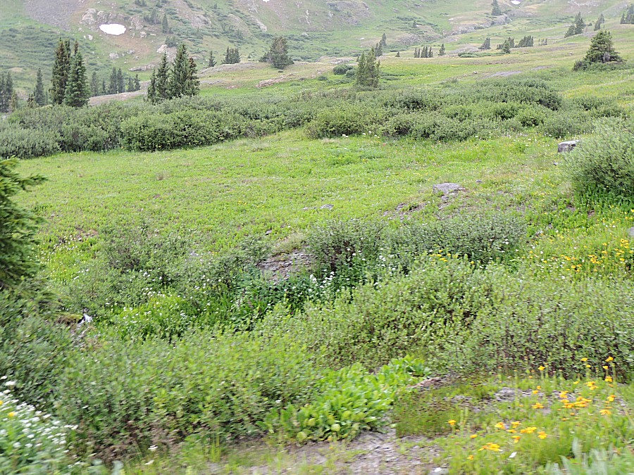
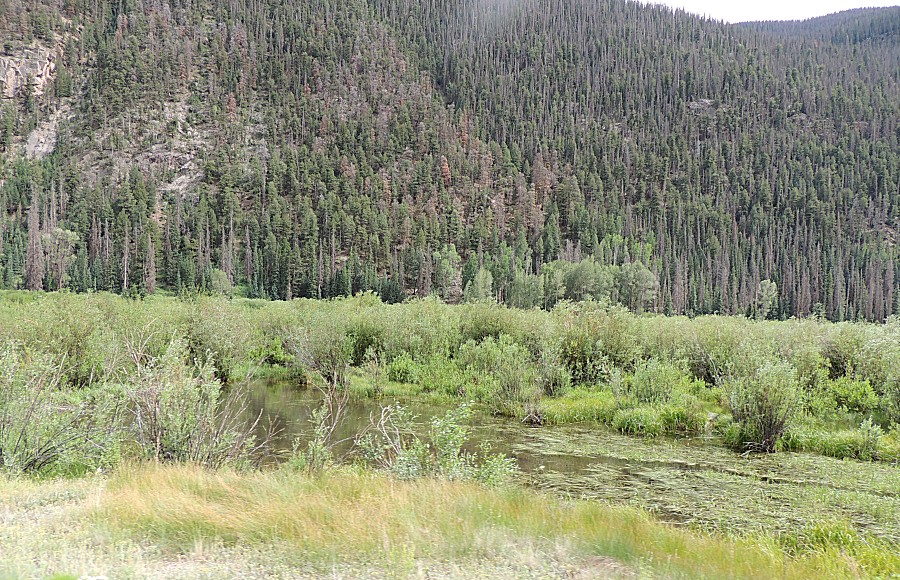
| Things are GREEN! |
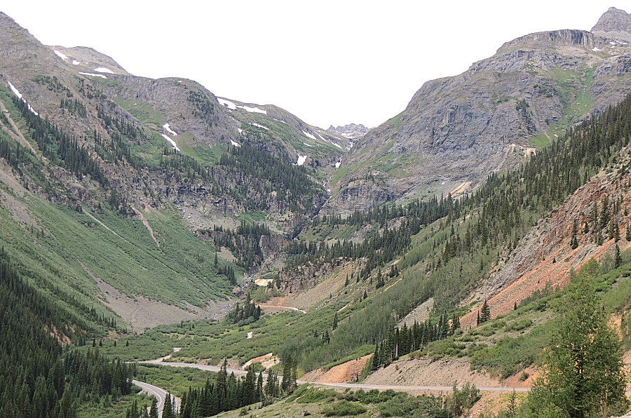
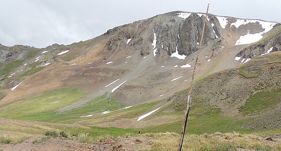
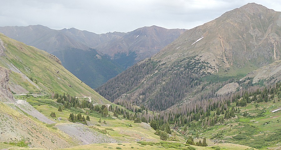
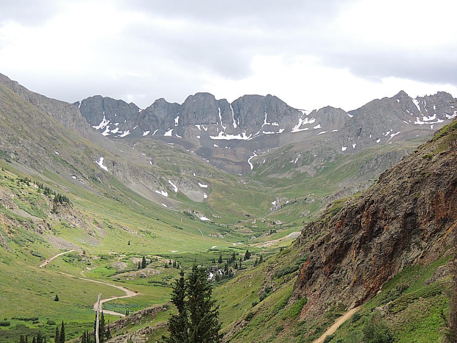
| A nice surprise - a beautiful mountain scene.
It's called American Basin |
| American Basin There's a parking lot in the basin and then a hiking trail up and over the ridge at the left of this picture. |
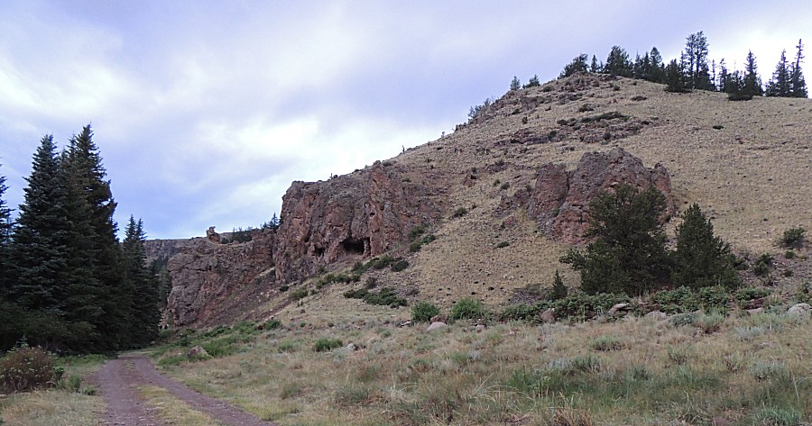
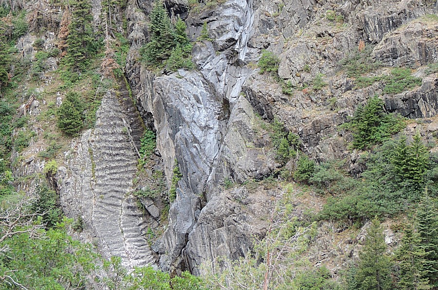
| More exploration holes in the mountain. |
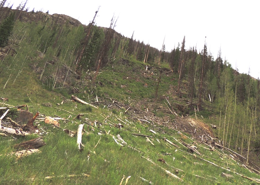
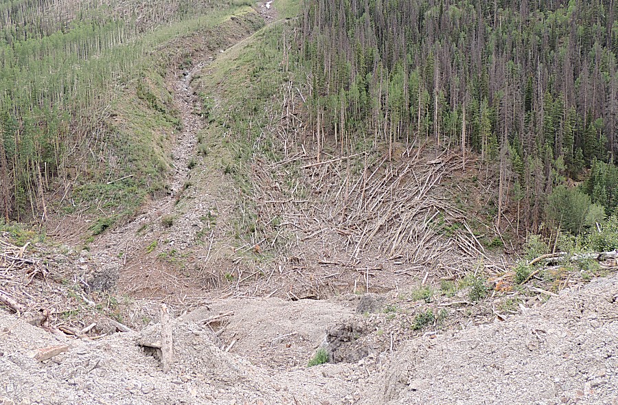
| Avalanche run - void of standing trees. |
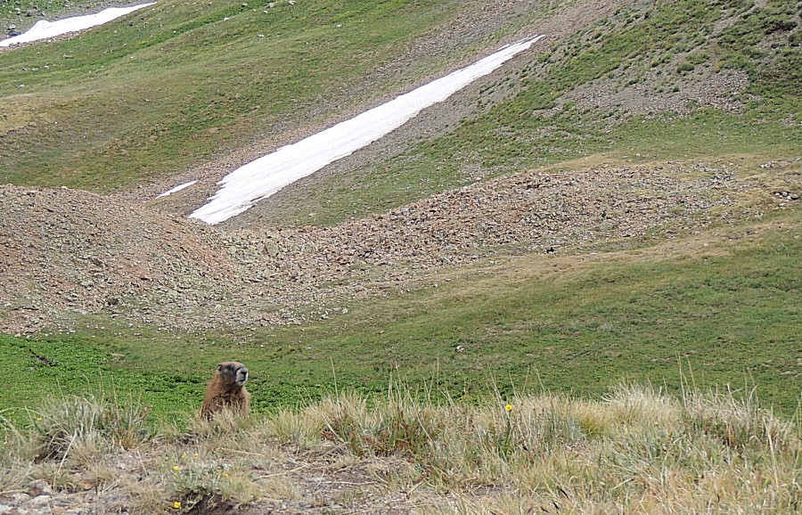
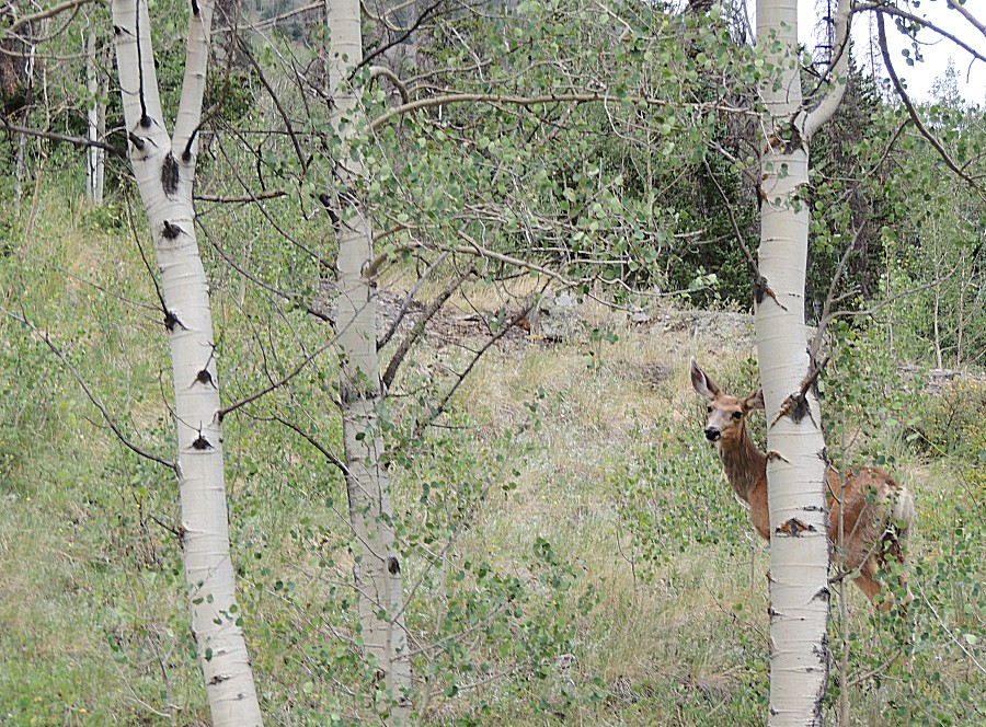
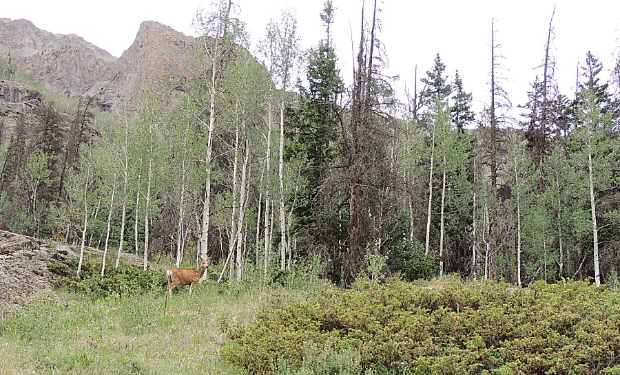
| Is it safe to cross the road? |
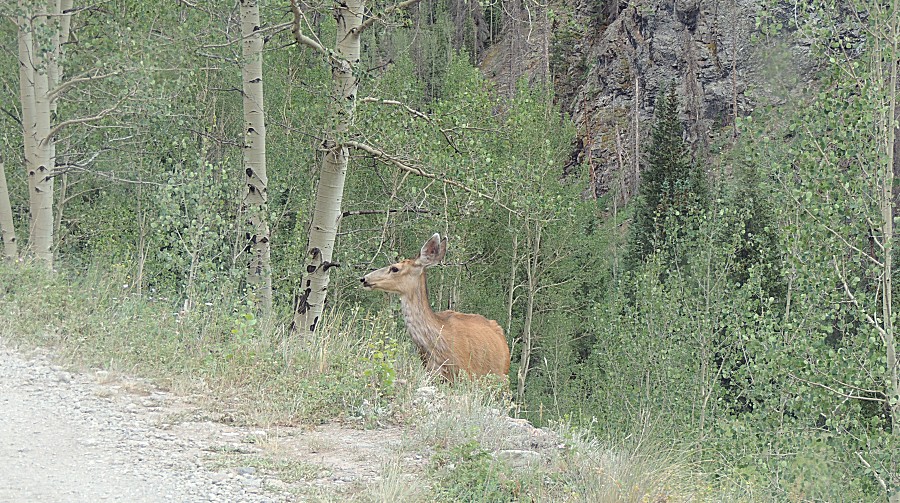
| I'm going for it. |
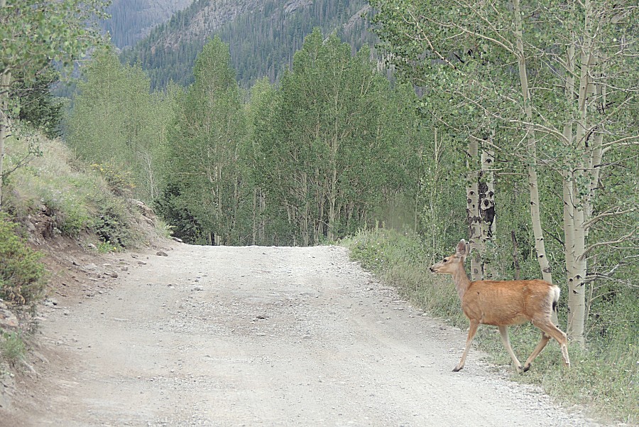
| Thanks for waiting - see ya! |
| Another gulley for rock and avalanche slides. |
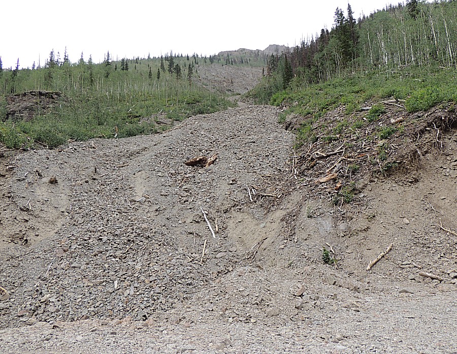
| Notice
how the trees, uphill from the creek, are blown uphill - the flowing
avalanche doesn't stop when it meets the valley - it has momentum and
flows uphill on the other side, taking out more trees. |
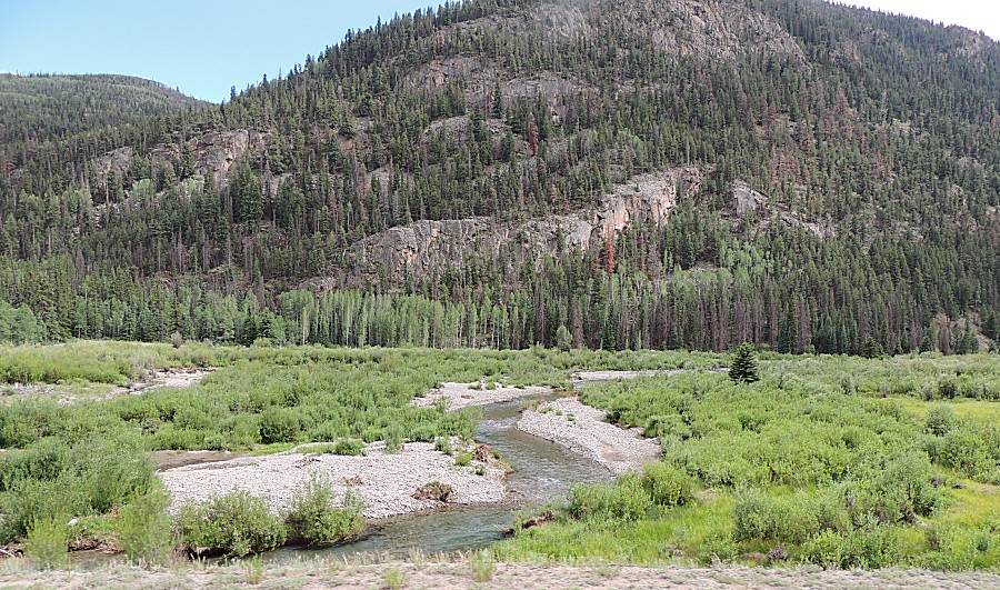
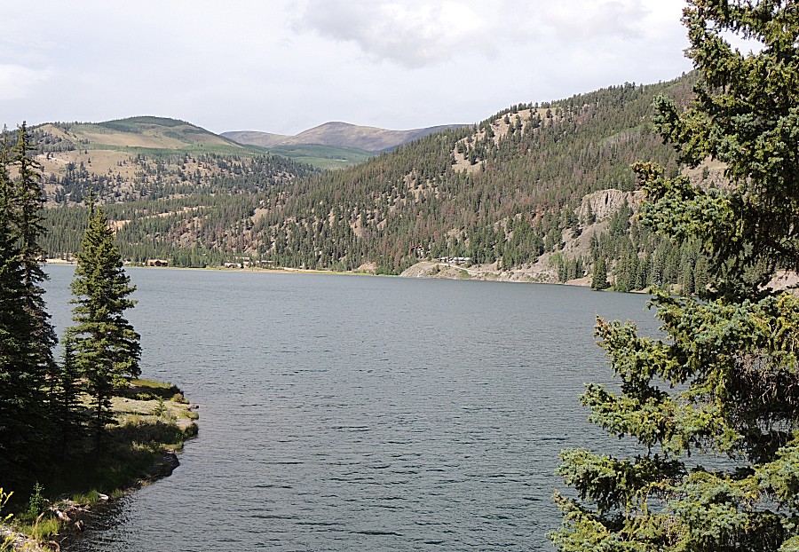
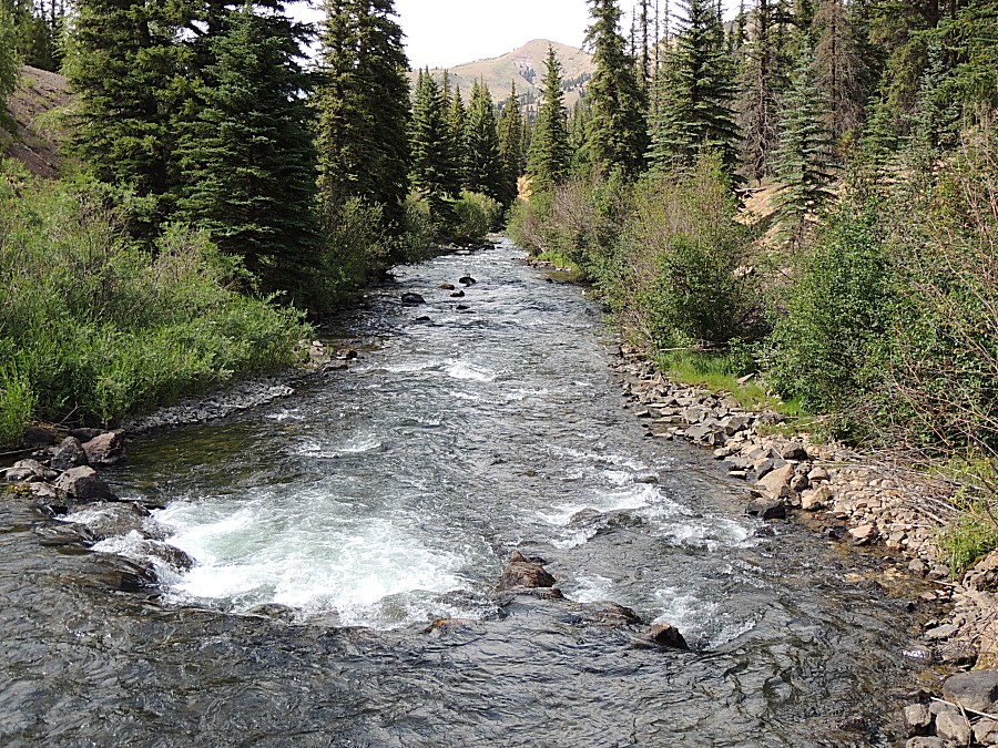
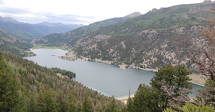
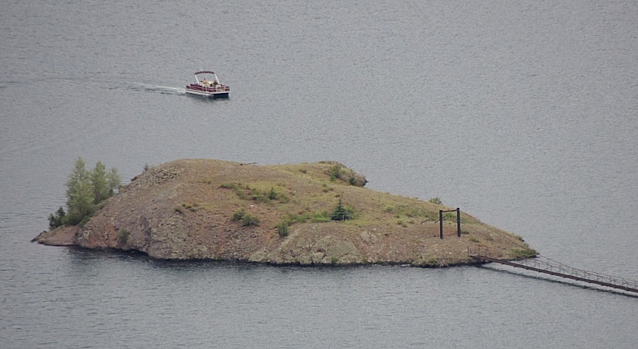
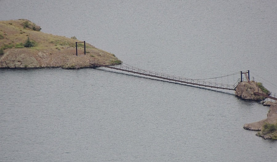
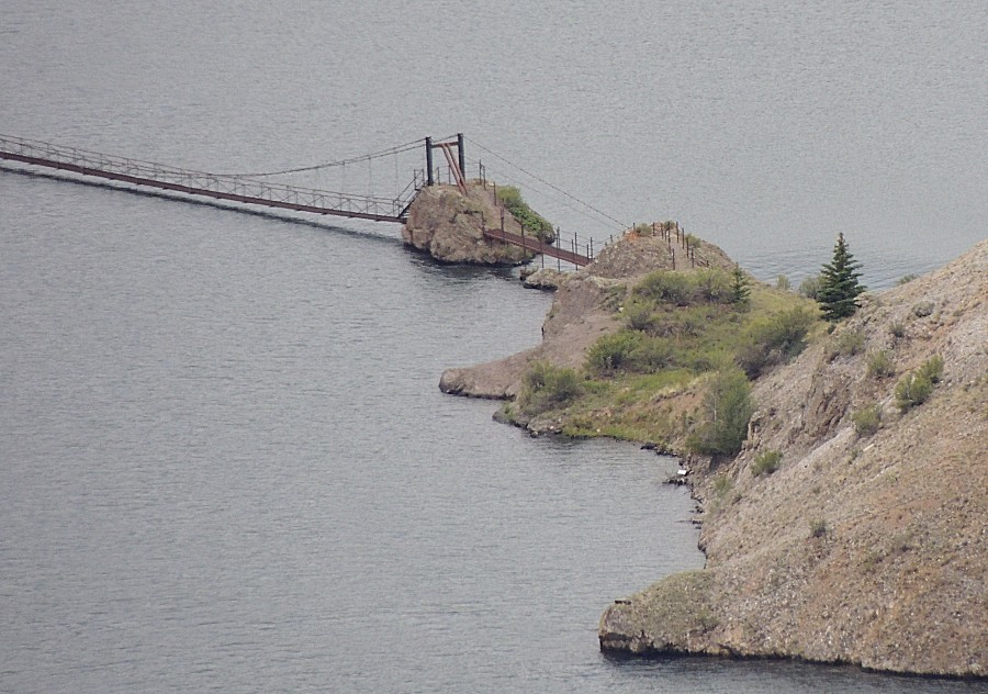
| In the valley approaching Lake San Christobol
- near Lake City |
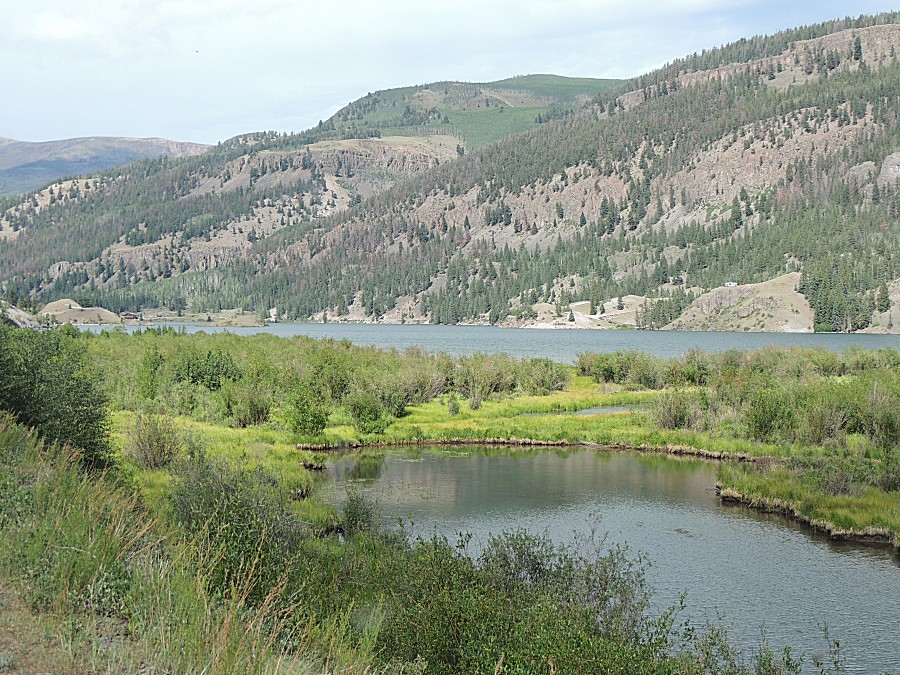
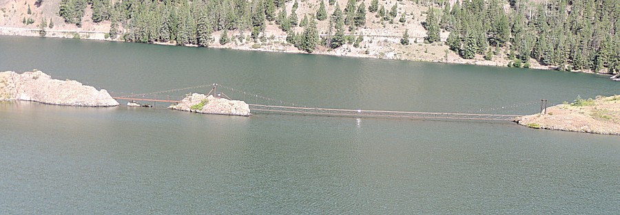
| A curious stretch of bridges to the islands in
the lake. I wonder if they are open or gated / locked. |
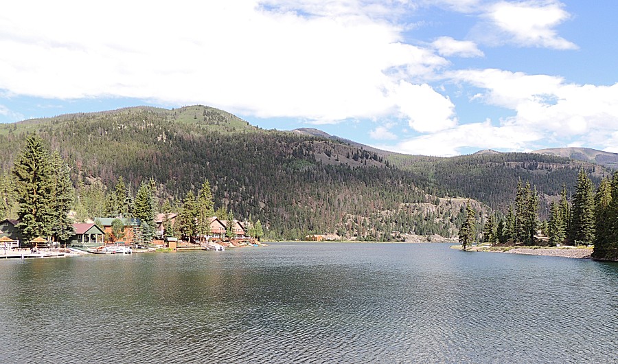
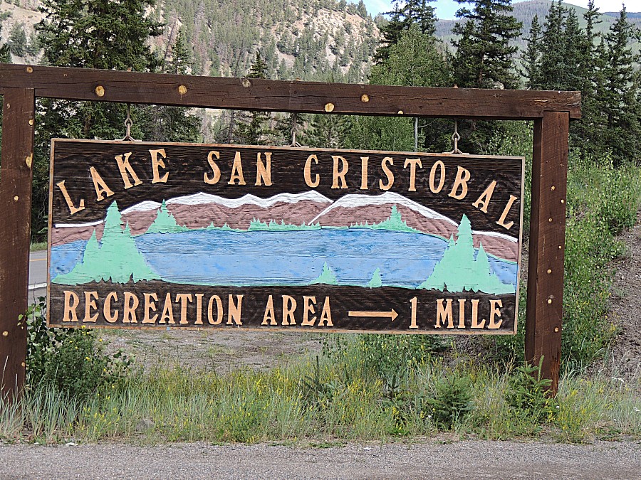
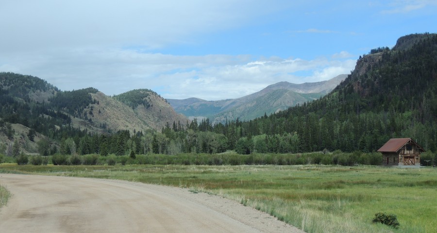
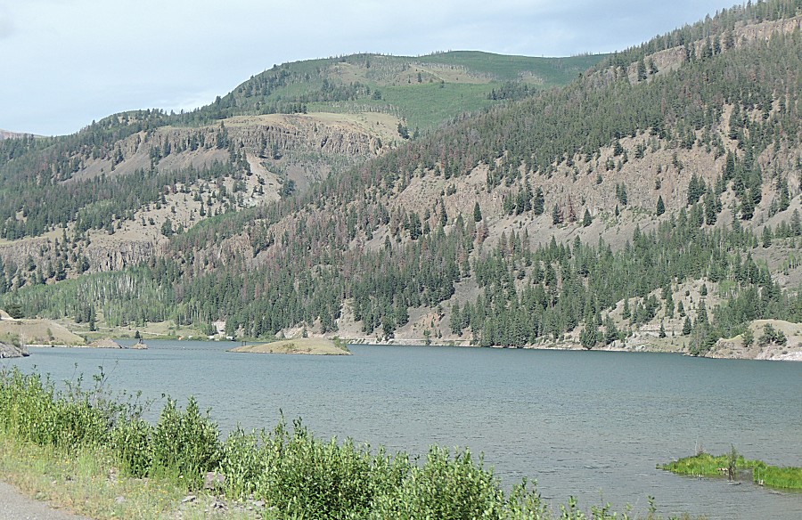
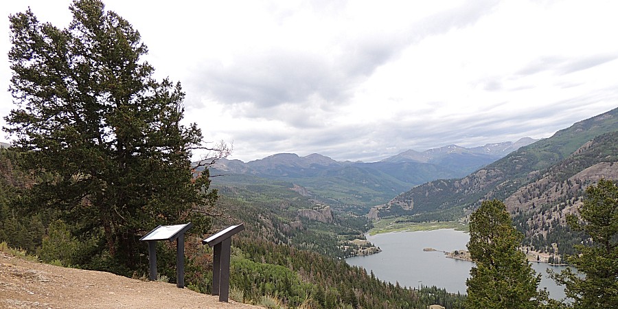
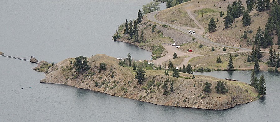
| In search of a campsite we'll stop at the
lookout point for the lake. |
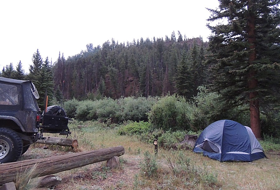
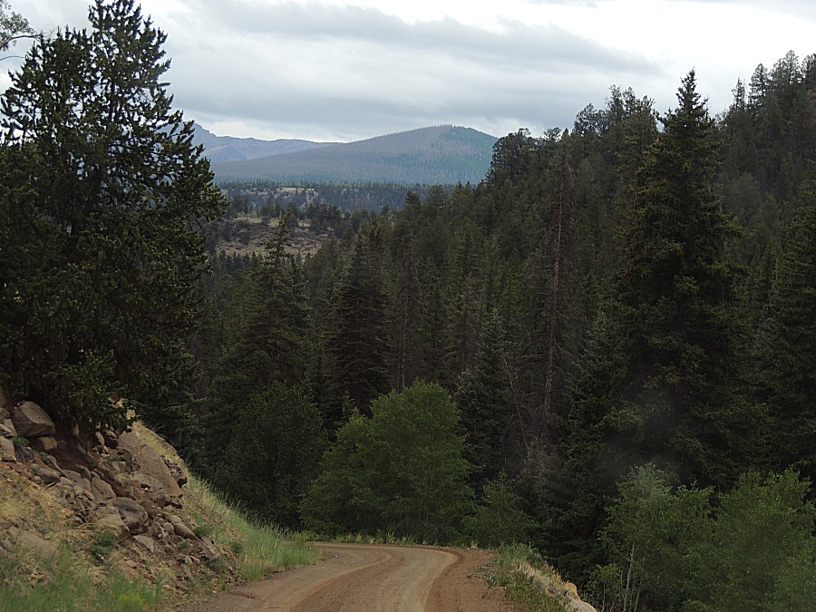
| We
have left the asphalt highway with the campground at Slumgullion
Summit. There
was a campground up at the summit - void of trees (lots of wind) and
high in elevation. It'd be a COLD night. We're jumping down on some
forest service road that shows three campgrounds. I'm hoping the road
DROPS in elevation quickly before we get to the campground / hoping
they're at a lower / warmer elevation. |
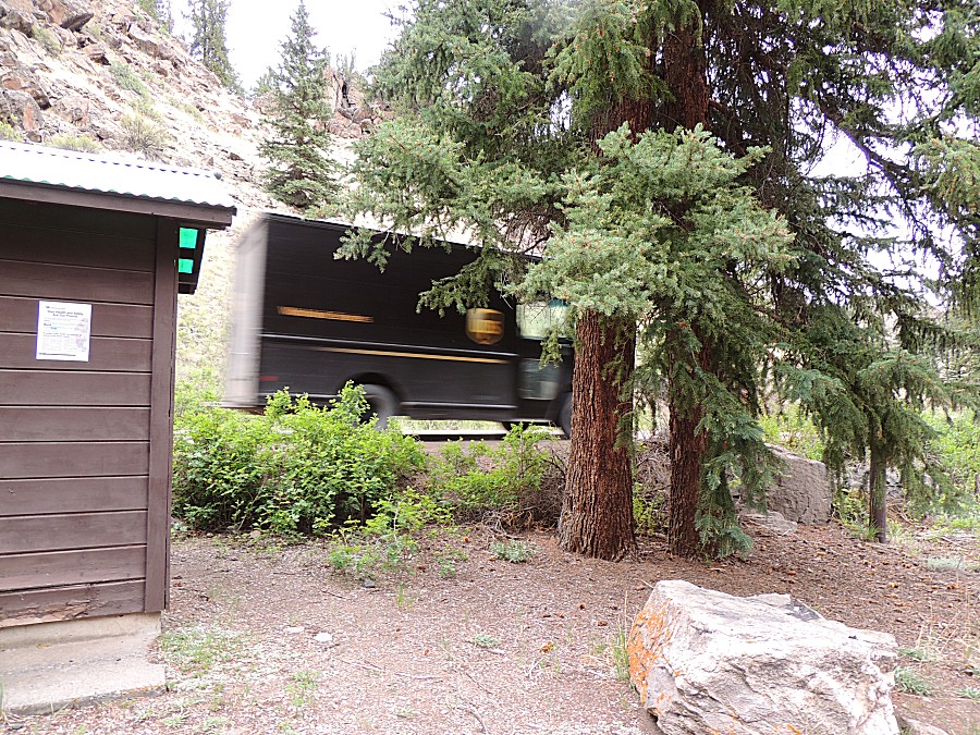
| We've
driven by two campgrounds. The second looked promising. Moving to the
third to check it out - all are within a mile or two of each other. |