| You're viewing
the FULL photo set for
Day 4's photos (129 photos). If you wish to switch to the HIGHLIGHTS ONLY photo set (77 photos), click here. |
C to C 2020
Day 4 - Wednesday, July 15, 2020
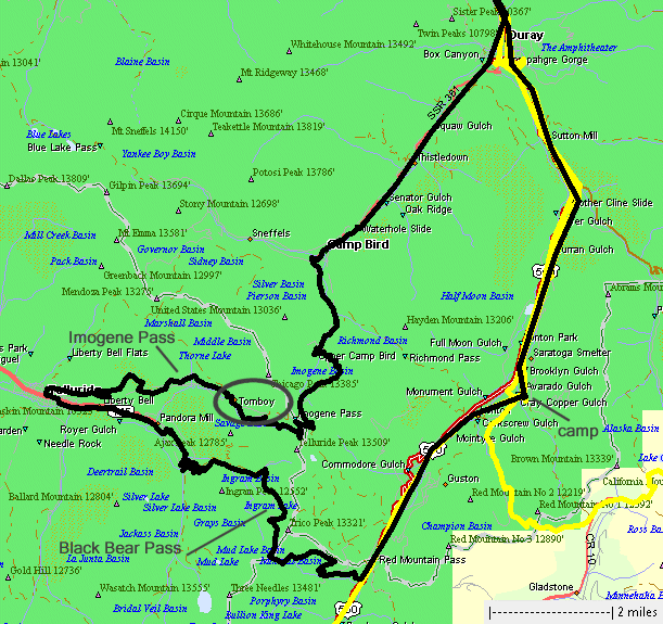
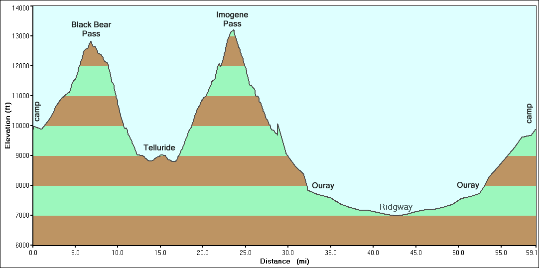
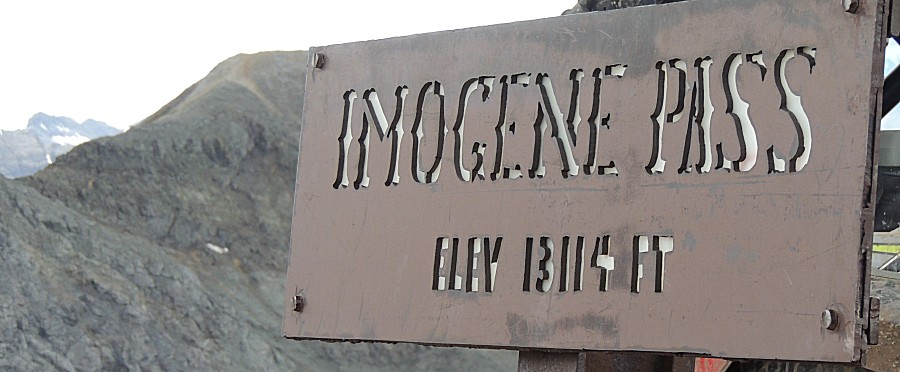
Black Bear Pass, Tomboy townsite, Imogene Pass
| Today
we'll check off another big list item - the Tomboy townsite / mill.
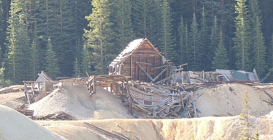
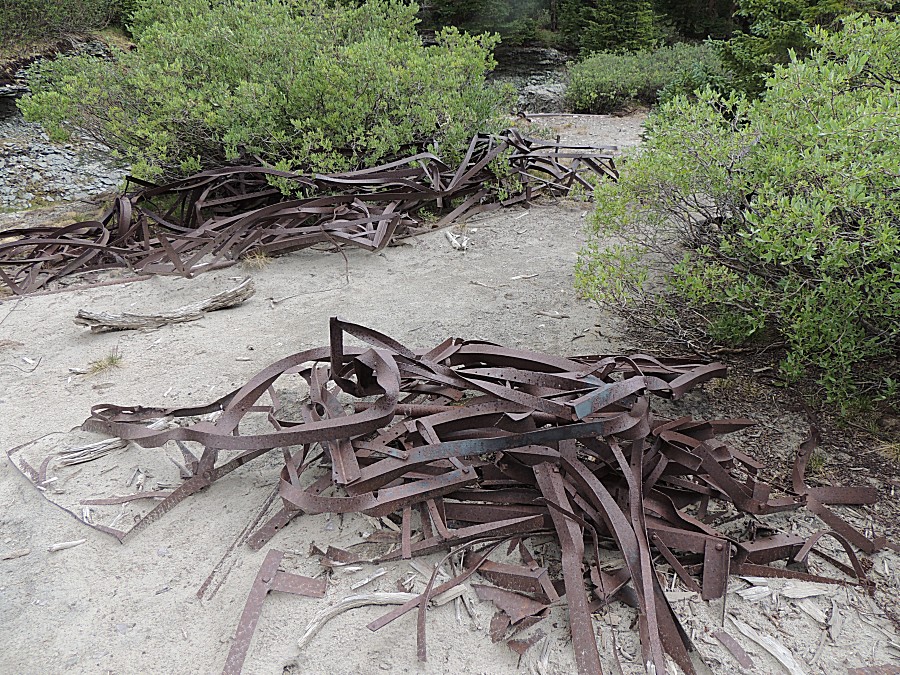
There's very little standing though there is a lot of downed material
to check out. While you can scroll through the whole page, you may also jump to a specific section: 0) Web page start 1) Start the Black Bear Pass trail 2) Start dropping down the zig-zag's 3) Start Imogene Pass trail 4) Tomboy Townsite 5) Imogene Pass |
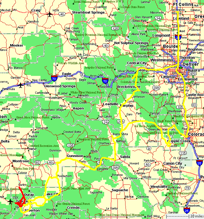
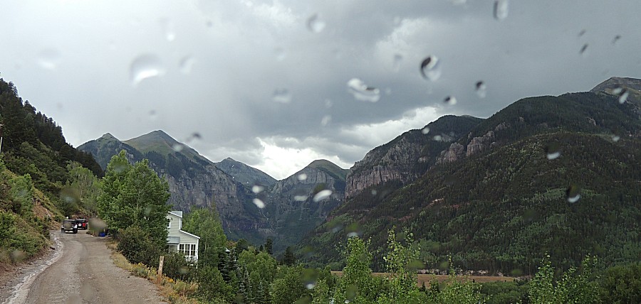
| We
made an unexpected jump up to Ridgeway and this quick 60MPH trek
doubled the days miles in but a short bit for what took most of the day
to process. The highway was less interesting. |
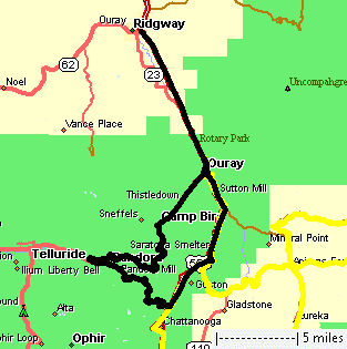
| Black
Bear Pass trail and Imogene Pass trail highlighted. Tomboy
townsite circled. |
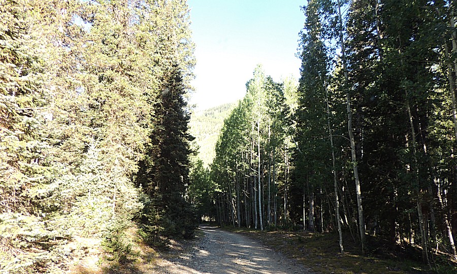
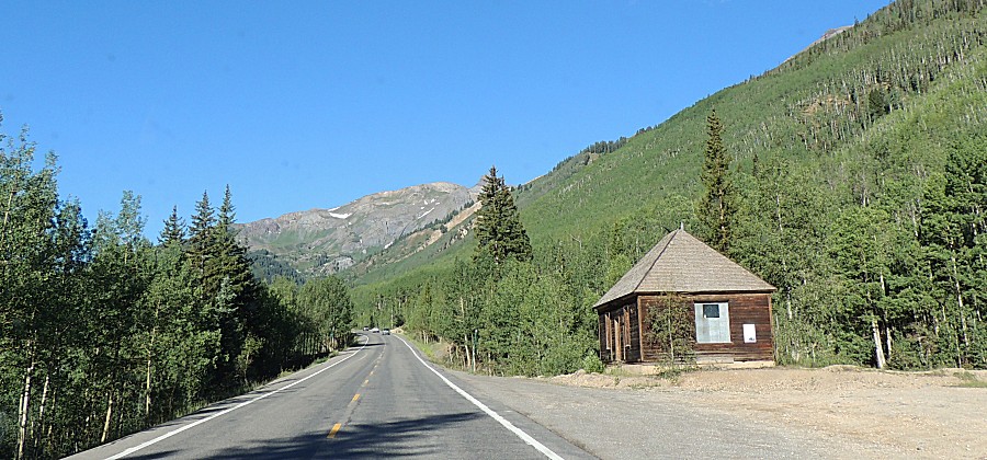
| Heading south to the Black Bear trailhead at
US-550. |
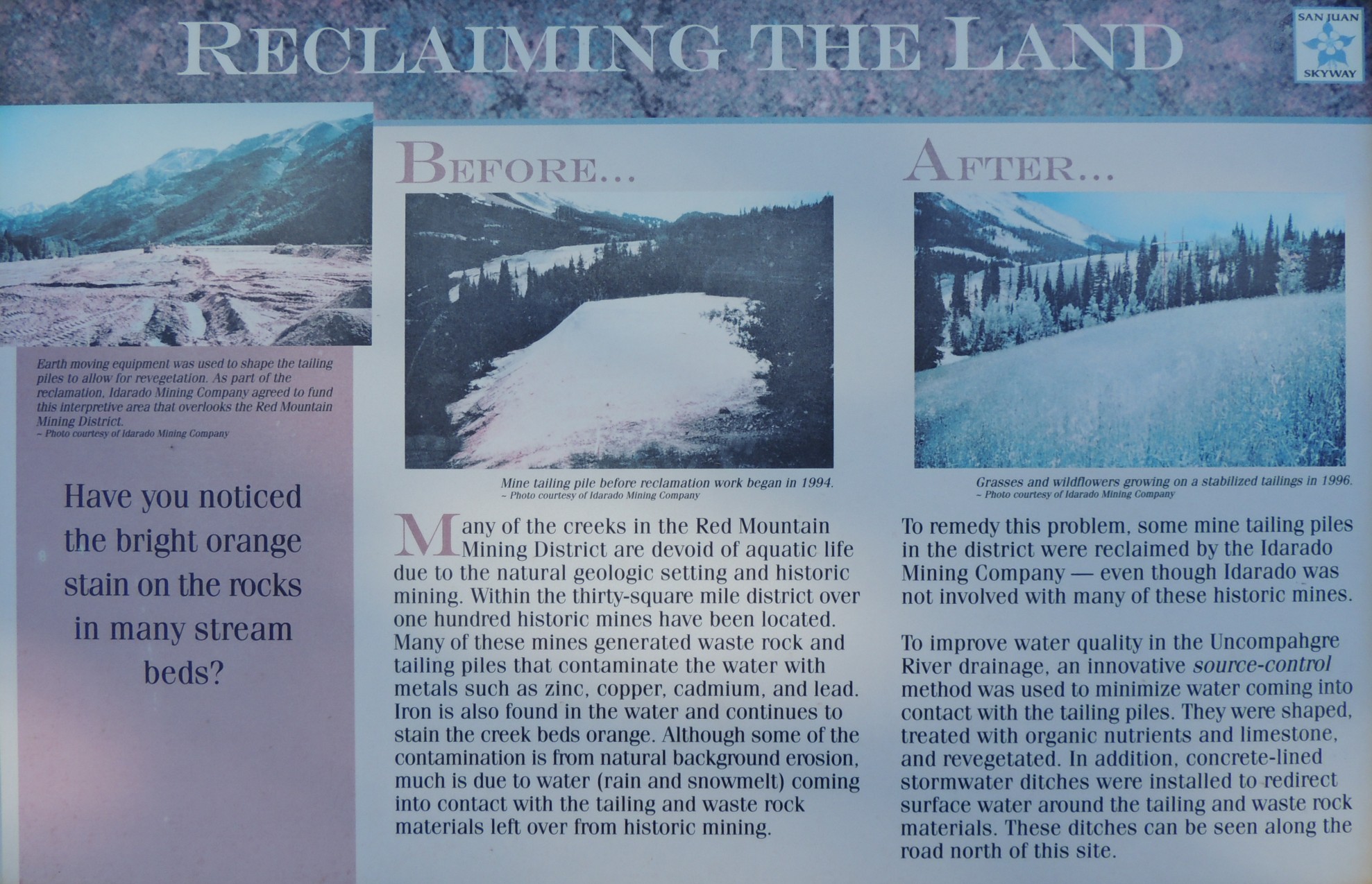
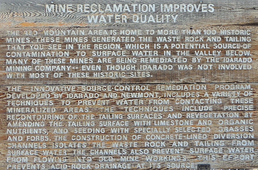
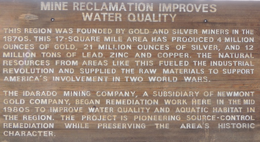
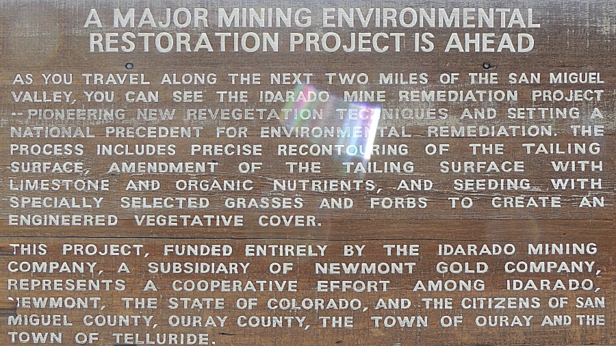
| Info sign Reclaiming The Land |
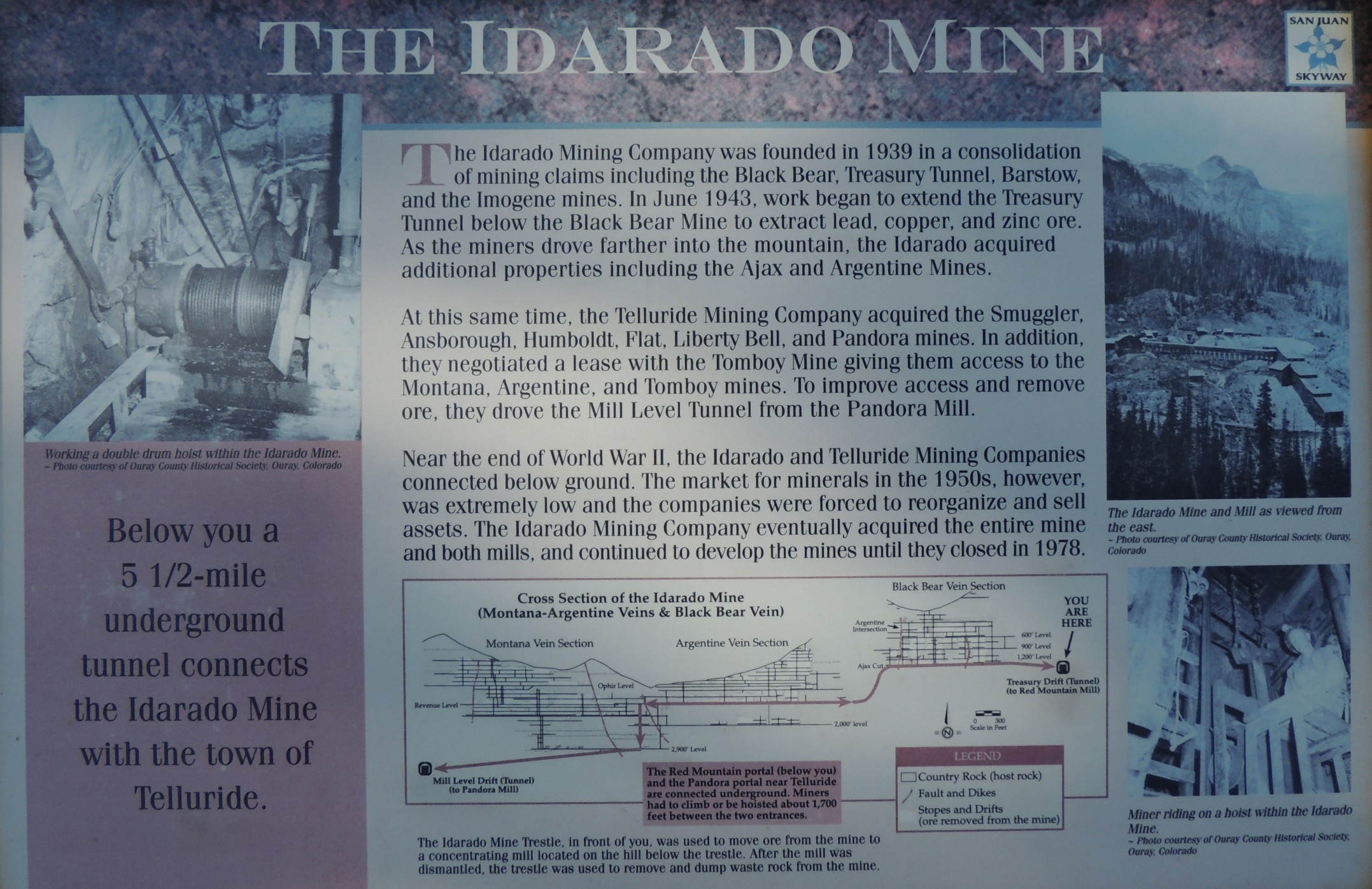
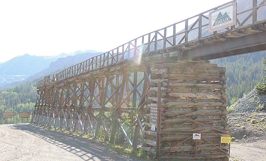
| Info sign The Idarado Mine |
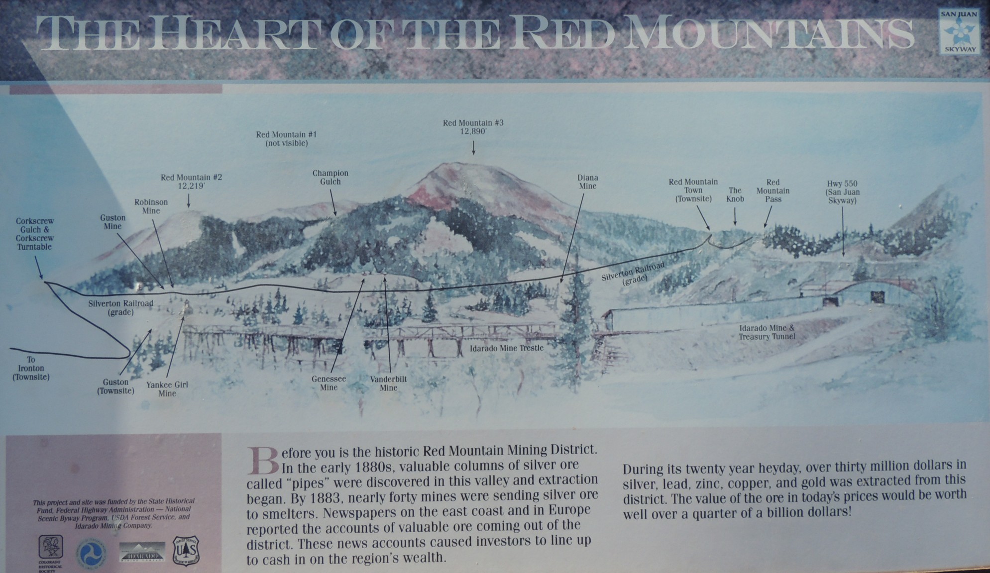
| Info sign The Heart of the Red Mountains |
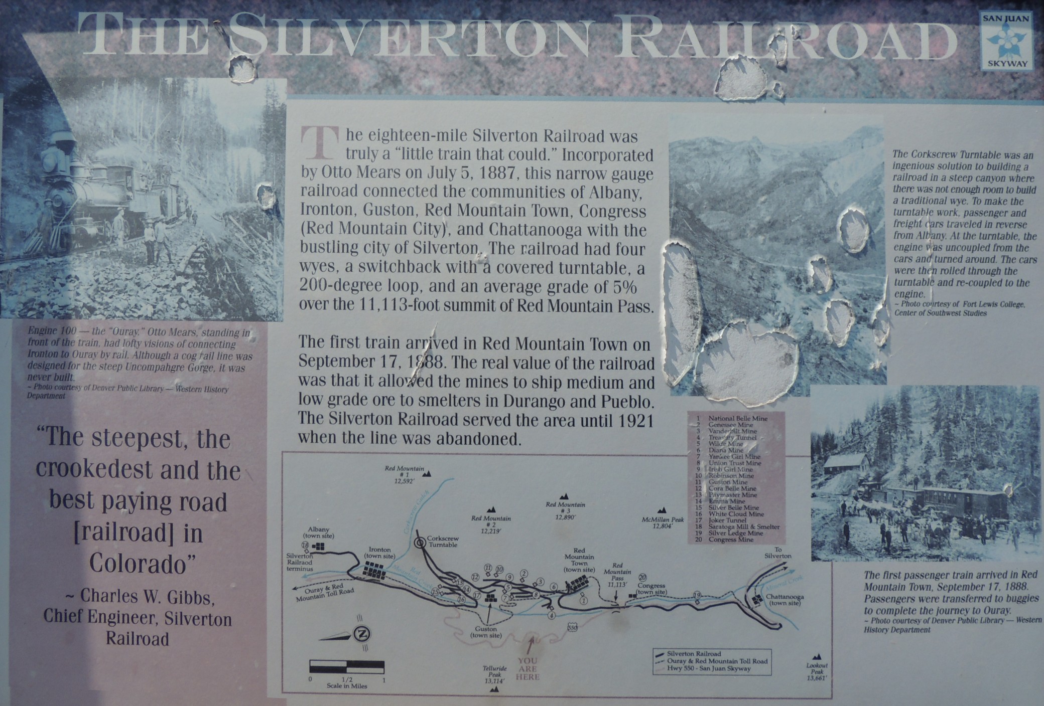
| Info sign The Silverton Railroad |
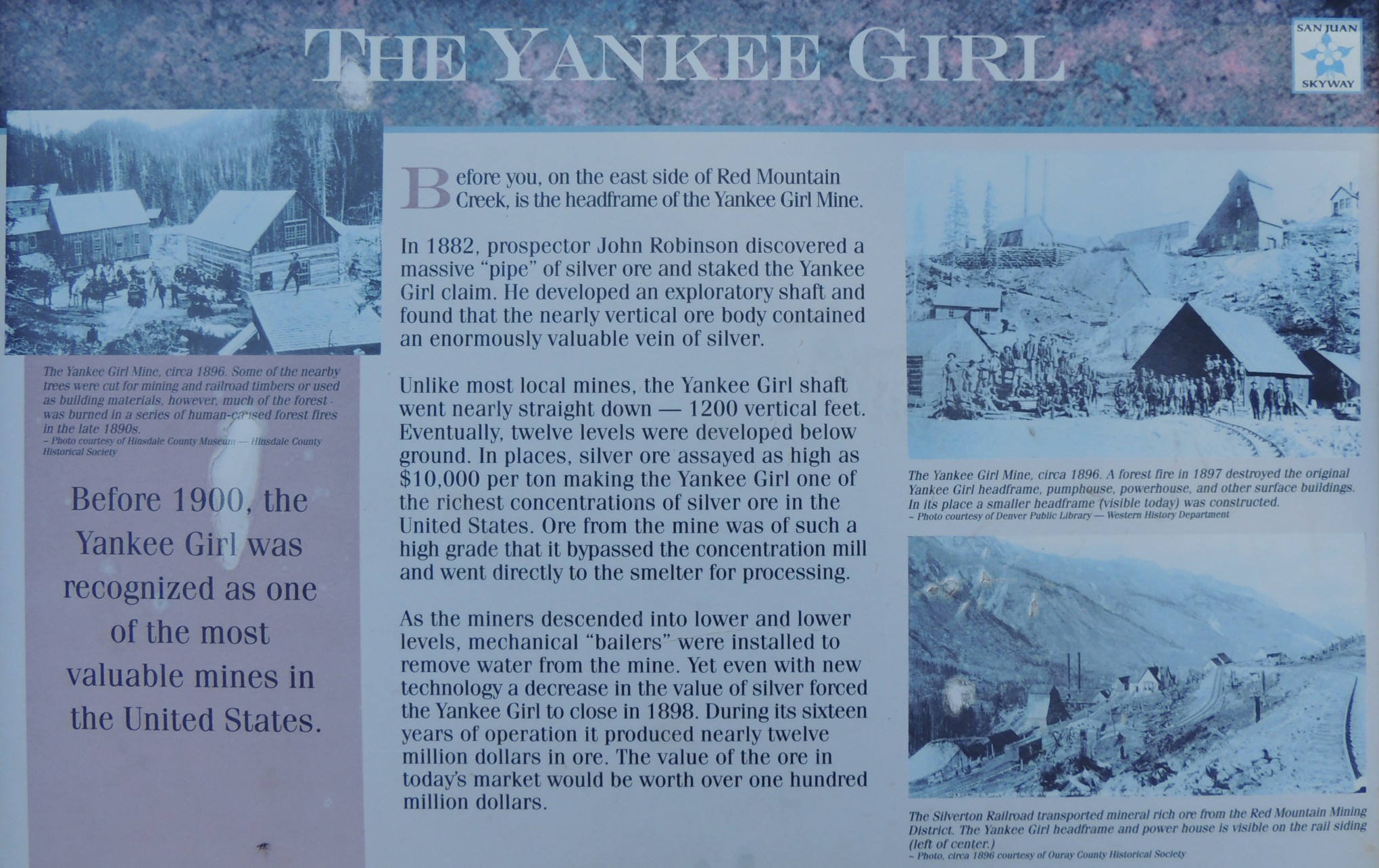
| Info sign The Yankee Girl |
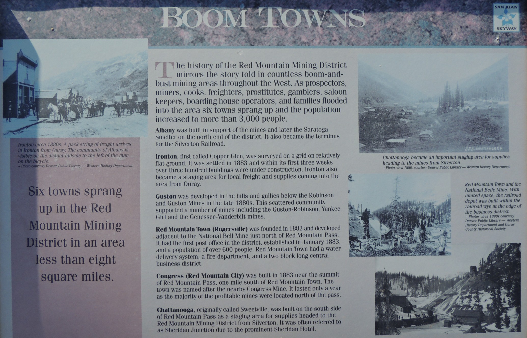
| Info sign Boom Towns |
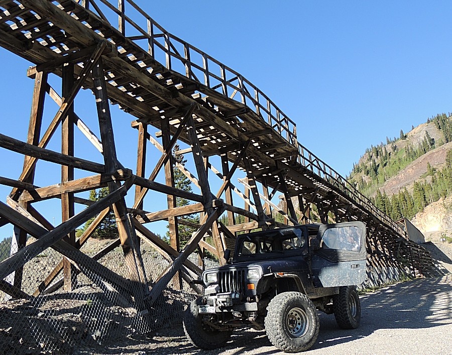
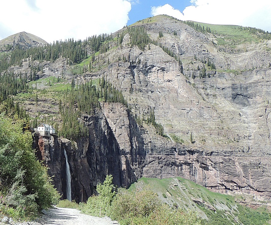
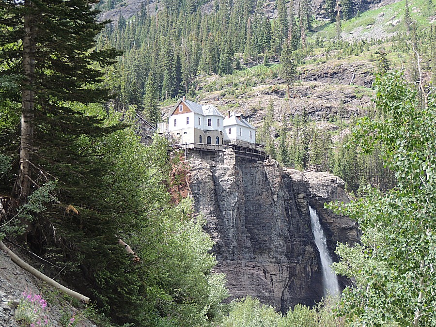
| Right along the highway, this is a well
photographed structure |
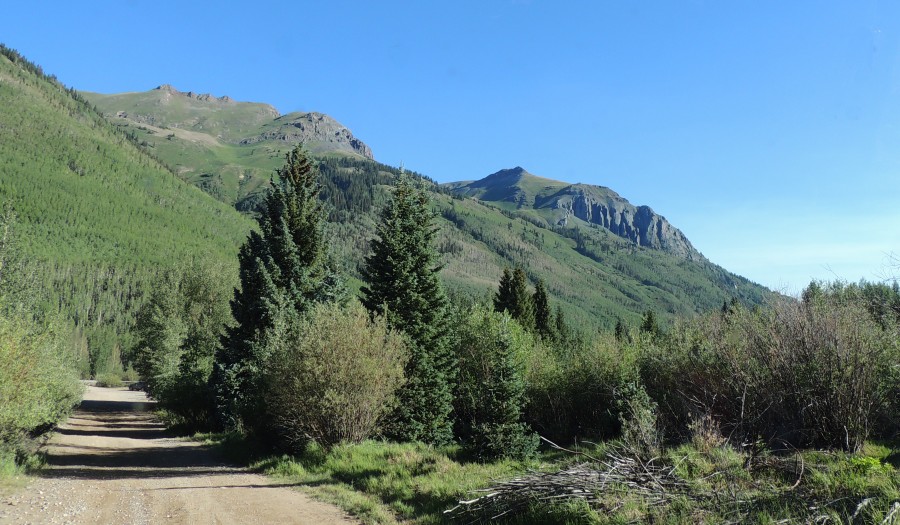
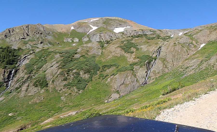
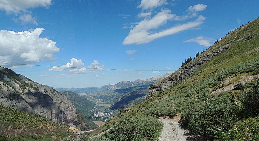
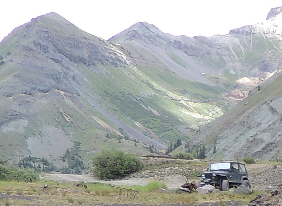
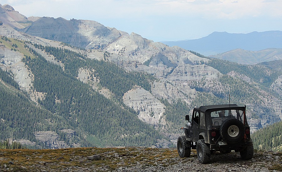
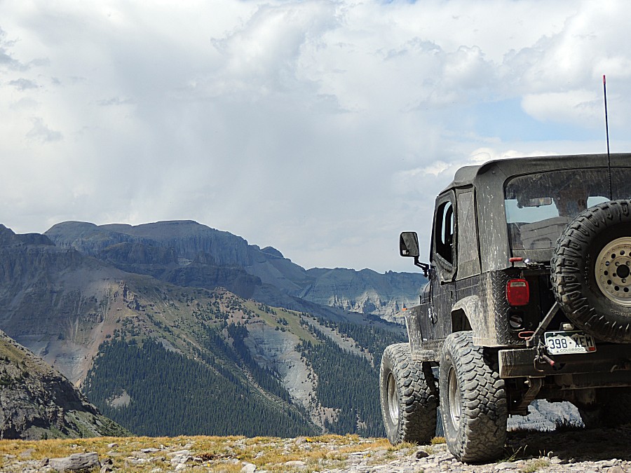
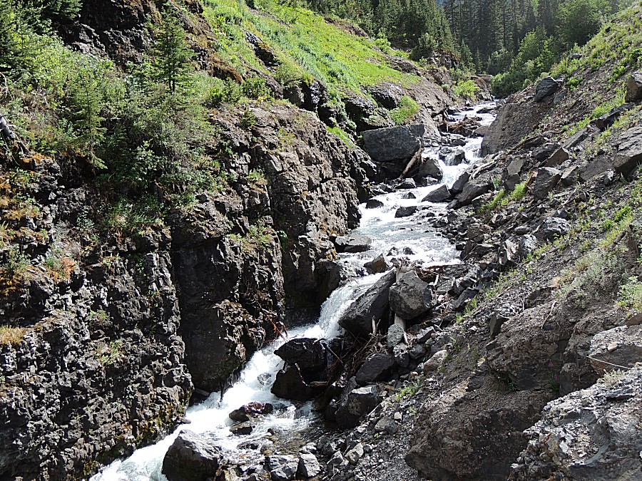
| On the Black Bear Pass trail |
| Panorama Click for a larger view |
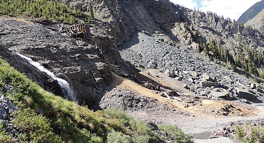
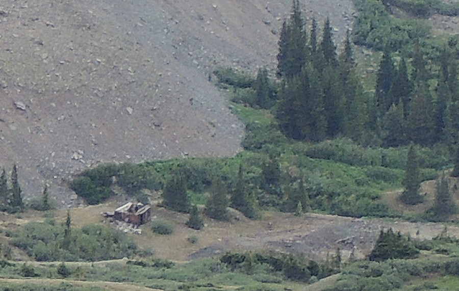
| The tan fan on the mountainside - this with
some wooden structures falling apart. Two pictures up, this is right of center in the picture. |
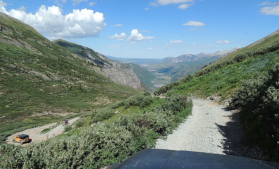
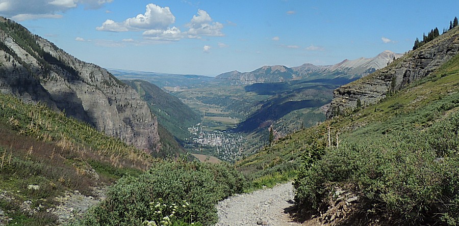
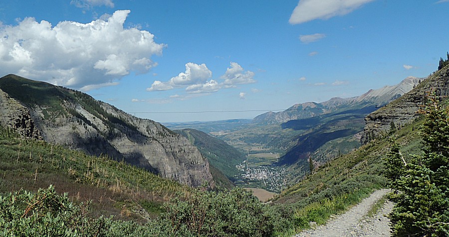
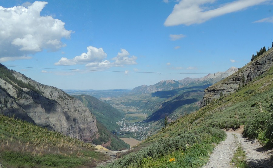
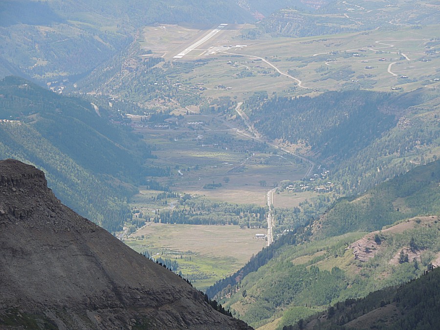
| Telluride at the bottom, near, with the
airport more distant. |
| Cables still hang above - moving ore from
mines up in the hills to the mills lower down - or perhaps over the
ridge to Tomboy??? |
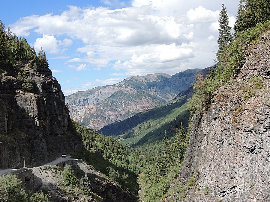
| At
/ near the spot where Black Bear gets its reputation of a trail where
one needs to mind their P's & Q's. No passenger side photos here. |
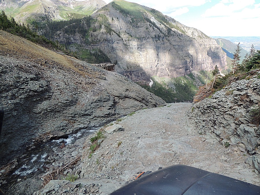
| Down at the first switchback. |
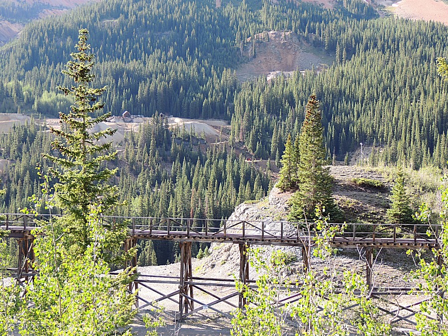
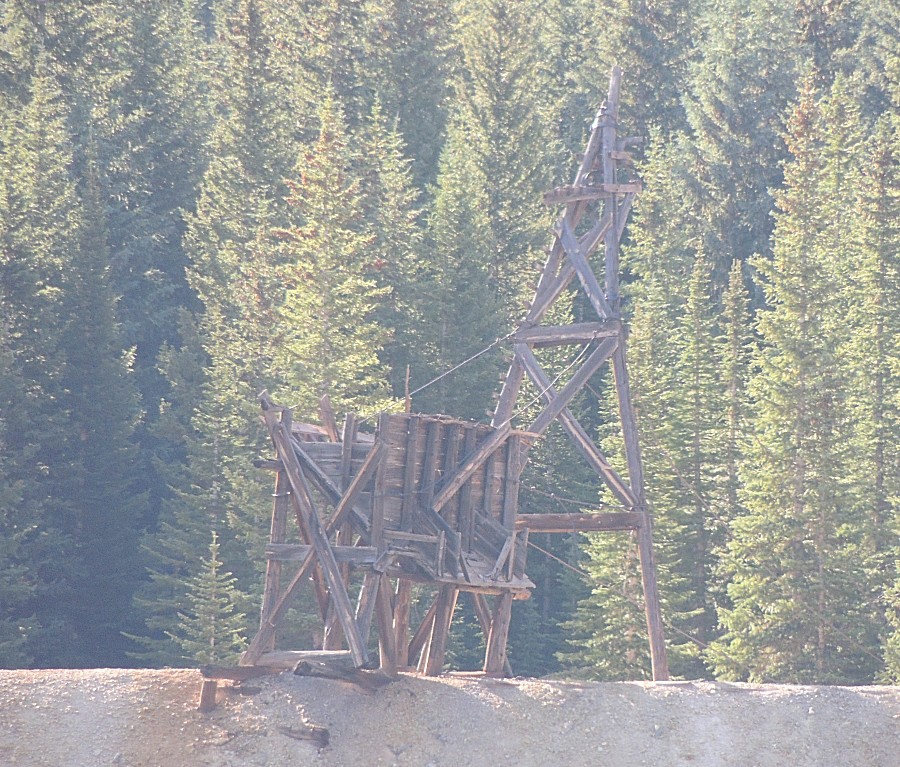
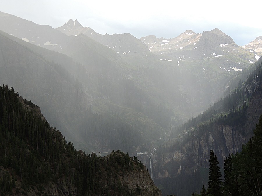
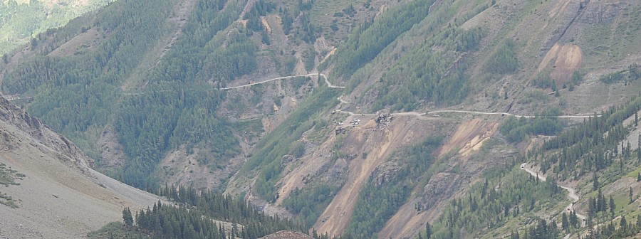
| A first view of the powerhouse |
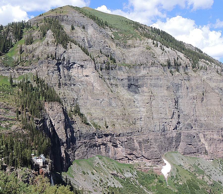
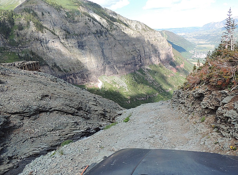
| A highly photographed structure |
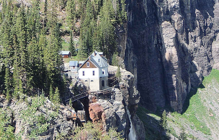
| and I'll keep up the click count. |
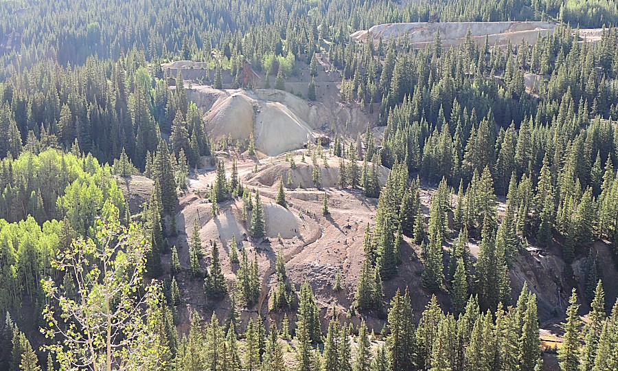
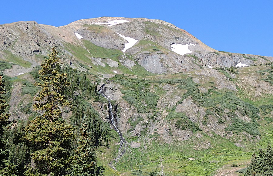
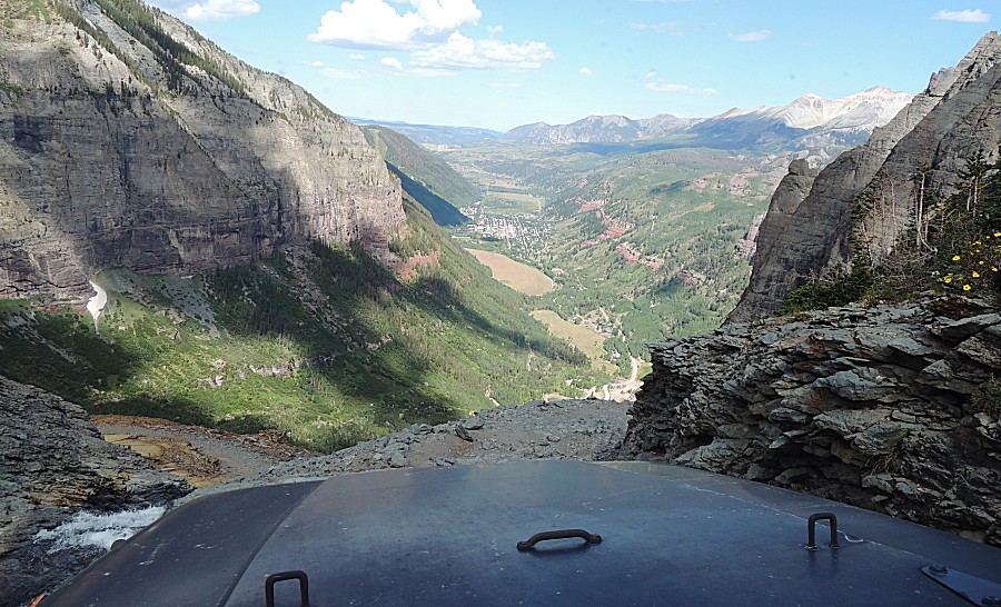
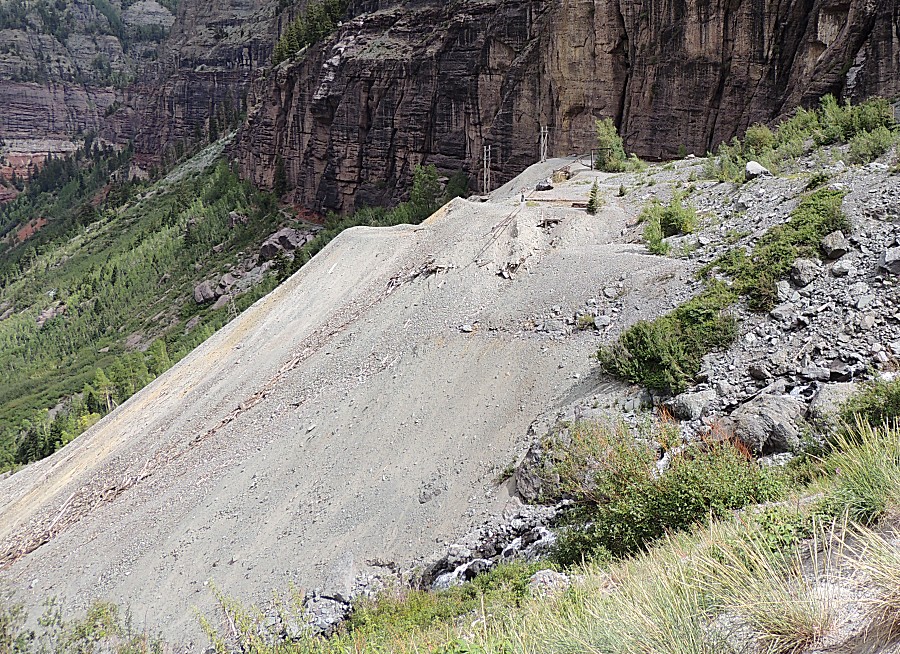
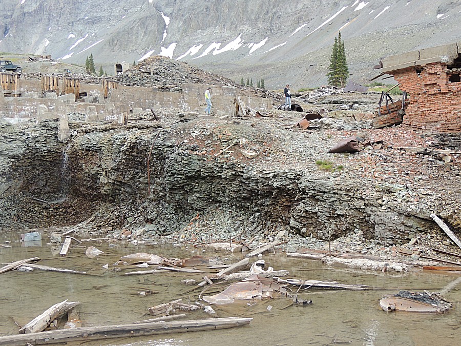
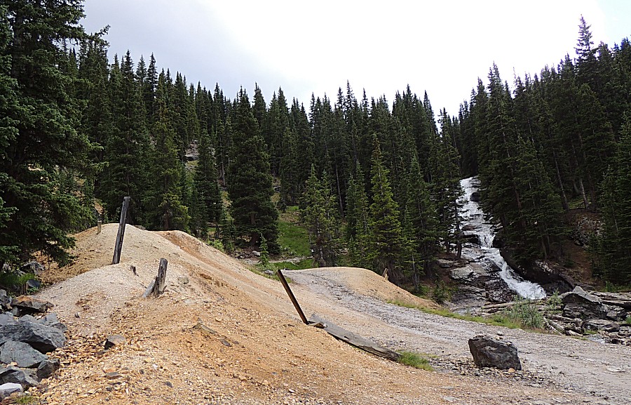
| A large tailings pile - a lot of work. |
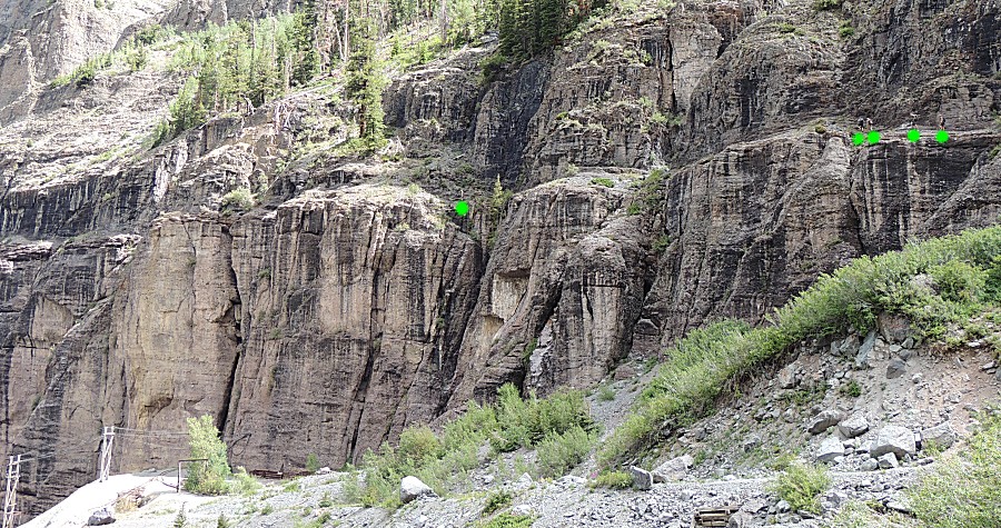
| See the people out for a walk on a mountain
path? The first person (at the left) is looking to rock climb. |
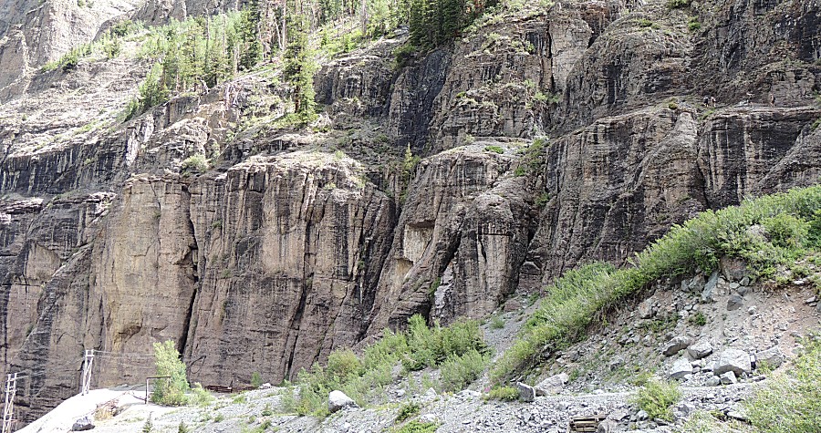
| Some green dots to highlight the people. |
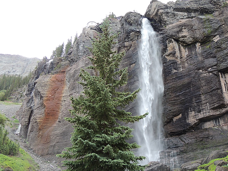
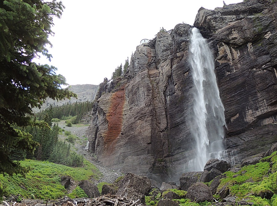
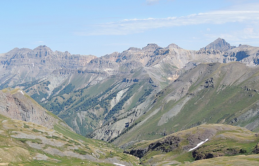
| Looking across the valley to the Black Bear
switchbacks, the powerhouse, and bridal veil falls. |
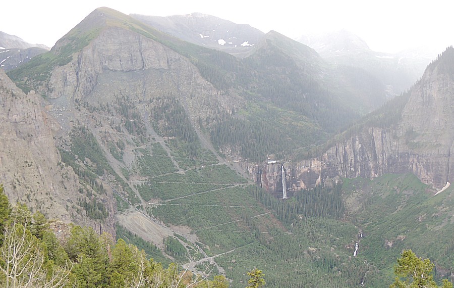
| Rain visible "over there" |
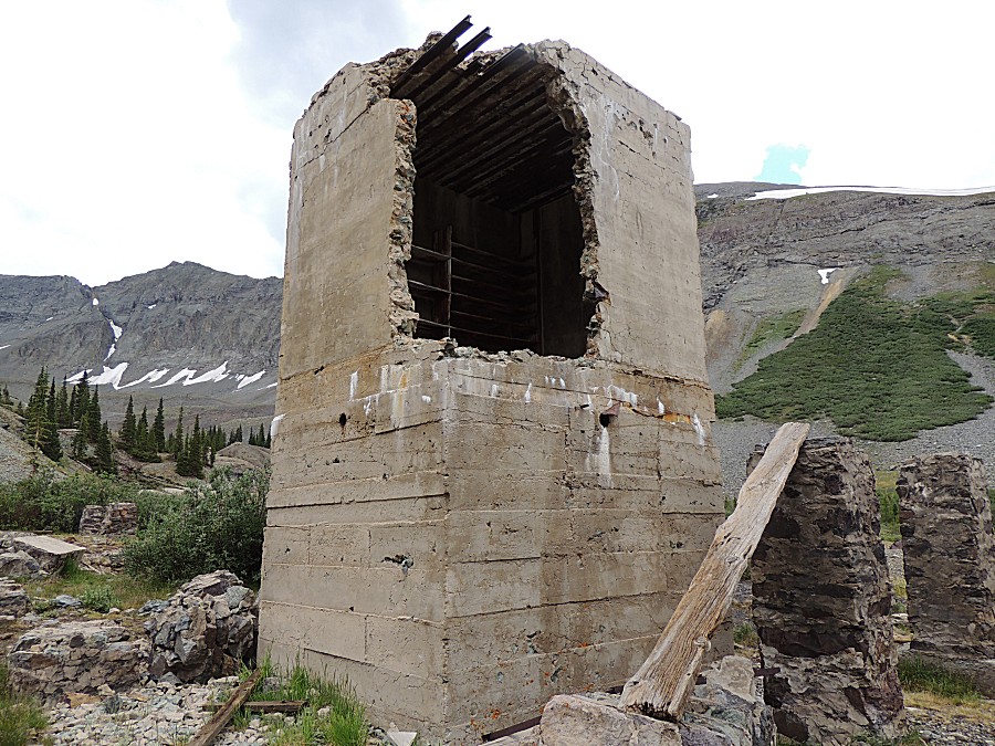
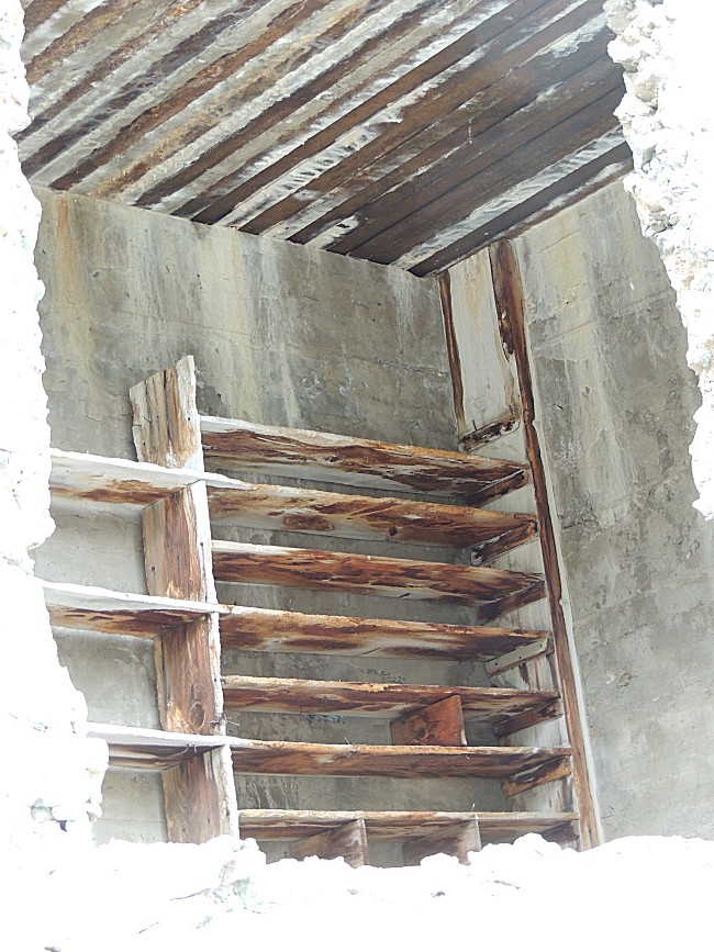
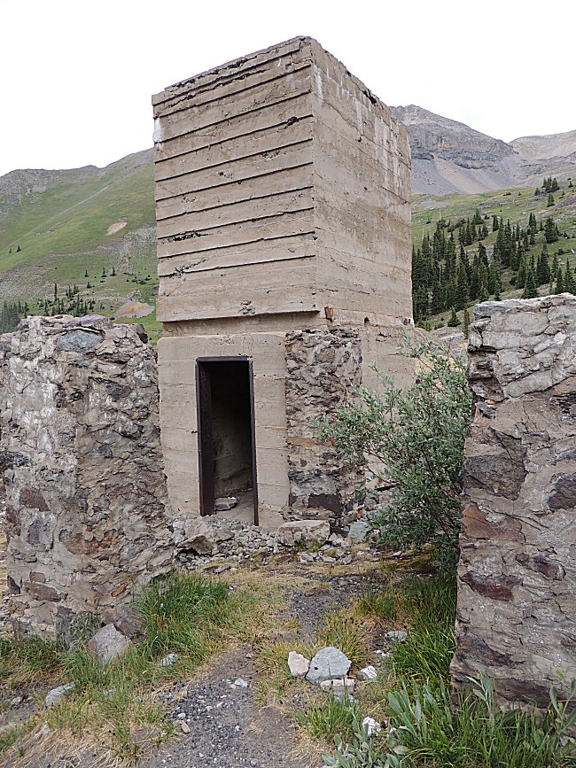
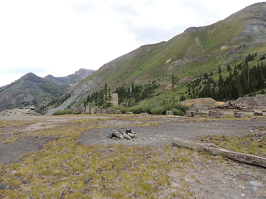
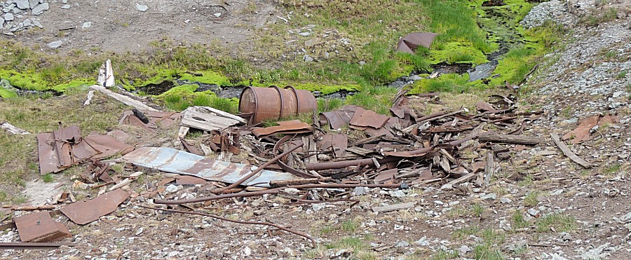
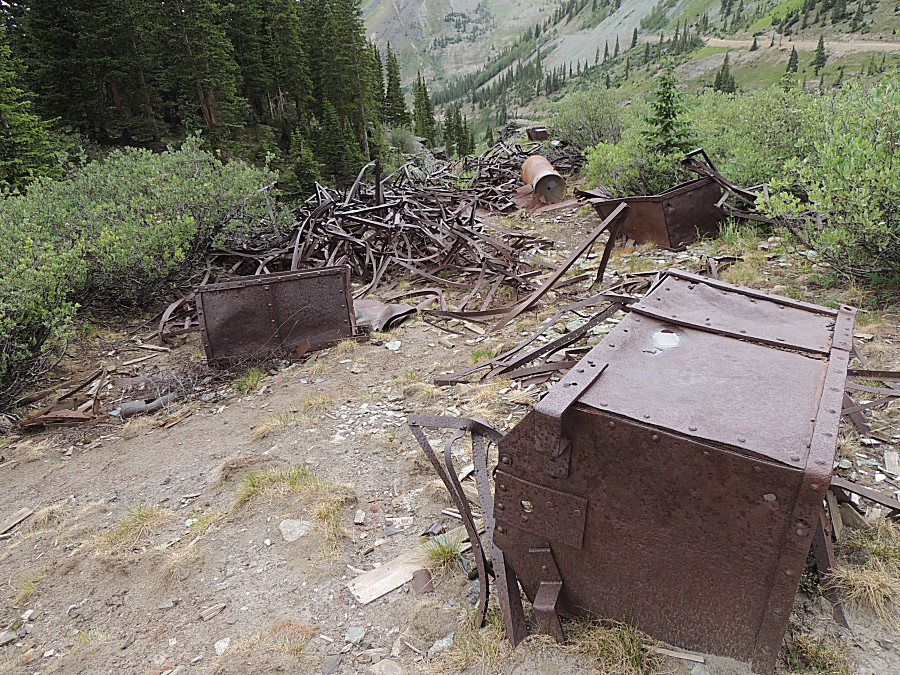
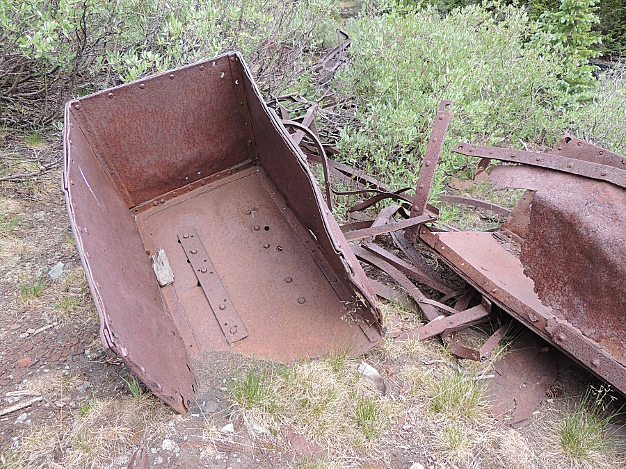
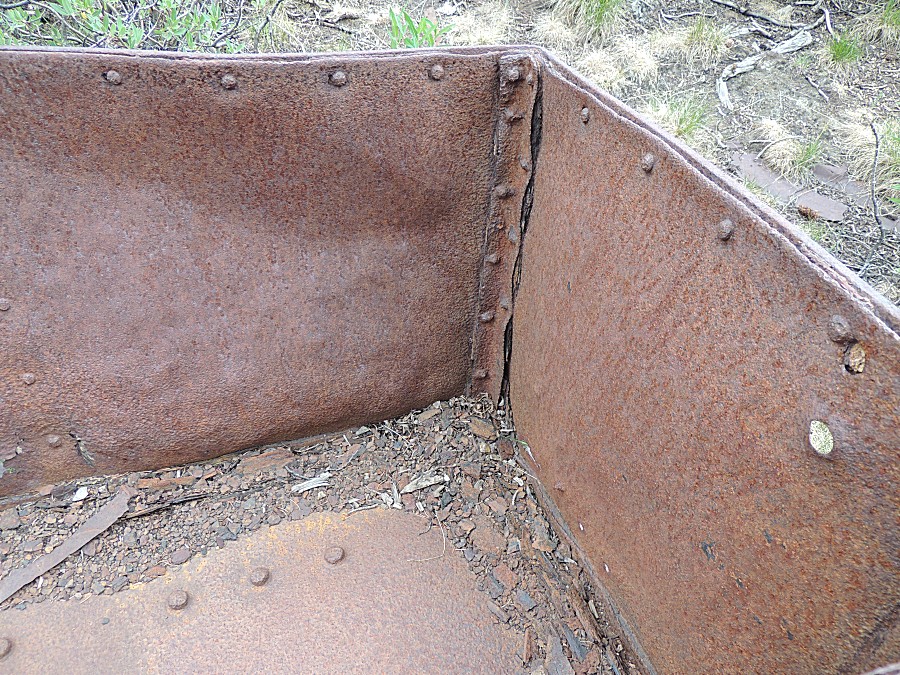
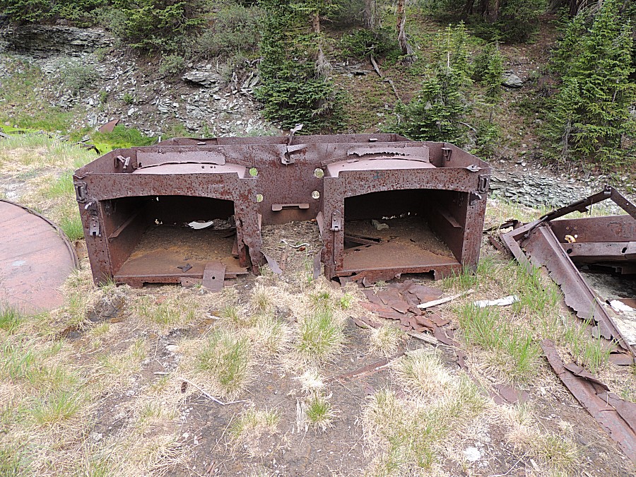
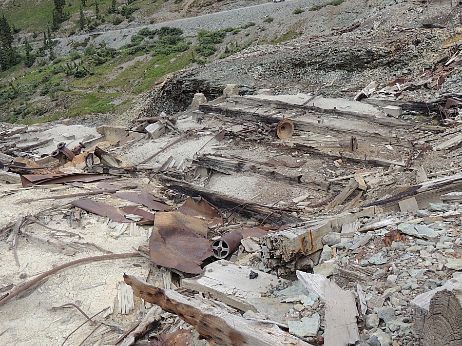
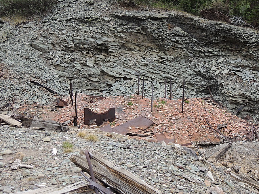
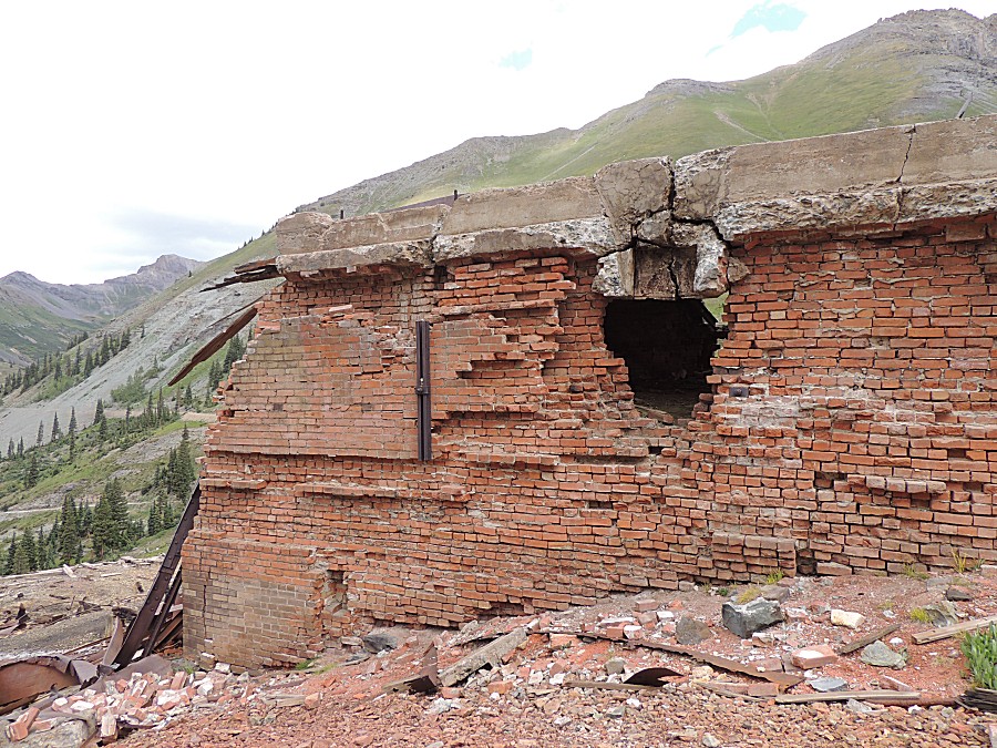
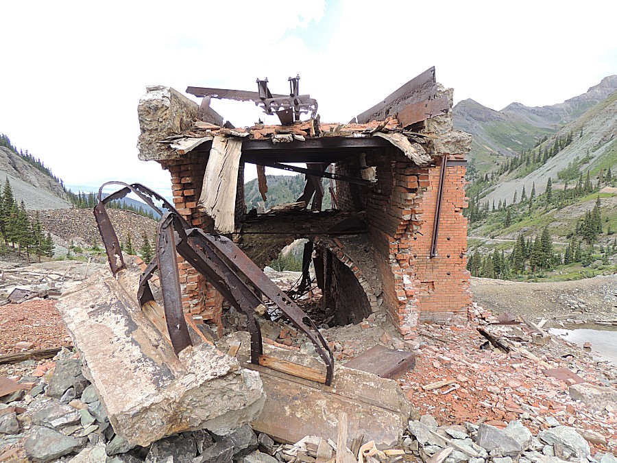
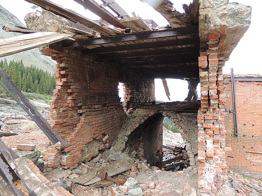
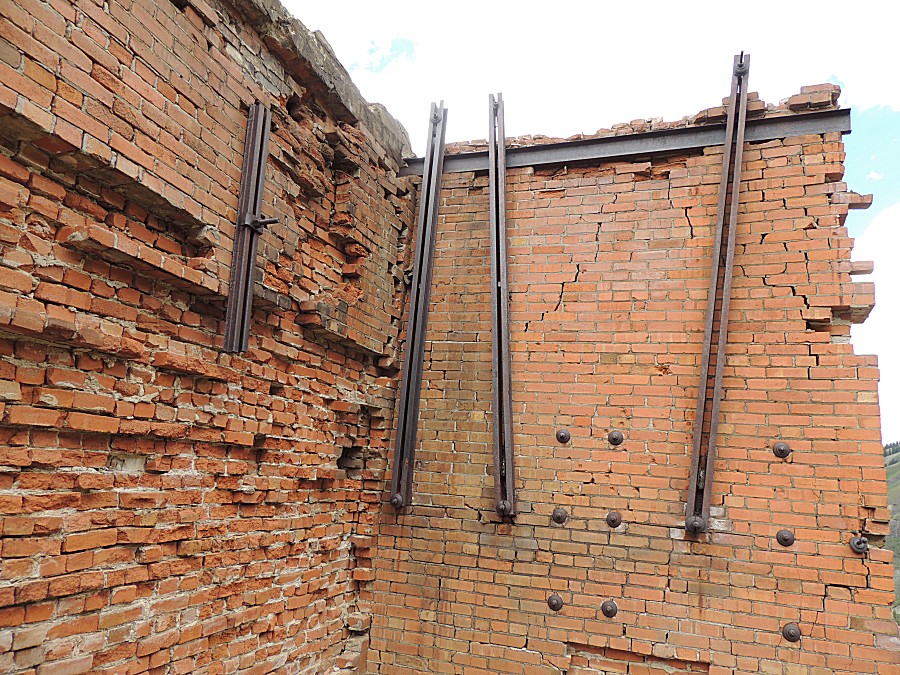
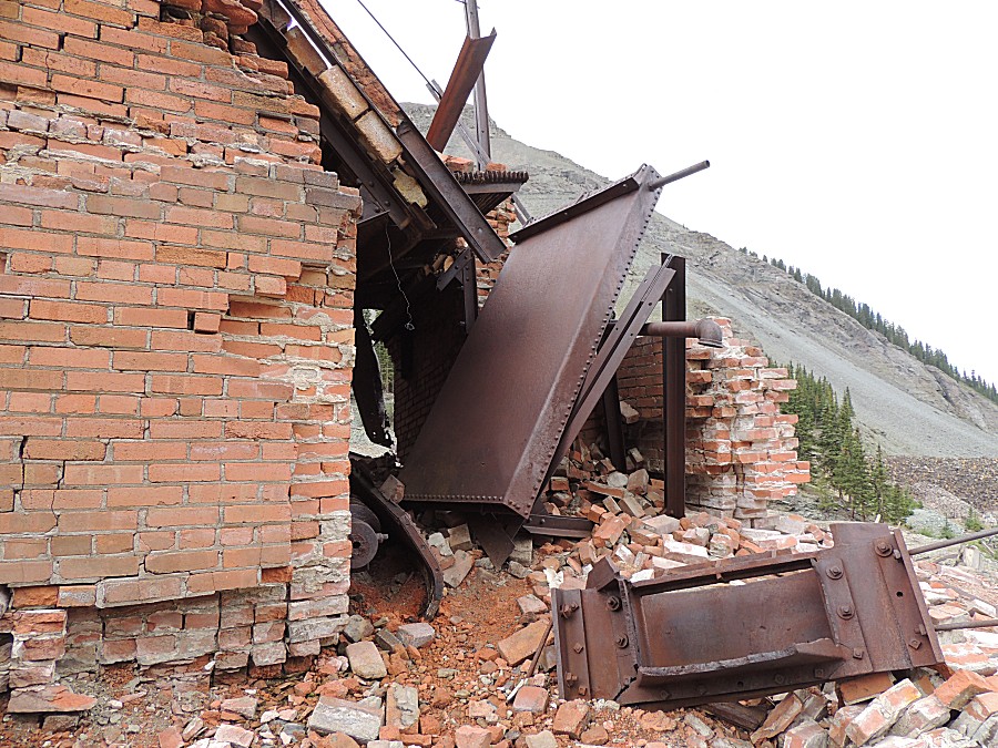
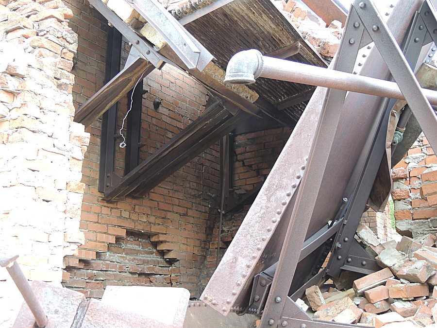
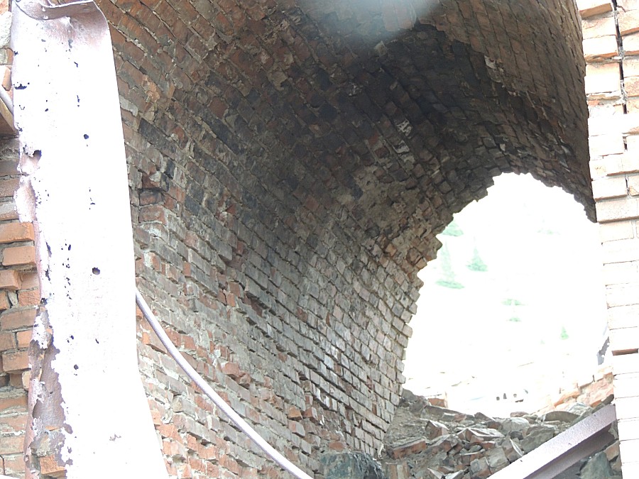
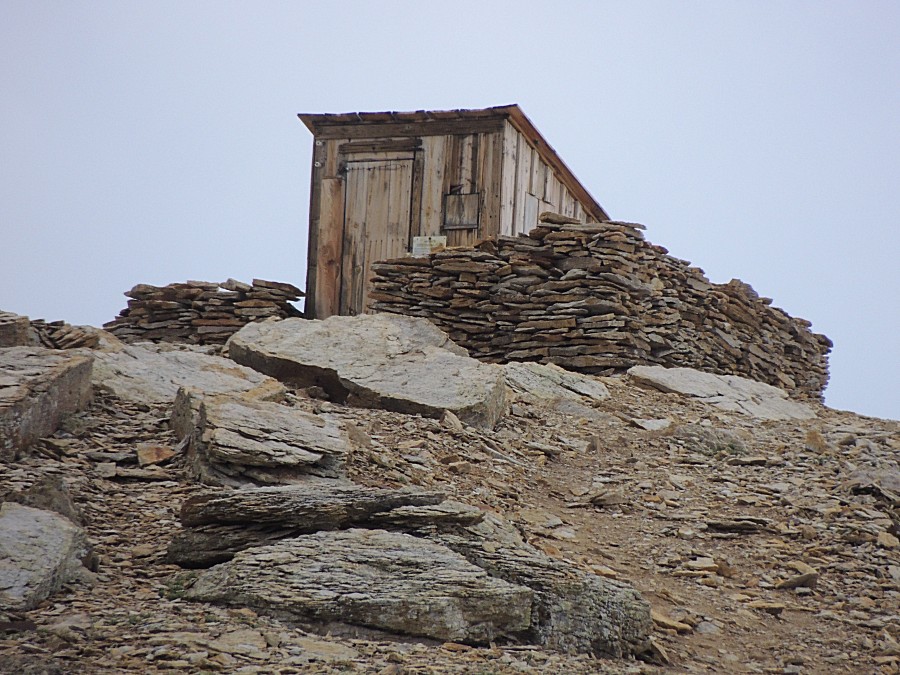
| Up at Tomboy townsite |
| What
was stored here? The wooden building around it is long gone but the
foundation remains.
This has two levels. There is no connection between the levels. The
doorway to the upper level must have been at this open area. The roof
was created using railroad rail for strength. The bottom level has one
doorway of its own. Items of value were stored here - gold and silver, sure. What about explosives? Would they be kept locked up? |
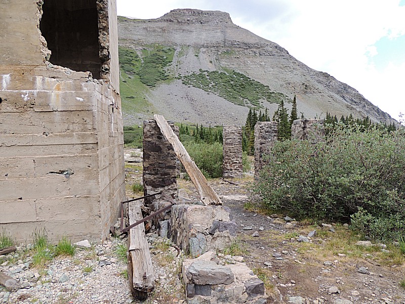
| Lower level doorway with a steel frame |
| We wanted to visit this other valley, we had
some time, but there was a locked gate on the access road. |
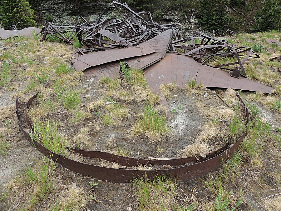
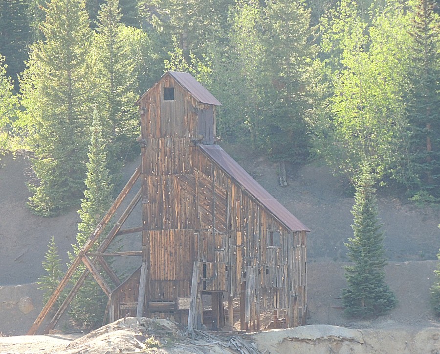
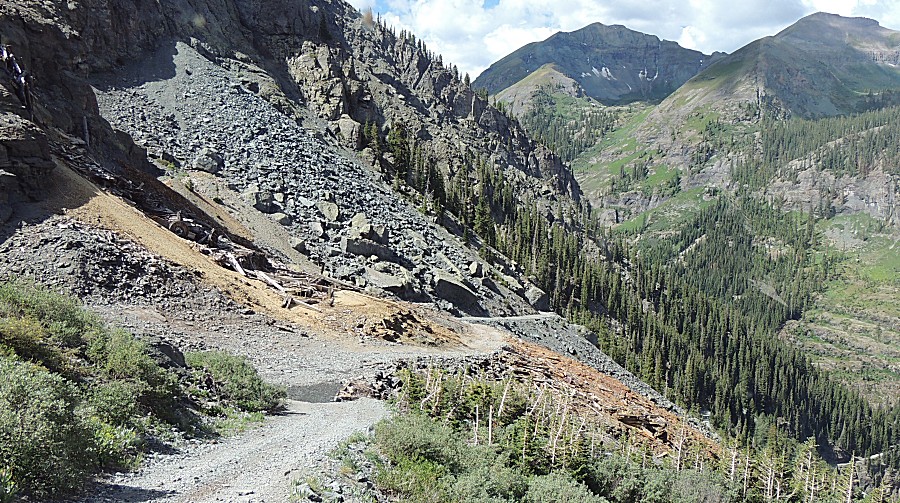
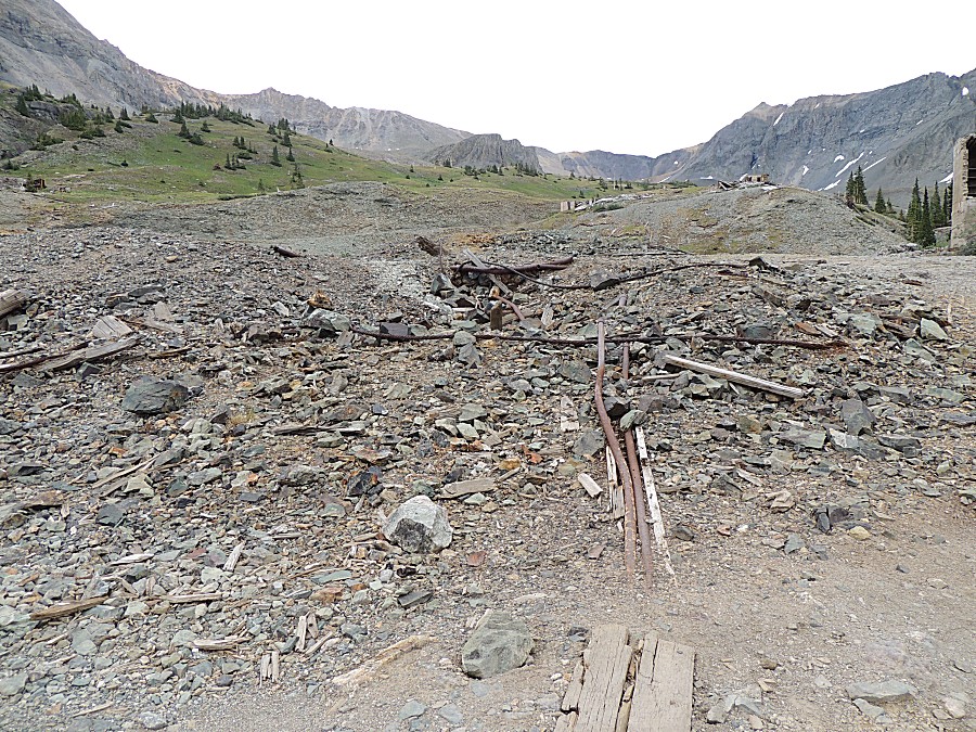
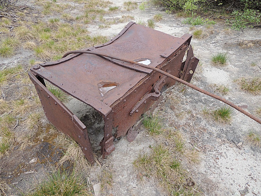
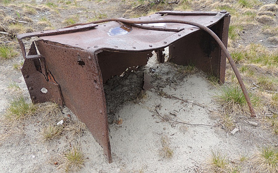
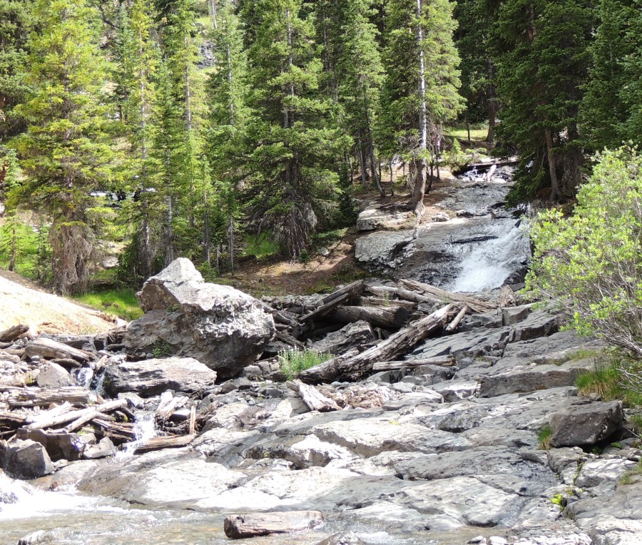
| The effort to haul the timbers, machinery, and
concrete up to then begin building the structures. Impressive. |
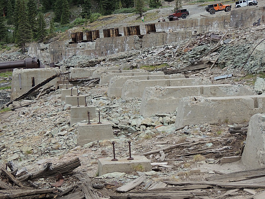
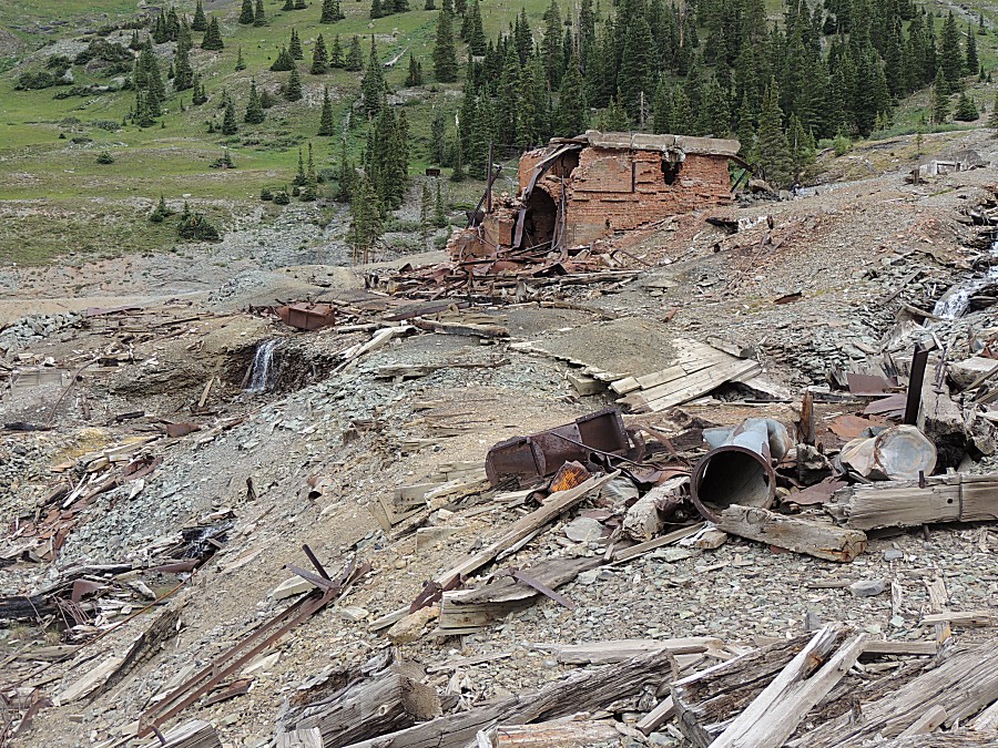
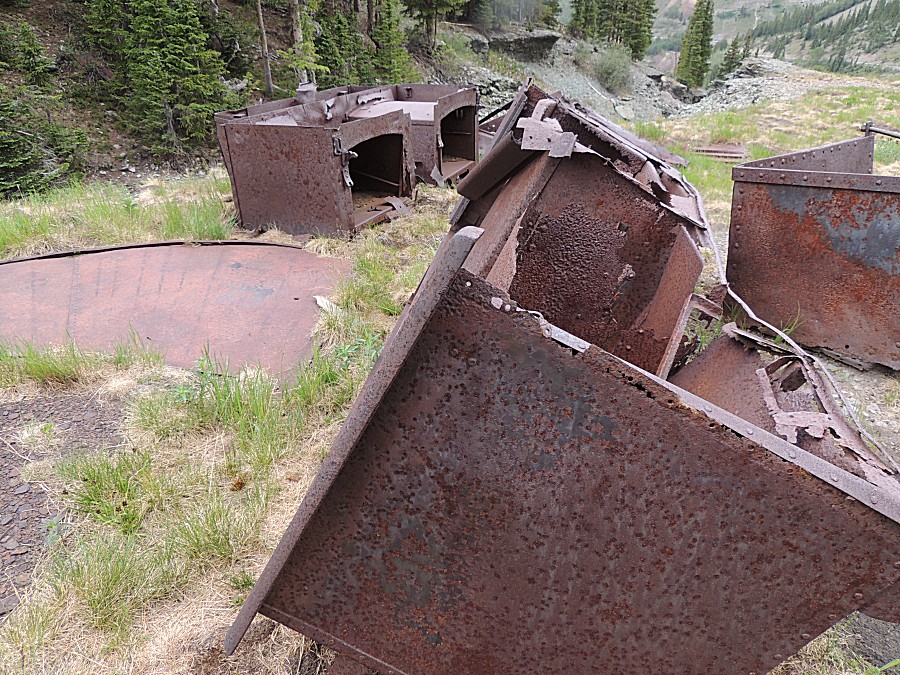
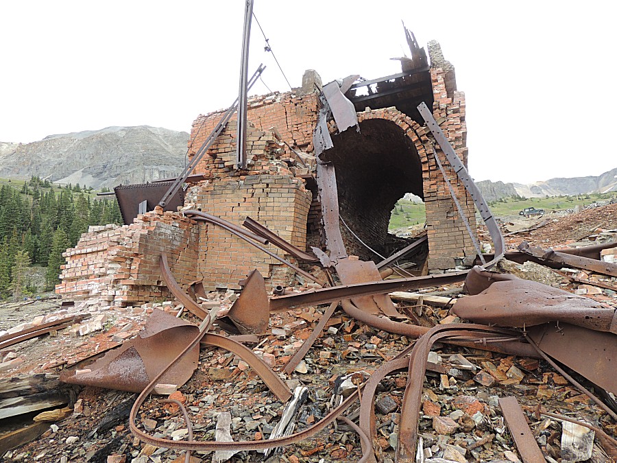
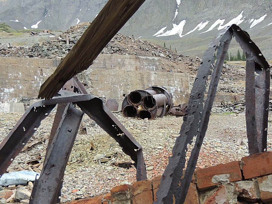
| This looks to have been a one or two boiler
building. |
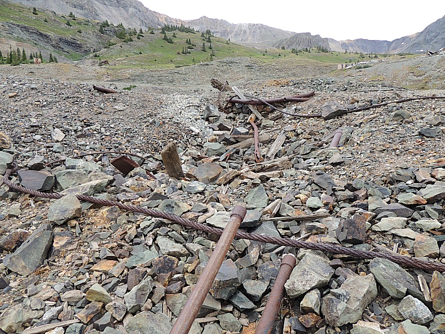
| Then there was this other building - more
boilers |
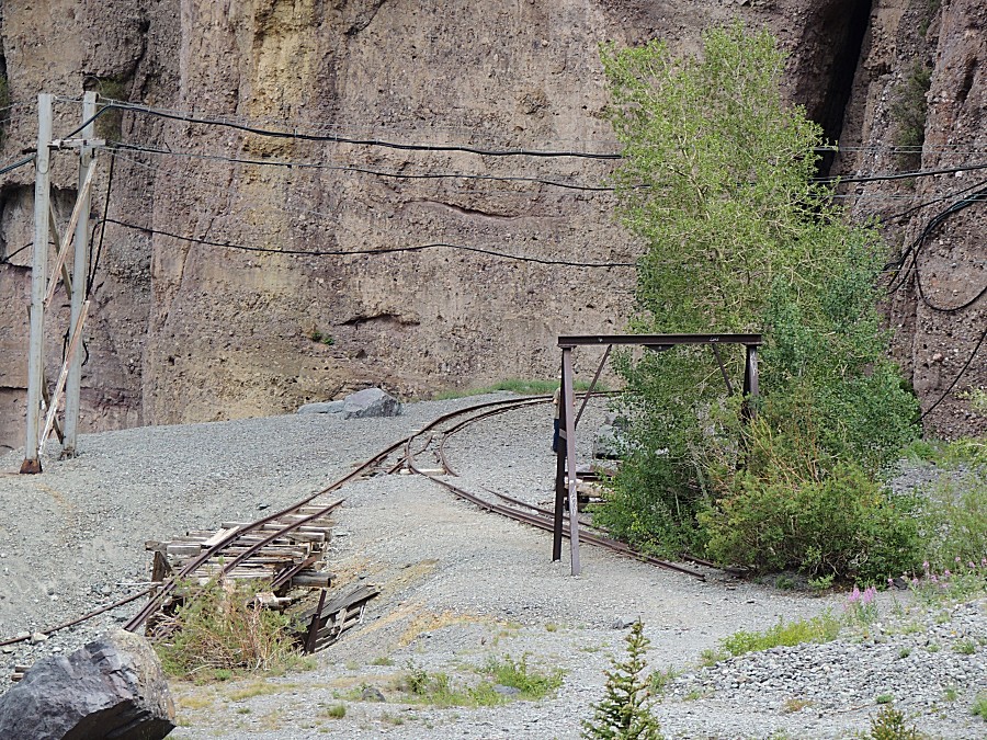
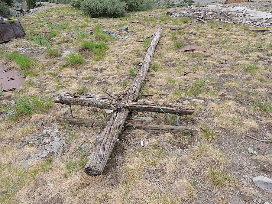
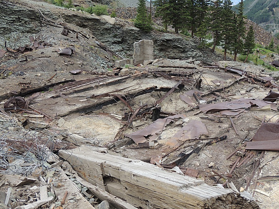
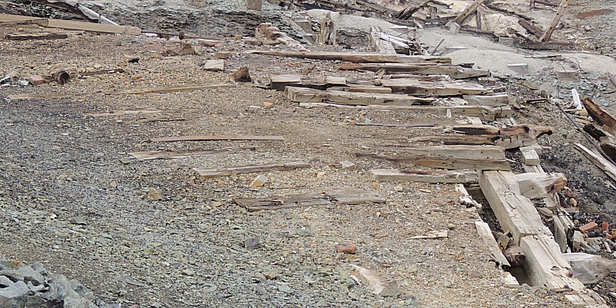
| Railroad ties - just after a switch / Y |
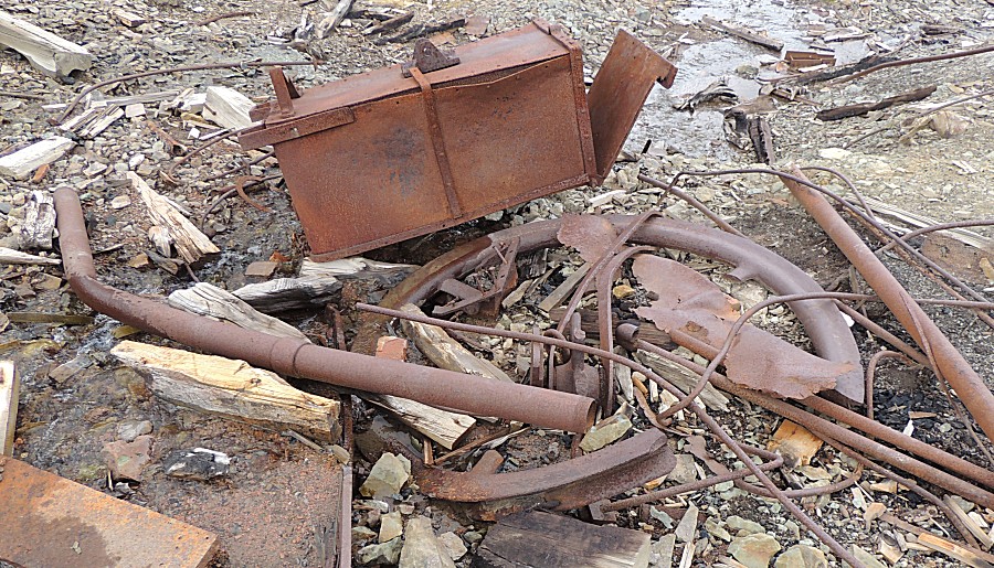
| A four foot diameter wheel for a cable. |
| The center hub of the wheel is still here. |
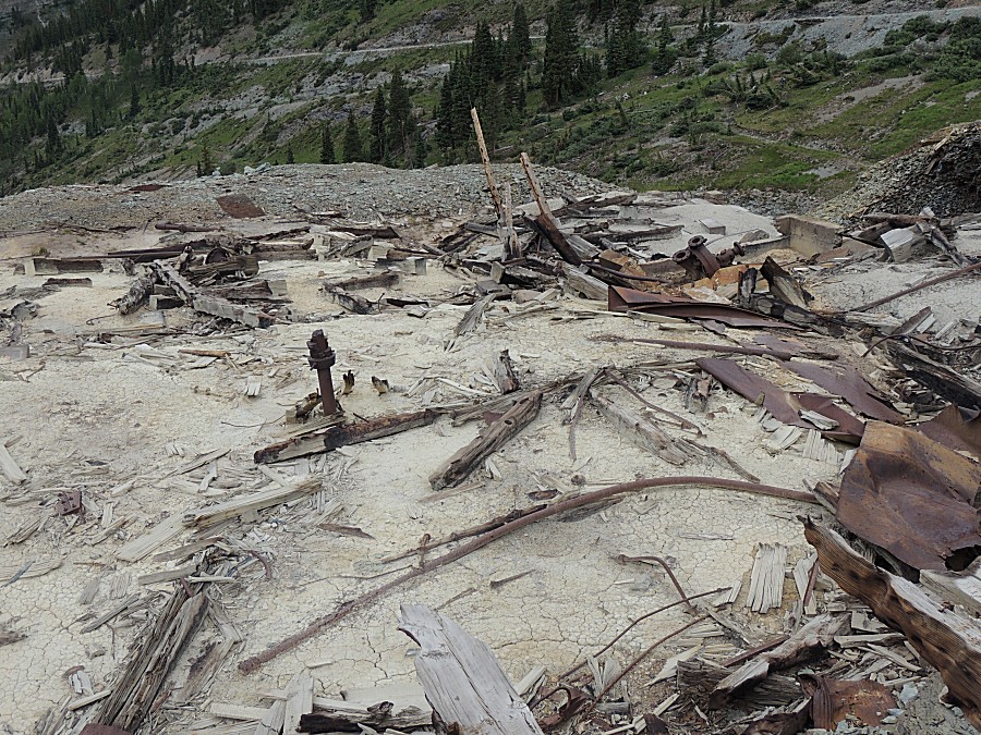
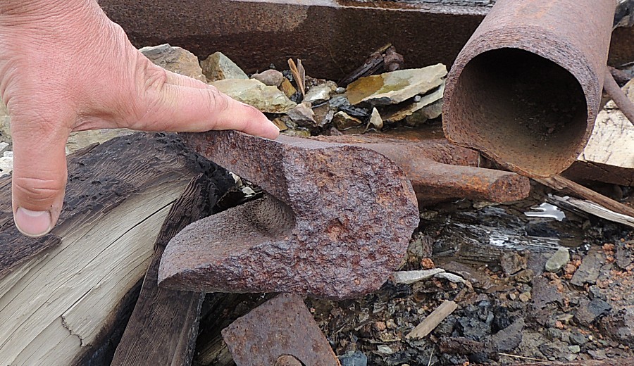
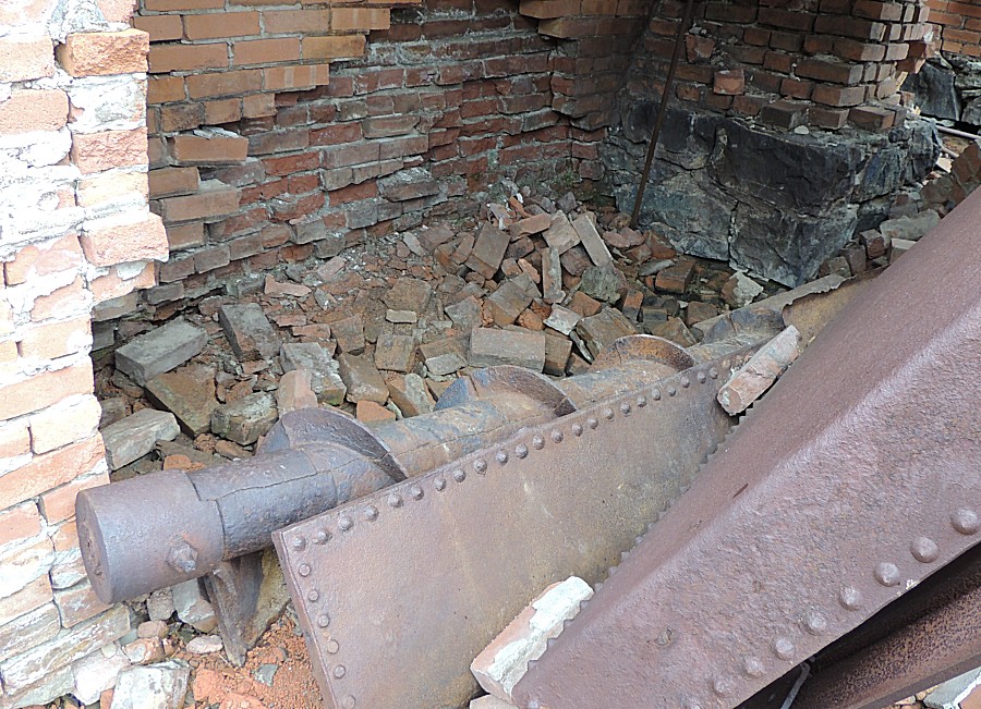
| Might this be an auger to push fuel into a
firebox? Coal perhaps? |
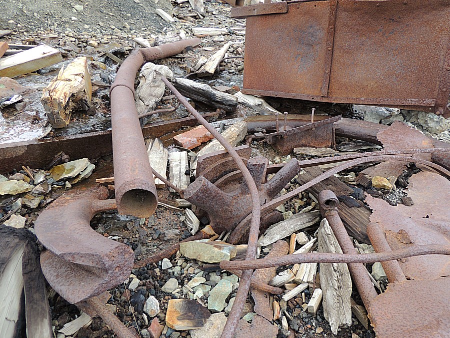
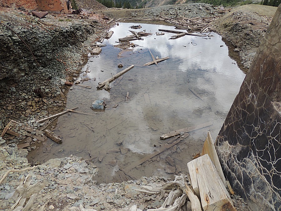
| I can't figure out what this rectangular area
is for - might it have been a water pool for the nearby boiler? |
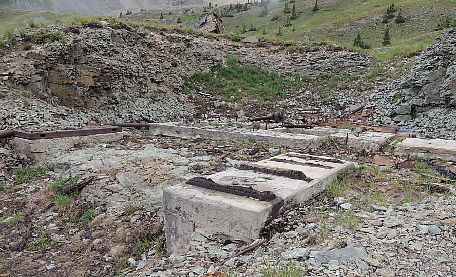
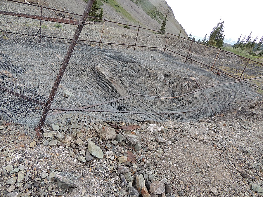
| Hmmm - fenced off depression - a mine shaft
that's not fully stable and sealed. Footings near the depression - perhaps a headlift |
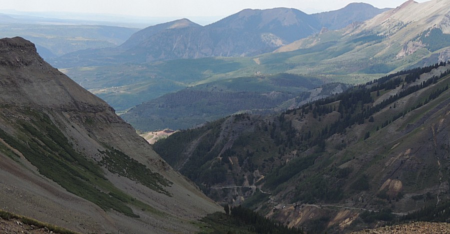
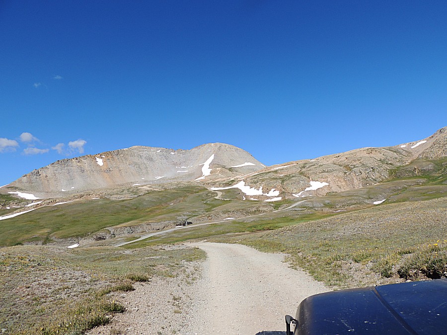
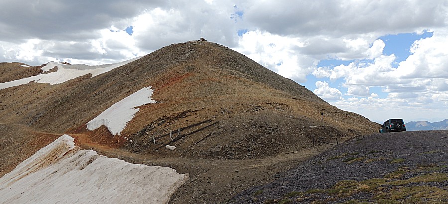
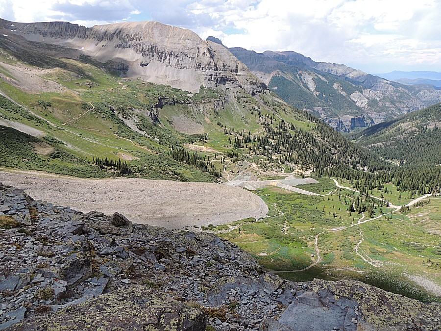
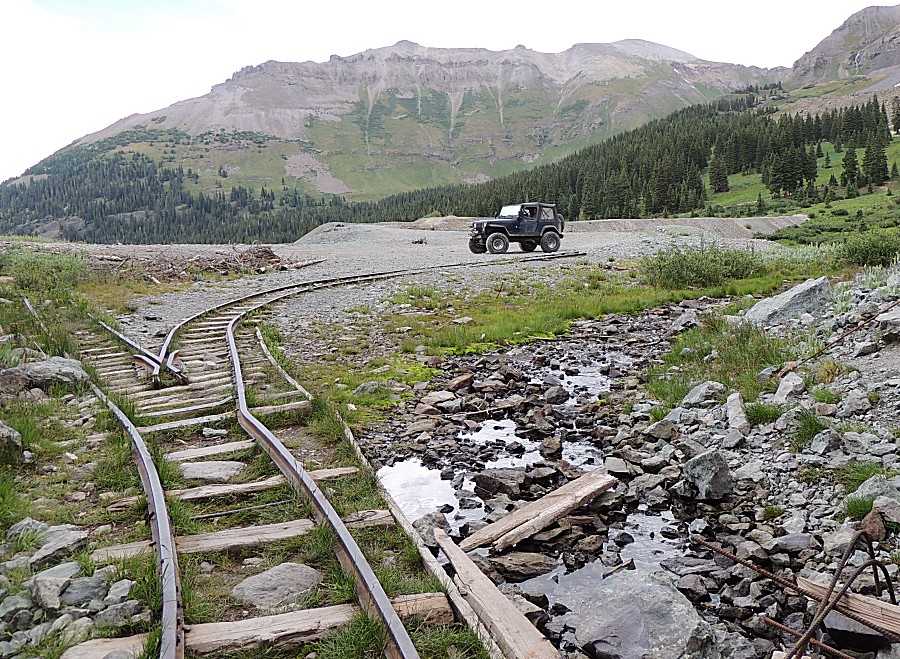
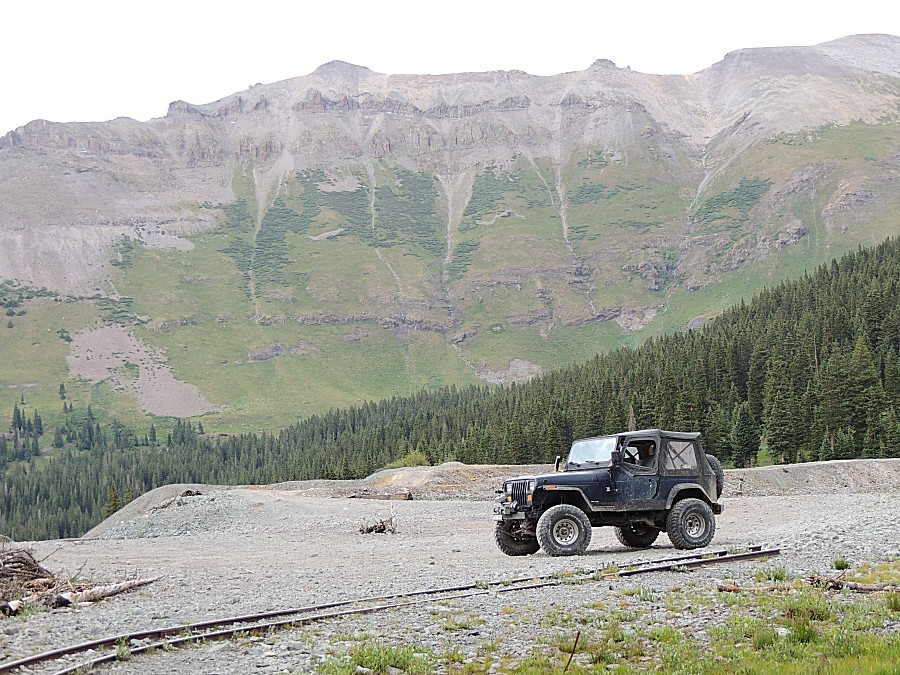
| We have left the townsite and are heading up
towards Imogene Pass |

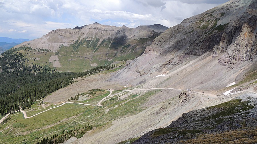
| The road we came up |
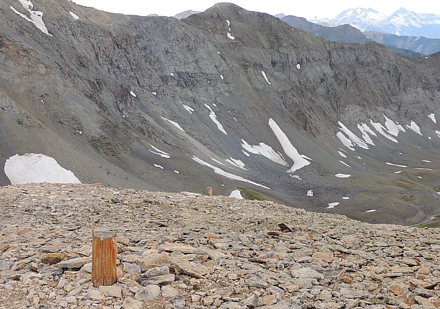
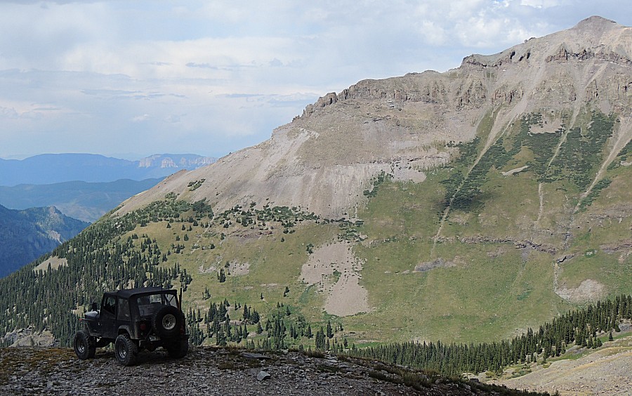
| Up top |
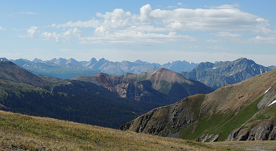
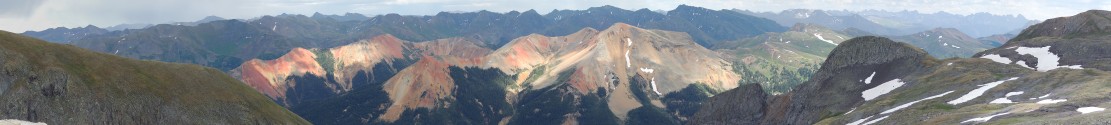
| Near the pass is an overlook area that has
nice easterly views |
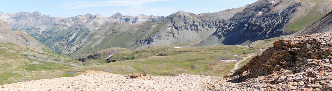
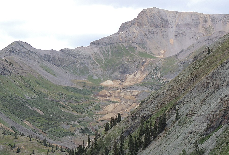
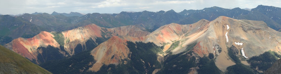
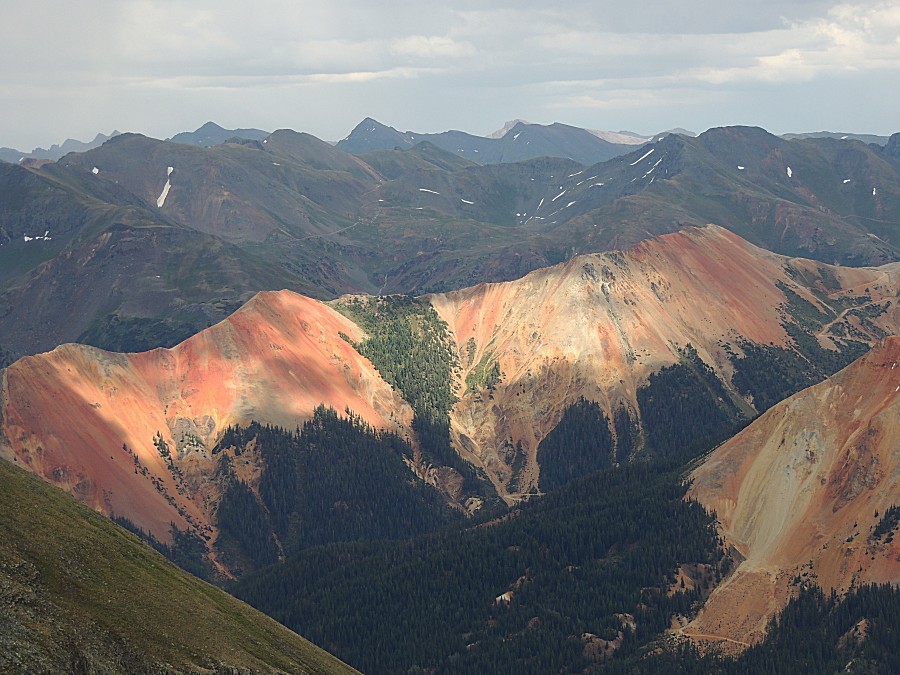
| So let's make a nice panorama picture! The clouds will treat us to nice lighting of the Red Mountains Panorama Click for a MUCH larger size |
| This panorama is made from the same images as
the above - though it focuses to the Red Mountains Panorama Click for a larger size |
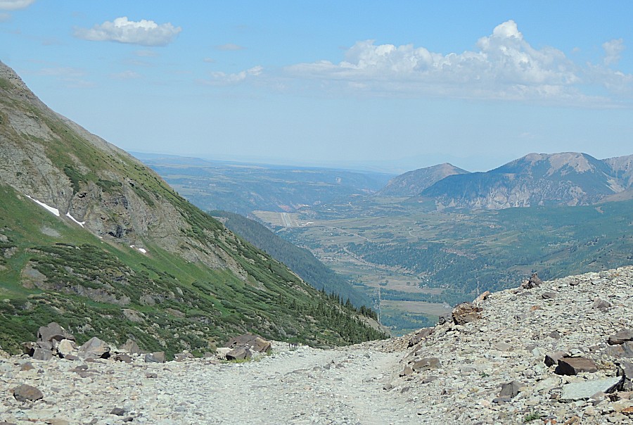
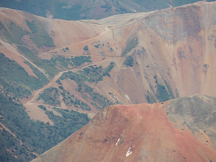
| See the zig-zag to the far right - we came
down that yesterday afternoon. |
| A bit closer view of it Corkscrew Pass |
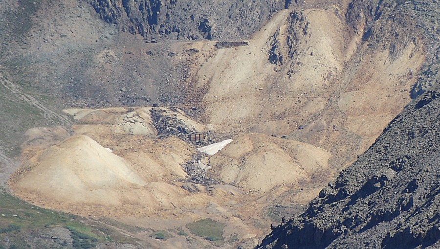
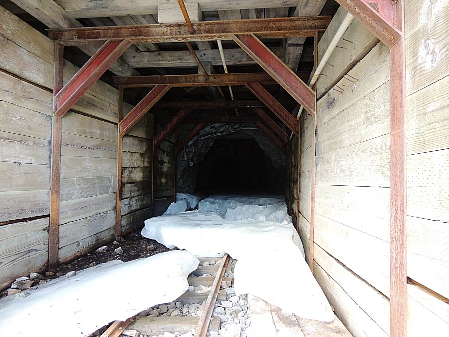
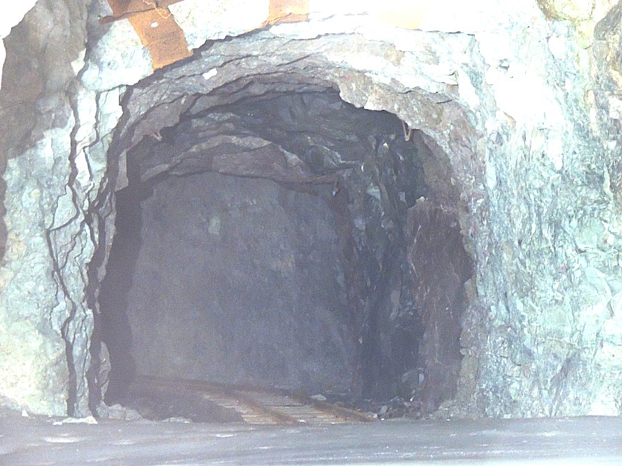
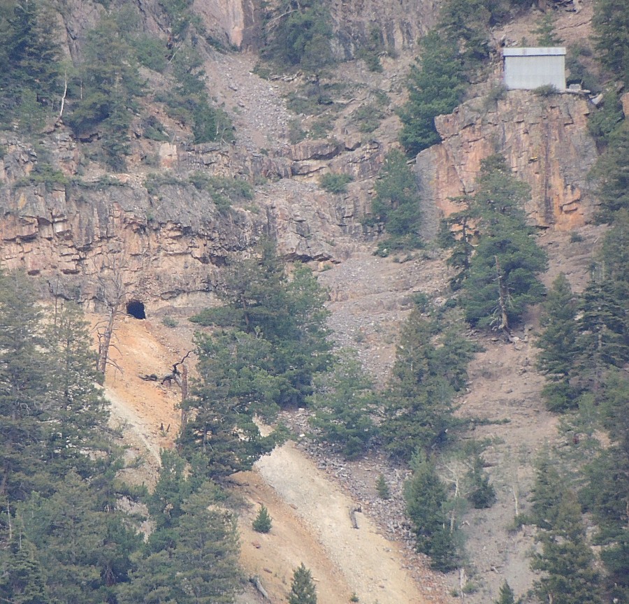
| Upper Camp Bird Mine - we'll make a visit and
peek into an adit |
| Looking into the Upper Camp Bird mine |
| Down below timberline |
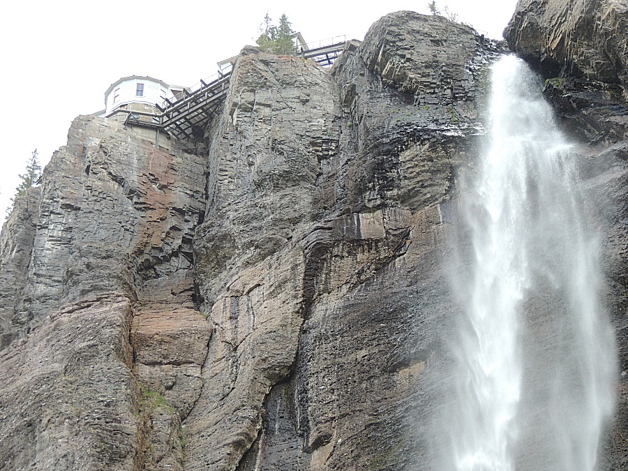
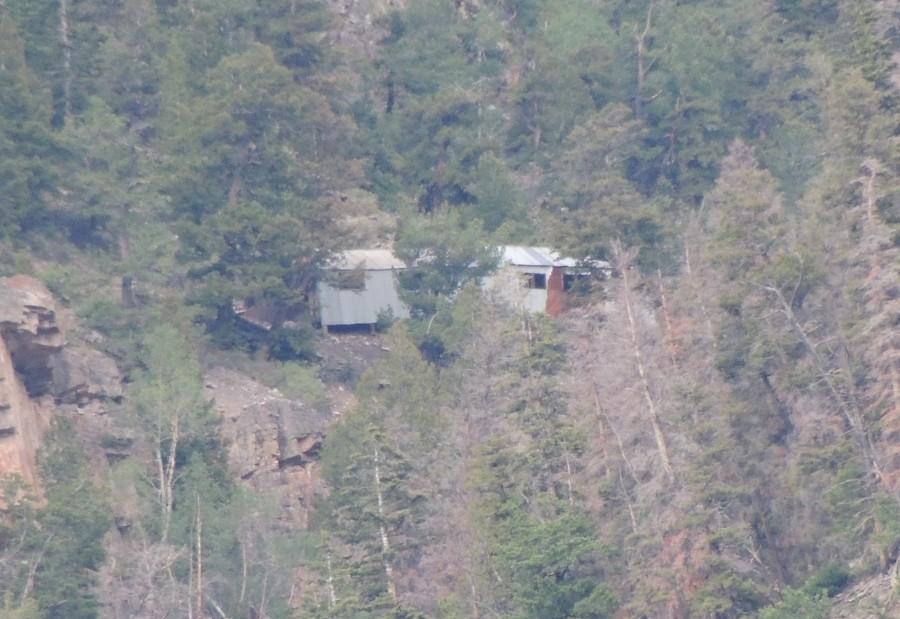
| C
is taking the Box Canyon falls walk. I noticed some white structures on
the mountainside across the valley (up / east from Ouray). Chief Ouray
mine. |
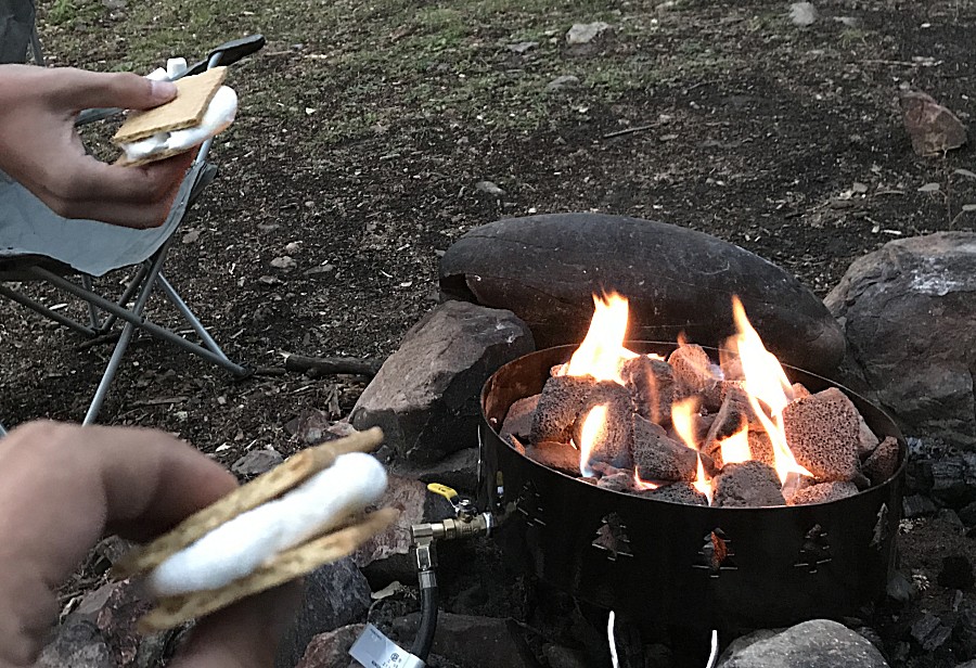
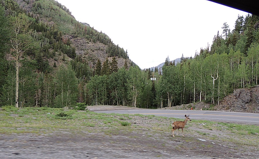
| Heading back to camp (and it's already set up!) |
| General fire ban in effect for wood / charcoal
fires. Cooking devices with an on/off switch are allowed. About the best we can do to substitute the classic wood camptire. |