| You're viewing
the FULL photo set for
Day 3's photos (192 photos). If you wish to switch to the HIGHLIGHTS ONLY photo set (113 photos), click here. |
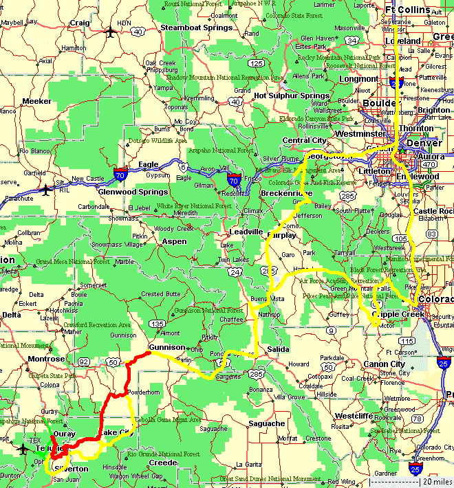
C to C 2020
Day 3 - Tuesday, July 14, 2020
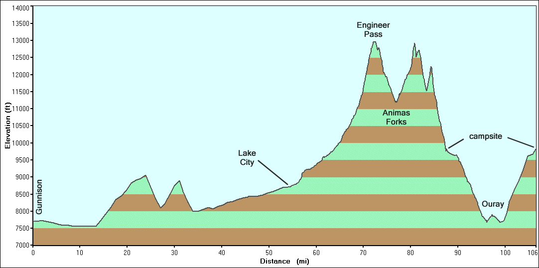
Engineer Pass & Animas Forks townsite
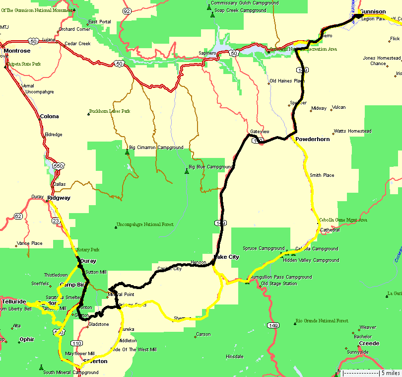
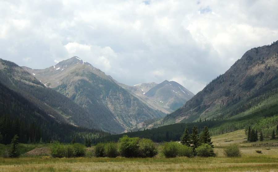
| Day
3 (red line) - We'll start at the motel in Gunnison, trek down to
Lake City and head west up-n-over Engineer Pass with a nice stop at the
Ute-Ulay mine just out of Lake City. Just after Engineer Pass we'll
make the required stop at Odom Point, where lunch was enjoyed. There
was some spitting rain but not too much. Rain showers, off in a
mountain valley, do make for nice photos. After lunch we'll jump down
to the Animas Forks townsite to spend a fair bit of time exploring the
buildings that are standing and the foundations of the buildings long
ago taken down - by either the workers when the town shut down or by
the weather over the years. While you can scroll through the whole page, you may also jump to a specific section: 0) Web page start 1) Engineer Pass start / Ute-Ulay Mine 2) Rose Lime Kiln / Bonanza-Empire Chief 3) Engineer Pass & Odom Point 4) Animas Forks townsite 5) Frisco-Bagley Mill 6) California Pass |
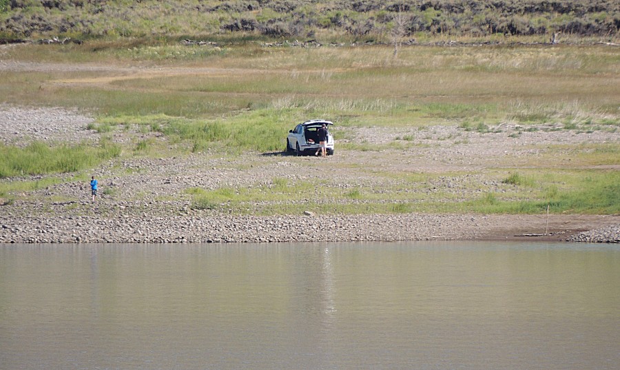
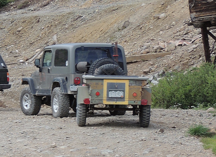
| On
the way out of Gunnison, riding along the Blue Mesa Reservoir, there
was a pull-out where we could snap a picture of our dinner spot of last
evening. The white vehicle is parked right about where the jeep was at
dinner. |
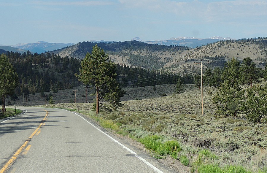
| Snow speckled mountains in the distance -
we're going there! |
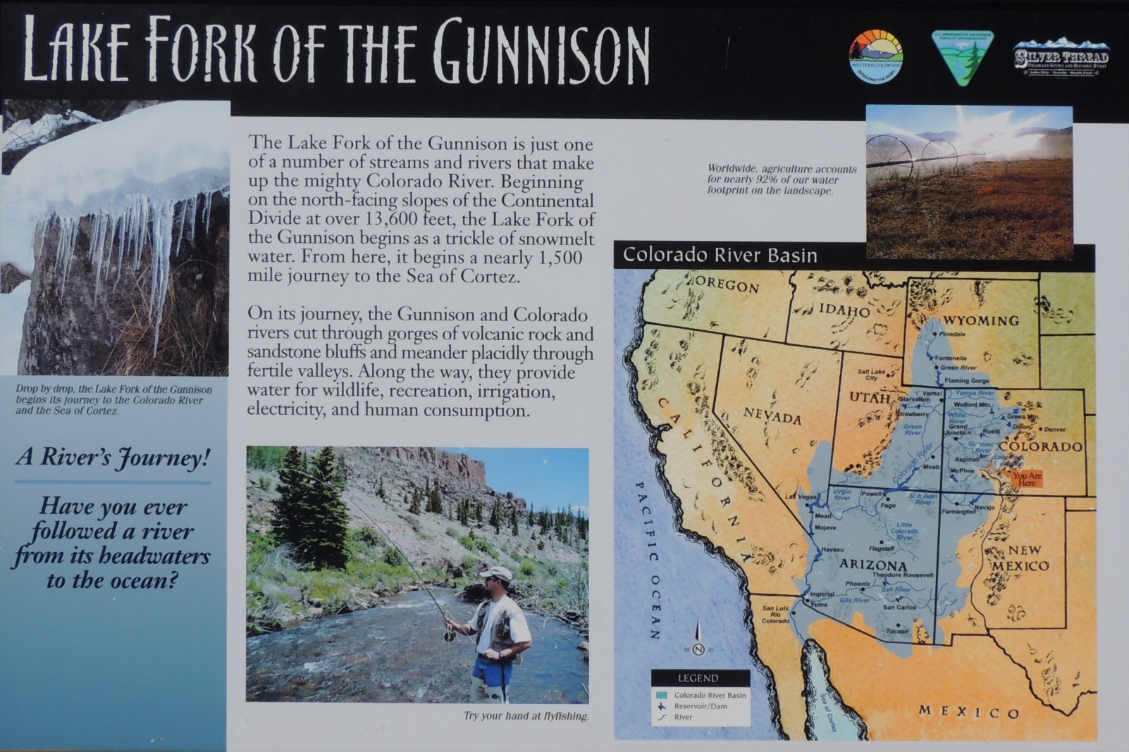
| Info sign Lake Fork of the Gunnison Click the sign for a larger version (back button to return) |
| Welcome to Lake City Colorado |
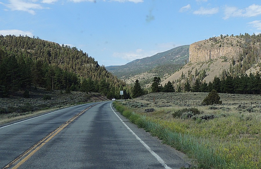
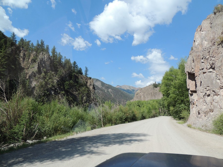
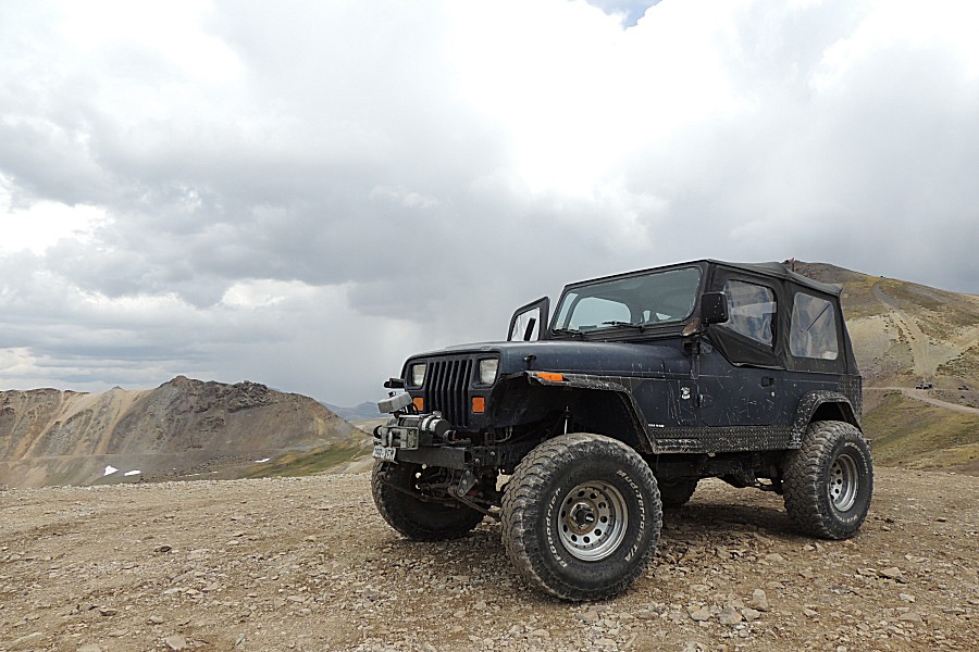
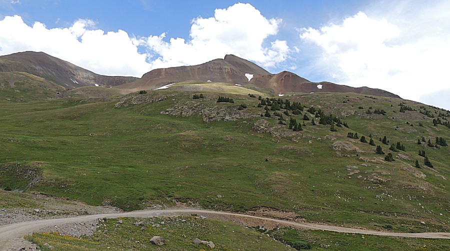
| Head'n
west on the trail (here, a smooth
county road) |
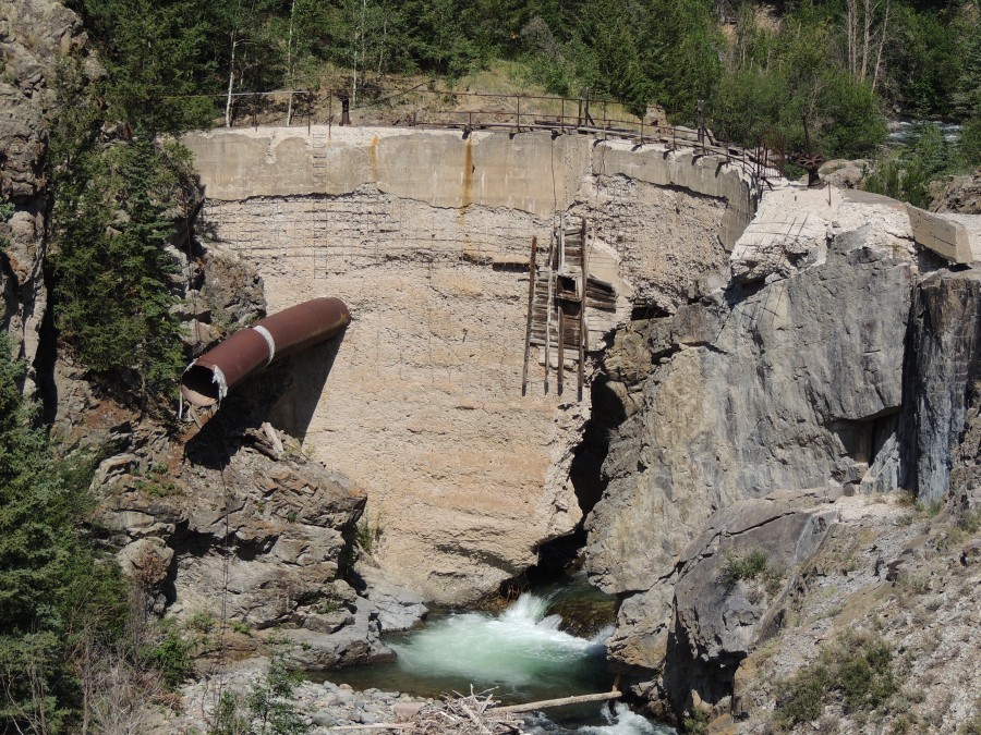
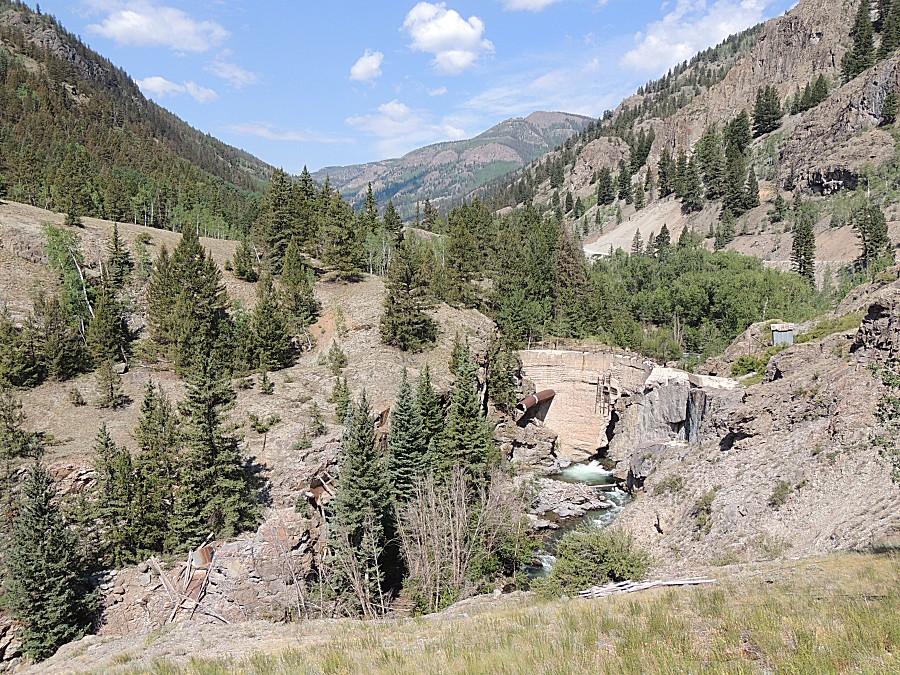
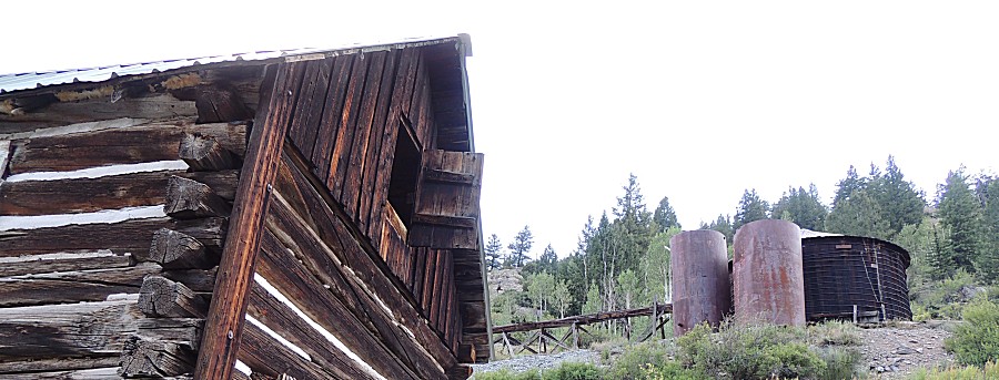
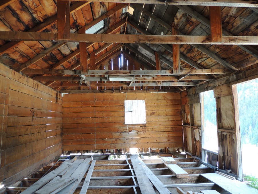
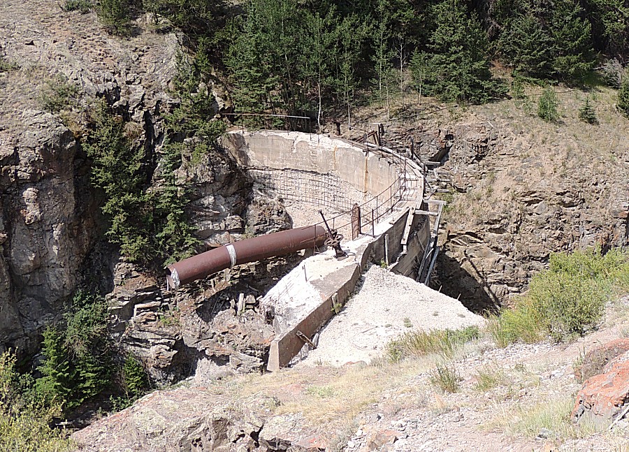
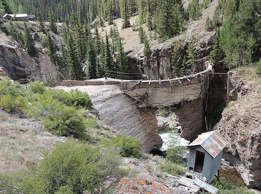
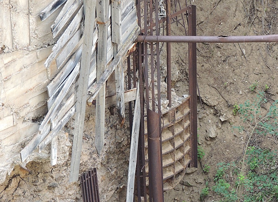
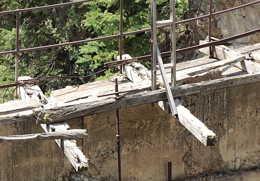
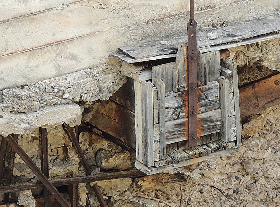
| The broken dam at the Ute-Ulay mine |
| The brick chimney does not sit on the ground /
built-up floor. |
| At the right, just inside of the door, is
likely the stove/oven that was positioned below the brick chimney |
| The other side of the wall (of the above
photos) - chimney |
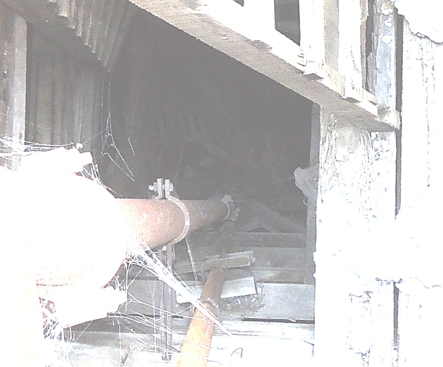
| Let's see if we can peek through the grate... |
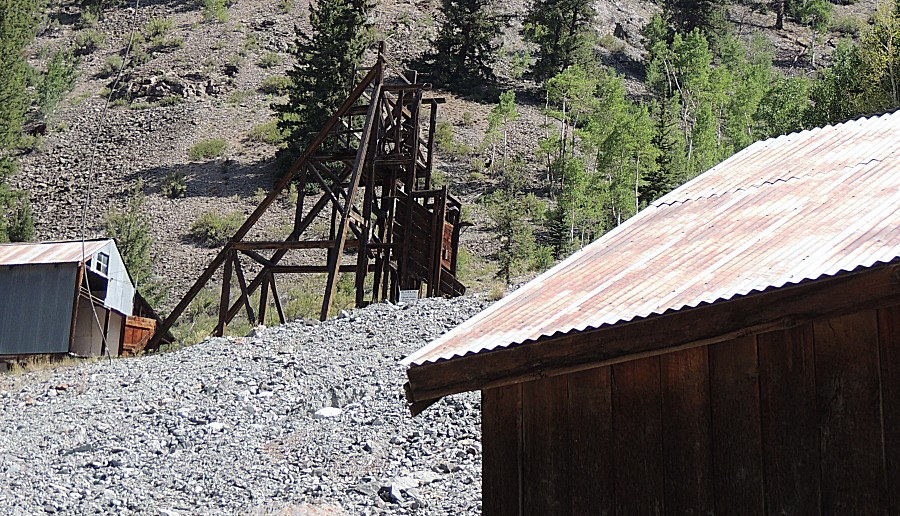
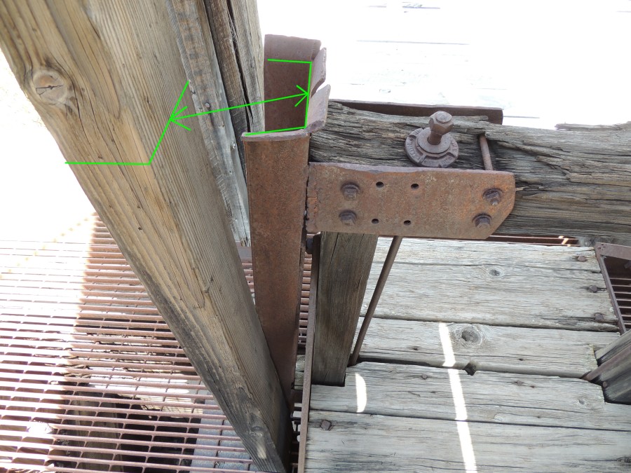
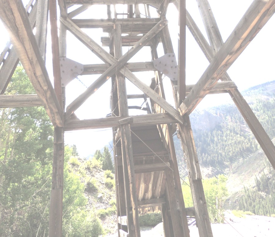
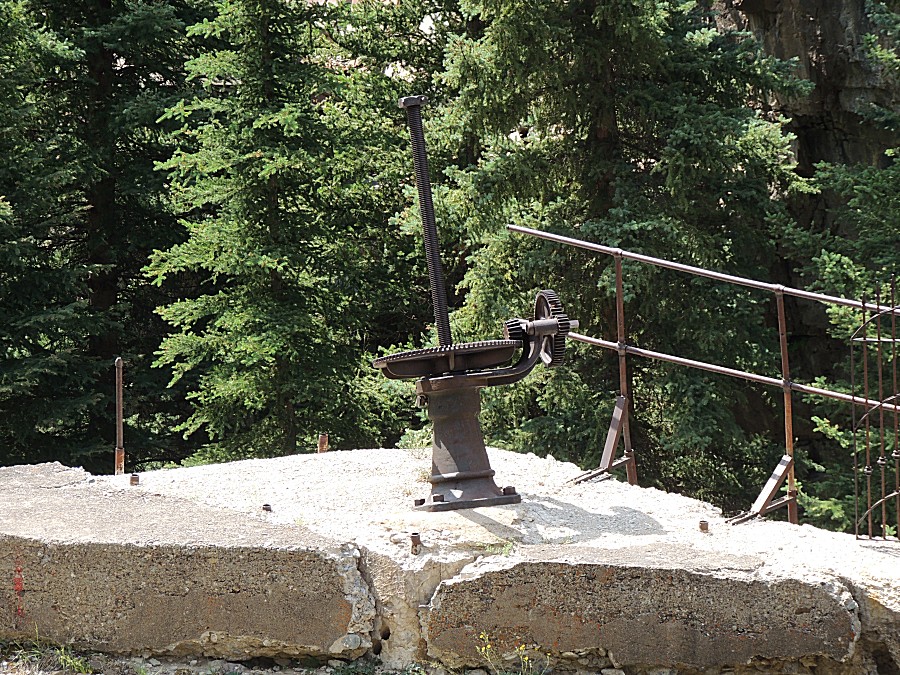
| A car / cart that would be pulled up. |
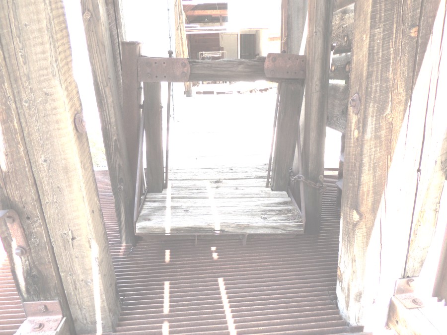
| It's not sitting in the wood guide frame. |
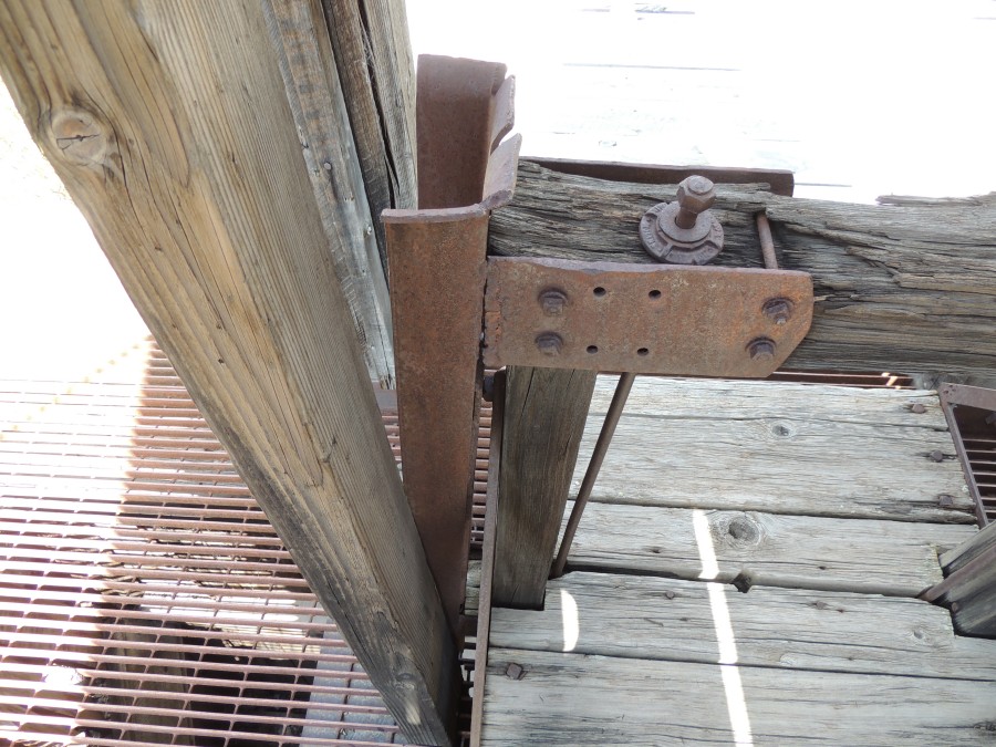
| No
wheels needed - just timbers at each side of the shaft and a U-channel
of metal on each side of the car to follow the vertical timbers |
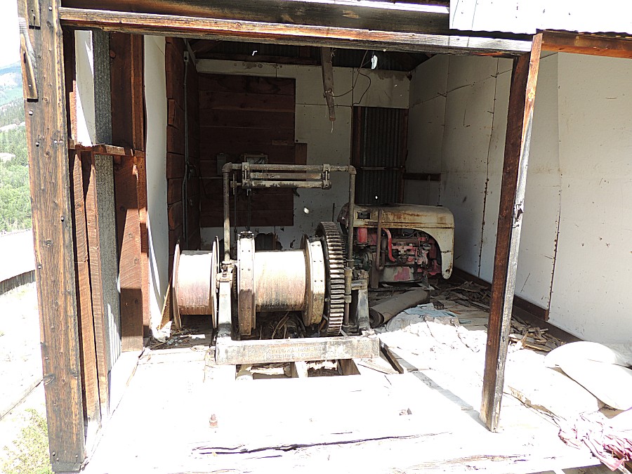
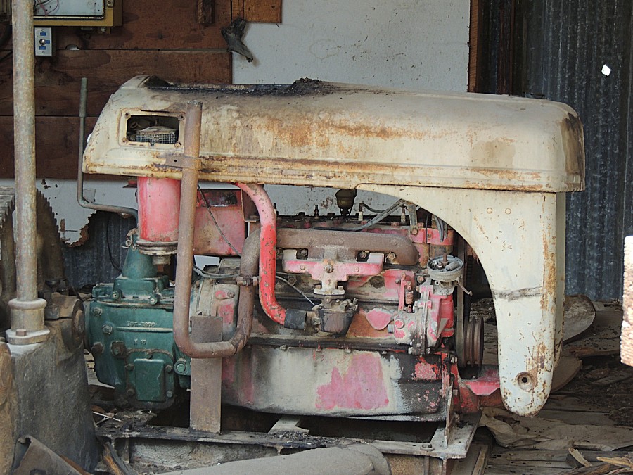
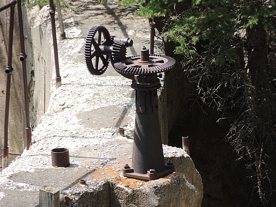
| Farm tractor engine & transmission - with
hood - repurposed for lift operation |
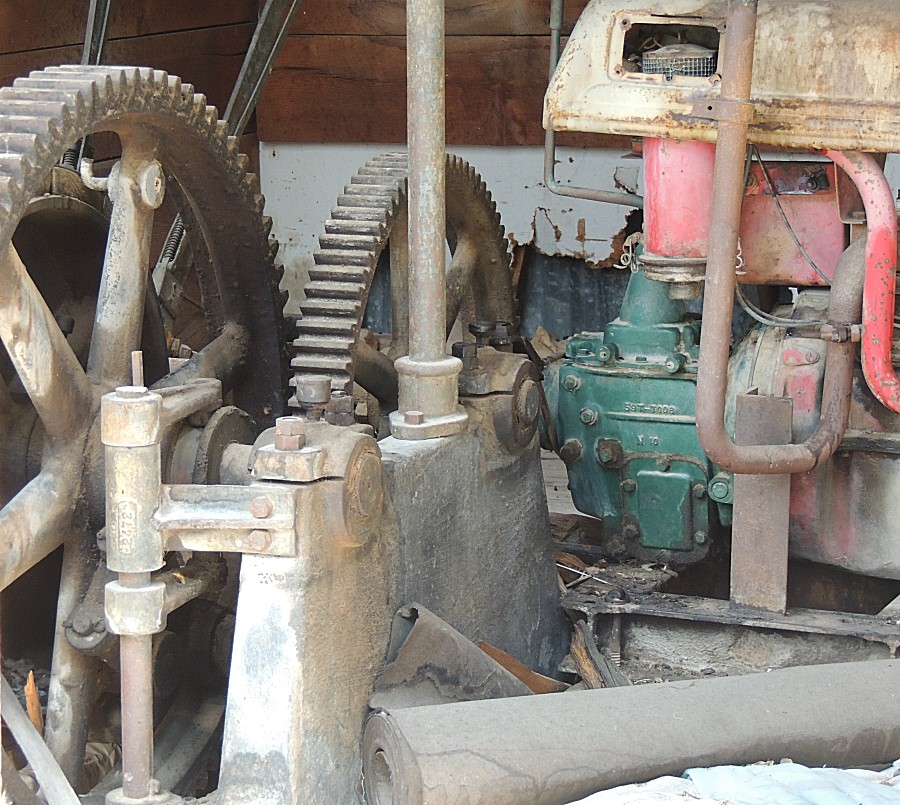

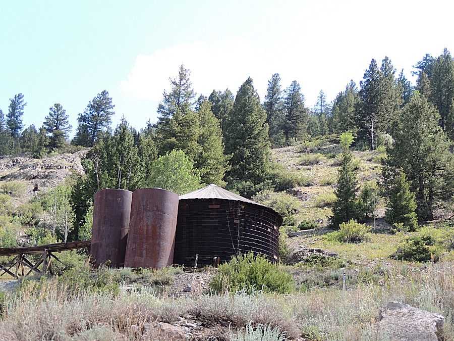
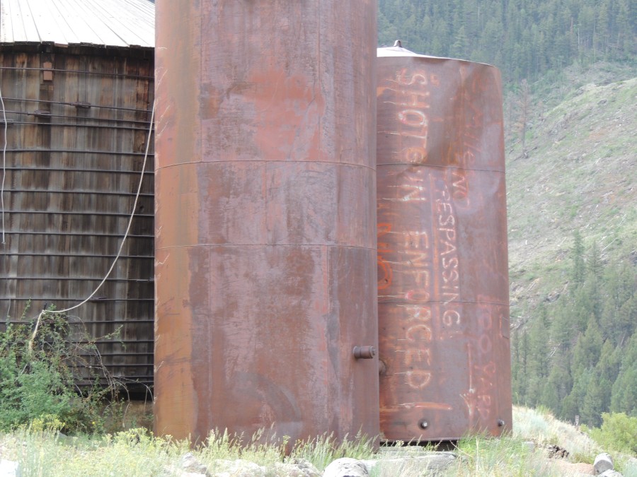
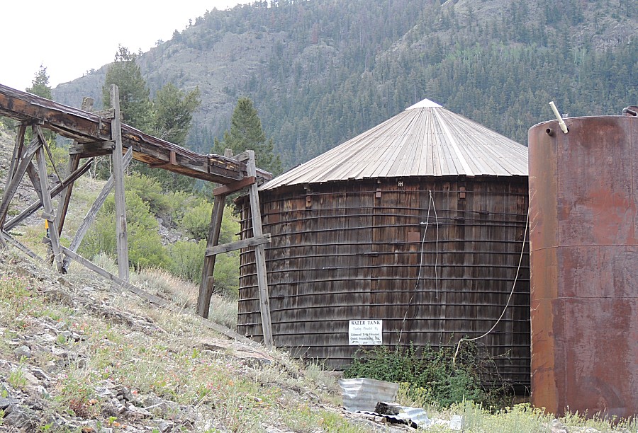
| The water flume, covered, to bring water to
the water tank |
| hmmm - some non-period reconstruction
(composite I-joists) |
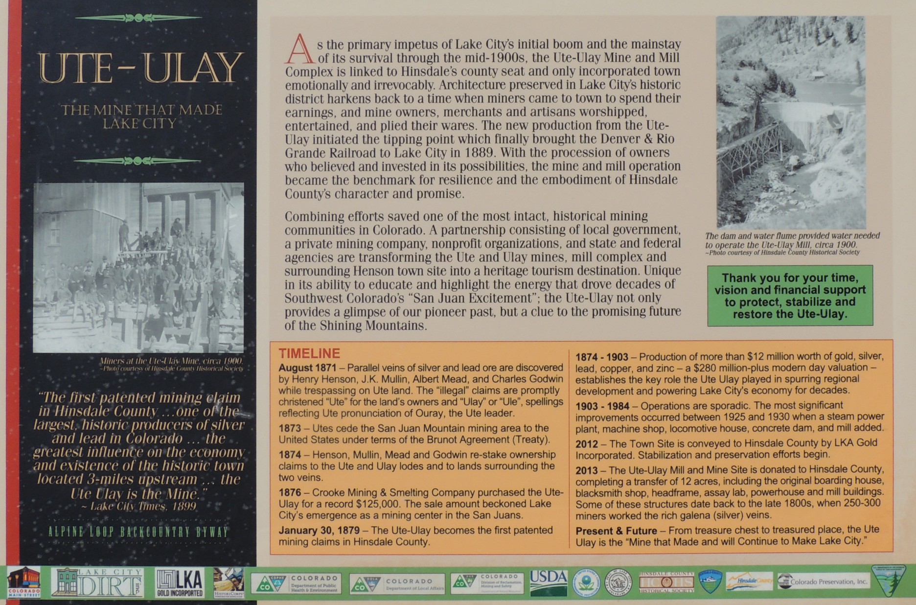
| Info Sign Ute-Ulay - The Mine that made Lake City |
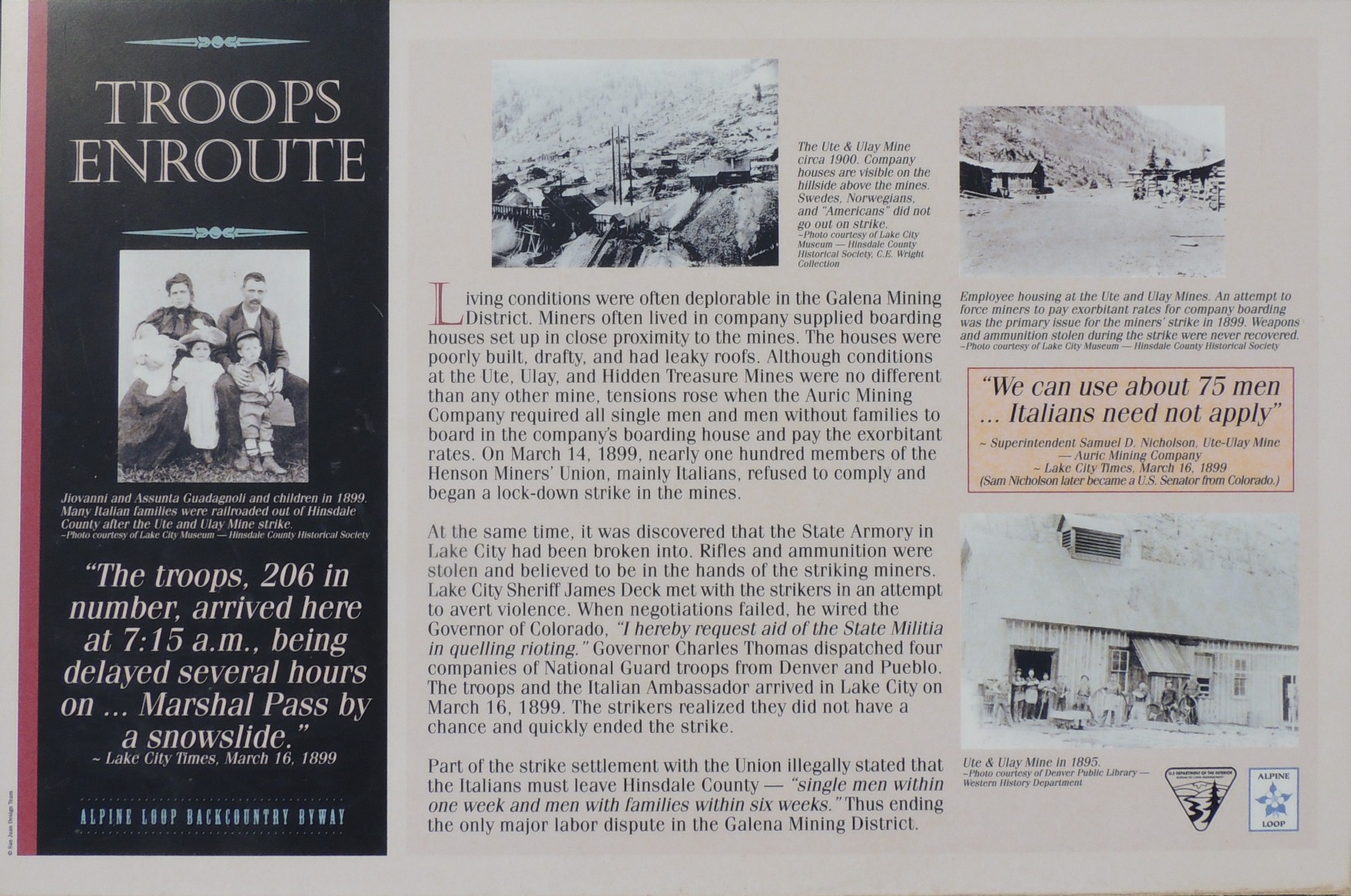
| Info sign Troops Enroute |
| The main gate |
| A smaller gate, higher up |
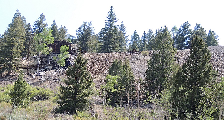
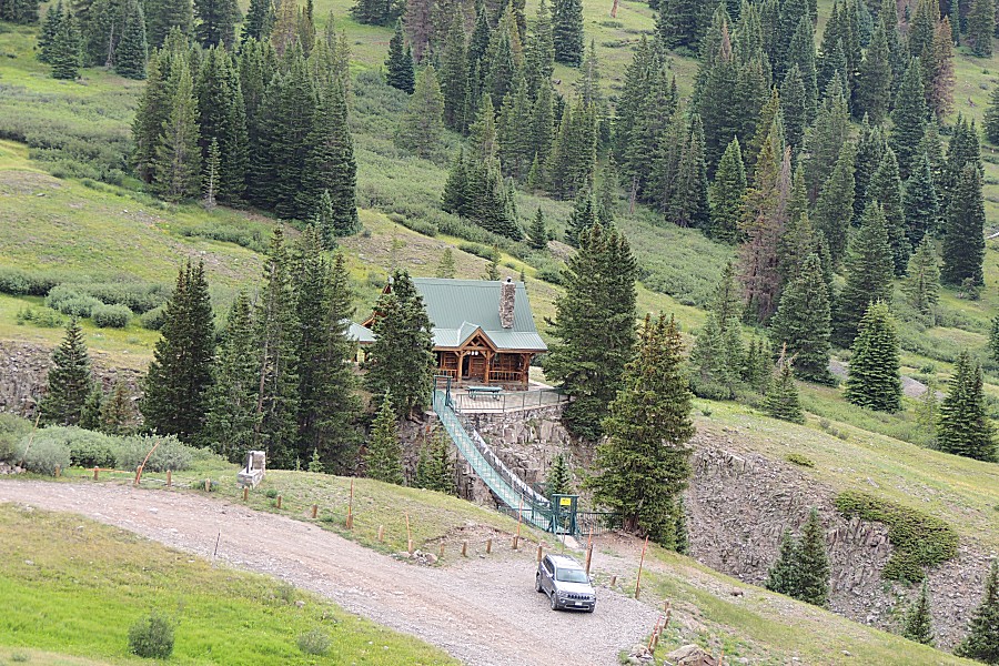
| One of a couple notable houses up this
valley... |
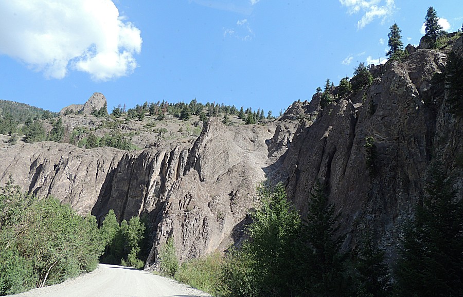
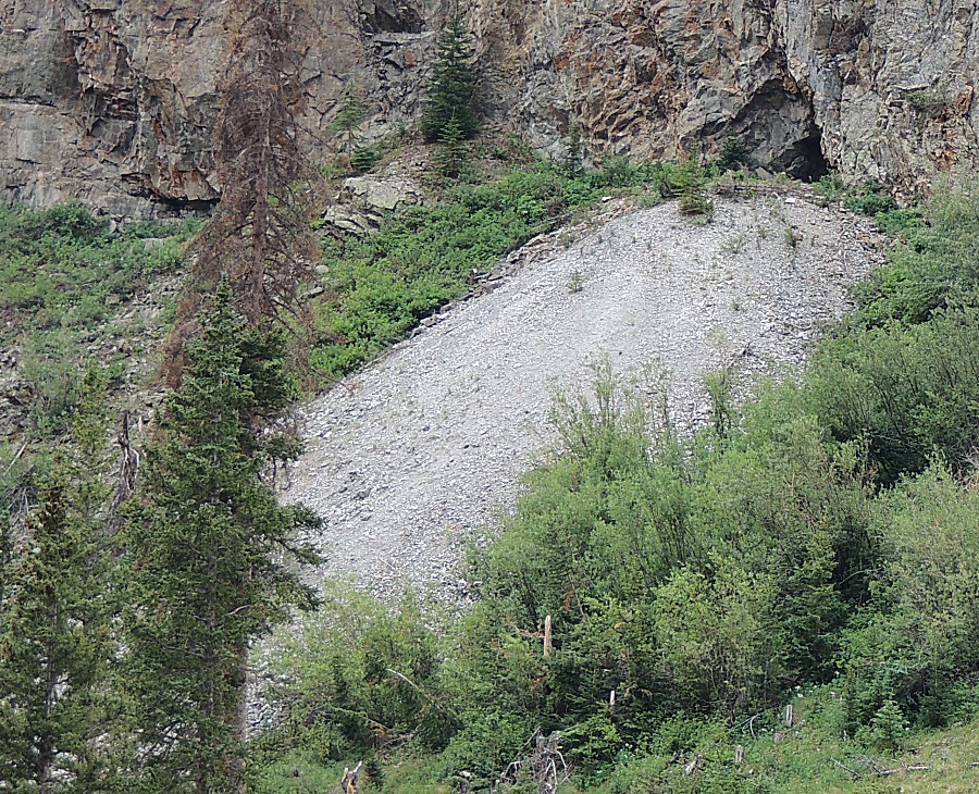
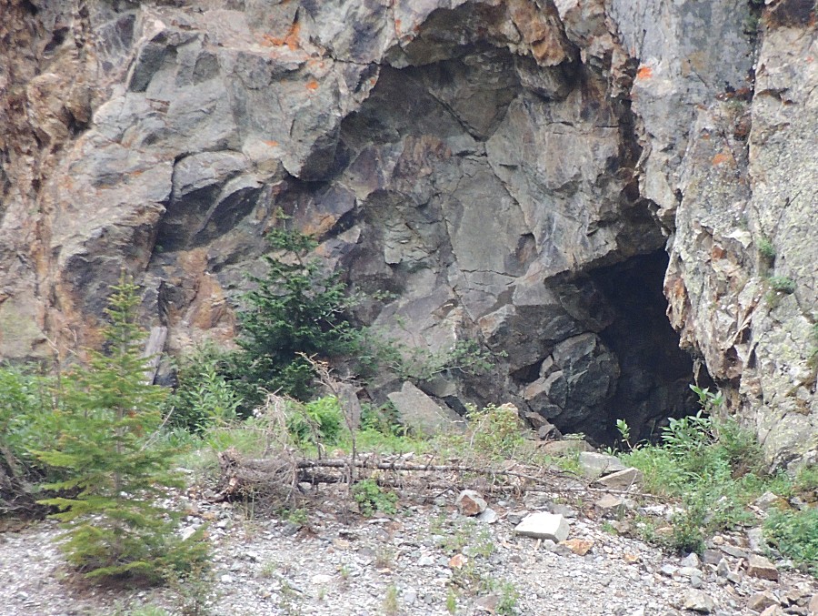
| An off-colored fan of rock, sometimes with a
hole in the rock - they dot the area |
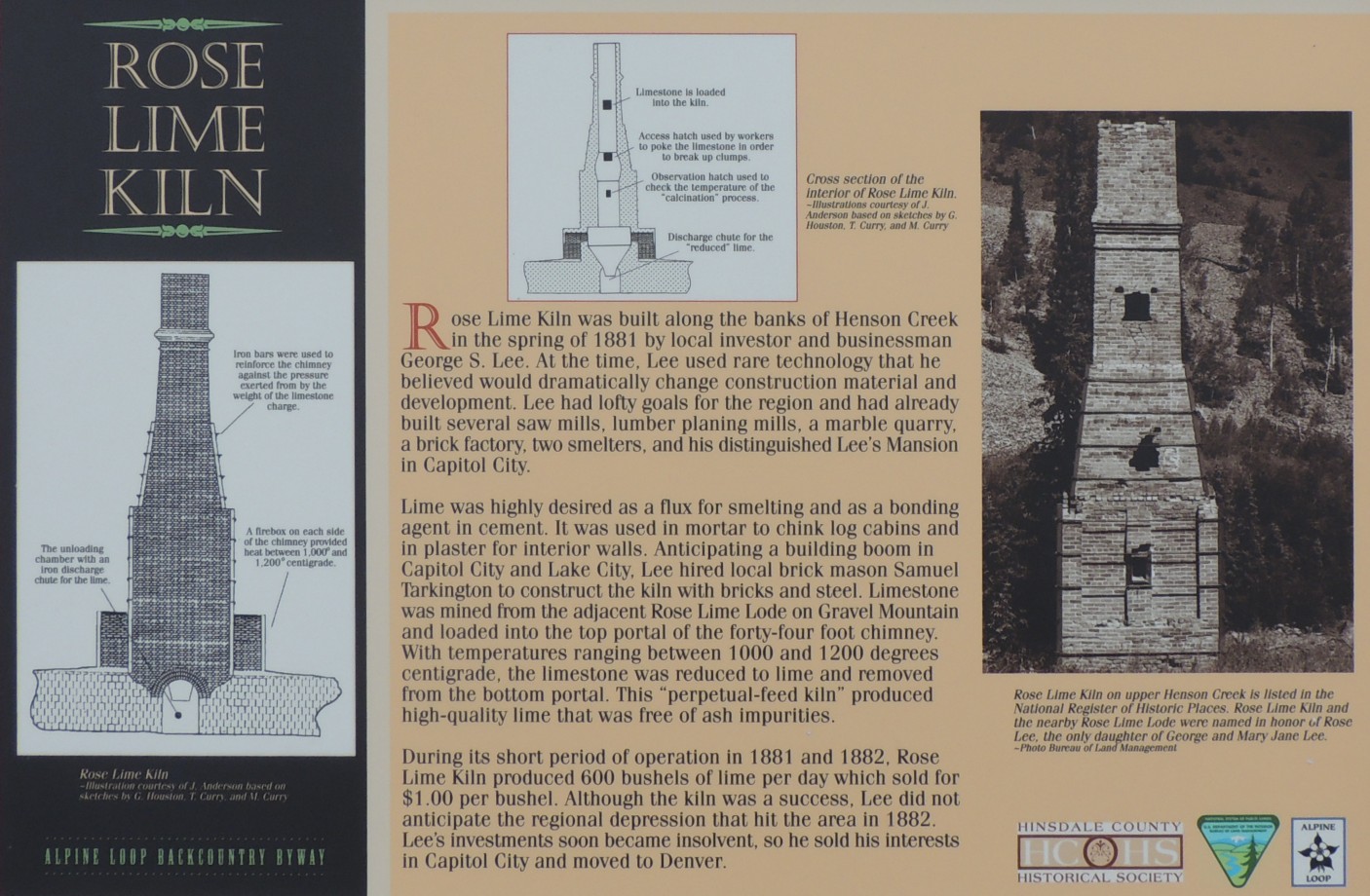
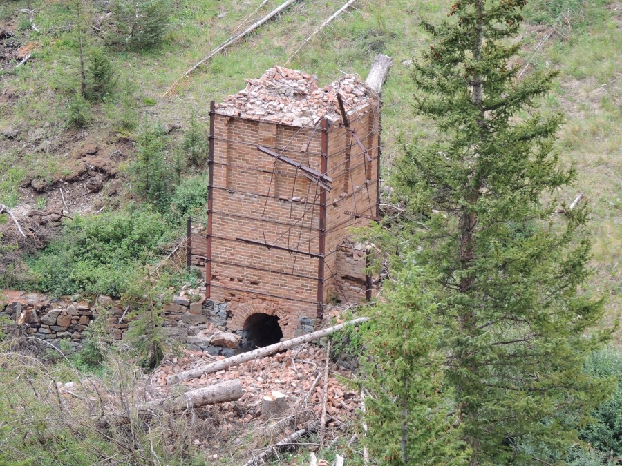
| Info sign Rose Lime Kiln |
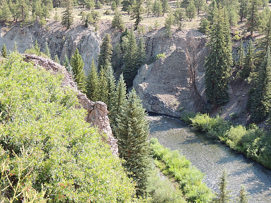
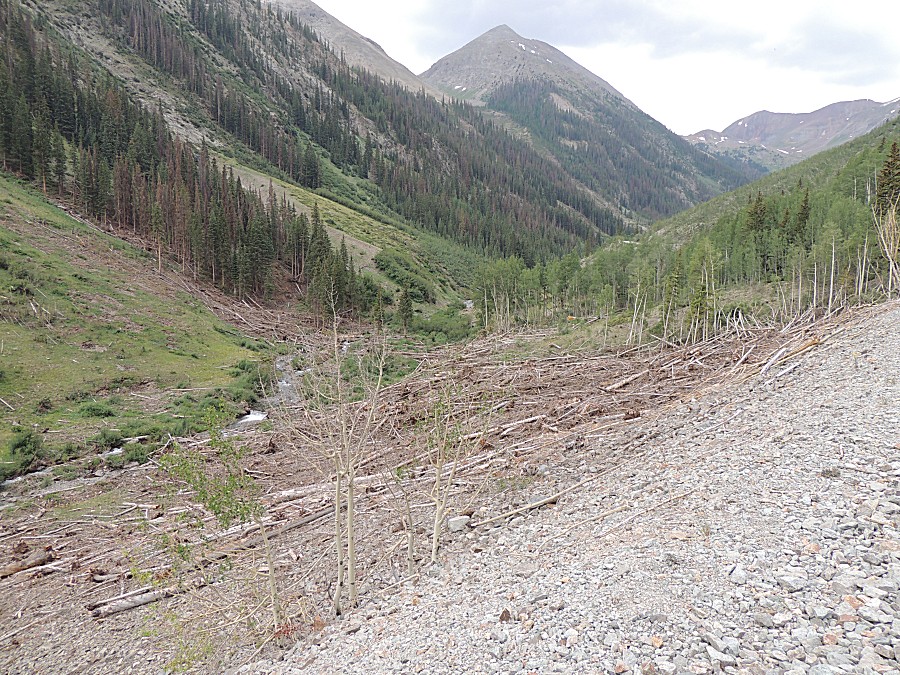
| Landslide area with downed trees |
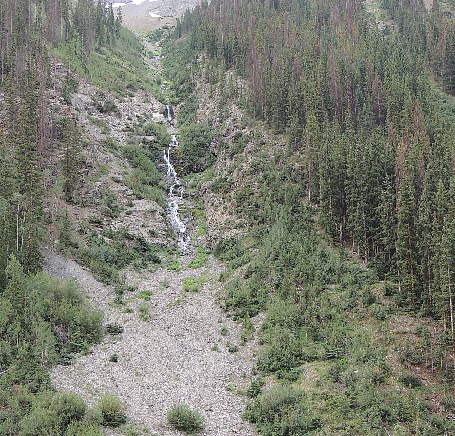
| Disappearing mountainside stream |
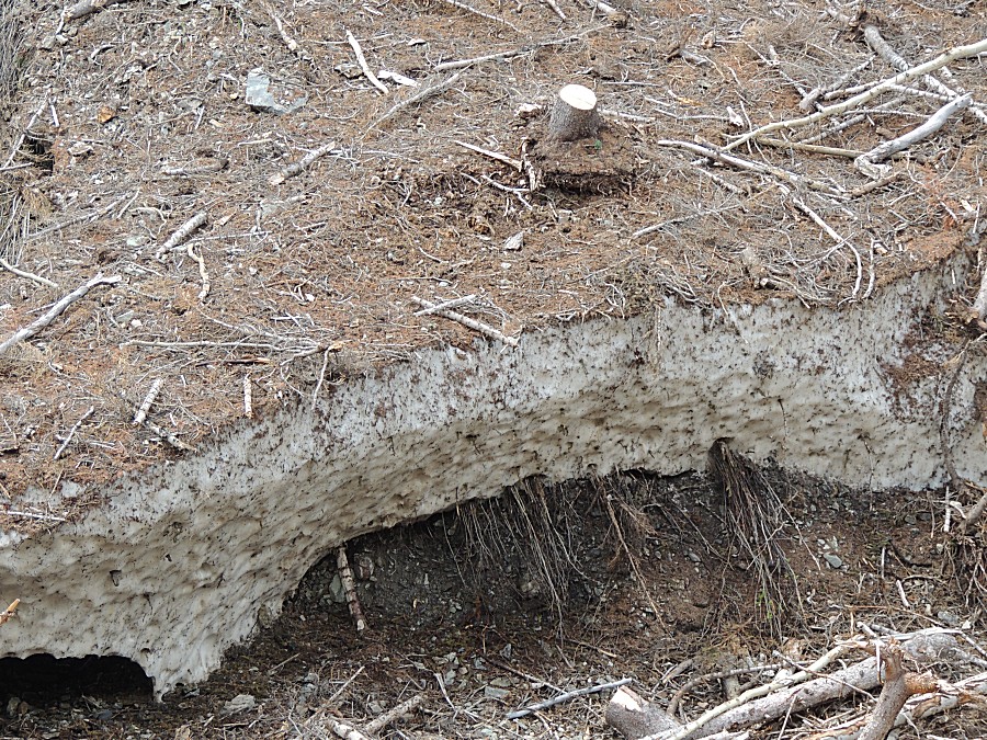
| The landslide area - see the huge blanket of
snow? No? |
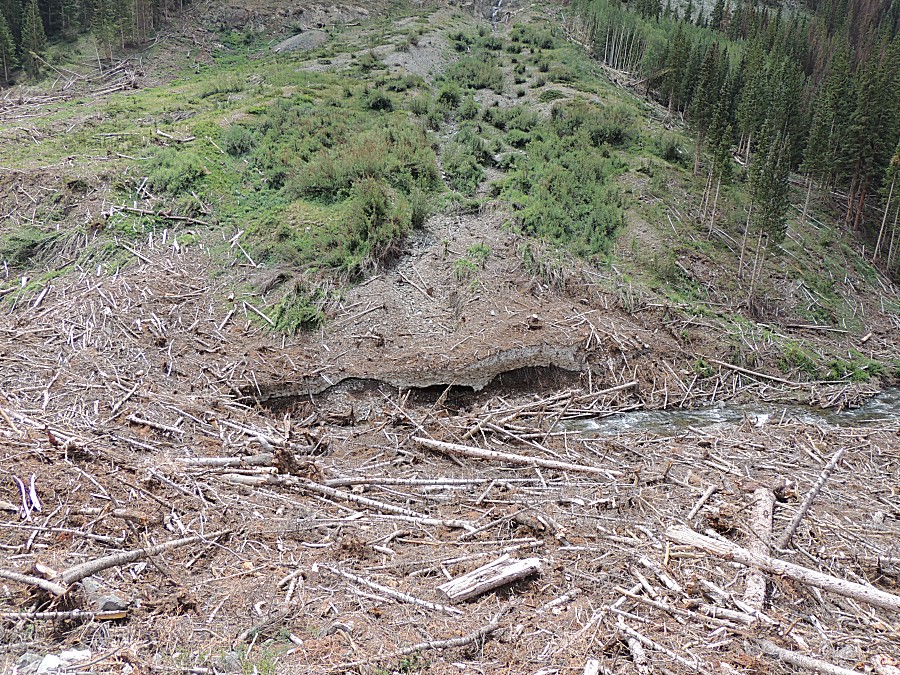
| There's a closer look - perhaps three to five
feet thick. |
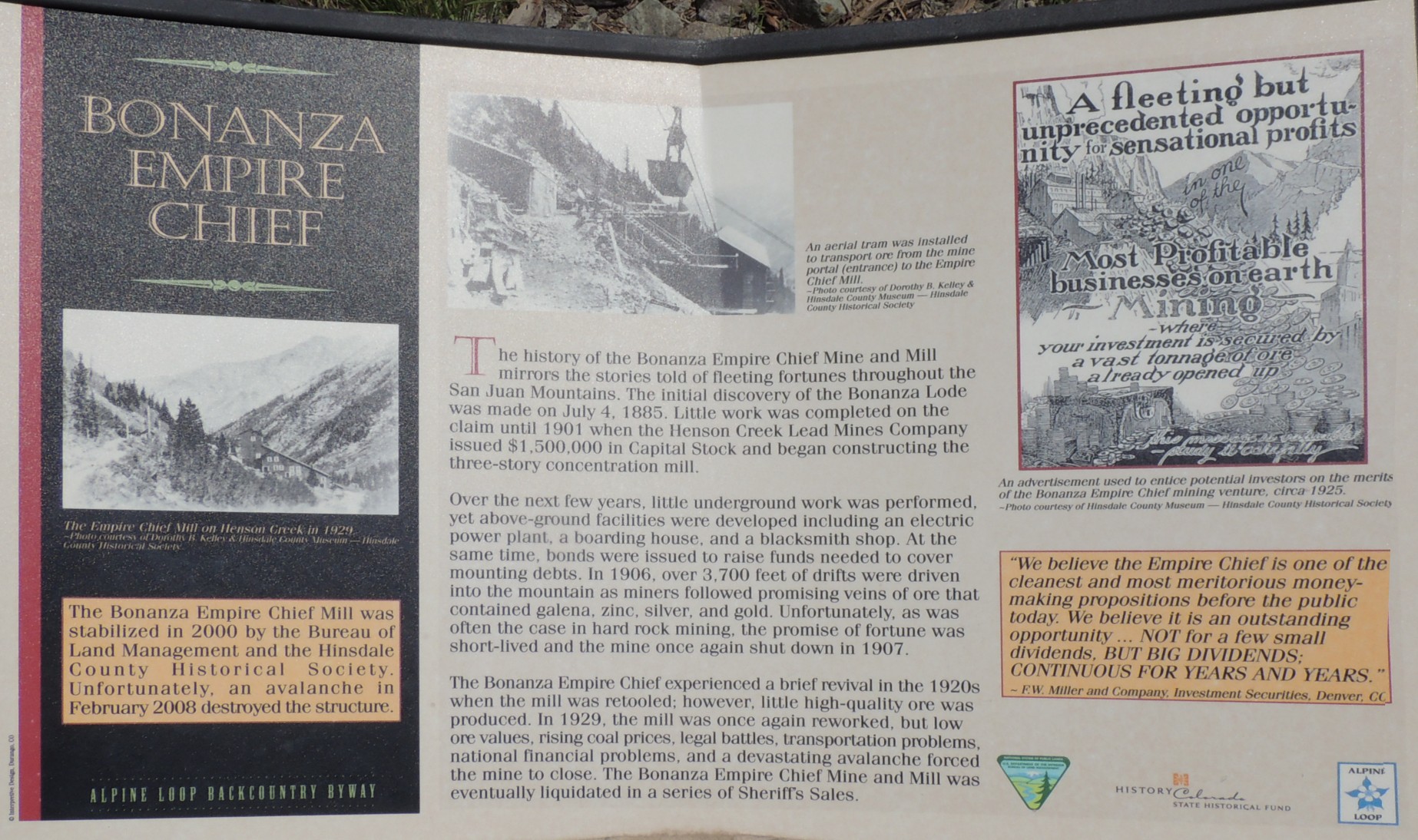
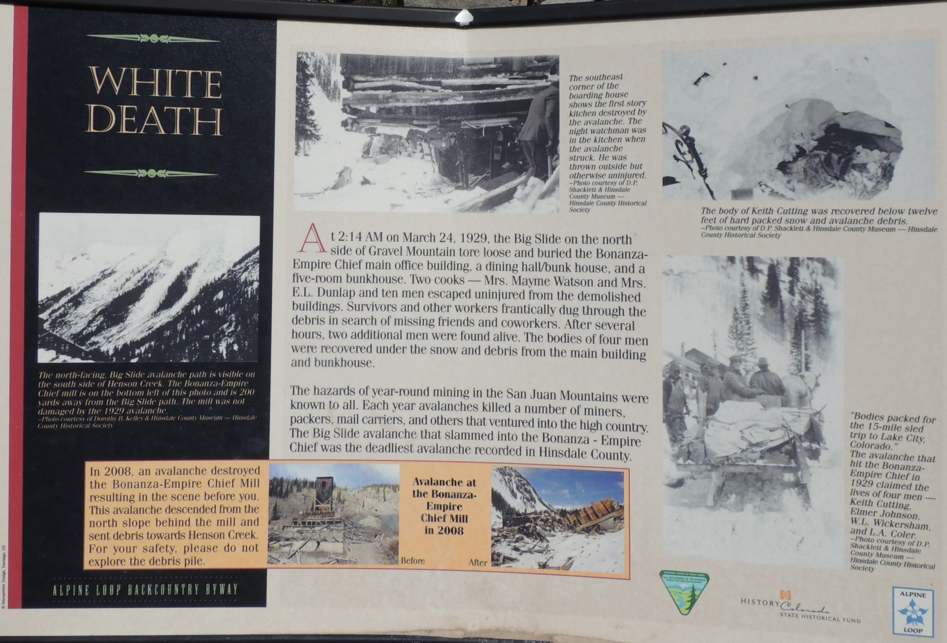
| Info sign Bonanza Empire Chief These two info signs aren't faring well - they're getting battered / bent by yet more avalanche activity. |
| Info sign White Death |
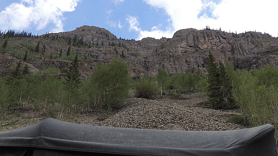
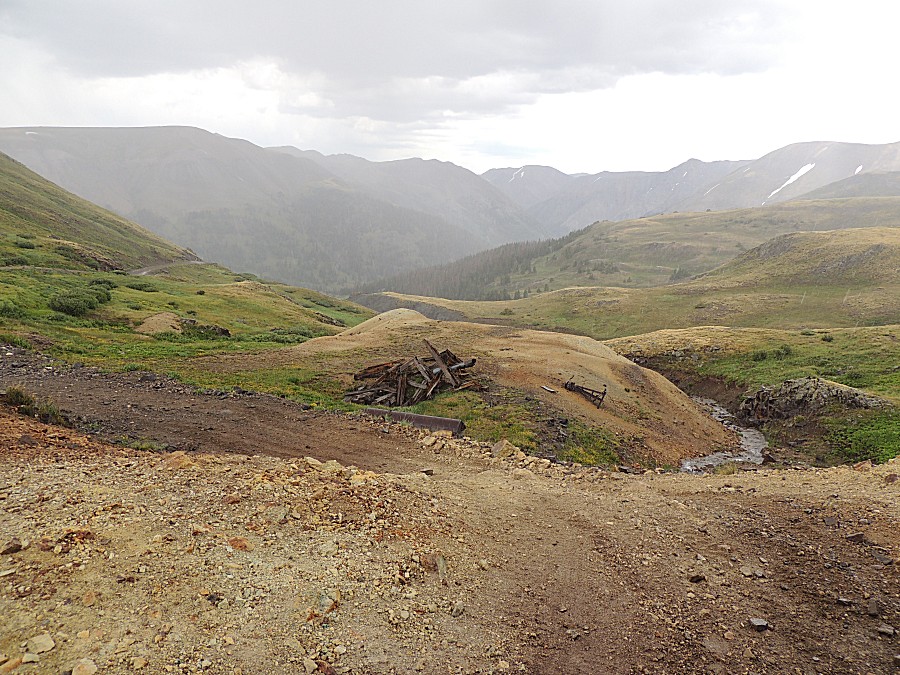
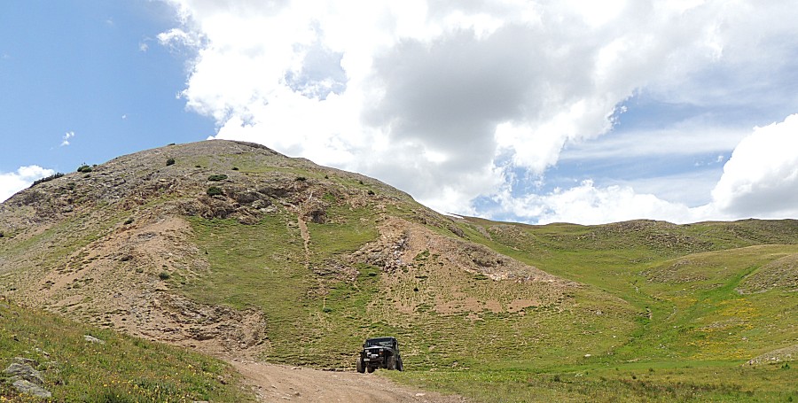
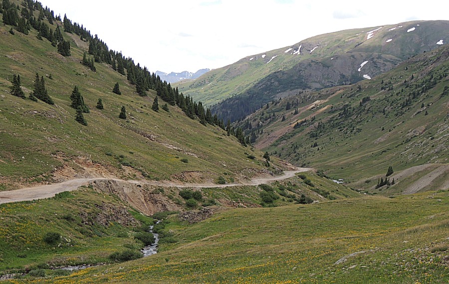
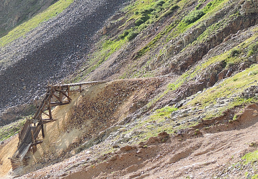
| A "some day" road to explore |
| We're
past the end of the "county road" and are on the more "tail" portion of
the trail. In the picture, far left, is the second of the two notable
homes - though I'm not certain if this structure is used as a home. |
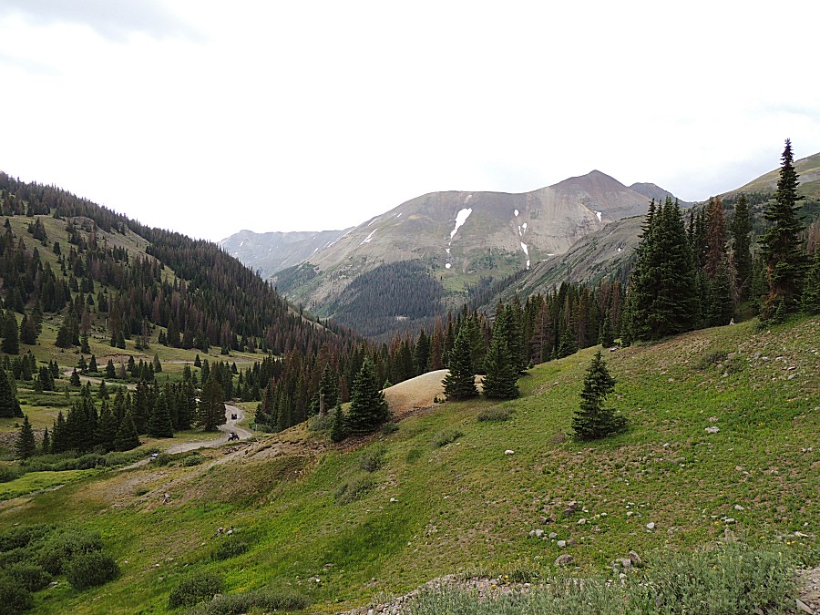
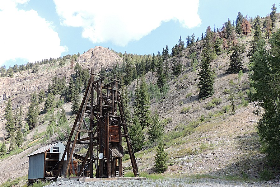
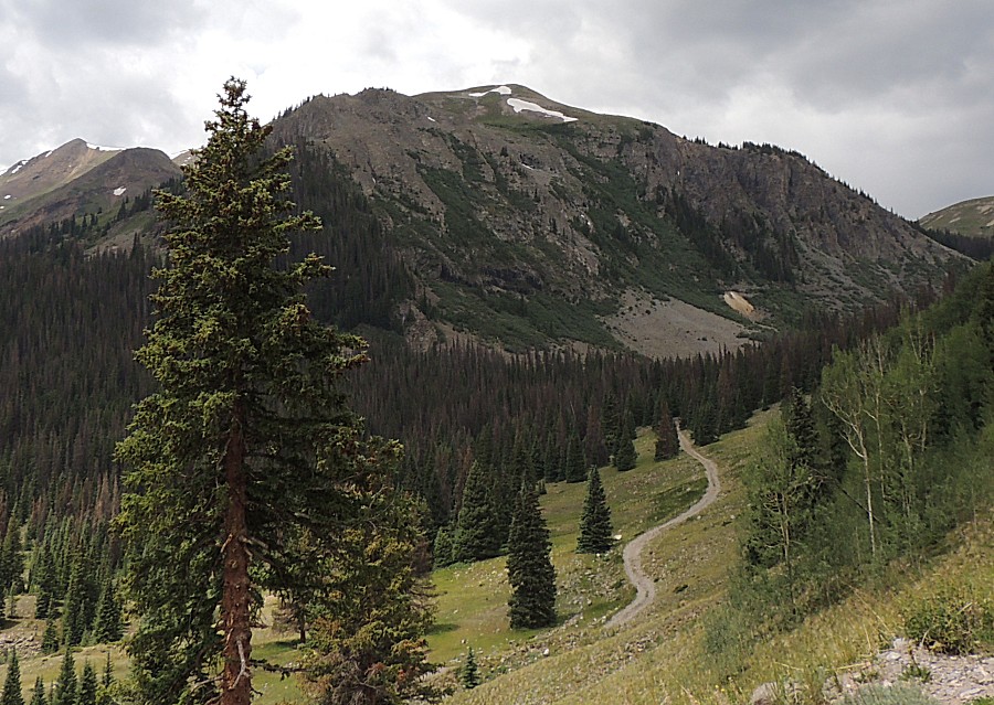
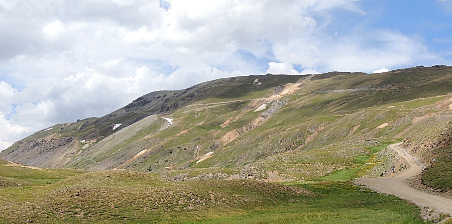
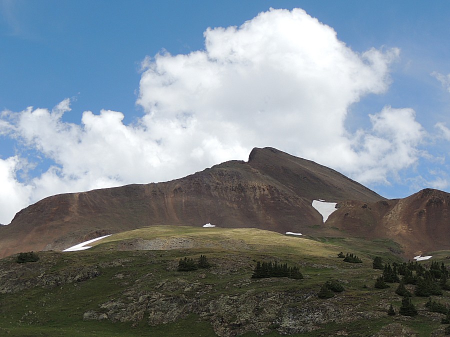
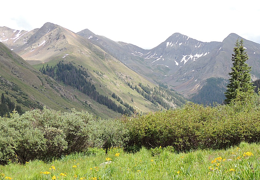
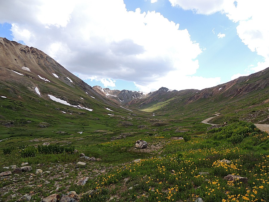
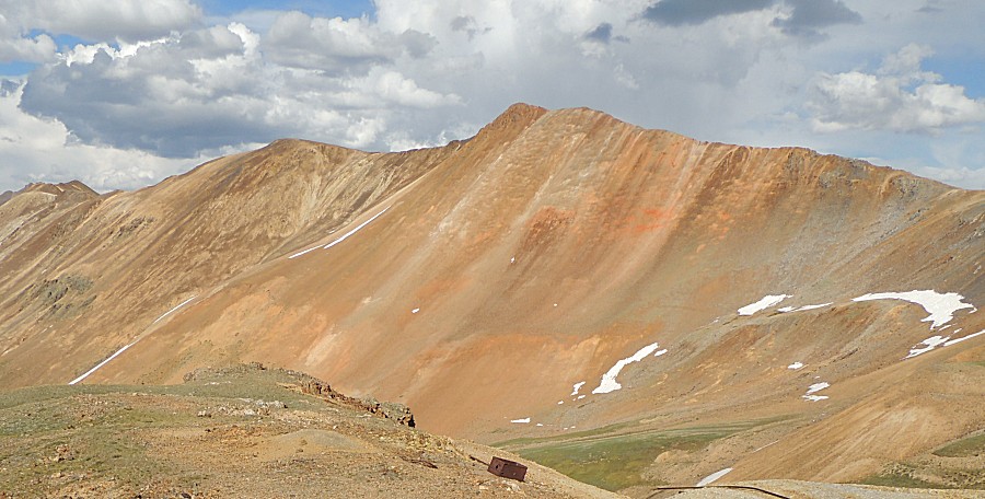
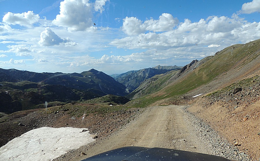
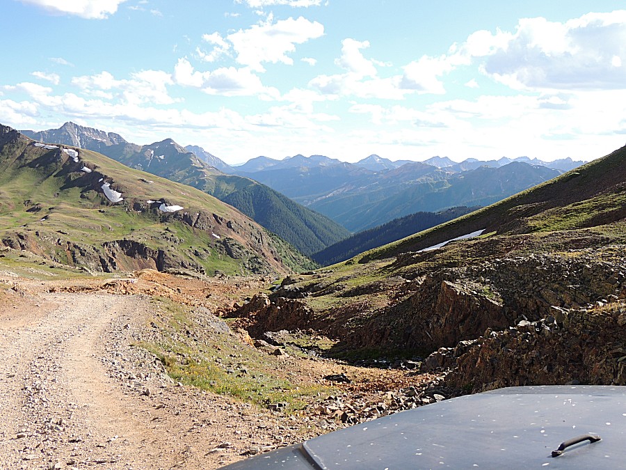
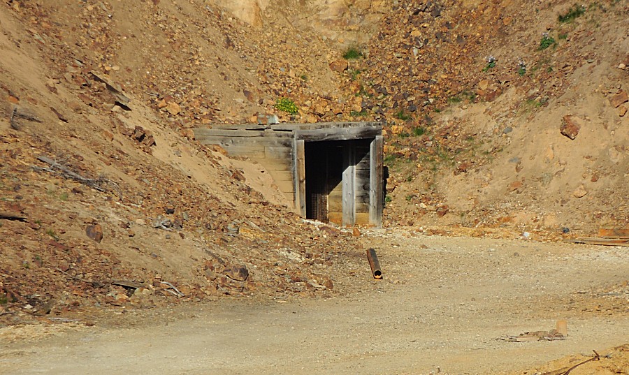
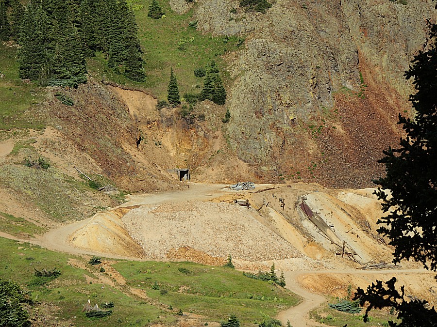
| Rain in the distance. Up near Engineer Pass -
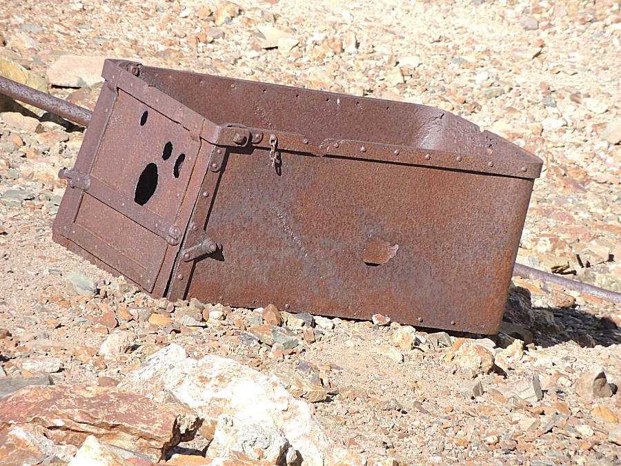
more mine activity / relics. |
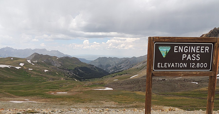
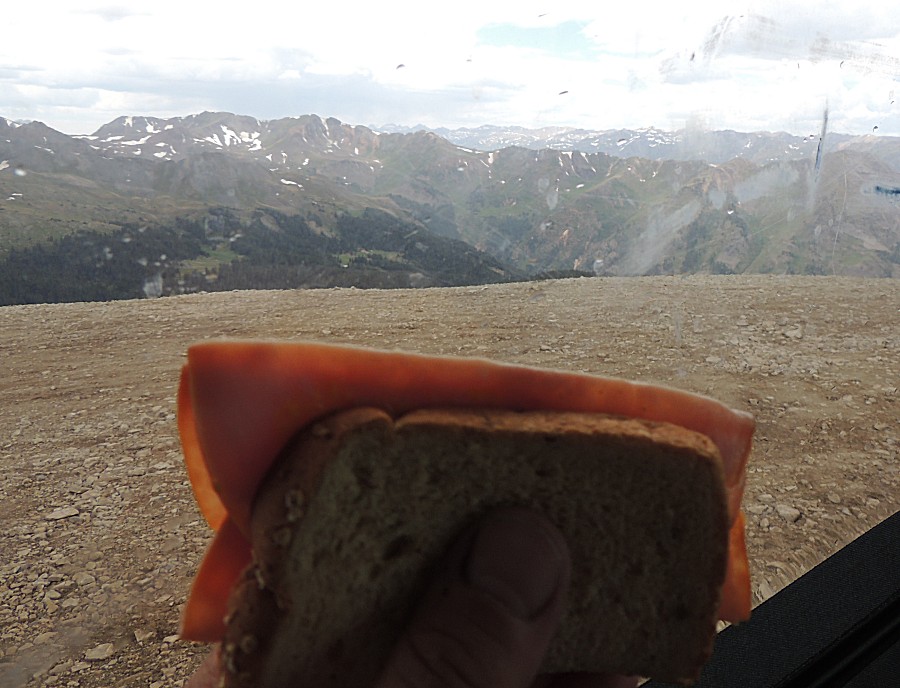
| Lunch at Odom Point with a light rain. We're up in those white speckled mountains! |
| Panorama Click for a much larger size |

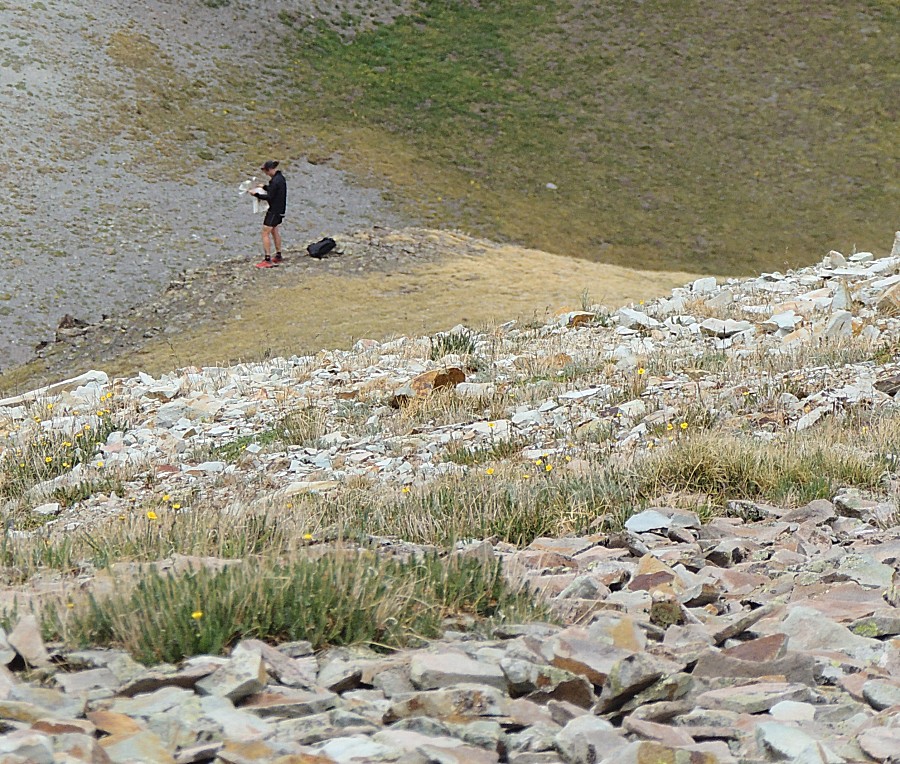
| While
we were up at Odom point, a jogger / hiker ran through the area and
down the side of the point. A few minutes later someone asks - where'd
the runner go? We looked down the slopes and this is the view -
he's checking the map to decide where to go. |
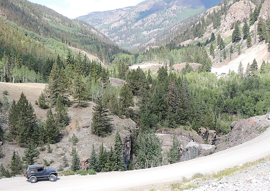
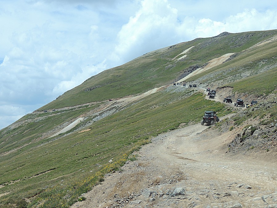
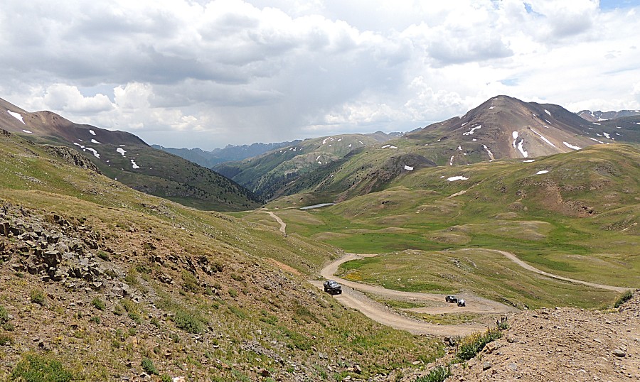
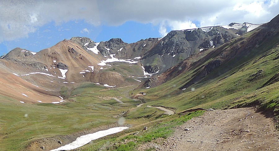
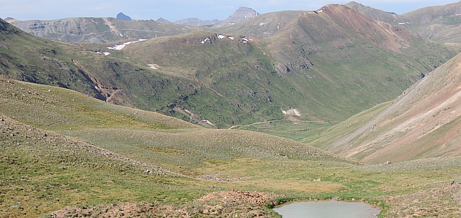
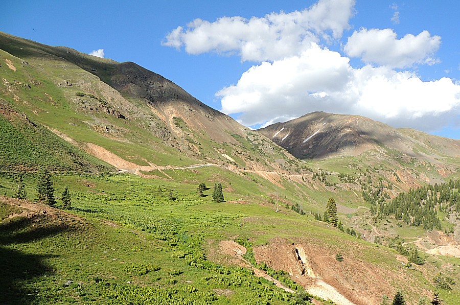
| Down from Odom Point we're at a pull-out while
up-hill traffic passes - about 20 vehicles - mostly side-by-side's |
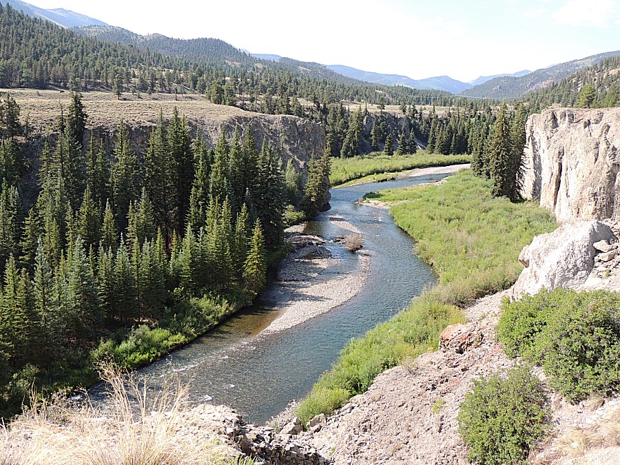
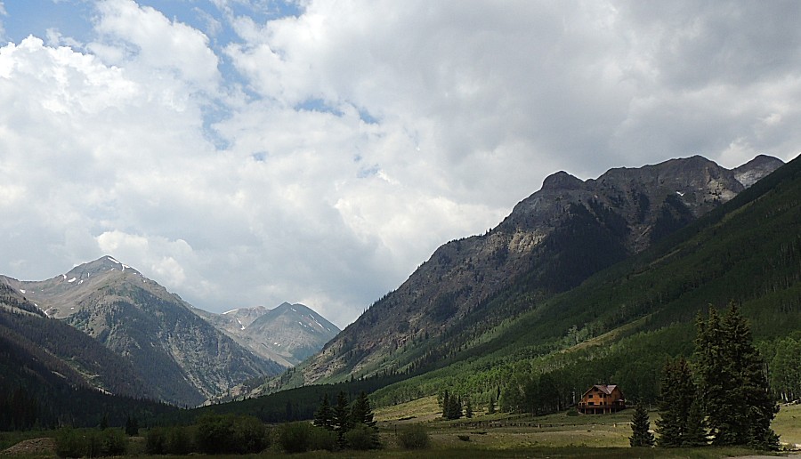
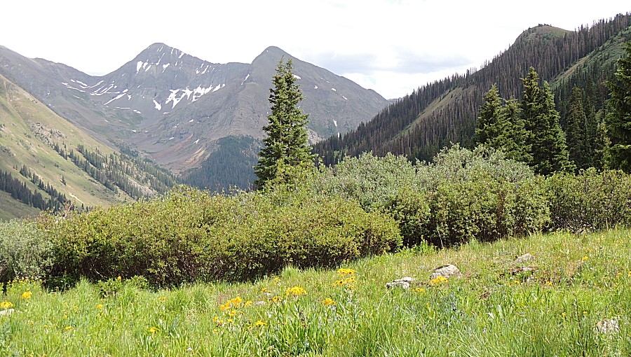
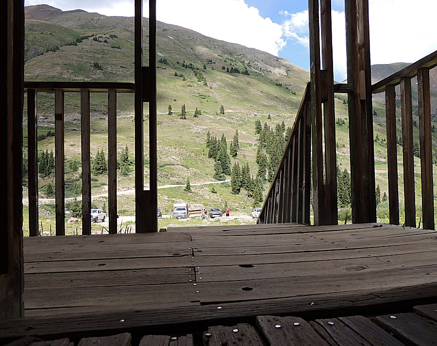
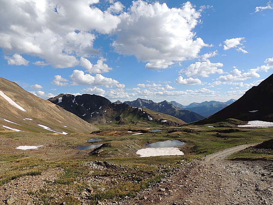
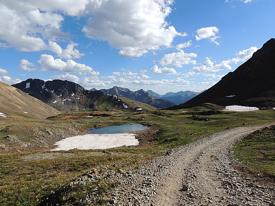
| Nice views! |
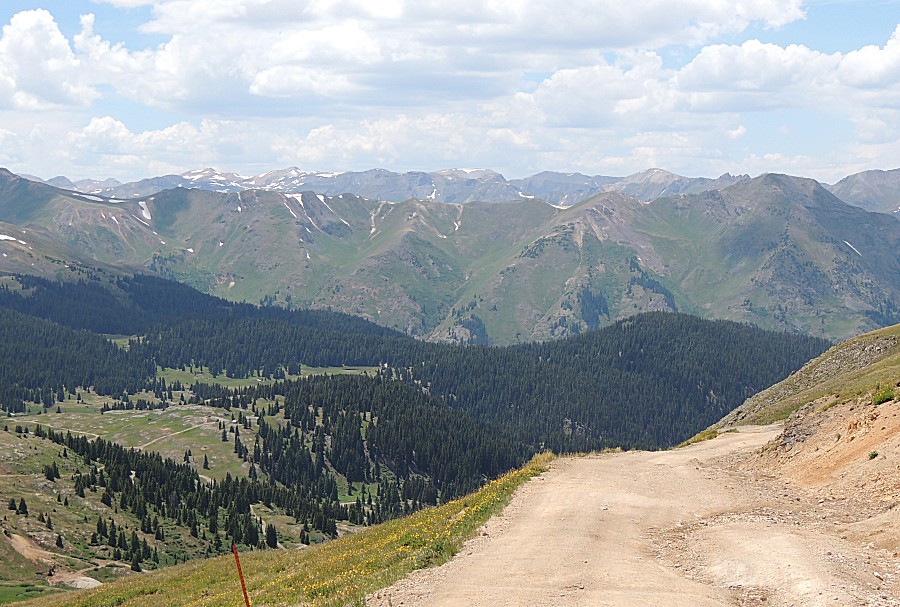
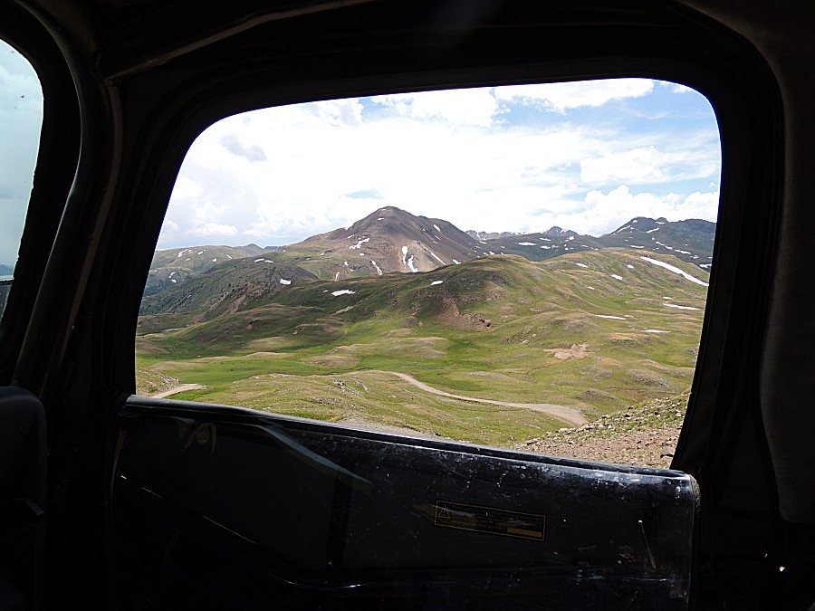
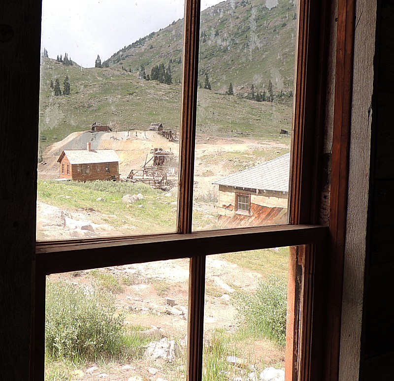
| Do rather do enjoy scenic "window shots". |
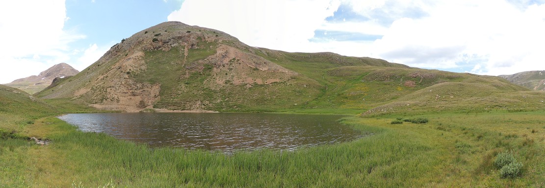
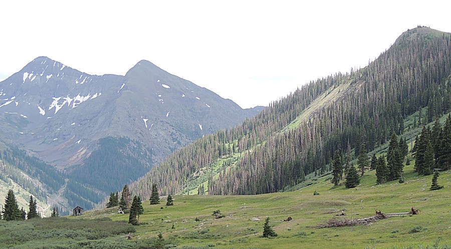
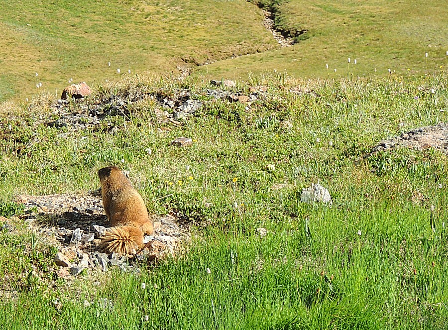
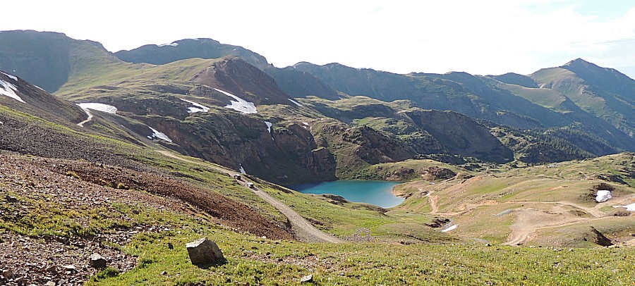
| Denver Lake There are some rock fans near the trail - we'll stop and check'm out. |
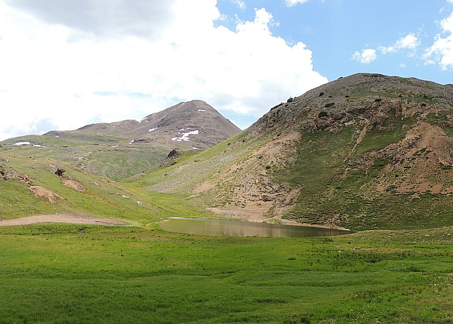
| Not much to see |

| Panorama Click for a larger version |
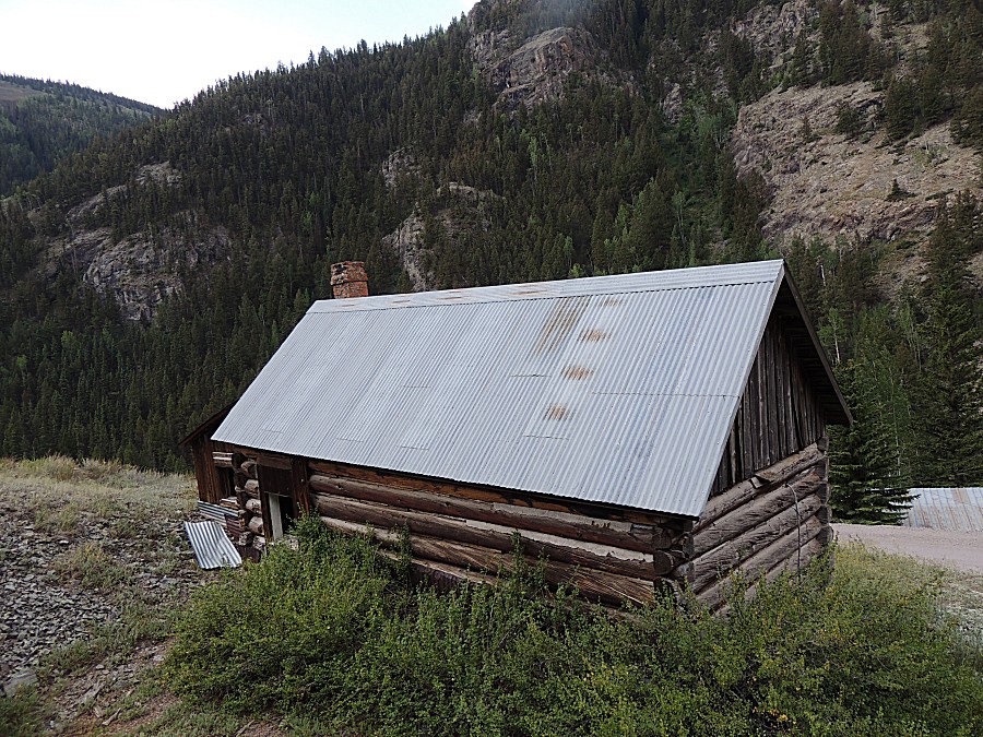
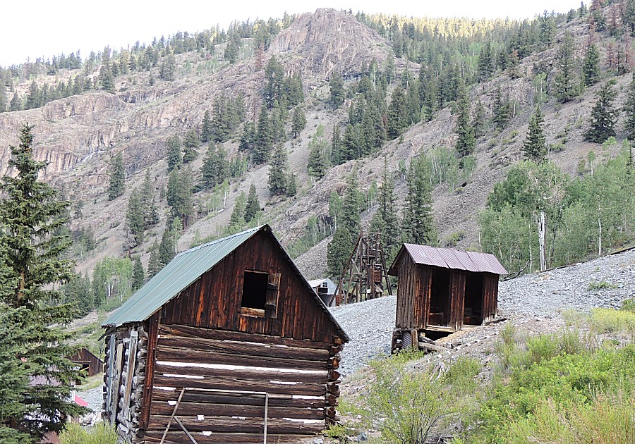
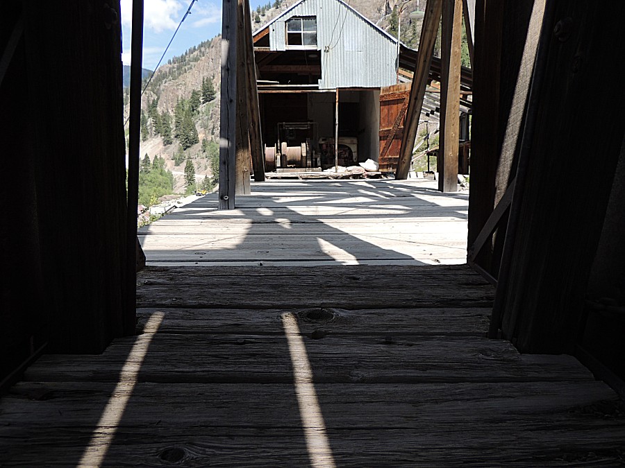
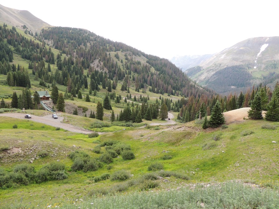
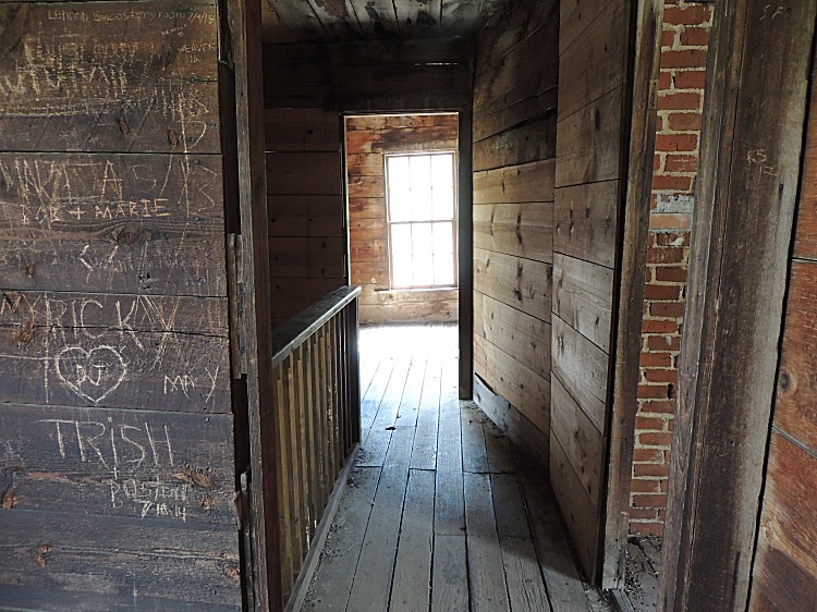
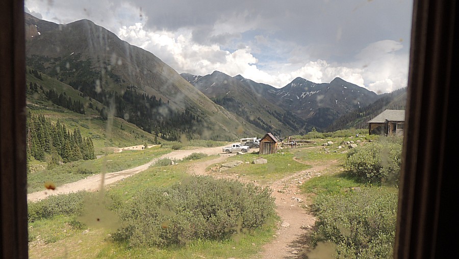
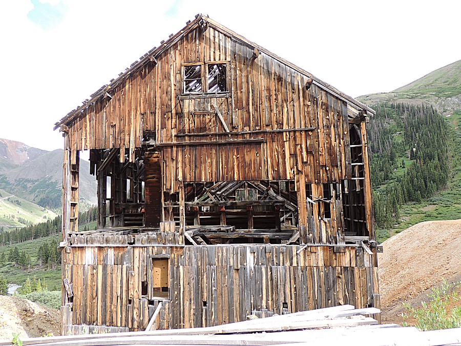
| At Animas Forks
townsite - an old trailer |
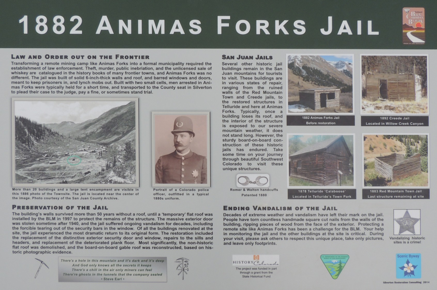
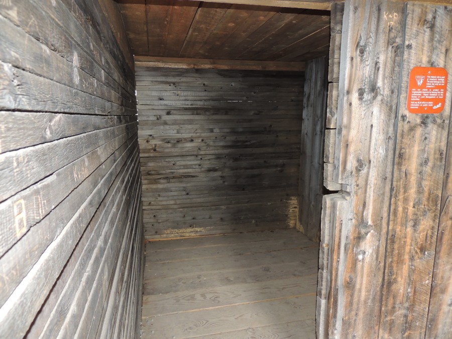
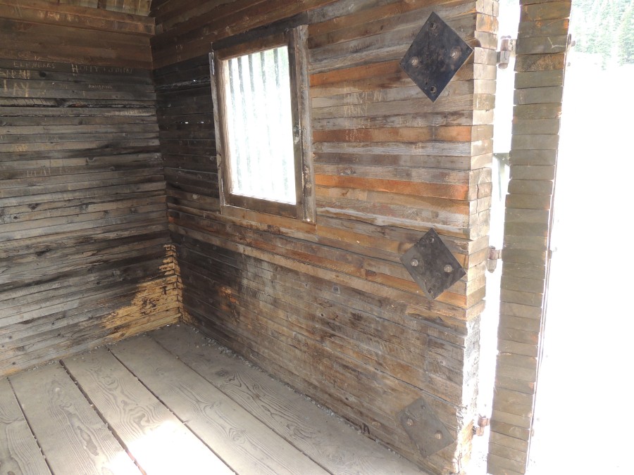
| Animas Jail |
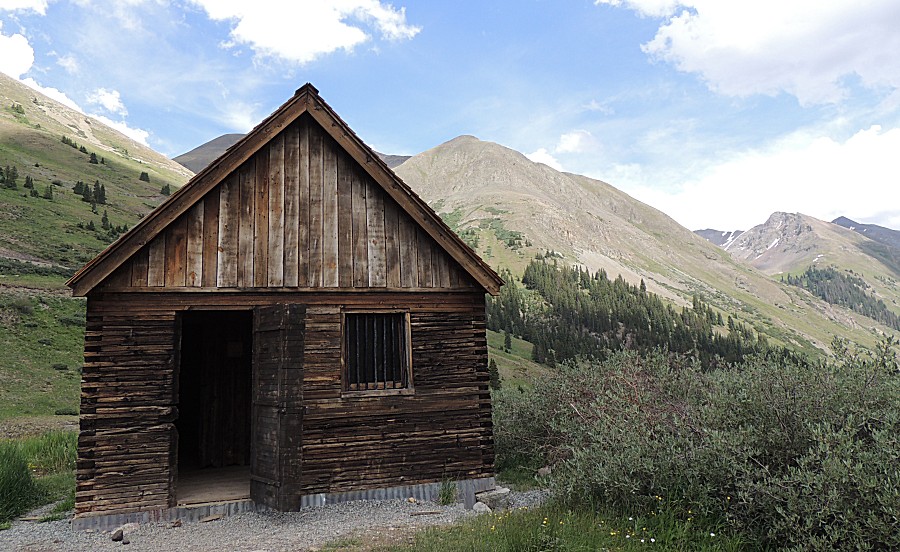
| Info sign 1882 Animas Forks Jail |

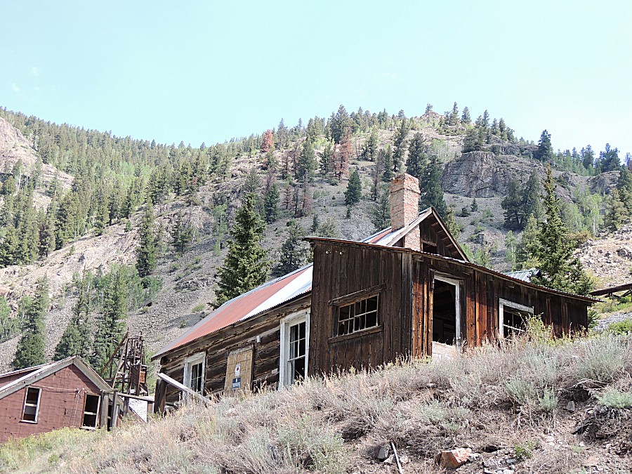
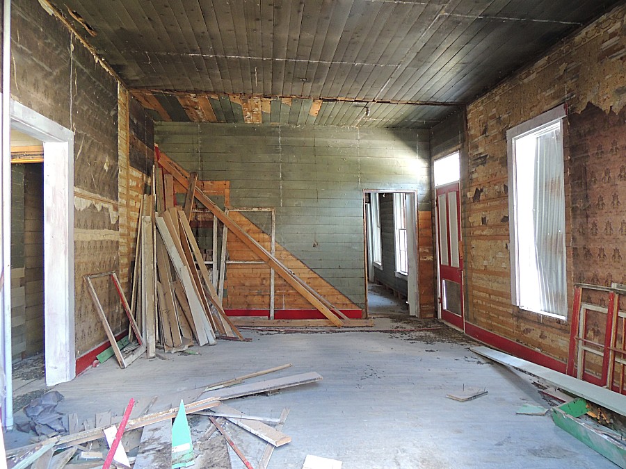
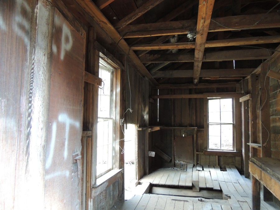
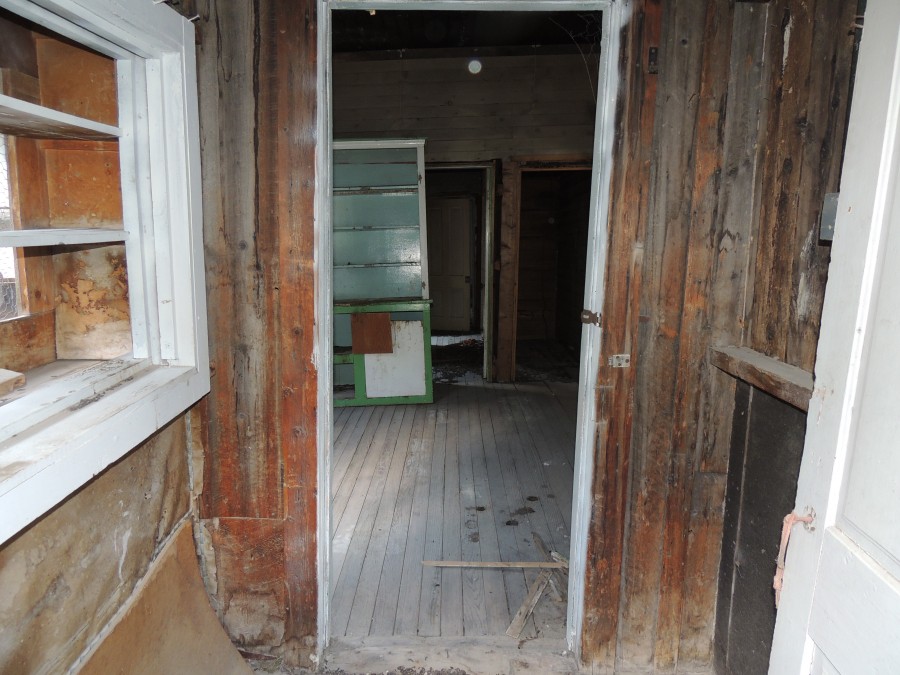
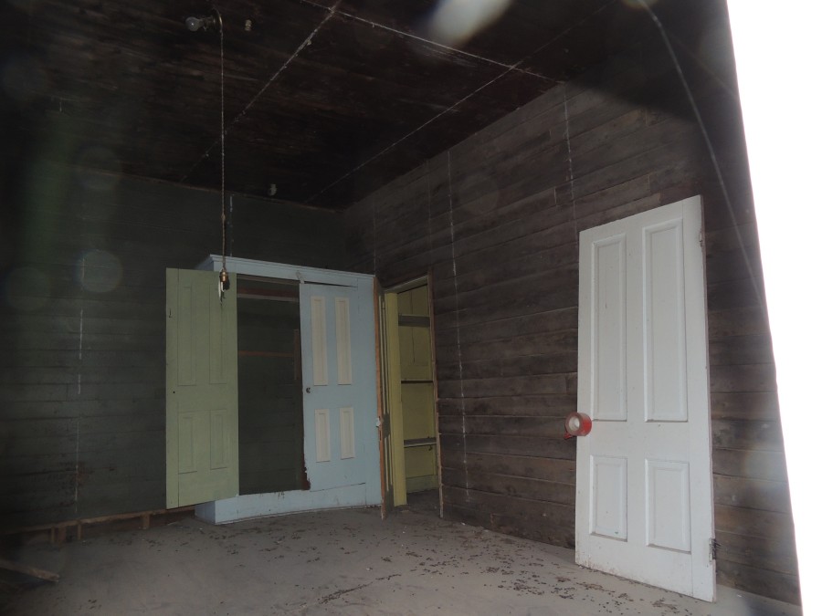
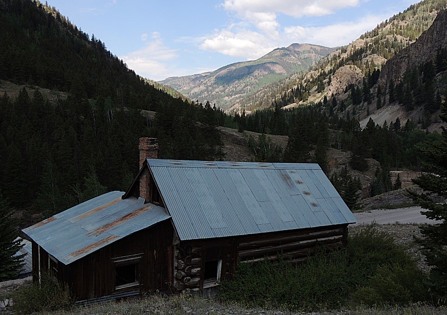
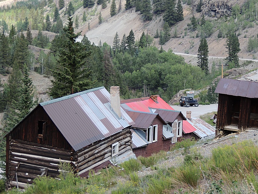
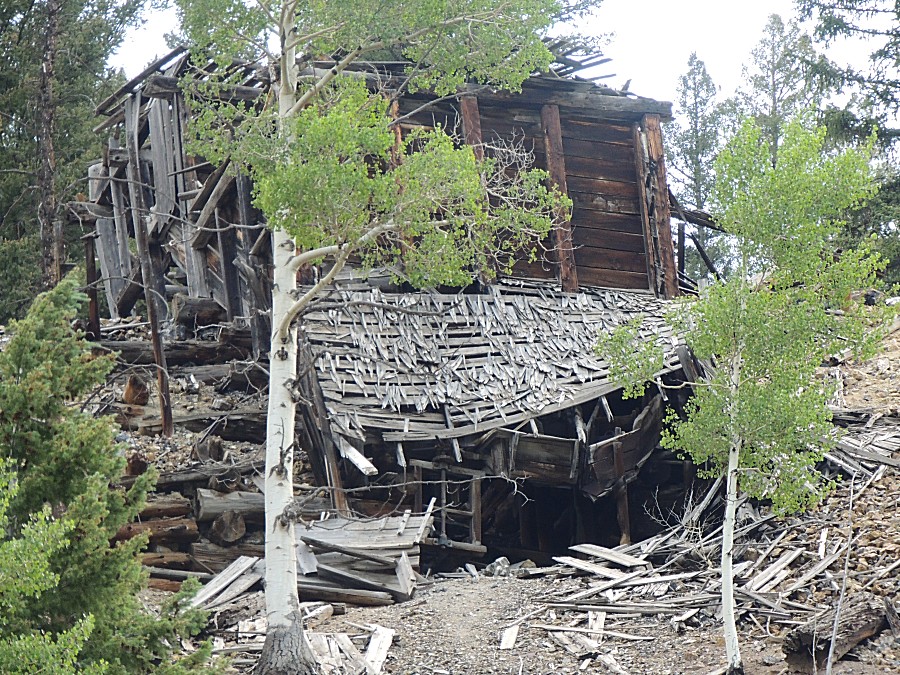
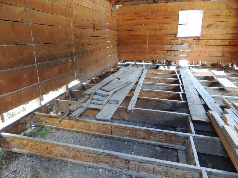
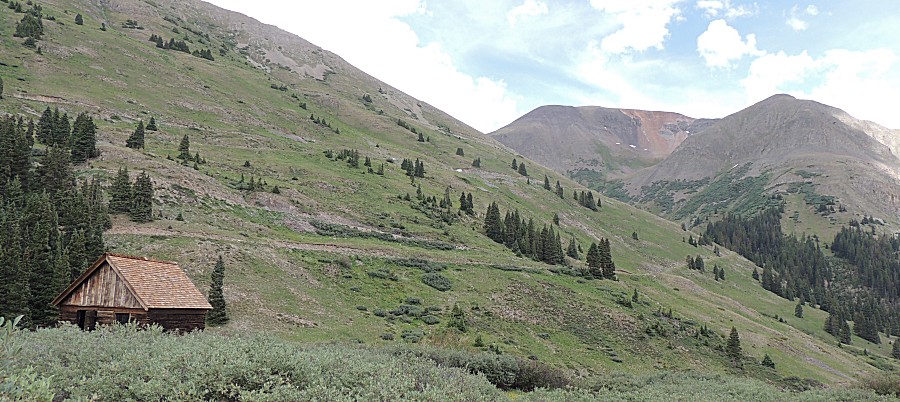
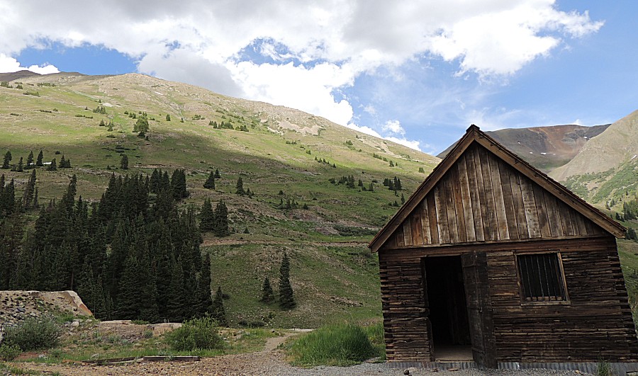
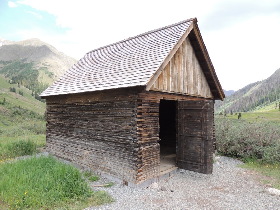
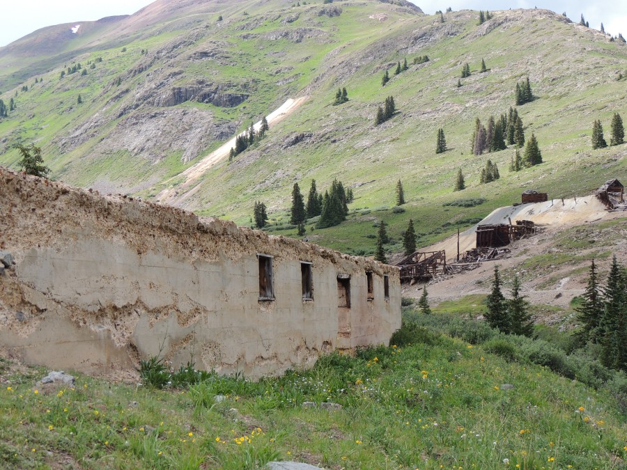
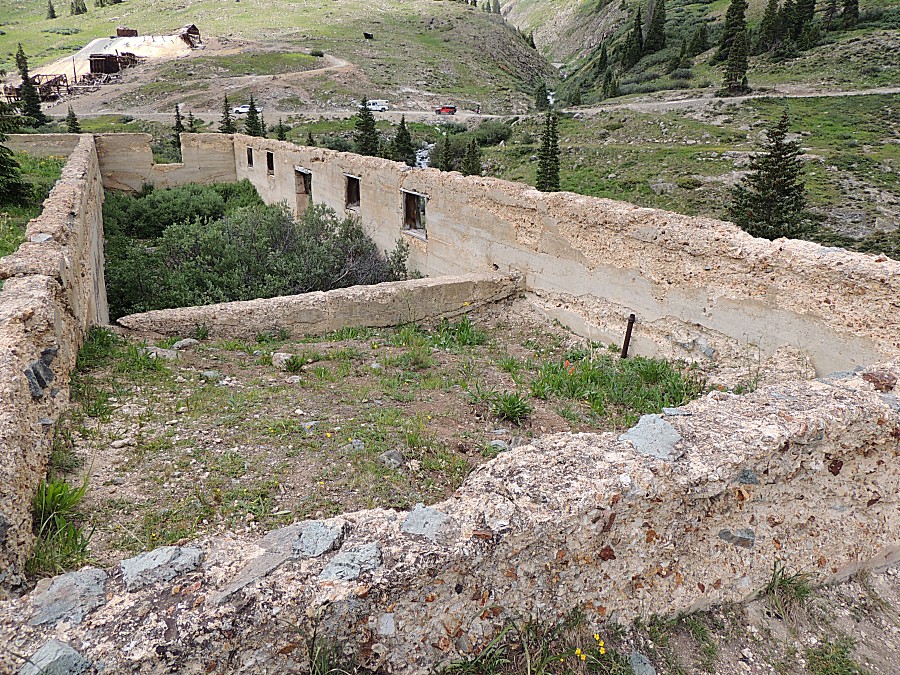
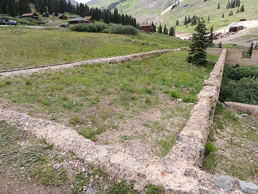
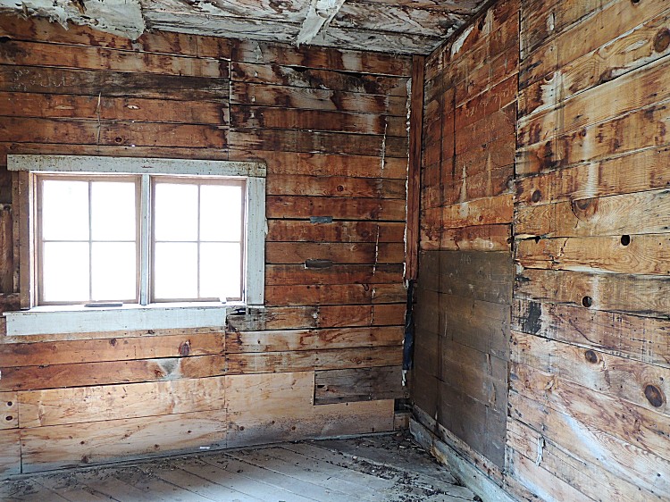
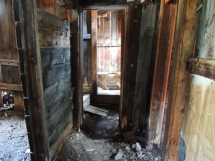
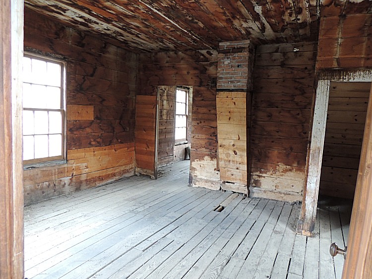
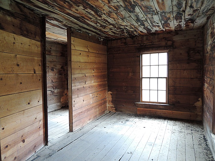
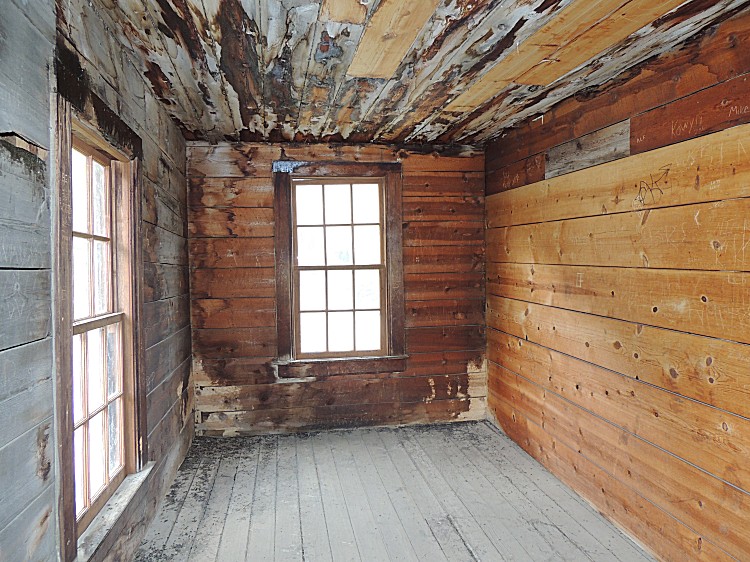
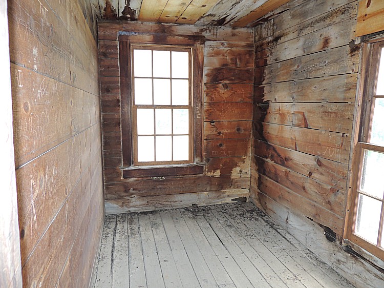
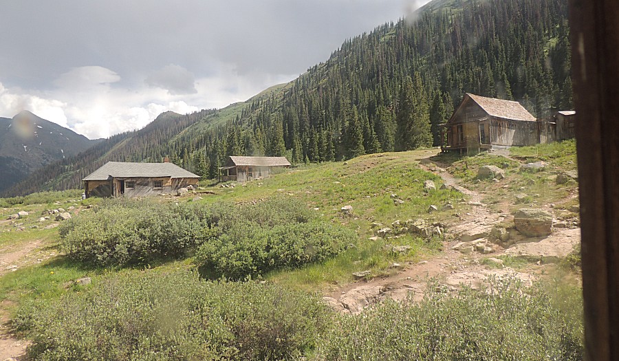
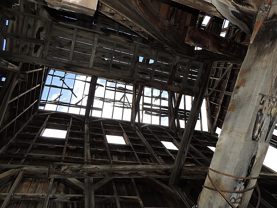
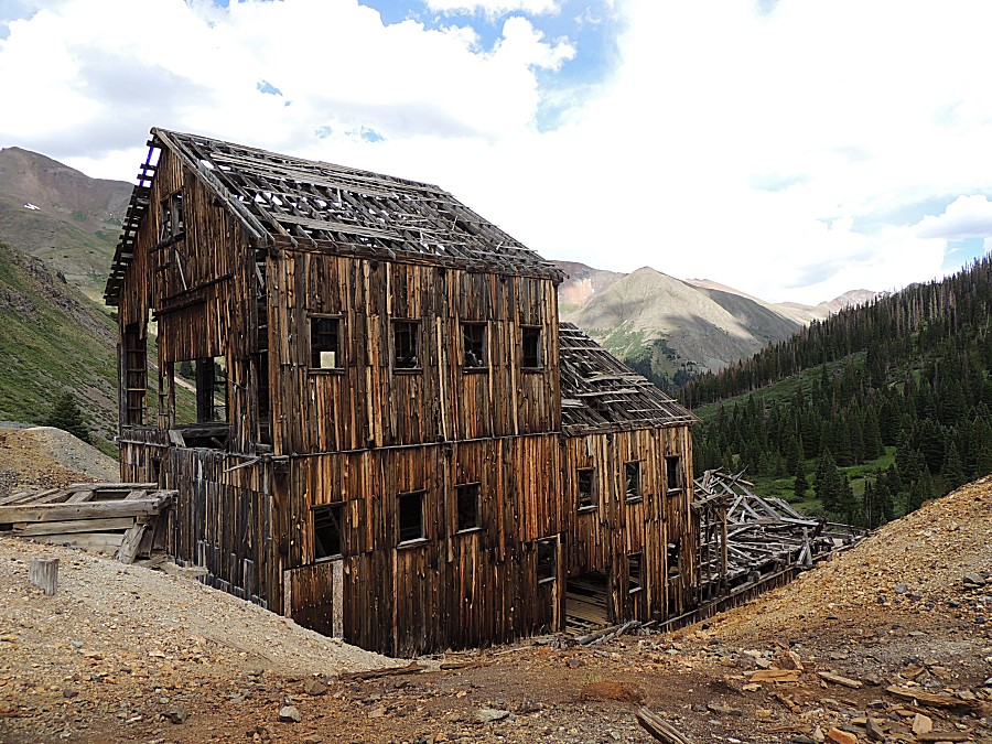
| The
Animas Forks townsite, what is standing, is trying to be saved. A large
component for the task is to keep a good roof on each building. This
roof structure is new. |
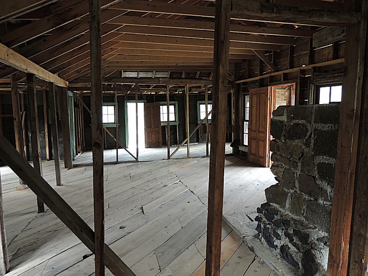

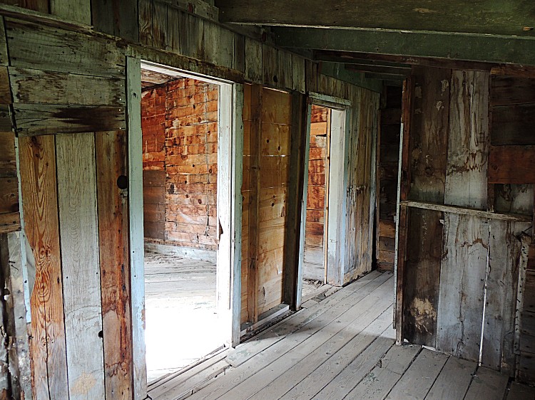
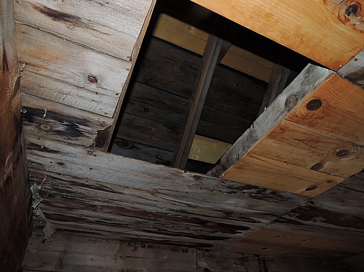
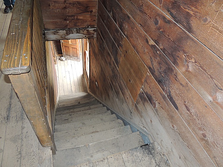
| A kitchen. The removable board(s) give access
to the under floor larder. |
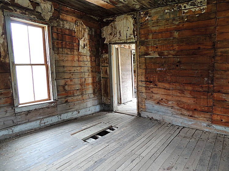
| Some view out the front door. |
| Catching the sun / clouds 'just right'. |


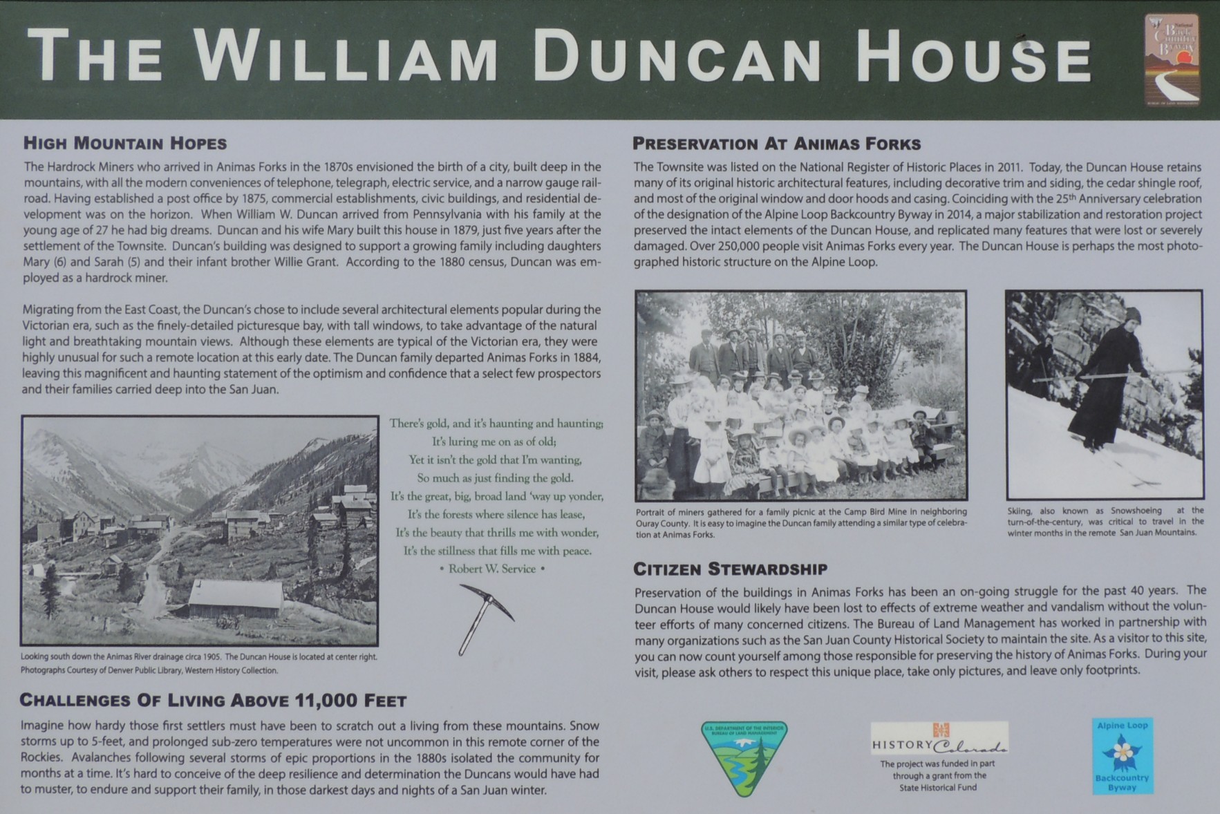
| Info sign The William Duncan House |
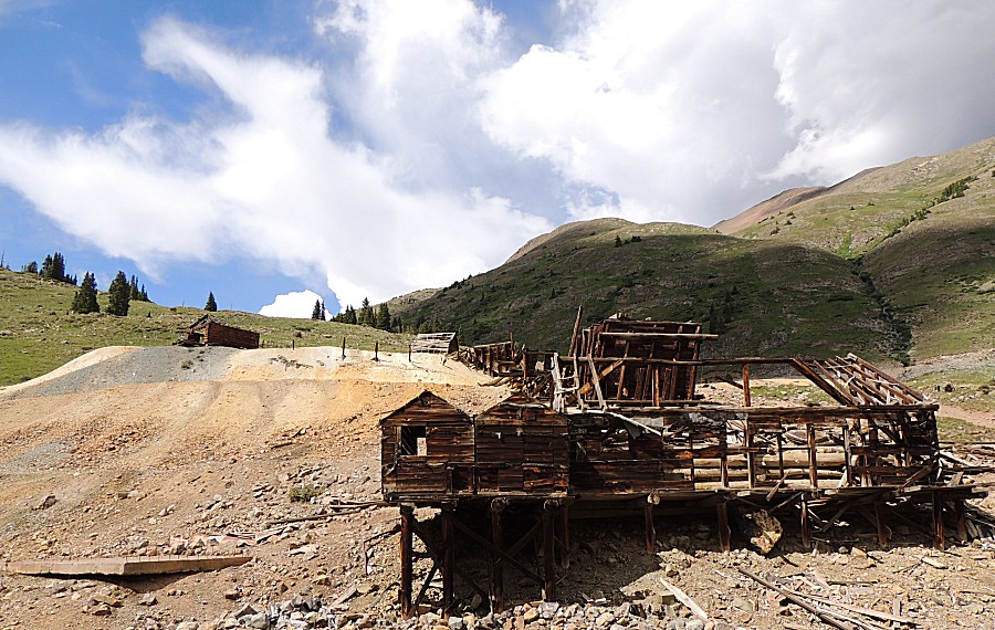
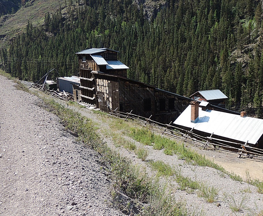
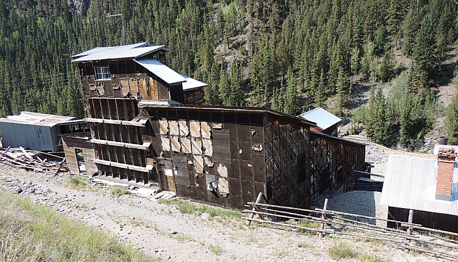
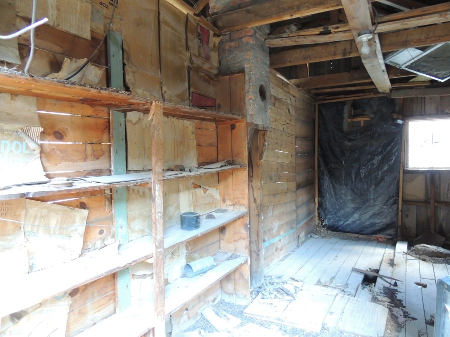
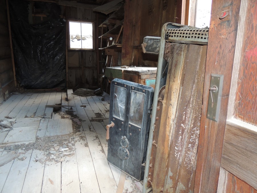
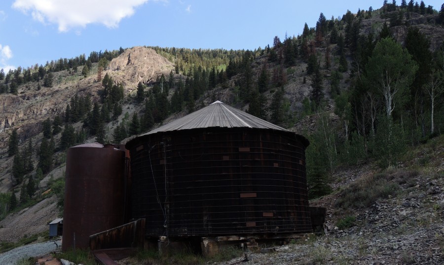
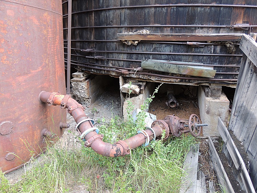
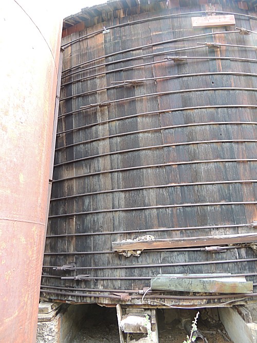
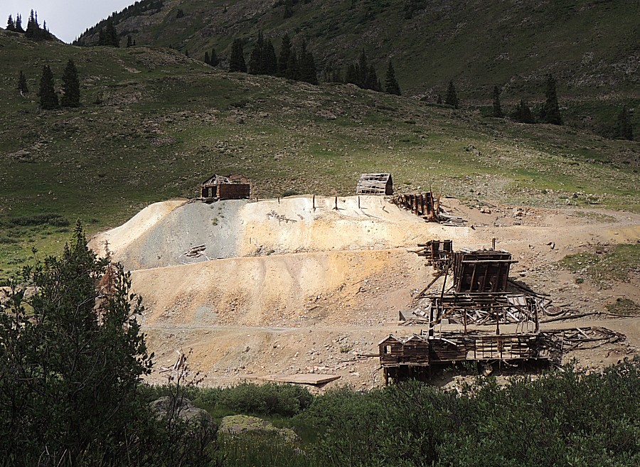
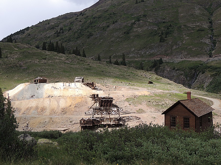
| Northwest
from Animas Forks is the
Frisco-Bagley Mill Additional info at www.HistoryColorado.org/location/frisco-bagley-mill (archive PDF) |
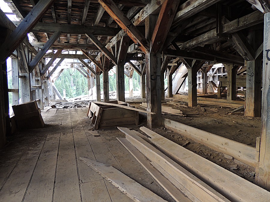
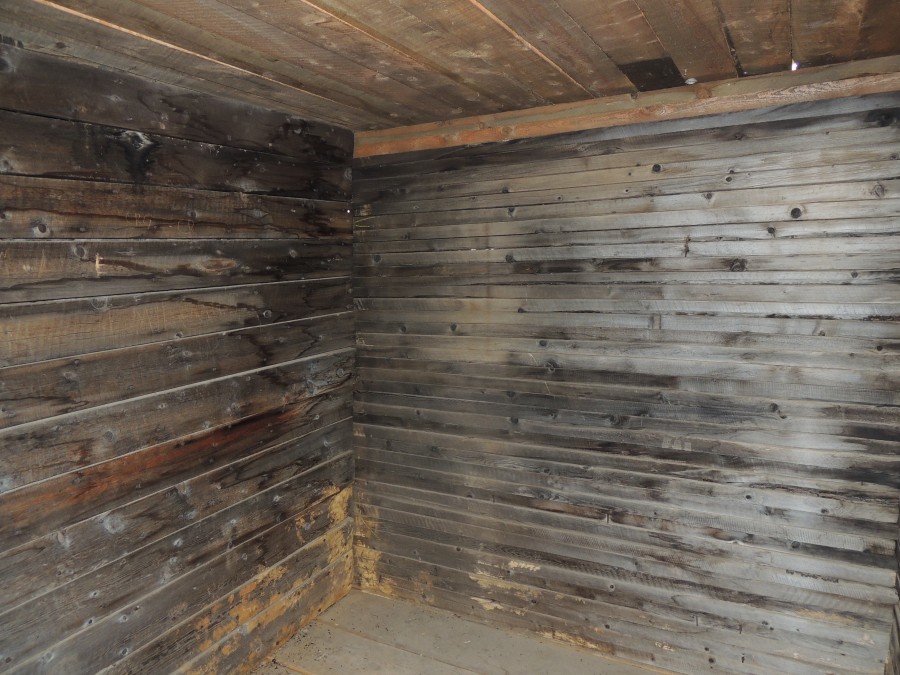
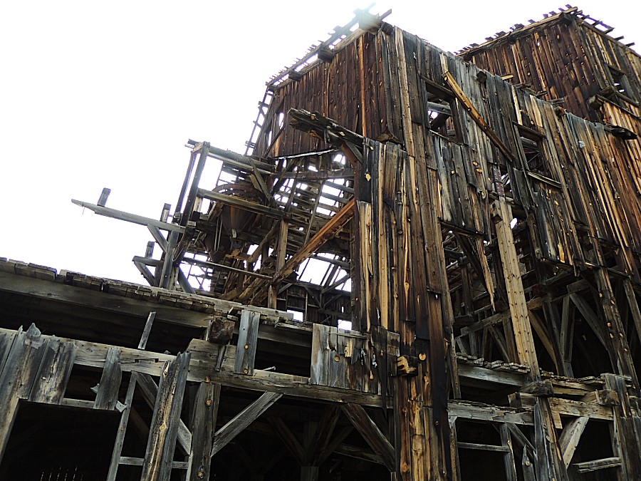
| This was a pre-fab building - the numbering
used to put the pieces back together. |
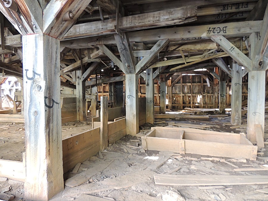
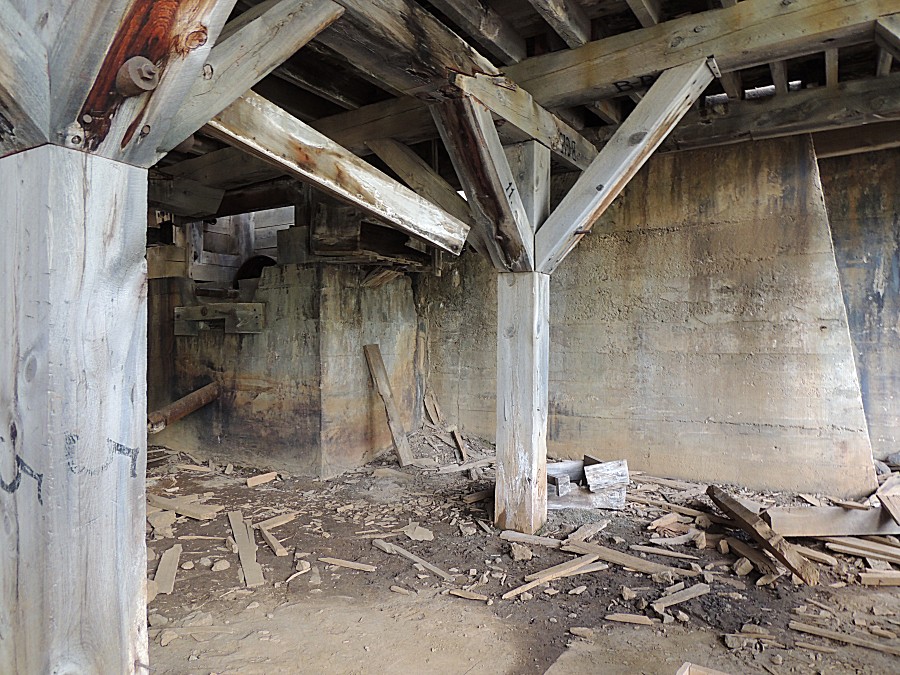

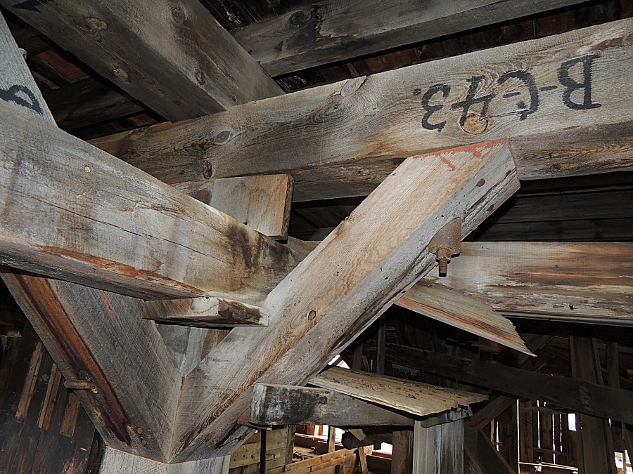
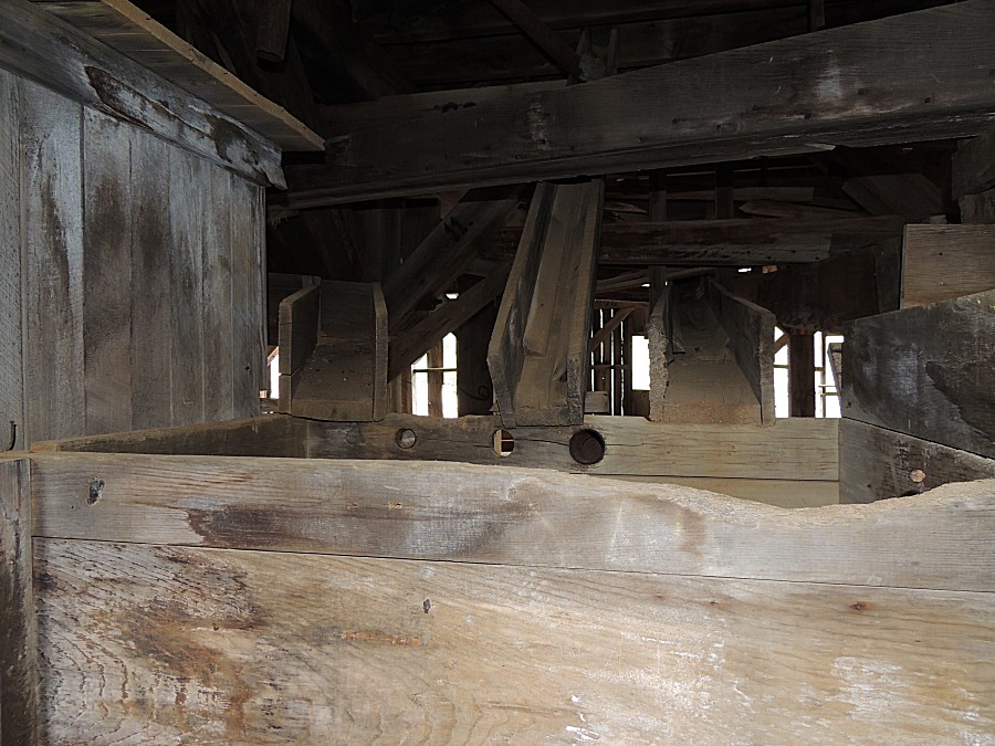
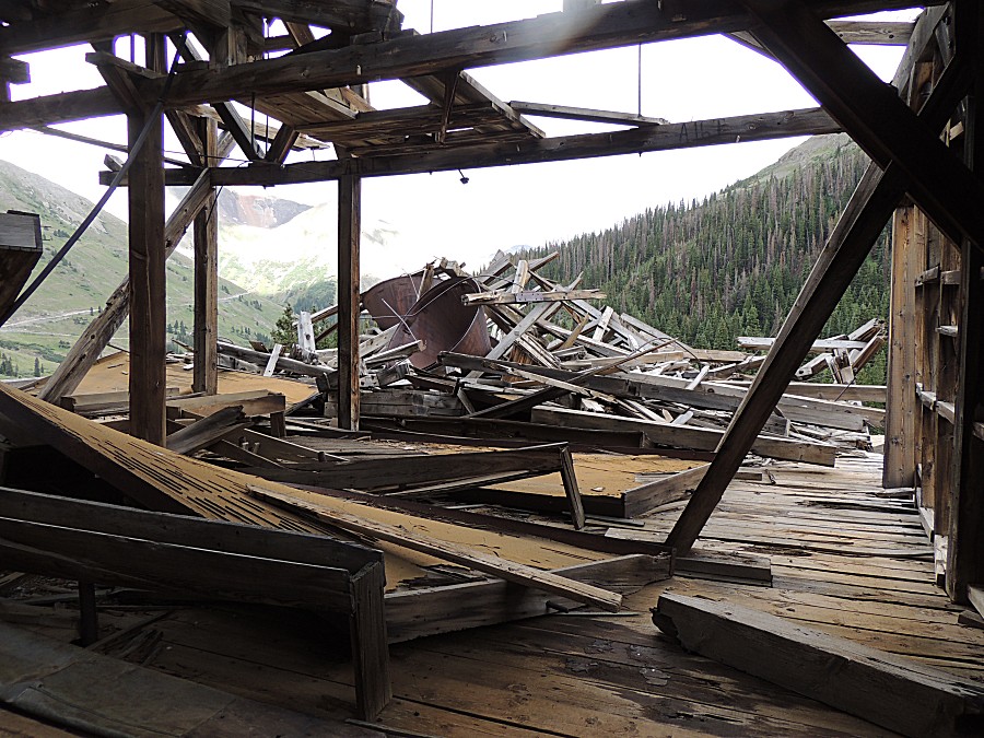
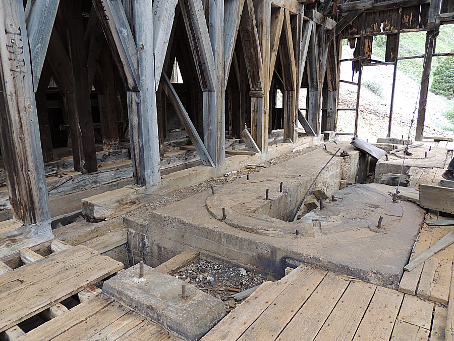
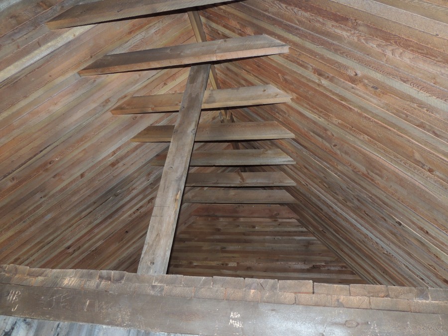
| Massive timbers |
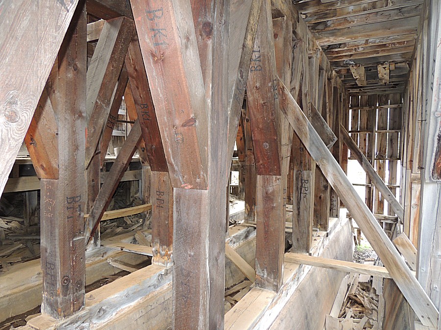
| I don't think I'd enter the building on a windy day - as a portion of the roof could get dislodged. |
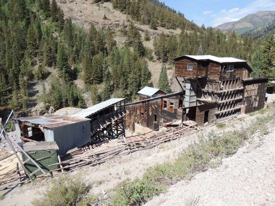
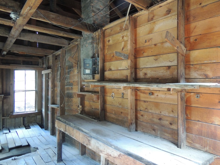
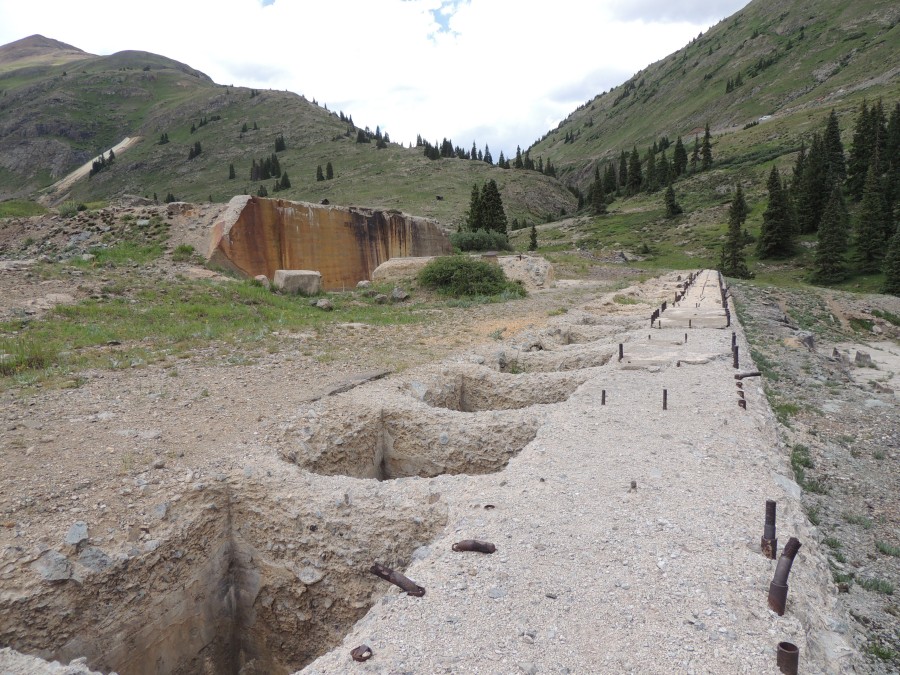
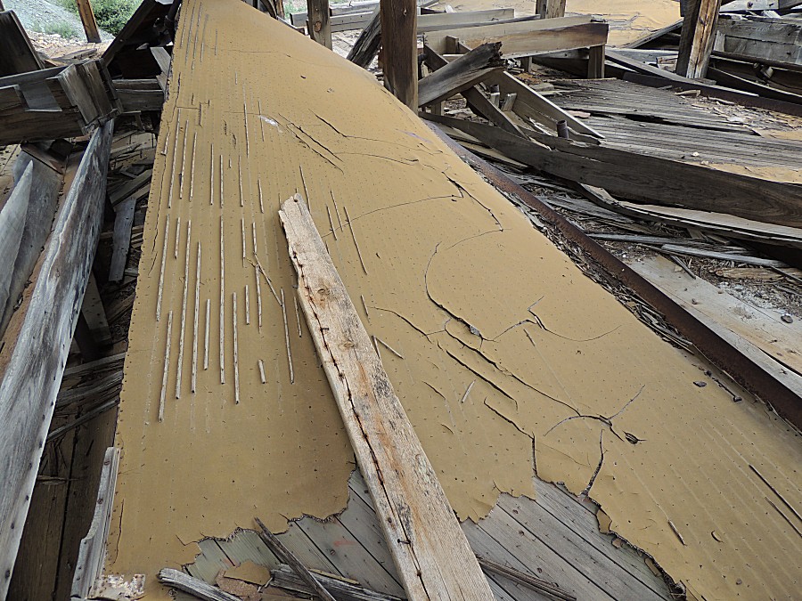
| A
table with some remaining wood strips. The table would have been
completely covered with strips like these that remain. Water / slurry
would flow over these wood strips with the heavy particles (gold!)
settling out - not able to make it over a wood strip. |
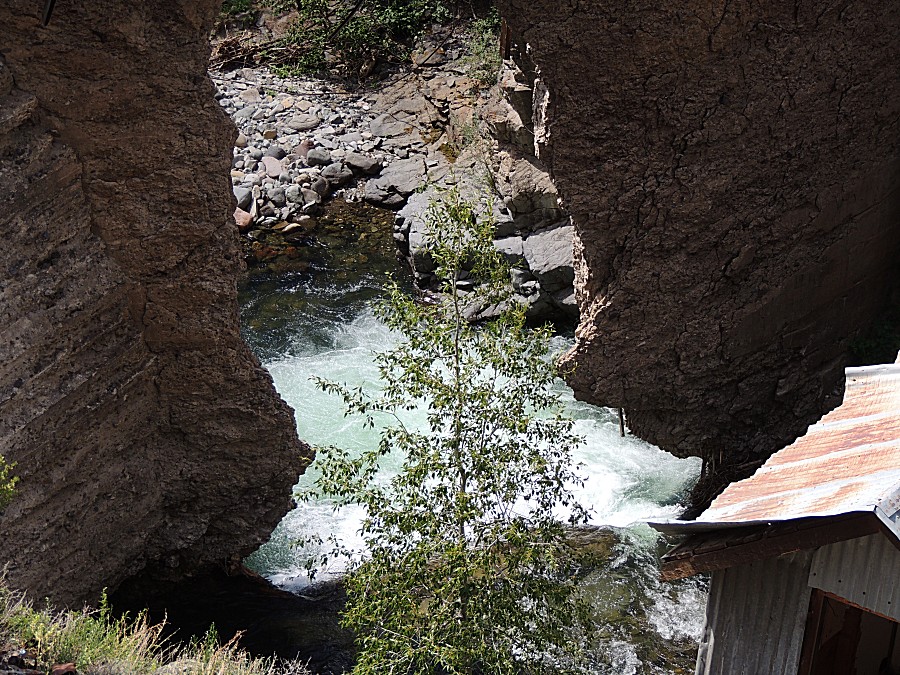
| Across the valley |
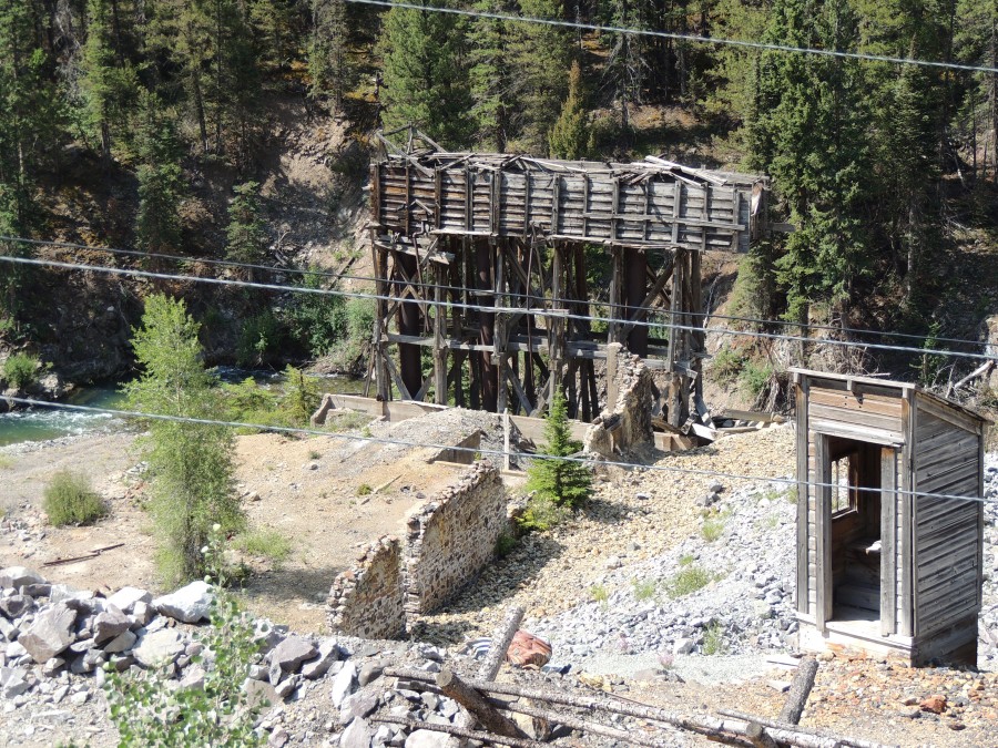
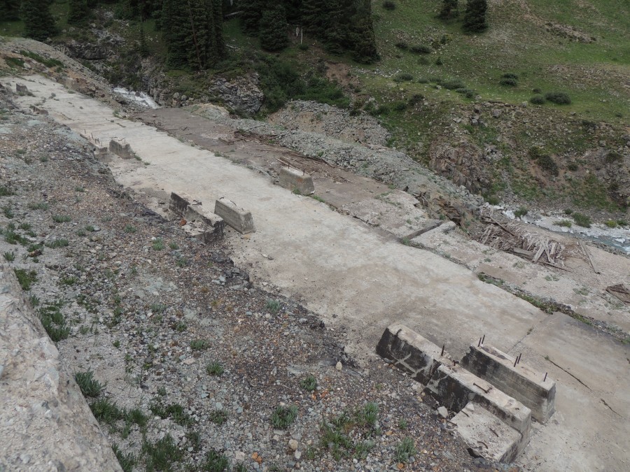
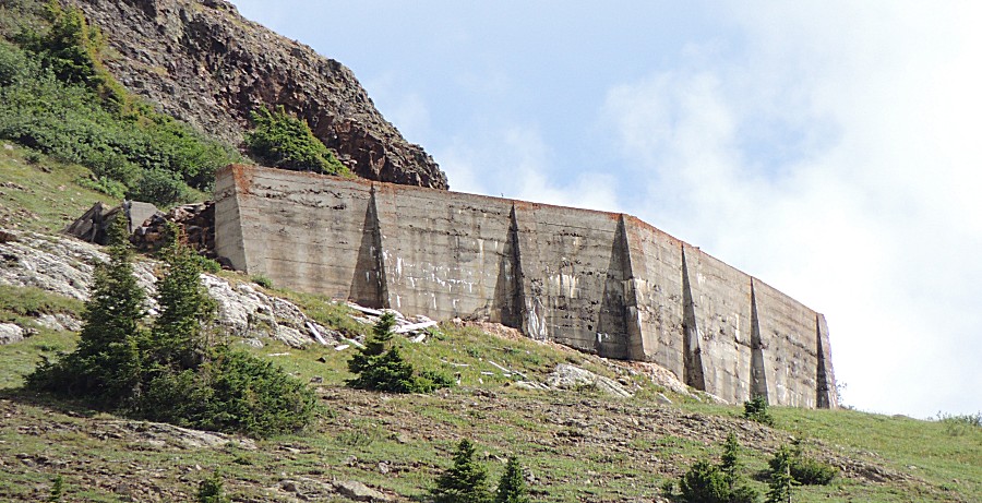
| We
noticed that there were remains from a cable-car line that extended
across the valley and way high on the mountainside. Almost out of view
was an unusual concrete structure. Viewing it via satellite, it's
mostly "just a wall". Perhaps a cable-car tower was in the earth at
this spot, held up by the wall. GPS coordinates 37.926178, -107.583532 37°55'34.2"N 107°35'00.7"W |

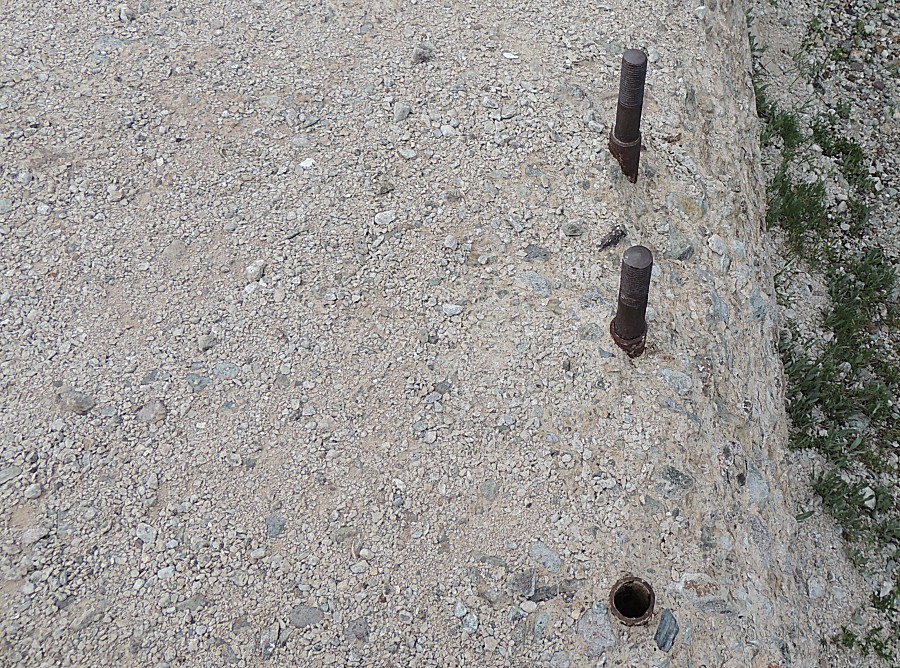
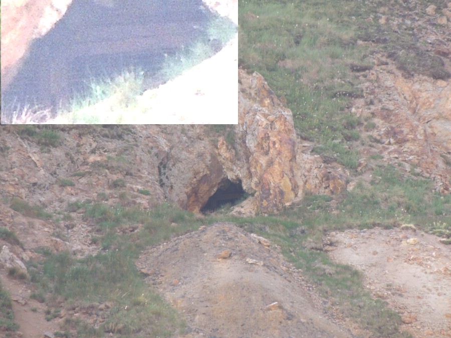
| Another fan of rock on the mountainside with a
hole above it - zooming in and lightening the image - it too is gated
and locked. |
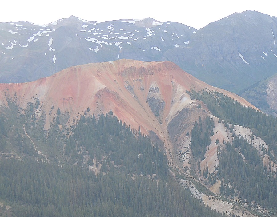
| Vibrant colors
in the afternoon sun |
| Looking down upon the valley we just traveled |
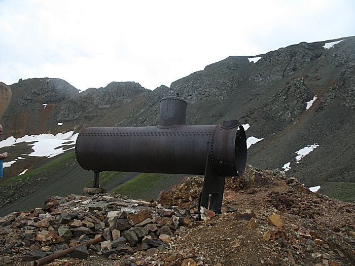
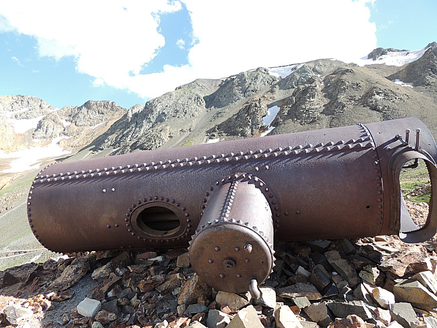
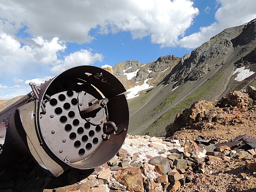
| Ken and I were here with a group back in 2015.
Then, this boiler was upright on its stand. The day's photos: www.JimWilliamson.net/automobile/2015-08-01-five-days-in-southwest-colorado/ Direct image link (there are several pictures of it in the above link) www.JimWilliamson.net/automobile/2015-08-01-five-days-in-southwest-colorado/2015-08-02--sun/img_5602.jpg |
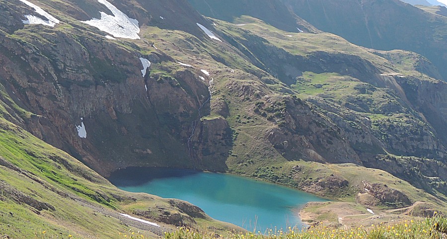
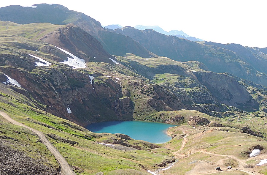
| Lake Como |
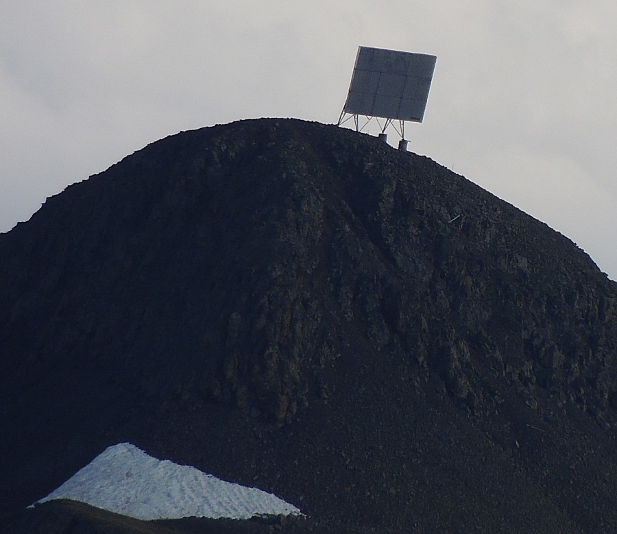
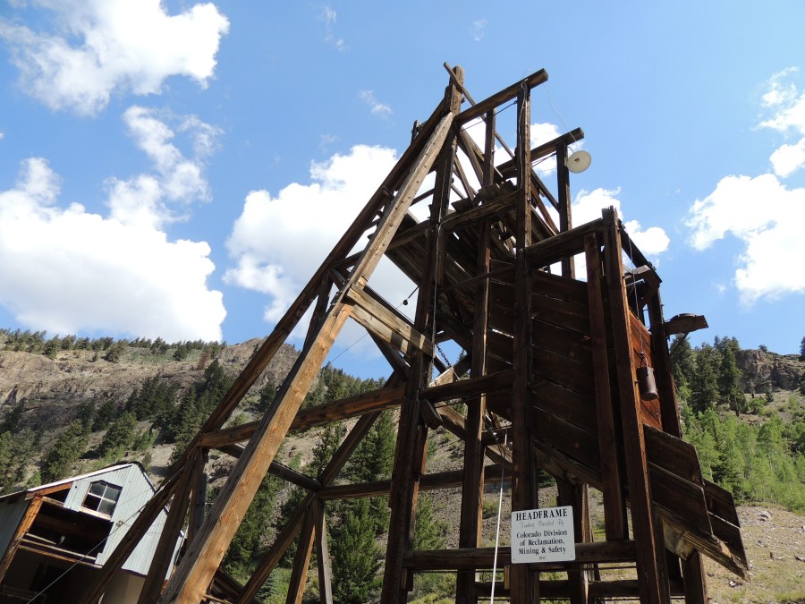
| I'd like to know what this is for. I'd think
it's a reflection board for some radio energy. Anyone know? |