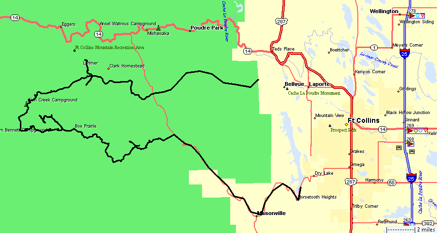
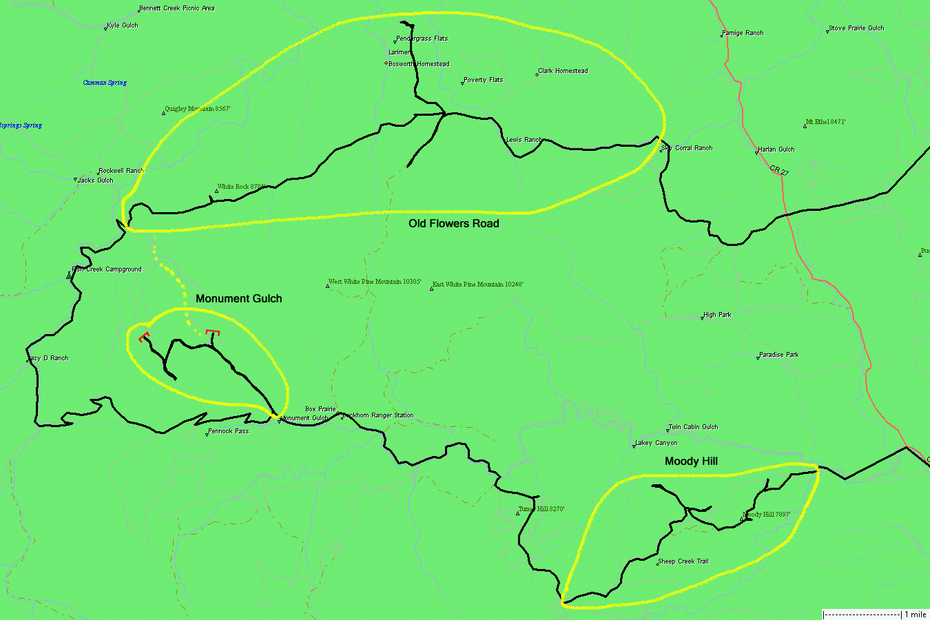
Moody Hill, Monument Gulch, Old Flowers Road
|
Meet
Tom at Masonville to travel Old Flowers Road and perhaps some other
area trail. Today is forecast to be hot - mid 90's at least. I'll run
windshield down for the day to enjoy some breeze (and occasionally
trail dust if I'm too close to Tom). Up in elevation the temps were
near perfect. There was some breeze flowing much of the day. Blue sky
with some sun-blocking clouds and no risk of rain. Both Moody Hill and
Old Flowers Road had a few others out. Monument Gulch - it's no longer
a thru-trail (private property presented us with locked gates) so it's
scantly traveled - noone else encountered there. |
|
At
Monument Gulch we rolled the dice to see if it was open to Old Flowers
- nope. The two red marks are locked gates. There's a mix of private
property / public forest lands. |
|
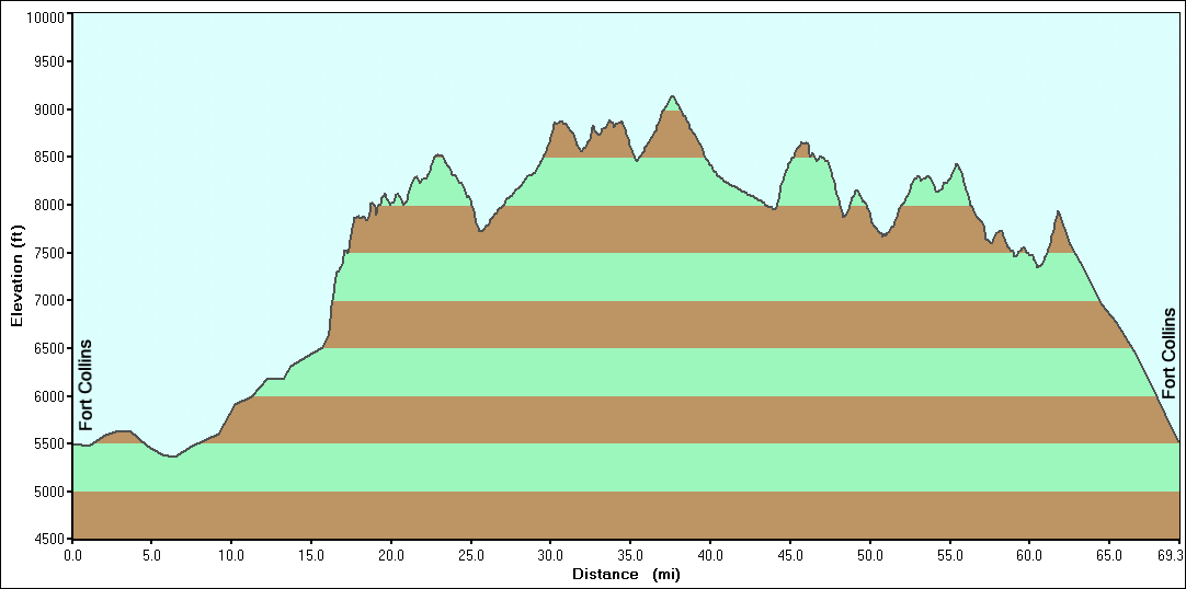
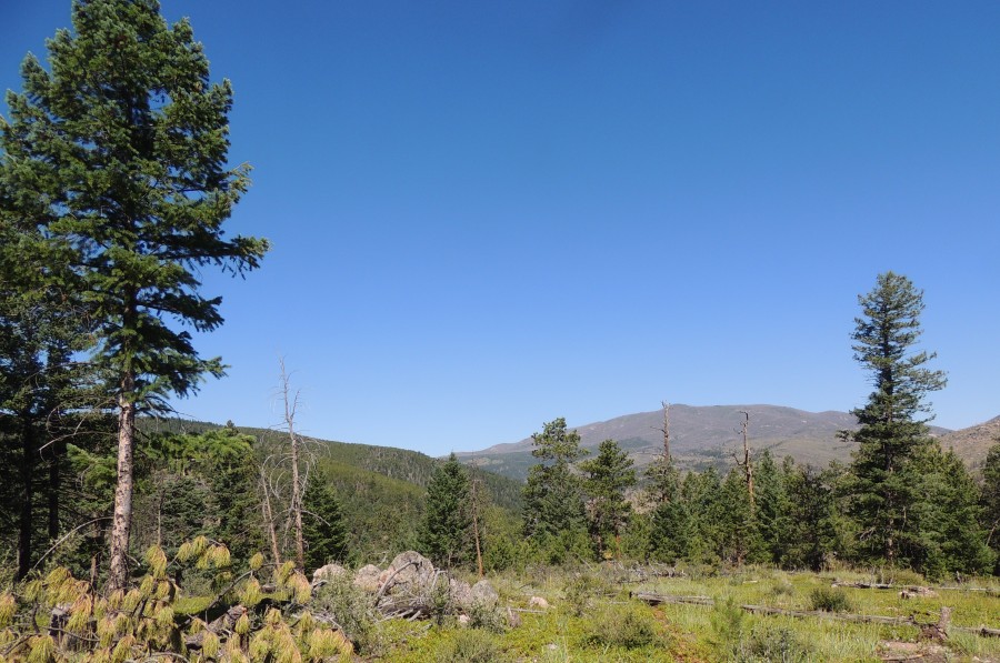
Not super high in elevation today - but enough to provide cooler temps! |
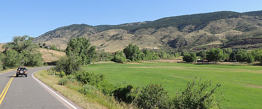
| Heading towards Masonville to meet Tom |
| Heading north from Masonville to county road 44H and the trailhead for Moody Hill. |
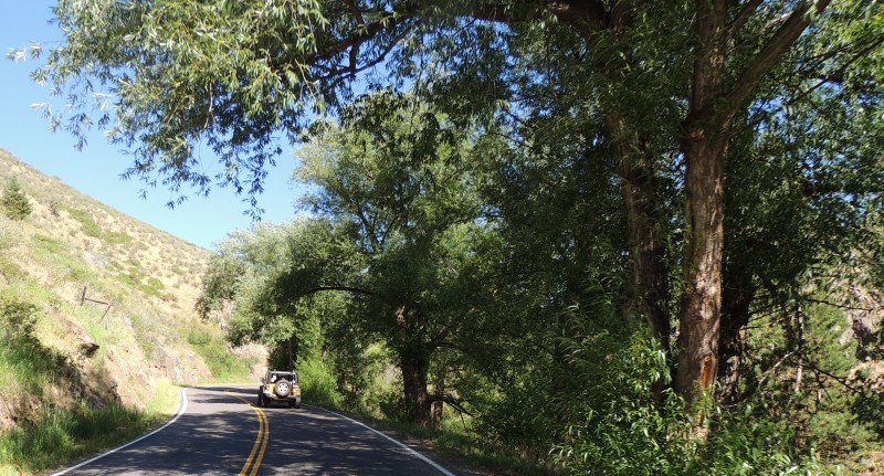
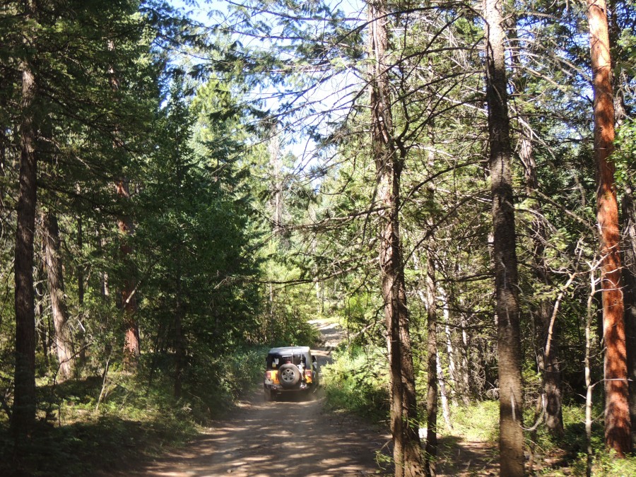
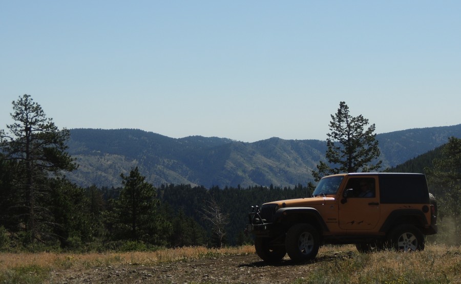
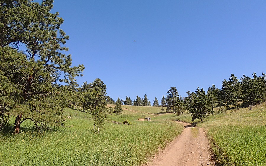
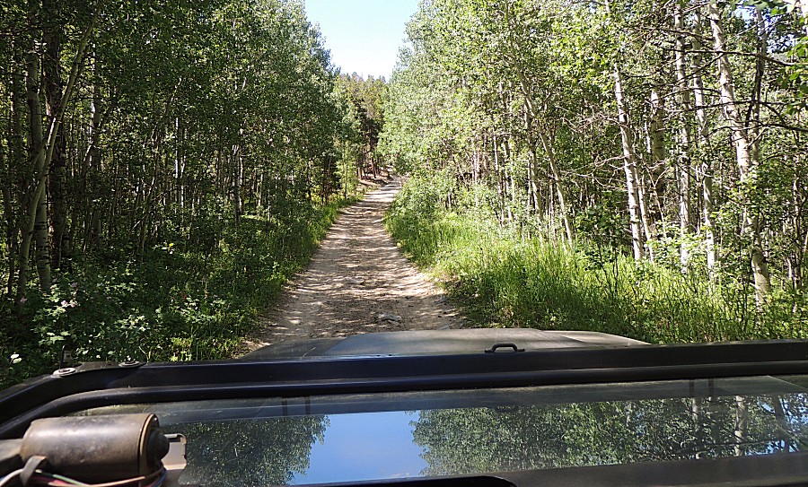
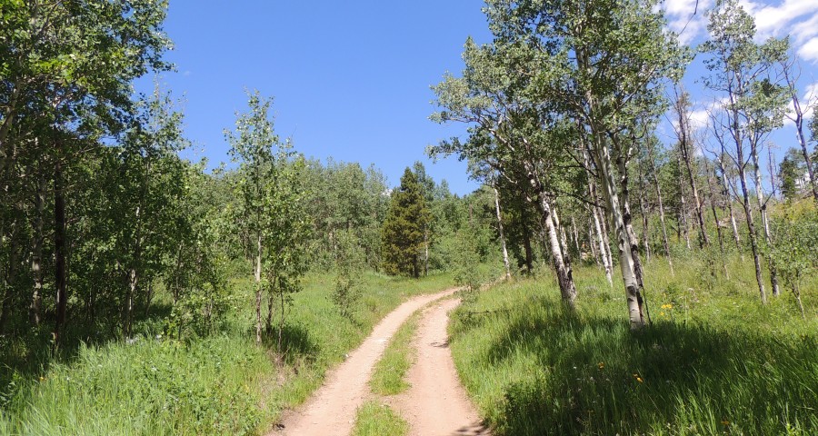
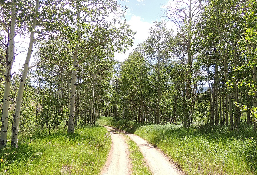
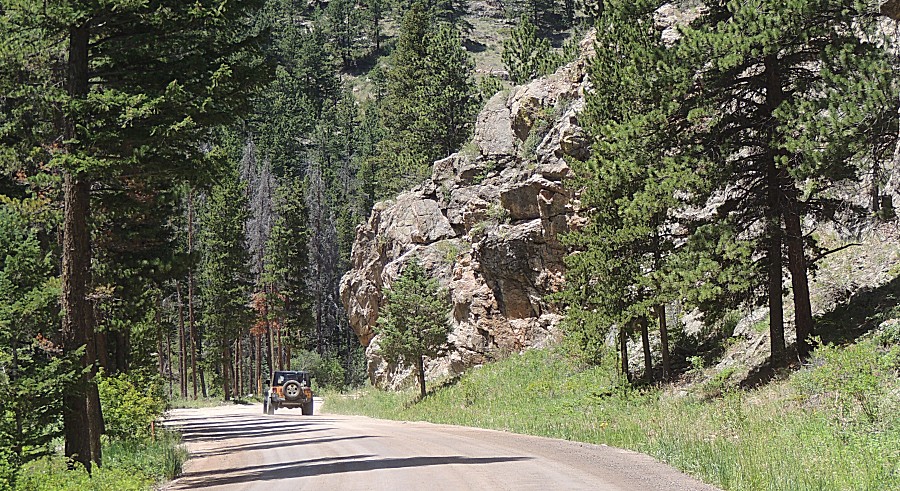
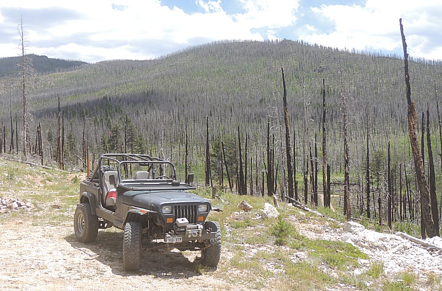
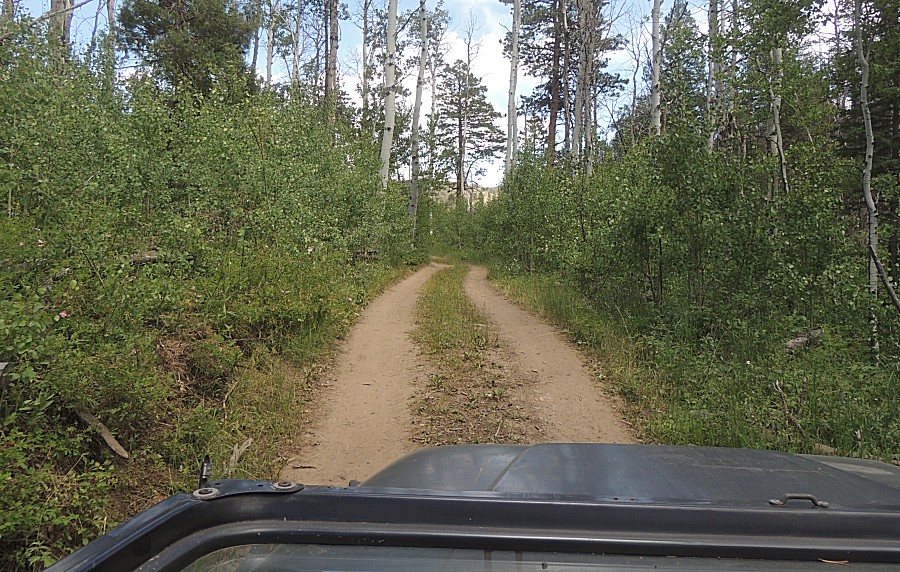
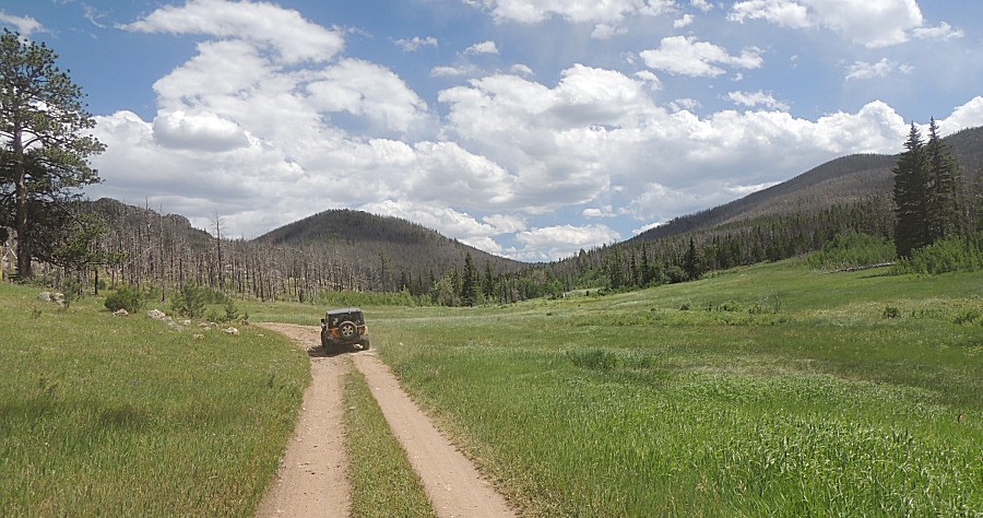
| On Moody Hill |
| One of the campsites - the first "on the right" entering from 44H |
| At the Moody Hill campsite pullout (the first on the left) |
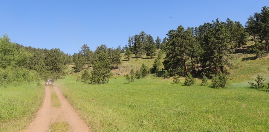
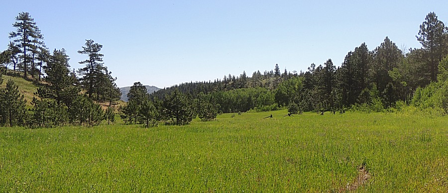
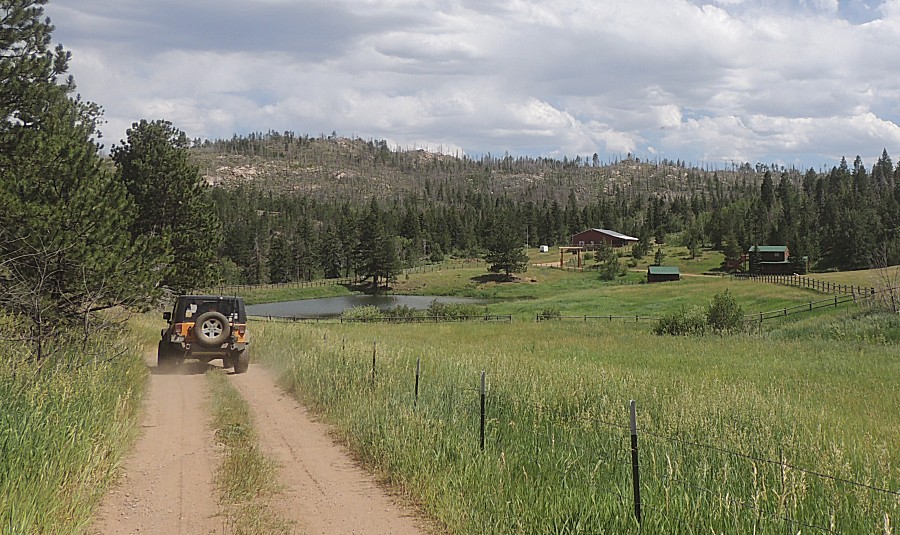
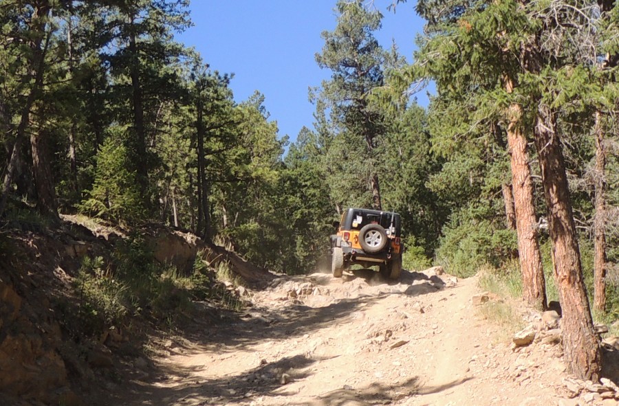
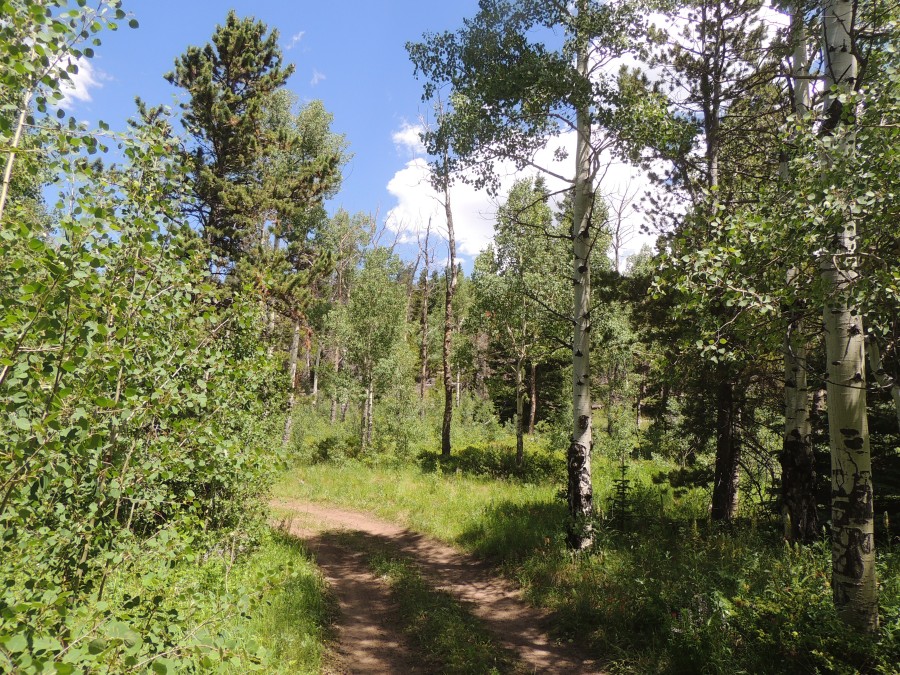
| Things are GREEN. We encountered perhaps ten water crossings (small things - but water is still flowing) |
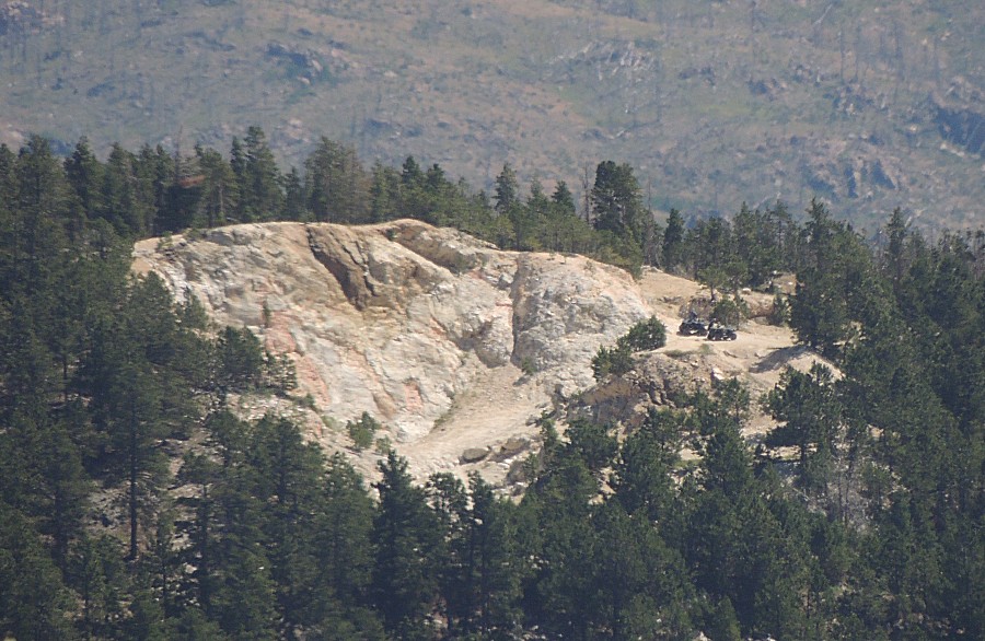
| Off
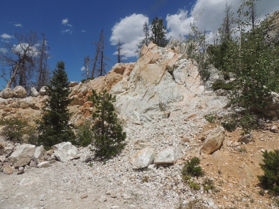
of Moody Hill - heading north through the (?Crystal Mountain?) housing
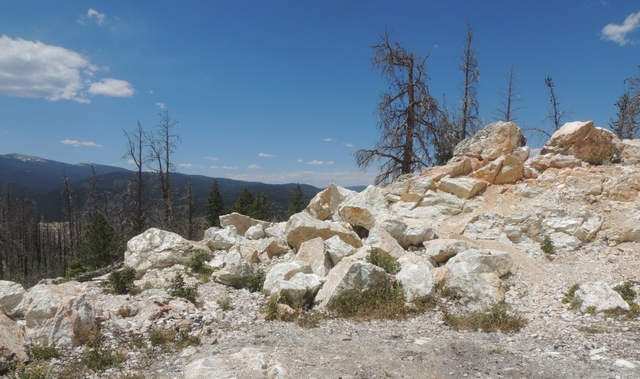
development. Zooming to the quarry area of Moody - a couple quads
checking the area GPS: 40.567953, -105.390566 |
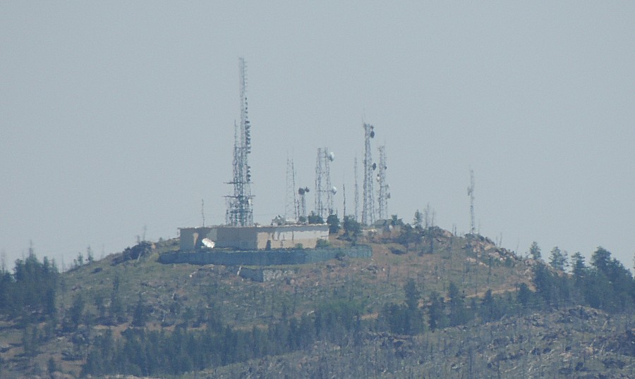
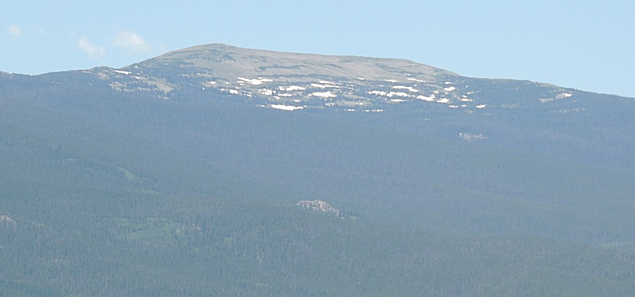
| Also zooming to the antenna complex GPS: 40.617043,-105.330058 Camera position for the two photos - about here: GPS: 40.553171, -105.421594 |
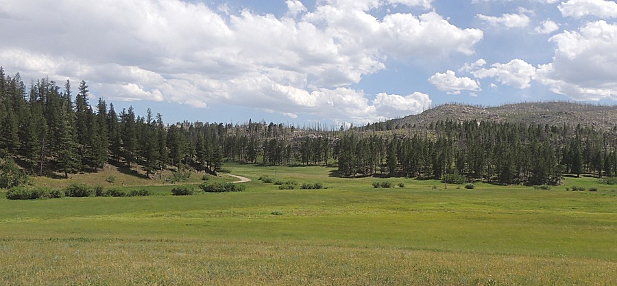
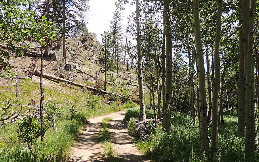
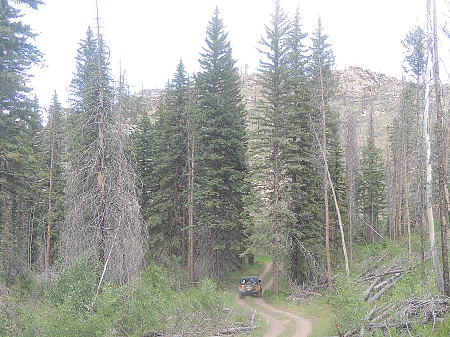
| Starting Monument Gulch |
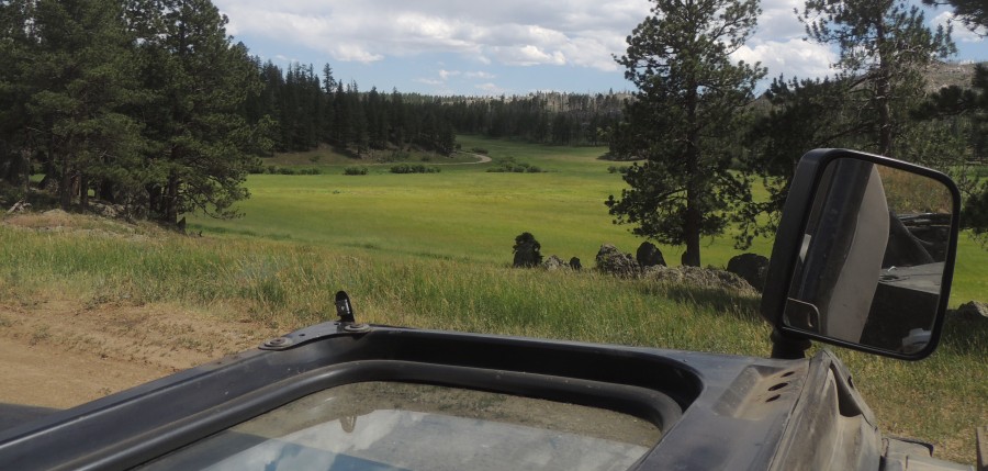
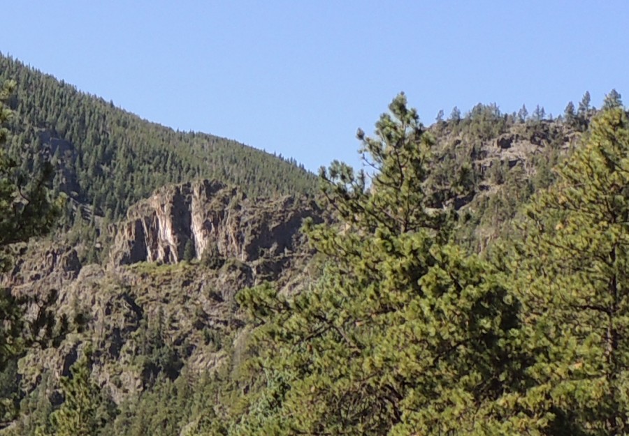
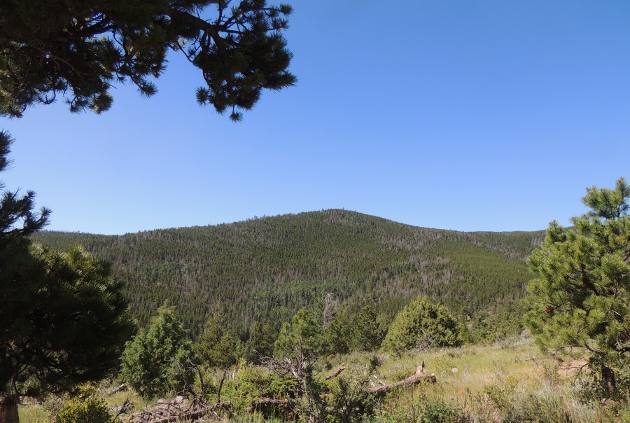
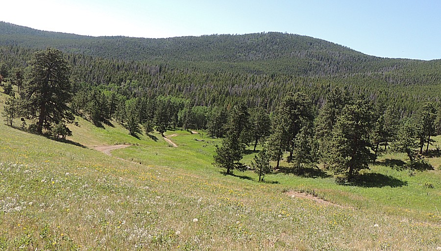
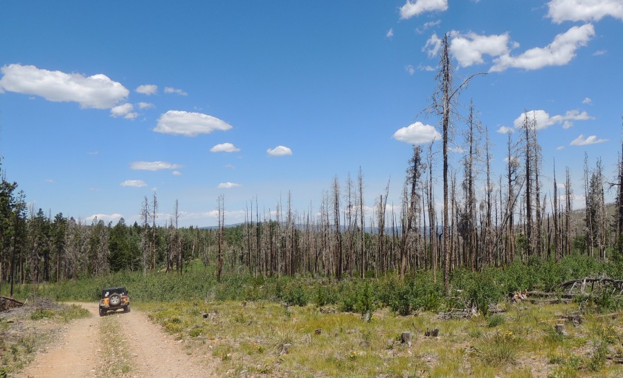
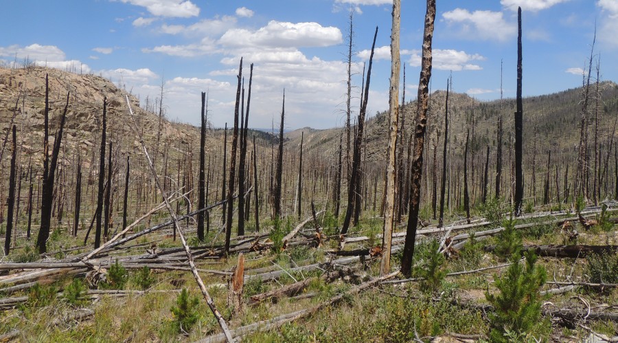
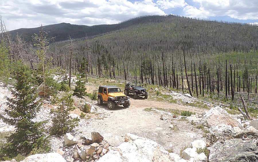
| To the east of the forest road is the High Park burn area - to the west - mostly unburned forest |
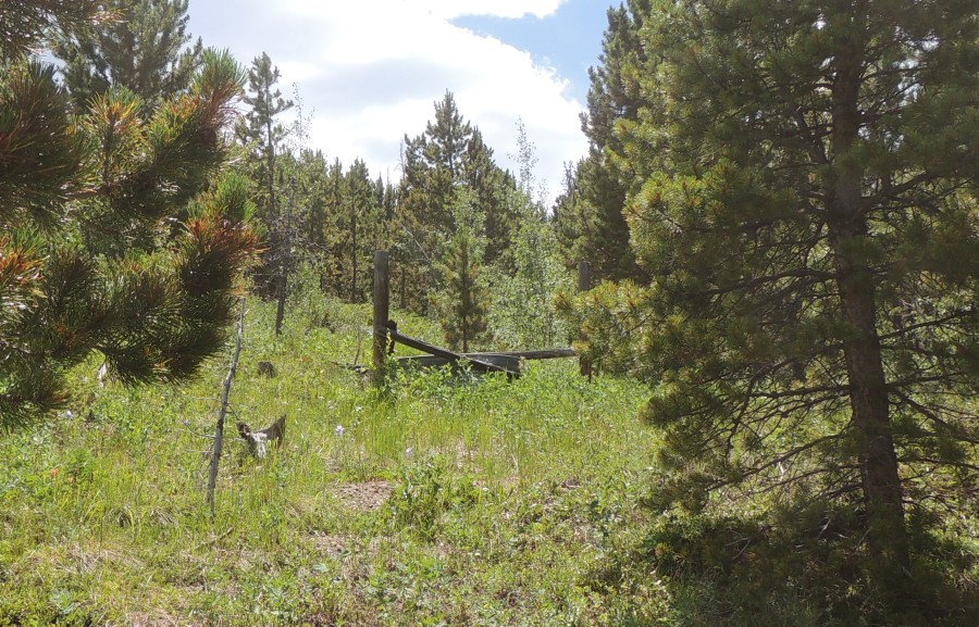
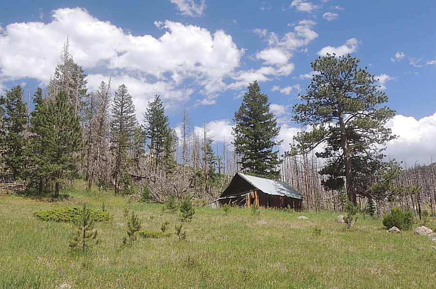
| On
the way in I caught a wooden structure and metal tank up the hill from
the road. A water catch - would there be any water in it? |
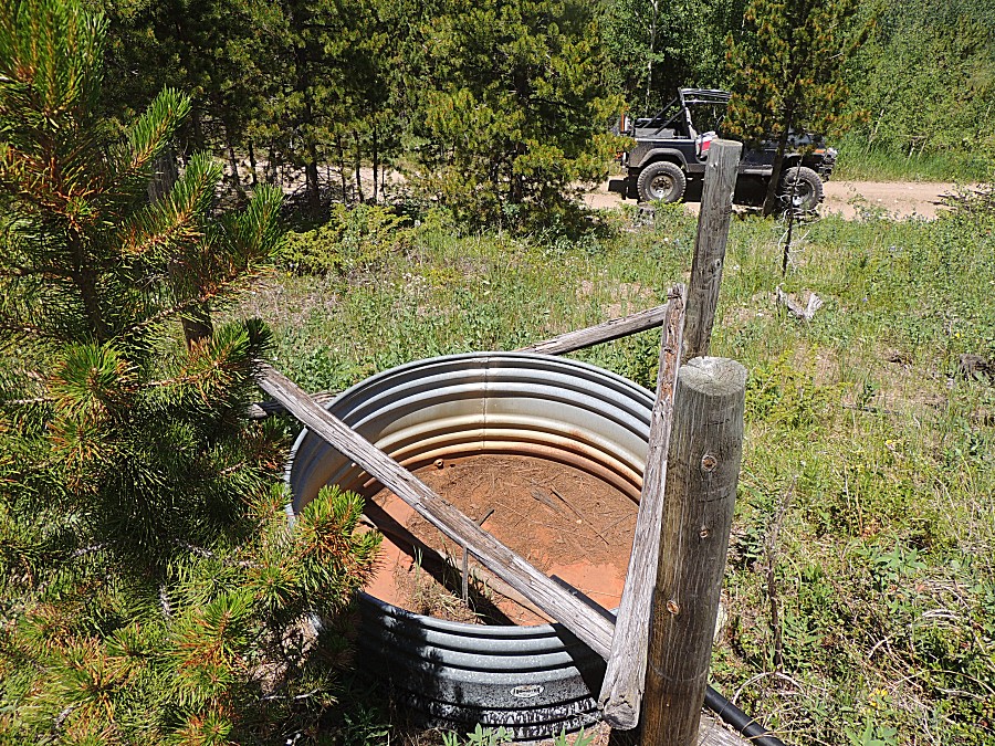
| Nope.
It had a black hose that was set to fill it with water. We followed the
hose uphill 20' - it ended at another of the same type of devices - it
too dry - though the area does have some water around as the grass was
thick. |
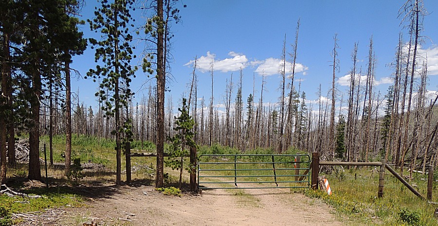
| The second of the Monument Gulch gates - turning back to head down to 44H to take county roads to Old Flowers Road. |
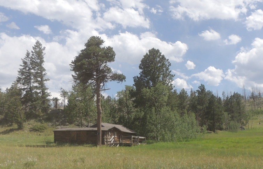
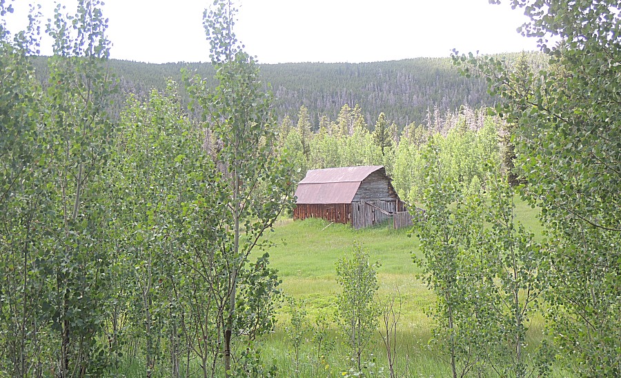
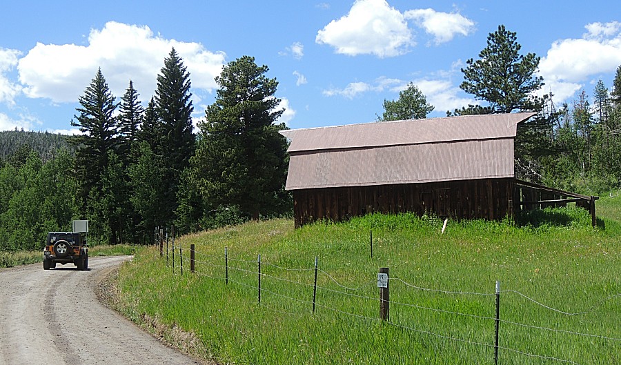
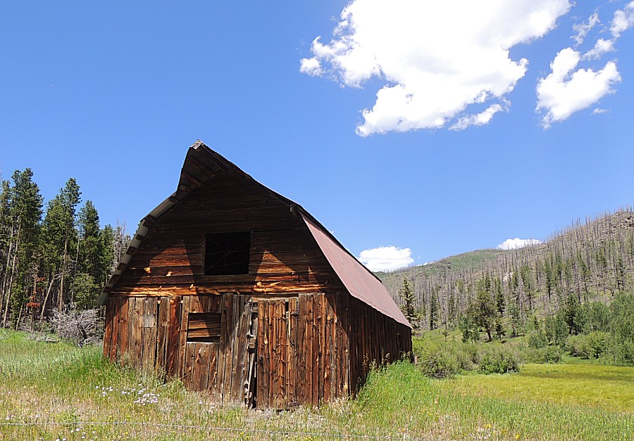
| A local barn that reminds me of the iconic Moulton barn near Jackson Hole WY / Grand Teton National Park. |
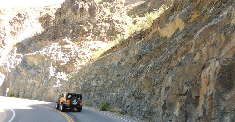
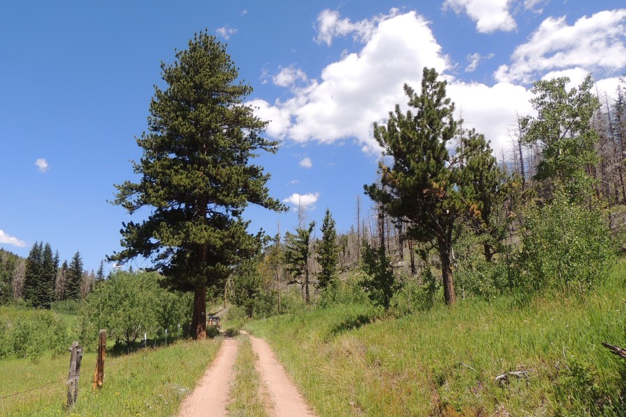
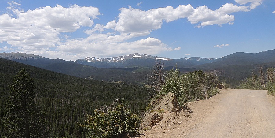
| Just west of Pennock Pass |
| Heading
north on 63E to the western trailhead for Old Flowers Road and the
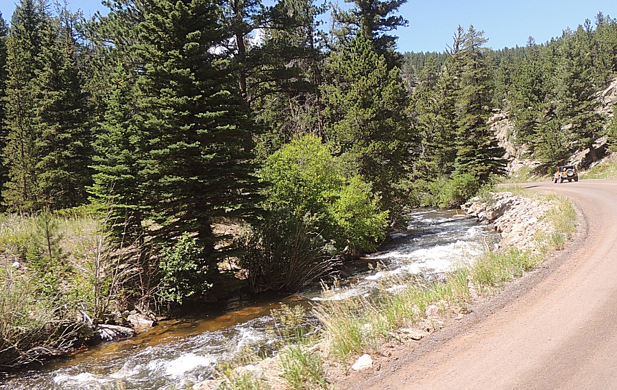
gated Monument Gulch trail. South fork of the Cache LaPoudre River |
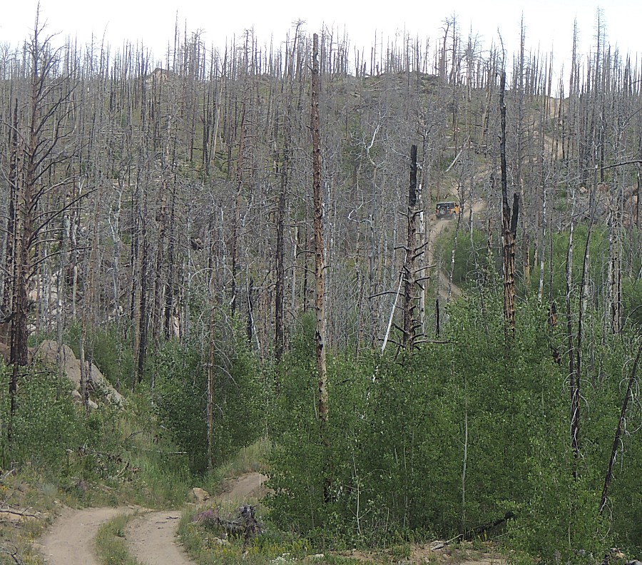
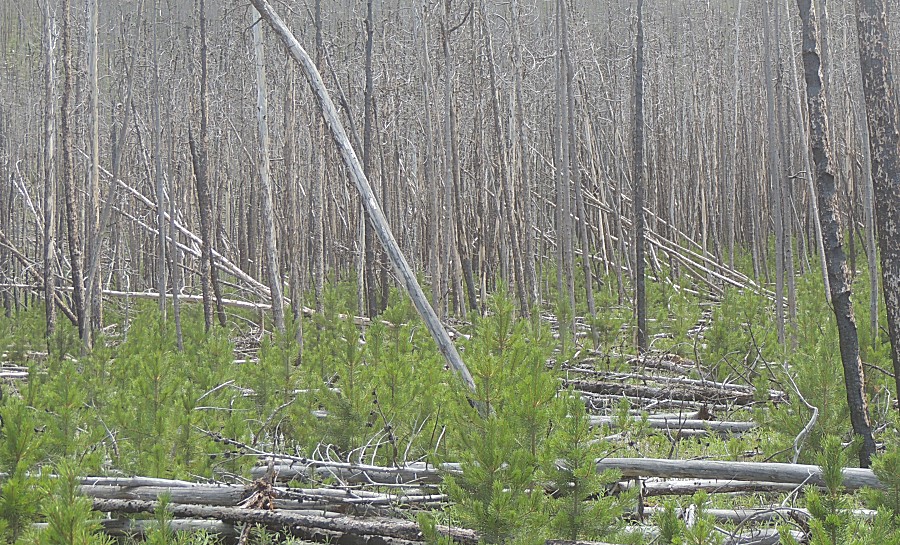
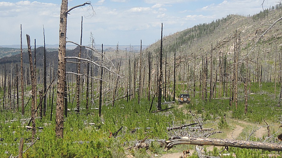
| Extensive High Park Fire burn area. Cause - lightning. June 2012. |
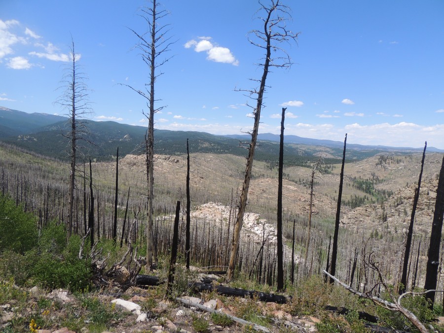
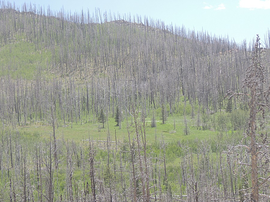
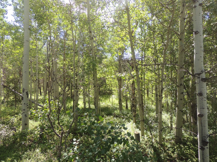
| New growth. |
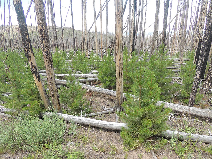
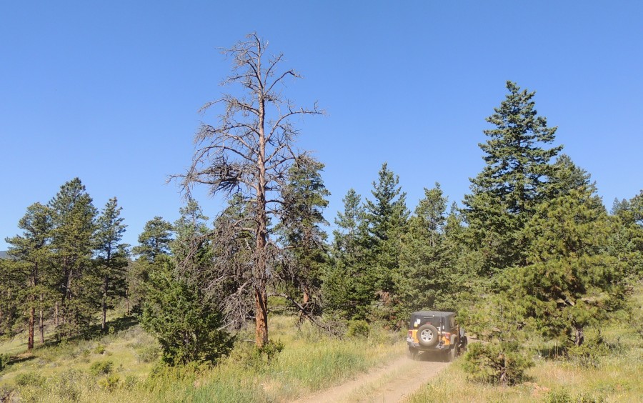
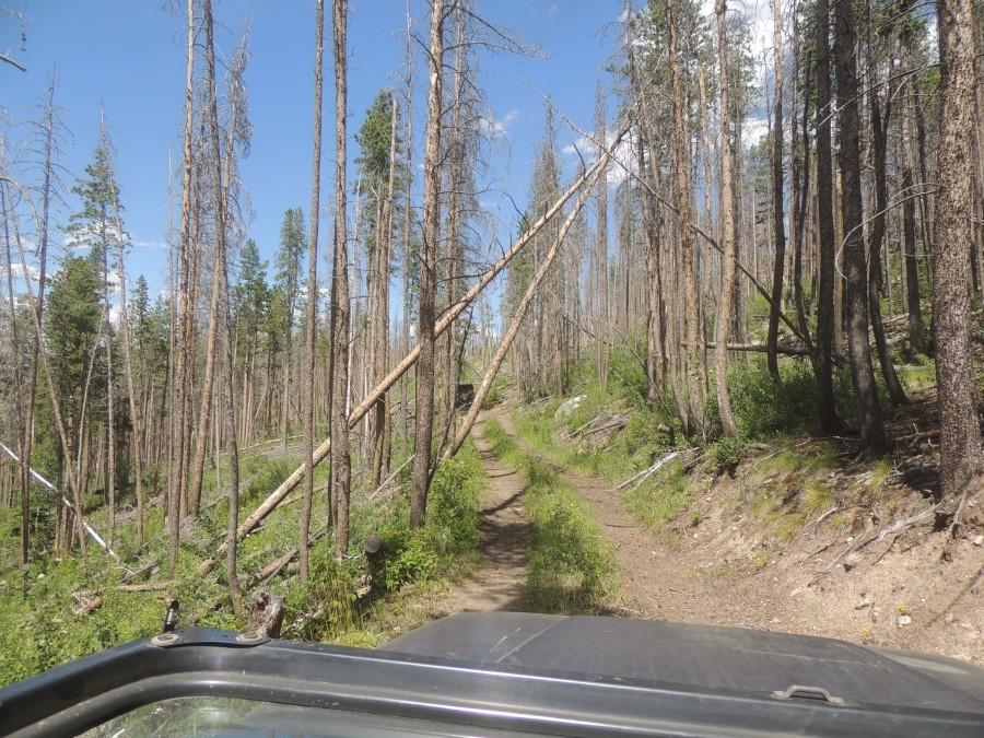
| deadfall / blow-down trees |
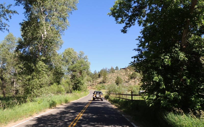
| The eastern end of Old Flowers Road |