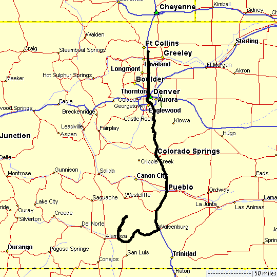
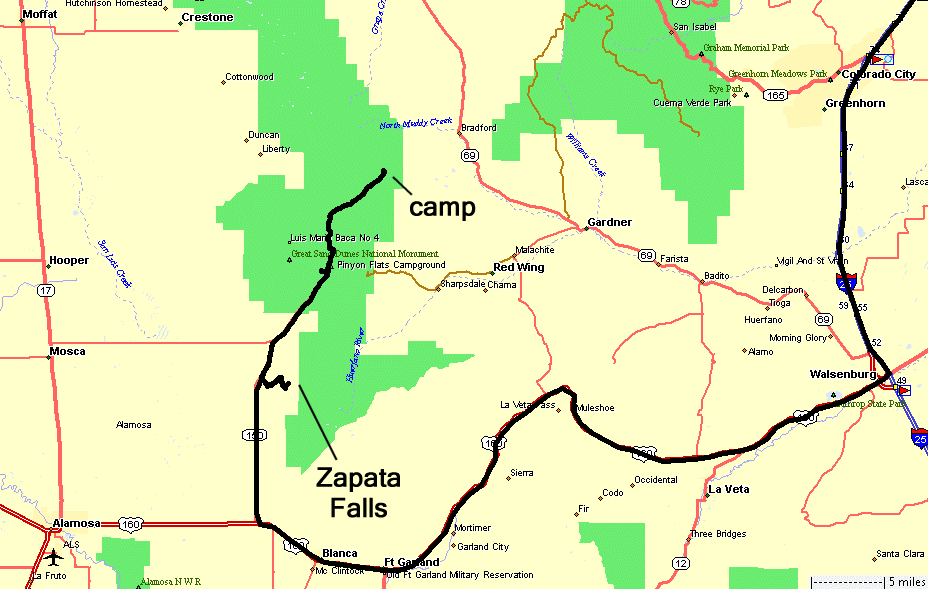
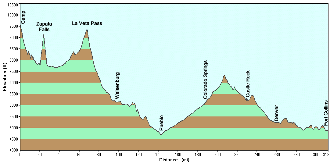
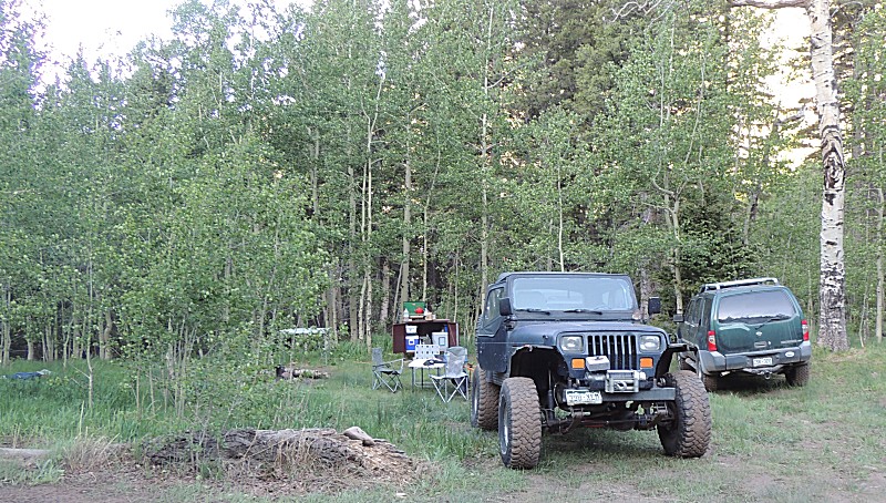
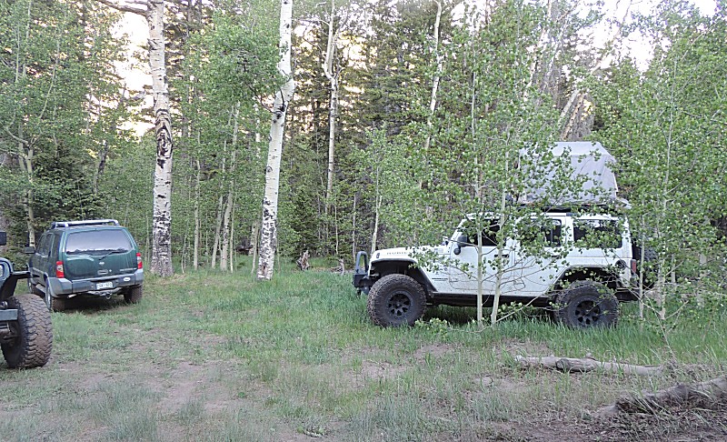
Medano Pass, Great Sand Dunes, Zapata Falls
| The
three other vehicles in the group decided to head back the way they
came - up and over Medano Pass and back to asphalt - it was the
quickest route home. I had an empty day and Zapata Falls was on the
list for this trip - I'll head back to the sand dunes and then jump
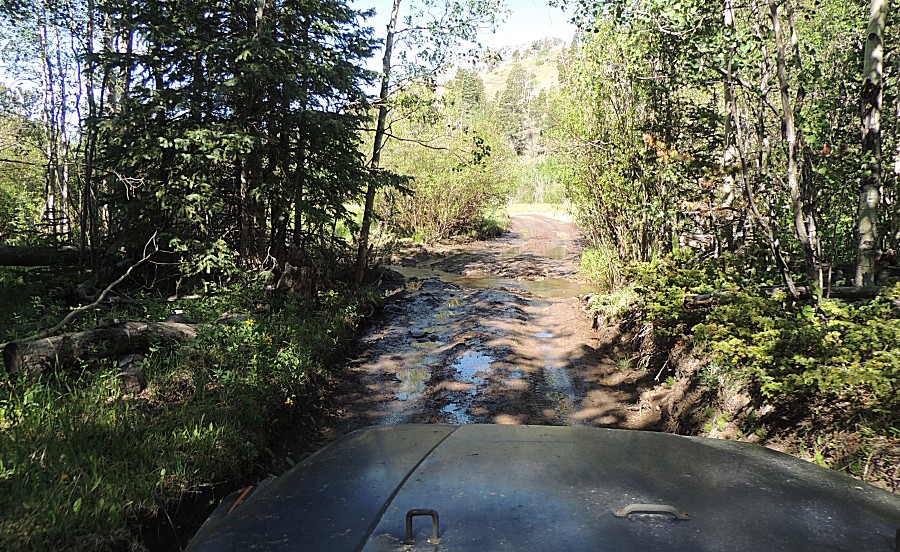
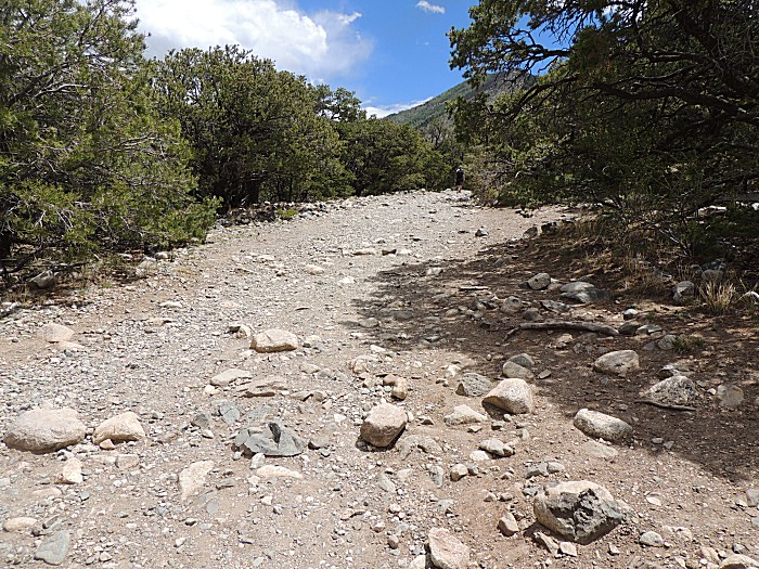
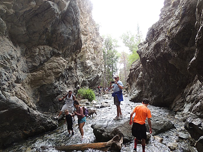
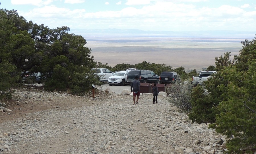
south to the falls. The "bad road" from the asphalt highway to the falls parking lot is 3.5 miles long and is noted as being BAD. It IS BAD - it's glacial moraine - grape fruit, and orange sized rocks embedded into the soil. Some people parked at an open area near the highway to hike up to the falls (3.5 miles & ~2300 feet elevation of bad road plus 1/2 mile & 400 feet elevation for the trail). At 12mph the jeep was the quickest vehicle on the road. It was hard at 30PSI in the tires. I lost one (of the two) exhaust manifold to exhaust pipe nuts. The jeep was a bit more noisy when I parked it. The hike to the falls was more of the "bad road" moraine though the hike was not overly long or strenuous. Getting near the falls the air cooled nicely - a treat in itself for the walk. To get to the falls you need to walk in the rocky stream - some folks tried to stay dry and were picking routes on the exposed rocks while others embraced the wet and COLD water. My waterproof boots made life easy - warm and dry. Out from the falls I dropped tire pressure down to 10PSI. The 3.5 miles at 20MPH were quite smooth and relaxing - something I'd do again. From getting back to asphalt the goal was fuel at Blanca and process miles to home. I traveled US-160 over La Veta Pass a few years back - but it was after dark - so this daylight visit would be enjoyed. |
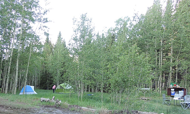
| Camp.
I have taken my tent down already. The winds were strong all night but
when they shifted in the morning my tent said "enough" and started to
collapse. With the heavy cot inside, I didn't bother staking it down -
how could it blow away? I learned - stakes to be used. Bear locker (with included mouse) to the right. When I pulled out my food I noticed a couple plastic snack packs were chewed. I questioned how a mouse could get into the bear locker - there must be some hole that it knows about. Nope. When another camper awoke, a mouse was found running in the container they had (also in the locker). The answer came when we looked at the trash bag - there was one mouse chewed hole in the trash bag. The bag was sitting on the ground much of the evening - to also be locked up. I guess a mouse went into the trash bag and when the bag went into the locker the mouse had full run of the food for the night. |
| The sun's working down the side of the mountain on the west side of the valley. |
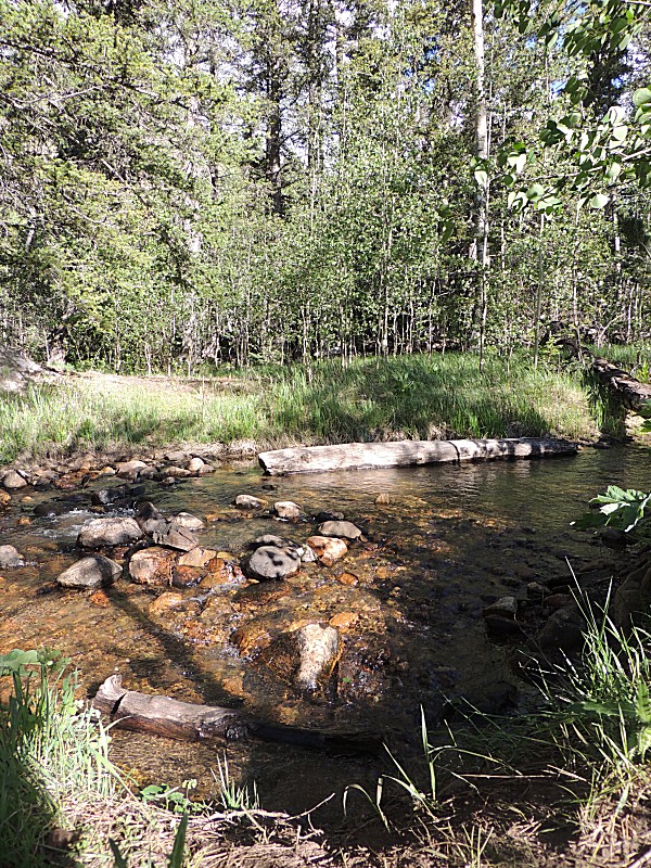
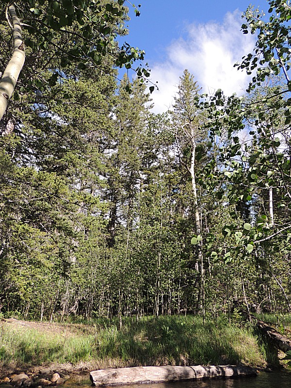
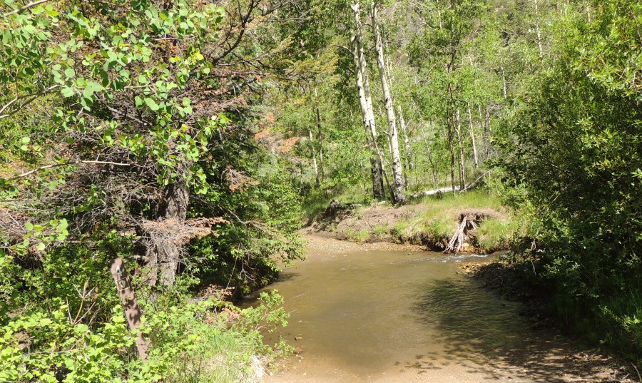
| Medano Creek - nicely at the edge of camp |

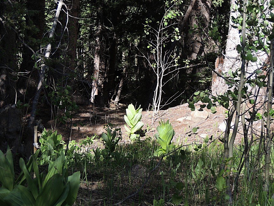
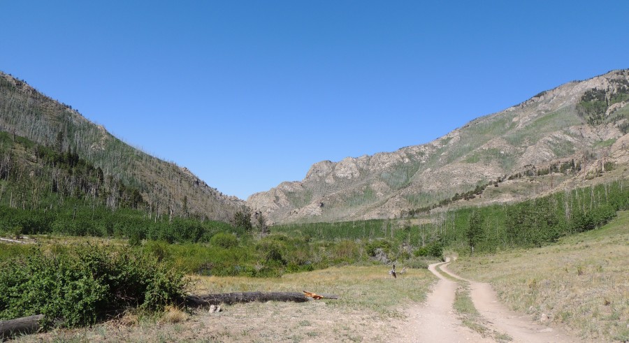
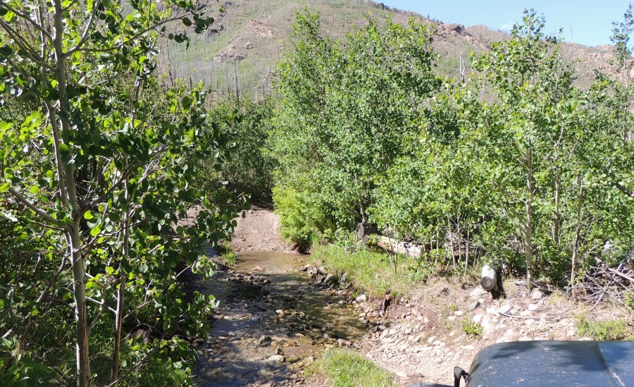
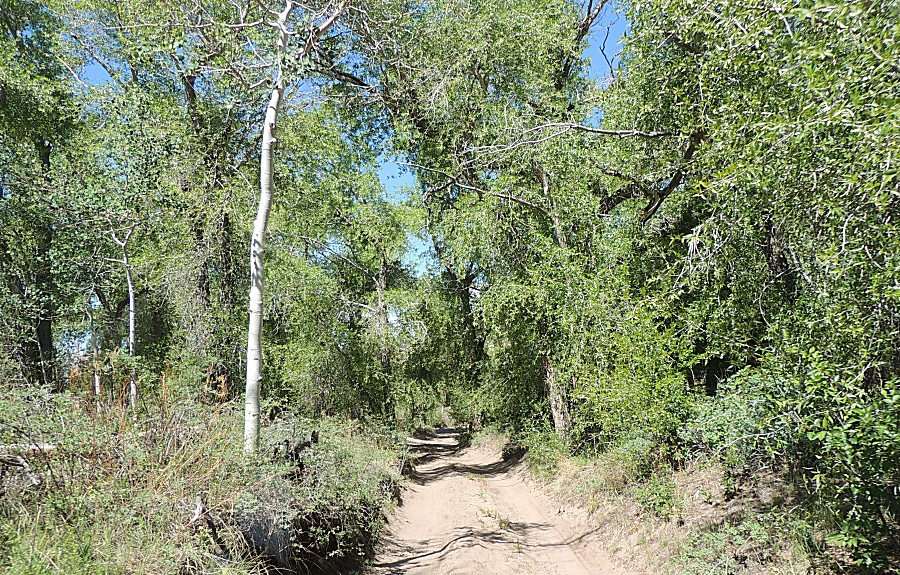
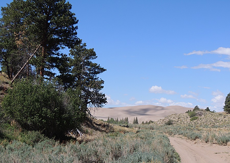
| On the trail - solo |
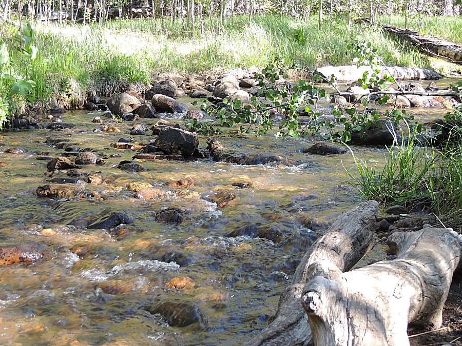
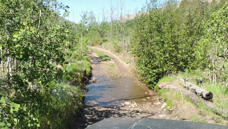
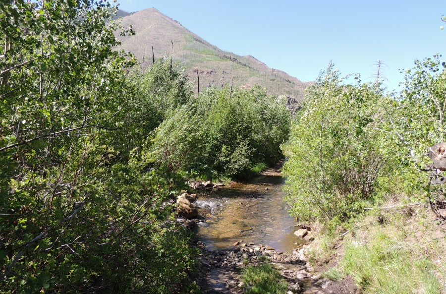
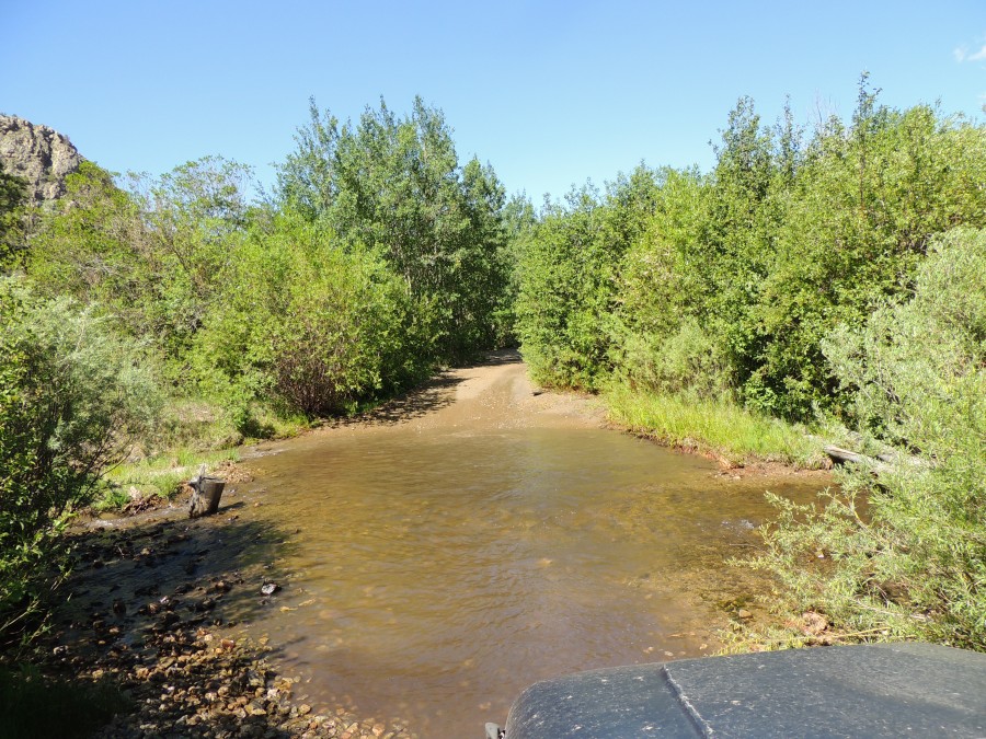
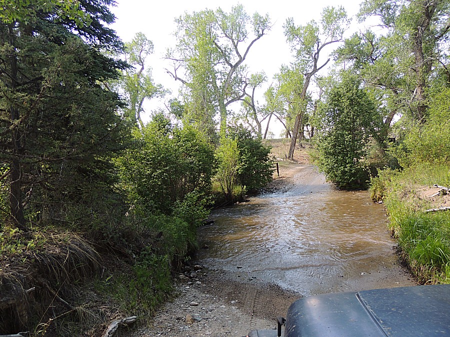
| Water crossing 1 (for me today - there might be some higher on the trail) |
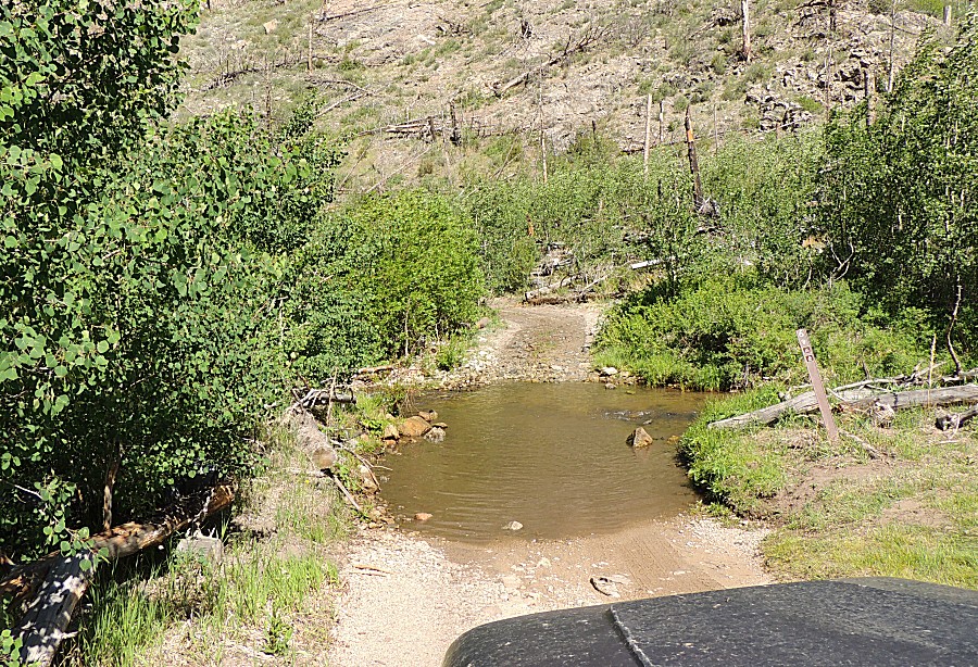
| Crossing 2 |
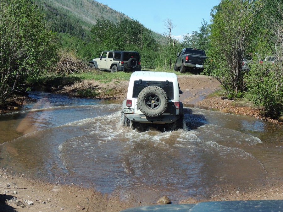
| Crossing 3 |
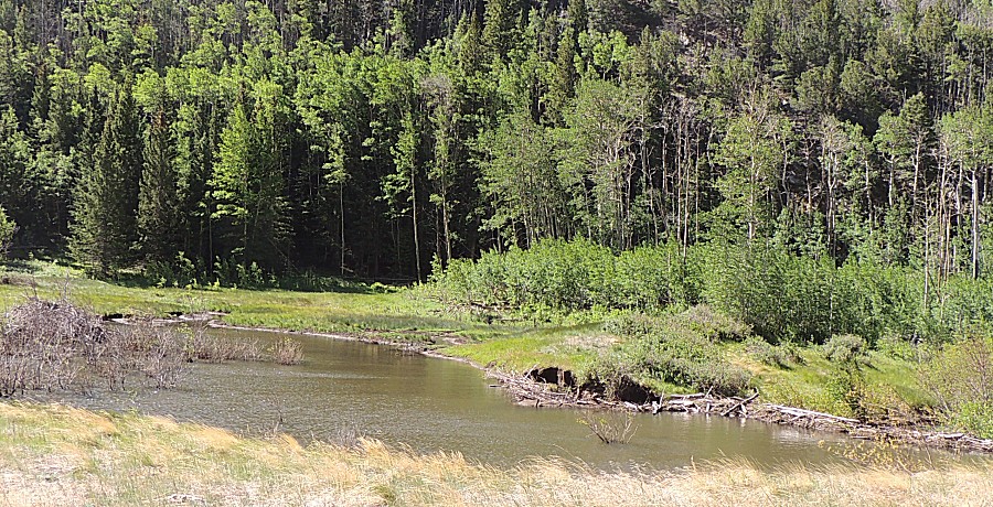
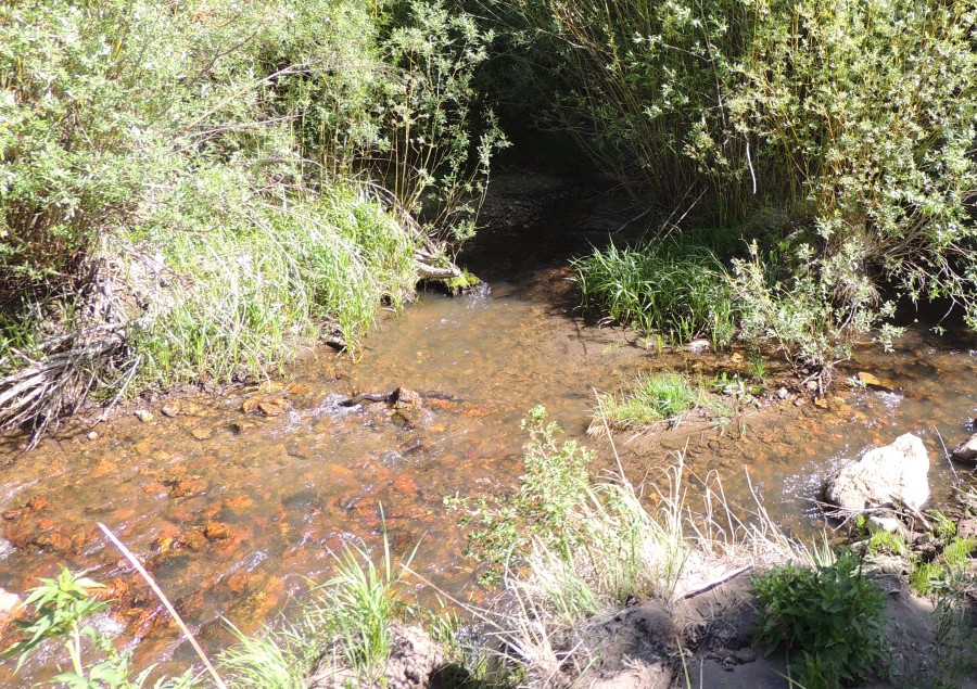
| Beaver dams |
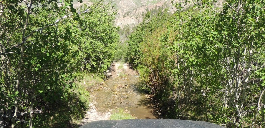
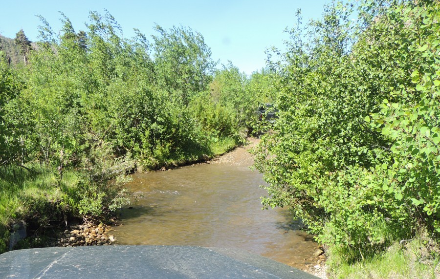
| Crossing 4 |
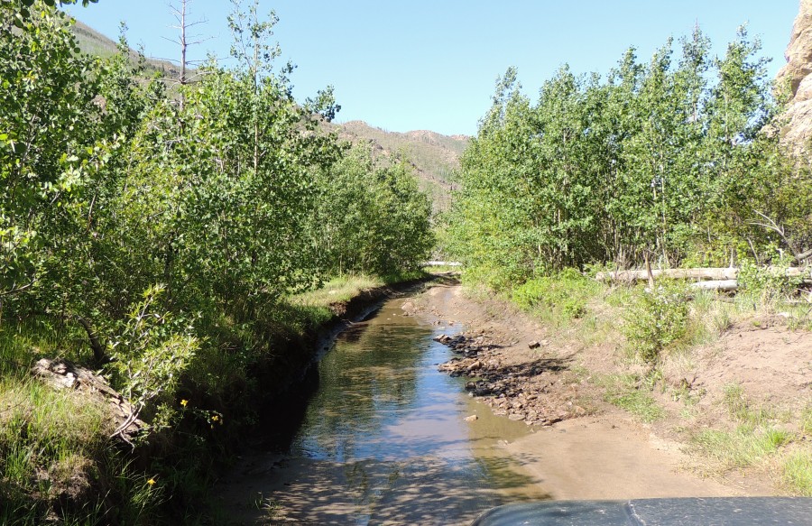

| Crossing 5 |
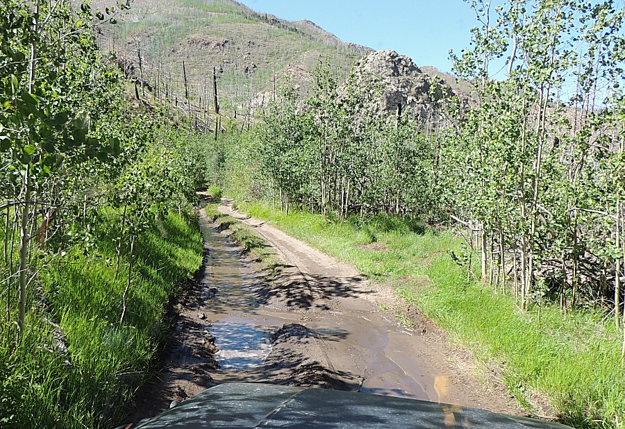
| Crossing 6 |
| Crossing 7 |
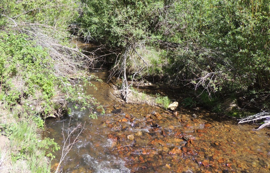
| Crossing 8 |
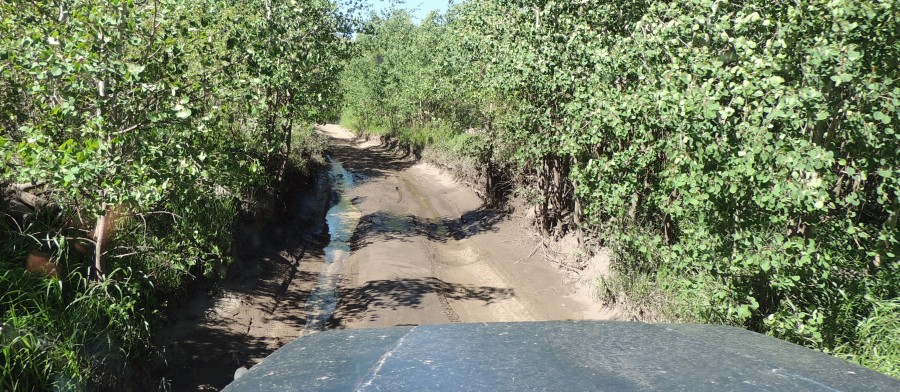
| Crossing 9 |
| Crossing 10 |
| Crossing 11 |
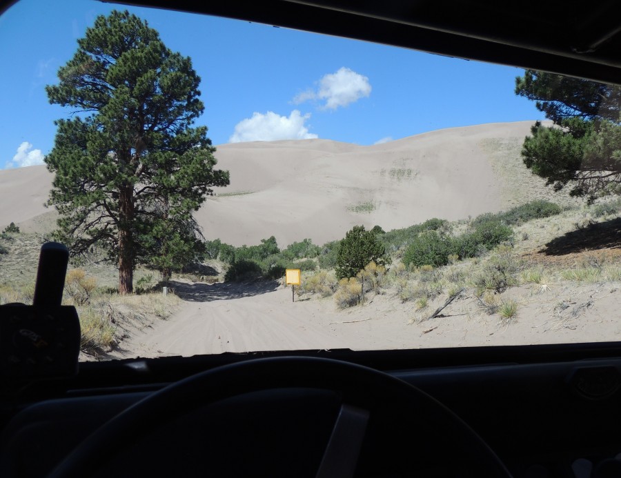
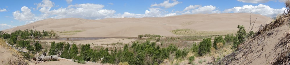
| Panorama This is at the "middle" turn-out for the dunes it's also on the 4x4 road with parking for only ten vehicles Click for a larger size |
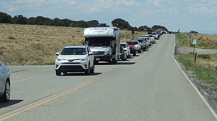
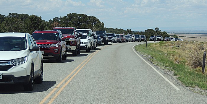
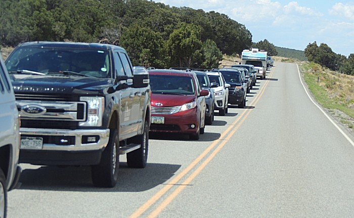
| Leaving
the park - amazed at the line of traffic. I counted 120 vehicles in
line. The main parking lot for the dunes was already filled with cars
taking overflow parking. This'll be a busy day. |
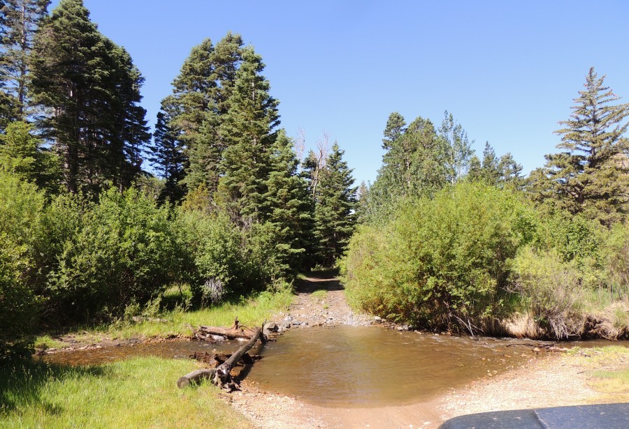
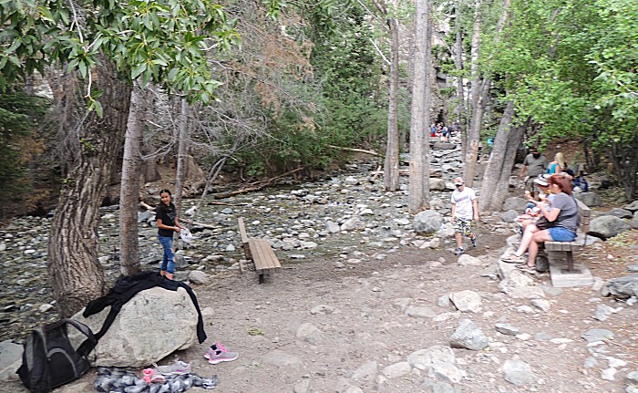
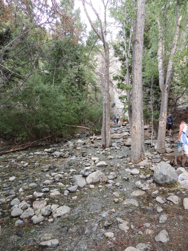
| Zapata Falls - the trail The BAD ROAD to get here was not quite as bad as this - but close. Low clearance cars would have to navigate the rocks. |
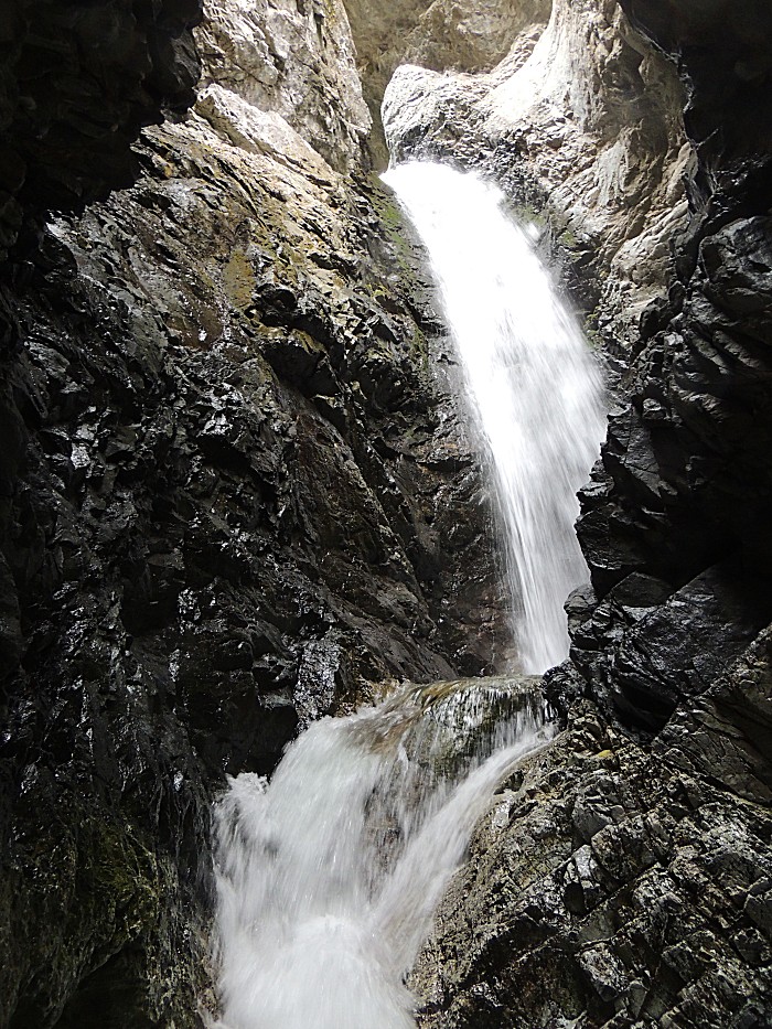
| The falls area - we'll walk up the creek to the falls - a narrow box canyon with water cascading into it. |
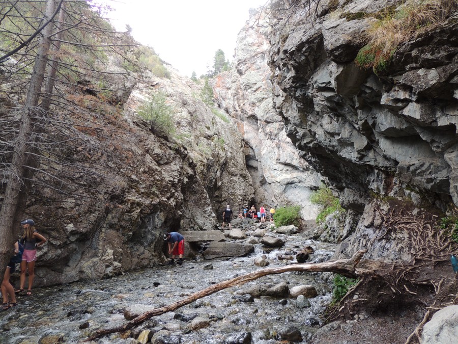
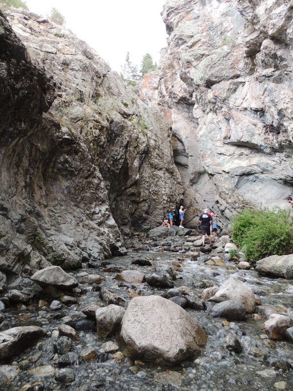
| And
there we go - on a busy day there's not much time to spend here - it's
a tight spot for only a few people at a time. In, snap, head out. |
| The
walk, on the way down (1/2 mile & 400 foot elevation), from the
falls to the jeep was 10 minutes. The walk up - I doubt it was as long
as 15 minutes - 12 maybe? |
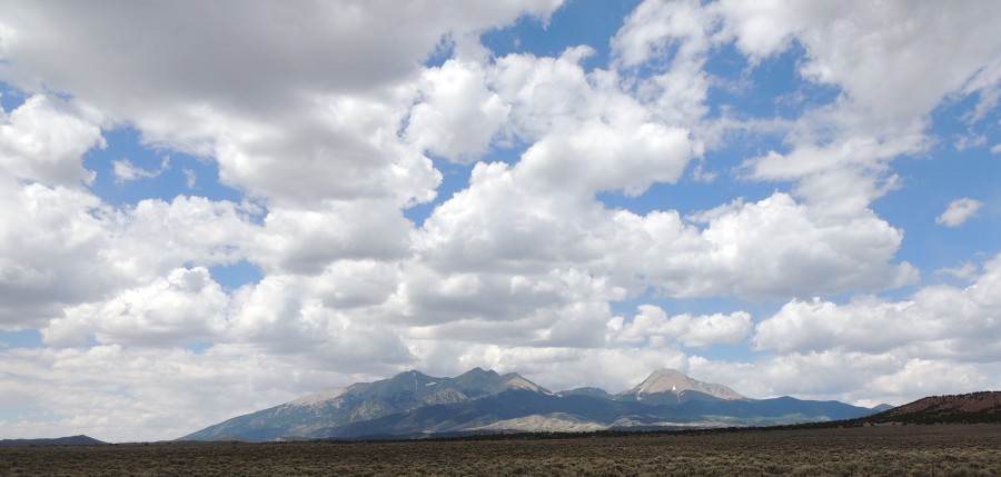
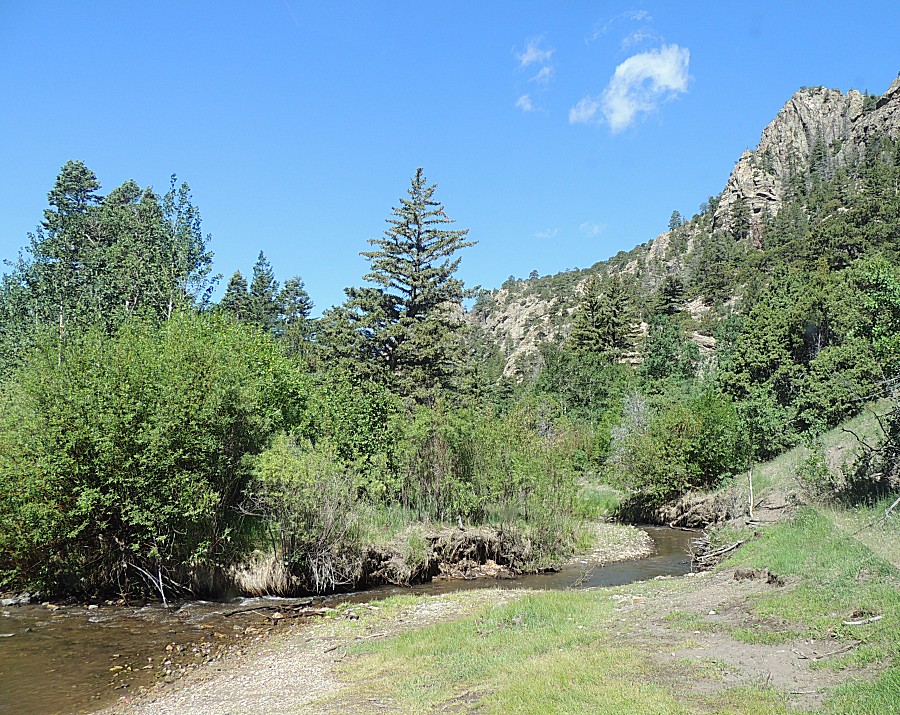
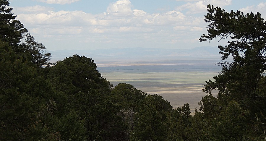
| On
US-160 heading east from Blanca - looking north at the southern end of
the mountain range. Getting set for the jump over La Veta Pass then the
I-25 slog to home. |