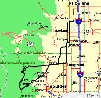
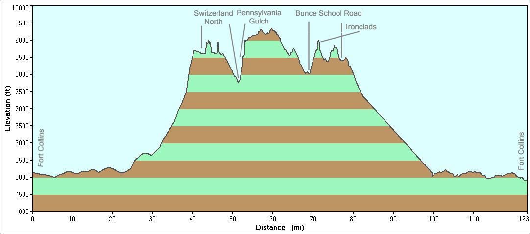
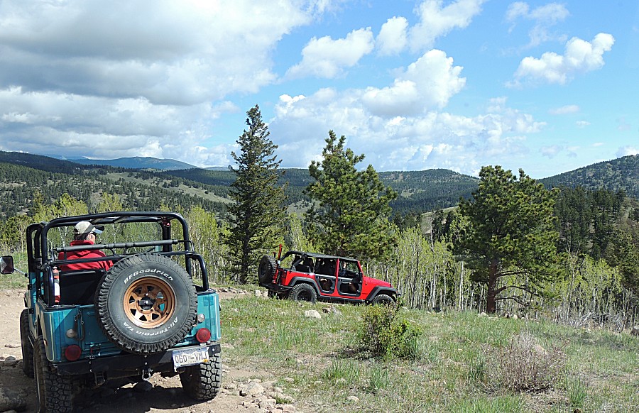
North Switzerland, Cliffhanger 2.0, Ironclads, Bunce School Road
|
|
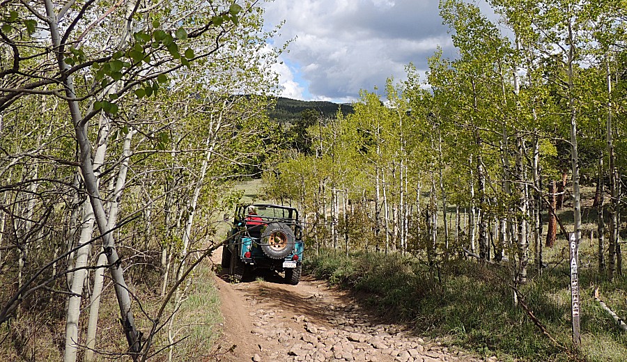
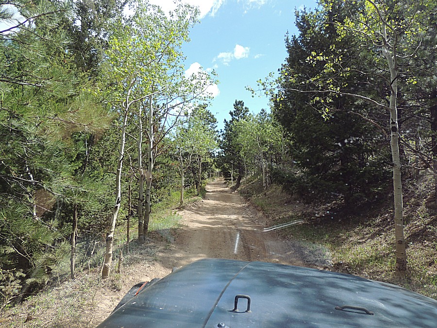
| On the Switzerland railroad bed |
| Consistent width, grade, curve radi |
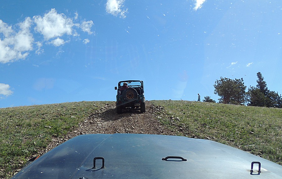
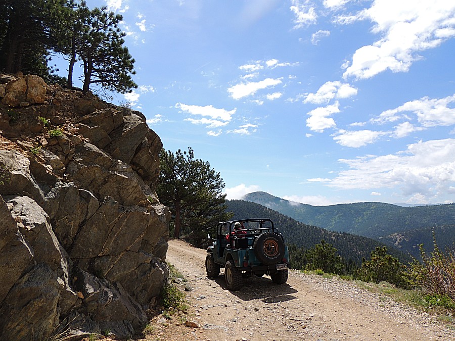
| Atop Cliffhanger 2.0 - a rocky climb |
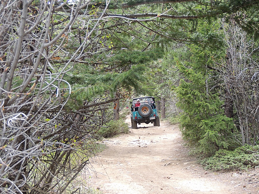
| Heading down. The railbed is visible in the center of the picture. |
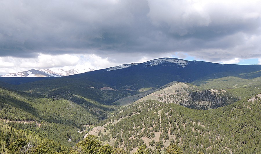
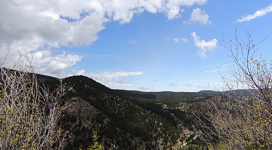
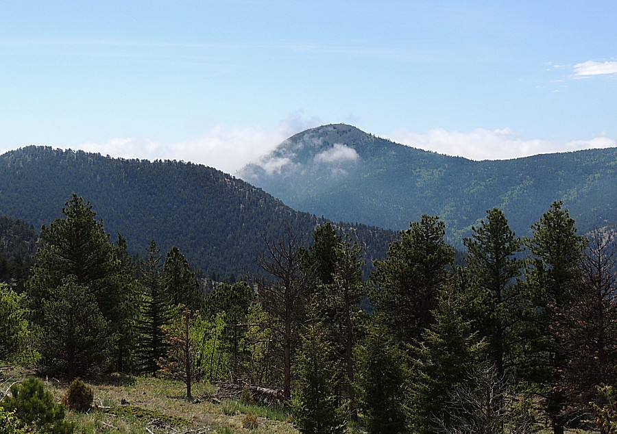
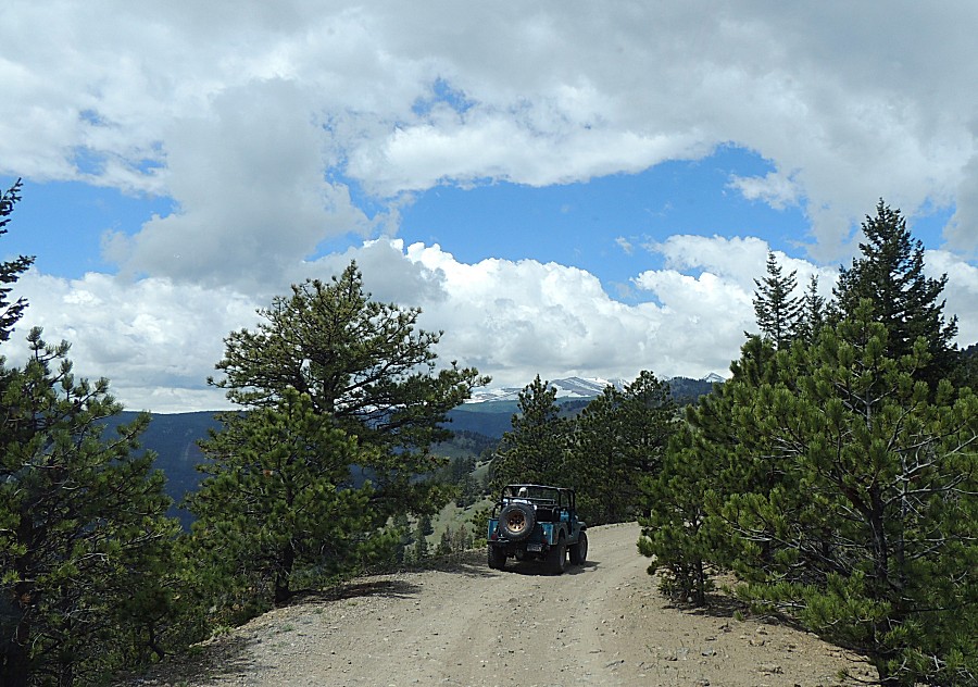
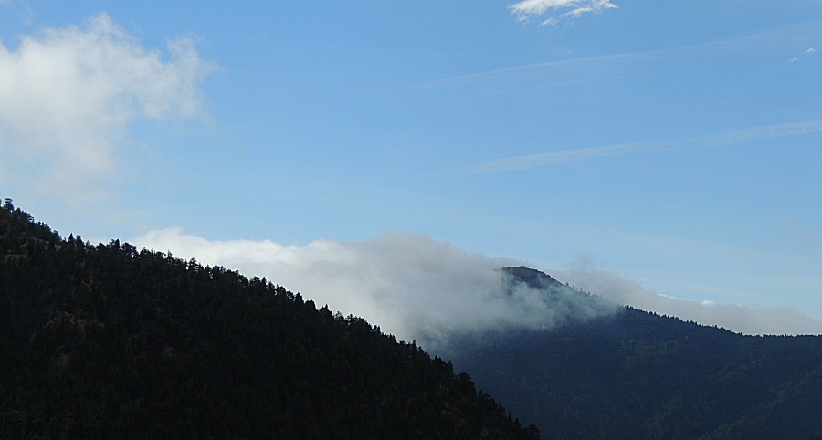
| Some
wisps of clouds - to come into play later in the day when a forest fire
fighter stopped me and asked if I saw or smelled smoke. No. He thought
the call was due to someone thinking the wisp clouds were smoke. |
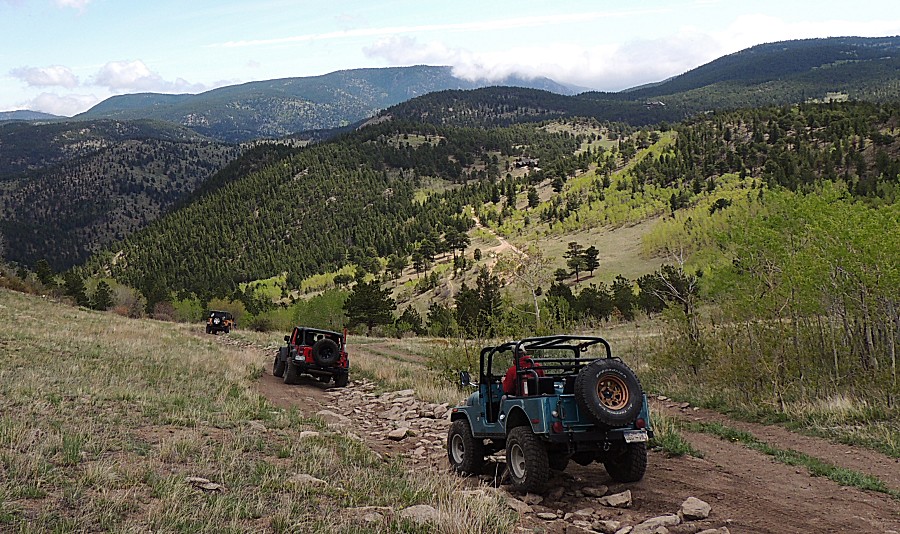
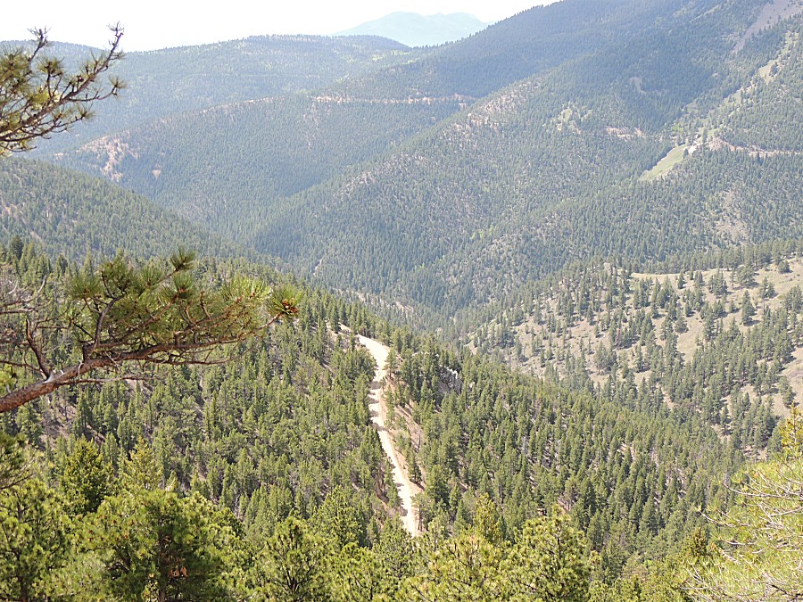
| On the railbed, heading to the Mount Alto lunch stop. |
| Bottom center of the photo - the railbed we'll soon travel. |
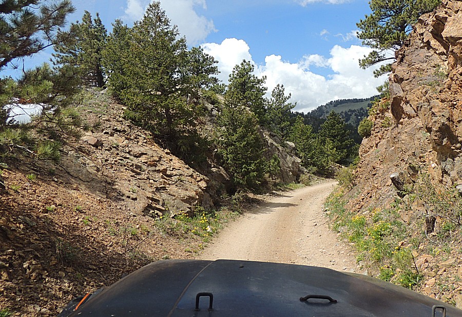
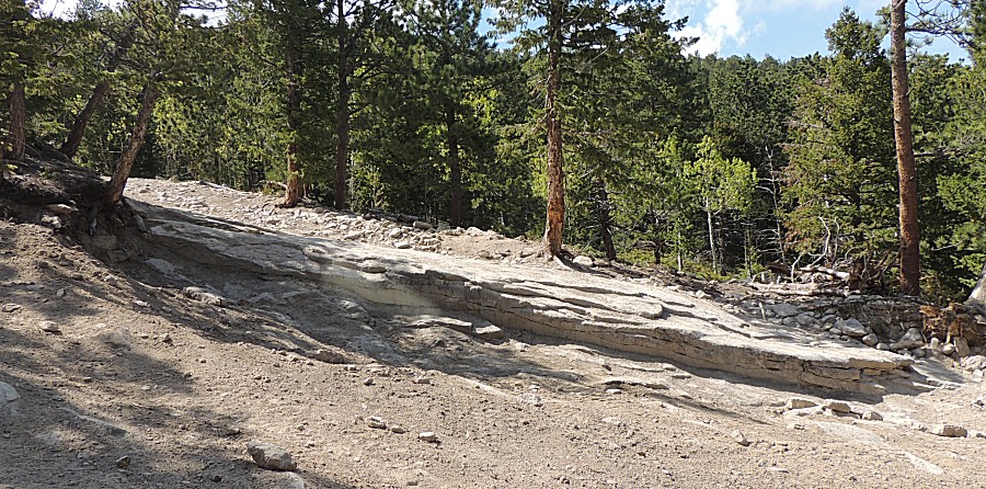
| Ah, a railbed radius with a cut in the rocks. |
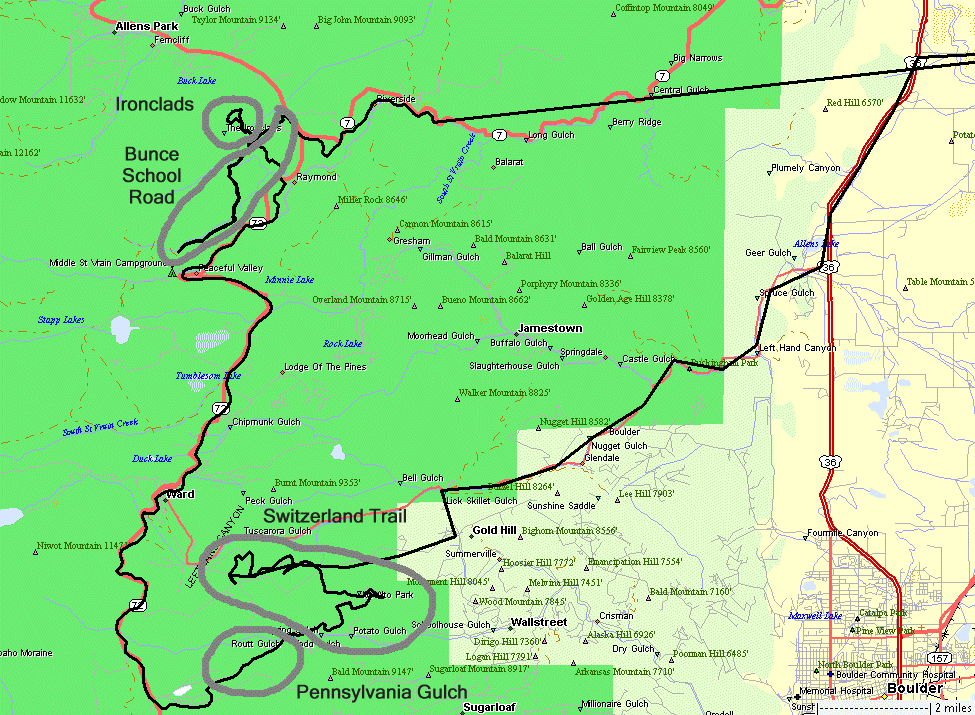
| At the community of Sunset Colorado we'll jump off of the Switzerland trail to take Pennsylvania Gulch. |
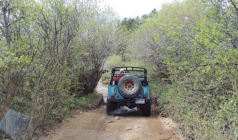
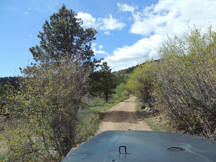
| Starting out with Pennsylvania Gulch trail. |
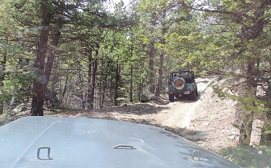
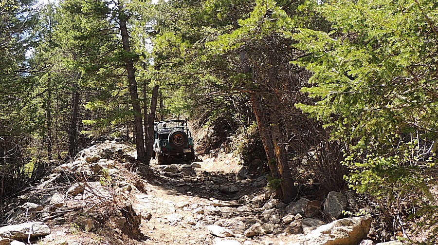
| Certainly more rocky and slow than the railbed of Switzerland trail. |
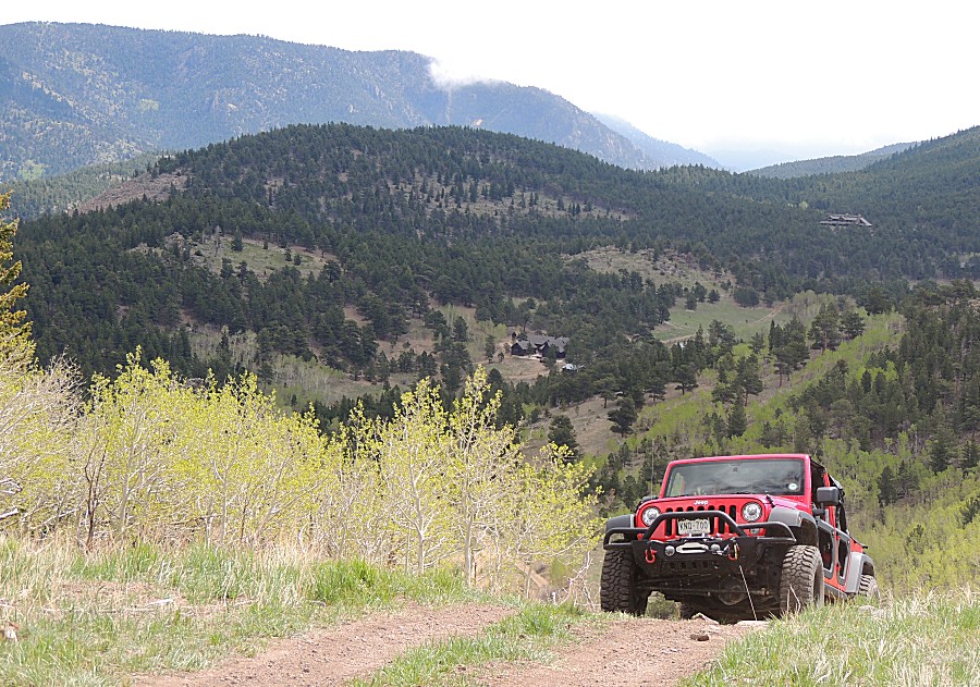
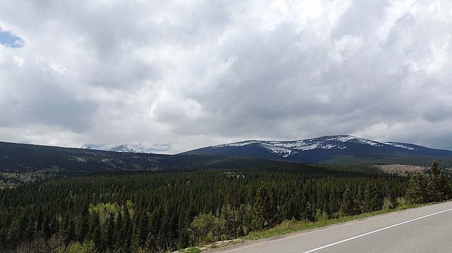
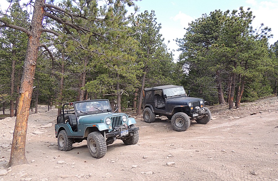
| Done with PennGulch, heading north on the Peak to Peak highway to Bunce & Ironclads. |
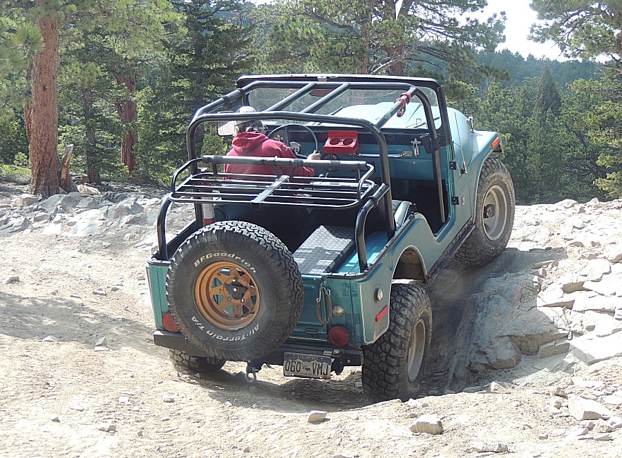
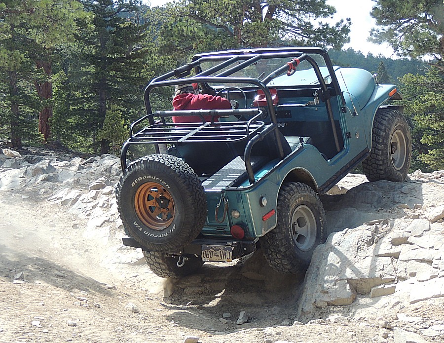
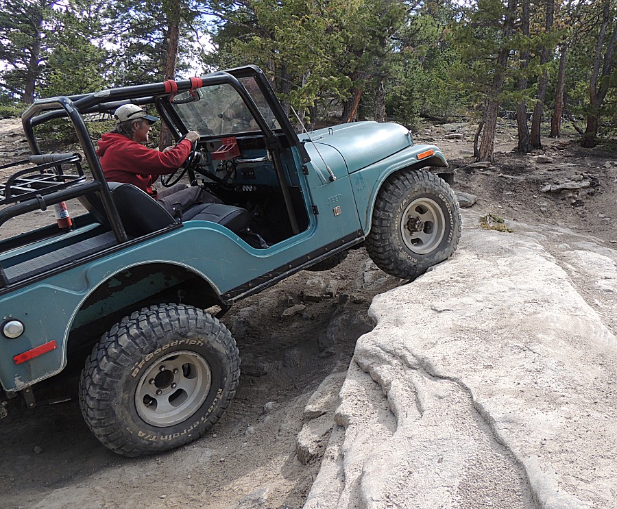
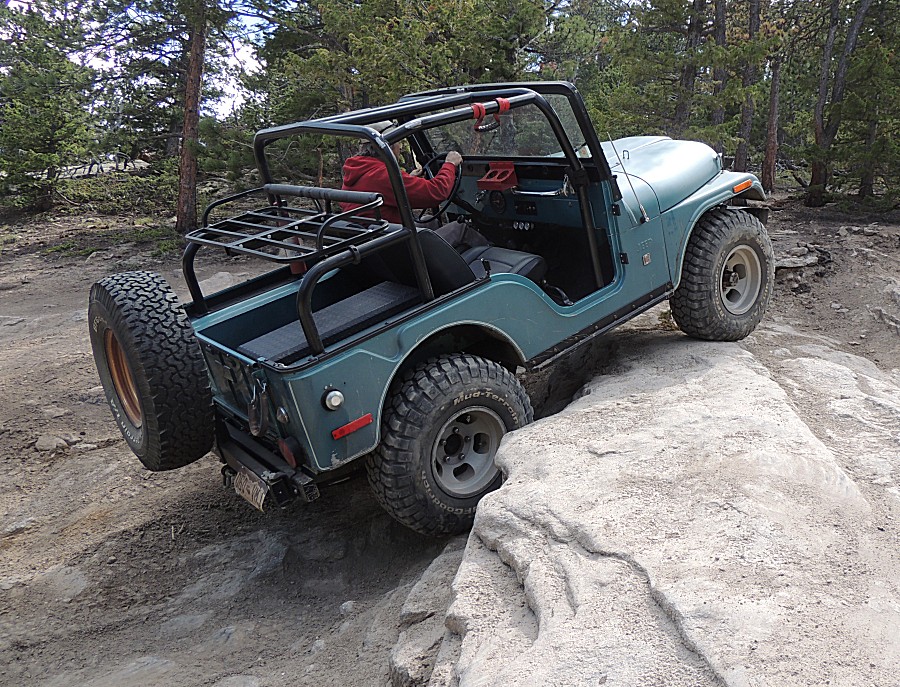
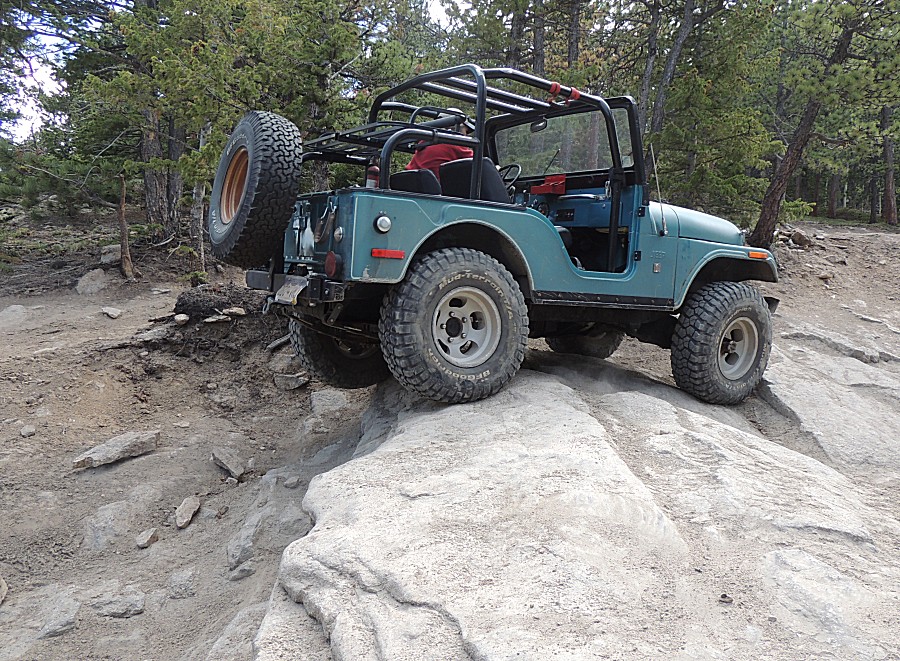
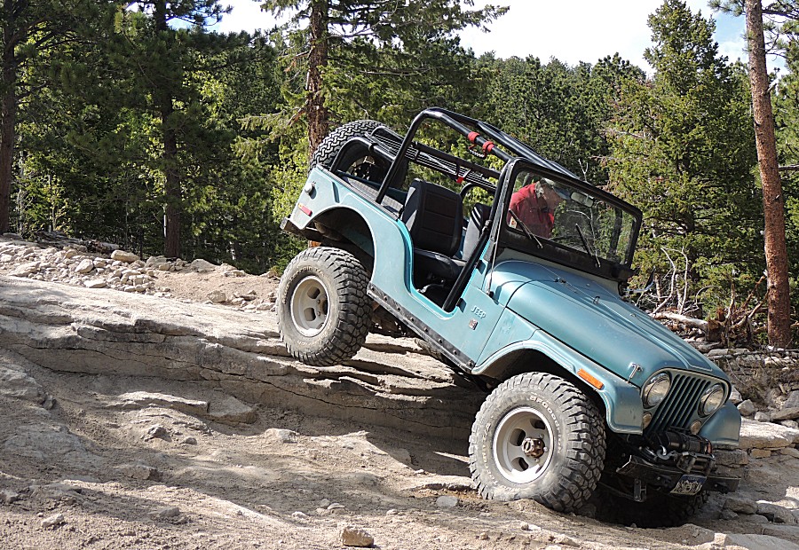
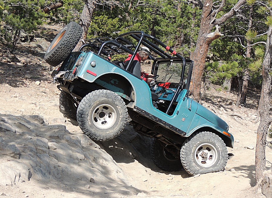
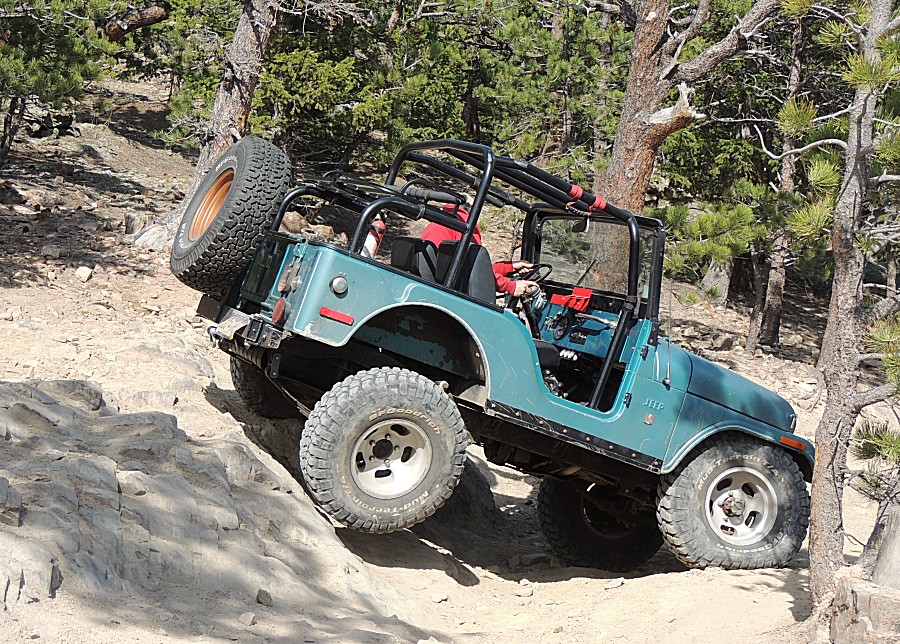
| The Ledge at Ironclads |
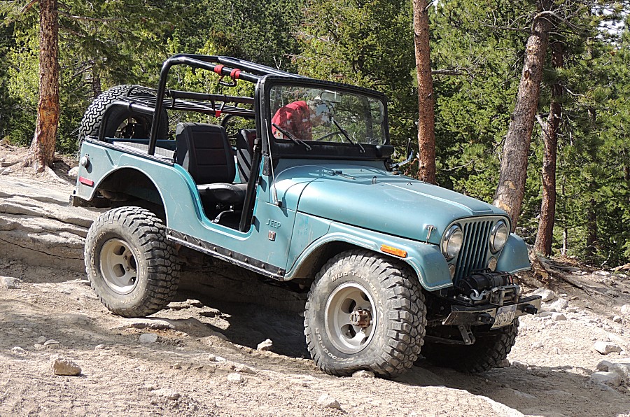
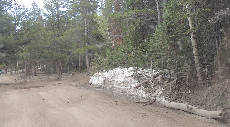
| Snow still around - approx 8000 feet. |