|
Thursday
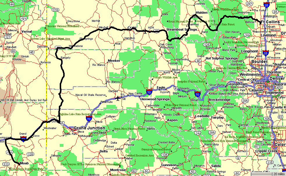
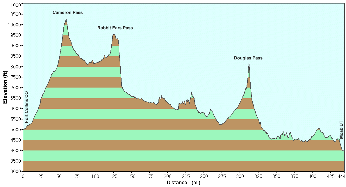
Fort Collins to Moab
444 Miles
9h 40m
The plan is for a long weekend in Moab where I'll meet up with two
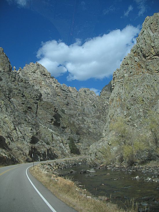
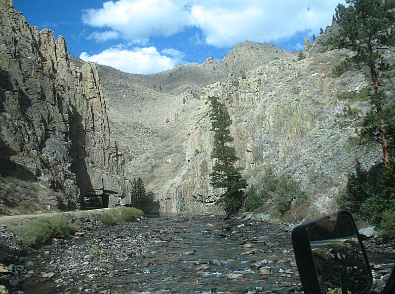
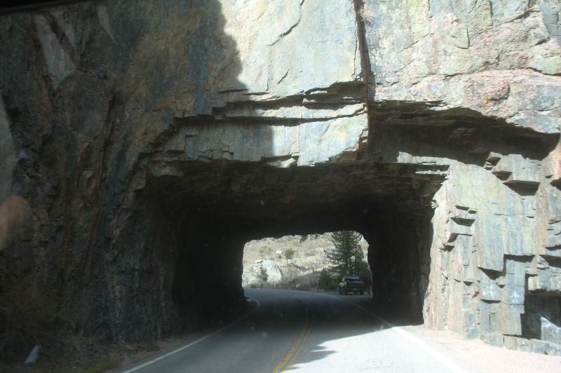
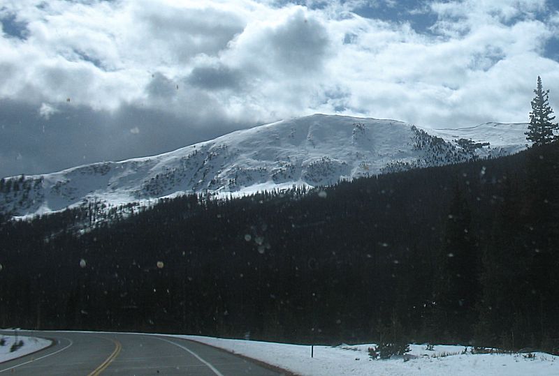
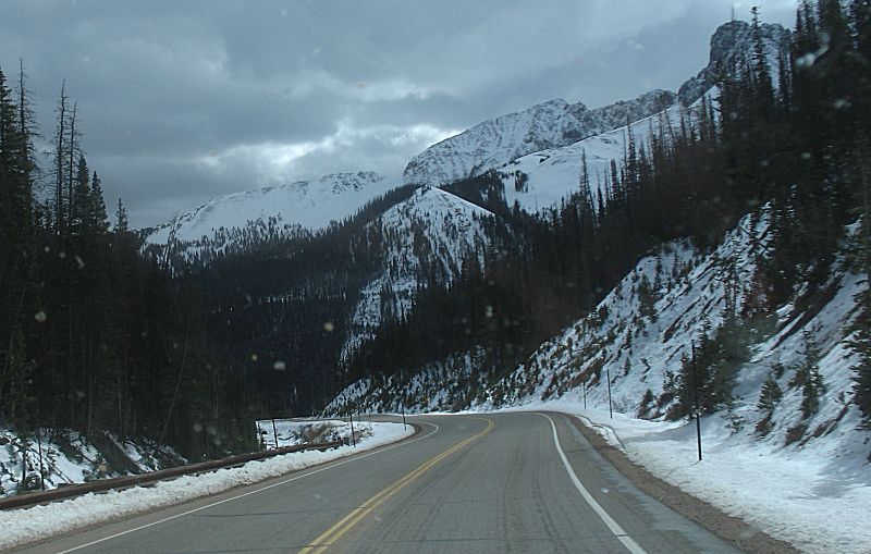
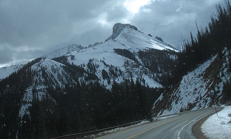
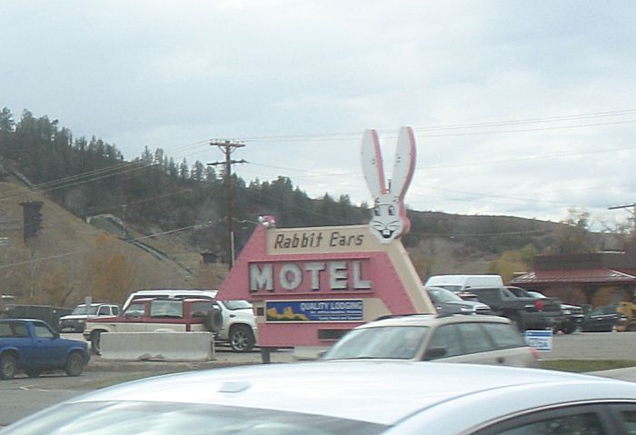
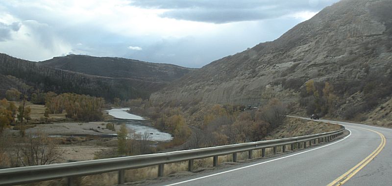
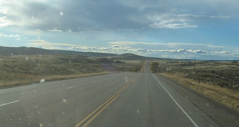
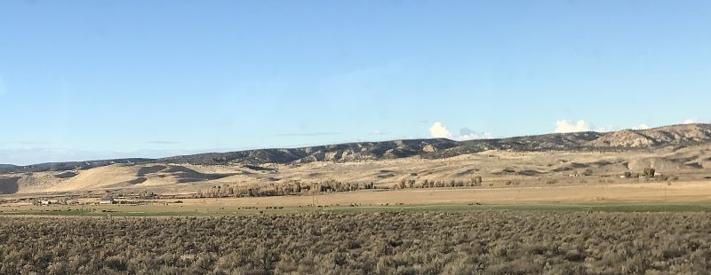
other Jeeps. My plan is to take the long road to get there - lesser
traveled state highway two-lanes vs the Interstates. From entering the
Poudre Canyon northwest of Fort Collins to getting on the Interstate
west of Grand Junction, aside from rolling through the scant few towns
(Walden, Steamboat Springs, Craig), I probably encountered 30 vehicles.
Traffic was scarce which was wonderful.
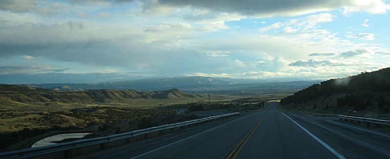
Fuel full before leaving town, I filled at Steamboat and Rangely. I
topped off just before getting on I-70 not knowing if I'd make the next
gas station in Utah (I would have - there is fuel at Thompson).
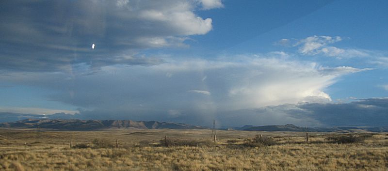
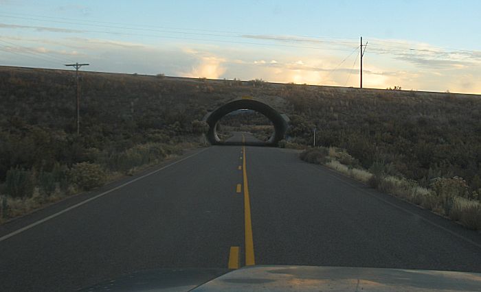
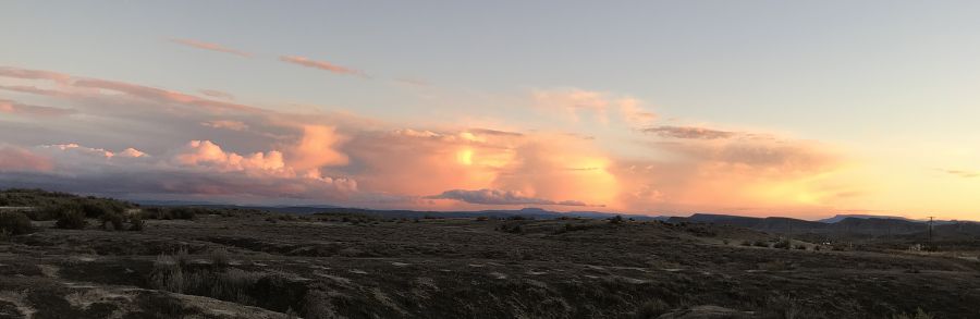
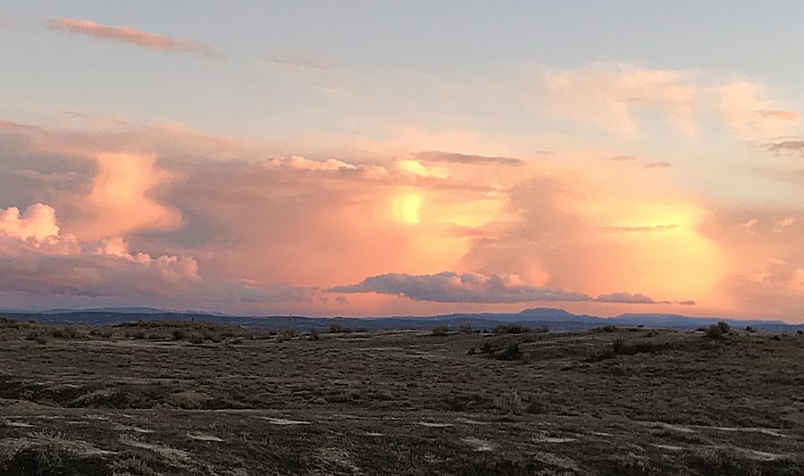
Rolling into Rangely was deep dusk and rolling out was dark. If I was
on the road one to two hours earlier I'd enjoy the sights of Douglas
Pass south of Rangely. As it was - full dark with wet, salted roads at
the freeze point. Nicely, of no issue (I was in no rush to get to Moab).
|