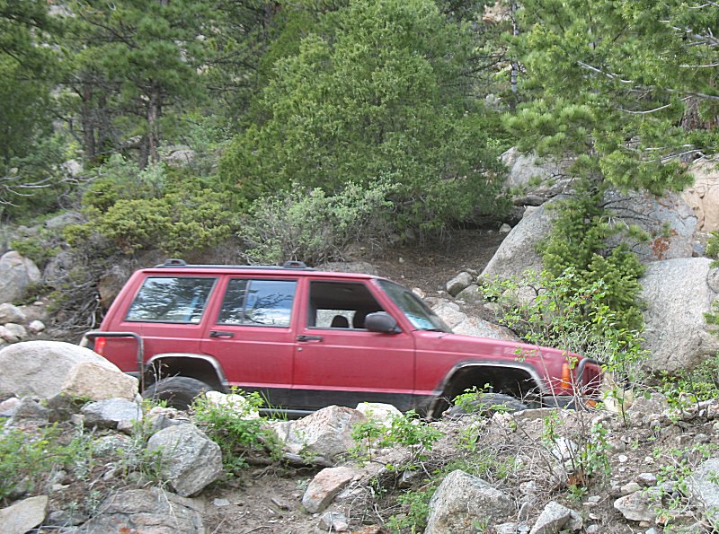
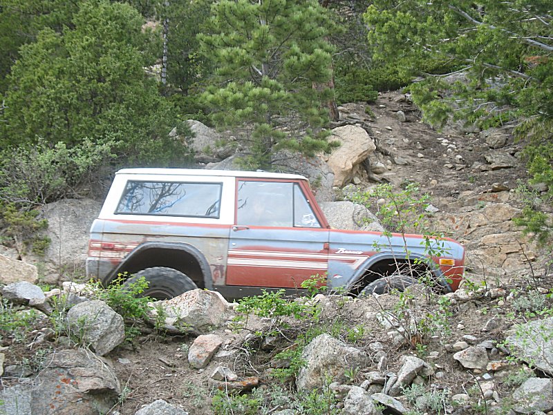
Trails - T-33a & Park Creek
| Heading
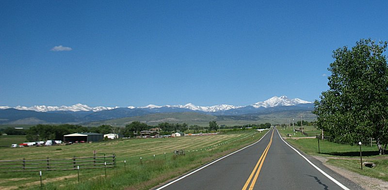
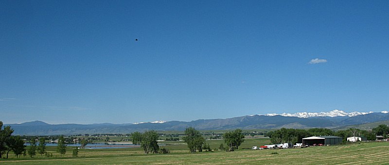
south from Fort Collins to north Loveland we have a nice view to the
west/southwest of Longs Peak (14,259 ft) right and, I believe,
Mt. Meeker (13,911 ft), left. |
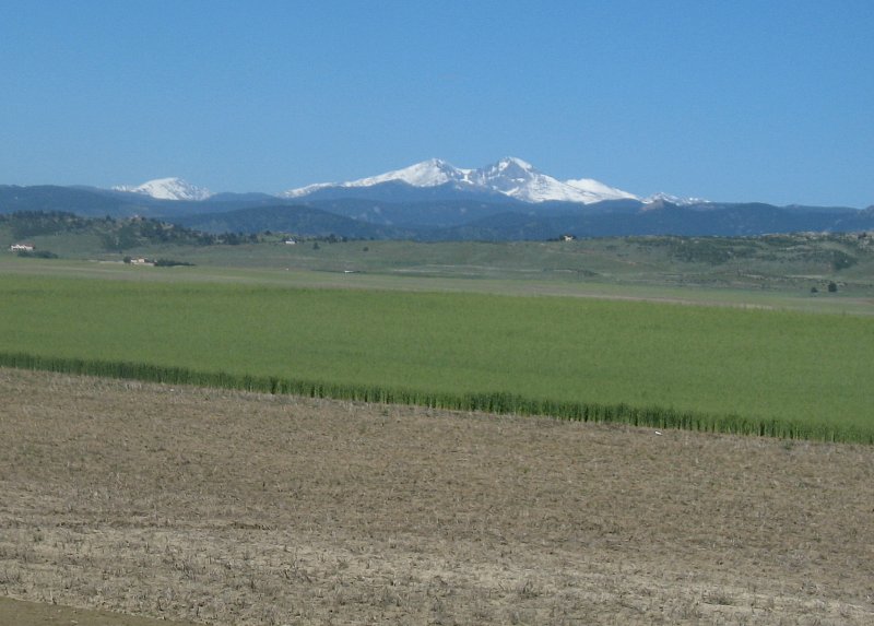
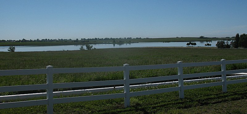
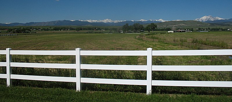
| Nearing Lyons - another view of Longs Peak. |
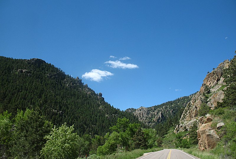
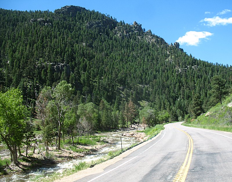
| Starting up the Saint Vrain canyon just soutwest of Lyons CO. |
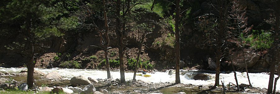
| Kayaker making use of the high water flow. |
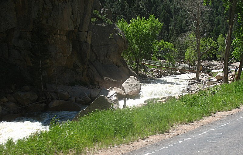
| A temporary / replacement bridge (from the Fall 2013 flood) to a house hidden behind the rock. |
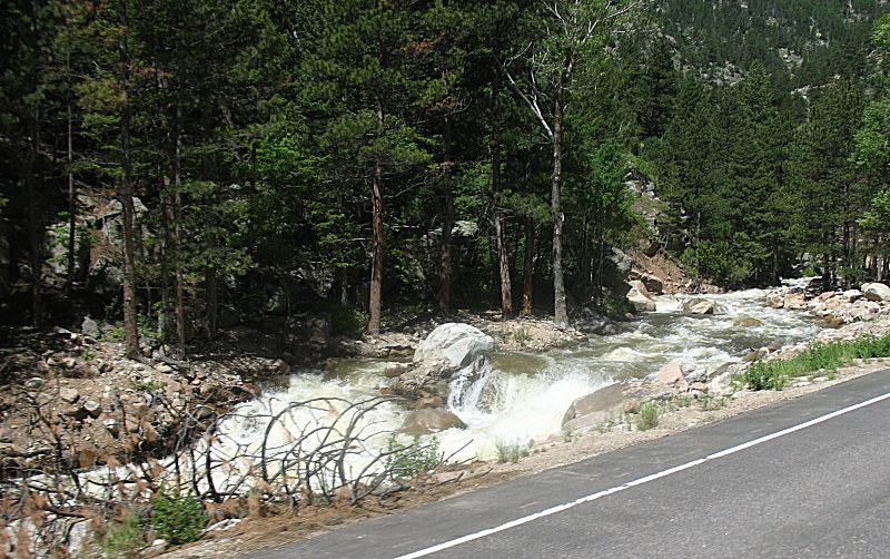
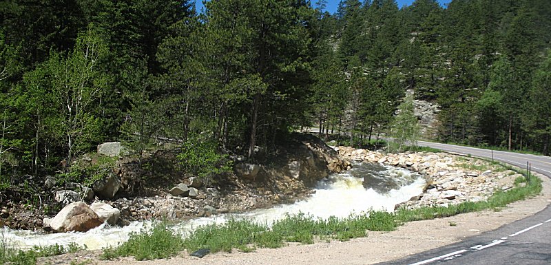
| At the Camp Dick campground, driving over the Middle St. Vrain creek. |
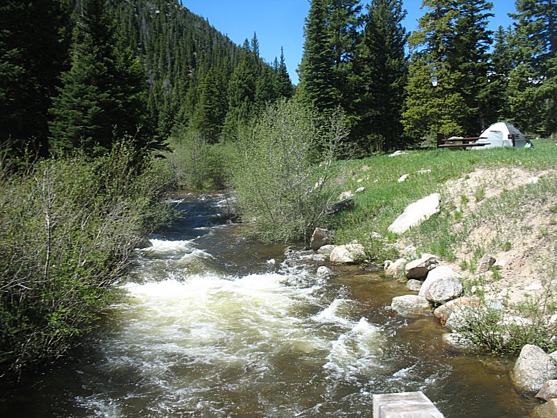
| Starting out from the South trailhead of Bunce School Road |
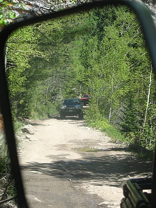
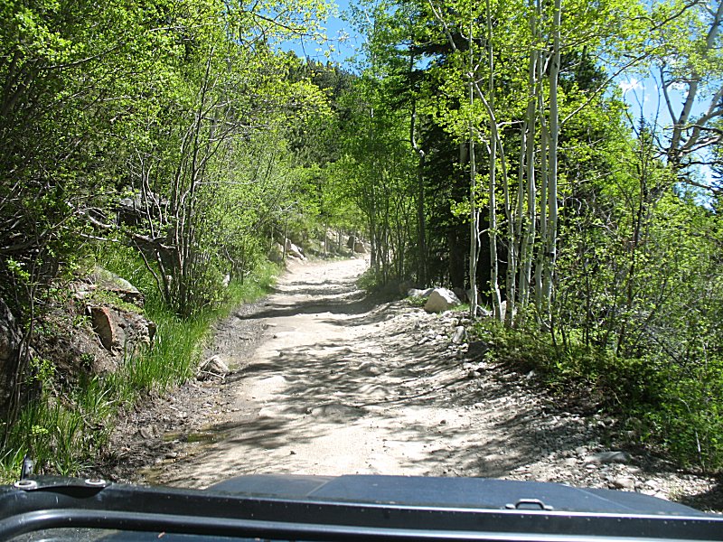
| A couple last "views out" from Bunce. |
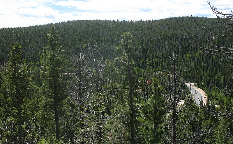
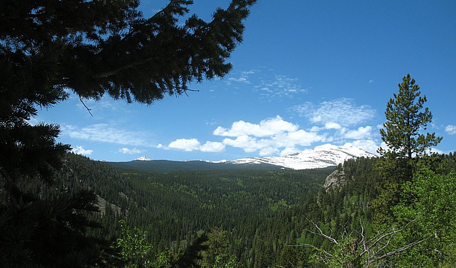
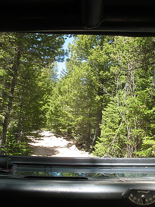
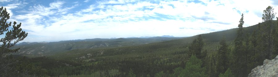
| At the T-33a plane crash site we can hike up 60 yards to climb a rock for another wide "view out". |
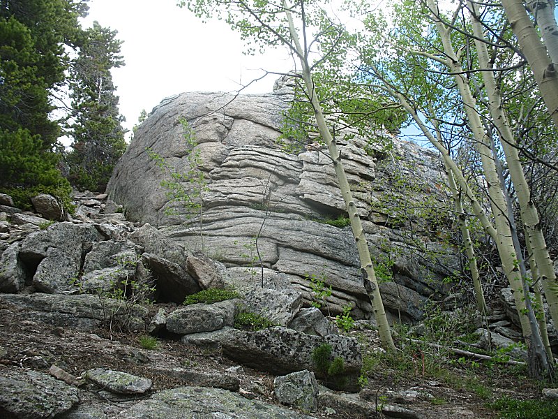
| A nice mix of pine and aspen trees. |
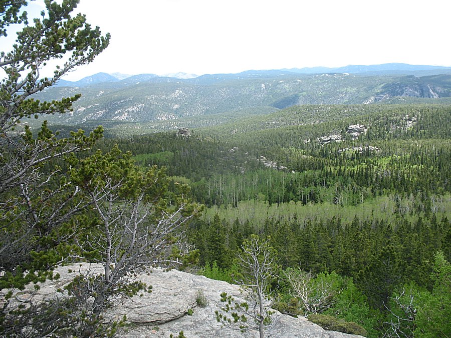
| Panorama Click for a larger size |
| Justin on our way out from T-33a |
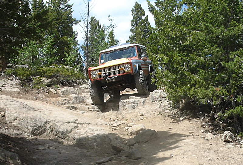
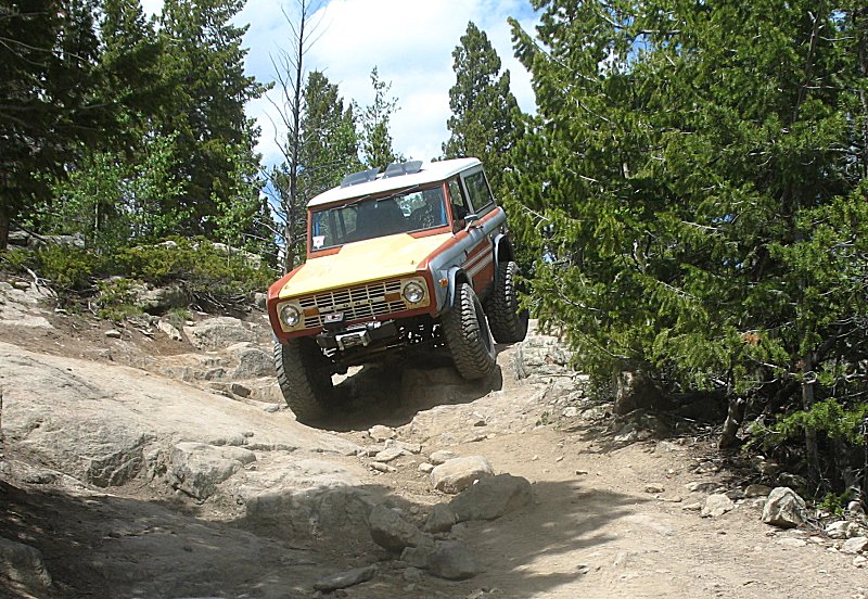
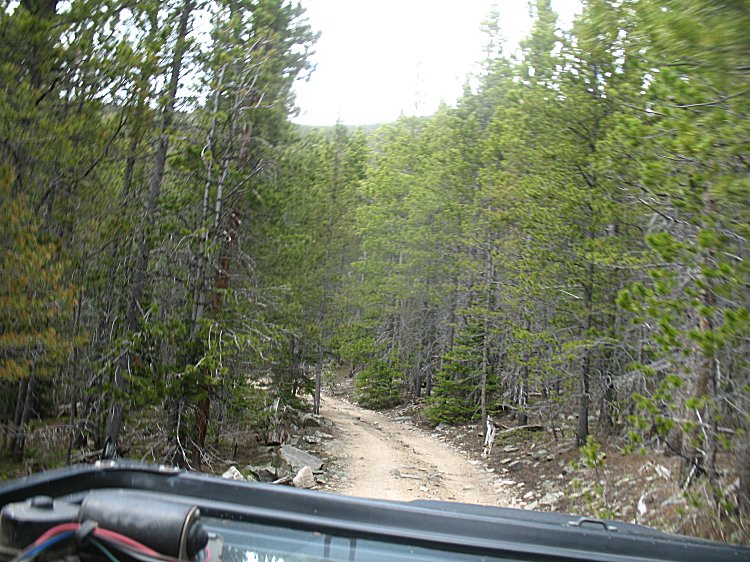
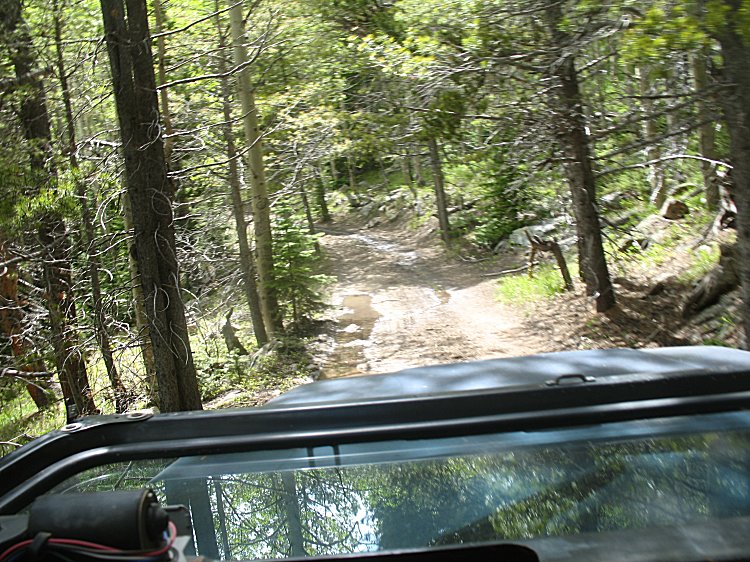
| Starting out with the Park Creek trail |
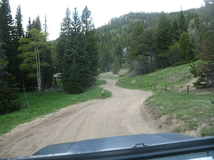
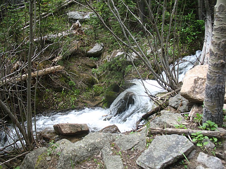
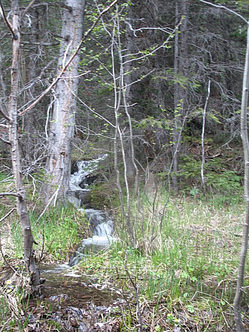
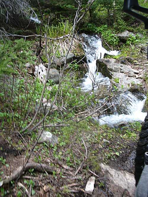
| Water was nicely flowing. The smell of pine, song of birds, flow from the creek... ...later in the day a light rain shower with lightning and thunder - nicely appreciated. |
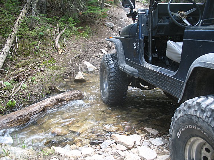
| Chris |
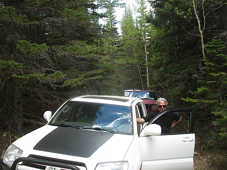
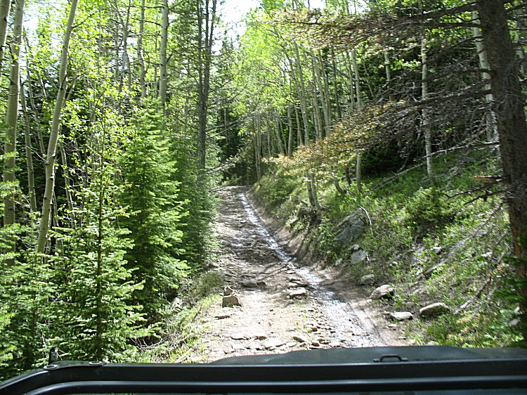
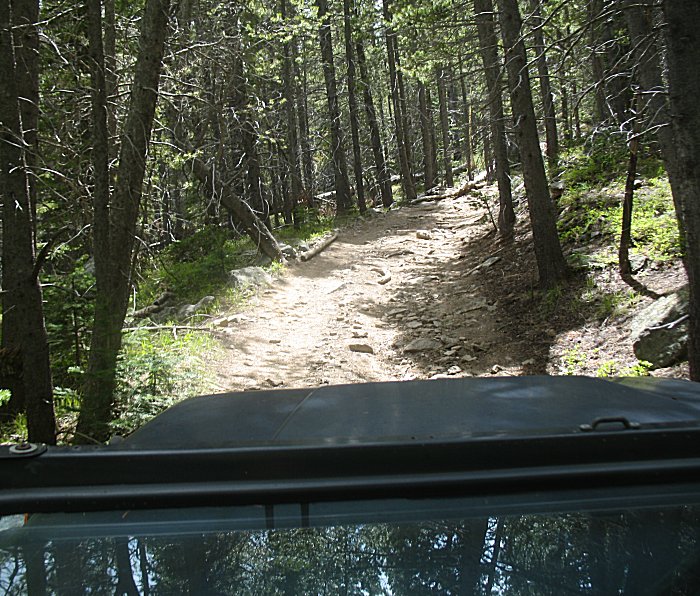
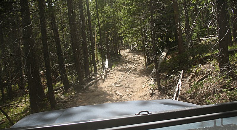
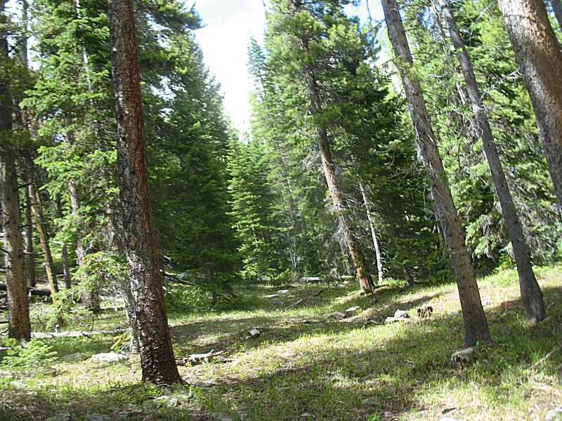
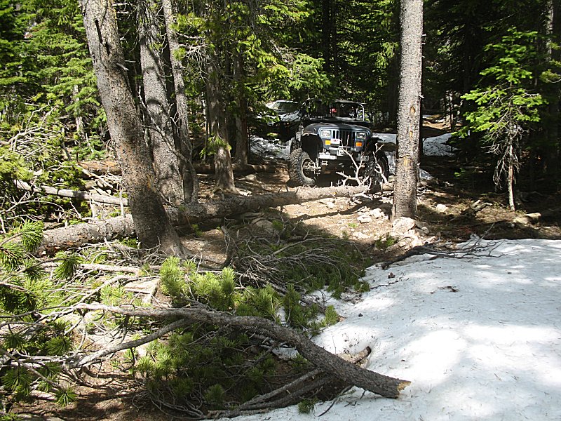
| Up near the end of Park Creek - right about 10,000 ft elevation - we find some snow pockets |
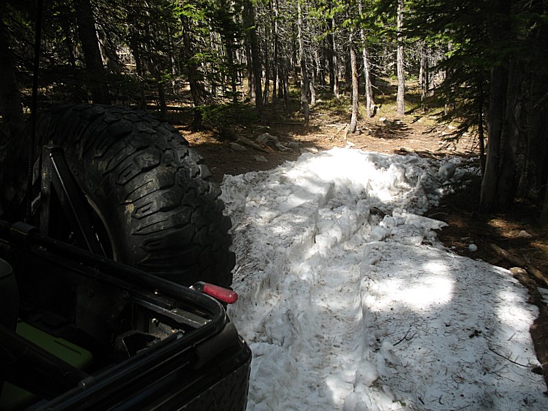
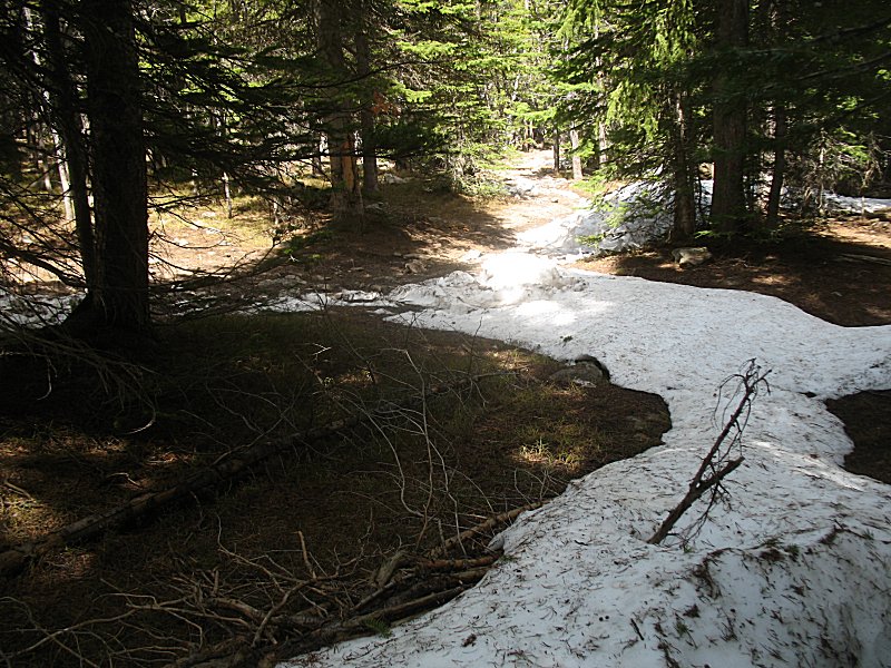
| and
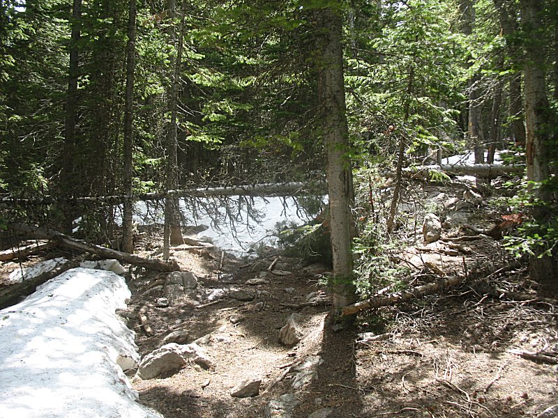
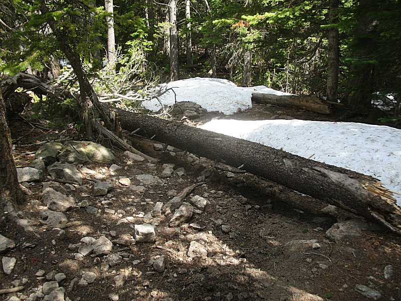
some trees across the trail. Out pops the chain saw to clear the trail
- only to find the trail stop shortly after the trees. |
| Kaelen coming down Bunce School Road. |