Afternoon spring ride up 44H
|
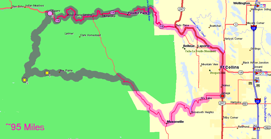
The spring melt has been going on for a bit. I'm curious to know the
status of Buckhorn Road northwest of Masonville. It was washed out by
the flood in the fall of 2013. I found out today that it is open.
Construction is ongoing. Several bridges are new. Some canyon wall
widening happened. About two or three miles of the roadway is still
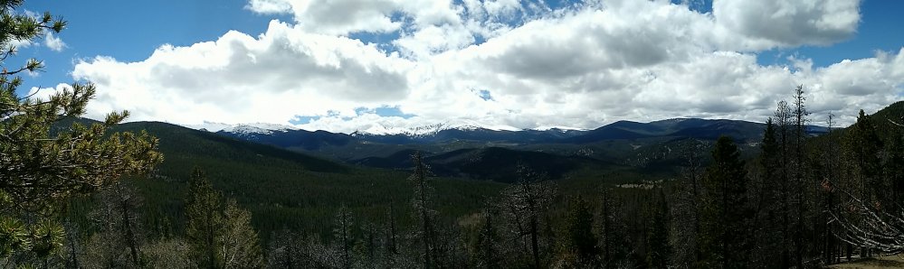
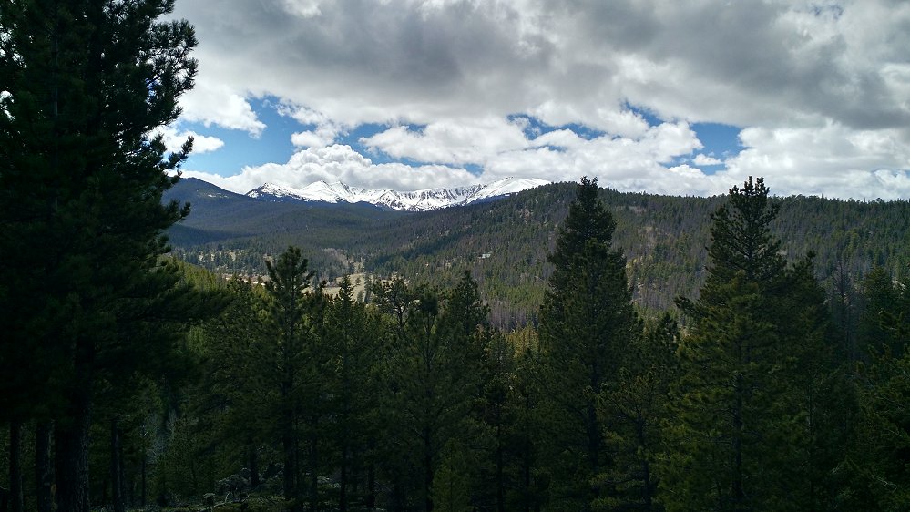
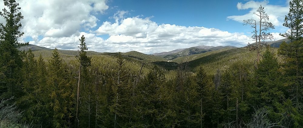
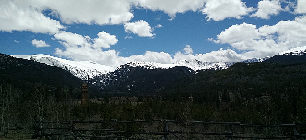
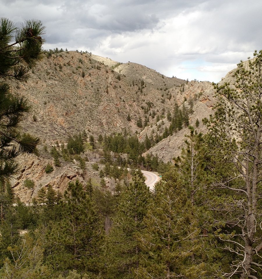
soil / yet to be re-paved. A bit nothest of Masonville I turned west on County road 44H. It crosses over Pennock Pass (yellow #1 on the map). From the pass we have a nice view to the west. |
| The nice Pennock Pass view to the west... |
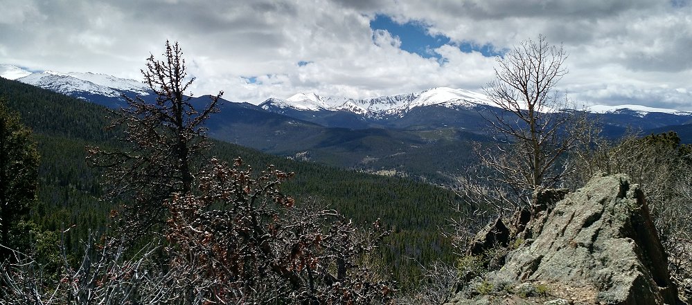
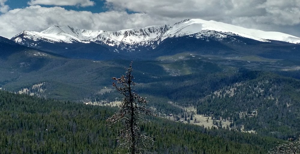
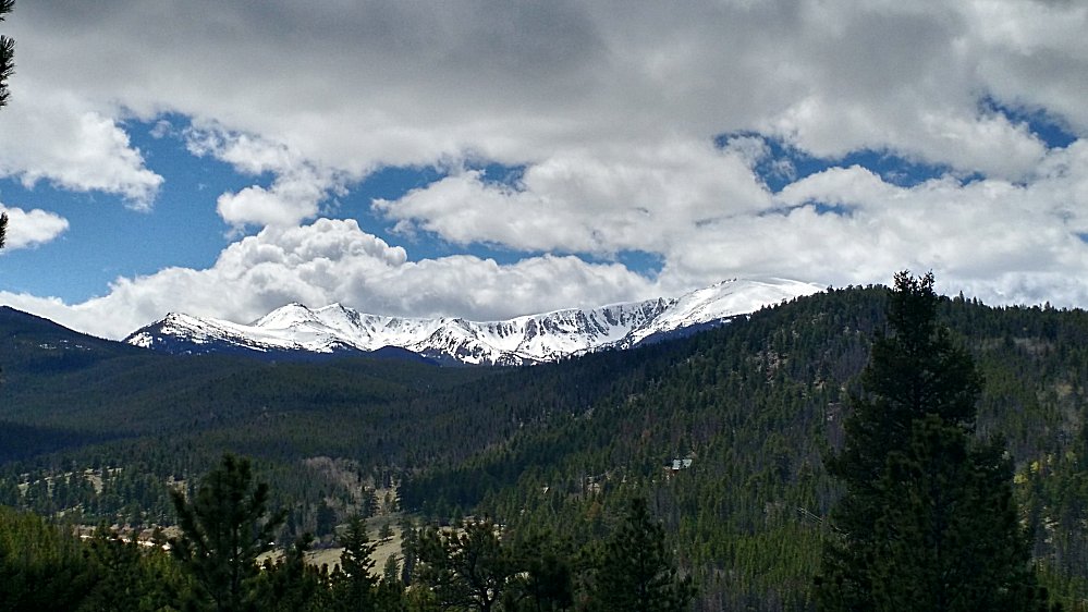
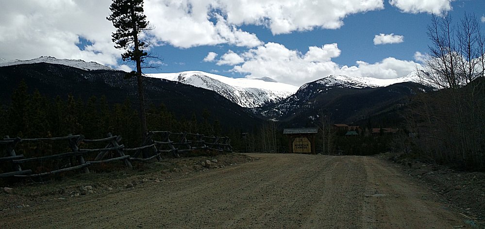
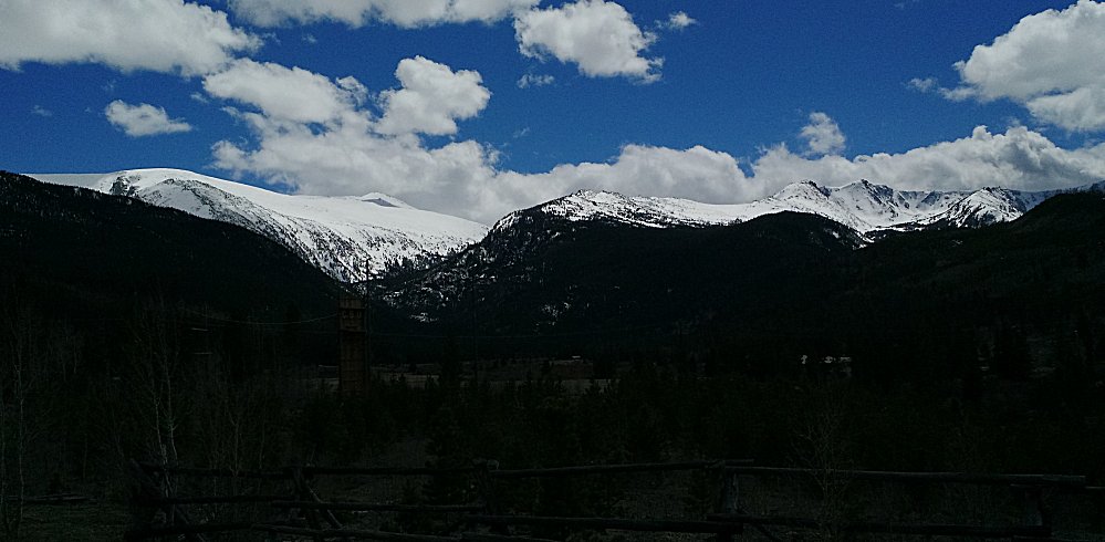
| In
the clearing down in the valley we can barely make out buildings. That
is Colorado State Universitiy's mountain campus. We'll drive down to
the entrance and take a few pictures of the mountains that would be
positioned off the left side of this photo. |
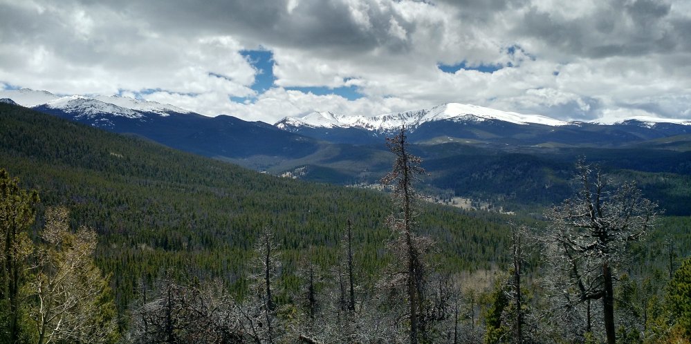
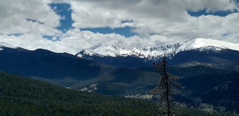
| A view out to the plains to the east. |
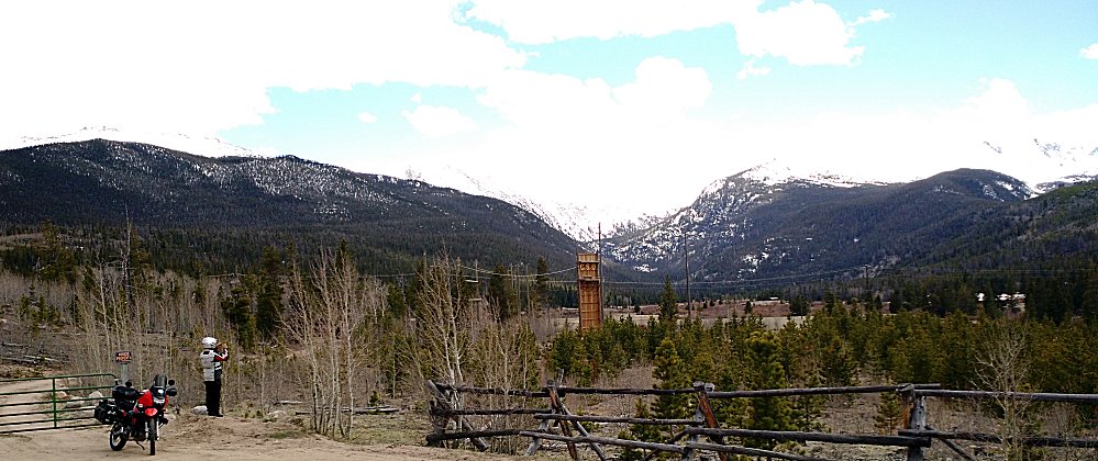
| Approaching CSU's mountain campus. |
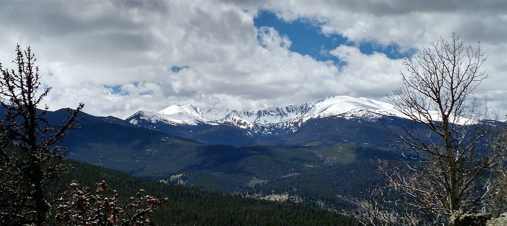
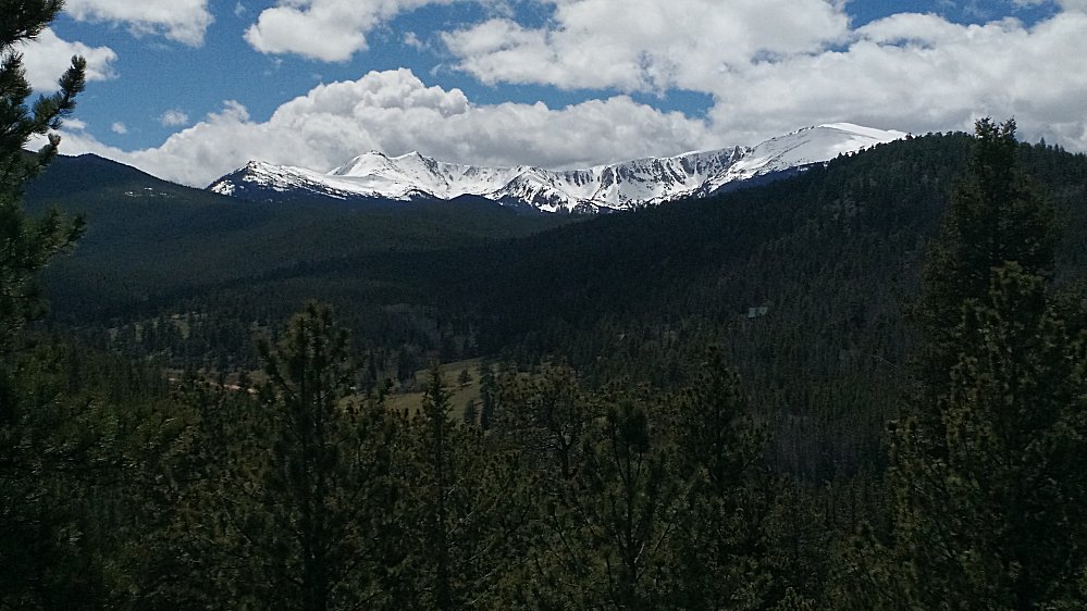
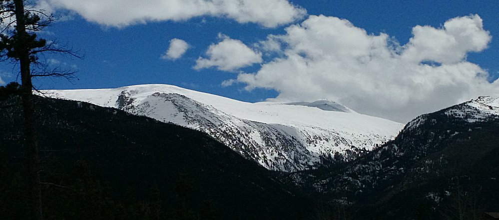
| The mountain that was "off the to the left" of the initial photo, above. |
| A bit of the campus area. |
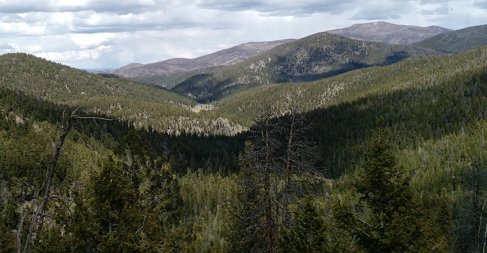
| Heading north up to Colorado Hwy 14 / Poudre Canyon to head back to town... |
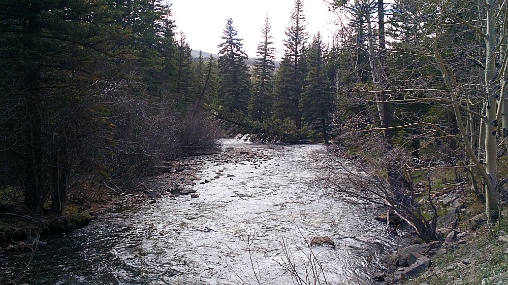
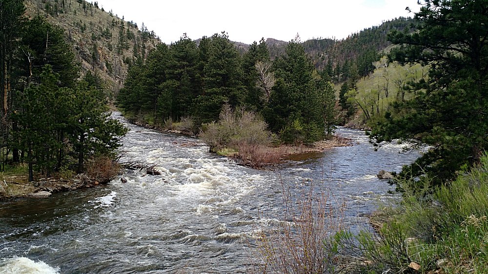
| First view of Hwy 14 in the Poudre River valley. |
| Poudre River @ Mile Marker 100 of Hwy 14. |