Trail - Rock Creek with Rob
|
I have visited the Rock Creek trail three times as it's fairly close to Fort Collins (2011-12-04, 2011-12-10, 2012-05-19).
In each of those times snow has caused enough of a blockage to keep
from getting to the top. Rob, another forum member, commented on
wanting to get to the top - but with at least a little snow. As the summer marched on and fall came in I started wondering when would be a good time to "try again". The date was set for Nov 3 and Rob and I made a point to get to the top. When we started at the trailhead, at least I, wondered if we'd have any snow to present challenge. We did have a snowfall or two, big enough to get snow down in town (~5000 ft elevation) but it melted long ago. Perhaps we should have waited a few more weeks until another mountain storm passed through. Fortunately, the snow turned out to be "just right" and added a nice touch to the enjoyable time outdoors. A side note is that this used to be a ski hill. It is long defunct such that the ski runs are now covered with pine trees and you can't tell it was here. Nature has grown in. If you wish to find out a bit about the ski operation, put "Rock Creek ski hill" into a search engine. You may well find some information. Video Assorted clips - Rob with chains, Rob multi-port u-turn 14.8MB, 56sec, mpeg4, 640x480 jimwilliamson-2012-11-03.mp4 |
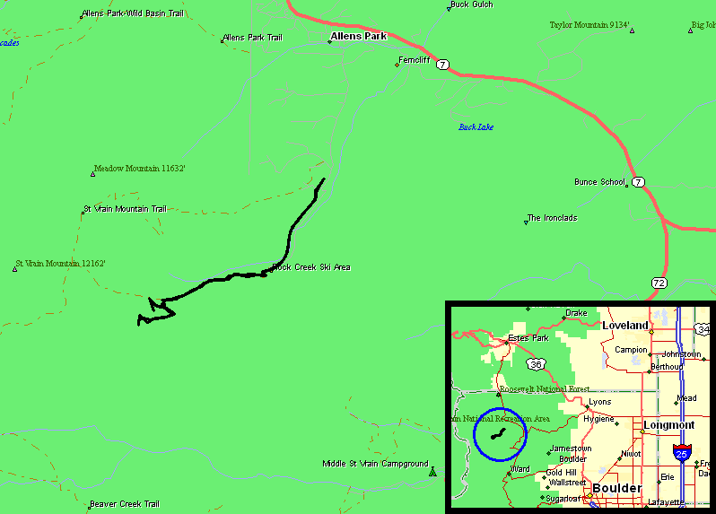
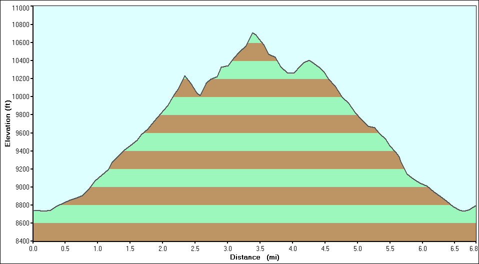
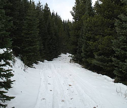
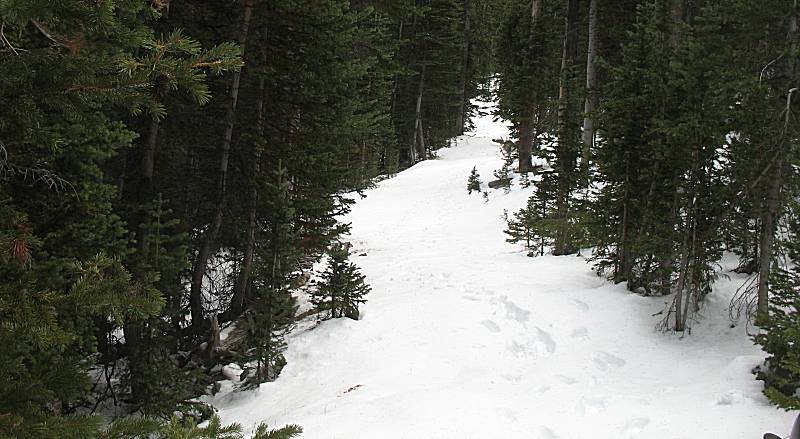
| Trail start to end |
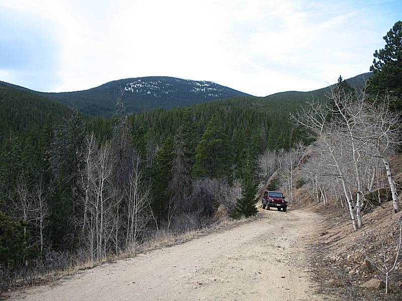
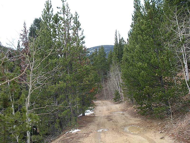
| We're heading in as another is heading out. No snow here. |
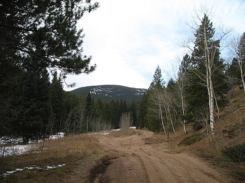
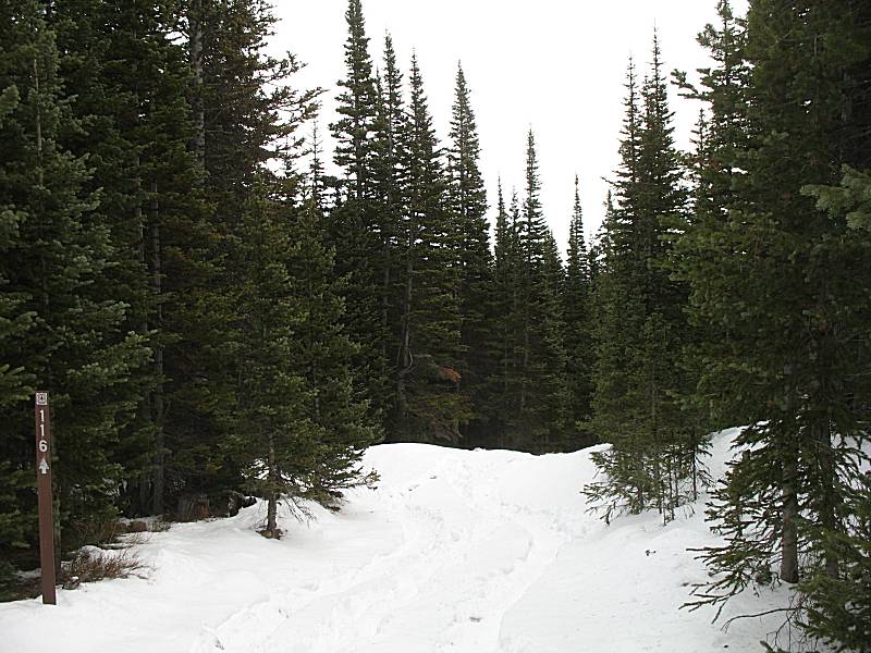
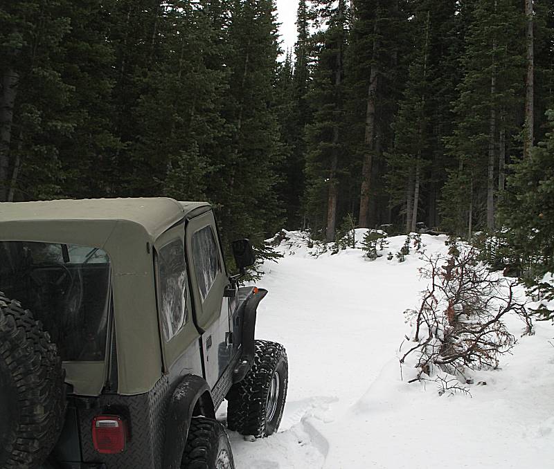
| A bit starting to show |
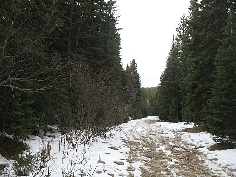
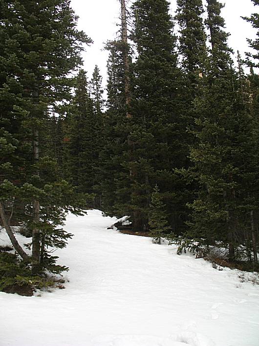
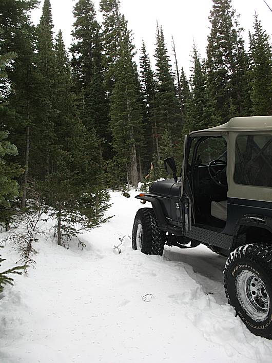
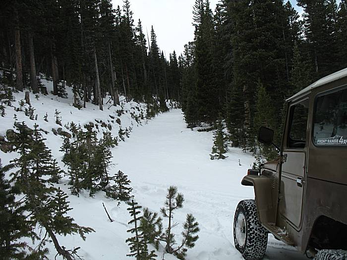
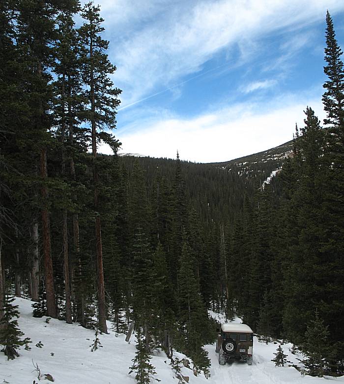
| Pine Tree Canyon, blocking the sun, keeping snow from melting. |
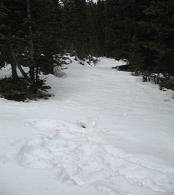
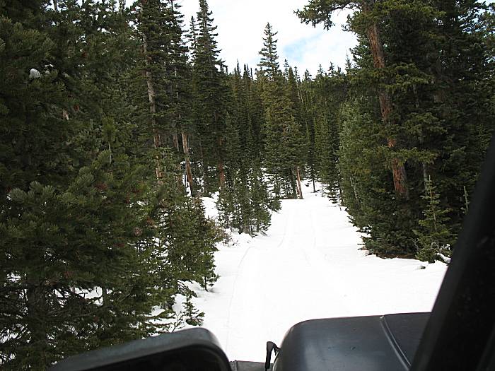
| Tire & foot tracks preceeding our visit... We'll travel higher than both. |
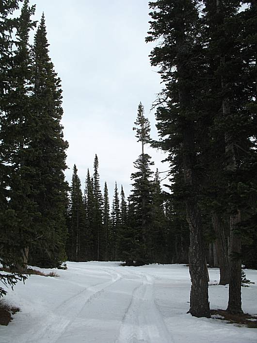
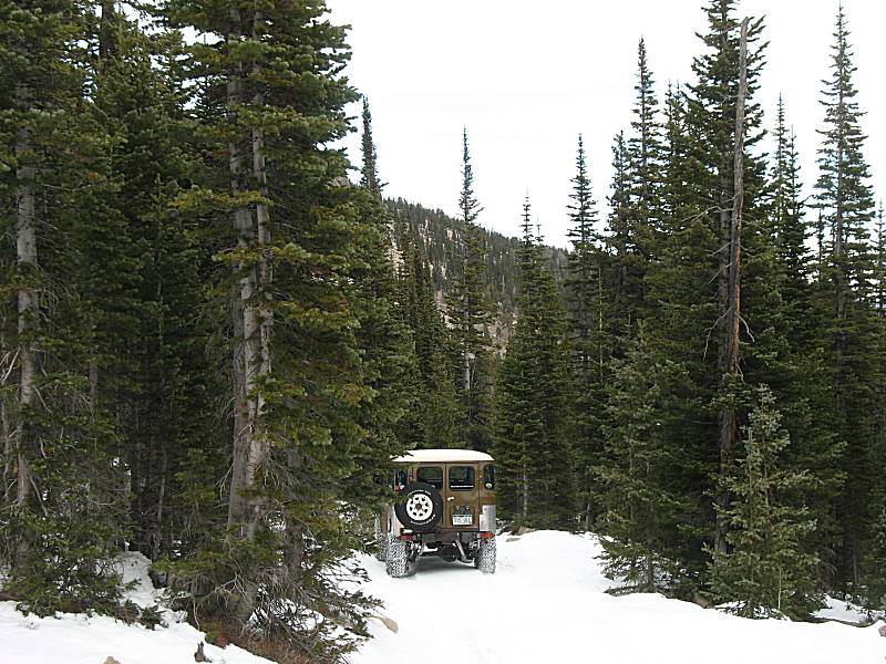
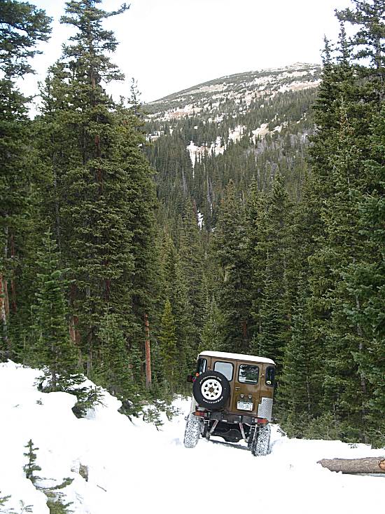
| Up where the hikers turned around. Tire tracks stopped long before. |
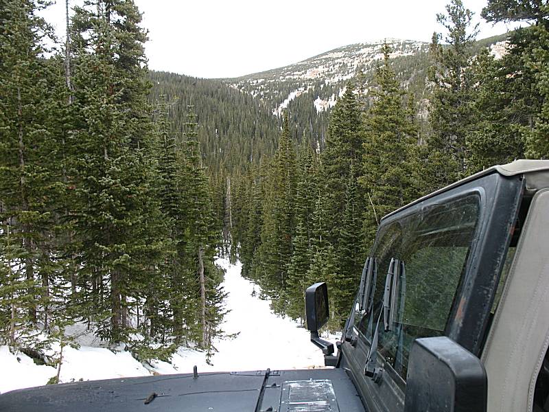
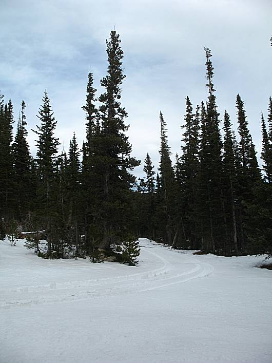
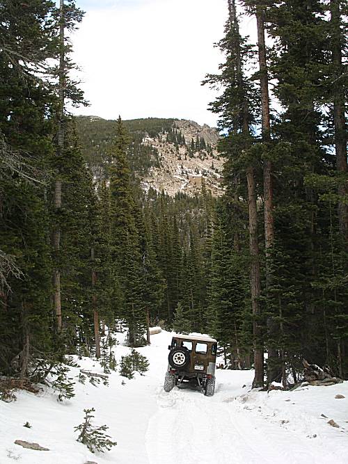
| Untracked snow ahead. |
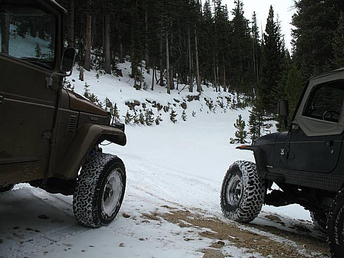
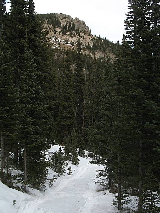
| Up at the top, ready to turn around. |
| Off to explore a spur or two... |
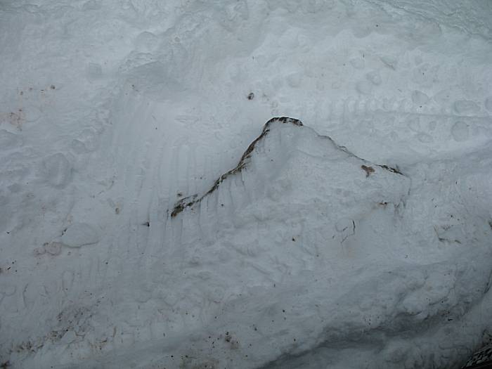
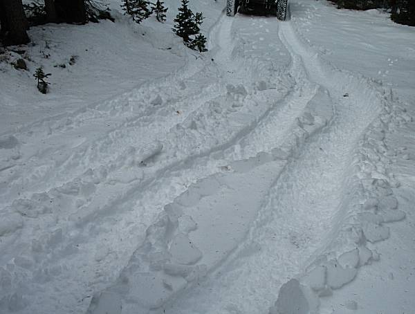
| Side-slip from a tire. There was a fair bit of that. A different feeling when the Jeep moves a bit unexpectedly. |
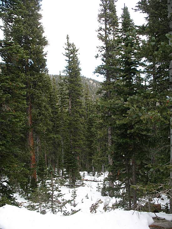
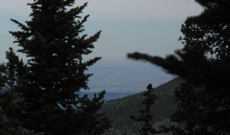
| One view between the trees to the plains |
| A short spur. We walked to the end (just before the end shown in the photo) first. There was a bit of downslope angle that made for a question if it would be too much. The slope wasn't dangerous with a bonus of having many trees as the trail's edge (to arrest any slide). We decided to give it a try. The slope didn't end up being any significant issue. |
| I was driving along, front wheels pointed straight ahead, but the rear wheels were sliding downhill enough to make four independent wheel tracks. |
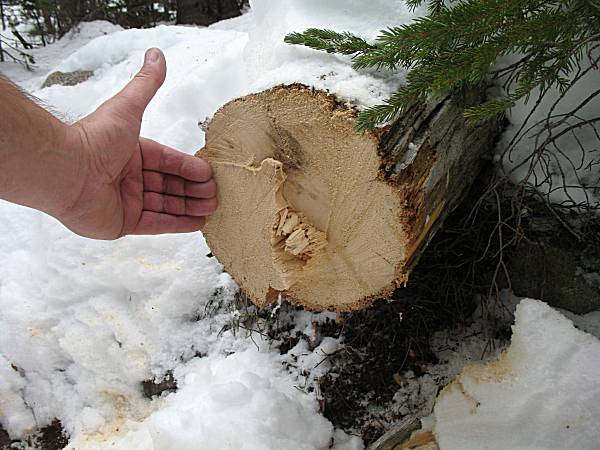
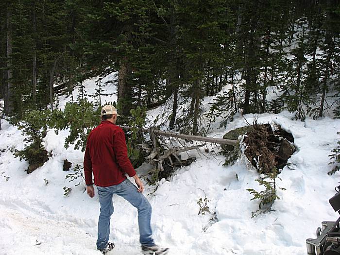
| At the end was an old tree across the trail. A bit of sawing had it cleared. |
| Earlier in the day Rob dropped a D-Ring bolt. On the way out we stopped to look for it - and found it! |
| I decided to travel home the back way, via Estes Park. Getting ready to turn North at Allens Park. |
| Up at Estes Park - the eastern portal pool of the Alva B. Adams tunnel. |