Luke to Colorado to check on the DeBeque property.
| Luke flew out for a visit to his home
north of DeBeque. The goal is to check / repair some fence, tend the
property, and see some friends (and perhaps some scenery via
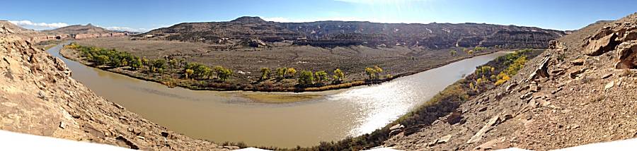
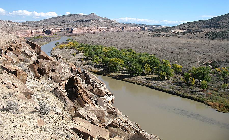
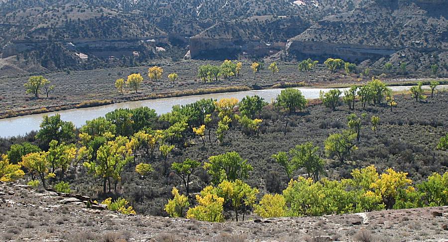
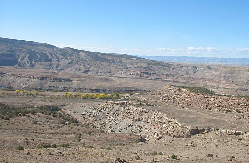
a jeep trail or three). I picked him up Thursday afternoon and we made a stop at the Lefthand Canyon trail on the way back to Fort Collins. Up at the Fireman Hill lookout we saw an elk walking in the brush. Friday was a stop to the Argentine Pass trail on the way over to DeBeque. While the views were enjoyed, we were stopped by snow before reaching the top. Clouds and a light rain started near the of the trail while we had decent sun for the first part of it. Saturday, only four photos, found us inspecting and tending the fence in the valley with an afternoon trip to Grand Junction for supplies and a quick "hello" with Jan the realtor. On Sunday we went back to Grand Junction for breakfast with Terry. We made a stop at his house that he built (quite nice and practical with good energy efficiency) before he and Colleen showed us the McInnis Canyons area. The Horsethief Canyon lookout over the Colorado River was but one picturesque spot. |
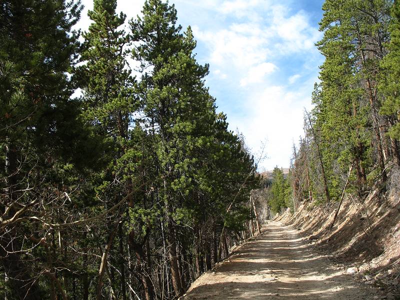
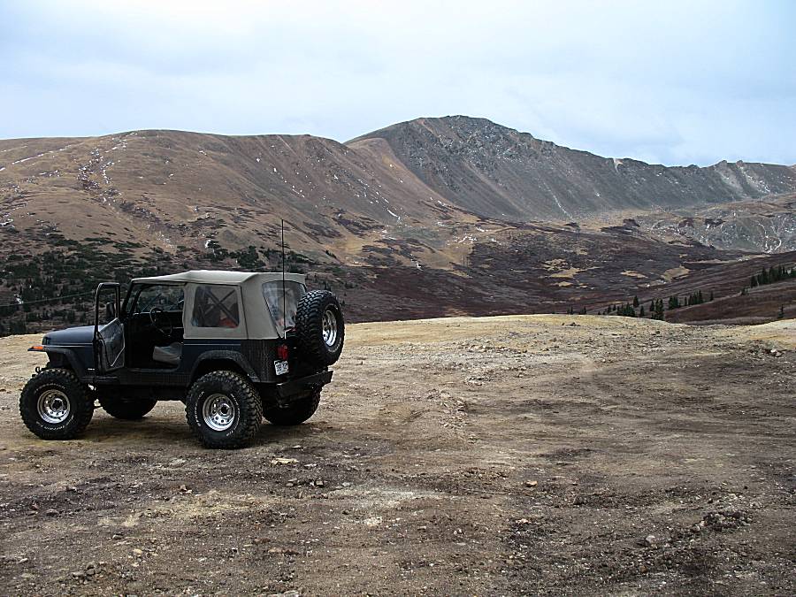
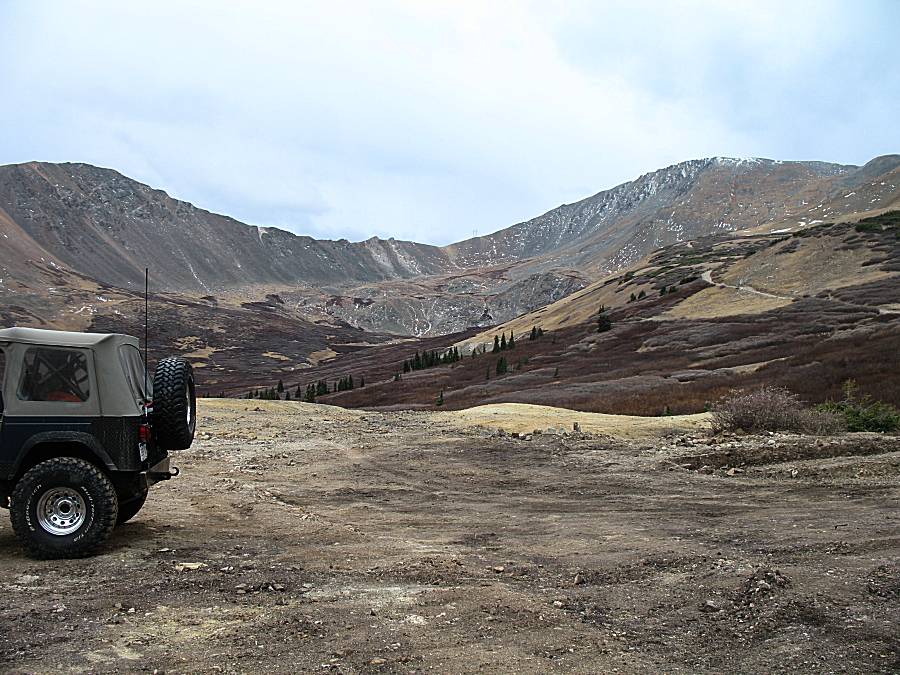
| Near the start to the Argentine Pass trail. A fair bit of sun, but only for a little while. |
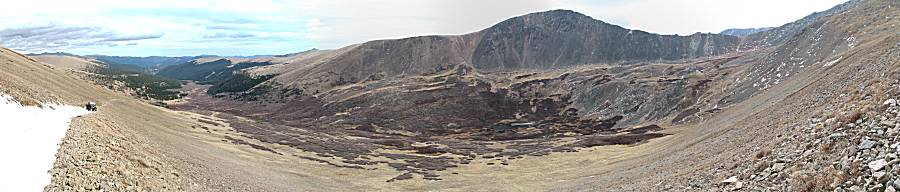
| Panorama Click for a larger size |

| A touch of snow. |
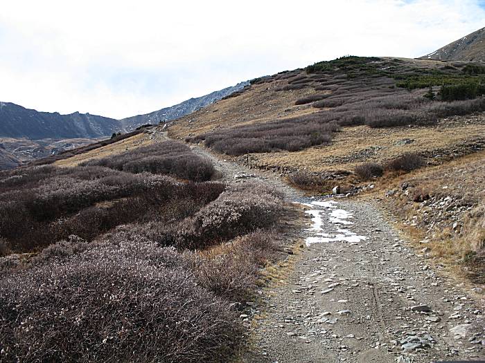
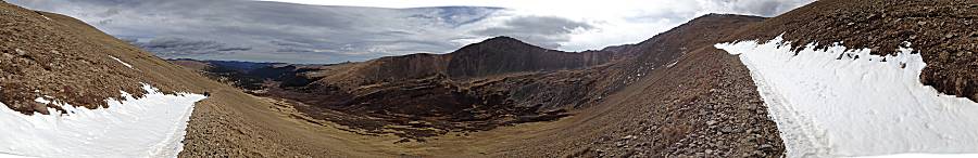
| And then, higher up, enough snow
to stop our progress. No trip to the pass today. Panorama Click for a larger size |
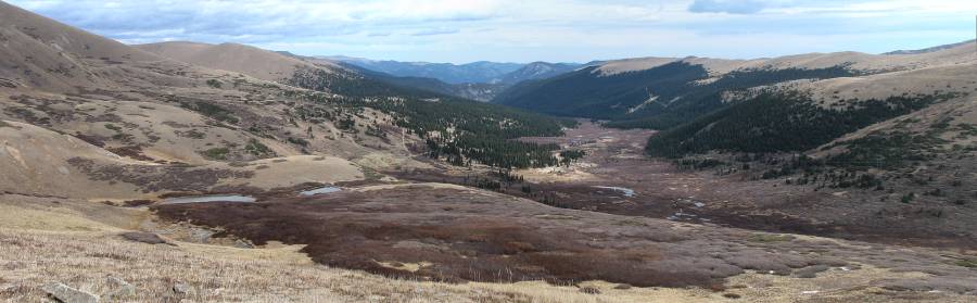
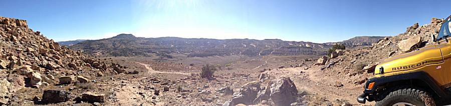
| Panorama Click for a larger size |
| Panorama Click for a larger size |
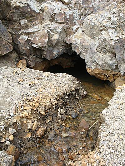
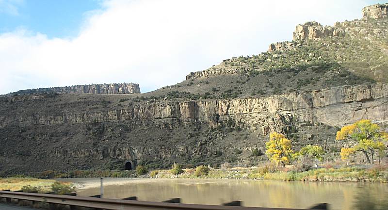
| Drainage tunnel from the area mines. |
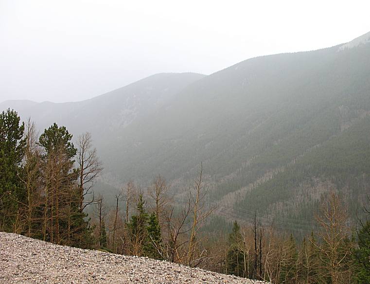
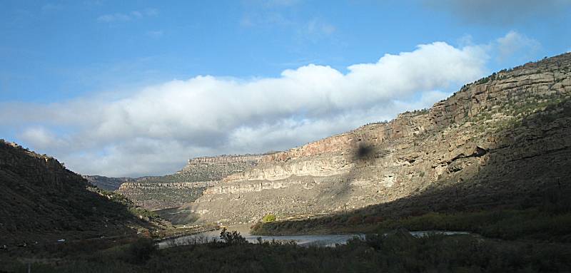
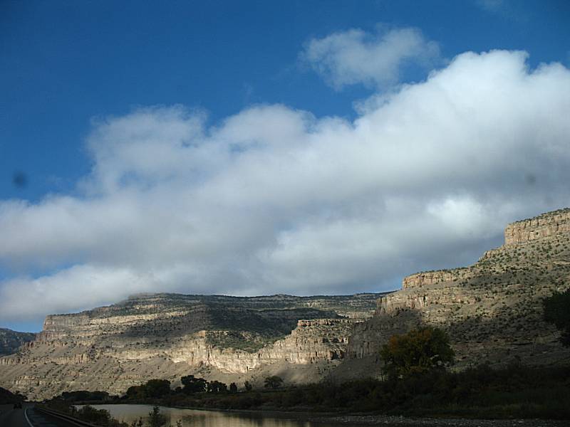
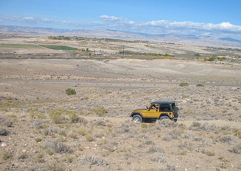
| You can just make out the power transmission lines on the valley. They connect the Hayden or Craig Colorado coal gen plants to the Denver area along with mountain towns along the way. The lines come up the valley and over the ridge. They are in most of the valley photos but are generally not visible (nice!). |
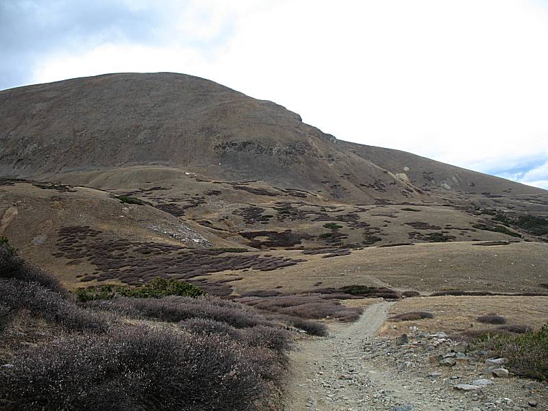
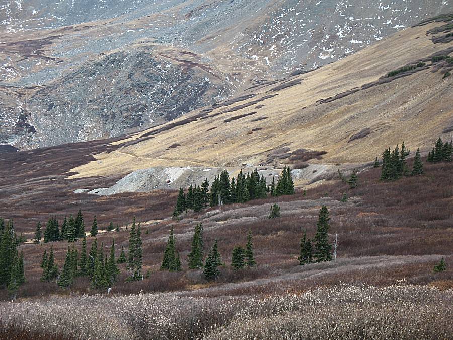
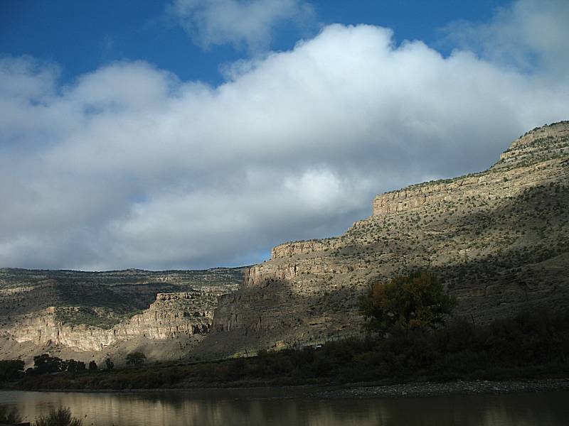
| If you look closely, on the ridge right about the center of this photo (left to right), you can see the power line poles as the lines go up and over the mountains. |
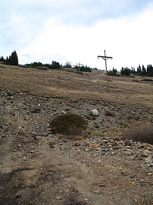
| Not the same power lines as mentioned above - these are for the old mine operations. |
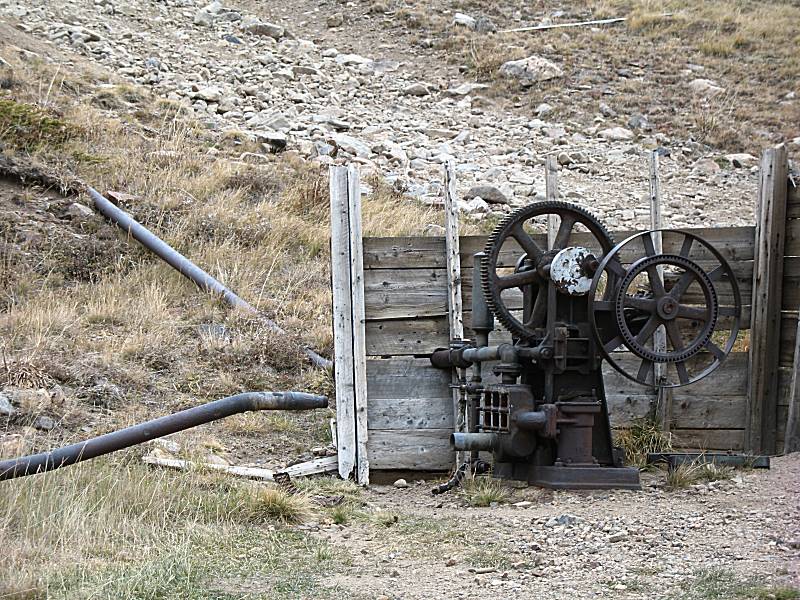
| I think this is a water pump. |
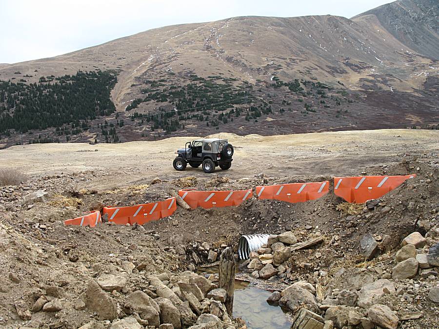
| Here comes the rain. The power transmission lines are more visible in the valley below. |
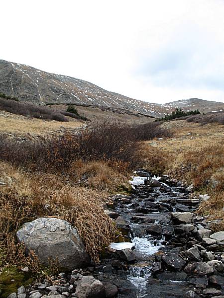
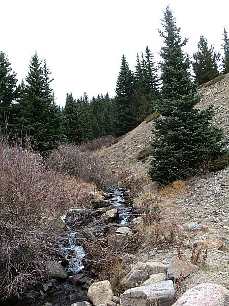
| Last photo from the Argentine Pass trail. The mine drainage (photo above) would be a component of this stream. |
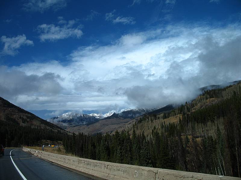
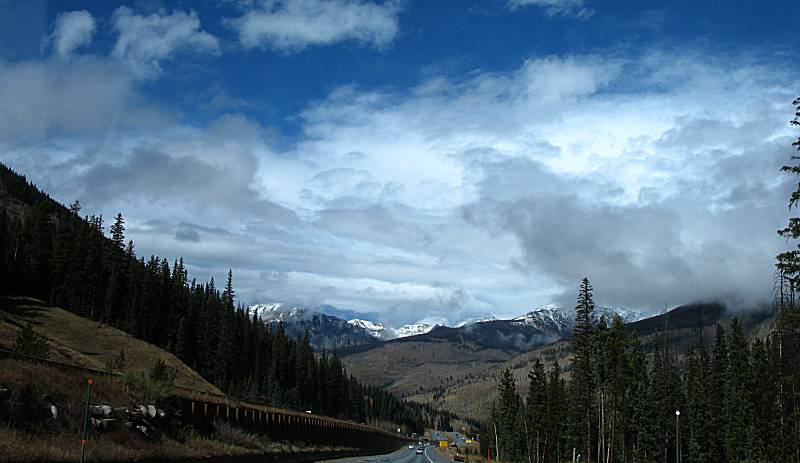
| Out from the trail, through the Eisenhower-Johnson Tunnel and rolling down the western side of the divide. The road is still wet though the sky is clearing. |
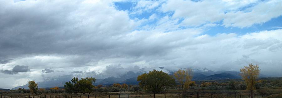
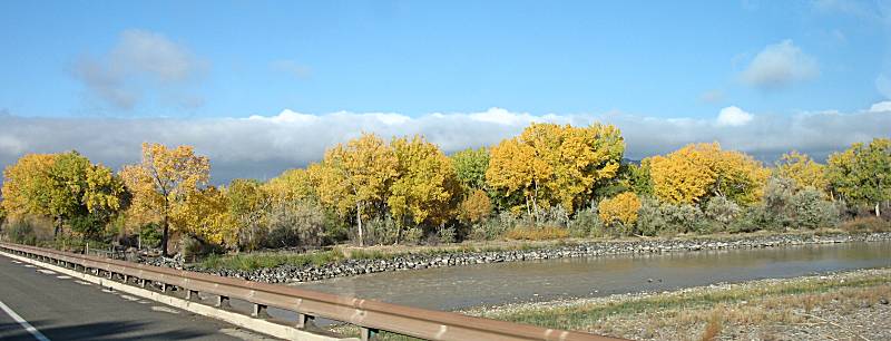
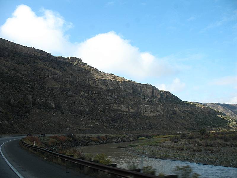
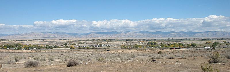
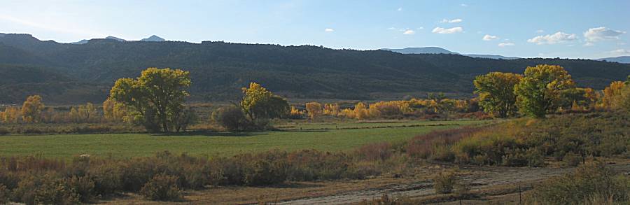
| Generally "out of the mountains" and into the flatter valley between Glenwood Springs and DeBeque. |
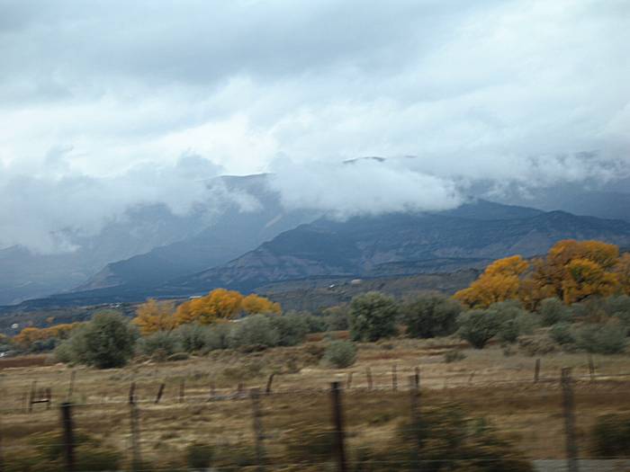
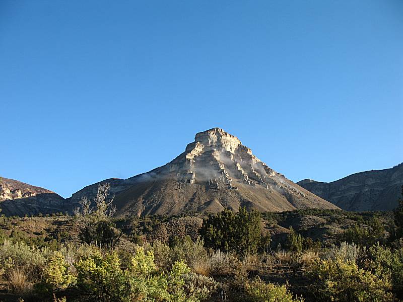
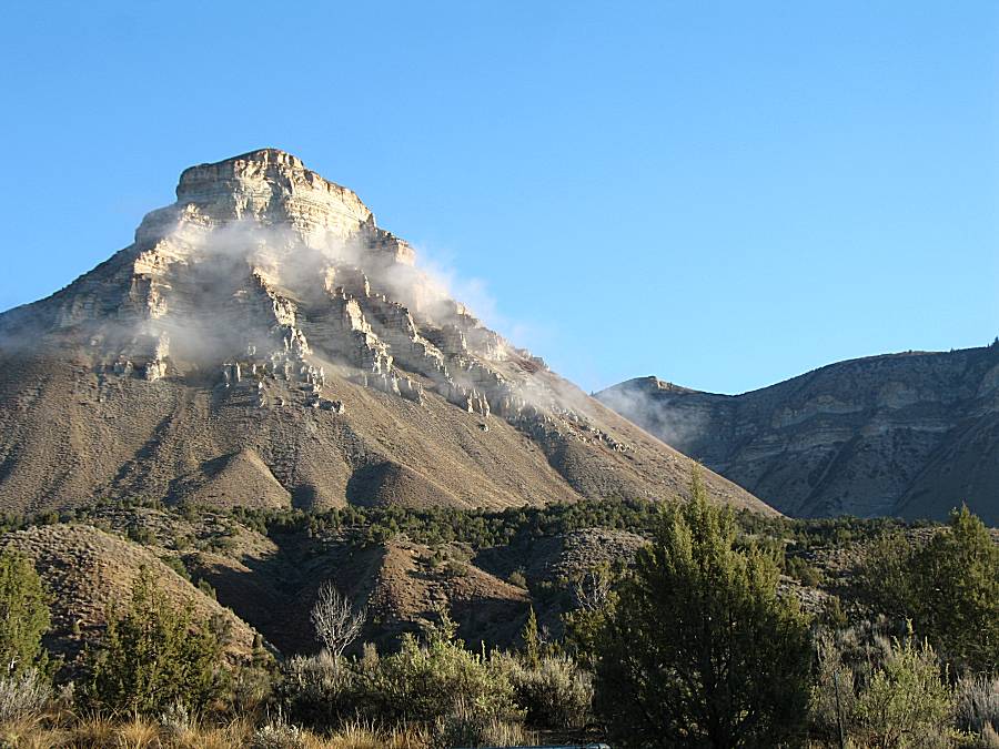
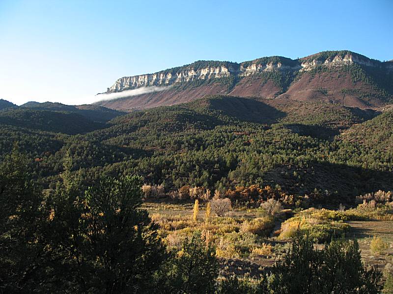
| Heading up the Roan Creek valley north from DeBeque. |
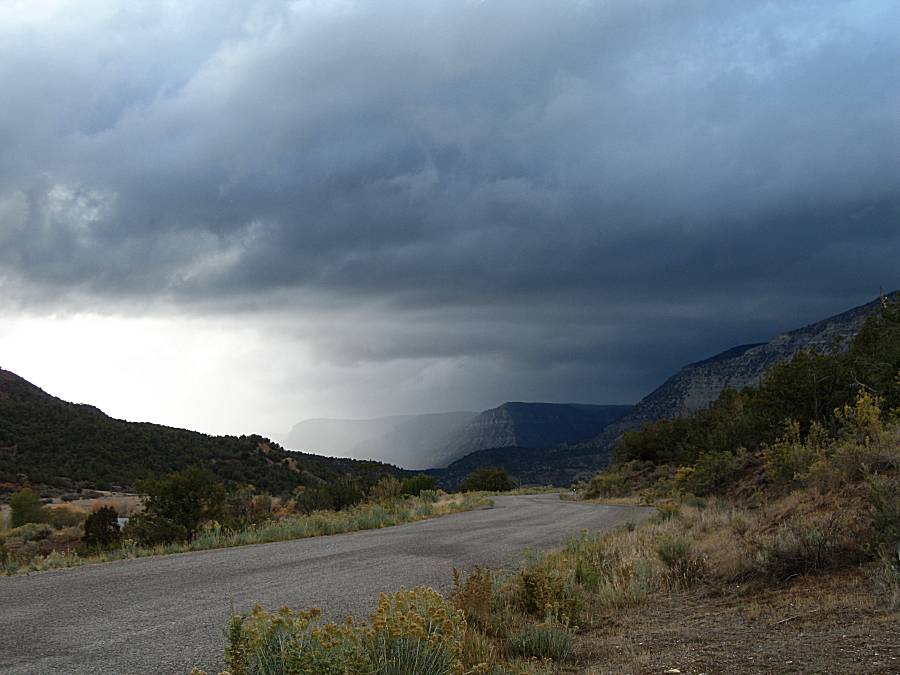
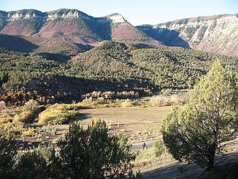
| A few miles from the property. |
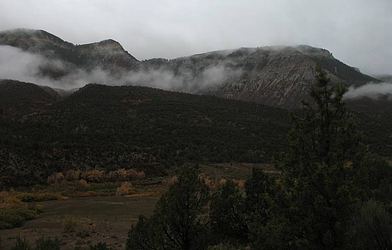
| The house is right about where that rain is coming down. |
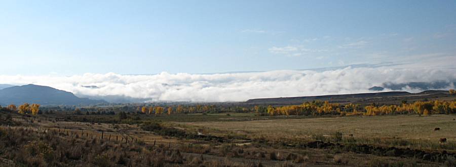
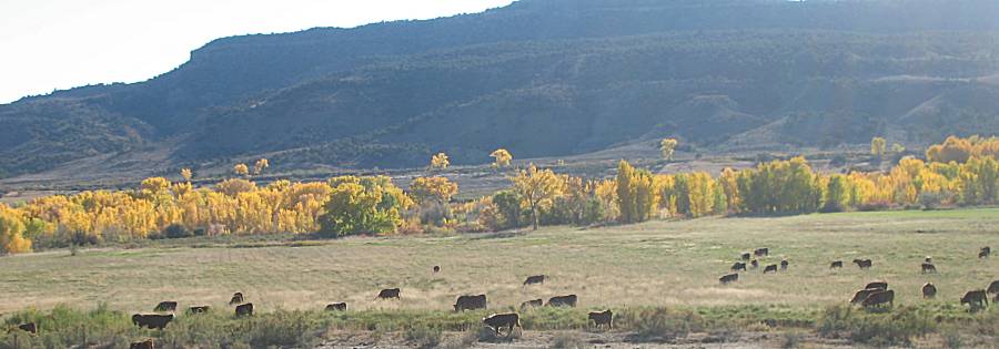
| Saturday Inspect and repair the fence. Mow around the house. A damp, low cloud morning. |
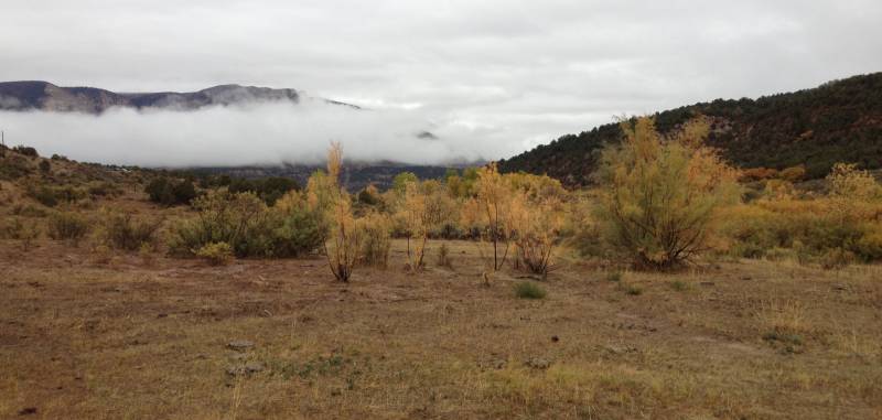
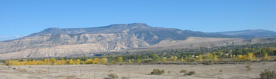
| From the grazing land looking up towards the house. |
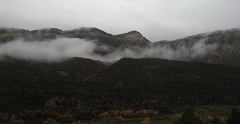
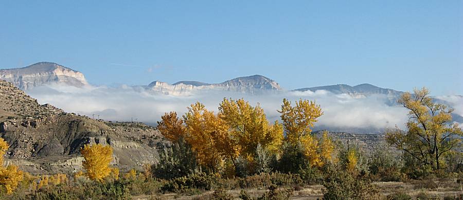
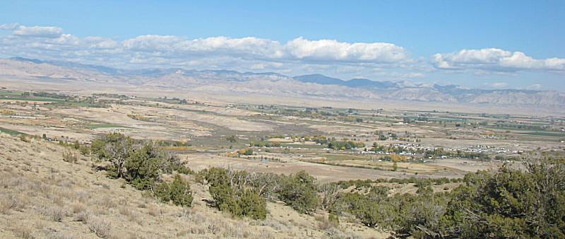
| From the porch looking across the valley. A few crows flying along. |
| Sunday Meet Terry for breakfast, travel back to his place for a tour before he and Colleen showed us the McInnis Canyon trails area. |
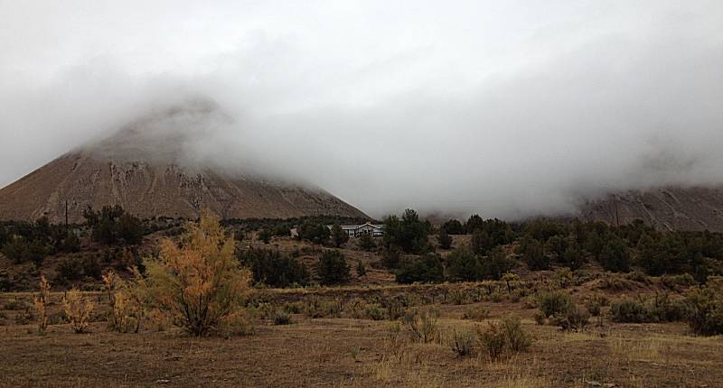
| View out the kitchen window (mostly, it was from outside for clarity). |
| View from the front of the house with morning sun. |
| From the yard, looking down to the fence / gate area that we worked on. |
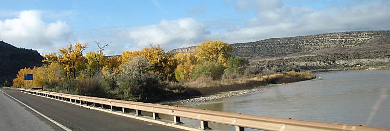
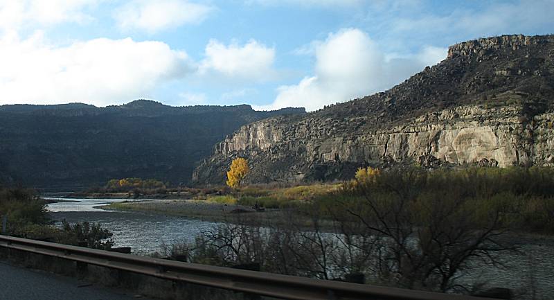
| Driving down valley towards DeBeque on the way to Grand Junction. |
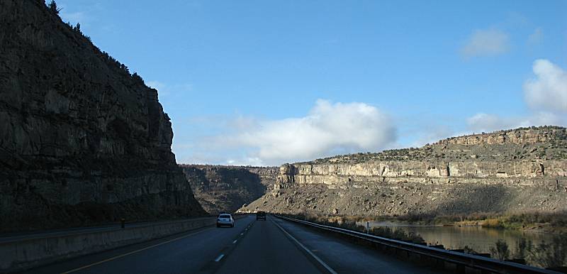
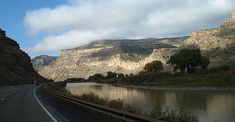
| I-70 over the Colorado River |
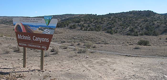
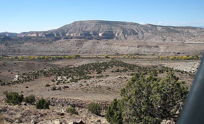
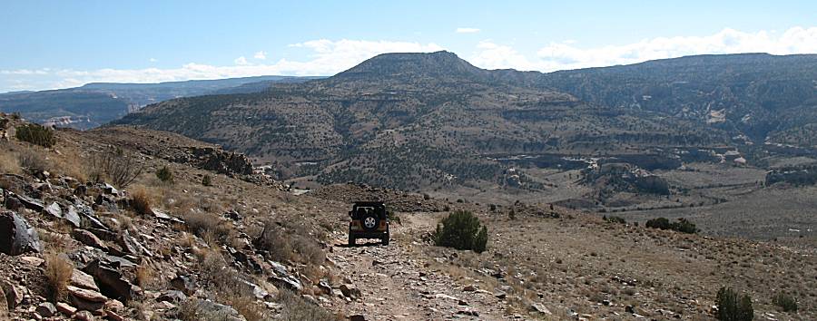
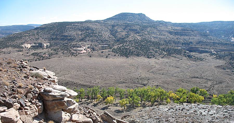
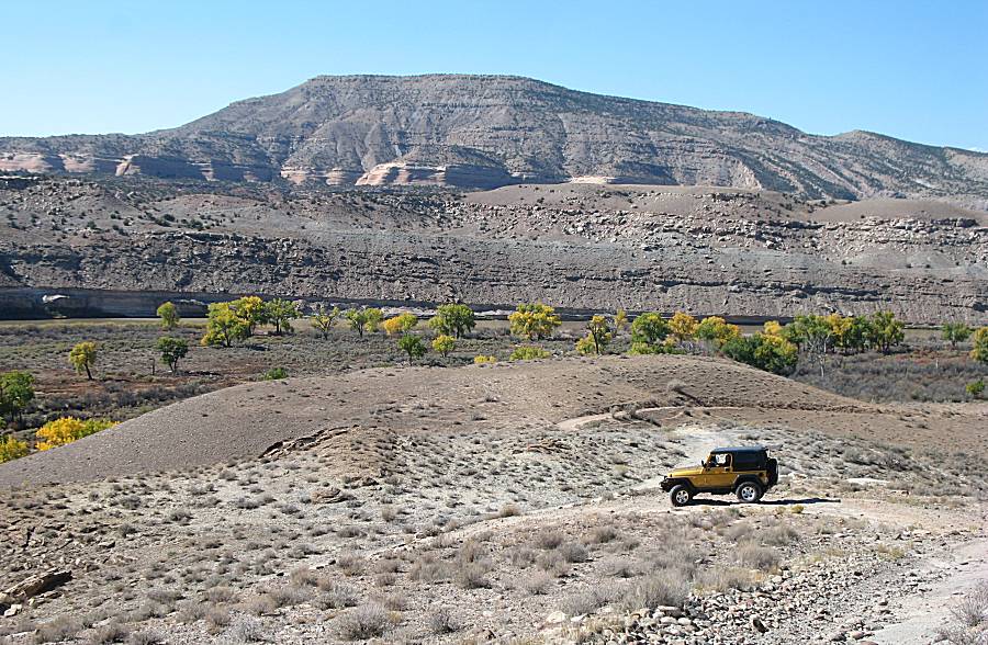
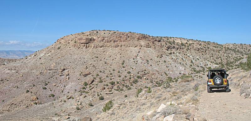
| The start of the McInnis Canyons trail to Horsethief Canyon. |
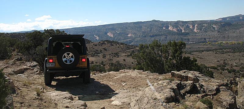
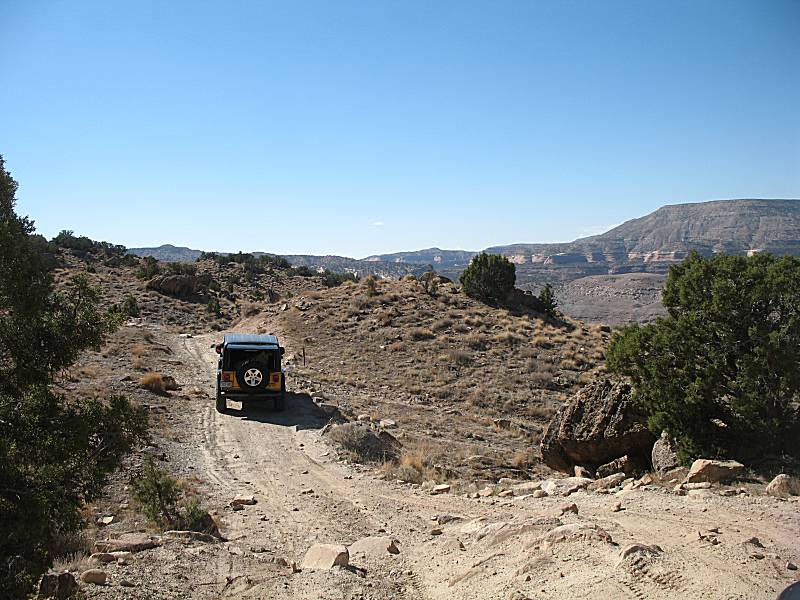
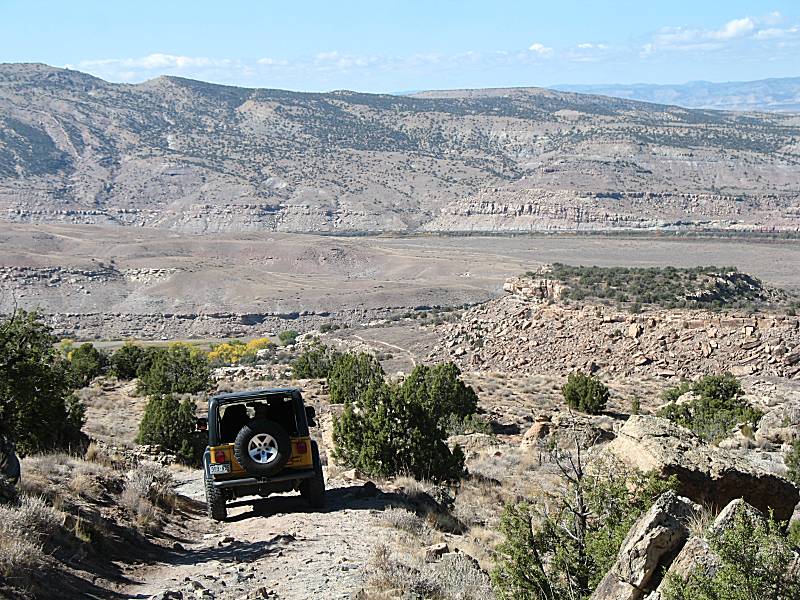
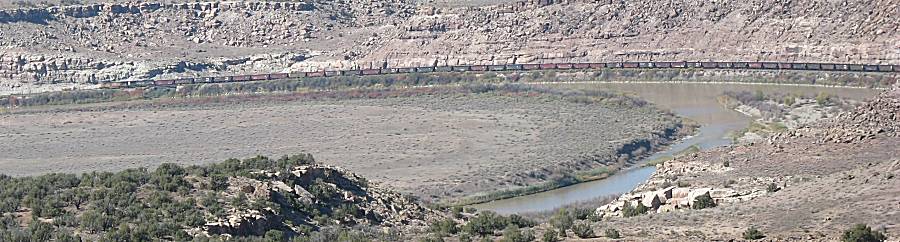
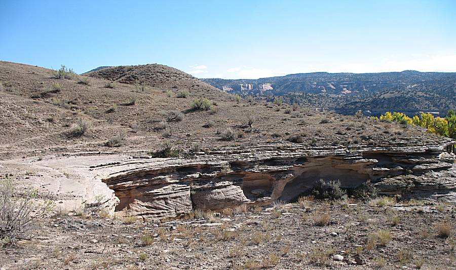
| Grand scenery, jeep trail, plus a train... `tis all good. |
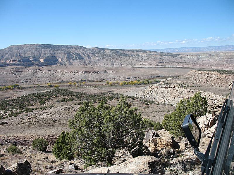
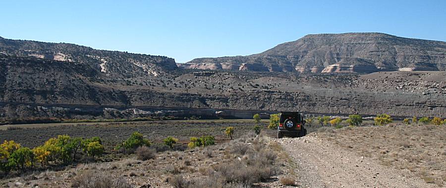
| Intersection - Bicycle trail crossing the jeep trail. We saw a handful of cyclists on the trail. |
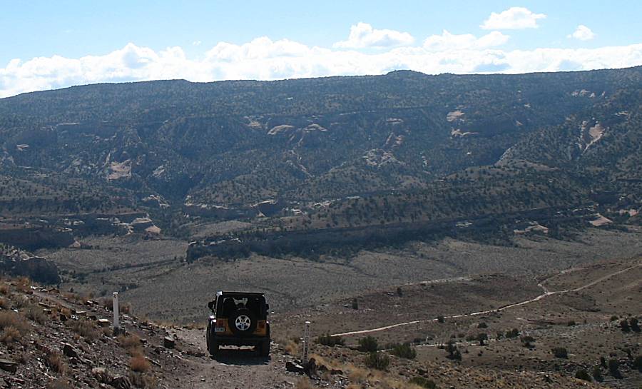
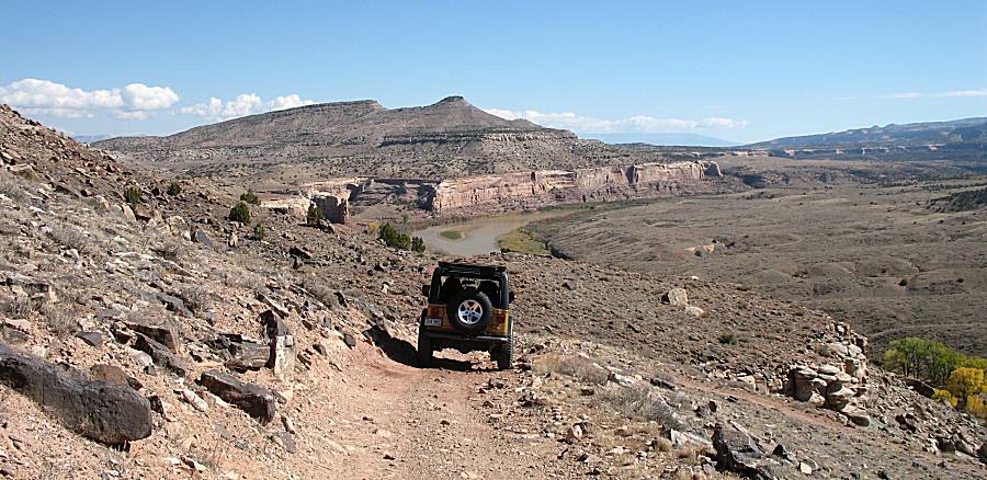
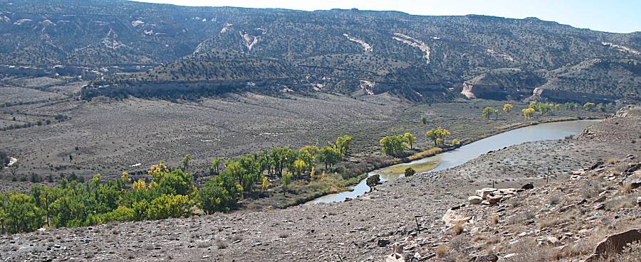
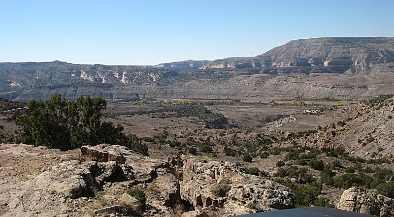
| Terry said that is used to be possible to drive across the river, right about here, and connect with the trail on the other side (but that trail is now gated). |
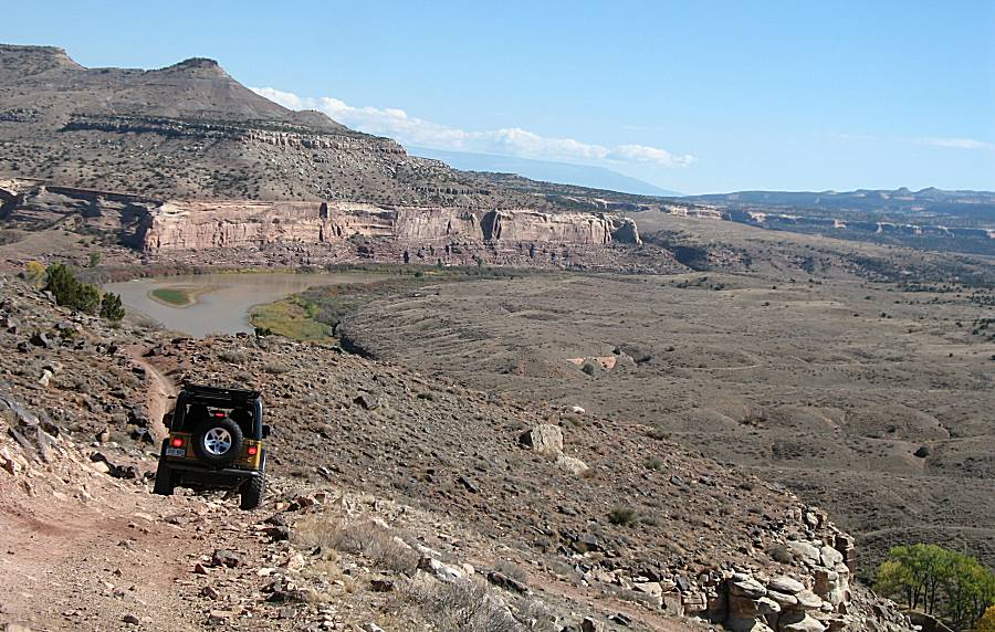
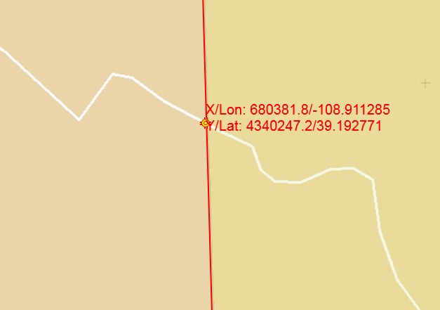
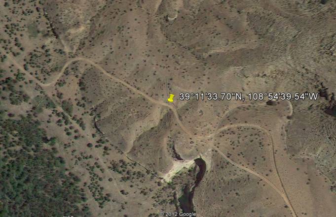
| We arrived at another gate. It was openable but we turned around. There
was a thought that the gate / fence is incorrectly placed so I checked
property lines to match it up to where we were standing. The fenceline
seems "about right" to me. The site I found for the property line was: map.mesacounty.usslmapdefault.htmmaptype=trails http://www.imap.mesacounty.us/MapSearch/ The top image is the property line while the bottom is an aerial view with the fenceline partially visible. |
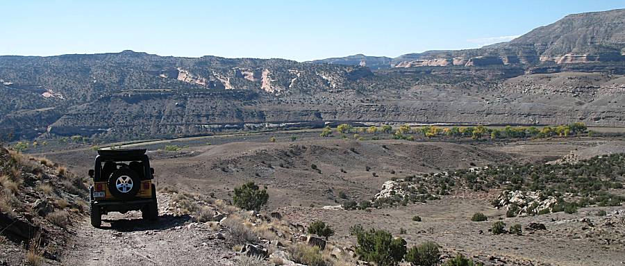
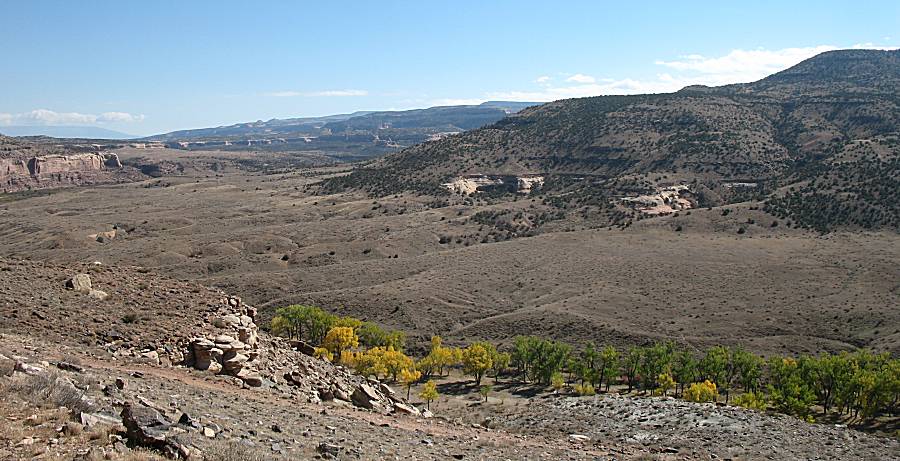
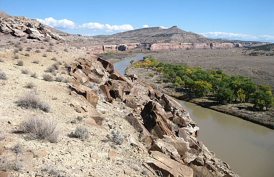
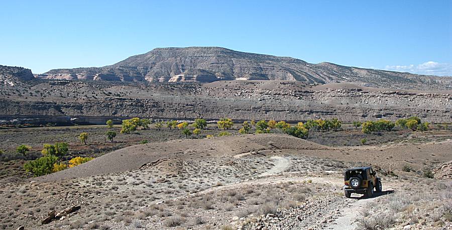
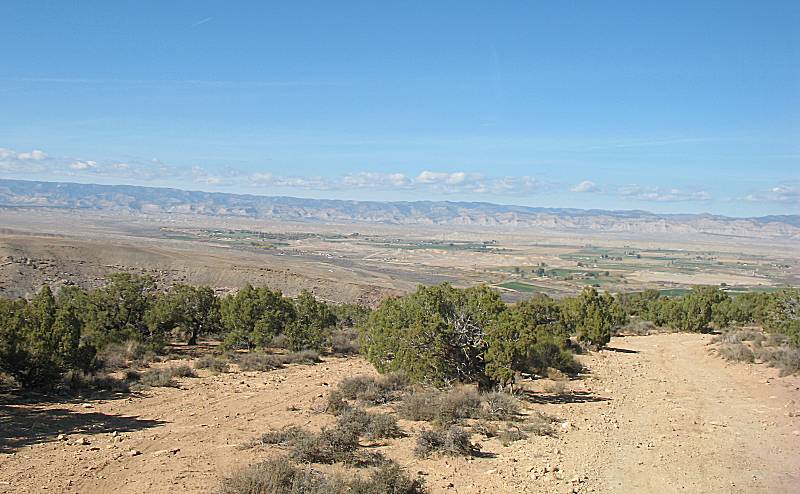
| Our visit will be for an In-n-Out route. We've turned back to see the sights from a different perspective. |

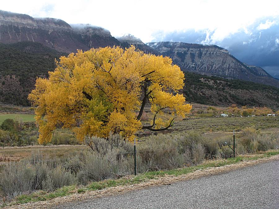
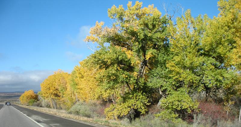
| "that tree" a couple miles from the house. We're heading to the house to finish some work before driving to Fort Collins. |
