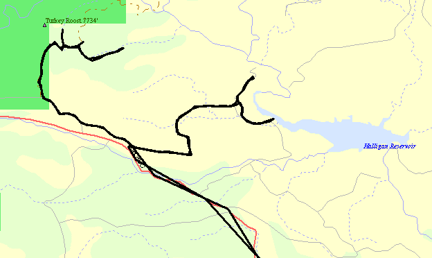
Halligan Reservoir trails & High Park fire
|
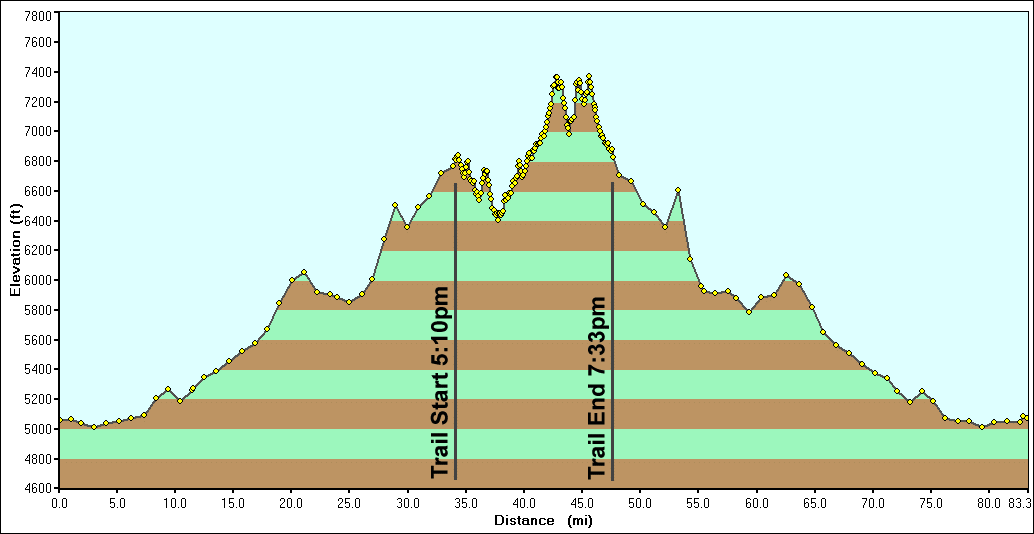
It's a rather warm Saturday and I have but a few things to tend at
home. Should time allow, I'd like to explore the trails around the
Halligan Reservoir. The area is higher than in town so the temps should
be cooler (they were, and were perfect!). I visited there a couple
years back, in the car,
and could not travel a few of the trails as they could use a vehicle
with a little more ground clearance than I had. Today is one of those
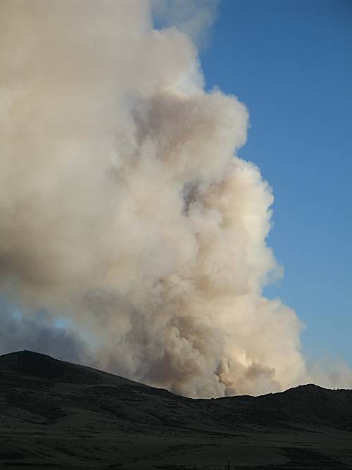
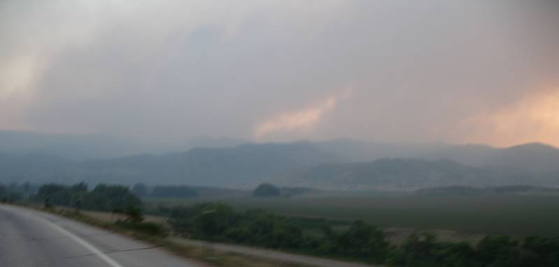
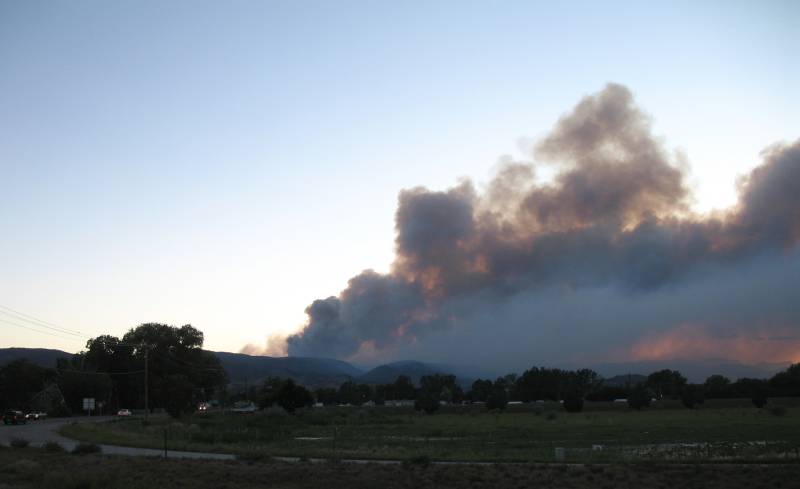
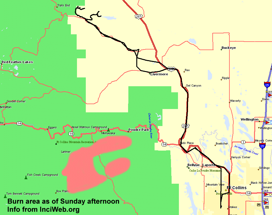
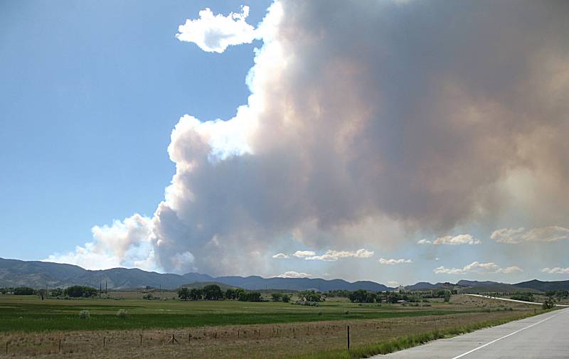
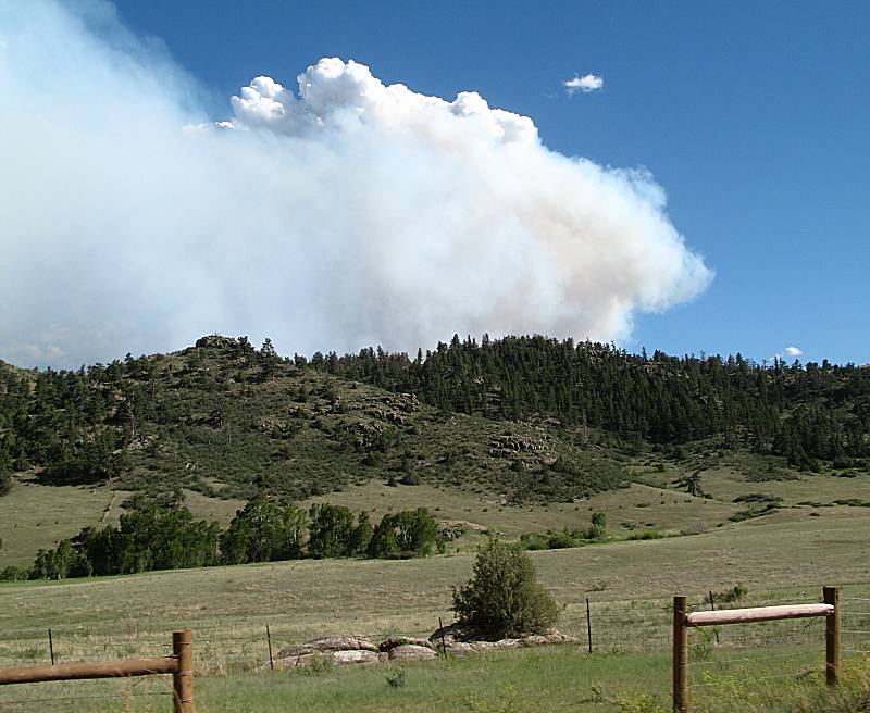
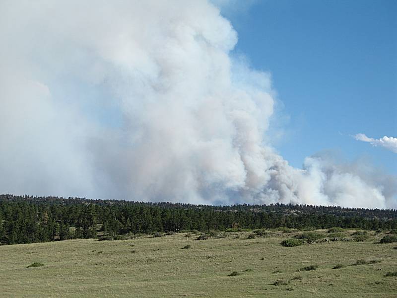
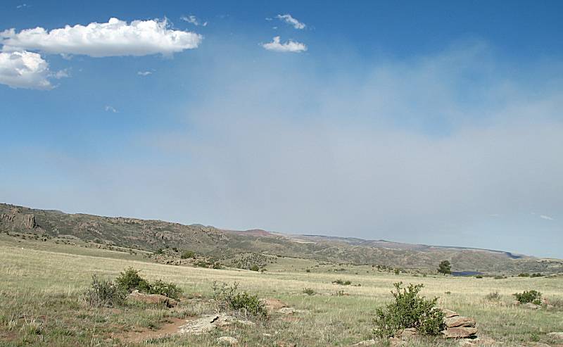
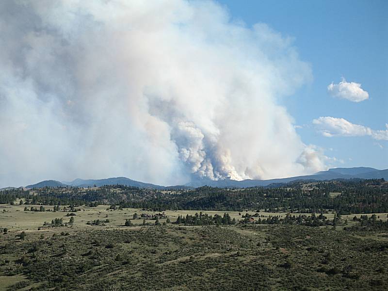
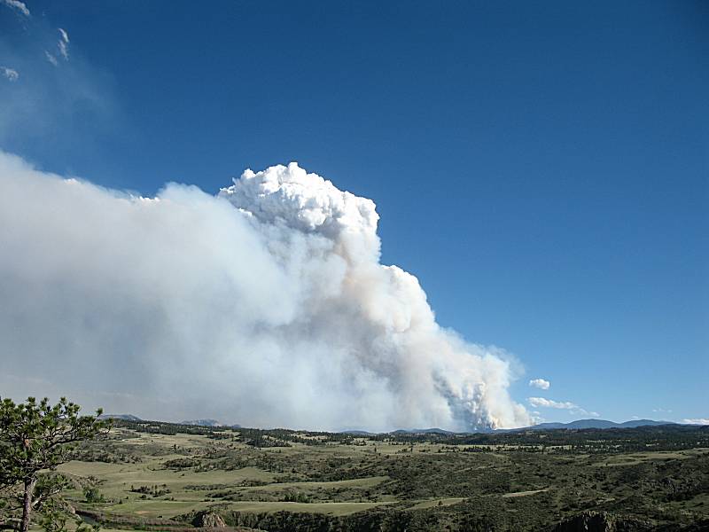
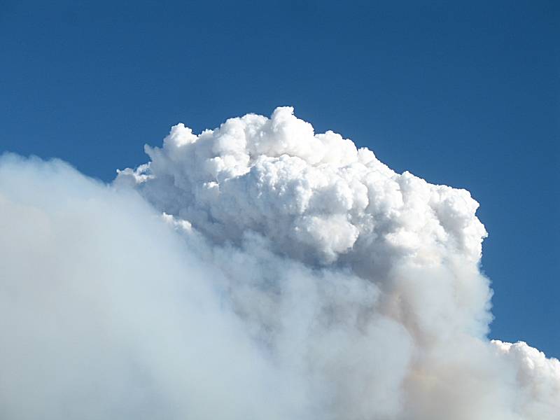
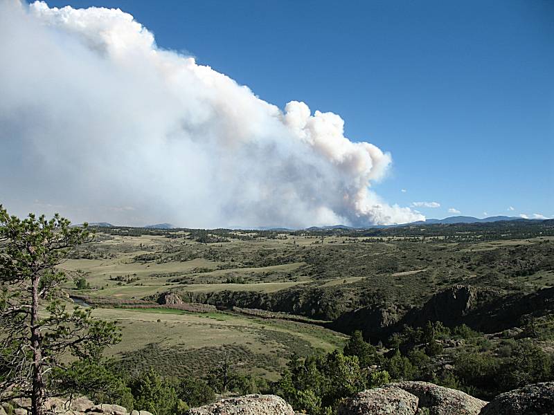
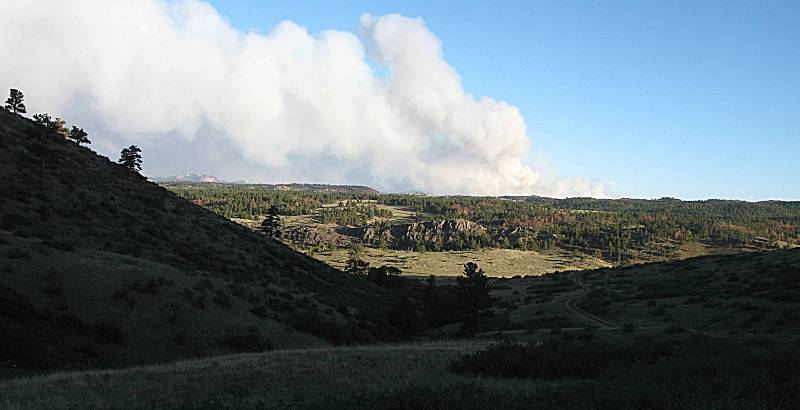
"some day" days. The Halligan Reservoir area has the Roosevelt National Forest, green on the map below, and Cherokee Wilderness around it. It seems many of the spur trails are used by fishermen who drive in as far as possible/reasonable and then hike farther down to the river. Also of note is the High Park forest fire. I noticed smoke from it earlier today and it was new and fresh (the beginning of the smoke was visible). The fire is about 10-15 miles west of town and has grown quickly with the low humidity, high winds, and dry conditions. My guess - human started (camp breakfast or working outside with something that produced a spark). The Incident Information System web site (forest fires status) has information on it. Should that web page be removed, here's an archive (PDF) file of the current status.
Video Lookout area and High Park fire 2012-06-09--halligan-reservoir--high-park-fire--jimwilliamson-net.mpg 1m39s, 11.5MB, 640x480, MPEG1 |
| Heading up US-287 towards CO-14 / Ted's Place |

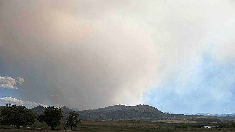
| Now north of the fire in the Cherokee Park area |
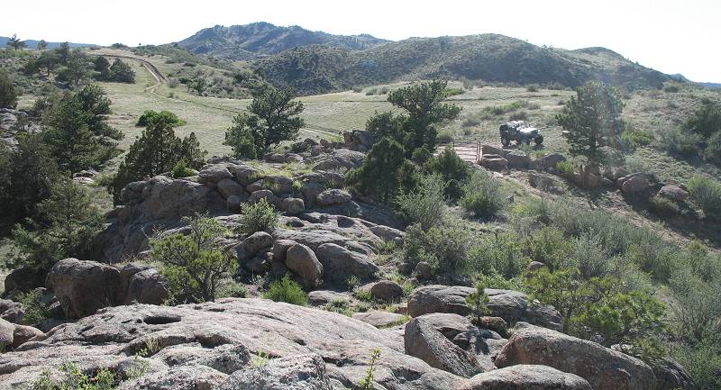
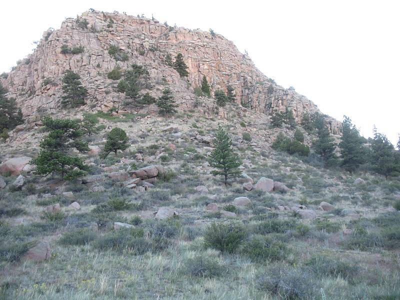
| The "right" spur set that heads to the overlook and reservoir |

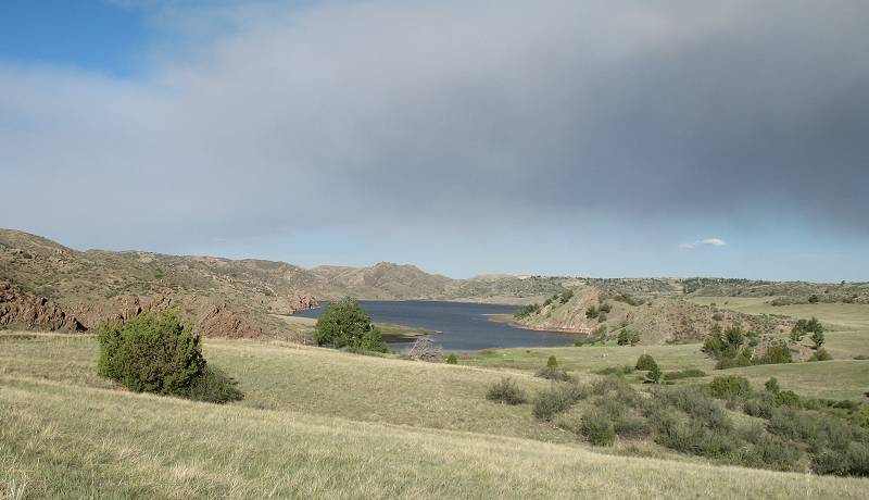
| The Halligan Reservoir is visible at the right. |
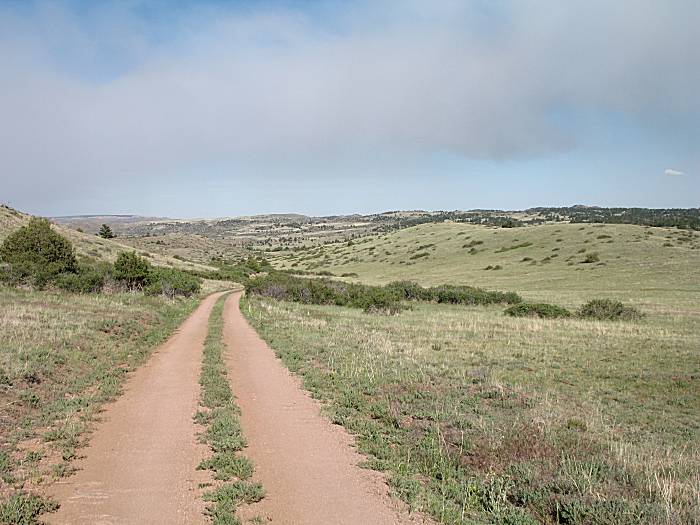
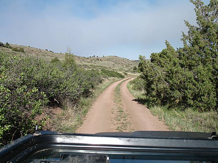
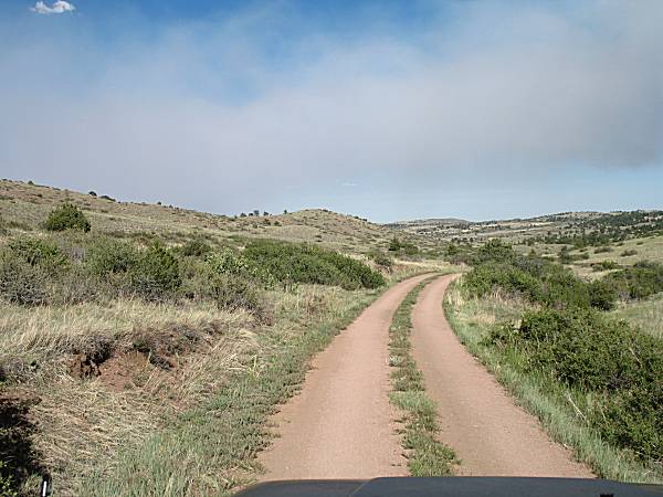
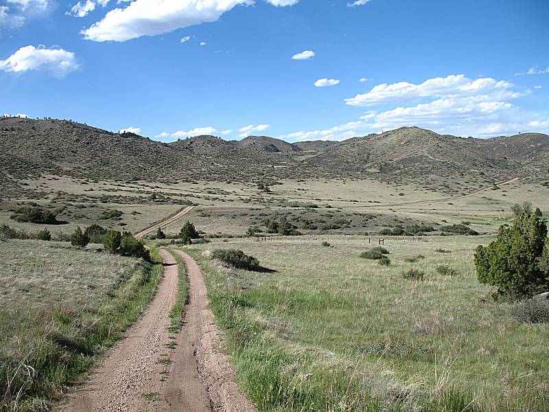
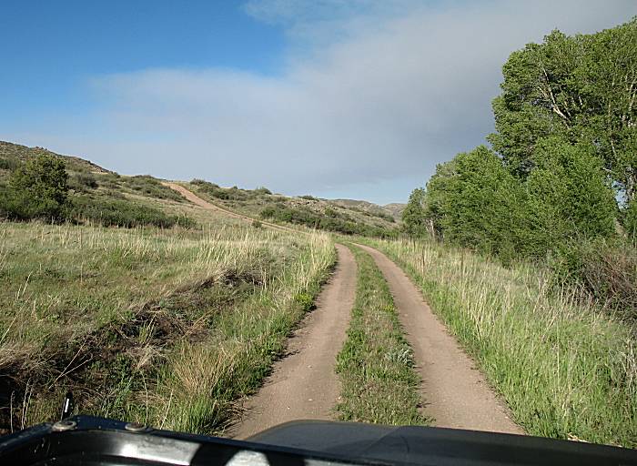
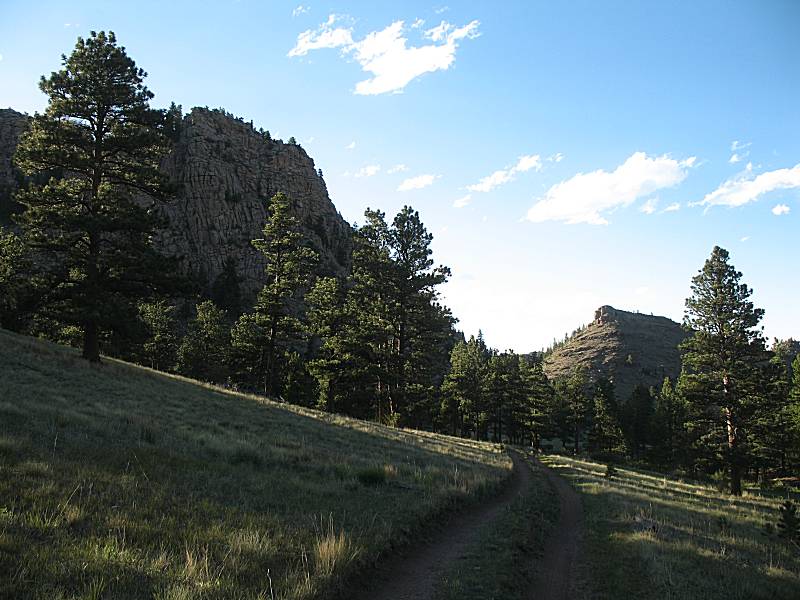
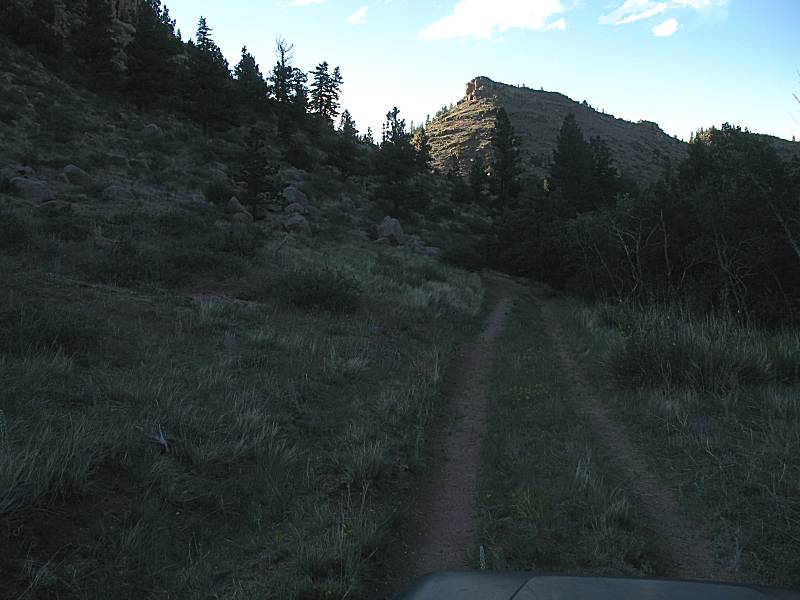
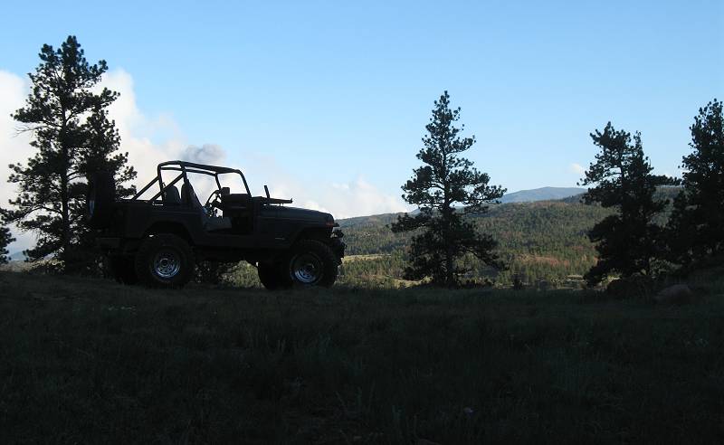
| Road / path less traveled. On this nice day, rather relaxing... |
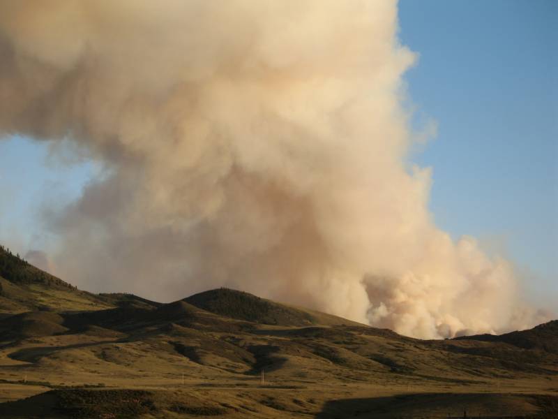
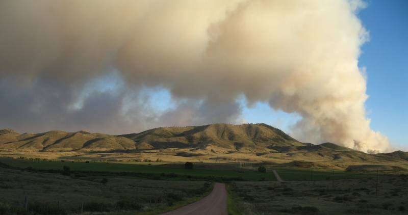
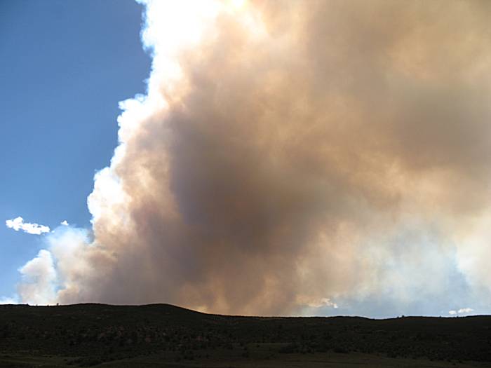
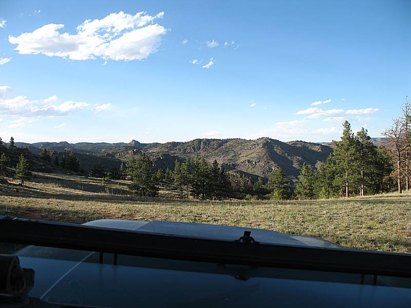
| About ten miles to the south is the fire. Somewhere about 7000 acres in size at the time. |
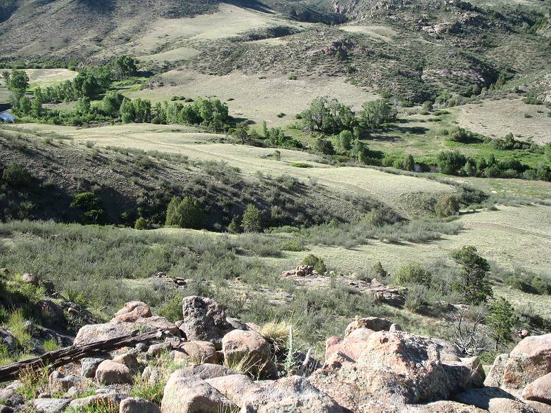
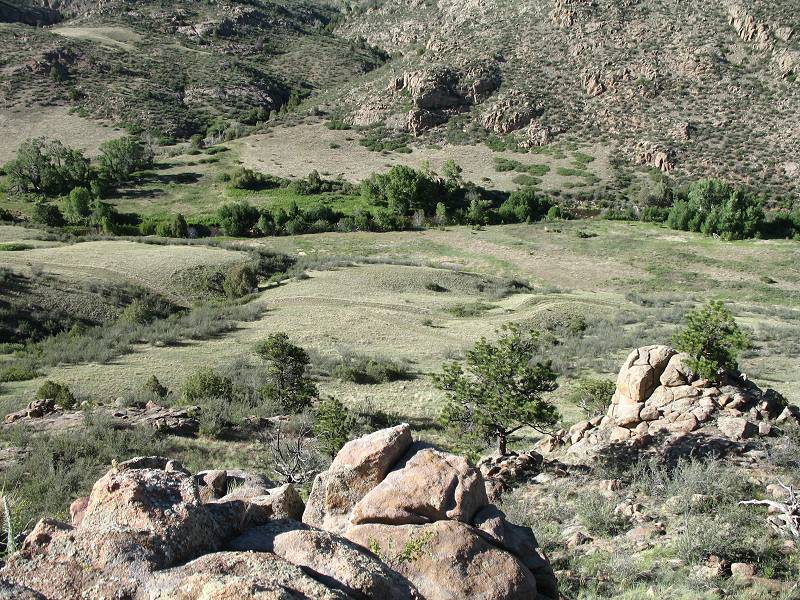
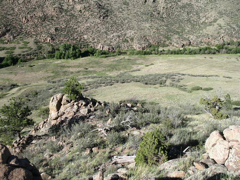
| At the "overlook" spur |
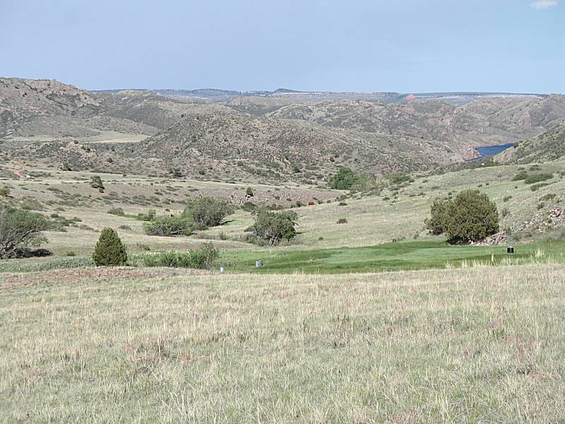
| The north fork of the Cache La Poudre river before it enters the Halligan Reservoir |
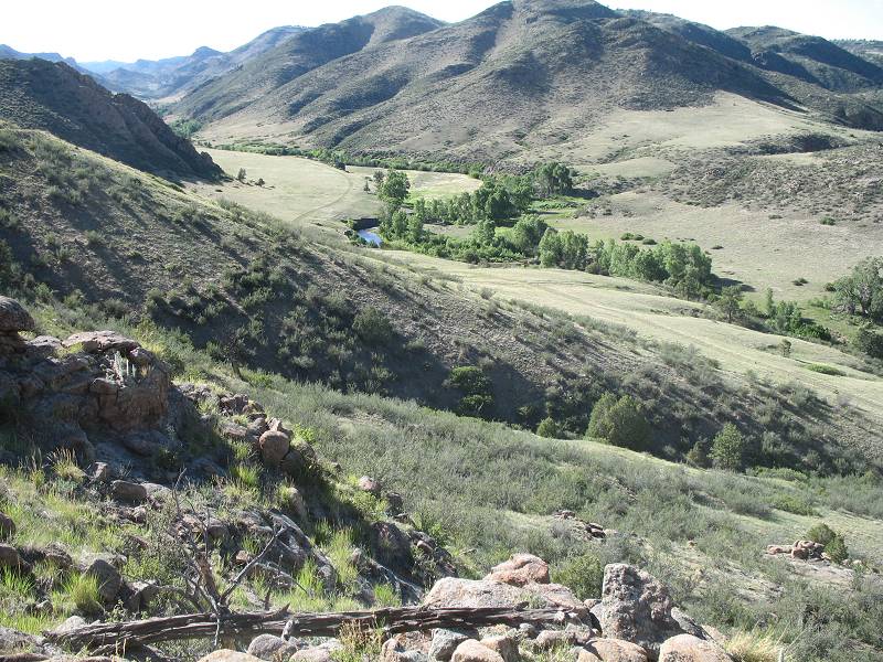
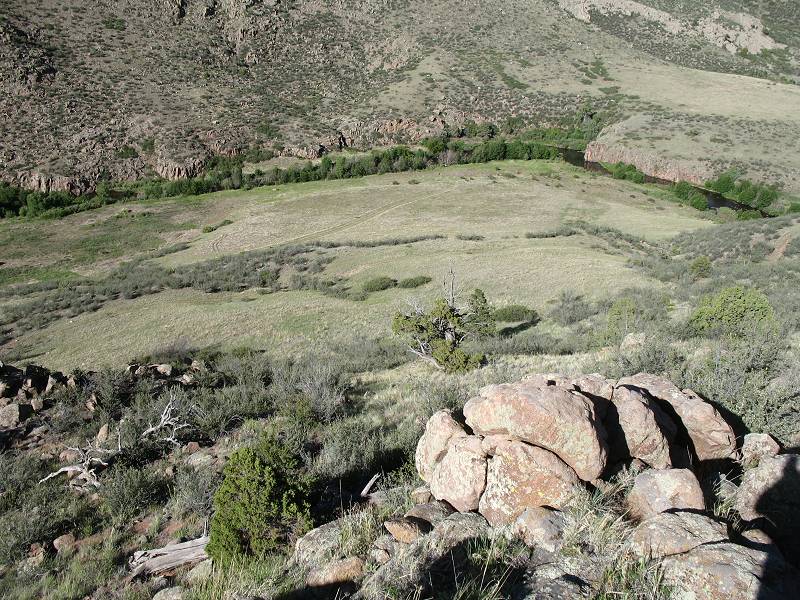
| Down from the overlook spur to the path to the reservoir area. |
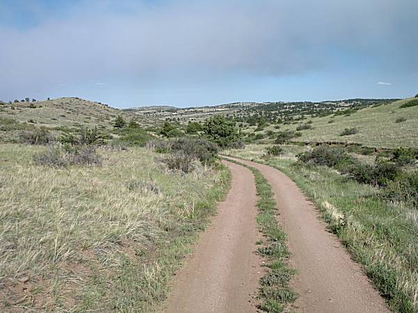
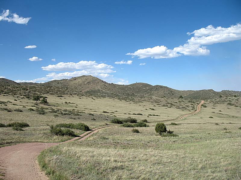
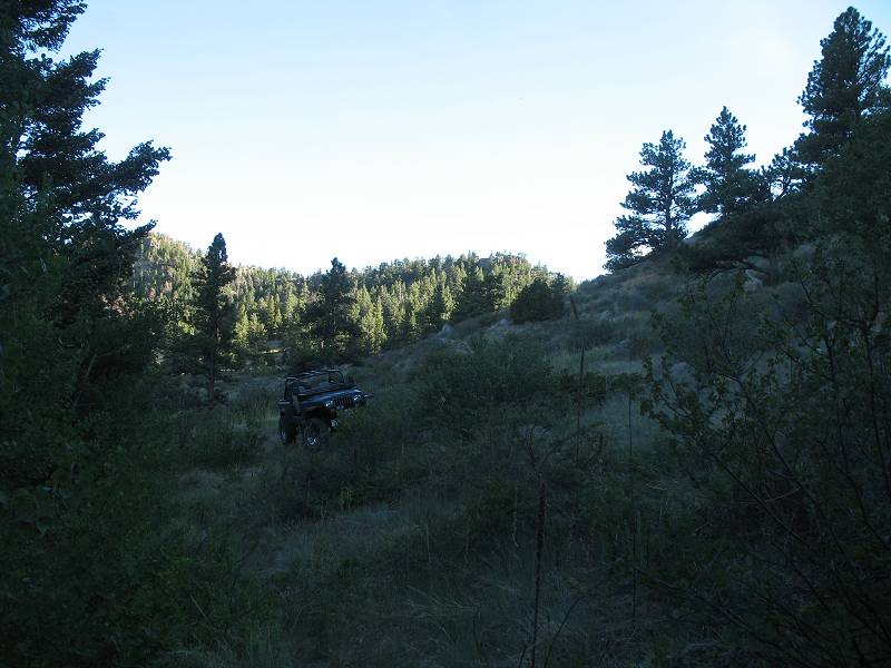
| Out from the Halligan spurs, this is the eastern most spur of the western set |
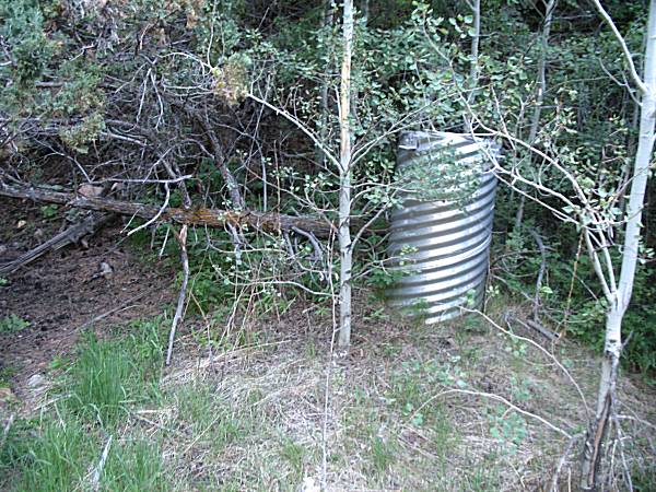
| It's a little used spur and the trail was starting to get overgrown. At the end / turnaround area here's the reason for it being here - a stream / water monitoring site. Beyond the monitor site was a thin trail that likely went down to the river. |

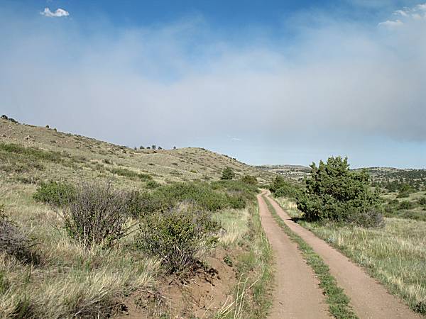
| The western most spur of the
western set, again another dead end to a single track trail heading
towards the river. I'll come back to hike the trails - perhaps spending an overnight camping weekend. |
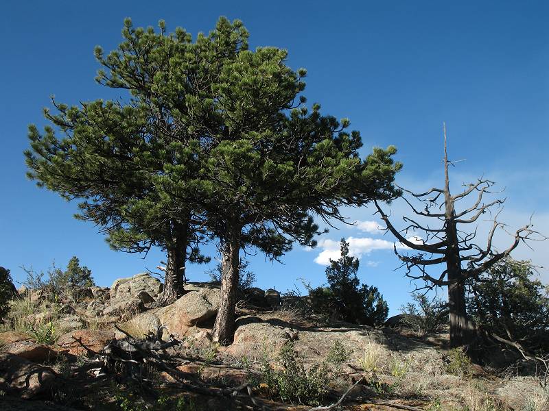
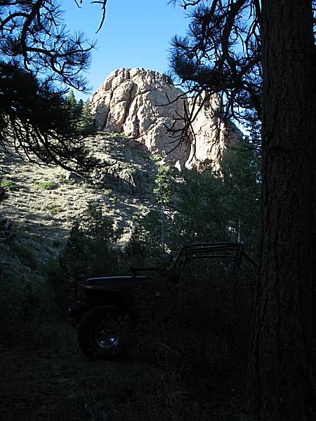
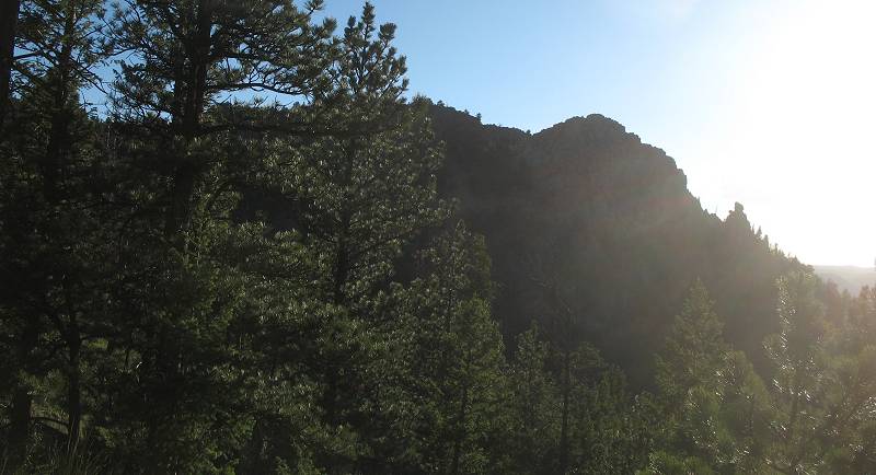
| Nice sun filtering through |
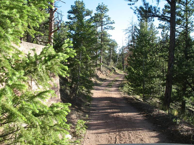
| On the way out and looking south |
| Out of the Halligan Reservoir trail area and back on county roads heading home. |