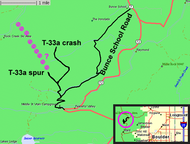
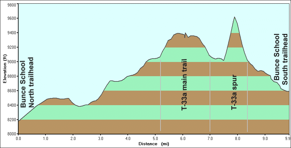
Trail - Bunce School north to south with T-33a Crash Site trail
| Join
with Chris, Pete & Eric for a trail ride on the recently "opened
for the season" trail of Bunce School. We also plan to visit the T-33a
airplane crash site and the Park Creek trail. In the end, we decided to
skip the Park Creek trail as we were out for a long day. Weather was
nice for the morning but as the afternoon processed, spotty showers
rolled through the area. The T-33a spur was a curious, ever diminishing trail. I wonder if it would connect with the Rock Creek trail a bit over a mile away? Perhaps some day a scouting hike might be in order. |
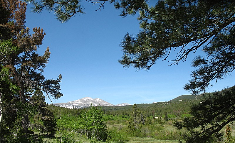
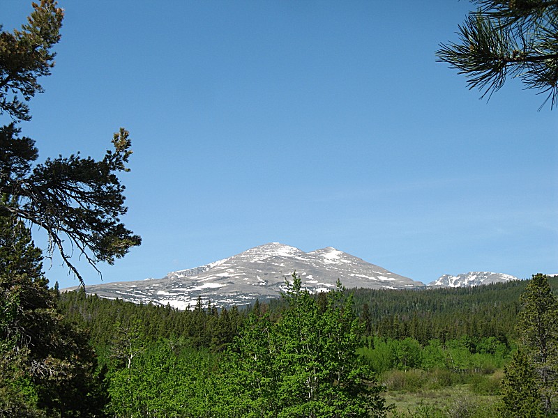
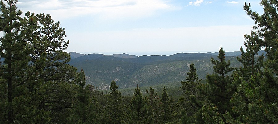
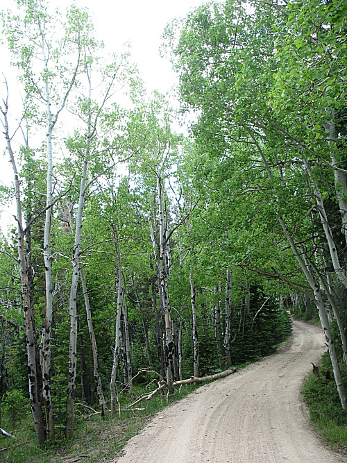
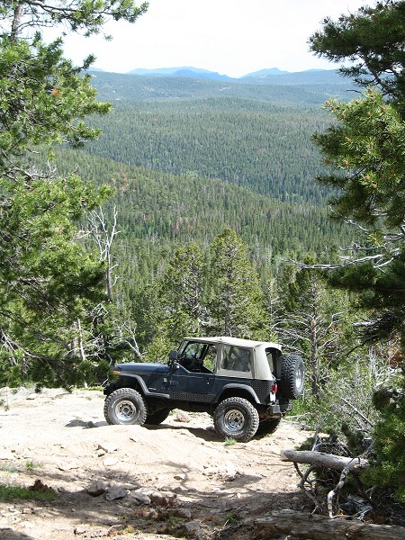
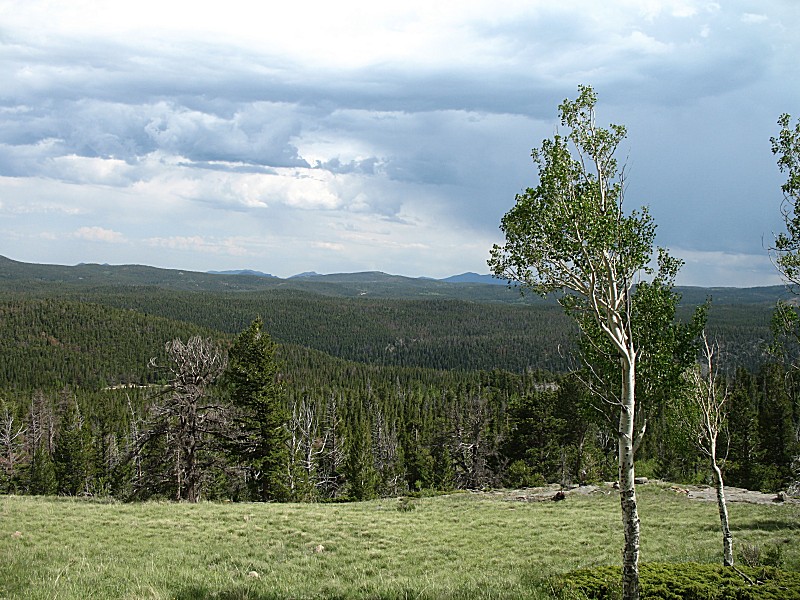
| This is the "Meadows" on Bunce School. I always enjoy this view. |
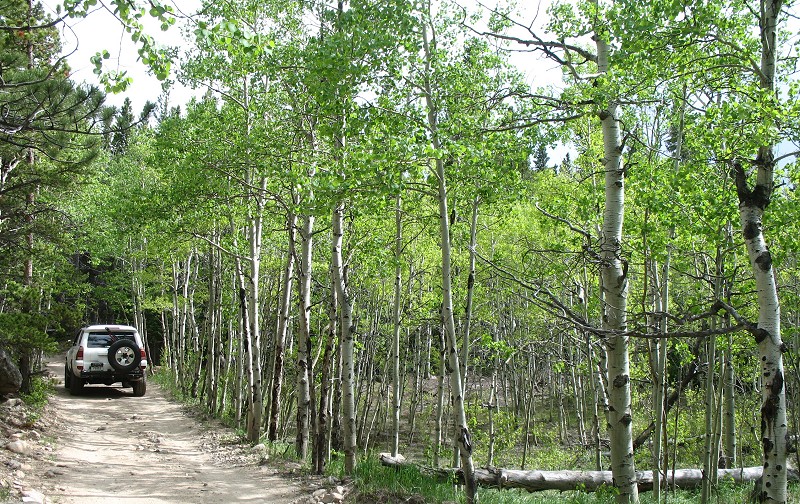
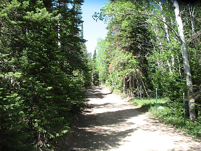
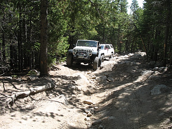
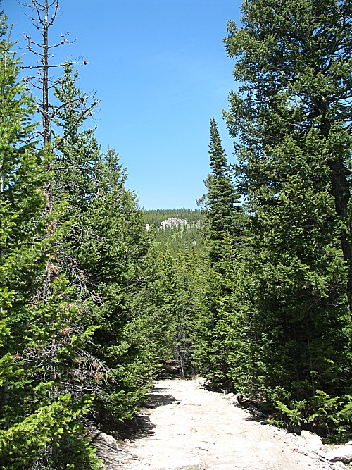
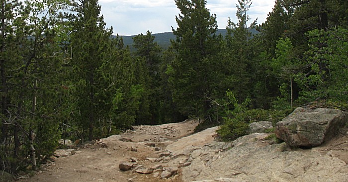
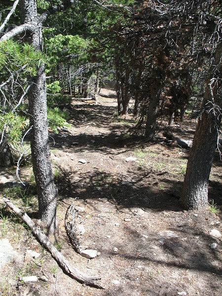
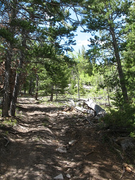
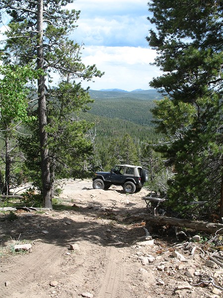
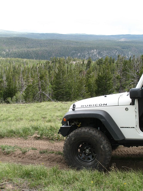
| Smooth trail - always appreciated... |
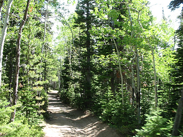
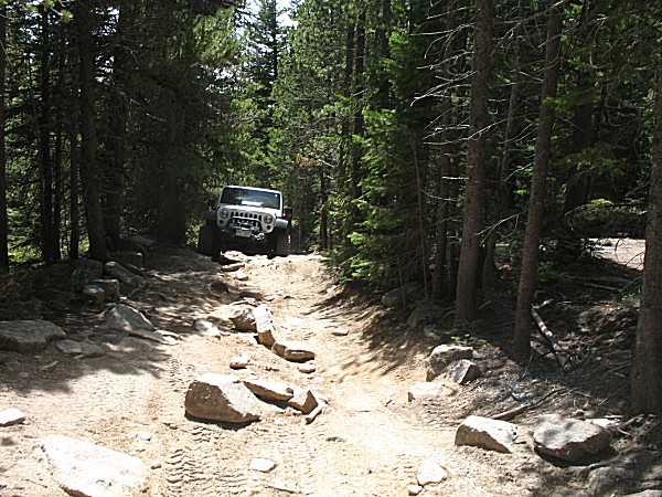
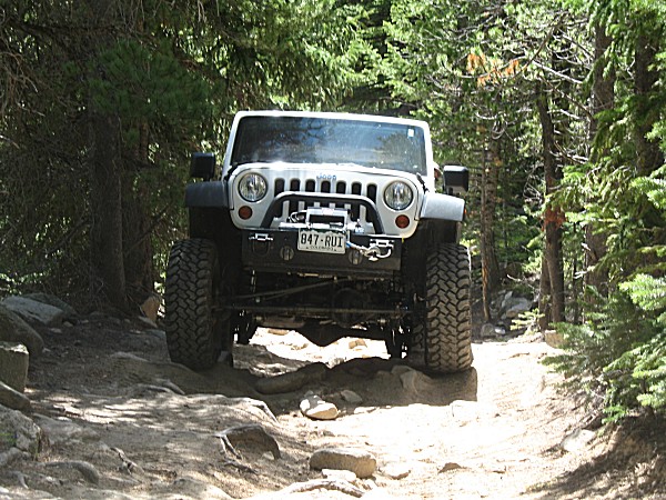
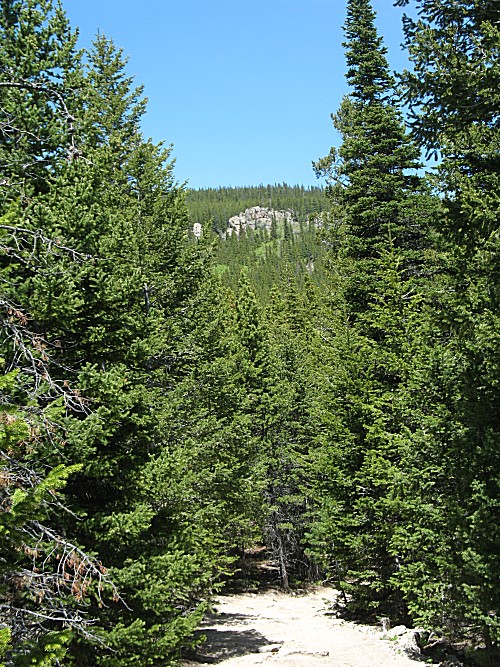
| ...as rocks abound This is the T-33a main trail |
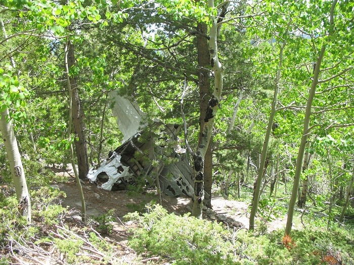
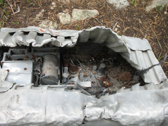
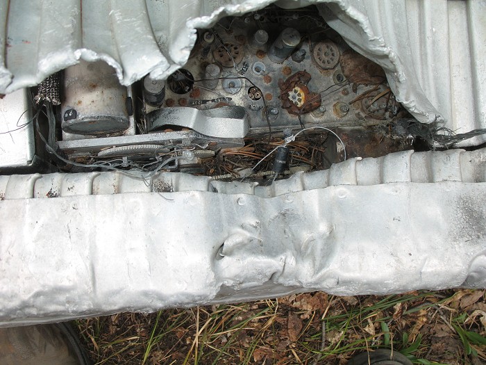
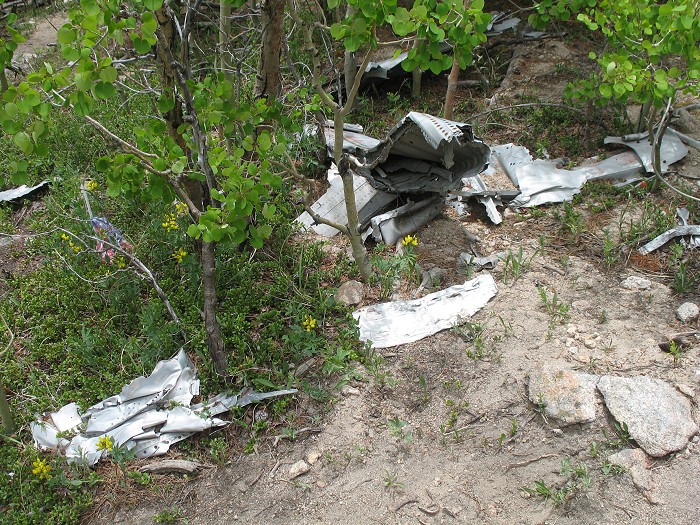
| T-33a Crash site. A bit of information on the crash may be found on TrailDamage's T-33a Plane Crash page. There were two people aboard on a cross country flight (Buckley Air Force Base in Aurora CO heading to California) though one person in the plane was possibly viewing property they owned in the area. |
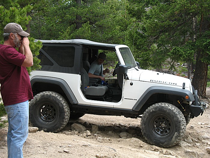
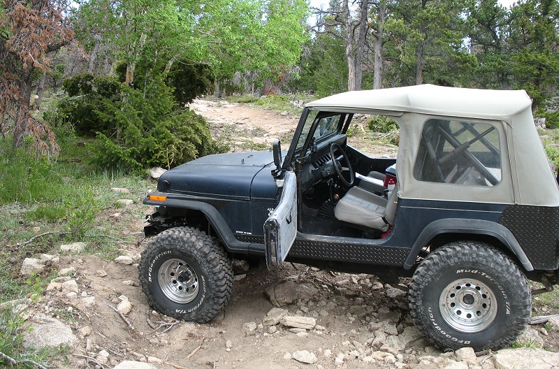
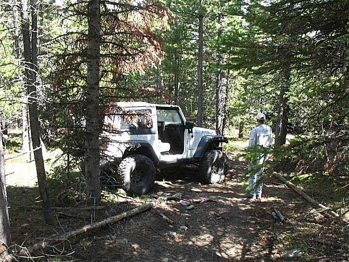
| Eric |
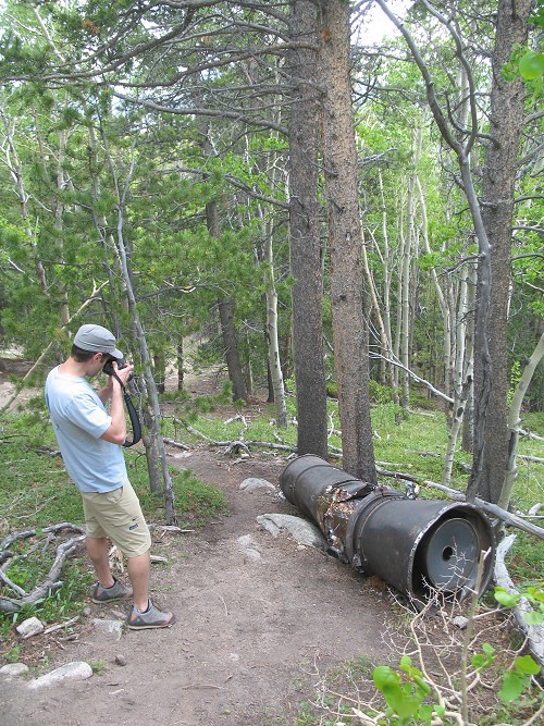
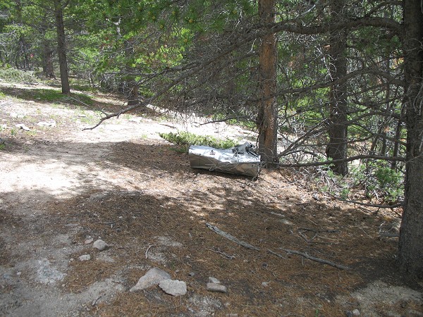
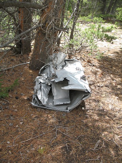
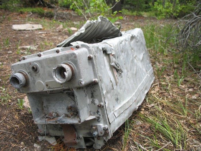
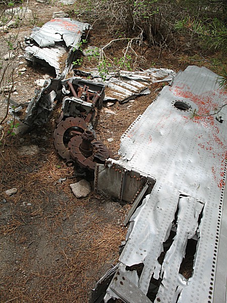
| Walking down the hill is an ?instrument? device. Somewhat heavy. It seems the heavier items rolled down the hillside. |
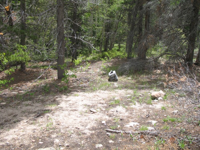
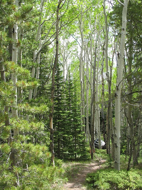
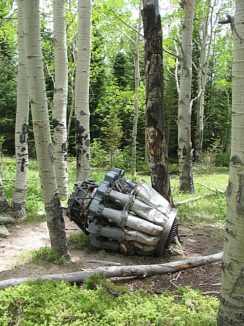
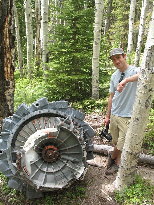
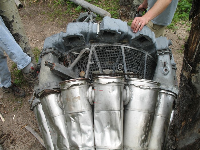
| Farther down the hill is the engine. When the crash happened, these aspen trees were likely not here, or were rather small. |
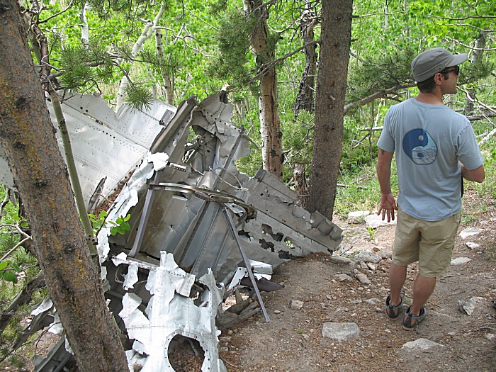
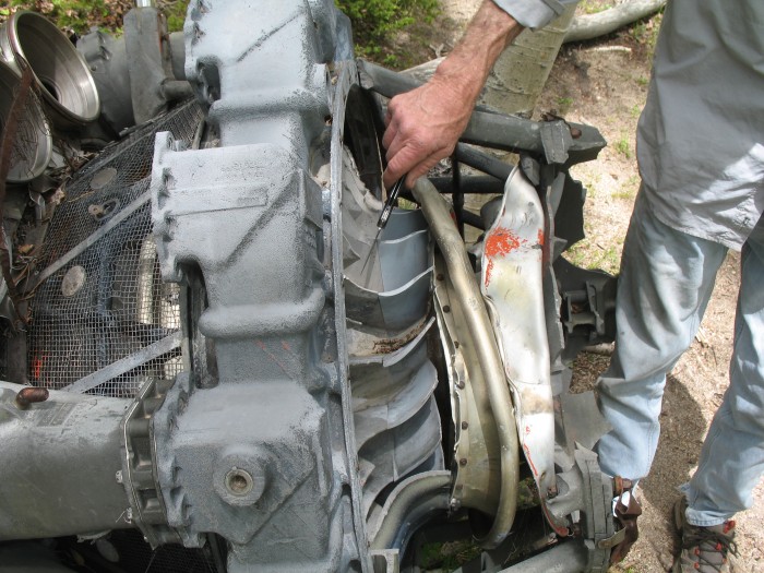
| Pete tapping on the various metal parts - different tones produced |
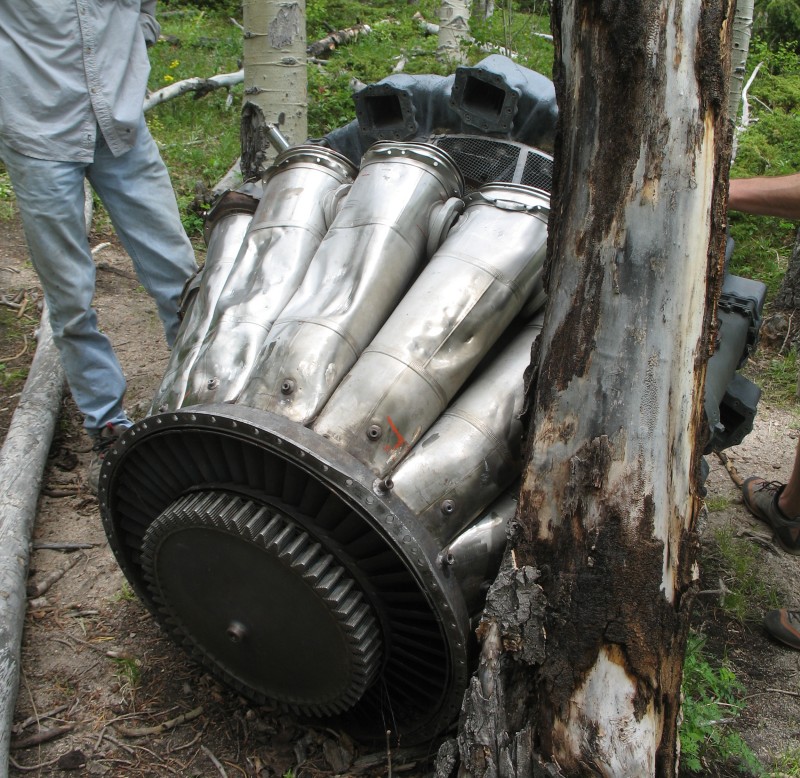
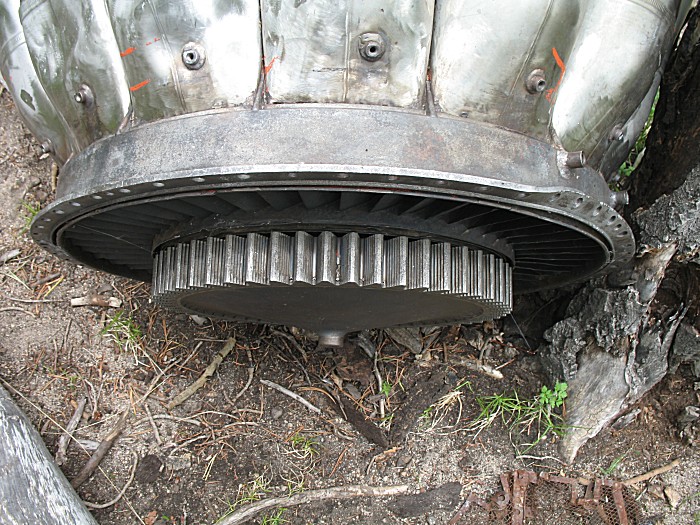
| Stats on the Allison J-33 engine list it as weighing about 1795 pounds (though it's minus a few parts as it sits). |
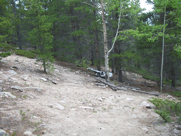
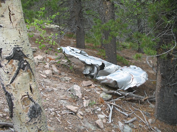
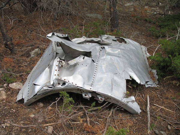
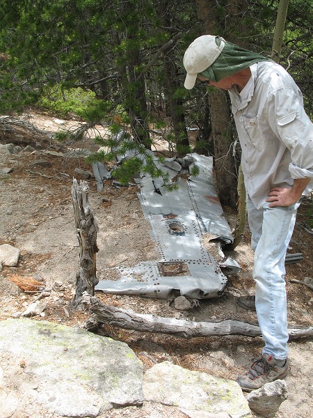
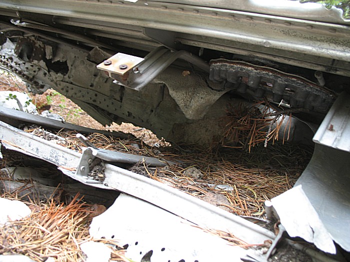
| Back up the hill to the main wreckage area. |
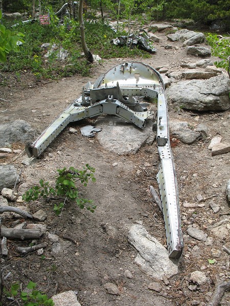
| Pete and a wing |
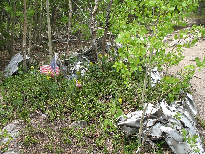
| Memorial flags |
| The rusted rings are landing gear. The rings look to be brake rotors. Through the center of the closer one are wheel bearings with what looks to be a brake calipur to the right of the axle spindle. |
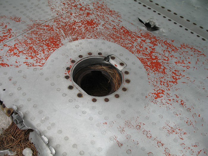
| Fuel fill? |
| A "view out" |
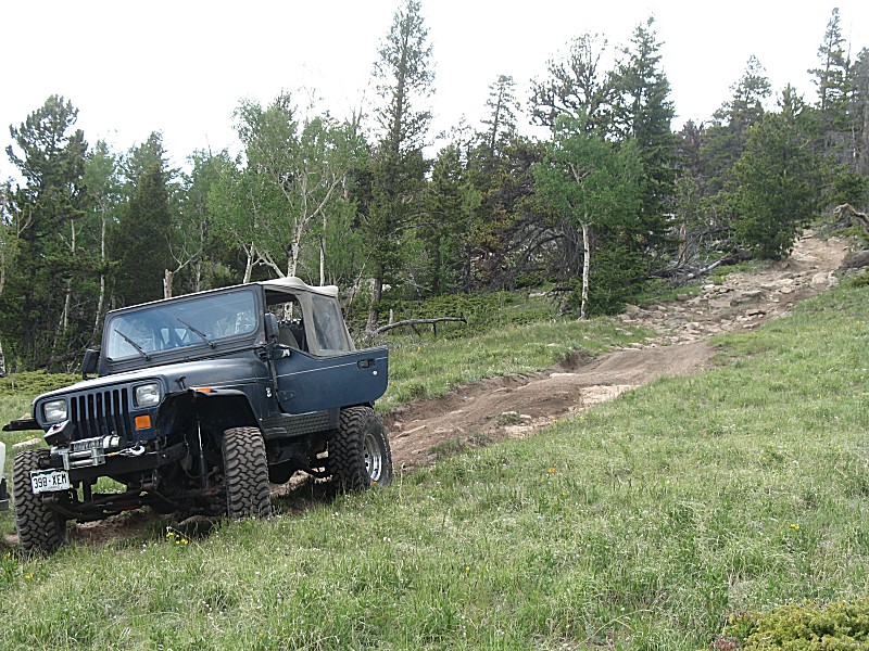
| Heading back |
| Chris & Eric |
| Ahhh... |
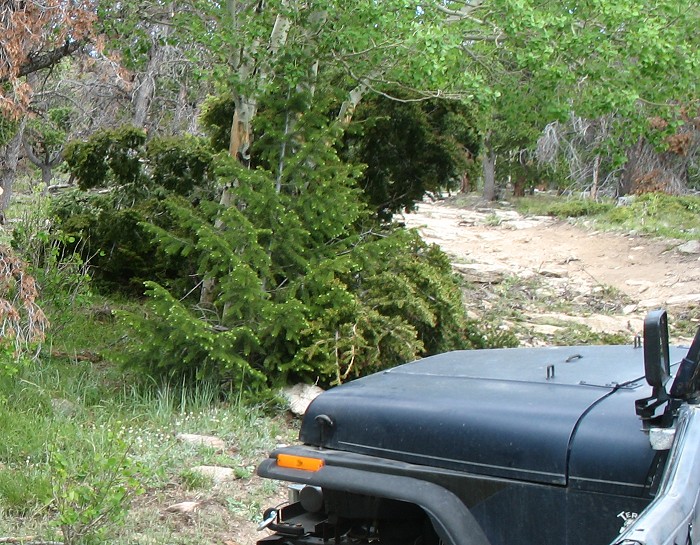
| On
the T-33a dead end spur there was a tree laying on the trail. Perhaps a
10-12" trunk at mid-tree (where we might wish to cut it). I put the
jeep sideways in the trail to have a straight winch pull. We tied off
to a solid tree (using a "tree saver" strap to protect the tree), as an
anchor (to keep the jeep on the trail) and pulled the large tree to the
side of the trail. We then cut some of the limbs that were extending
onto the trail off of the trunk. The winch is a 9,000 LB pull rated unit, though the winch line still had two layers wrapped on the drum, lowering the overall pulling force. With me in the jeep standing on the brakes it was pulling me to the anchor point and not moving the tree too much. Chris then fastened onto me as an anchor. This worked well, except his front bumper (anchor point) was tweaked in the pull. No photo of the pre-move or of the winch setup. |
| Mass of still green tree to the left of the now opened trail. |
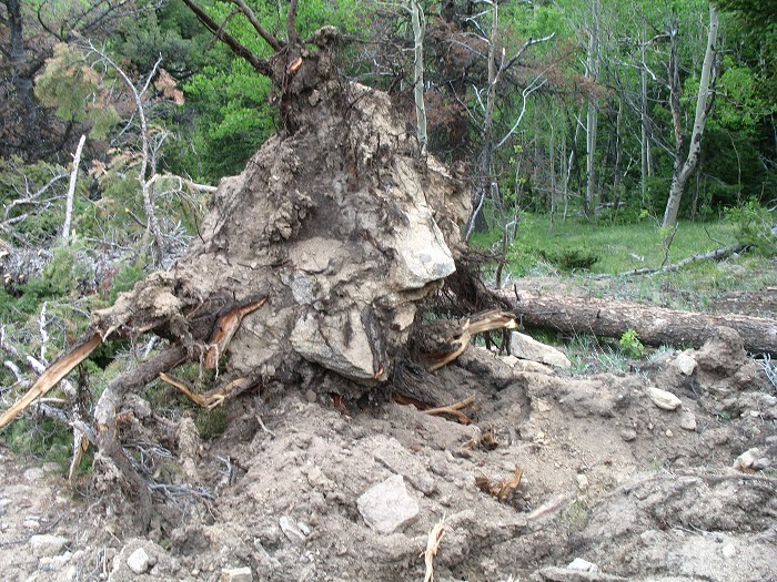
| Root / tree base circled. |
| Roots |
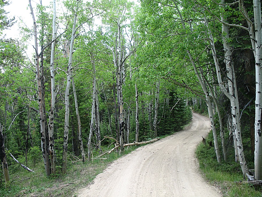
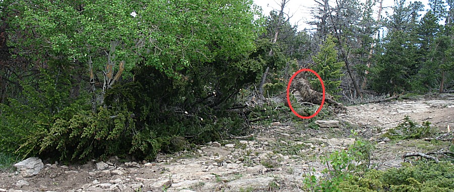
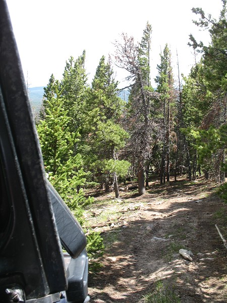
| After
we passed by the removed tree, we went through a wonderful meadow with
large views to the southeast and south. From there we kept heading up
and along the trail - except that it started to get narrow and
overgrown. This was not a commonly used trail. The GPS track I was
following, nicely provided by the TrailDamage.com web site, stopped...
but the trail kept going so I kept going, occasionally calling on the
CB to the others in the group with a "keep going or turn around"
thought. We kept going. While the trail was narrowing (making U-turn
spots important to note as backing up in the tight trail would not be
fun) it was rather enjoyable. It was a "road less traveled" section! The photo below is the end where we turned around. The red dots depict where the trail went. At the top side of the rock were some narrow trees. They were wide enough for an ATV but not for our vehicles. Time to head back... |
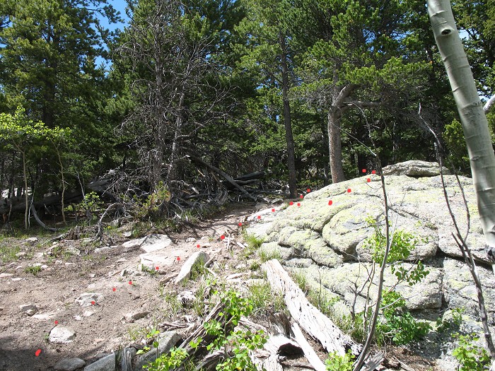
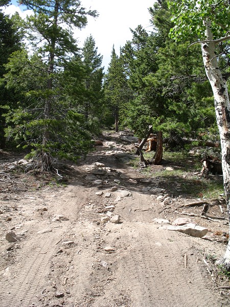
| A look at the little used trail. |
| ATV width trees. |
| Back from our turn-around spot - looking back up the hill to the "red dotted" rock from a photo or two above. |
| Eric making a 40-point U-turn. |
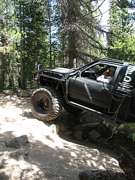
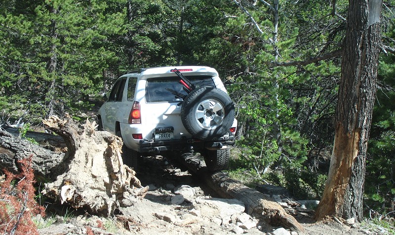
| Chris navigating the Toyota by a tree root waiting to scratch the paint. While the group made it by this spot on the way up, we had to move the fallen tree (another winch pull) farther off the trail to get by for the way down. The tree on the right is not a limiting factor, there's space, the issue is a fallen tree under the passenger side wheels. We needed to stay "left" and ride on that trunk to not get hung up. |
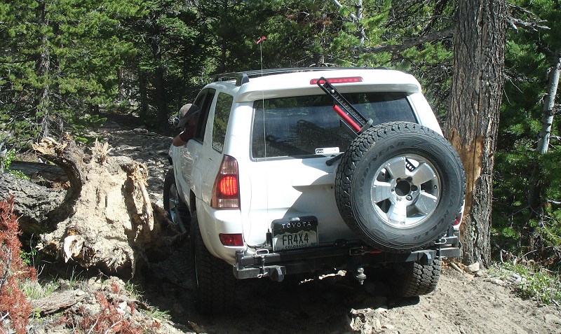
| 1" beetween the root and the tire. |
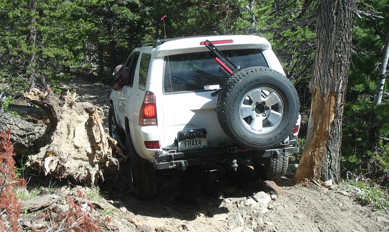
| Passenger side wheels rollng on the tree trunk. (mine fell off to the right, making me back up to re-align atop the trunk) |
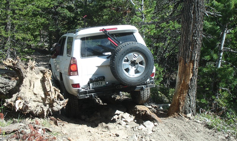
| Done (good shot of the tree trunk under passenger tires) |
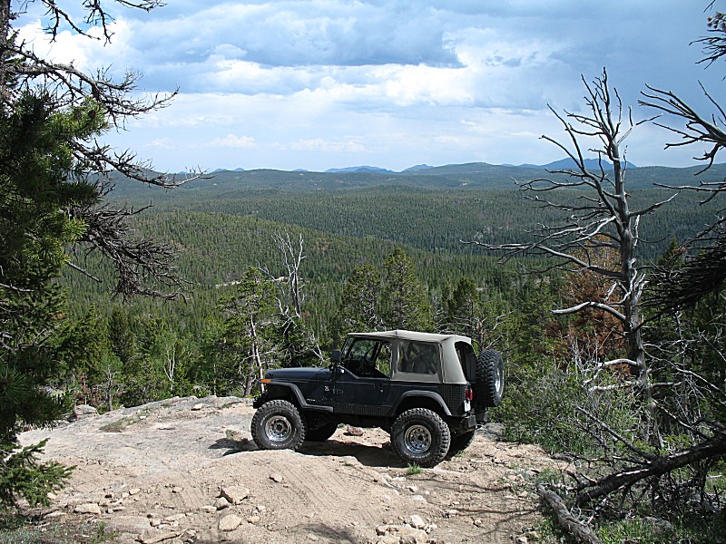
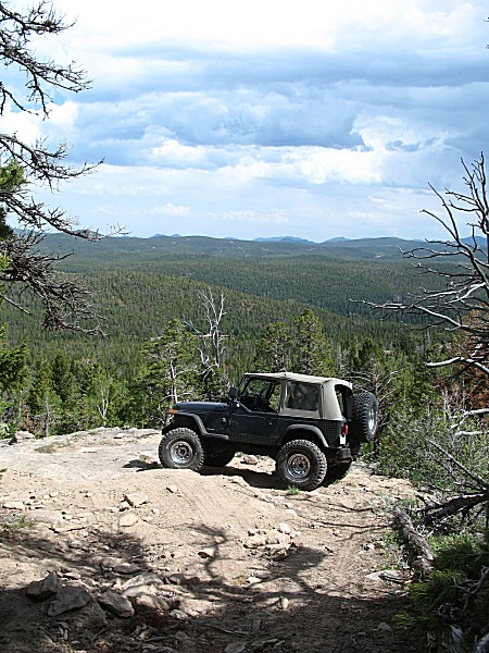
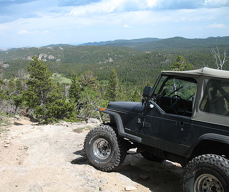
| The trail came out from the hills and made a left turn on this rock knob. A nice vista beyond. I set the jeep in a nice location and took a few shots. |
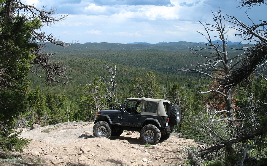
| Turning around to look at the trail. |
| A few hundred feet down trail is the nice meadow |
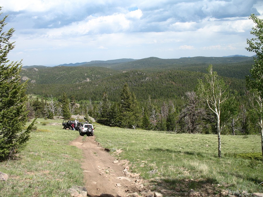
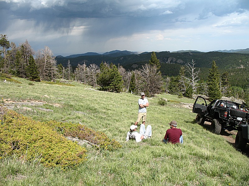
| Spotty rain (and thunder) showers |
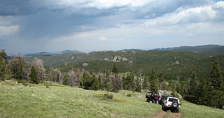
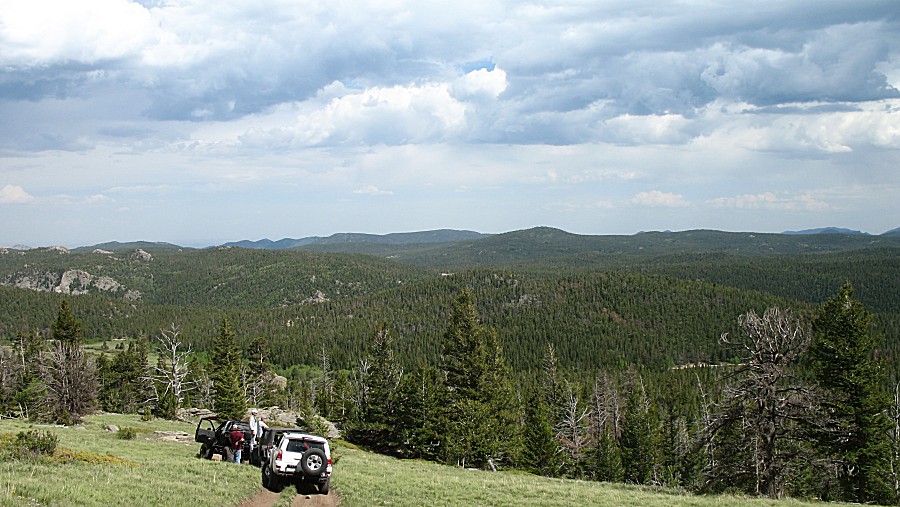
| Kick back for a bit and enjoy the company and scenery |
| Eric's |
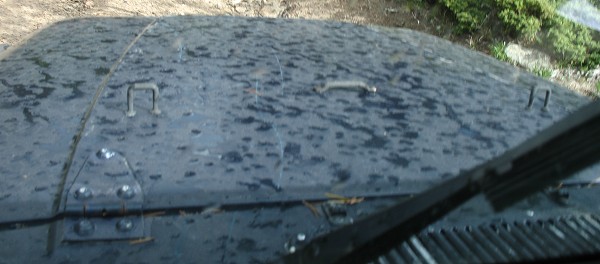
| This was about it for rain while we were on the trail. Curious tree limb scrapes on the top center of the hood. |
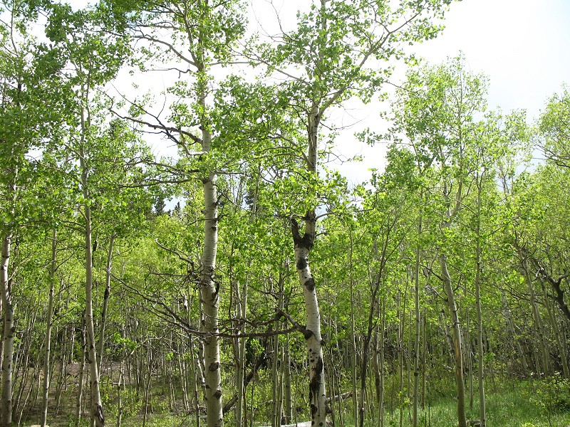
| Ahhh... Nice aspen trees with sunlight filtering through. |