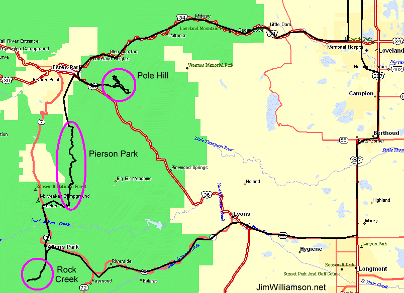
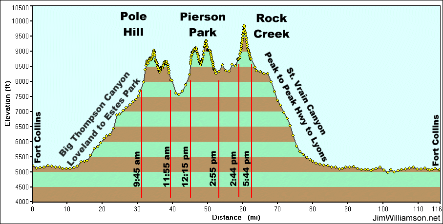
Trail - Pole Hill, Pierson Park, Rock Creek
|
Meet up with Tom & Rob from the Front Range group to visit the
Pole Hill trail that is now open for the season. The day is listed to
be overcast with rain. This does not lead to a typical "nice day" to
enjoy, but the variety in the weather (tied with the elevations we
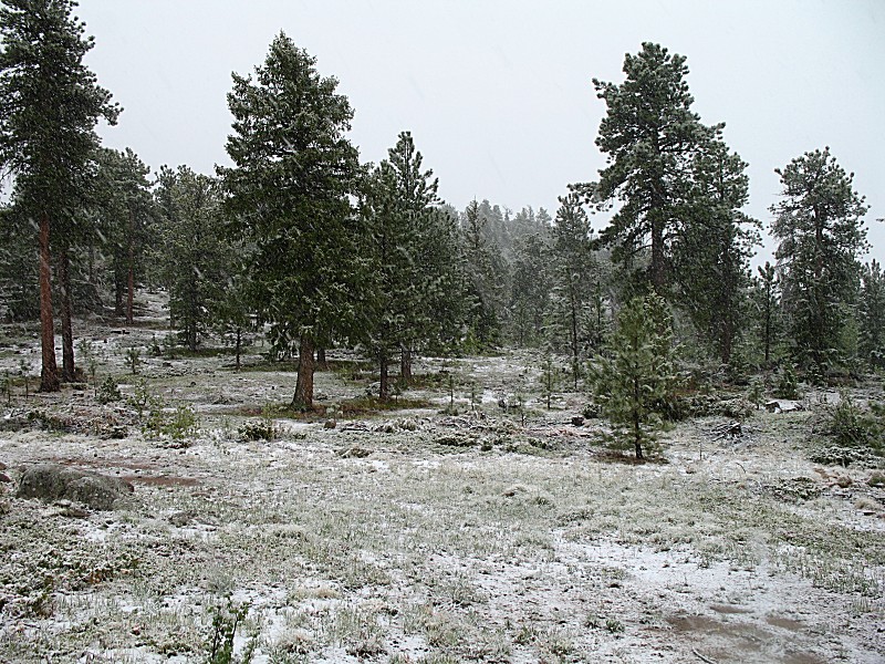
visited) did provide a spice to the scenery. We planned to visit only the Pole Hill trail, but Rob, who is more familiar with the area, suggested we visit Pierson Park and perhaps Rock Creek. The Rock Creek trail is open all year and I have visited it twice over the winter - with good snow causing vehicles to not make it to the end of the trail. This would be my third visit. I have yet to see the end of the trail - there was still enough snow up there to stop us, though not after we cleared a decently sized fallen tree from the trail. For Rock Creek, since we did not make it to the end. We did make it in 2.4 miles though we had 1.1 left to go. |
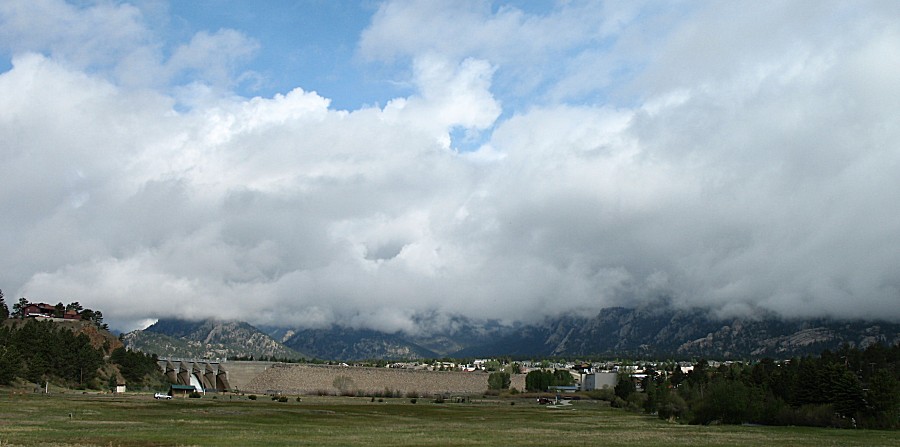
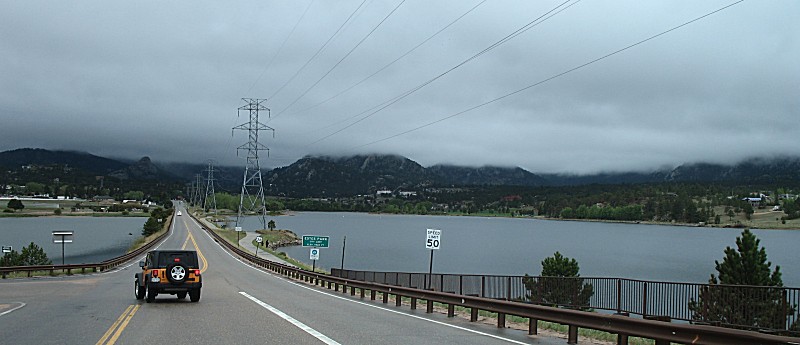
| Perhaps the only spot of sun for the day in the mountains. Looking northwest towards the dam at Lake Estes (from Mall Road between US-34 and US-36) |
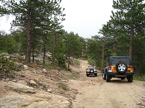
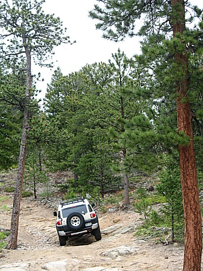
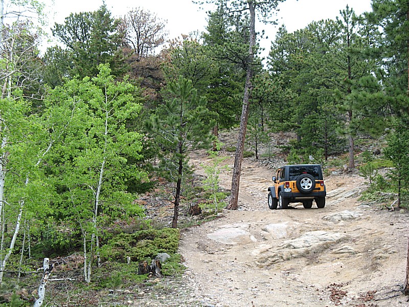
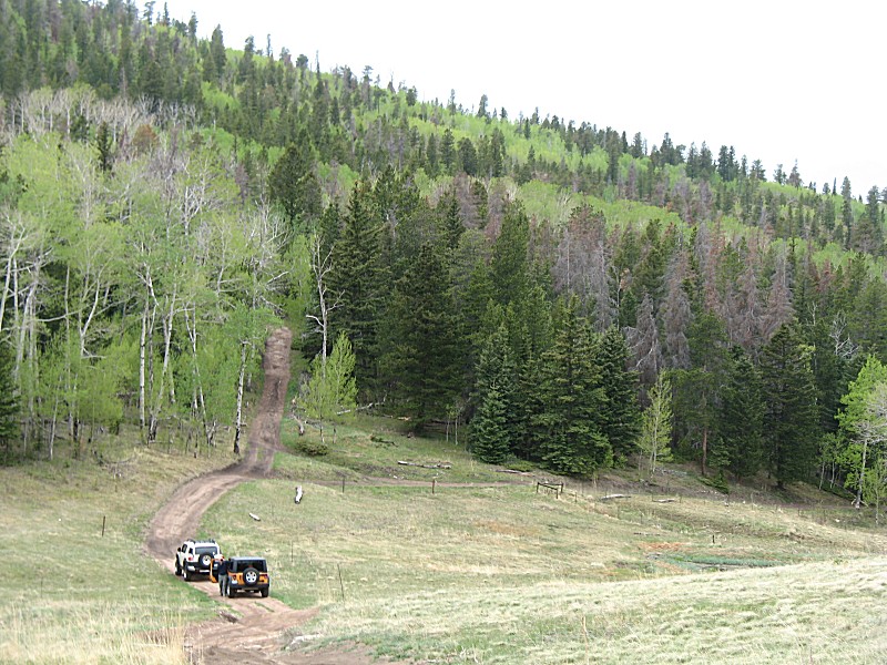
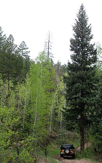
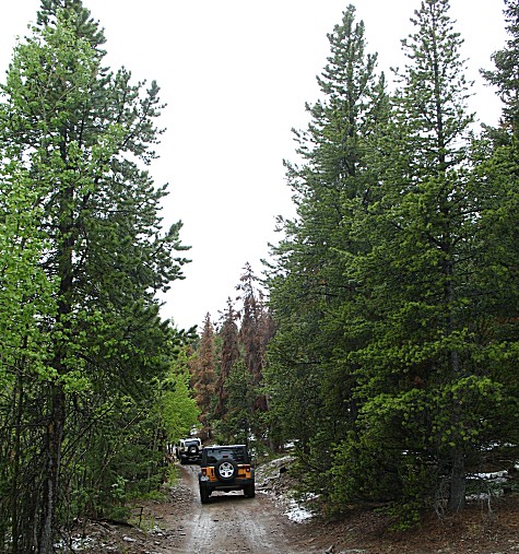
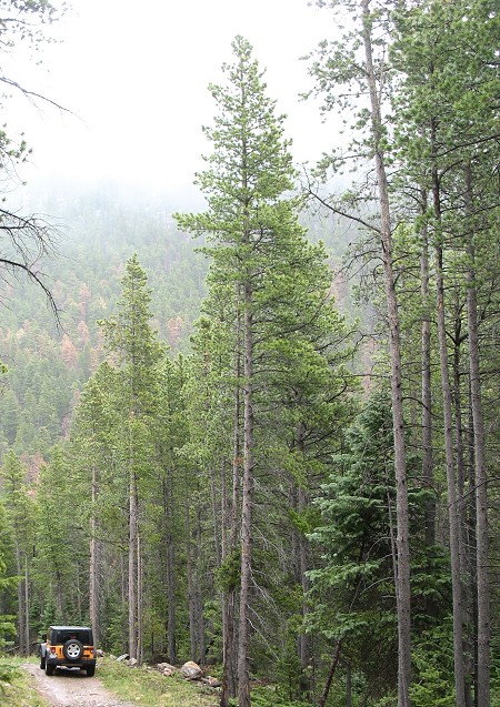
| The start of Pole Hill trail. |
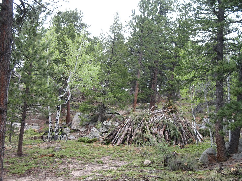
| There were a fair number of burn piles stacked about. The mountain bike was a curiousity - I didn't see anyone. |
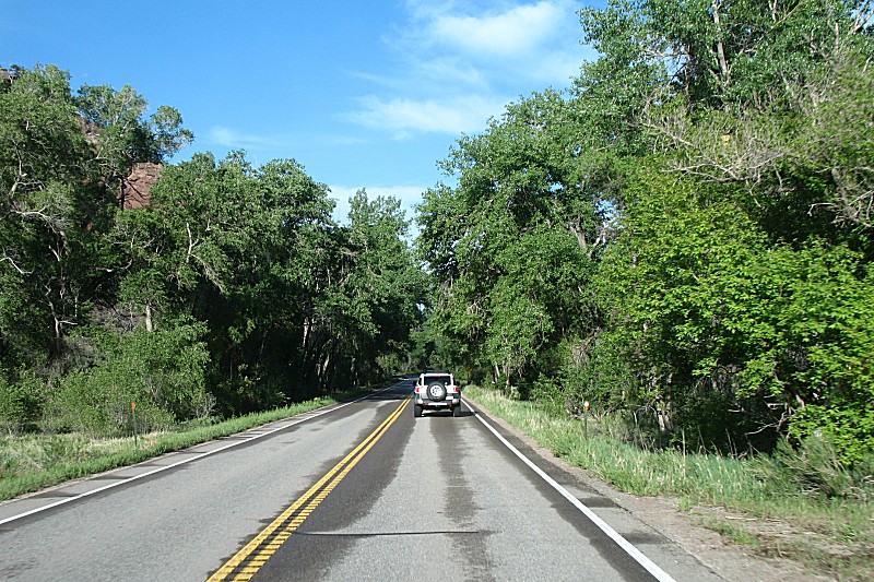
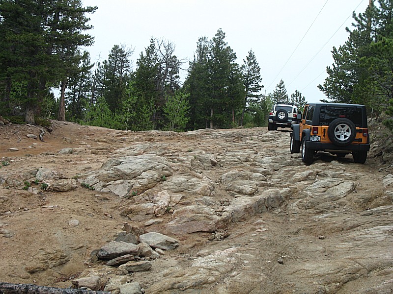
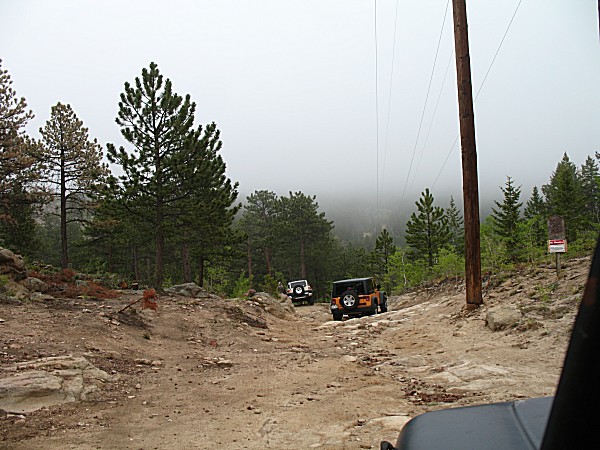
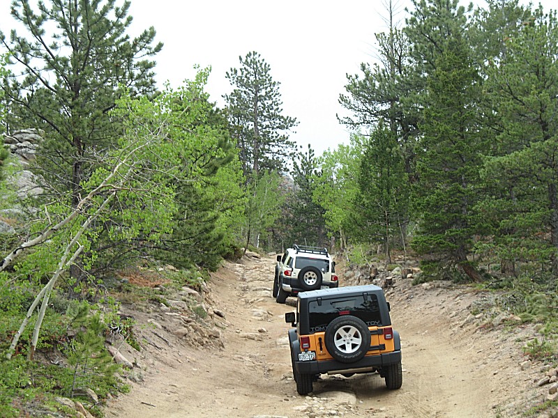
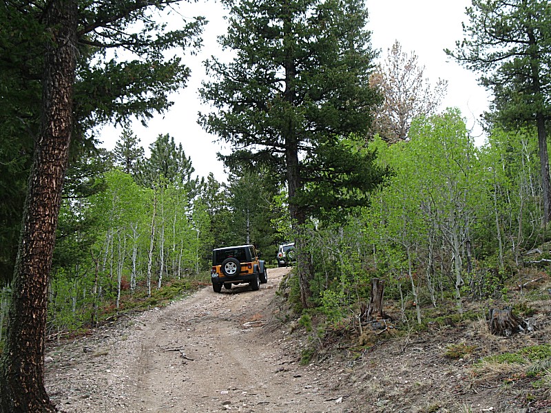
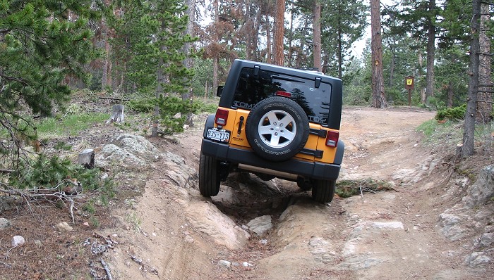
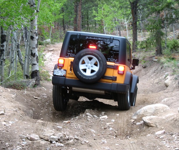
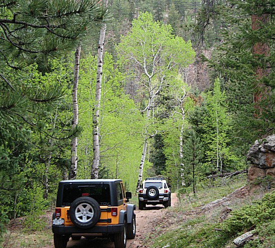
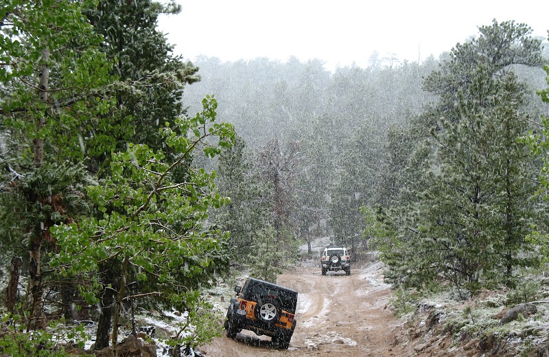
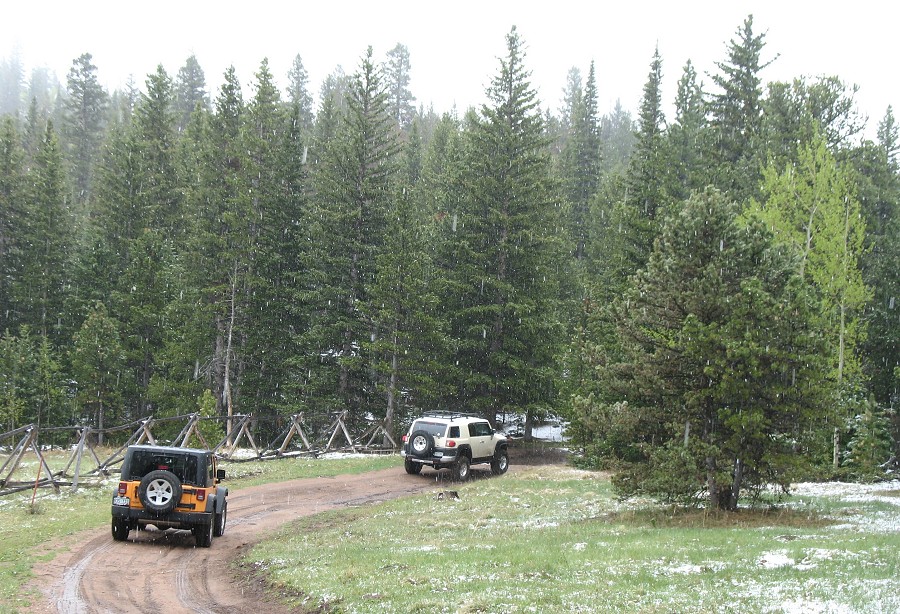
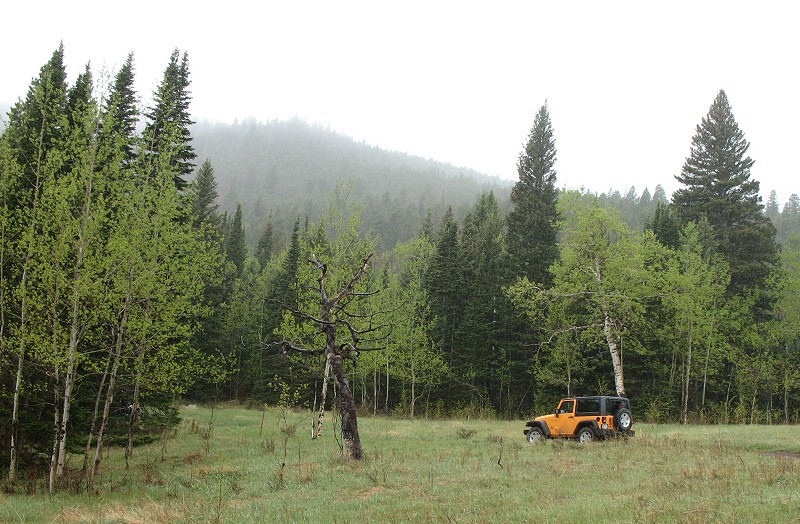
| Rob in the tan Toyota and Tom in the yellow Jeep |
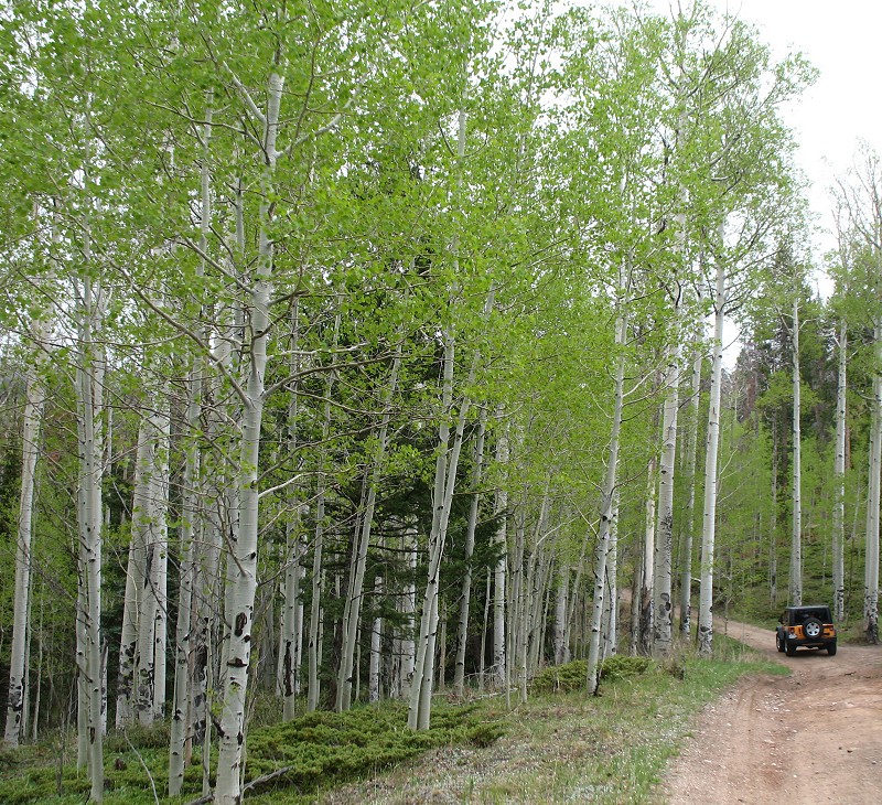
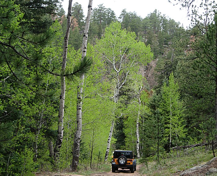
| The Aspen trees were sporting bright green leaf colors |
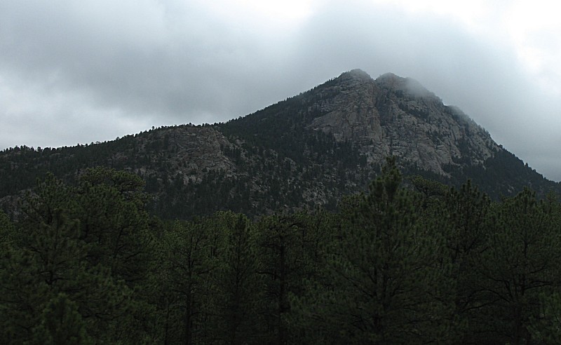
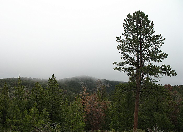
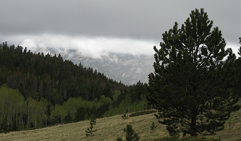
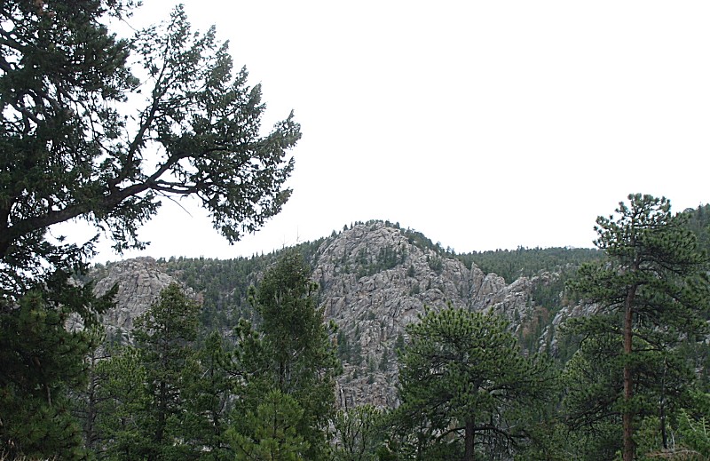
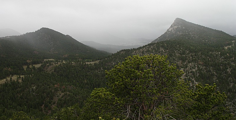
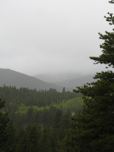
| Clouds were low - often skirting the ridges. |
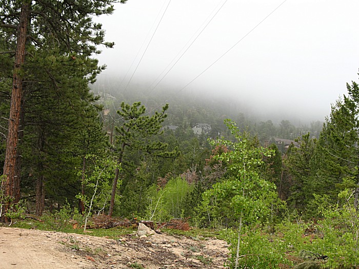
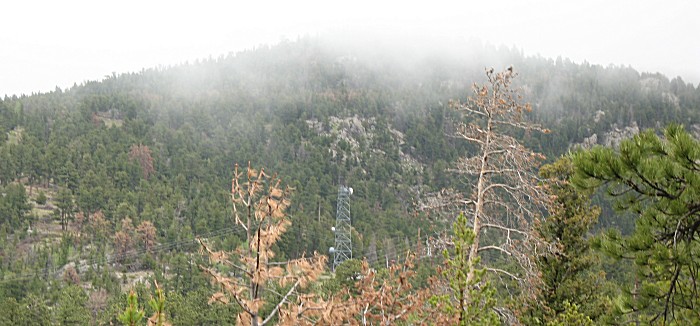
| A communications tower on Pole Hill Road. This road is in the "middle" valley, as I call it, between US-34 on the north and US-36 on the south. It runs from Estes Park towards Loveland. There is a water diversion tunnel in this valley that brings water from the western slope of the Rocky Mountains to the eastern side cities. It's part of the C-BT project (Colorado [river] - Big Thompson [river] Project). Along with the Pole Hill access road (which unfortunately is gated) are power lines. Power is generated at various points as the water decends the mountain. |
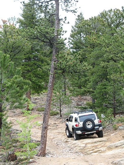
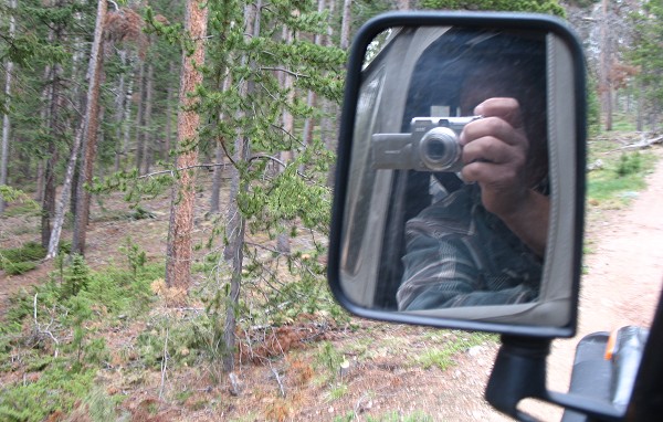
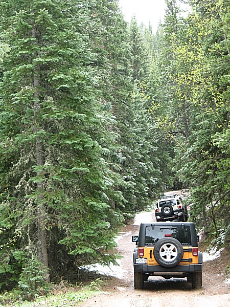
| Images captured via quick point-n-shoot camera out the side window as I roll through the scenery. |
| Over some of the undulations a front or rear tire of the Jeep would have a fair bit of air between it and the ground. |
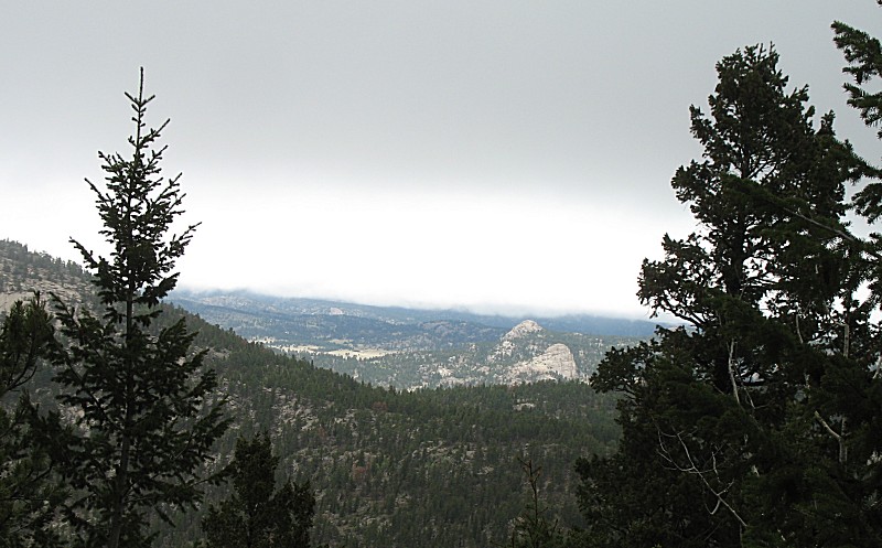
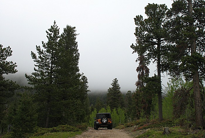
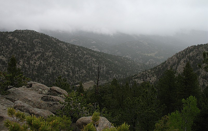
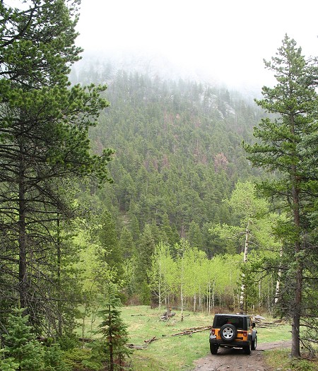
| Out to an open valley. |
| The trail extending up into the trees catches my eye. This trip was not to be the time to travel it. Just before the trees, which wasn't evident to me when I took the photo, the trail turns to the right which is the way we went. |
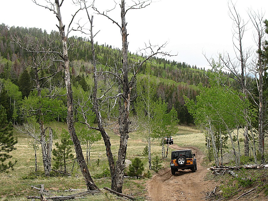
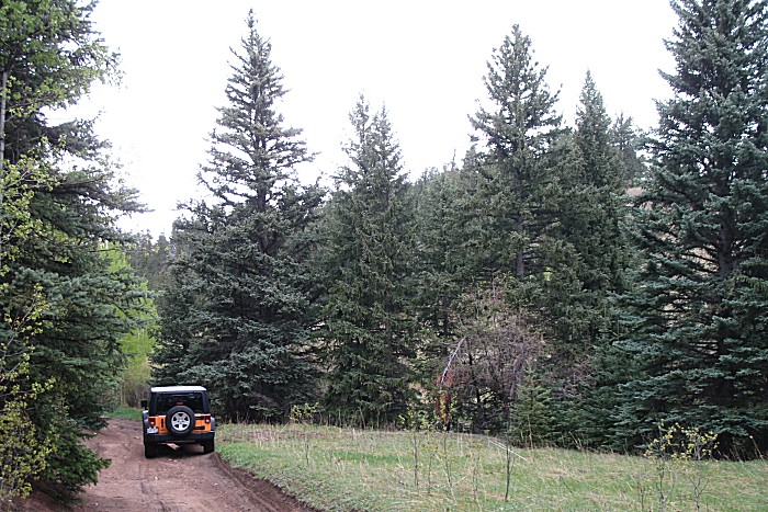
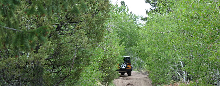
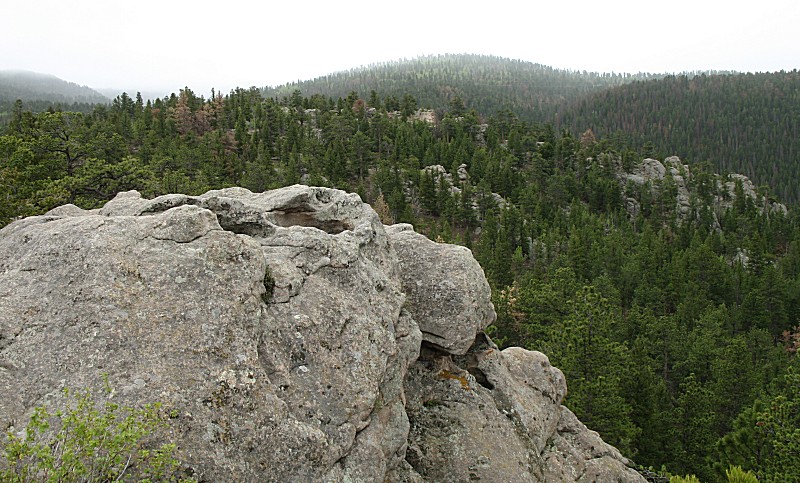
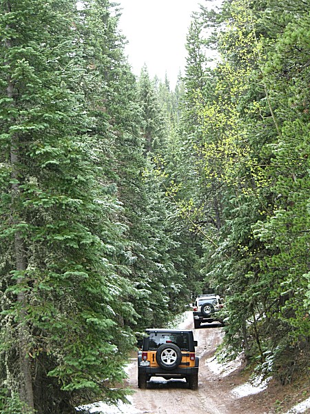
| Smooth soil trails, nice to travel on. |
| Below is a road that catches my eye. It comes in from US-34, and it would be nice to find access to this area from US-34, but from searching the maps, it seems it might not be. That road looks to be a multi-mile driveway with only one or two houses on it. |
| Looking towards the town of Estes Park |
| Turning around and looking east |
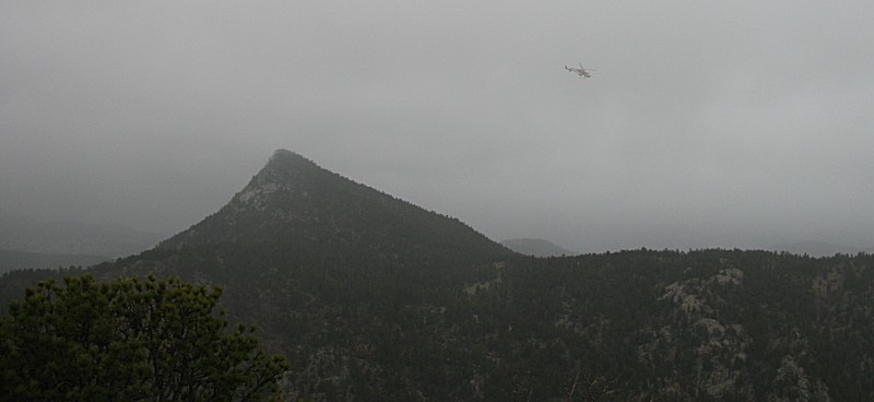
| Back towards Estes Park we heard a helicopter flying. With the low clouds we were quite curious as to why it would be out. |
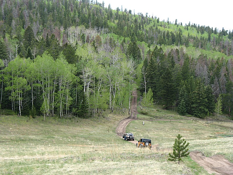
| Pole Hill Road and another group of vehicles |
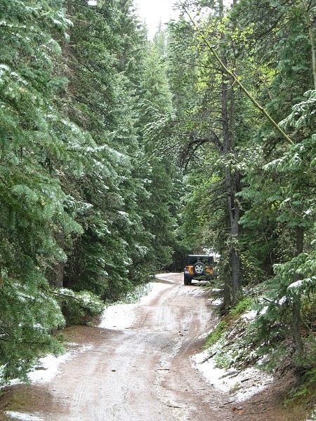
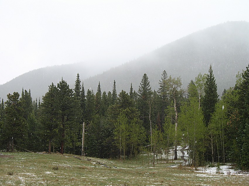
| A first photo of the snow. We were to see a fair bit of it falling today. It was fun seeing the ground turning white. |
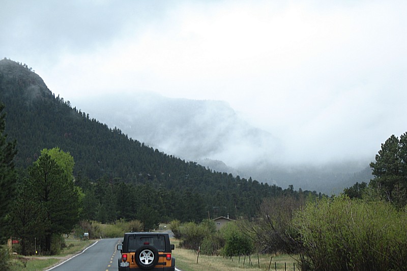
| Moving from Pole Hill to Pierson Park near the entrance to the town of Estes Park on US-36 |
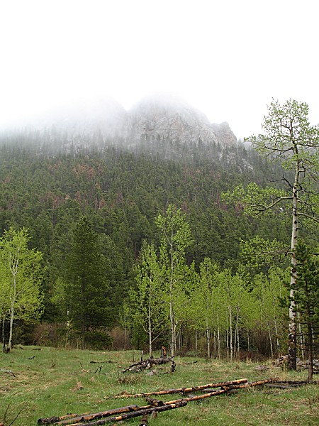
| Whispy clouds on the hillsides |
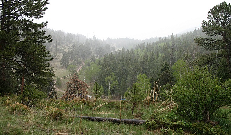
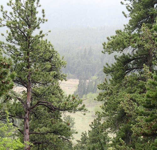
| Somewhere near the start of the Pierson Park trail. Looking across the valley to the new snow on the far hillside. |
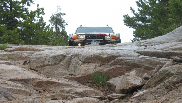
| Rob's Toyota before moving down the rockface. |
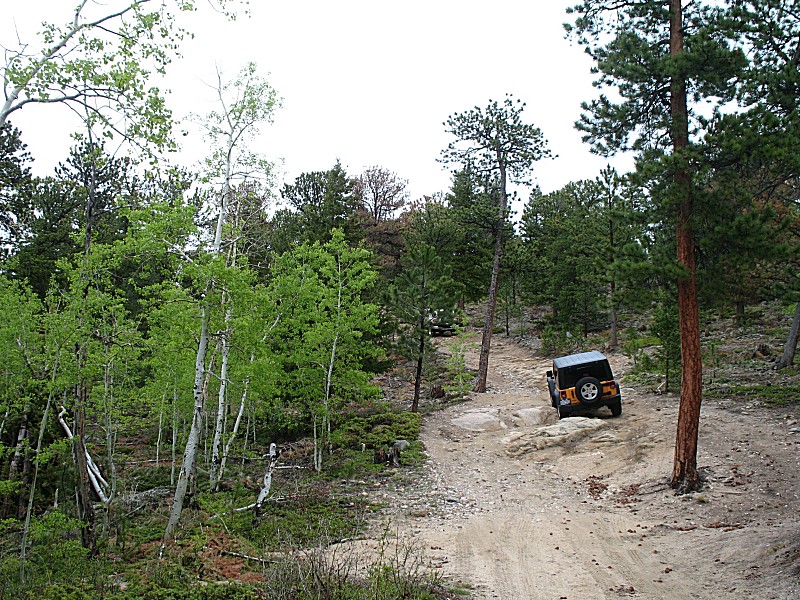
| Tom's Jeep |
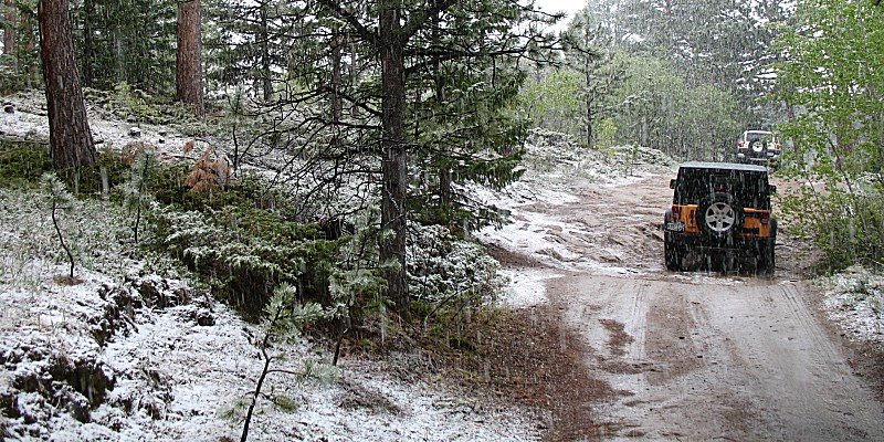
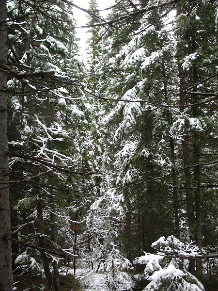
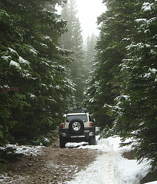
| Rock Creek It's starting to stick to the pine trees! |
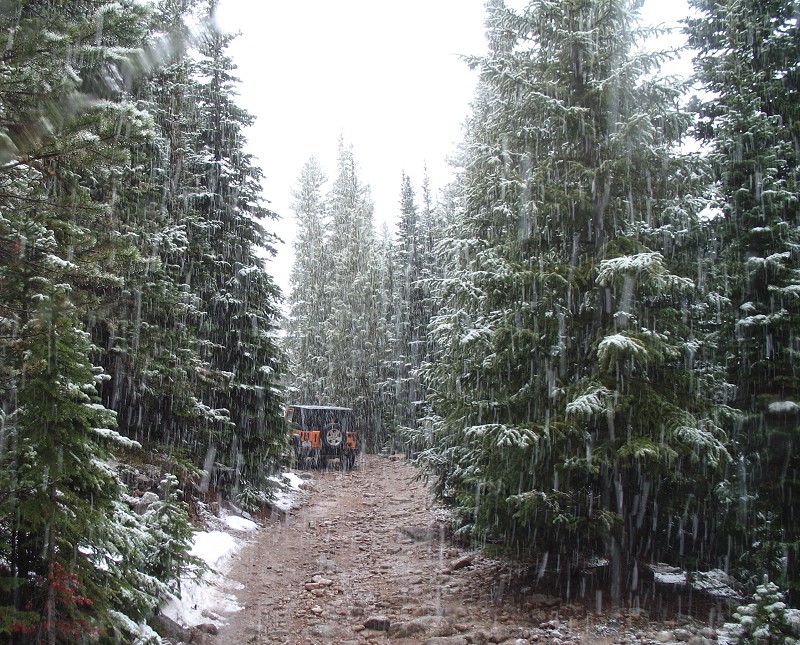
| and a bit on the ground (remaining winter snow on the left edge of the trail) |
| The large tree fallen, diagonally across the trail, atop a snowbank. Rob using his powers to tell the tree to where it will be moving. |
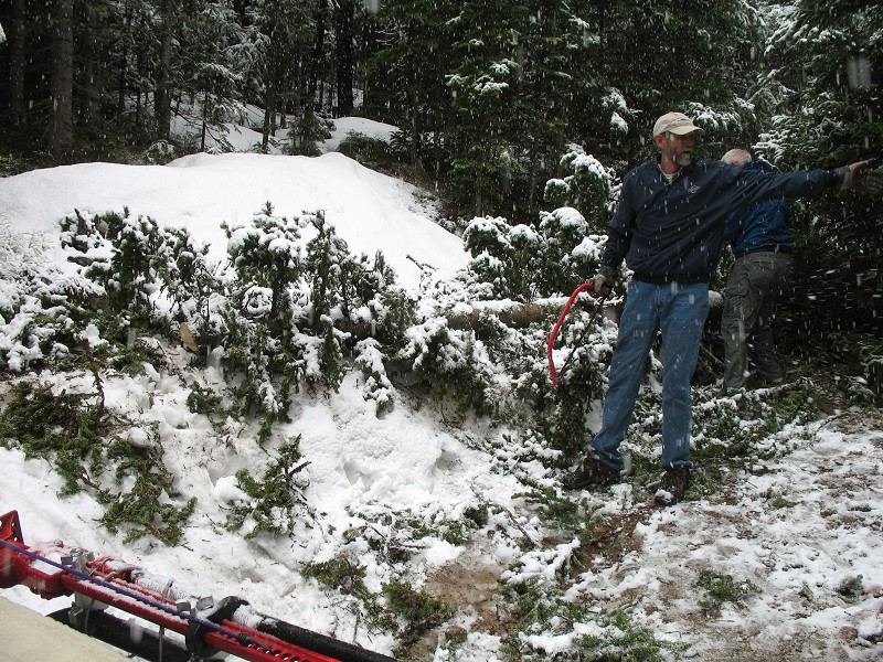
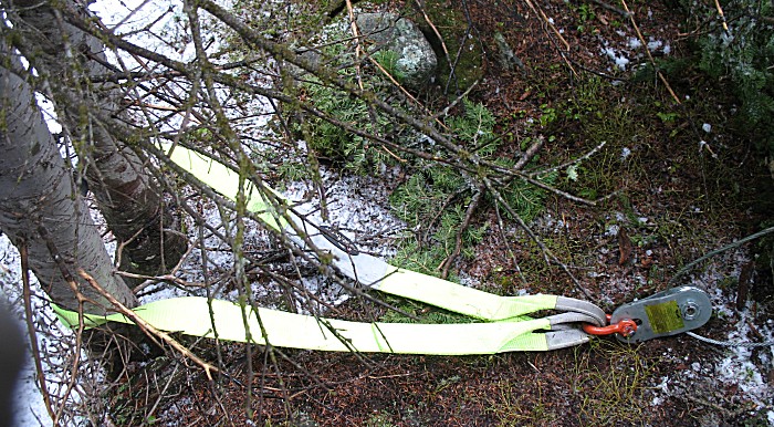
| Winch cable used to pull a larger tree section to the side. |
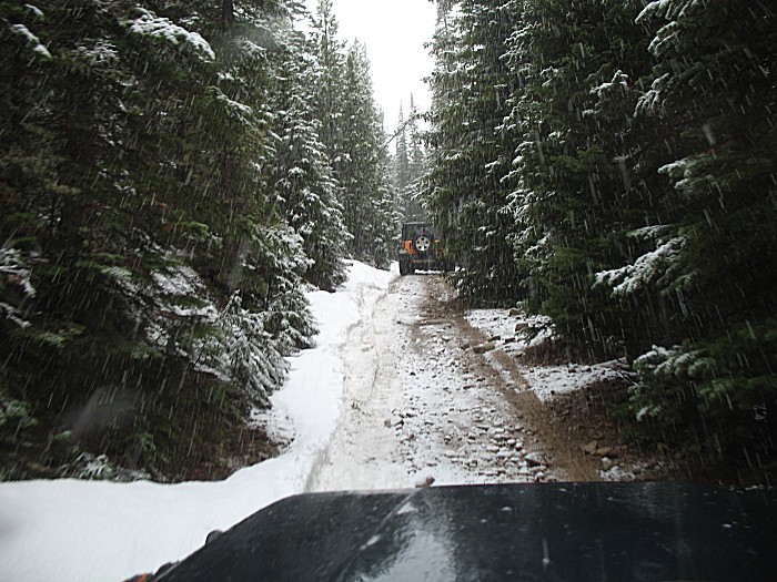
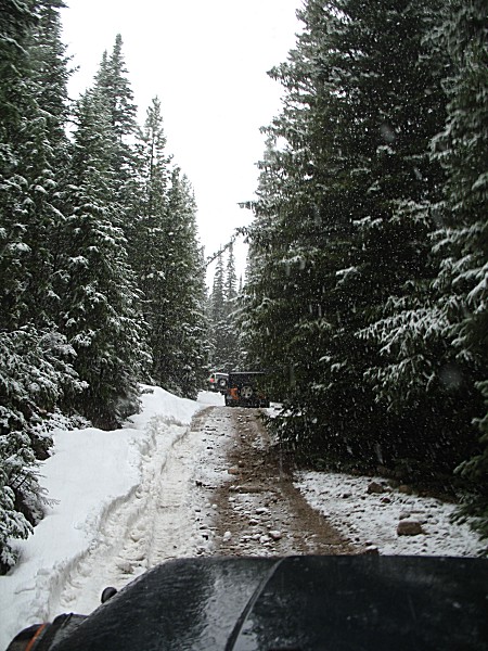
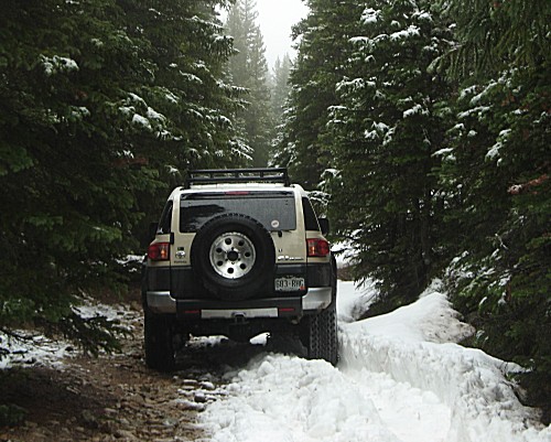
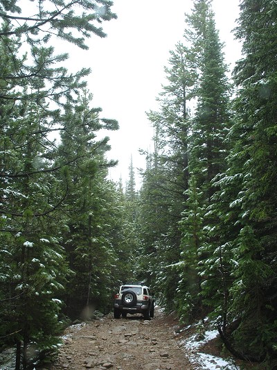
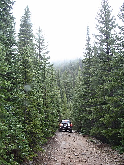
| From the above photo, we were still heading up the trail. The photos below, we have hit the end (due to it being snowed in from snow from last winter) and have turned around to head out. |
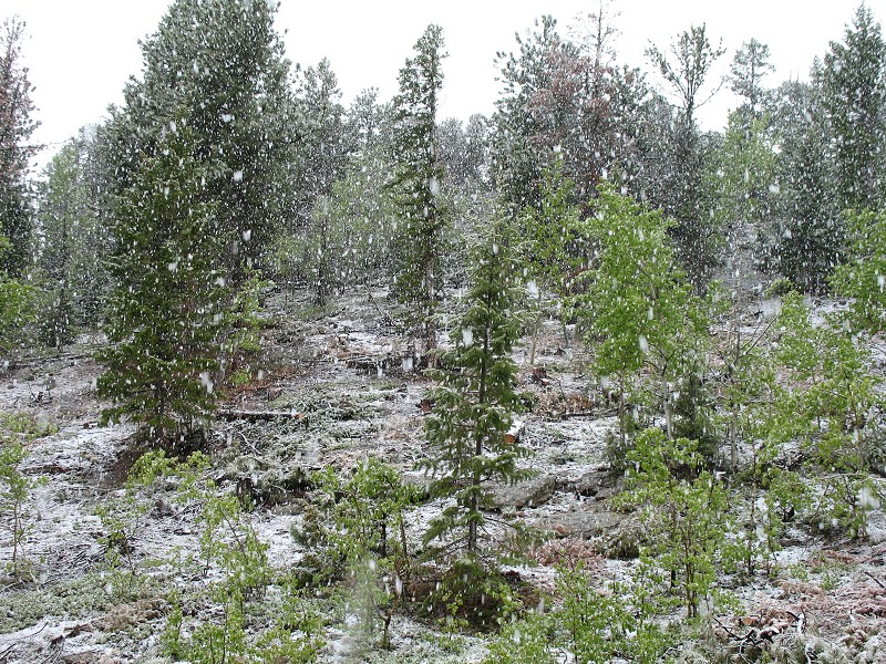
| Still snow on the trees... |
| the a bit less as we descend... |
| Almost no snow visible... |
| And back down to 5000' near the town of Lyons CO. Blue sky abounds! |