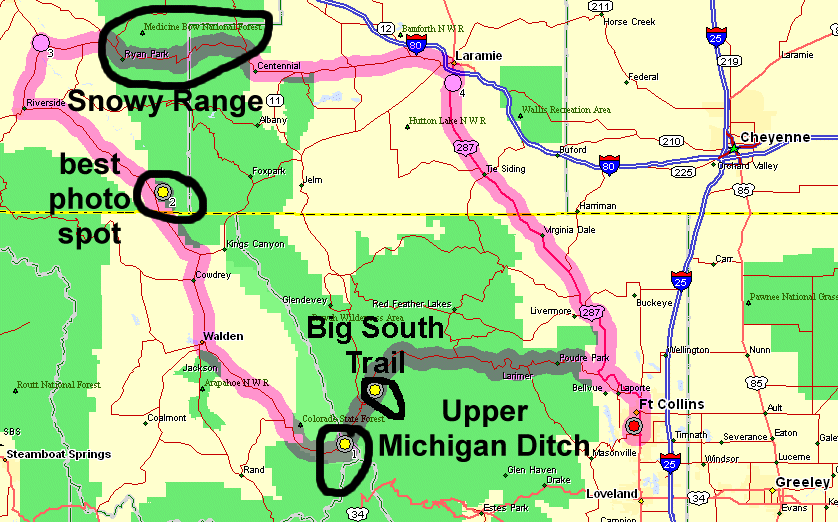
Big South Trail, Upper Michigan Ditch (rain), Snowy Range
|
Highway 14 heads west from town and travels up the scenic Cache La
Poudre canyon. It transitions and drops down toward Walden at
Cameron Pass (10,276 ft / 3132 m). Just east of the pass's peak is a
man-made water diversion canal (ditch). Alongside the ditch is a
single-lane service road open to the public (bikes, hikes - no
cars). Scanning maps, it seems the ditch works the far side of the
valley from what I've seen from Highway 14. Always wanting to travel
"other there" I made a point to put the bike into the car to visit the
trail. While the ditch was a destination, I also stopped at a couple
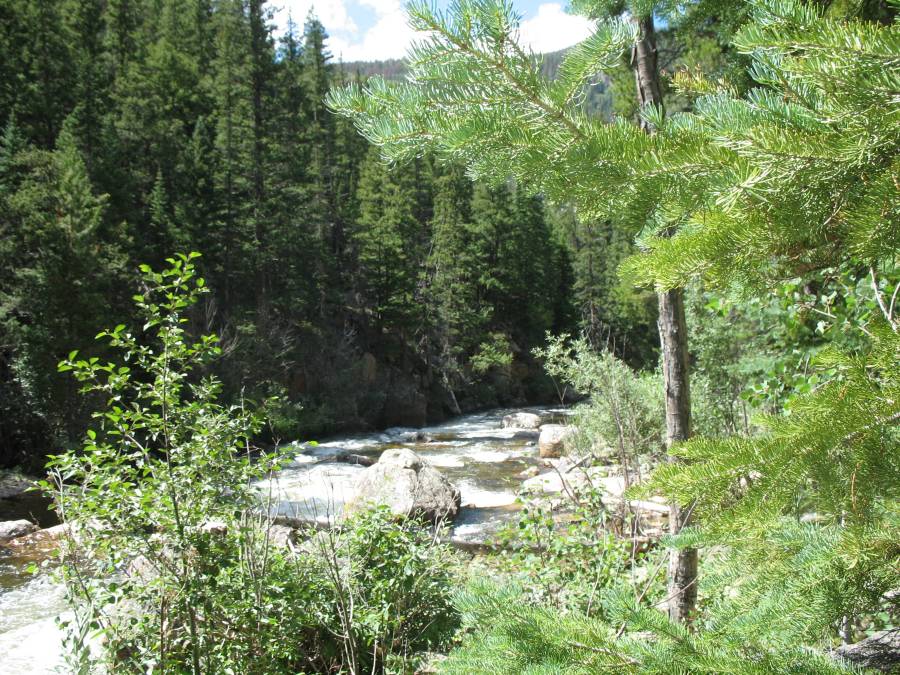
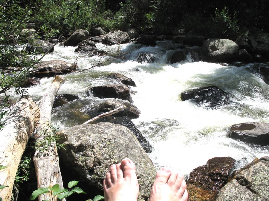
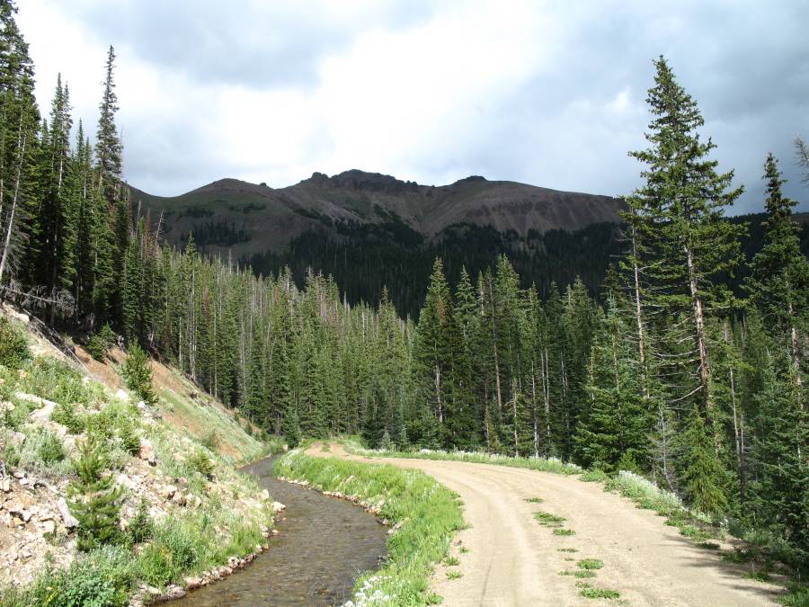
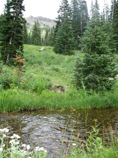
interesting spots - the Big South trailhead and the Snowy Range. The "Big South" trailhead (and campground) are alongside Highway 14. I wondered what was up past the parking area that was visible from the highway. Stopping in, the trail follows along the Poudre River. I thought the Poudre followed along Highway 14, up the canyon all the way to the pass, but now see that it turns away. Within moments from leaving the trailhead, the sound of the rushing water kept any highway noise from my ears. I walked up perhaps a 1/2 mile and sat on a nice rock to eat a late lunch. A return to see more trail is on the list. Back to the car I continued up to the Cameron Pass parking area and the Upper Michigan Ditch trail . At the head of the trail I met ?Eric?, employed by the City of Fort Collins, who manages the head (intake) and waste (outflow) gates of the area. While talking for a bit, he mentioned that a heavy rain, can require human action to control excessive waterflow with the water diversion facilities of the area. Two other comments were that people visit this area for the wildflowers - coming close to those of the Crested Butte area, and that of the wooden pipeline farther to the end of the ditch. The wooden pipe was made around 1930 when the ditch was put into place. I left wondering what the wooden pipe looked like. With a late start to the day (I arrived at the ditch in the afternoon) I was gambling with an afternoon rain. Unfortunately, rain would present itself with me being only about 1/2-way into the length of the ditch. I made a quick retreat to a set of trailside cabins for a dry porch to wait out the rain. At the first dry-ish window I jumped the mile back to the car. I'll wish to return... on a day with no threat of rain. For now, I'll continue on the loop as the Snowy Range is one area I tried to visit months prior only to have the road still closed due to snow. There shouldn't be any risk of snow closures today. I made a straight drive through without stopping as daylight moments were counting down. I could see making the area a routine visit spot. Here's a map of the day's route. Clockwise. |
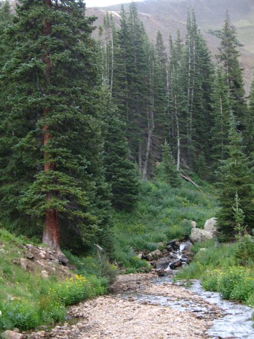
| Picnic spot up the Big South trail / Cache La Poudre River |
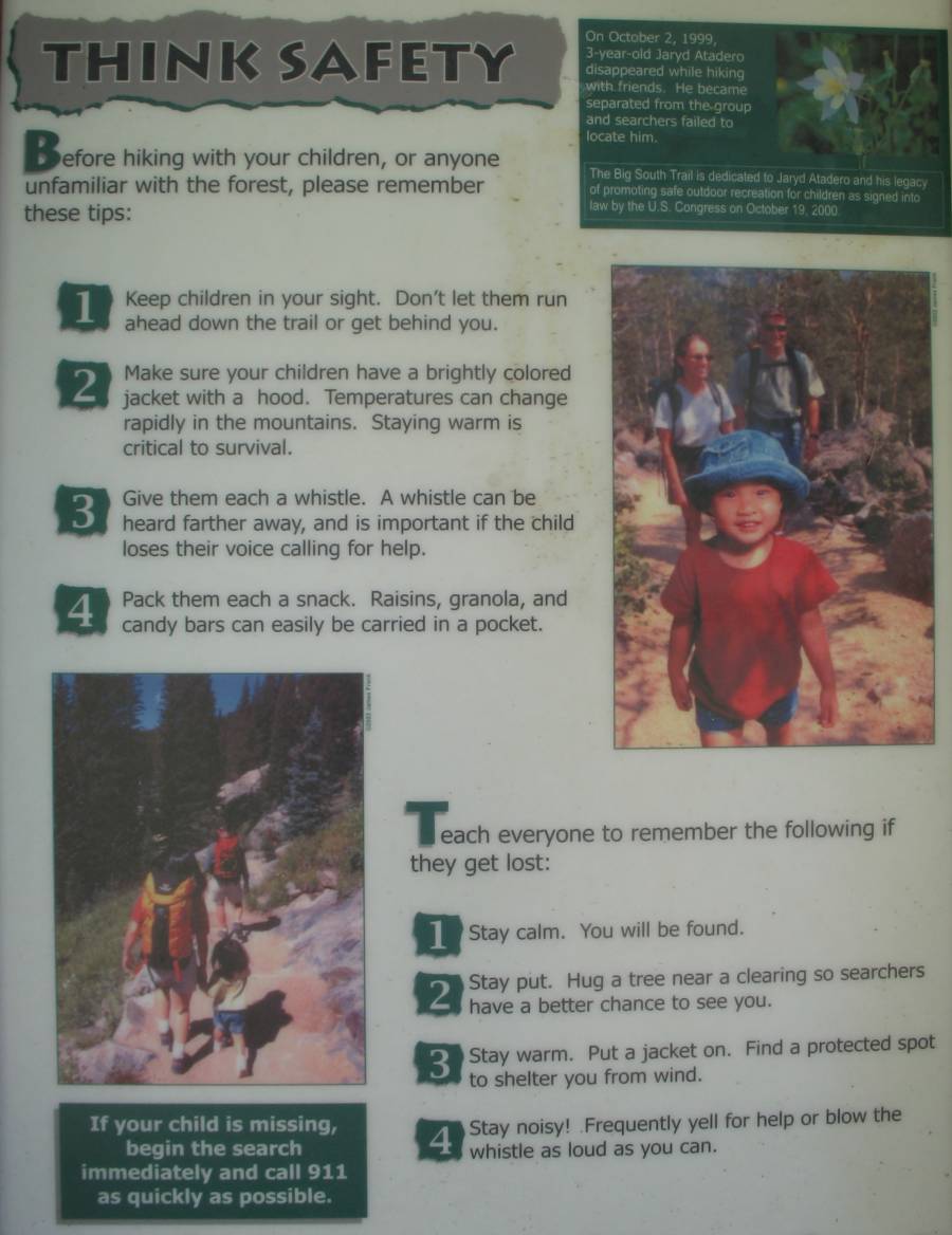
| Trailhead info sign. The green box in the top right corner - yet another "lost child" memorial. Jaryd Atadero, 3-years old, Disappeared Oct 2, 1999. Some clothing, of his, were found in 2003. |
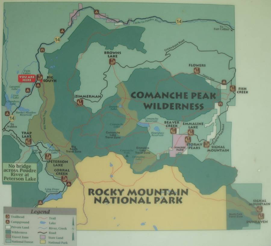
| At the left edge of the info map is a red "you are here" tag. |
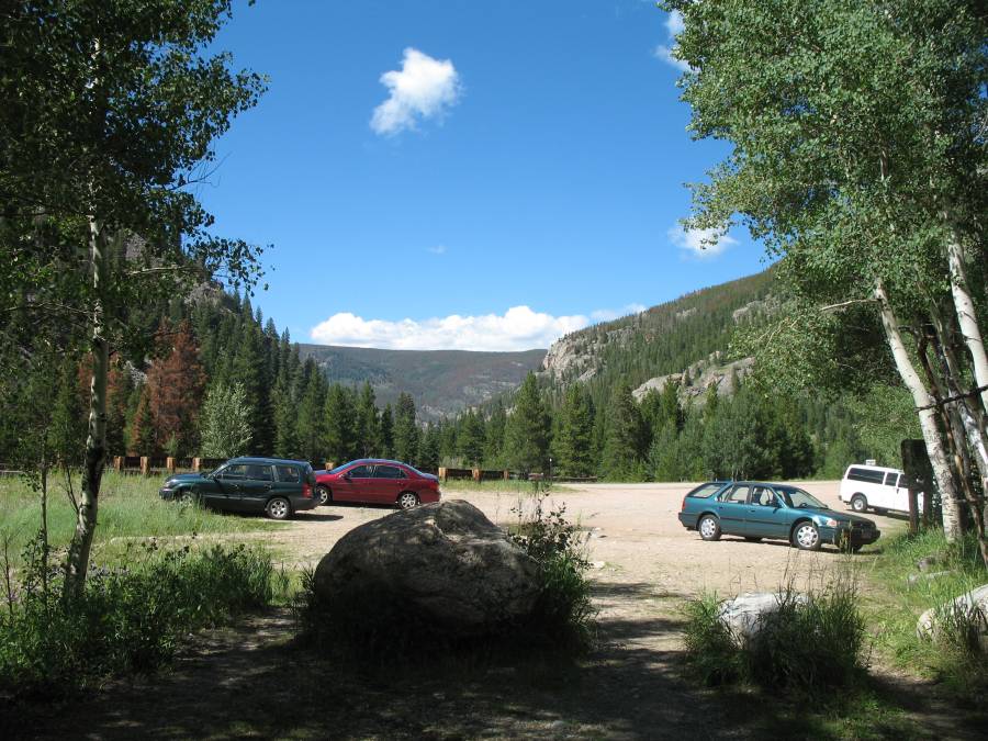
| Back to the parking lot for the trailhead. It looks nice as yet. |
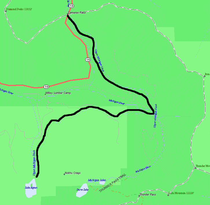
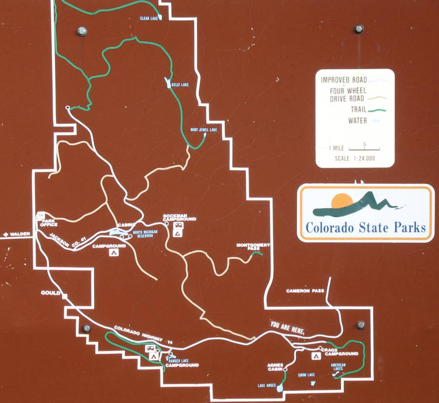
| Map showing detail for the ditch and trail. Lake Agnes is one of the water sources. |
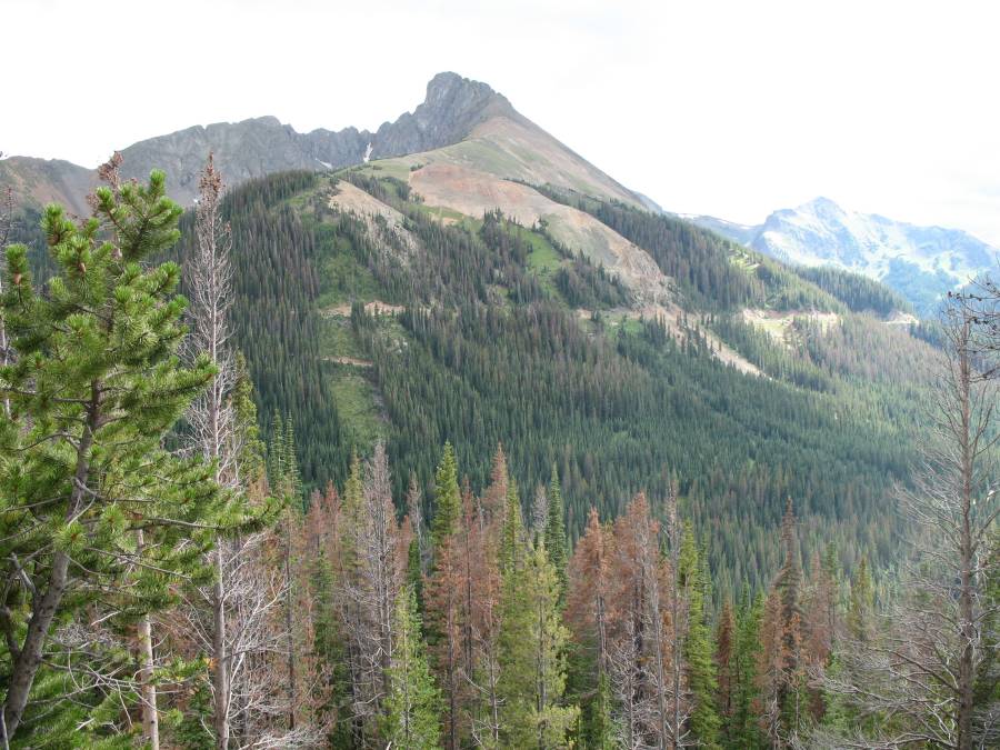
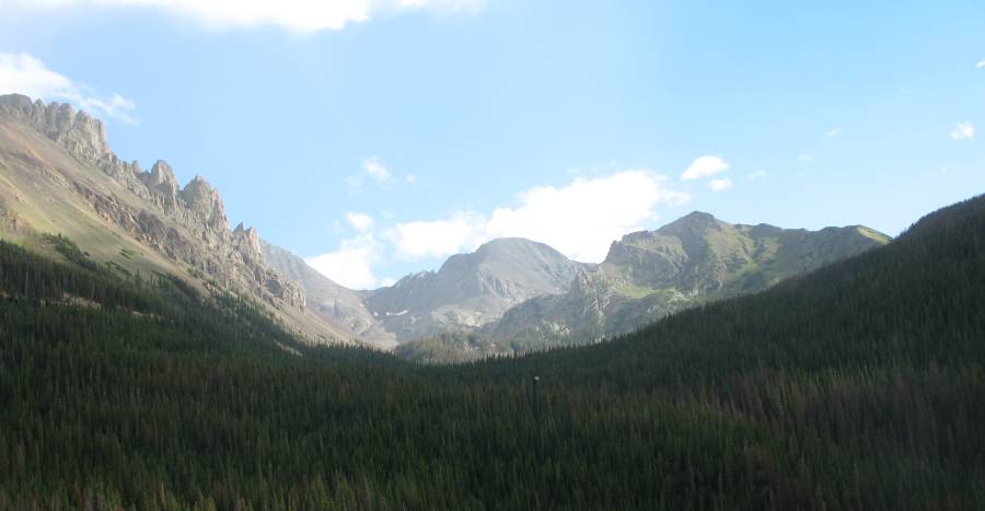
| We're on the Upper Michigan Ditch
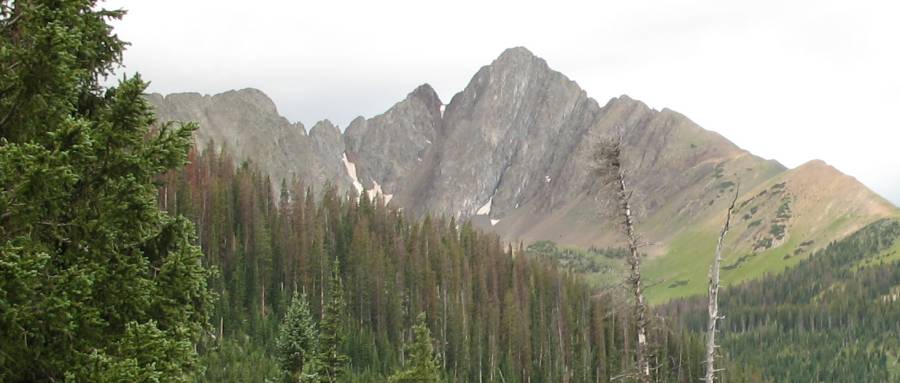
trail. We're looking across a valley towards the Never Summer mountains. The horizontal line across the mountains is the ditch and trail. Dead, rust brown colored trees are becoming all too common. There's a "bark beetle / pine beetle" infestation that's killing hugh swaths of pine trees. Sad. |
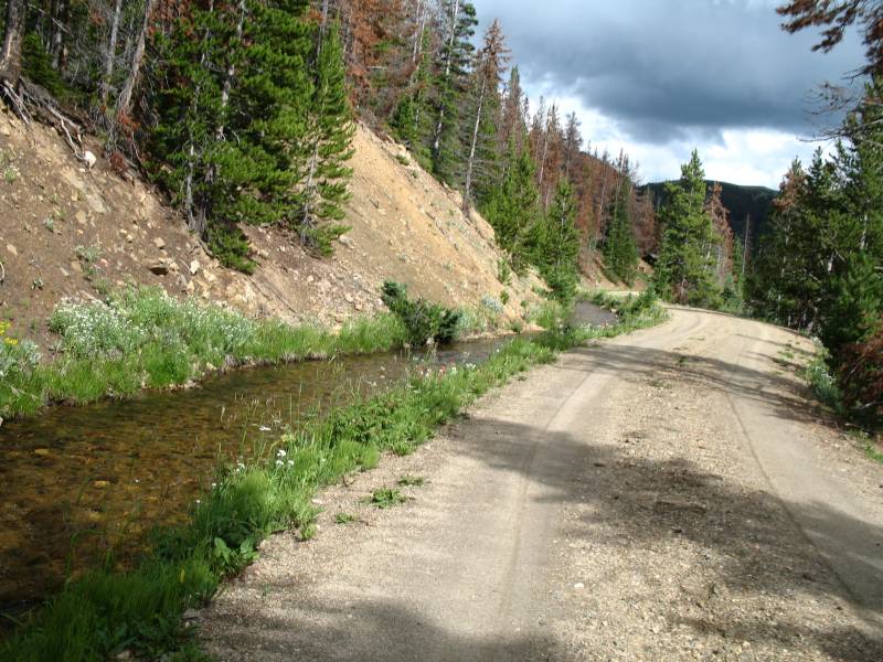
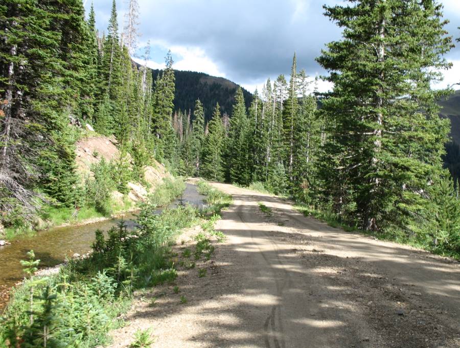
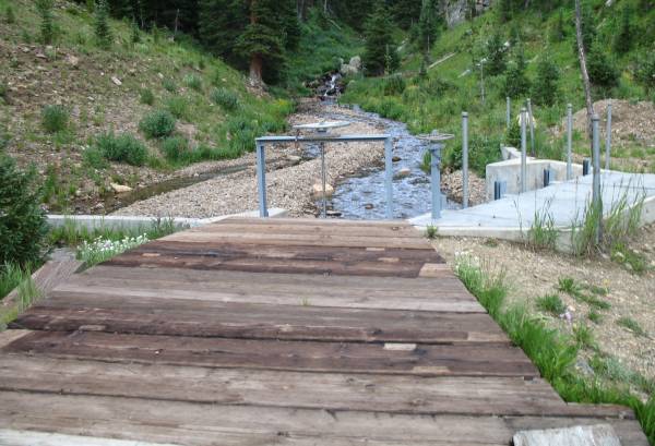
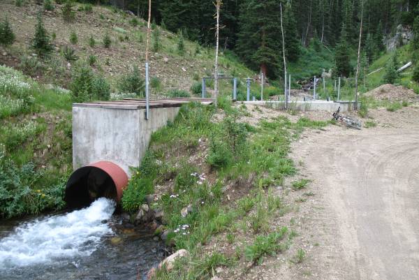
| A typical view of the ditch and trail on the "lower half" of its run. Farther up, the ditch is covered. Near the head it's in an exposed, wooden pipe. |
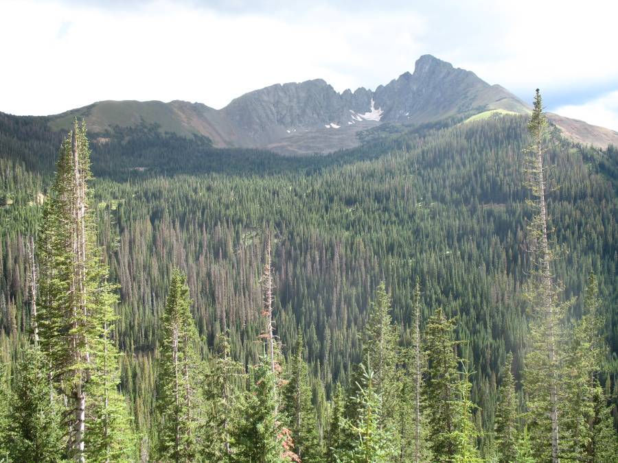
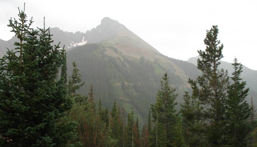
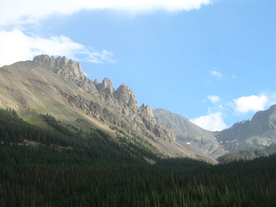
| The "Never Summer" holding their own by keeping snow around. |
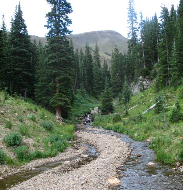
| I believe this is the Michigan River, looking up towards its headwaters. |
| One of the water control gates on the ditch. The water cascading down (from the photo above) enters the ditch. The waste gates are closed so all of the water from above is being diverted. The tube/tunnel visible is water coming from higher up the ditch. |
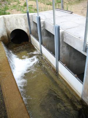
| The ditch follows the service road. It flows into the gate struction at the left and exits the right, with Michigan River water entering. |
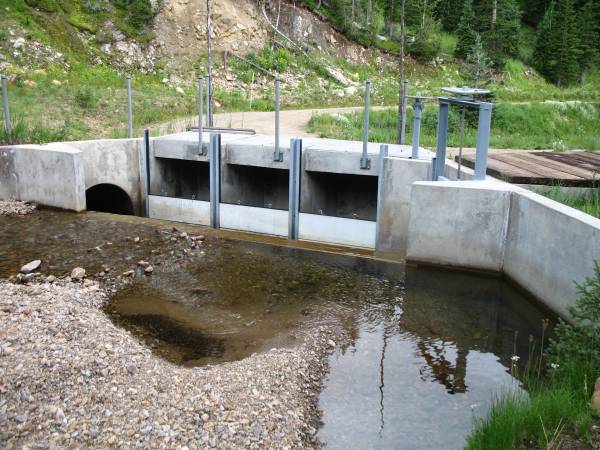
| Water expelling the structure to continue the ditch journey with Fort Collins as a use destination. |
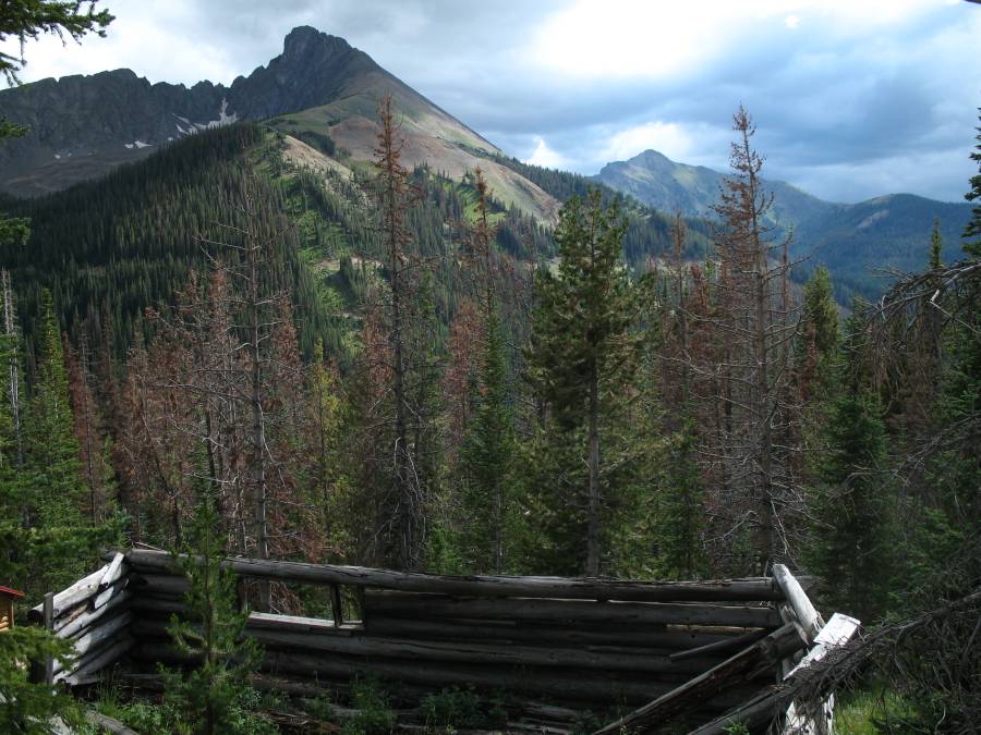
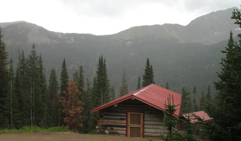
| Back at the cabins (some occupied, some locked) waiting for the rain to pass. |
| Back at Cameron Pass, jumping into the car to head towards the Snowy Range. |
| In the valley, between Highway 14 and the ditch trail, there is a state park. I didn't wish to pay the entrance fee for the quick view. It'll be on the "some day" list. |
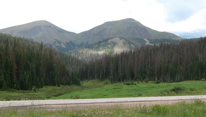
| Ah, looking south from Highway 14 towards the end of the ditch trail. You can see the trail making itself visible at the far left area with rocks visible due to removed trees. Lake Agnes, a main source of water for the ditch, is cradled in the mountain valley above the tops of the trees, in the center of the photo. |
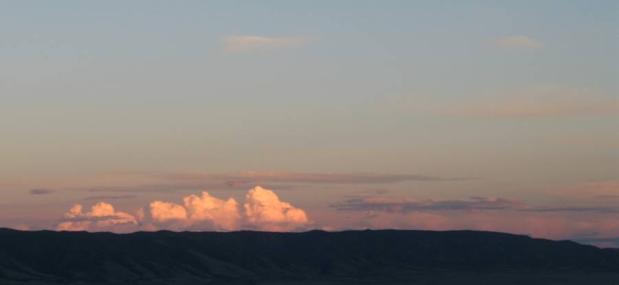
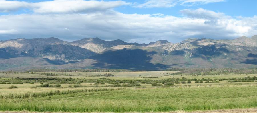
| Coming down from Cameron Pass we
make our way towards Walden. Looking east in the afternoon sun with
spotty clouds - I often stop for a photo or two. Panorama Click for a larger image |
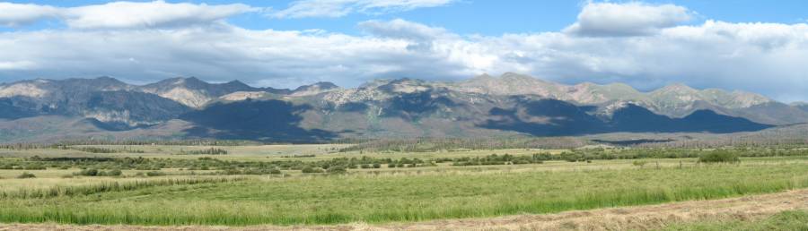
| Panorama This shows a slightly wider image than above Click for a larger image |
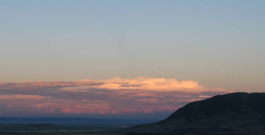
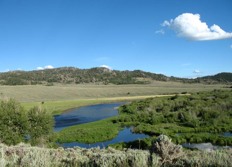
| To me, this is the nicest photo of the day. We're in southern Wyoming at a rafting put-in for the North Platte River. |
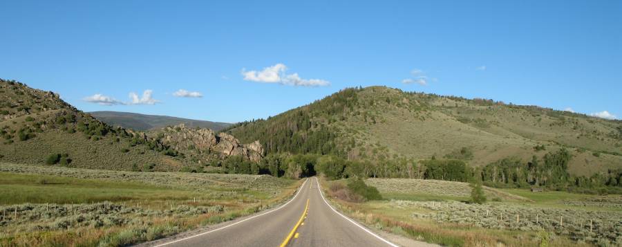
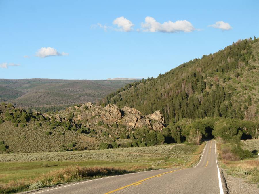
| Entrance to the Snowy Range. The road drops into a dark dunnel of trees. Interesting. |
| Swaths of dark green forest, sorry, no. |
| No photos IN the Snowy Range - but some day I will have'm. We've exited the eastern side and are looking towards nicely lit evening clouds over Laramie & Cheyenne. |