"Around the Block"
|
If
you wish to get out of town and head over the mountains, the options
are few if you wish to stay on asphalt - specifically in snow season
when roads are closed. The task today would be to head west on Colorado
State Route 14. We'd head up the Poudre River canyon, jump over Cameron
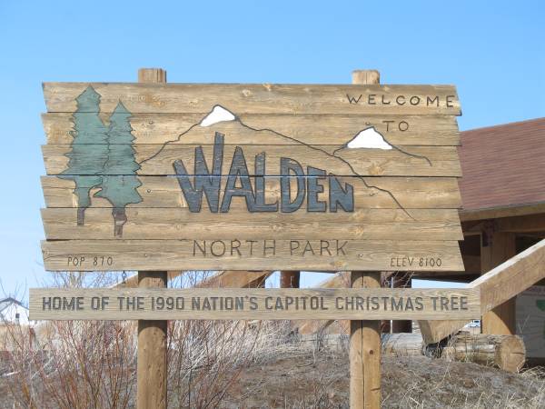
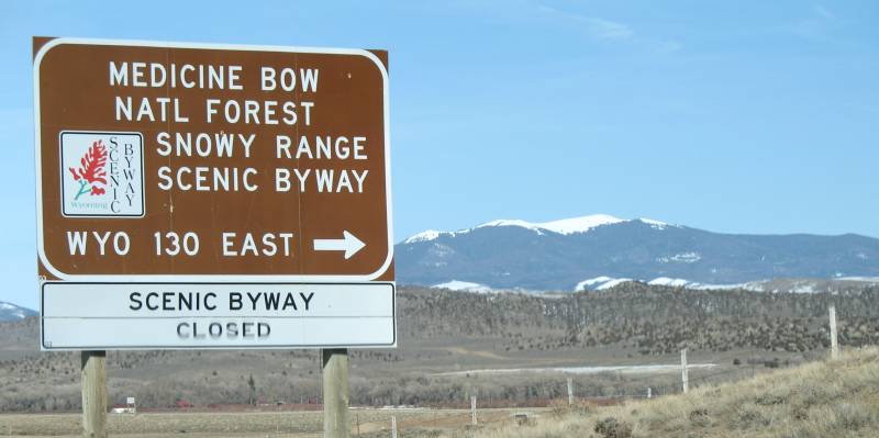
Pass, and dip down into north park, home to Walden CO. At Walden I'd need to make a decision - head south and make my way down to Interstate 70, taking it back over the mountains and to Denver or head North and make my way up towards Interstate 80. Heading North I would have two options, the first of which I'd skip (King's Canyon CO to Laramie WY - highlighted slightly on the map) as I've been that way before. The second option would be to take Wyoming route 130 through the Snowy Range. Sadly, this second route would be closed for the season, leaving me traveling farther north to I-80 for the return over the mountains. Round trip "around the block" miles... 311 |

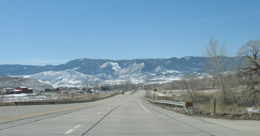
| The first westerly view of the foothills. |
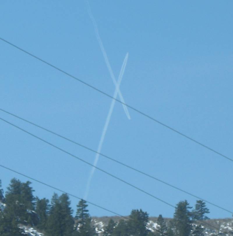
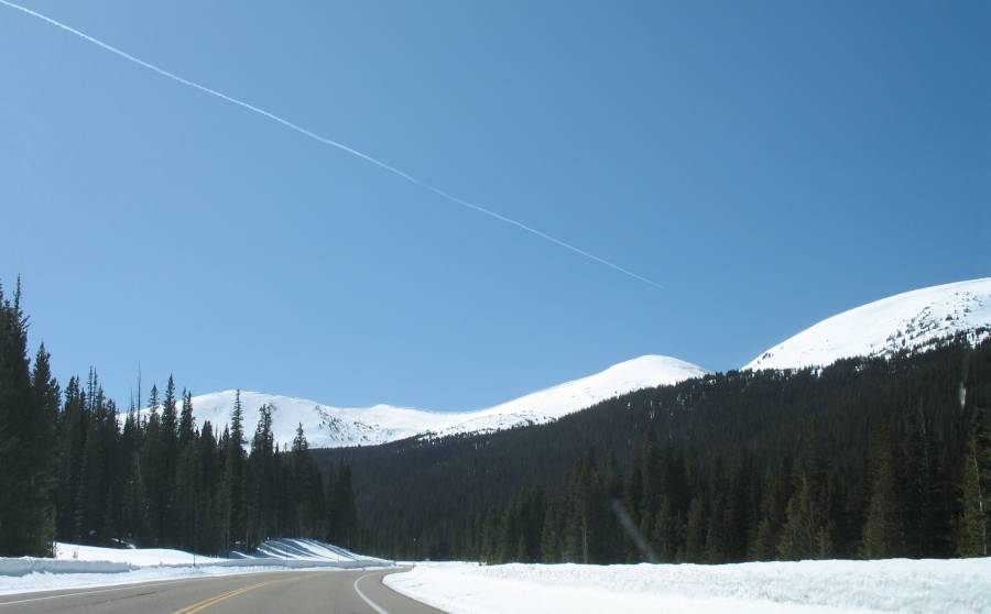
| These two airplanes looked to be on a collision course. |
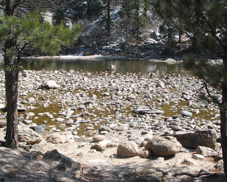
| The Poudre River. Not much water flowing in the winter. |
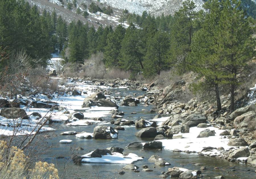
| Boulders - good for summertime rafting! |
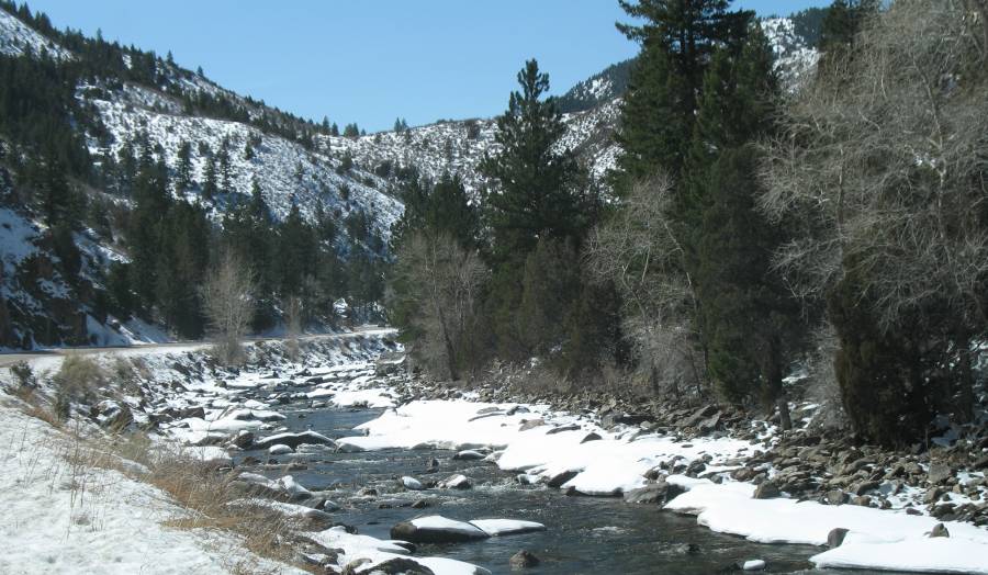
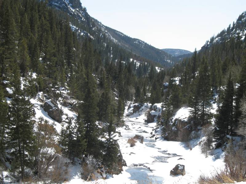
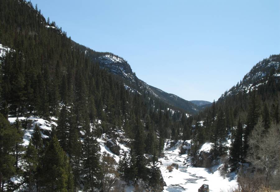
| Now for some hills |
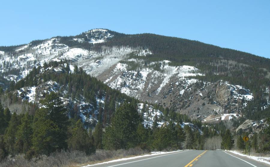
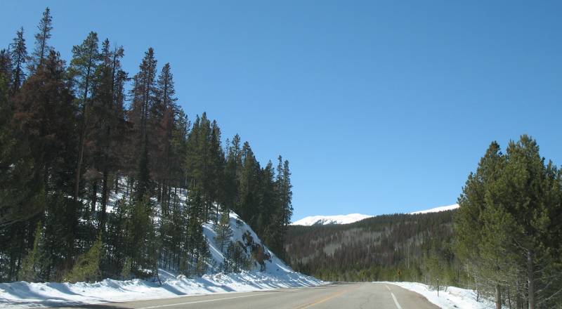
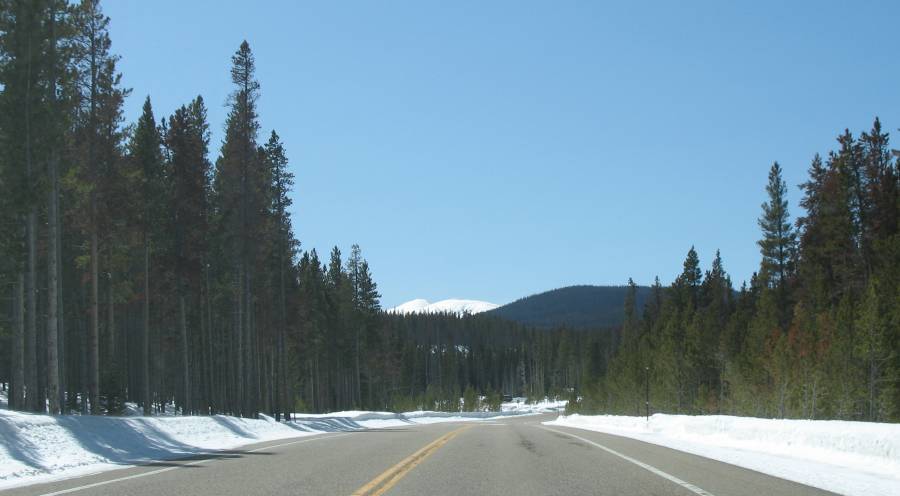
| Snow at the road's edge - still low |
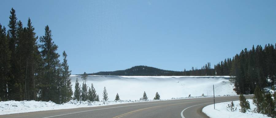
| Though shortly later it'll be deeper! |
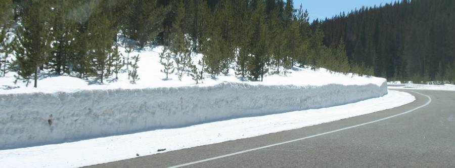
| Deep enough to be cleared with a snow blower vs a plow. |
| Winds were up a bit - subtle snakes of snow on the roadway |
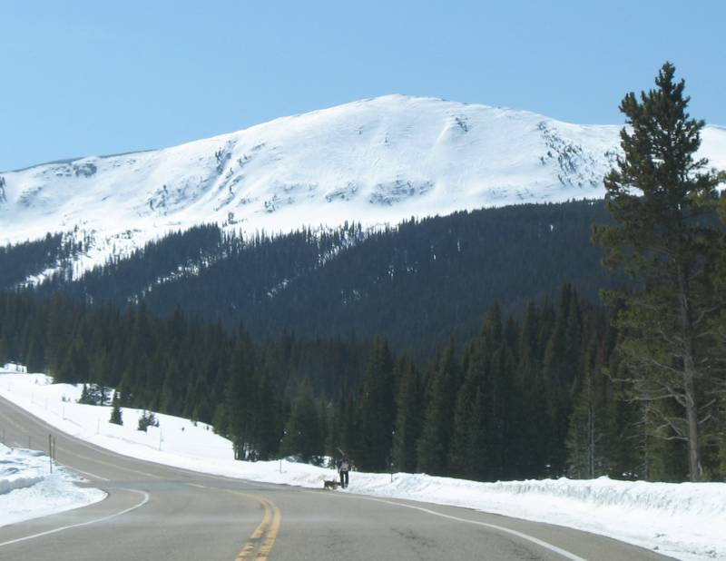
| Snowshoer and a couple dogs heading to the trails. |
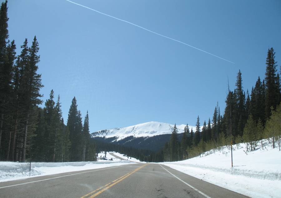
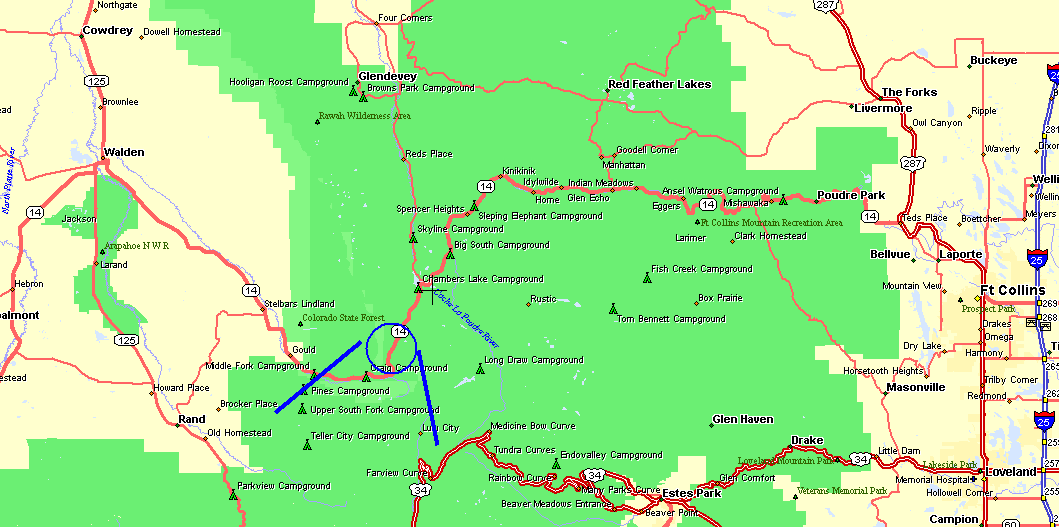
| The next several mountain shots were from this area of the map. |
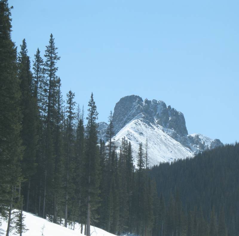
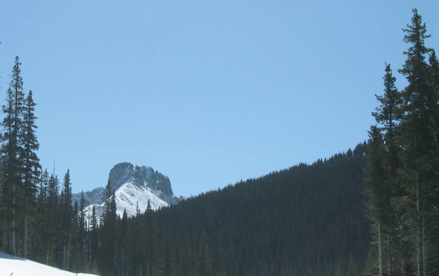
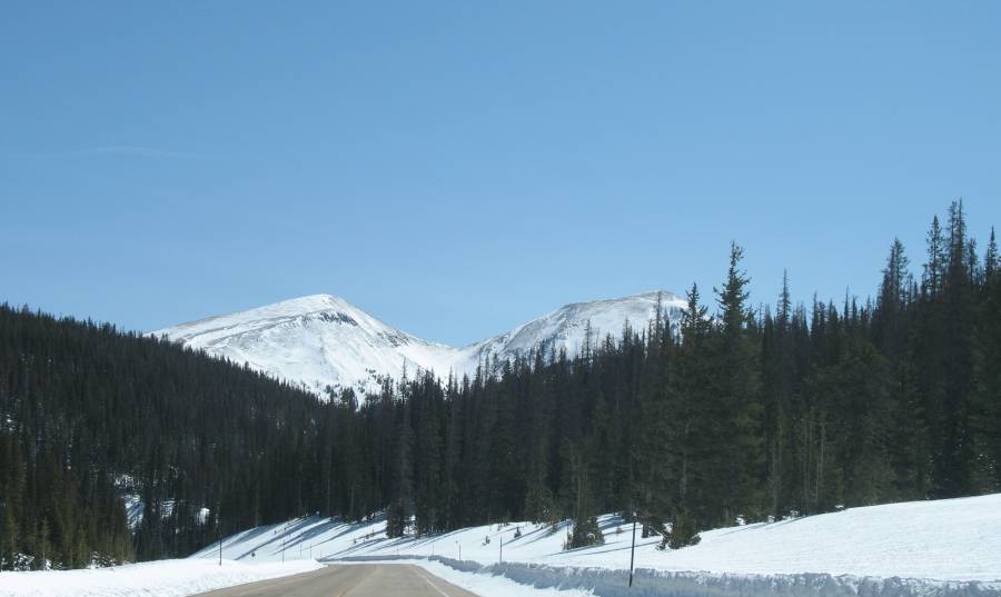
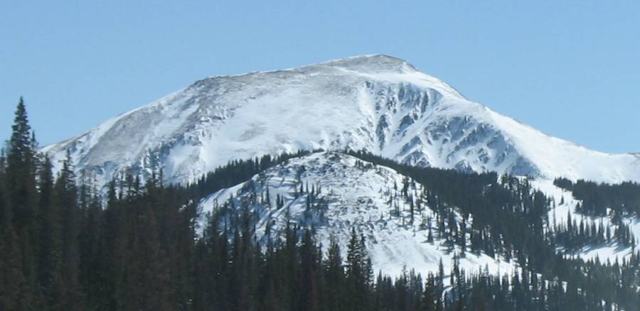
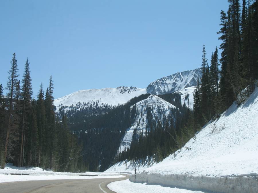
| This
'turn right' sign always catches my eye. We're coming down a hill where
the view opens up onto a valley drop-off with majestic mountains at the
far side of the valley. The sign is a thin, diminutive notice to the
big change ahead. |
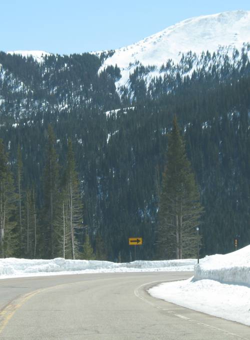
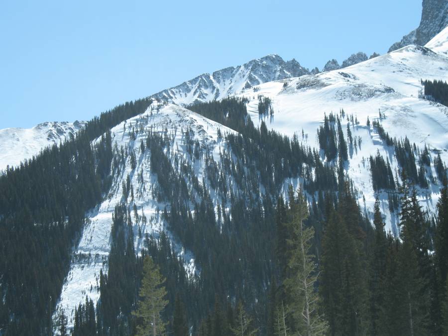
| The
horizontal slice through the image gives an image of a man-made road.
Perhaps in the past it was used as a logging road. Now it might be
a Jeep trail. Some day I hope to have pictures from "other there"! Notice the left, white treeless swath - detail next pic... |
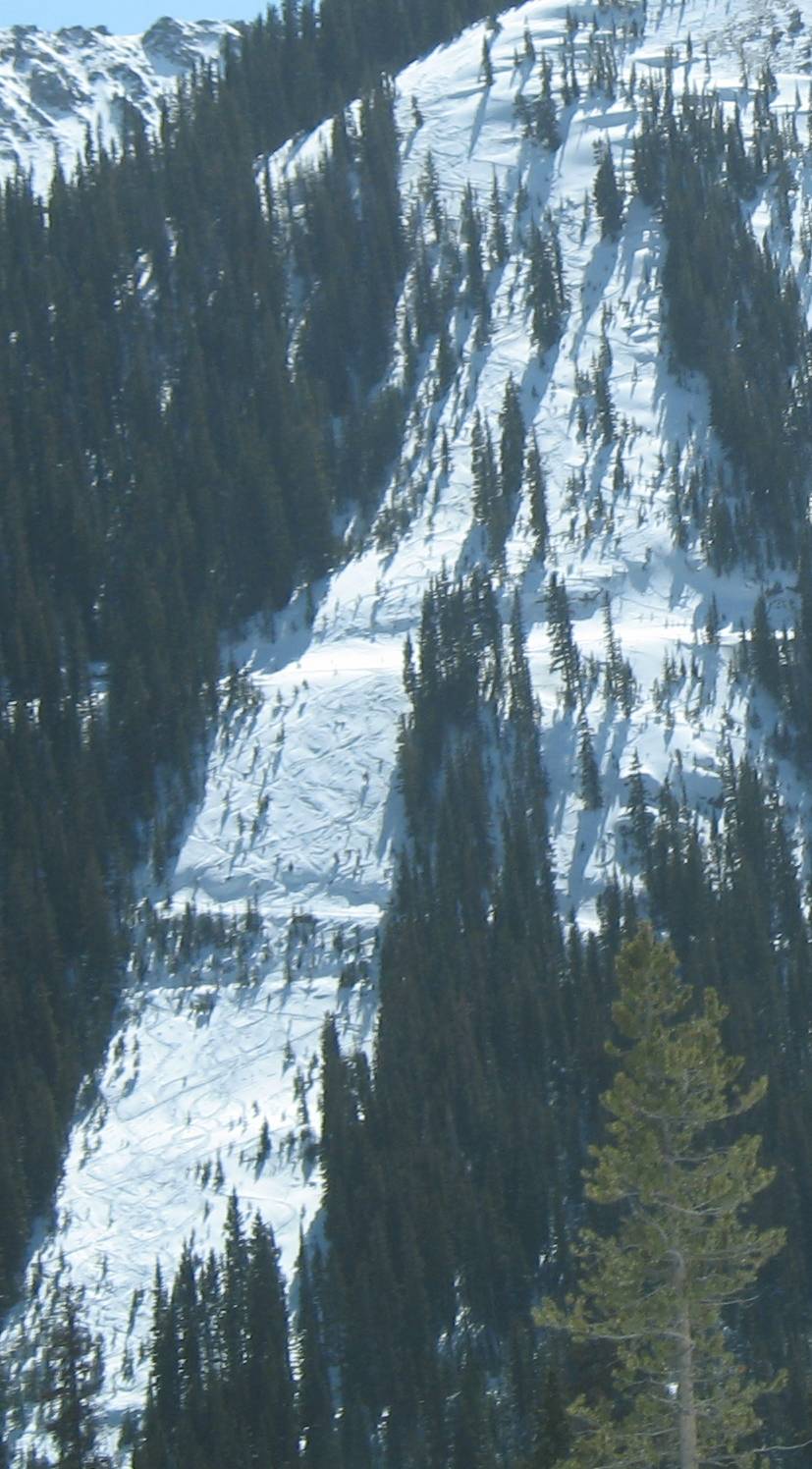
| See
the zig-zag marks progressing down the slope? It's not a commercial ski
slope with ski lifts but rather a "back country" ski slope. Each person
that enjoyed the natural slide down endured, at least in part, a
strenuous walk UP (perhaps a buddy with a snowmobile helped via the
horizontal trail sections) |
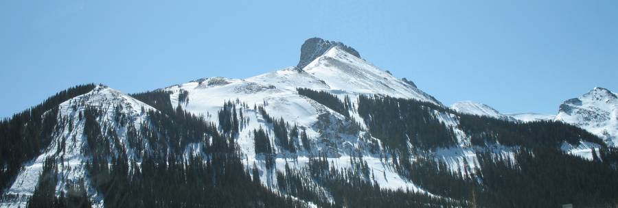
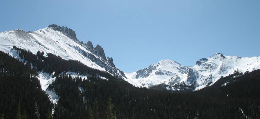
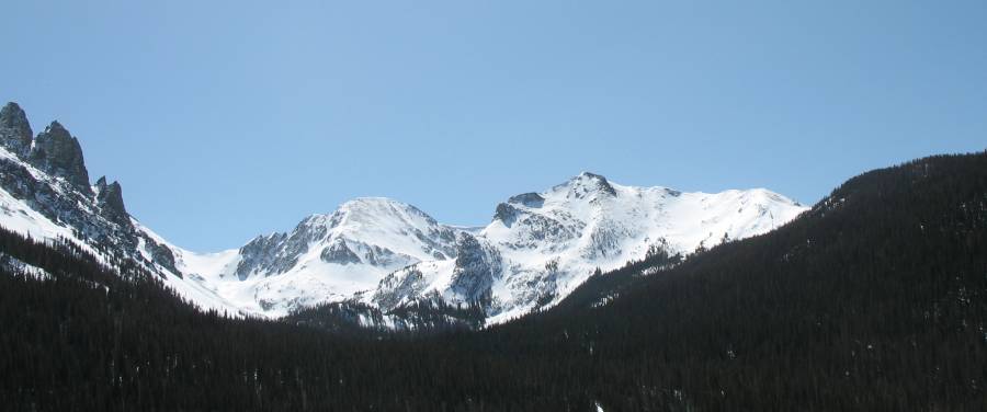
| Click for a larger size of this image Use the full size pine trees for perspective |
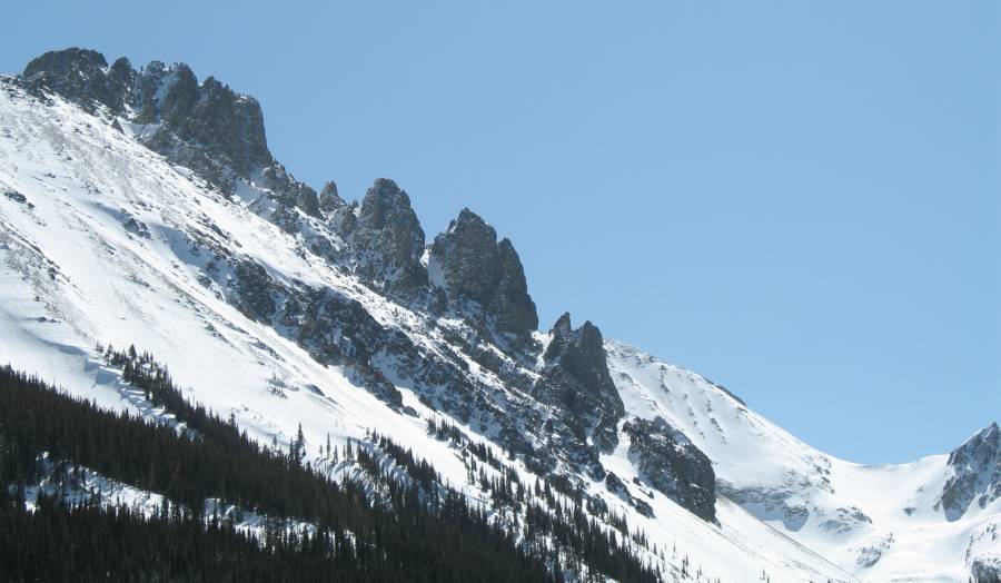
| We're looking west, heading down the open section towards Walden. A quick change from the white coated peaks a mile prior. |
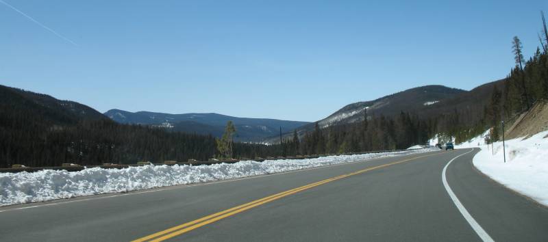
| A few more miles we come about the "other side of the mountain" to the first few white peaks from far above. Click for a larger size |

| The next two images started from the same picture, but were cut differently... |
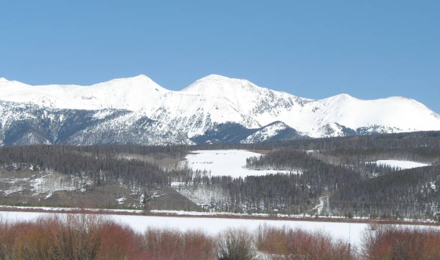
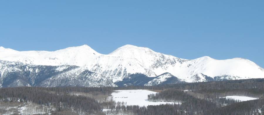
| Panorama Click for a larger size |


| One tree or two? |
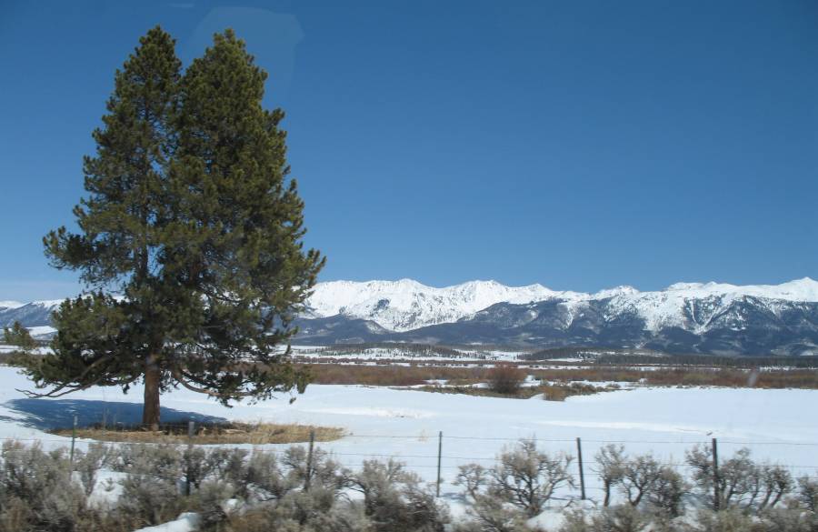
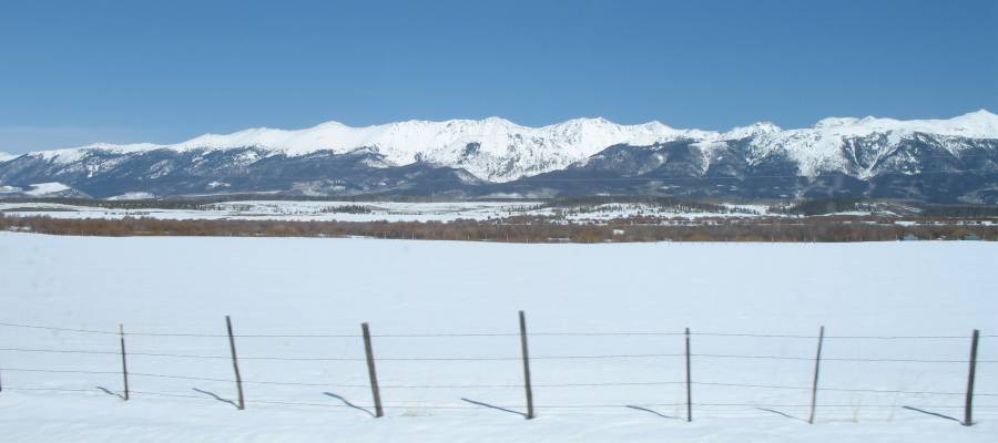

| Click for a larger size |

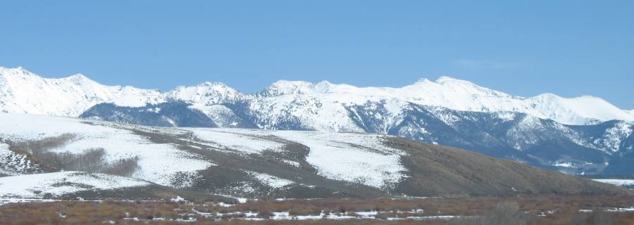
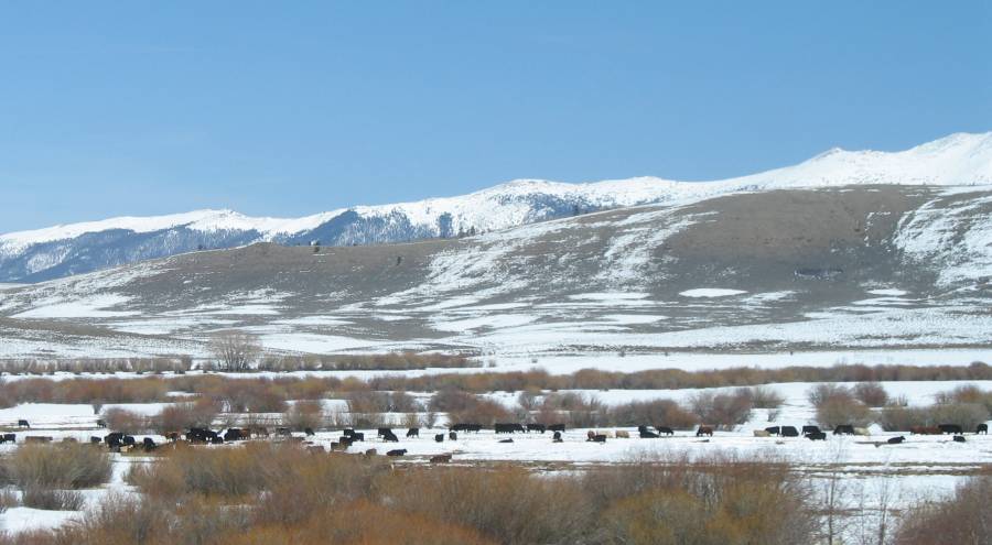
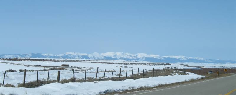
| Looking west. The other side is Steamboat Springs CO |
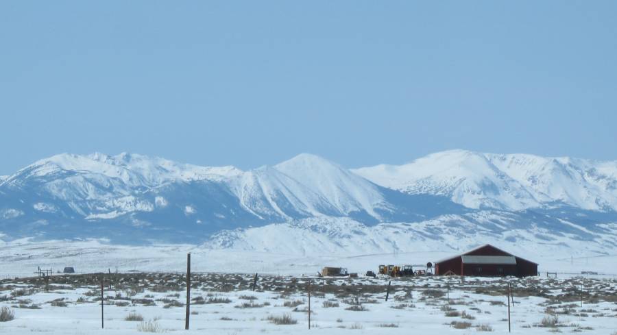
| Looking
southwest across the flats of north park. The white cut in the dark
green moutain (far right) is for the power lines connecting the coal
generation plant at Craig CO to the power company for Fort Collins,
Loveland, Longmont & Estes Park. |

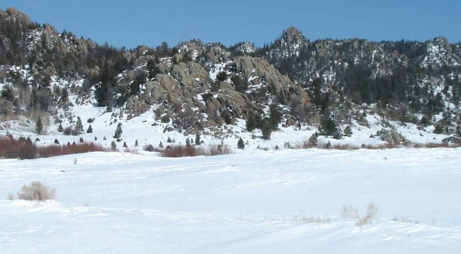
| Looking at the southern ring of mountains. |
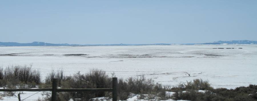
| We're on a small side street in Walden CO looking to the west. I stopped at the River Rock Cafe for lunch and will shortly call Bridget for an important question: Should I head South or should I head North? Bridget (and Dad and Mom) all answered "North", so pictures of "North" it shall be. |
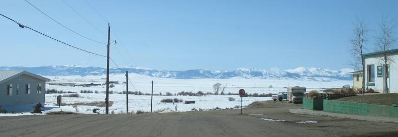
| Panorama Click for a larger size We're in Walden CO and are looking west. |

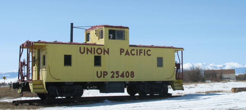
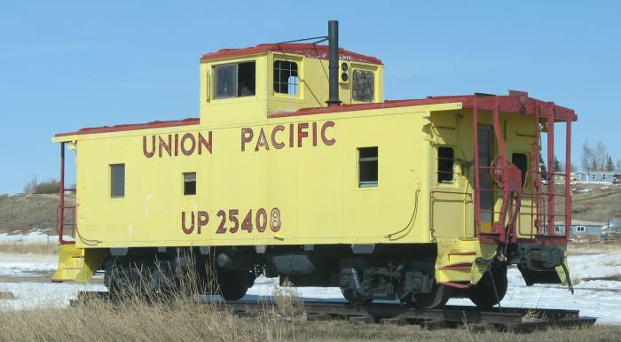
| A
static display of a Union Pacific caboose. There used to be a rail line
into town but it has long been removed. It started under the name of
"Laramie, North Park and Western Railroad" and connected a coal mine
near here (look up Coalmont CO) to the rail system at Laramie WY. |
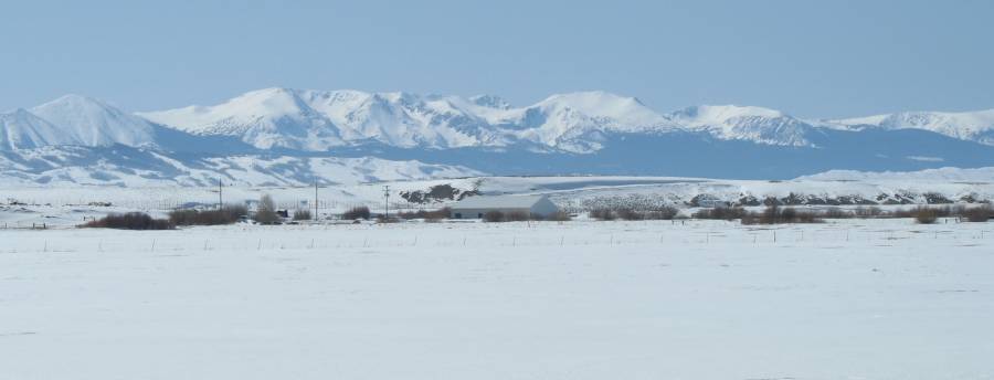

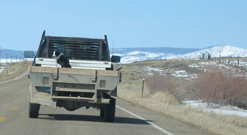
| Heading North we're behind a ranch truck with requisite ranch dog. |
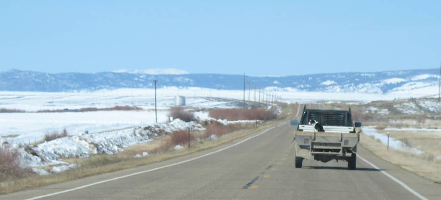
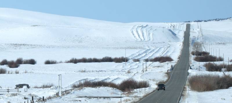
| No snow today, but some is on the horizon - plow trucks aren't put away for the season as yet. |
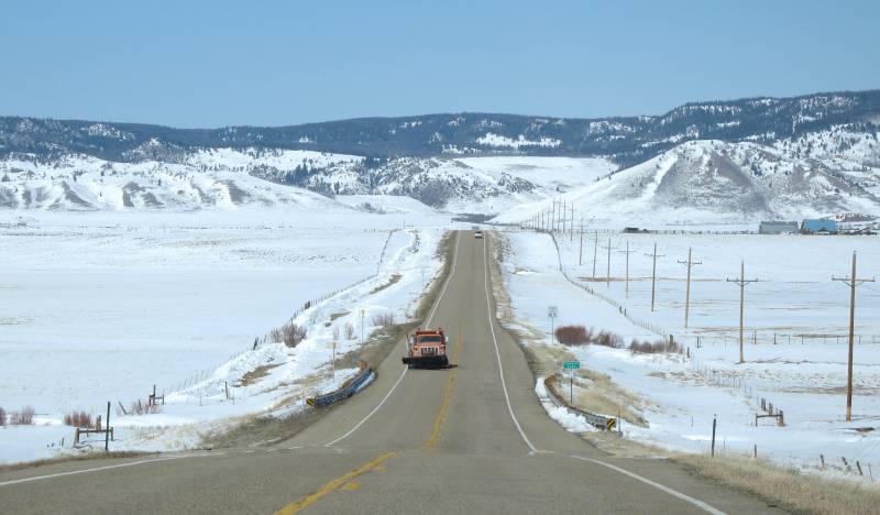

| Note
the "stripes" on the western edge of the roadway. They're a first for
me and took several miles to figure out. They are plowed "snow
fences" which disturbe the smooth flow of air to help keep the roadway
free from snow. i wonder what's used to make them. |


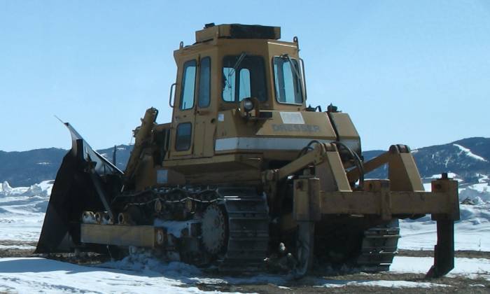
| When the plow's can't get the job done this guy is called in... |
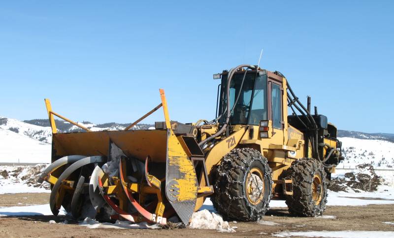
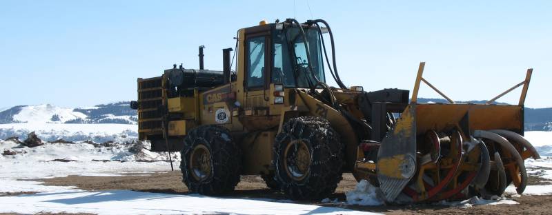
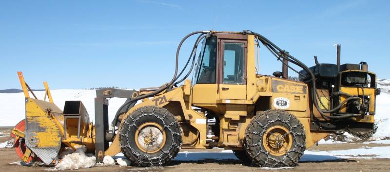
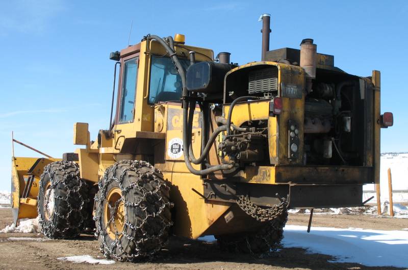
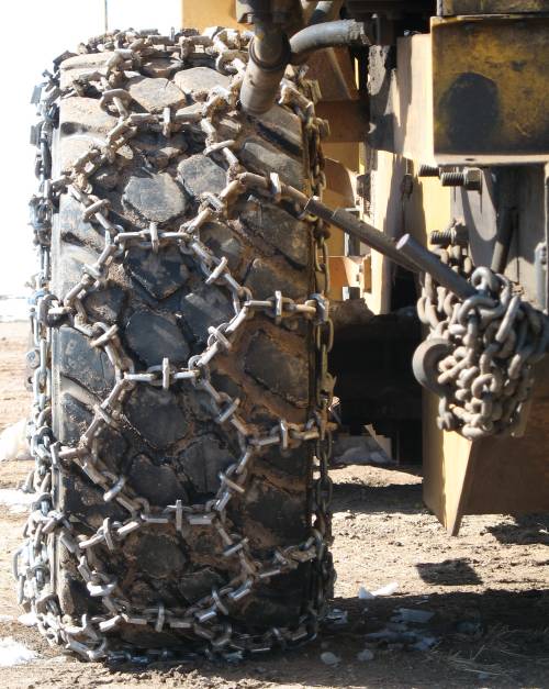
| V-6 Diesel to power the snow thrower |
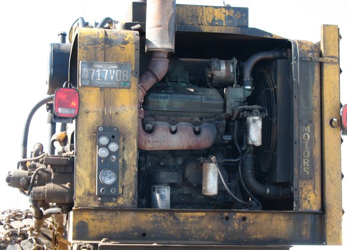
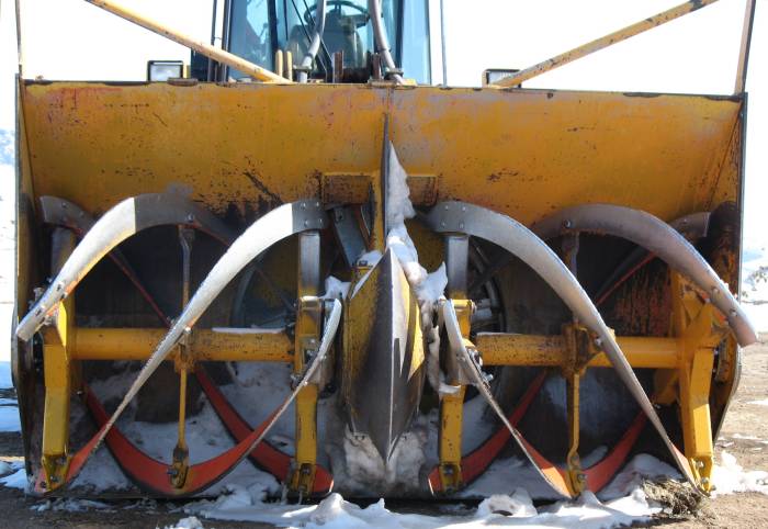
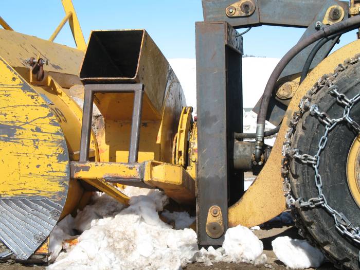
| A mile later we come to the answer for how the "snow fences" were plowed... Off-road use only! |
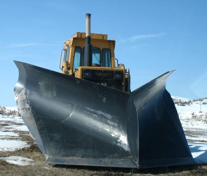
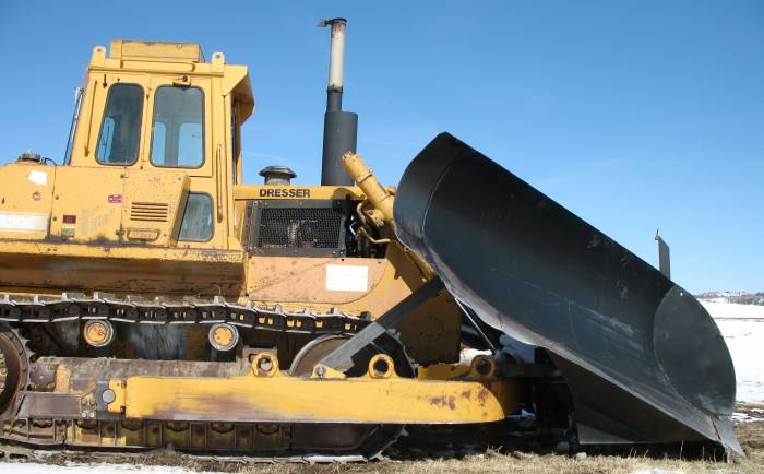
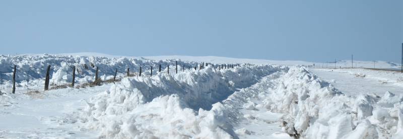
| The result - three to four foot tall ridges to help snow precipitate before the roadway. |
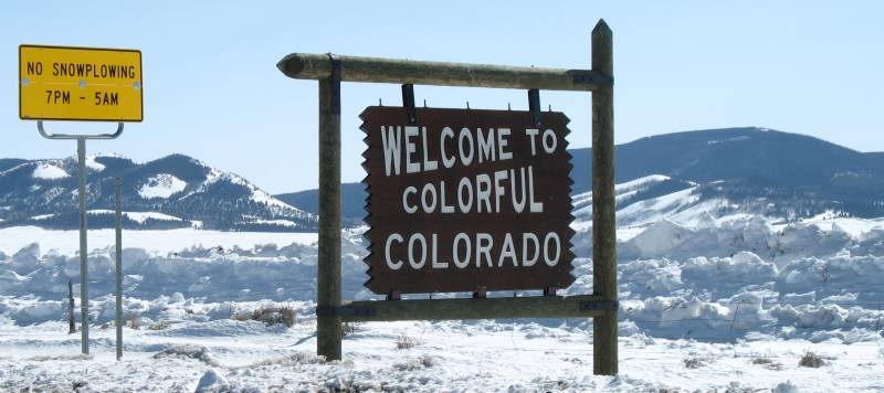
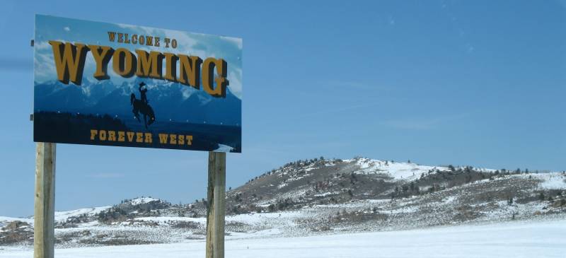
| Wide, treeless expanse |
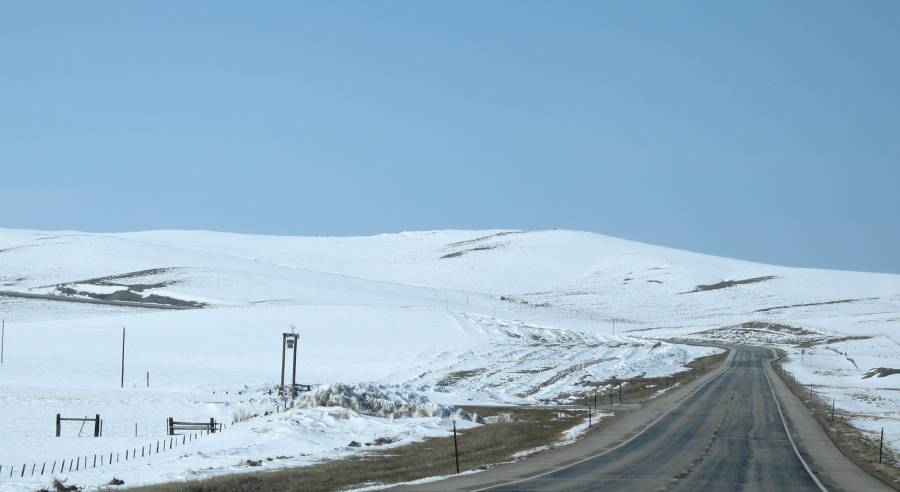
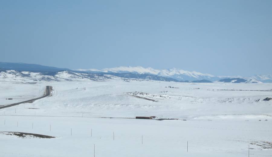
| Panorama Click for a larger size |

| We're in the town of Riverside at the Encampment river |
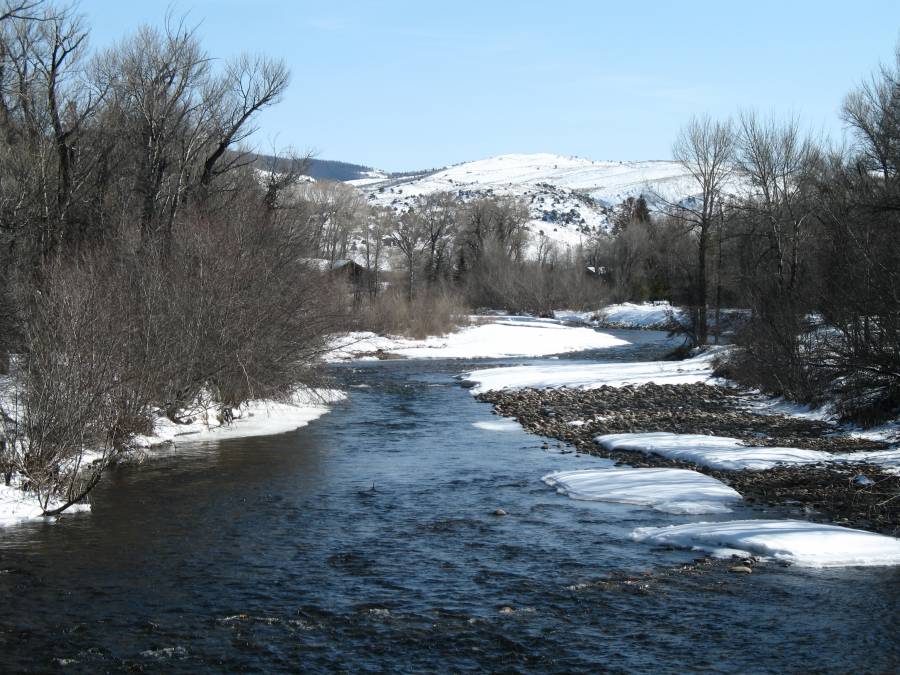
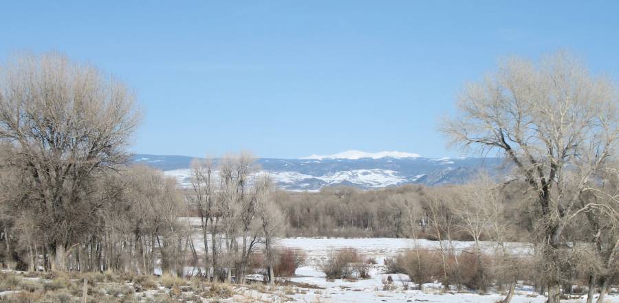
| I
was looking to take WY-130 east to Laramie, not today (perhaps in a
month or two - a goal to visit). I'll have to head up to I-80 before
heading east. |

| Click for a larger size |
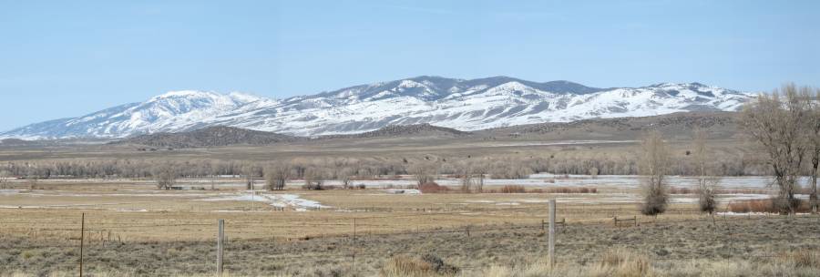
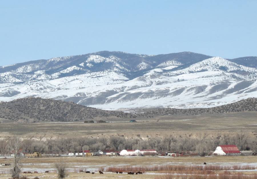
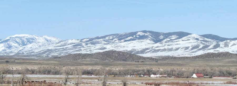
| Panorama Click for a larger size |

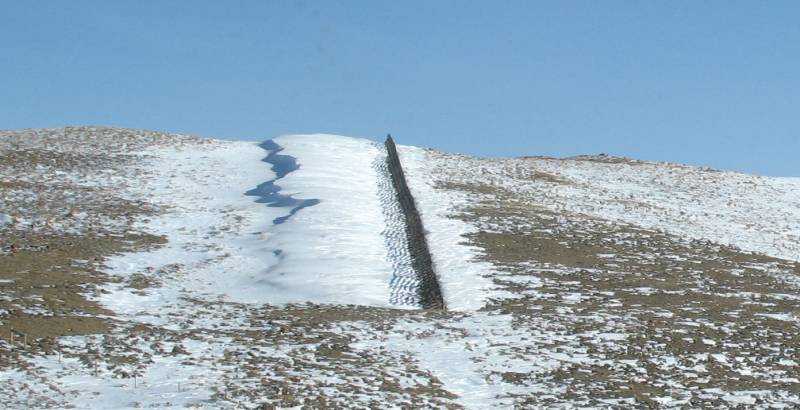
| The results of a snow fence. |
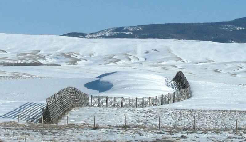
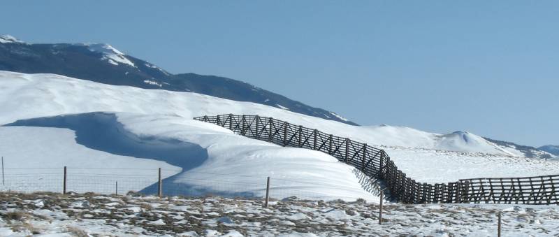
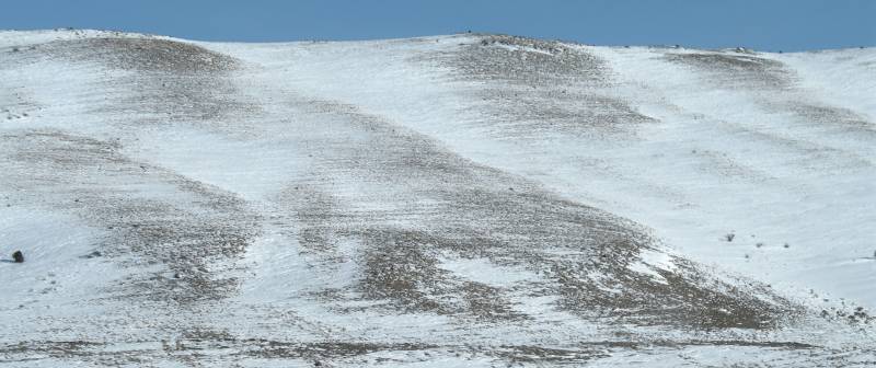
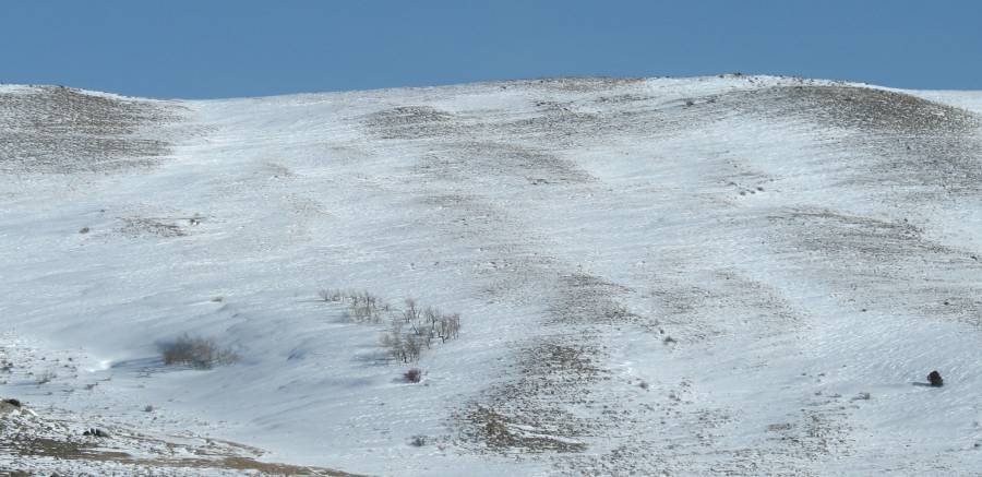
| Wind blown snow |
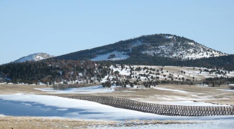
| Looking
southwest from I-80. We've crossed back to the eastern side of the
mountains. The mountains aren't as grand here. None are higher than
"timber line". |

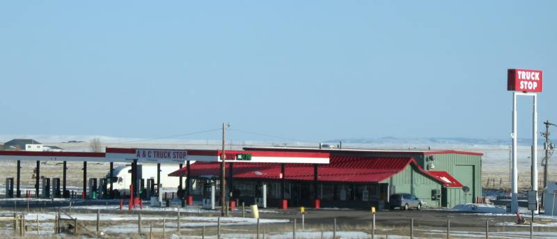
| Luke
and I spent some time in the garage at this truck stop repairing the
electrical system on his aluminum trailer, damaged due to high winds of
the area. |
| Union Pacific railyard at Laramie WY (short video) |
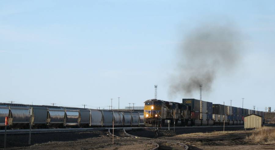
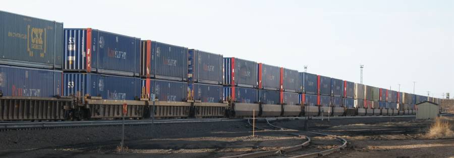
| Ahead
of that stack train is this auto hauler. It's climbing the last large
grade to the highest point on the transcontinental railway. From there
it'll be mostly an easy downhill to the Mississippi River. |

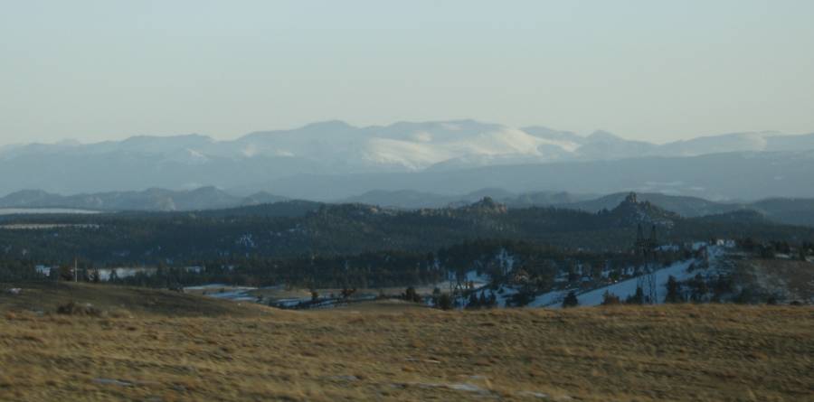
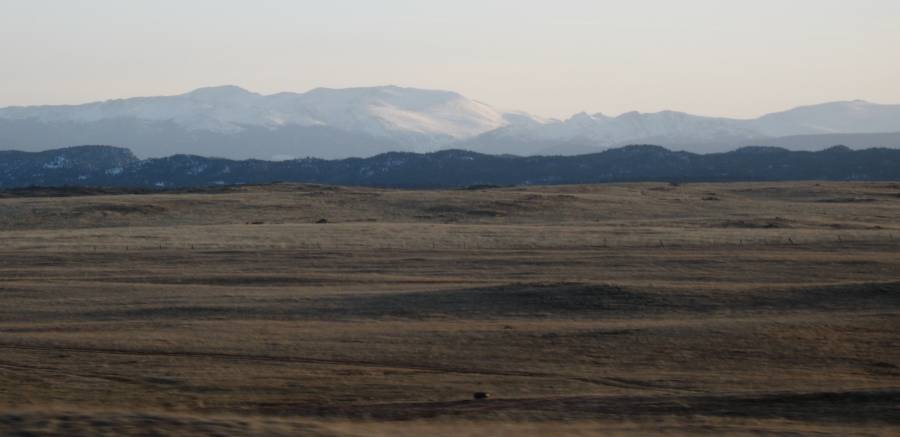
| Looking southwest towards the large mountains we saw earlier, and much closer, today. |
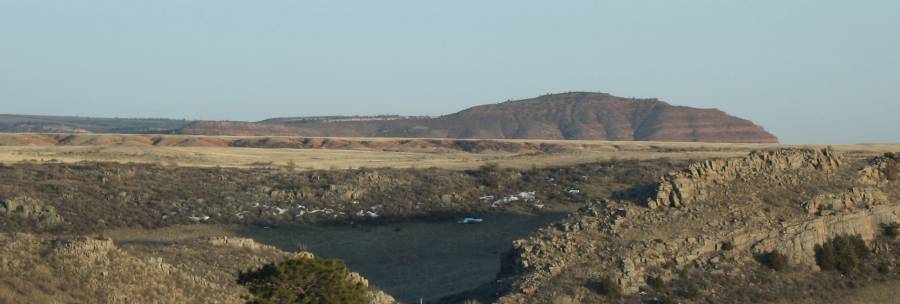
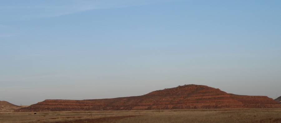
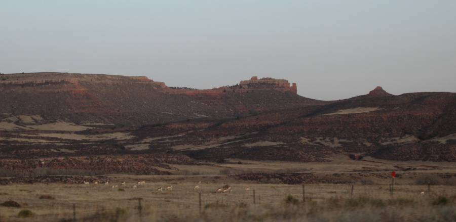
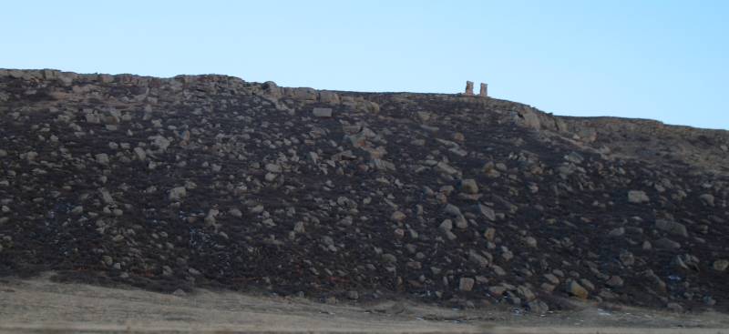
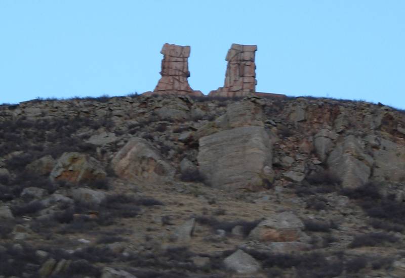
| Back in town - the end of a nice day. |
