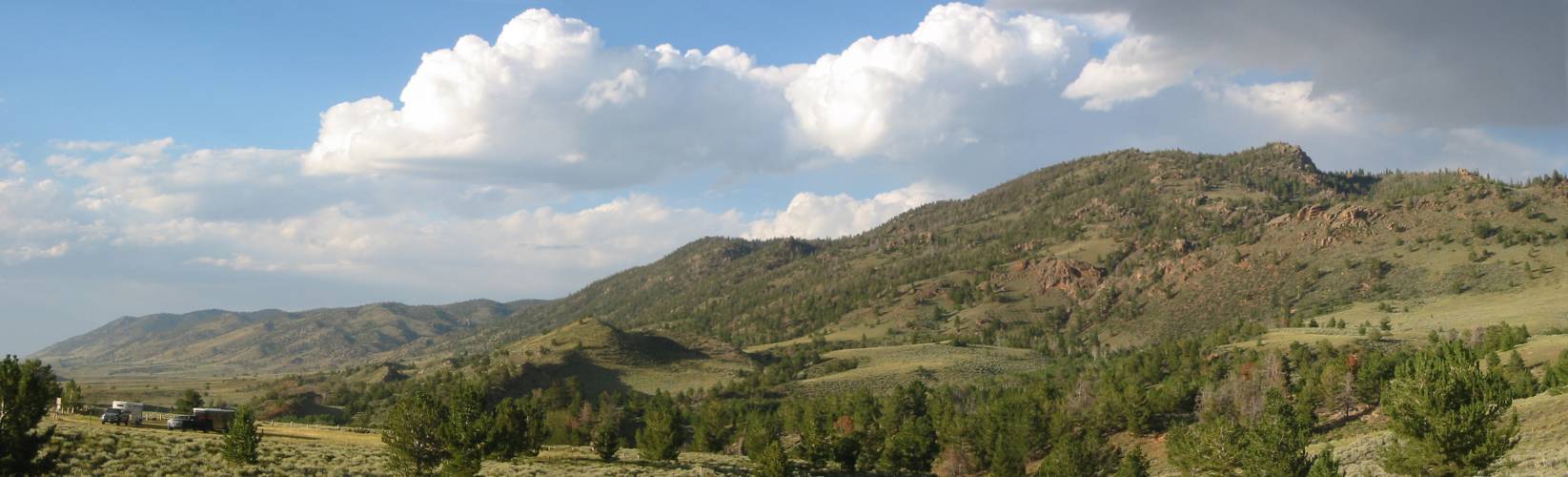
A hunt for one of the "Red Mountains"
| The goal is to find one of the local "Red Mountains". I think I found it (south of the Jelm Observatory) but I don't think it's the one I'm in search of. |
| I get a kick out of this place as it is on
my map. It's barely more than a gas station at the corner of Colorado
14 and US 287 northwest of Fort Collins. On the way by today I stopped
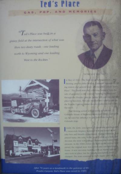
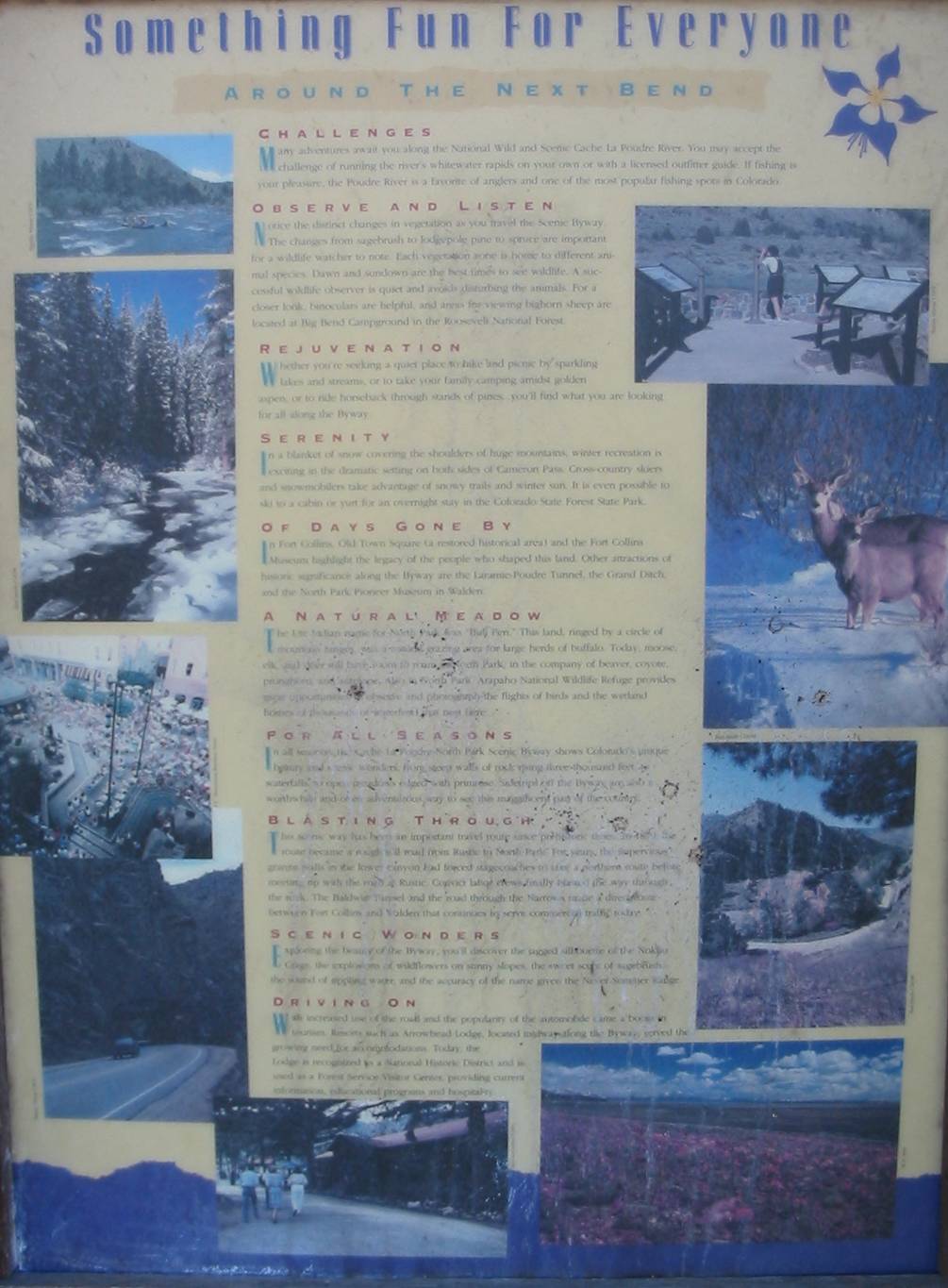
at the info signs... Larger size Ted's Place Gas, Pop, and Memories "Ted's
Place was built in a grassy field at the intersection of what was then
two dusty roads - one leading north to Wyoming and one leading West to
the Rockies."
In May of 1922 - the first day of fishing season - Ted Herring and his older brother, Cameraon, opened the filling station and general store, affectionately called "Ted's Place". The small store did a thriving business from the sale of groceries to the convicts building the first road through the Poudre Canyon. Along with gasoline and supplies for travelers, Ted also stocked tires (since a trip up the Poudre Canyon almost always resulted in one or two flat tires). Ted Herring served several terms in both the Colorado House of Representatives and Senate, and some say he used his influence to get Ted's Place on the Colorado map. Inside, the rustic atmosphere of pinewood paneling and a moss-rock fireplace hummed with the sound of the juke box and friendly conversation. During Christmas, Ted played Santa. His wife, Nellie, would cook up a feat and decorate the store with a huge Christmas tree loaded with presents. In the 1930's, when the road up the canyon was paved, the original store was moved and converted into a house. A new two-story building with an Alpine appearance took its place, but the friendly atmosphere never changed. The store remained in Ted's family until 1962. After 70 years as a landmark to the gateway of the Poudre Canyon, Ted's Place was razed in 1989. |
| Larger
size |

| Larger
size |
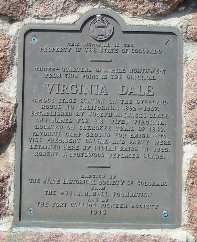
| Three-quarters of
a mile
northwest from this point is the original VIRGINIA DALE famous stage
station on the Overland Route to California, 1862-1867. Established by
Joseph A. (Jack) Slade and named for his wife, Virginia. Located on the
Cherokee Trail of 1849. Favorite camp ground for emigrants. Vice
President Colfax and Party were detained here by indian raids in 1865.
Robert J. Sportswood replace Slade. |
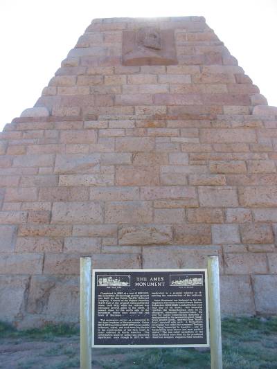
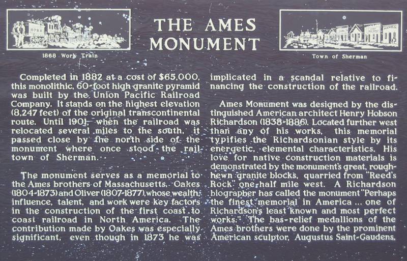
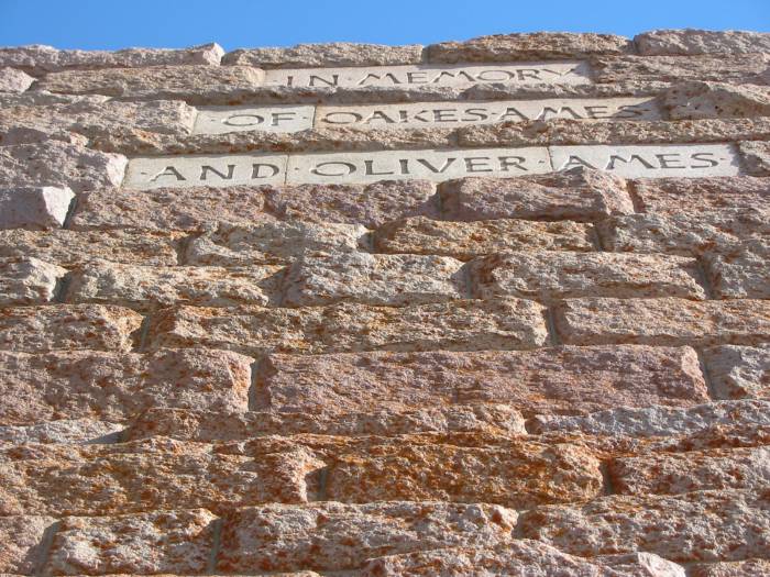
| The Ames Monument It marks the highest elevation (8247 feet) of the original Transcontinental Railroad route. |
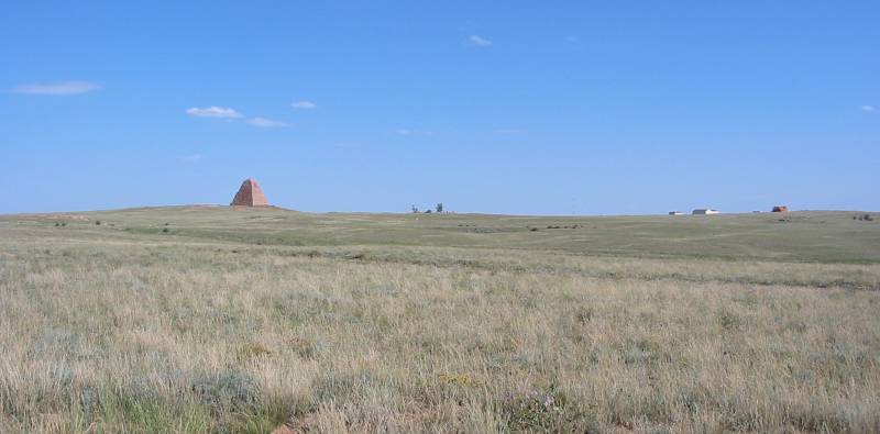
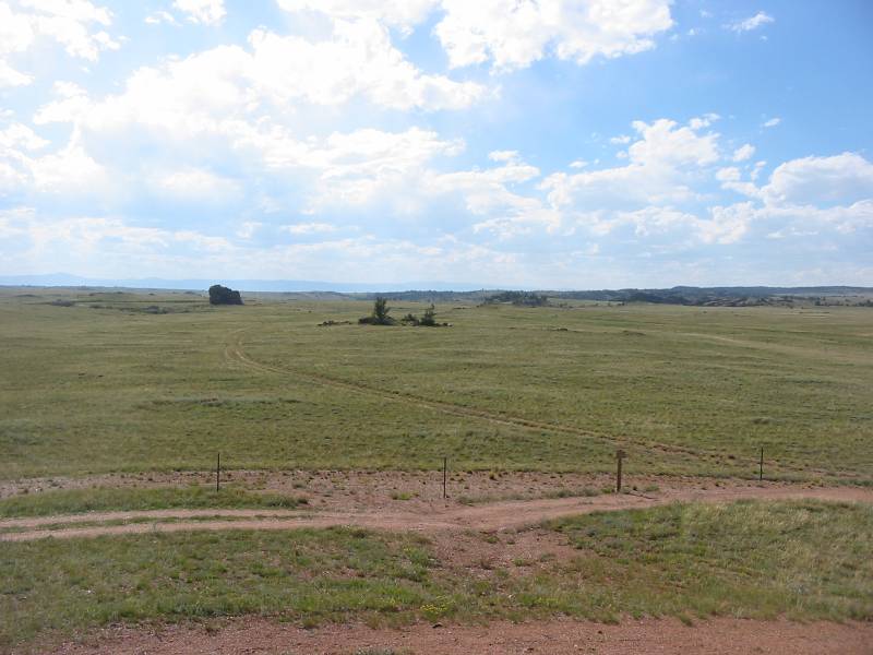
| Looking west from the monument. |
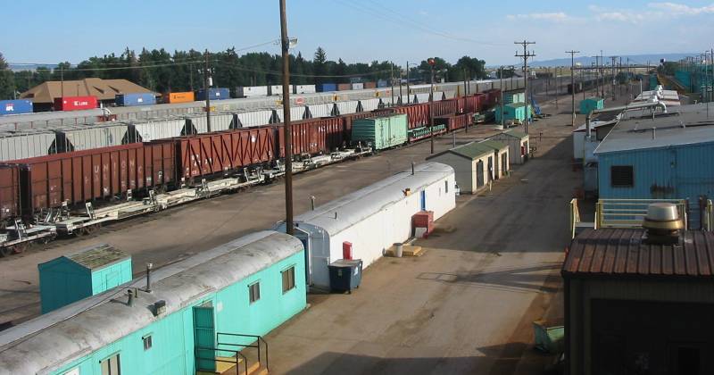
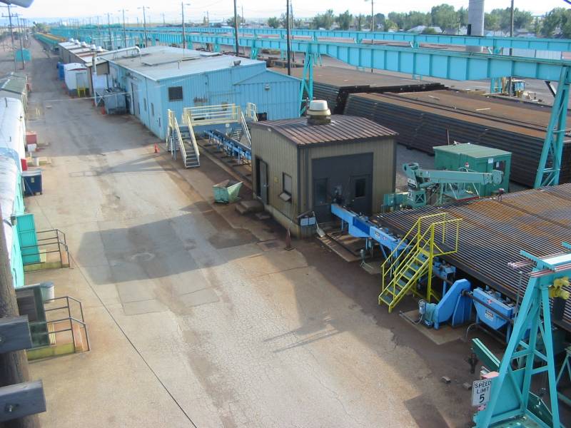
| We're now in Laramie WY. There's a decent railroad yard here for the Union Pacific Railroad. |
| Scale and scale house. |
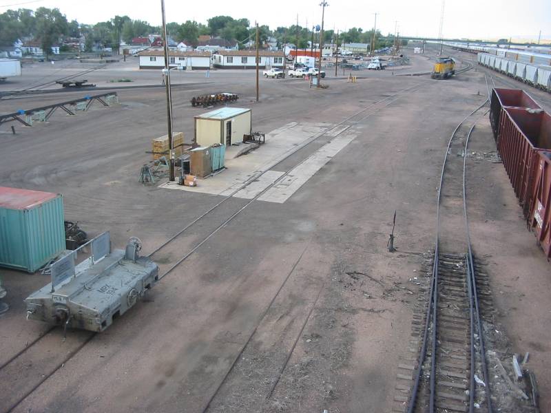
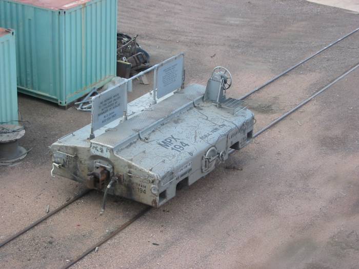
| I'm thinking this is the "known weight" tester for the scale. |
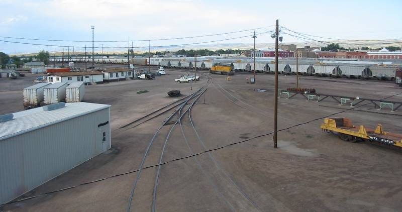
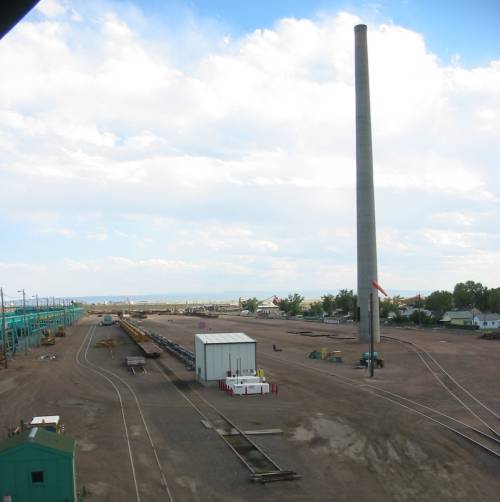
| I'm guessing there was a building of some sort near the smokestack years earlier. |
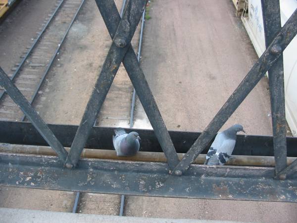
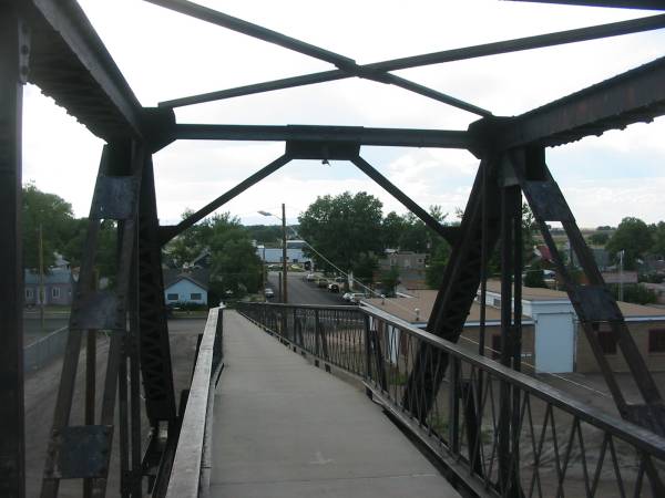
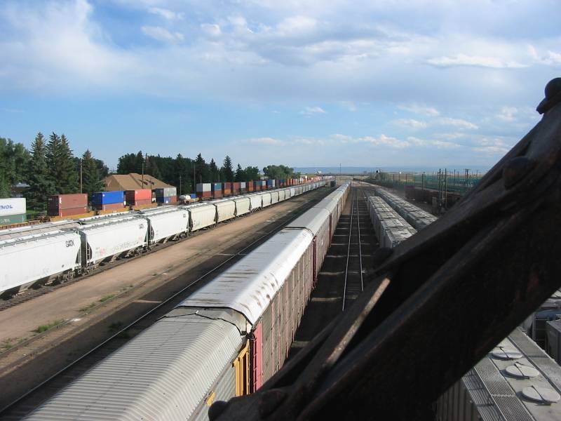
| The pedestrian walkway crossing above the rail yard. |
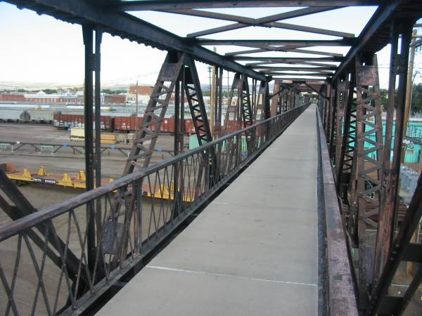
| At the far side of the yard is the main line. The colorful stack train is rolling through en-route for places east. |
| Ribbon Rail manufacturing
What is ribbon rail? It is a length of rail, about a thousand feet
long, that is created from shorter lengths that are welded together. Below are the original, shorter lengths.
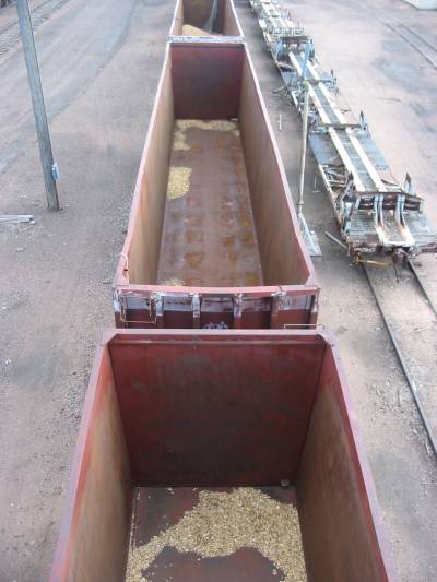
The classic clickity-clack sound is disappearing. That noise happens where the rail car wheels travel over a joint between two segments of bolted together rail. With longer sections of solid rail the joints are fewer. Adding to that, when rail is installed, joints are often welded together instead of bolted together - no more clickity-clack. Lengths of rail are brought in and unloaded from the low, yellow supply cars (right). The rails at the bottom of the photo are on a feed "table". This supply will feed to the left and pass through a series of buildings as sections are welded together to achieve the 1000 foot ribbon length. |
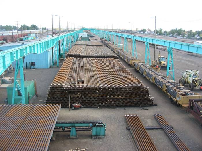
| The "short sections" of rail travel to the left on this supply table. Af the far left side a single rail is then fed into the series of buildings. The rail sections are welded together and possibly heat treated. Out the other end the long section of ribbon rail is then stocked and ready to be installed. |
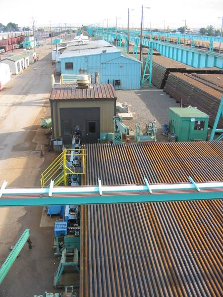
| Three different buildings. Not sure what happens in the first one as it's fairly small. The last building has a bunch of roof vents - I wonder if the rail undergoes some heat treating. |
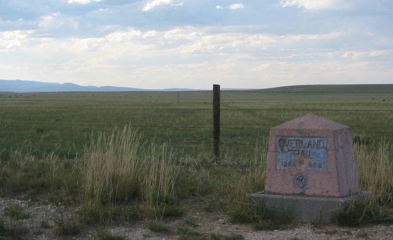
| Roadside marker for the Overland
Trail (1862-1868). This spot is on Wyoming 130 is about ten miles west of Laramie. |
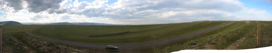
| Panorama Larger size |
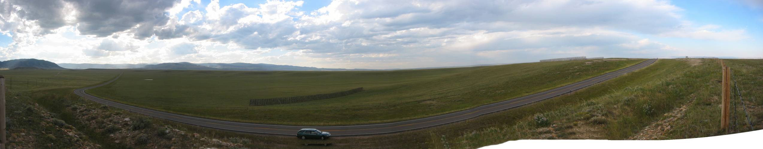
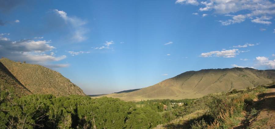
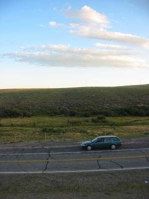
| A few miles west of the Overland Trail crossing we're now heading south on country road 424. |
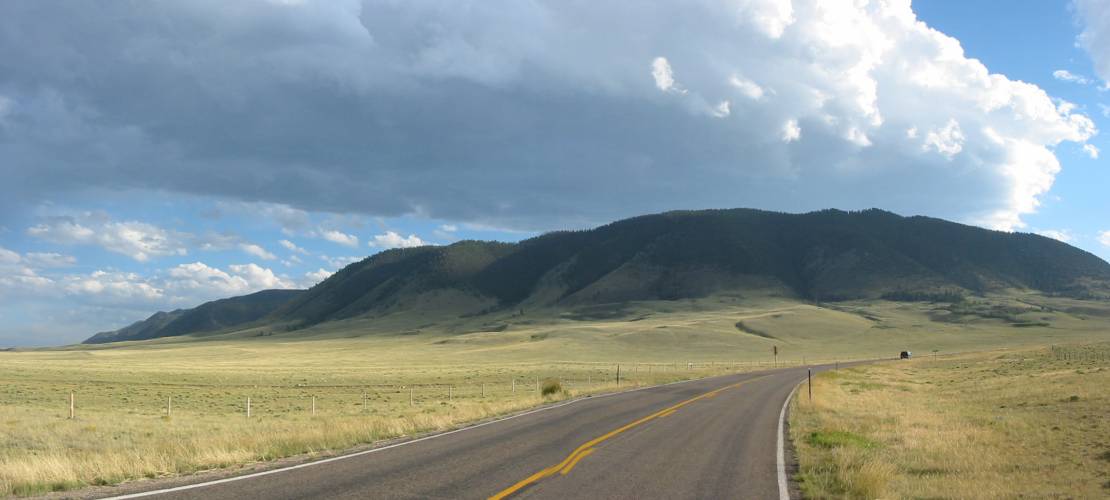
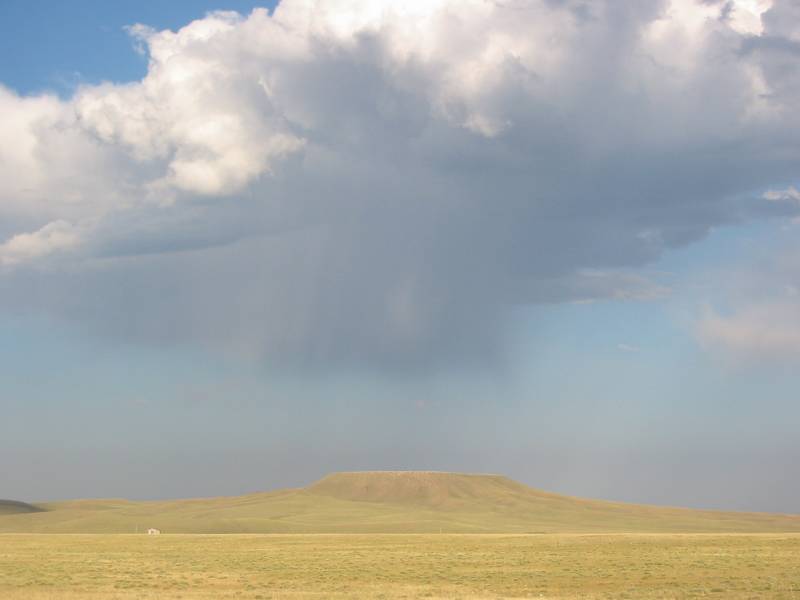
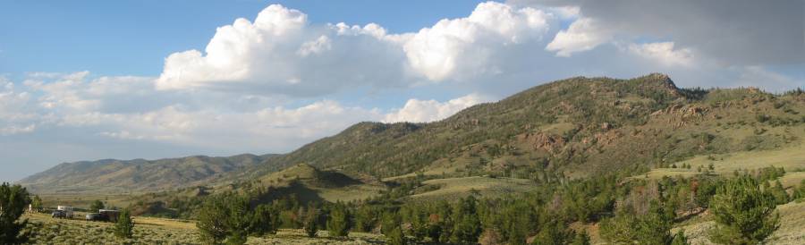
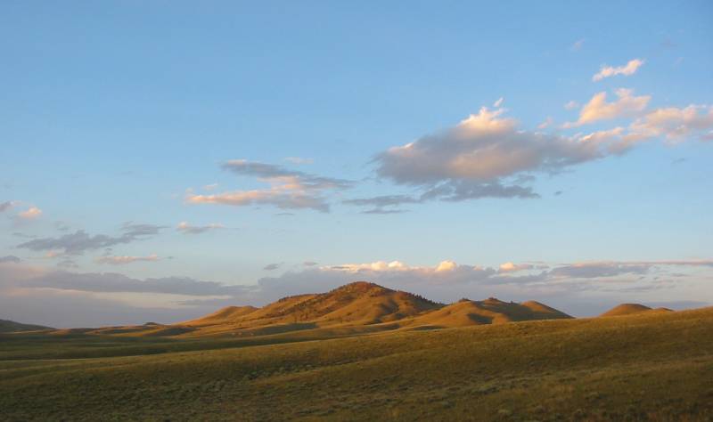
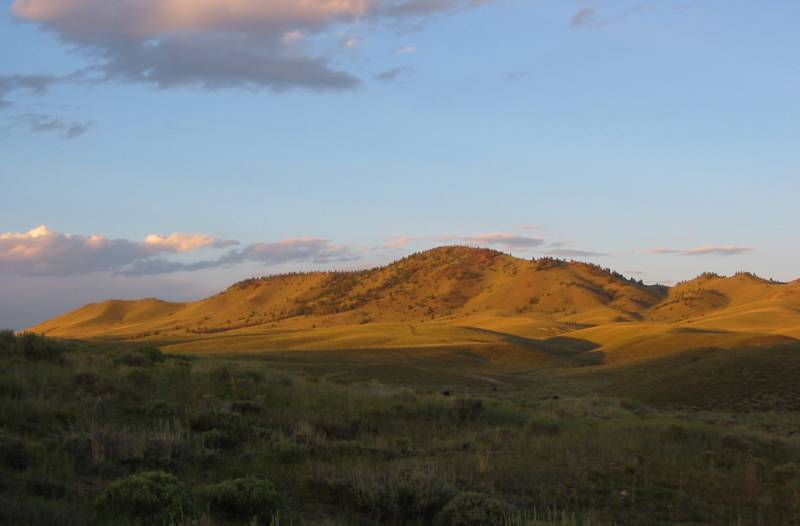
| Table Mountain and a lone home on the range |
| Panorama Larger size |
| Panorama Larger size |
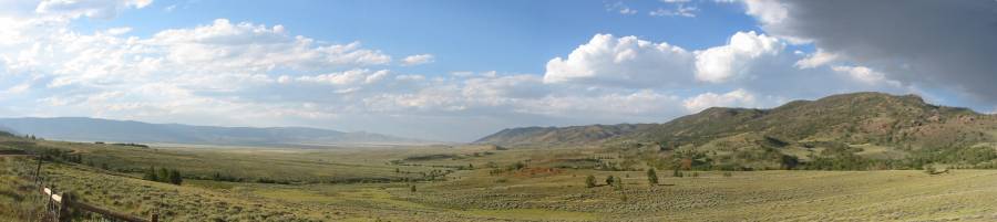
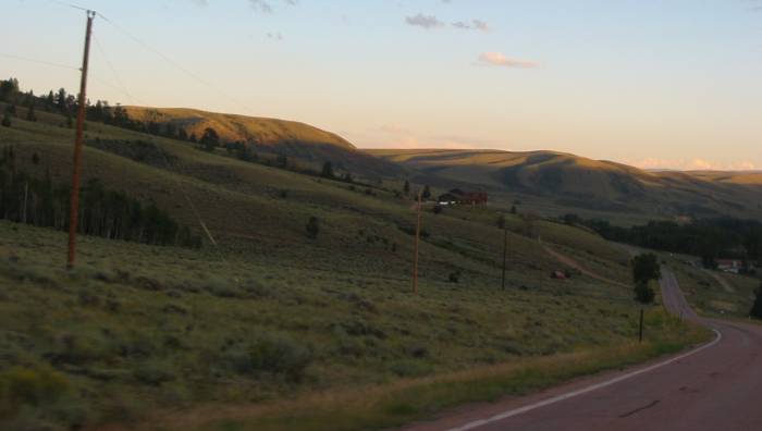
| Heading south on county road 47 approaching WY 230 at Jelm P O. |
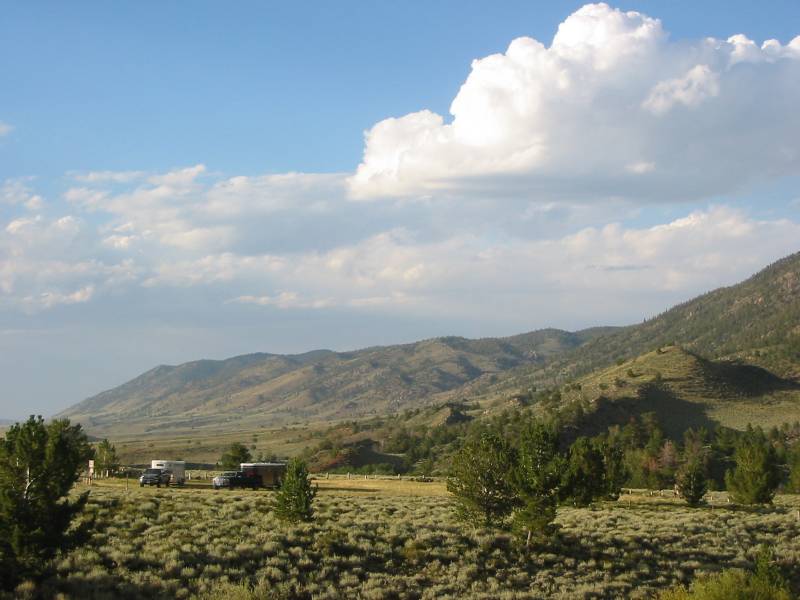
| I've stopped for dinner at Woods Landing and the sun is now much lower in the sky. The day will finish after dark. For now we're rolling south on WY 10 between Woods Landing and Jelm. |
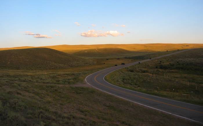
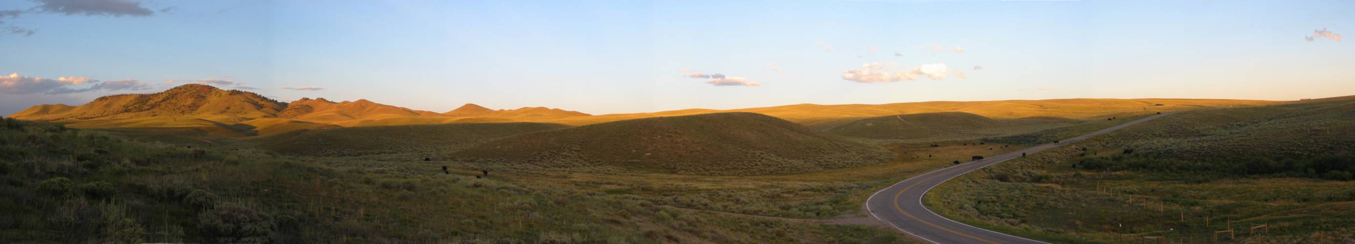
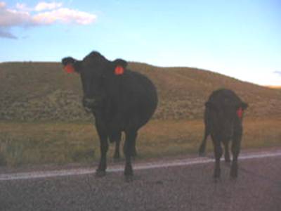
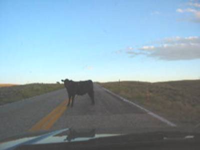
| WIDE open range (the black dots are cattle on the roadway) |
| Panorama Larger size |

| Video Open range roadway cattle roadway-cattle.wmv WMV, 2.5 MB, 19 sec |
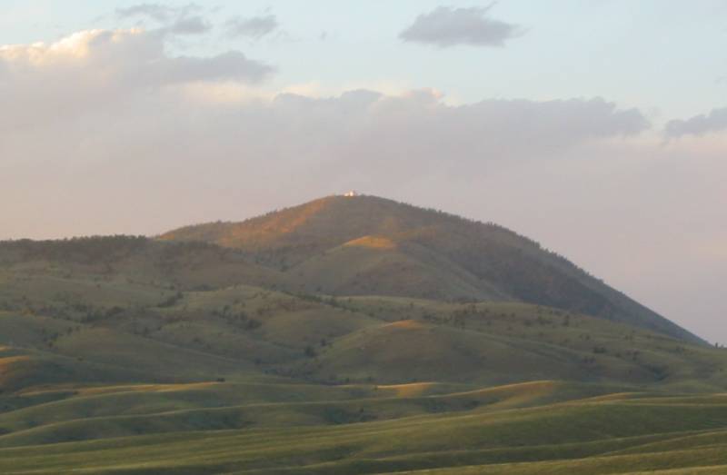
| This is the first time I've seen this structure (but have since found out more about it). It was shining in the late day light and caught my eye. I was thinking - that must be some house with a view! No so, it's the Jelm Mountain Observatory operated by the University of Wyoming. On August 26 I made a visit up there on the motorcycle - photos here. |
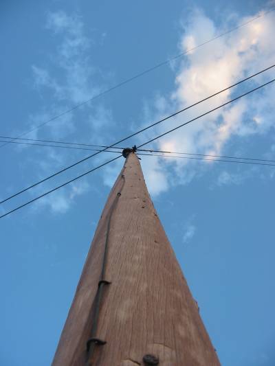
| An old power pole with two small cables is crossed by some cross country power lines. |
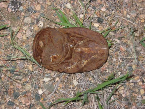
| Roadside fodder. When's the last time you saw a STEEL can that had vampire / can opener cuts in the top? |
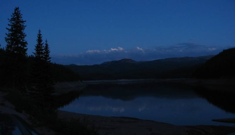
| Last shot of the day. Chambers Lake near the intersection of Colorado county road 103 and state route 14. |