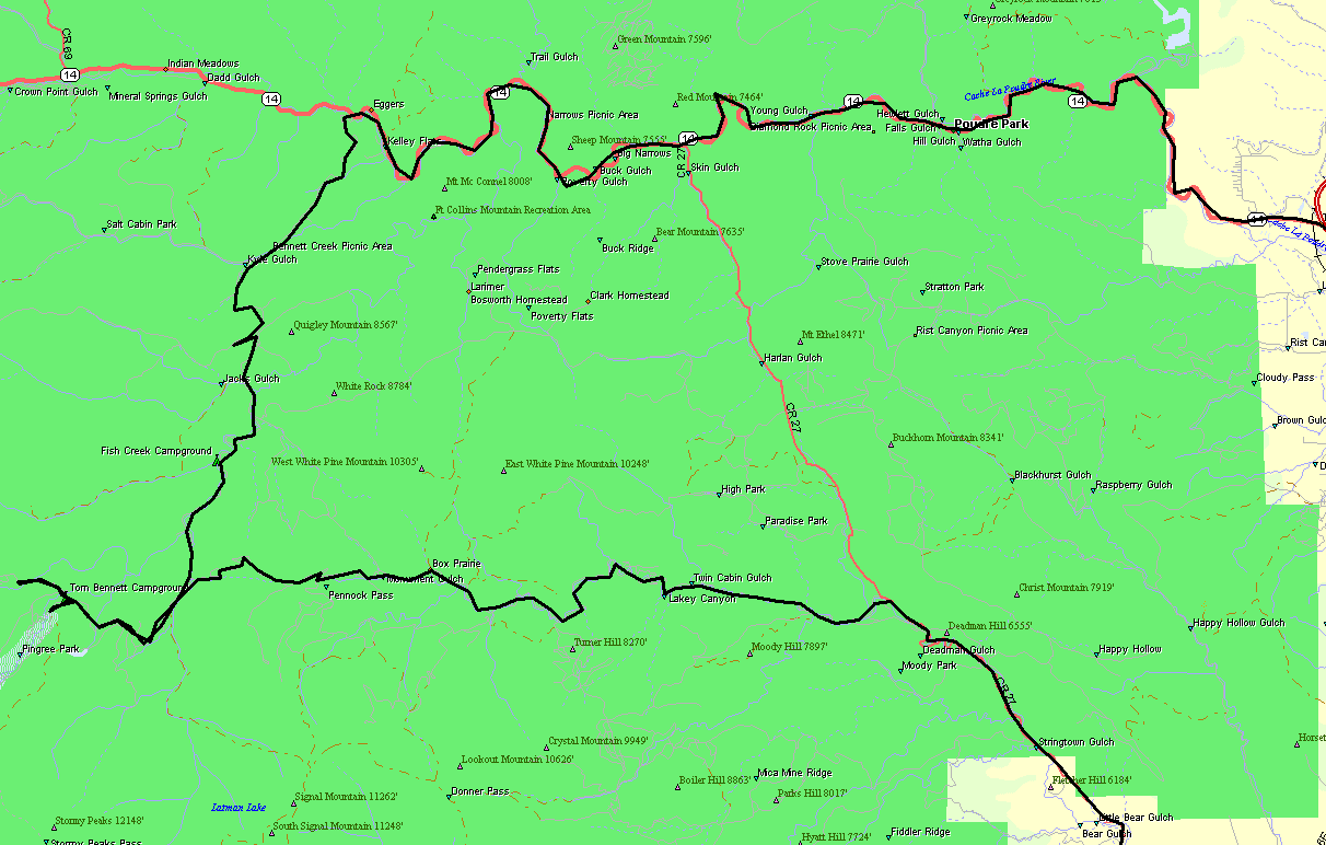
Check out some dirt roads
County Road 44H & 63E
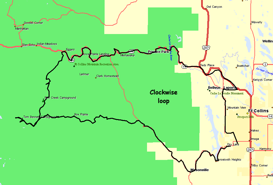
Larger Map
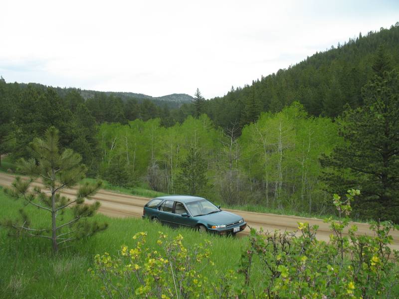
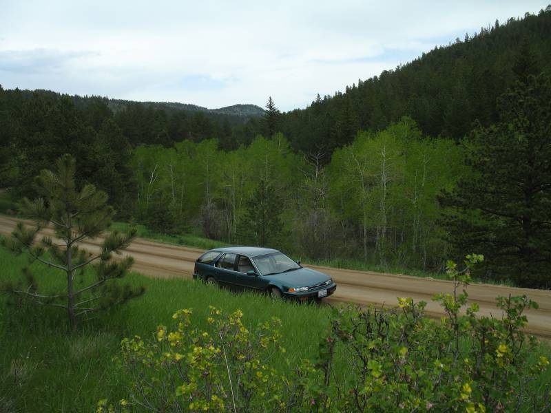
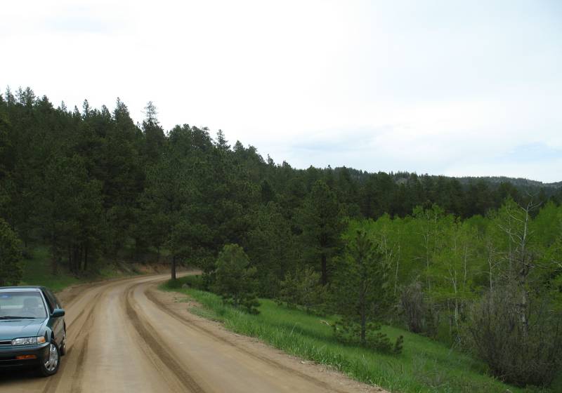
| County Road 44h |
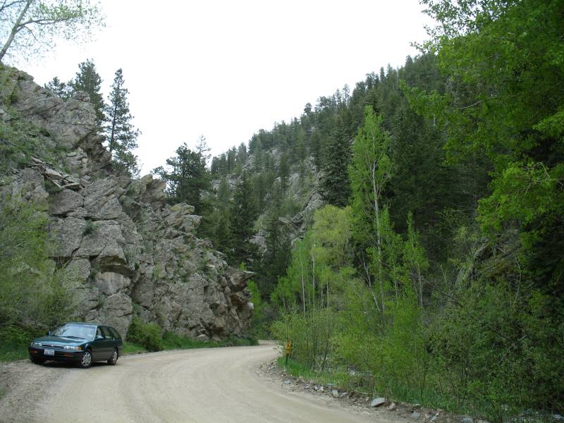
| This photo was a straight point
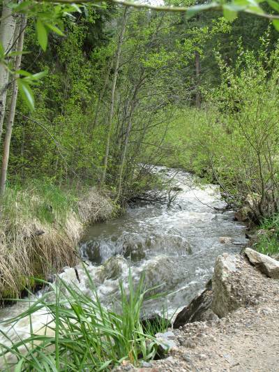
and click. The one below was a point towards the high horizon
/ sky, 1/2 click to set the camera, then move down and finish the shot. By pointing towards the lighter sky the camera would "darken" the photo allowing better cloud / sky detail while ground detail would again be darker. I like the ground detail of the upper photo and the sky detail of the lower photo. |
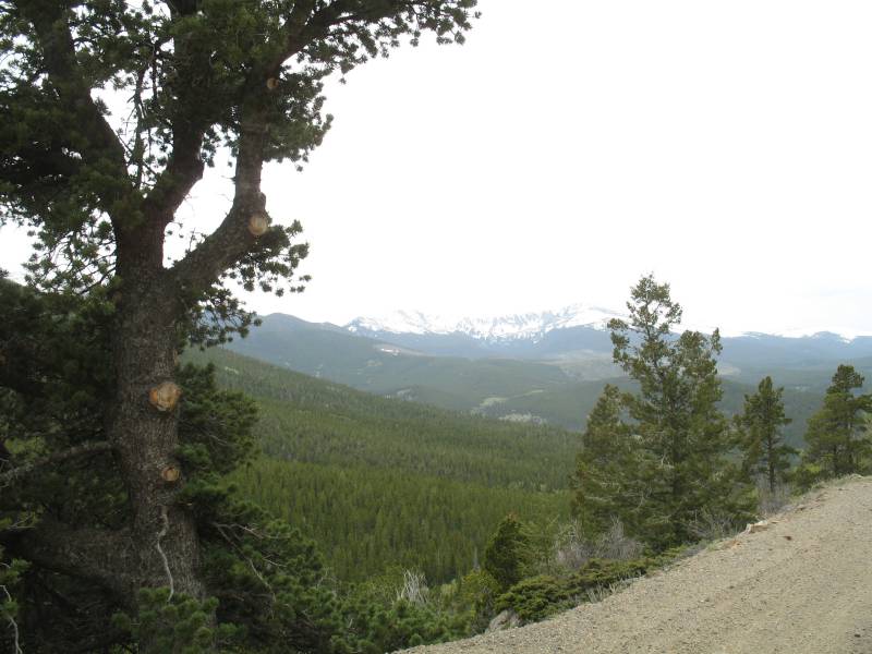
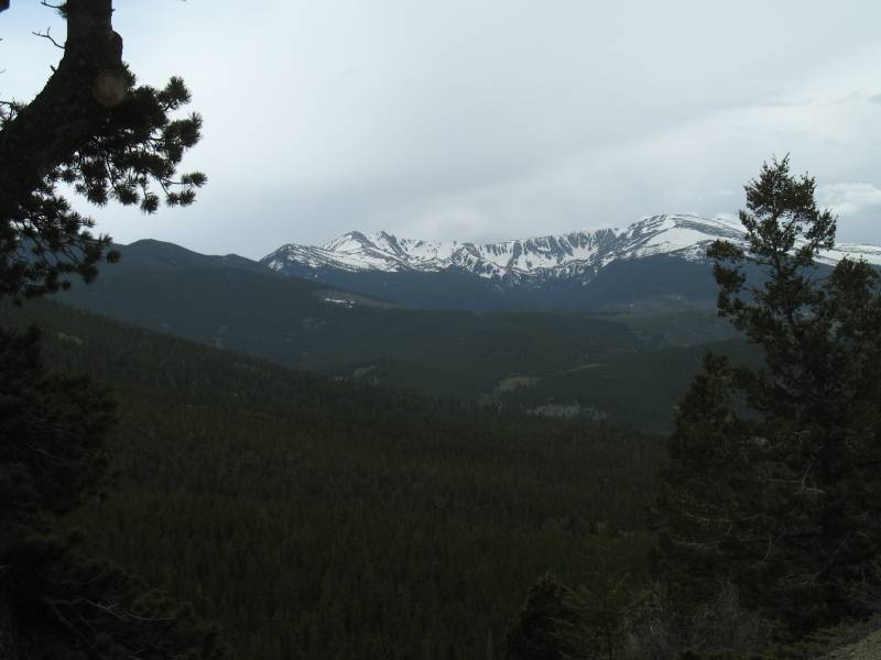
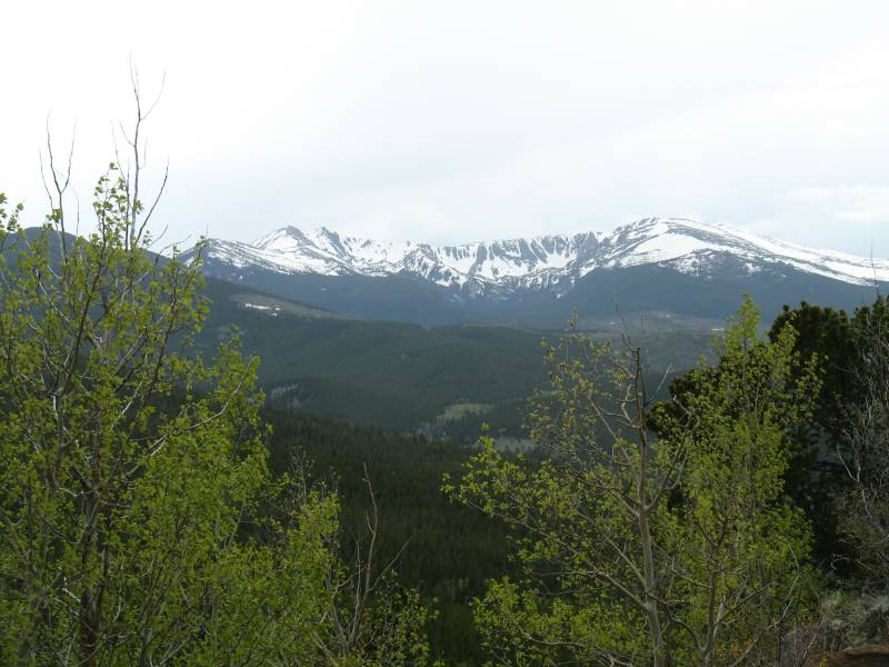
| Not positive of the respective peaks but from left to right it might go like this: Ramsey Peak (11,582'), Skull Point (12,056'), Fall Mountain (12,258'), Comanche Peak (12,702') Standing in the Roosevelt National Forest, looking South across the Commanche Peak Wilderness. The back side of those mountains is Rocky Mountain National Park. |
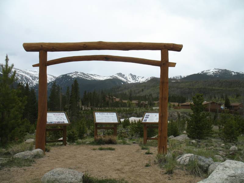
| IIRC this is one of Colorado
State Universities field campuses. Years back a fire rolled through the area and took out the trees and buildings. |
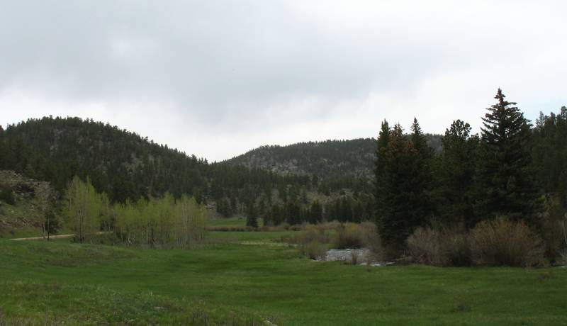
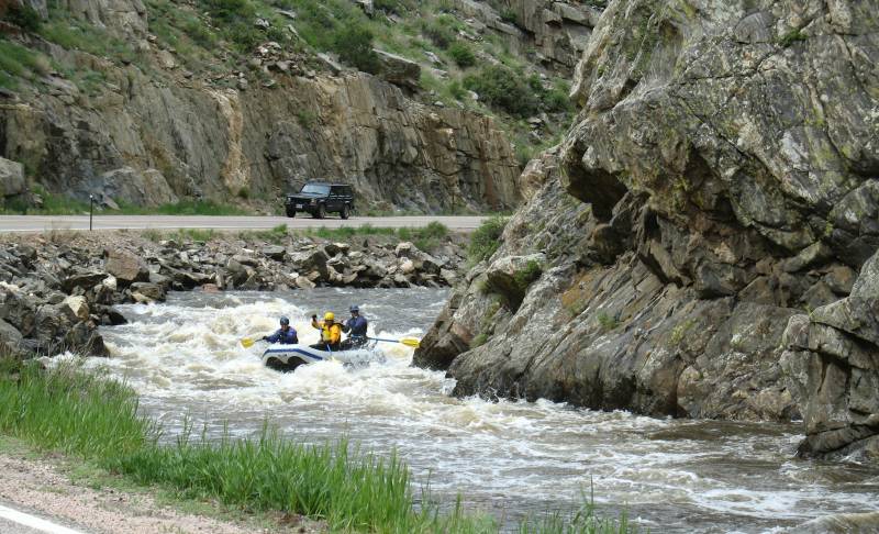
| Back at Colorado Route 14 and the Cache La Poudre River. |
Total Time: 4h 16m
Overall Average 24.3 mph
Moving Time: 3h 35m
Moving Average: 29.1 mph
Trip Odometer: 104 mi