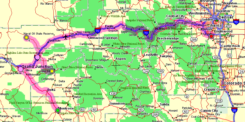
Montrose to Denver
Grand Mesa & Roan Creek Road out of DeBeque
| Order for the day - Stop
by the Chamer of Commerce of Montrose and pick up some relocation
information. Then up to Grand Junction to see about Mass (Ash
Wednesday). From there it's over to Denver with family. The first two
tasks accomplished I was presented with arriving near Denver during
rush hour. Having a couple options that would delay my Denver arrival I decided to make good use of them. The first, yellow dot #2 on the map, was a side trip up to the Grand Mesa. This would add 60 miles (30 up, 30 down) and about and hour and a half. The second, yellow dot #4, would be a trip up Roan Creek Road at DeBeque. Some friends purchased a home up there and if I had time I figured I'd jump up to see where it is. |
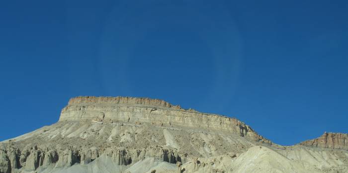
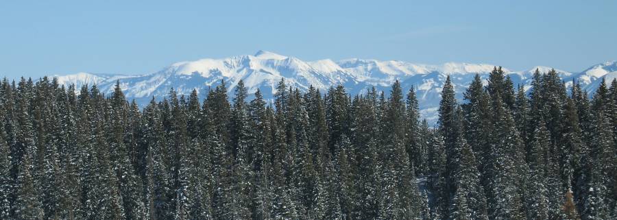
Looking at part of the Grand Mesa
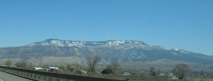
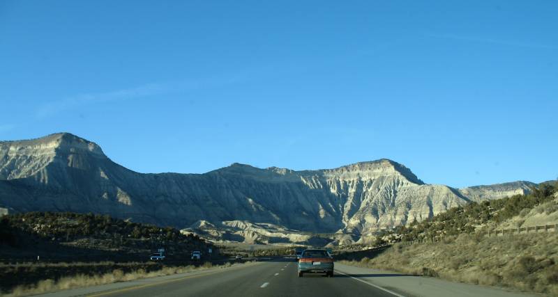
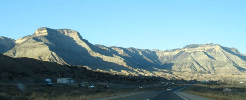
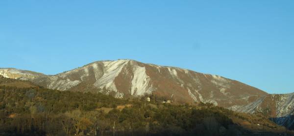
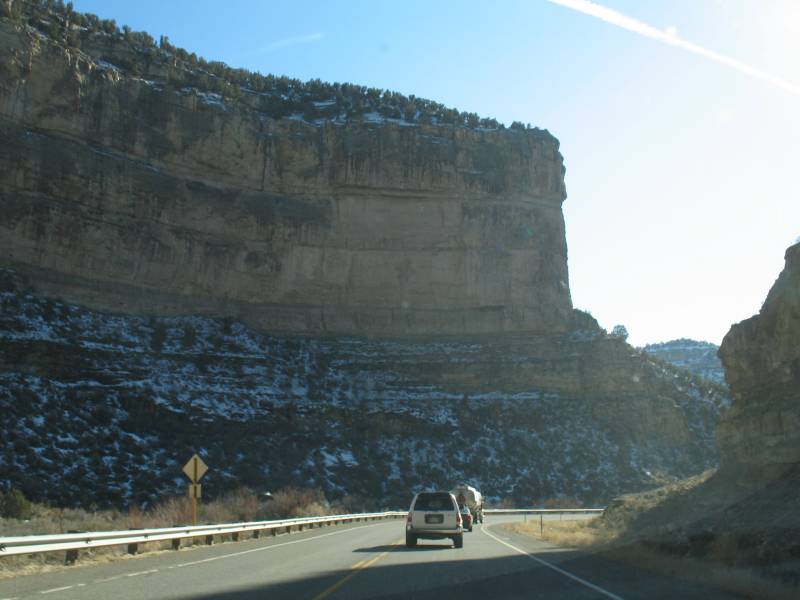
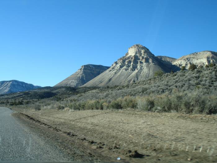
I-70 East out of Grand Junction
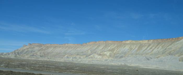
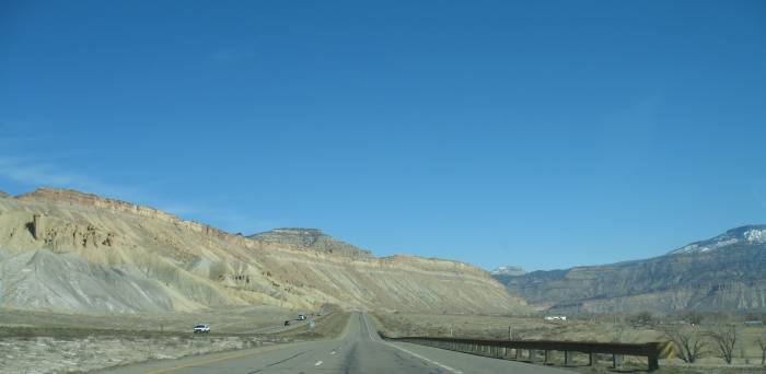
(note - there is NO snow anywhere around)
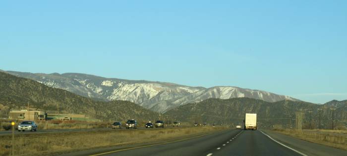
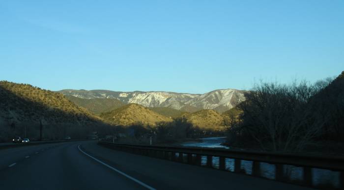
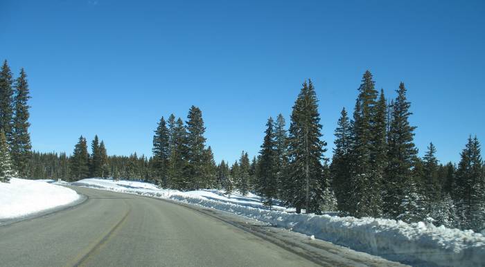
20 minutes later... Snow is starting to present itself.
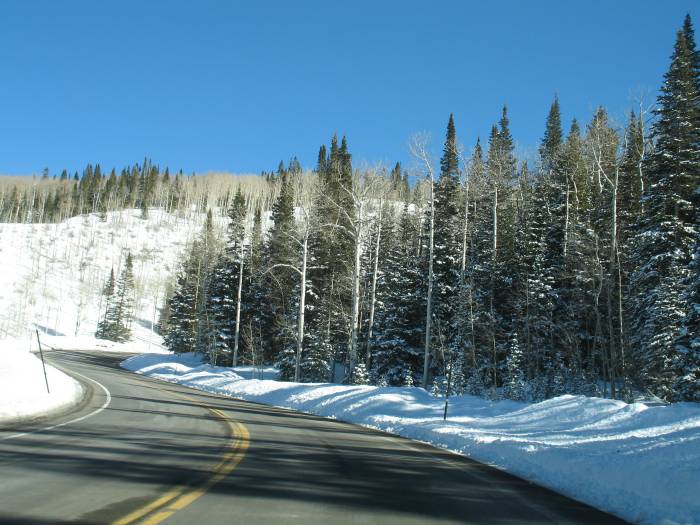
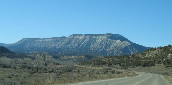
Heading up to the Grand Mesa
Powderhorn Ski area on the side of the mesa
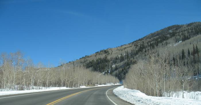
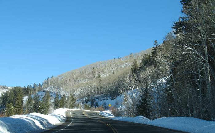
It didn't take long to move from an area of NO snow to 'getting deep' snow.
In less than 30 miles of road travel we'll go UP over one mile.
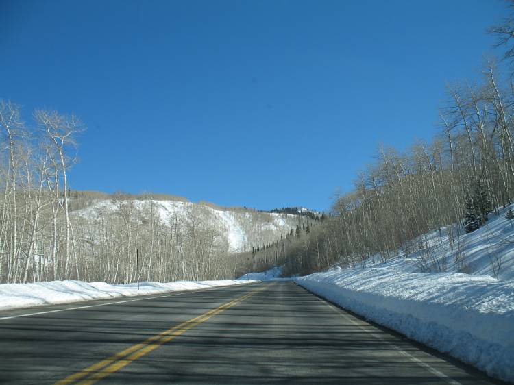
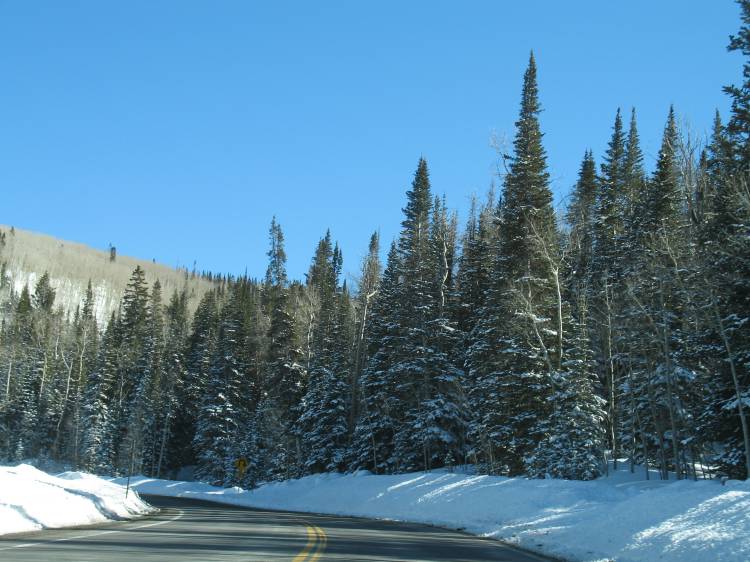
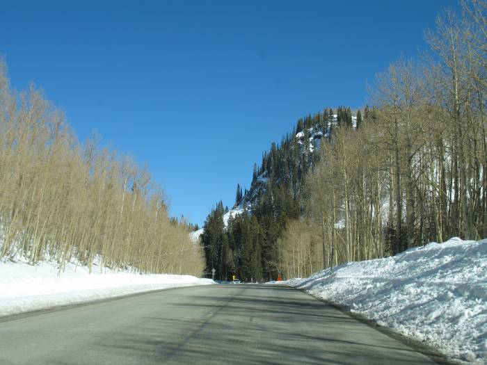
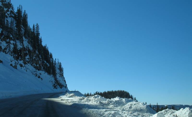
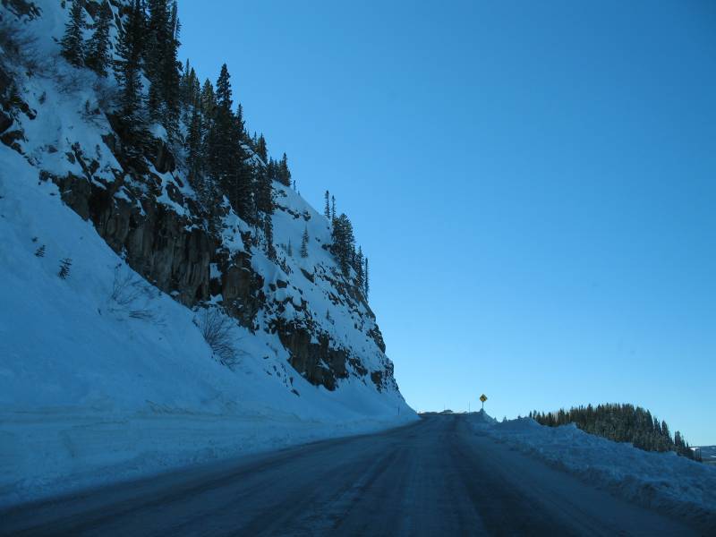
Now we're on top.
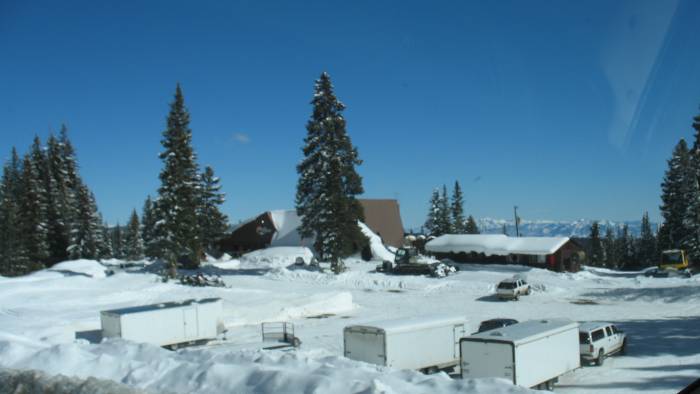
Grand Mesa Lodge?. Several snowmobile trailers and a couple snow-cats.
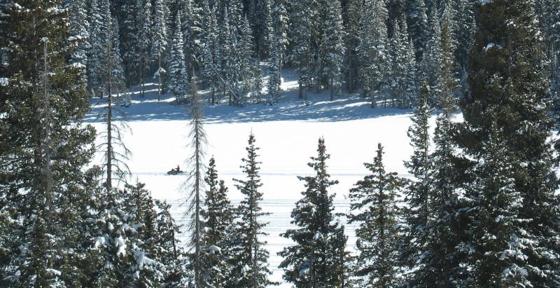
One sledder out on Island Lake.
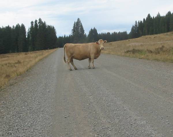
In the summertime, cattle are moved up to the mesa for grazing (love this shot from 2003).
They couldn't survive in the deep snows of winter so they're hauled back down.
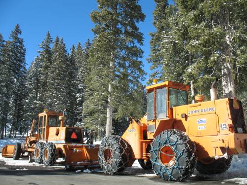
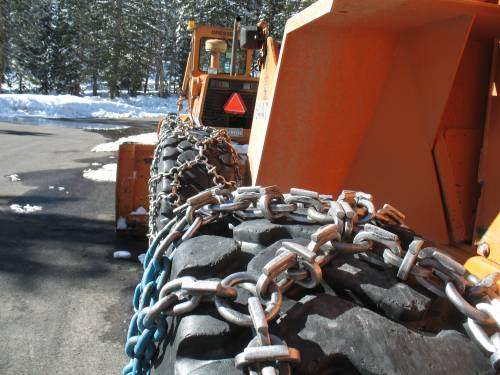
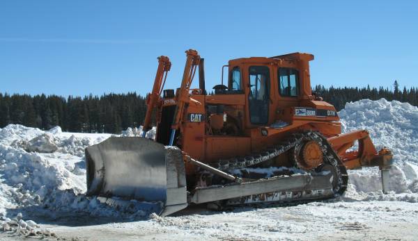
Serious road clearing, snow moving machines.
The Visitor's Center
Out at the edge, overlooking Grand Junction, are a set of radio towers.
My guess is that Cingular is at work and not here to play.
A snowmobile or two was on the trailer and since the road to the towers isn't plowed in the winter the way to get to the tower is via sled.
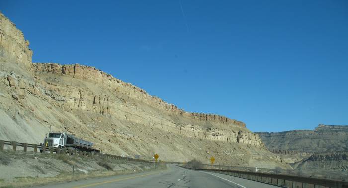
Back down near I-70

At the highest elevation I recorded, 10,900 feet, I took a photograph of the GPS screen.
At each 1000 foot mark below there I took another photo.
Here's some data of the trek
| Altitude | Time of Day | Odometer | Feet / Min Change | Feet / Mile Change |
| 109000 | 2:40p | 1714 | ||
| 9984 | 2:48p | 1720 | 115 | 153 |
| 8937 | 2:53p | 1723 | 209 | 349 |
| 7931 | 2:57p | 1726 | 252 | 335 |
| 6944 | 3:00p | 1729 | 329 | 329 |
| 5961 | 3:04p | 1732 | 246 | 328 |
| 4975 | 3:15p | 1741 | 90 | 110 |
| 4865 | 3:20p | 1744 | 22 | 37 |
| Total Minutes | 40 |
| Total Miles | 30 |
| Total Elevation Change | 6035 |
| Average Feet of Decent per Mile | 201 |
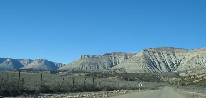
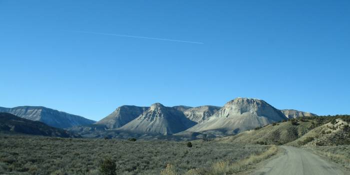
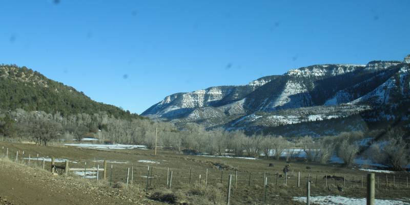
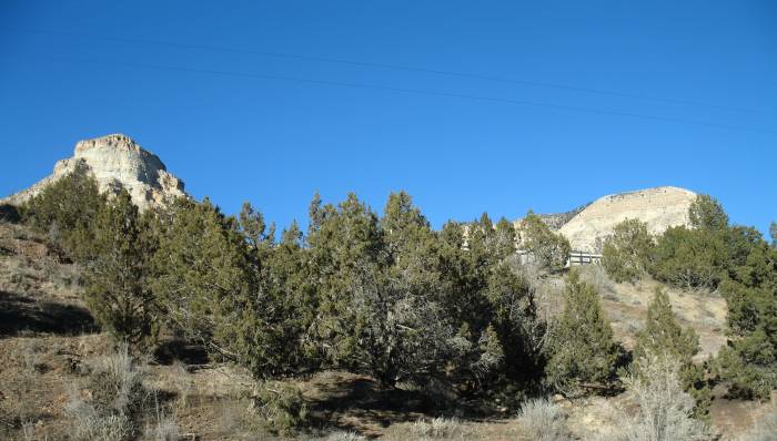
From the Grand Mesa I jumped back onto I-70 and headed east to the small town of DeBeque.
Some friends purchased a home "up the road" from town. I figured I'd find it just by past photos they've shared.
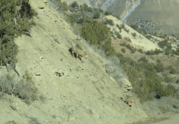
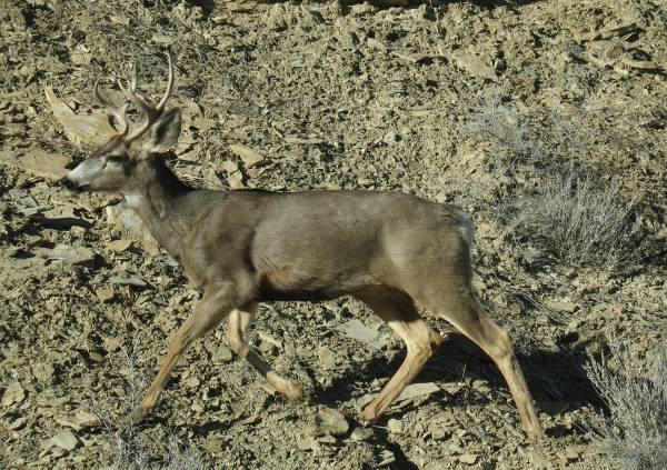
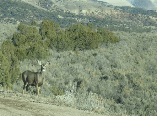
The driveway and mule? deer.
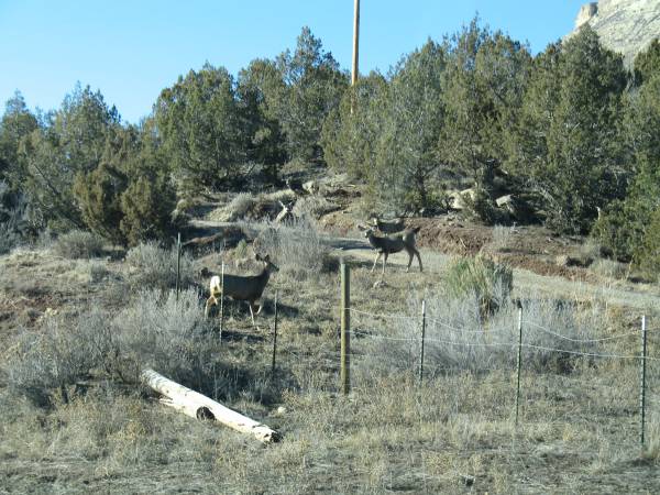
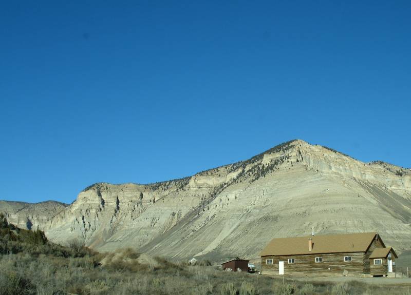
There it is (no use in knocking - they're in Illinois right now)
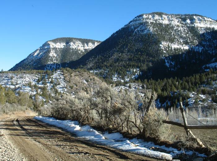
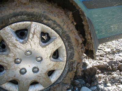
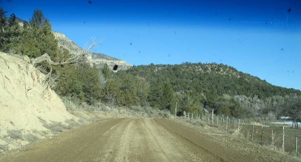
I kept riding farther up the road. It turned to a dirt road but I kept pressing on (not more than 18 hours ago I washed the car).
Eventually I came to an uphill area that was wet and rutted (ruts deep enough to bottom out the car - would not be fun to get stuck).
I processed through the first set of ruts with gentle control inputs and decided it was time to turn around as another set of ruts was just ahead.
The ruts don't look bad in the photo - nor does the road look like it has much of a decline in it.
Just a bit o mud flying about.
Video
Roan Creek Road
rcr-mud.wmv
WMV, 5.2 MB, 1 min, 21 sec
Some mud specs on the windshield.
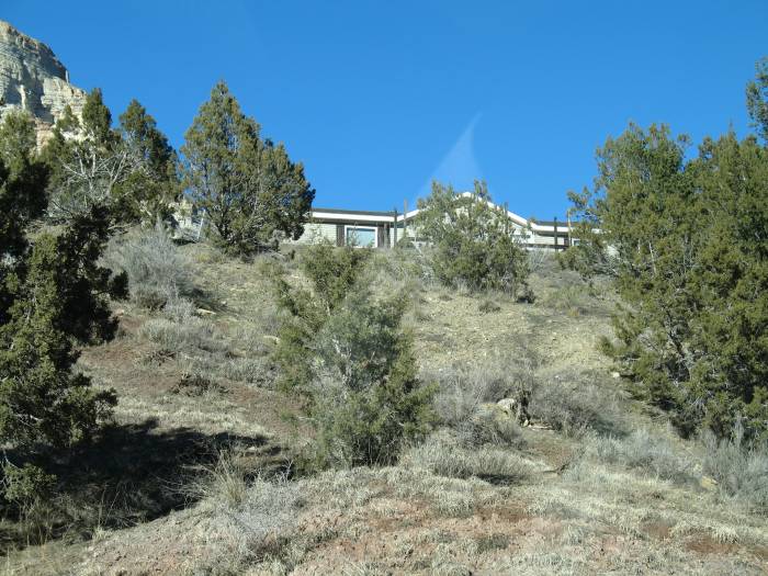
So, with a bit of house peeking out of the trees you can get an idea of what's "out back" of the house.
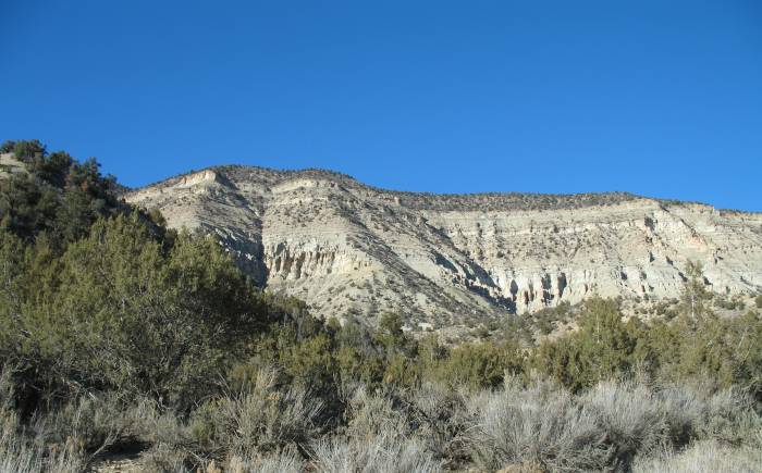
Turning about - this is what's to see out the front windows. Kinda nice.
Back down the road a piece...
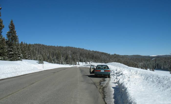
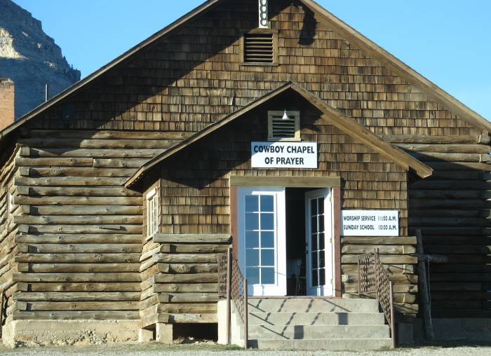
Door's Always Open!
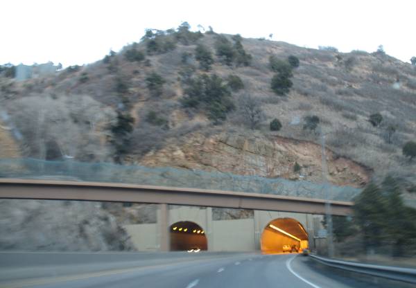
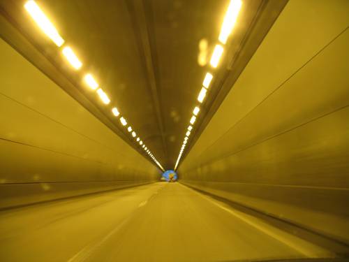
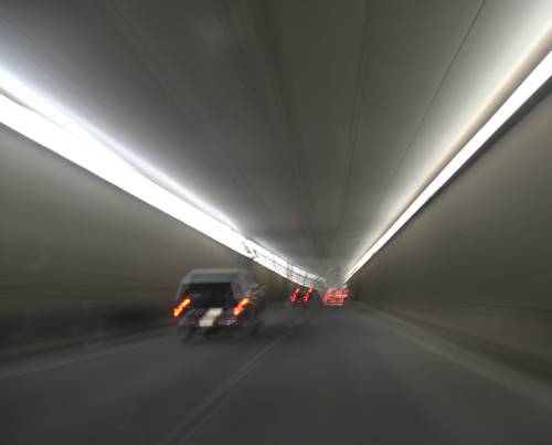
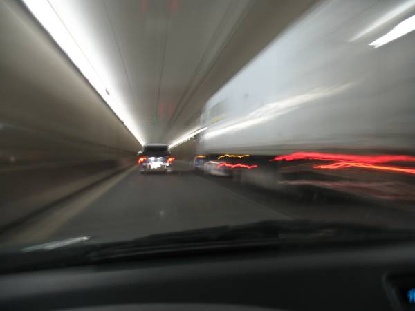
I-70 making the jump over to Denver. I'll arrive after rush hour.
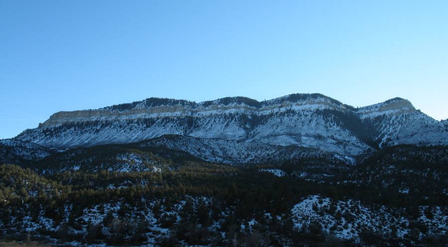
A bit unfortunate - I'll also be driving after dark (and missing some of the grand scenery)