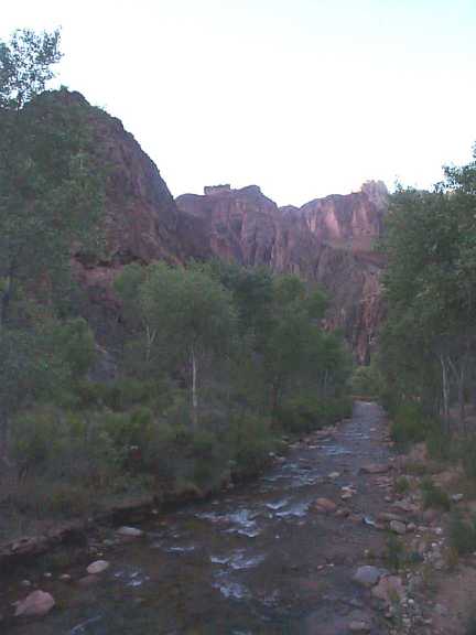
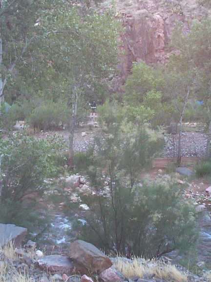
View looking down the stream we hiked along the first two days. This was in the campground area.
Looking across the stream at the two camp sites
(blue tent on the right and a person in black straight across).
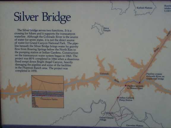
Silver Bridge - one of two main bridges - also carries the TransCanyon
water line.
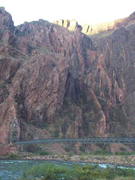
Looking South across the Colorado River. Silver Bridge.
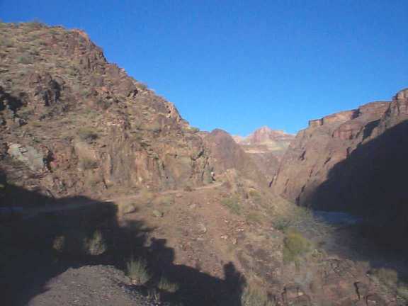
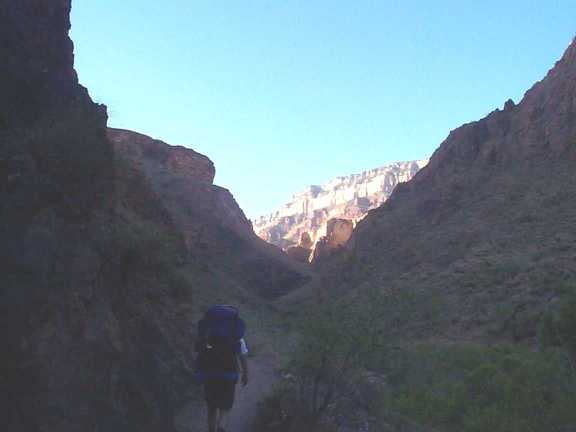
For a short while we hiked along the Colorado before heading up into
a canyon.
Heading up into one of the first canyons. The cool shade was
appreciated.
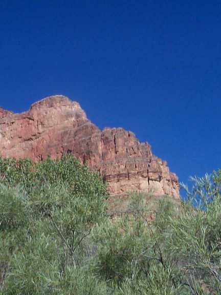
A small stream kept lush vegetation alive.
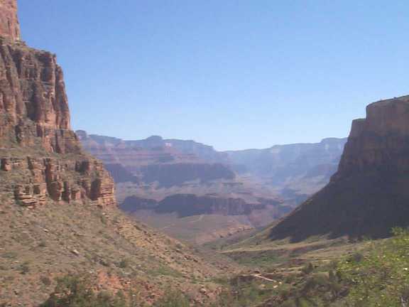
On top of the first plateau. Looking back / North up into the
canyons we came from.
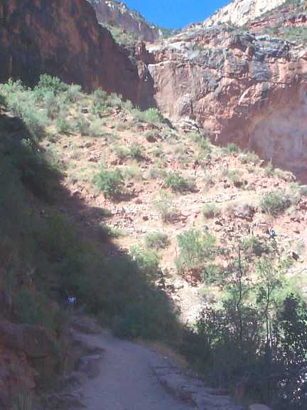
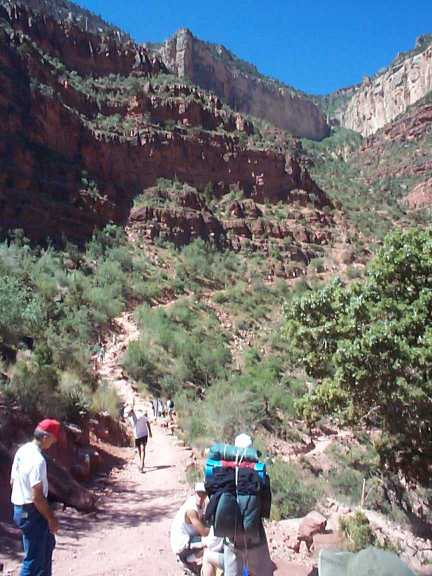
One of a few switch backs to hike up. In the sunny area you
can see the rock zig-zag's of the trail.
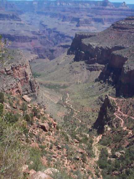
Mile 3 water house. Still a ways up to the rim.
Looking back down on Mile 3 water house (right edge of the picture
near where the trail goes out to the point)
FINISHED. We are now at rim level. 23.9 miles and about
1 mile in elevation change.
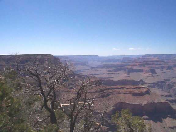
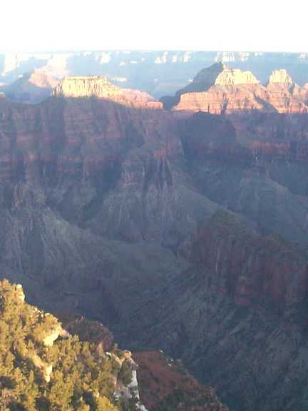
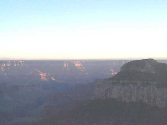
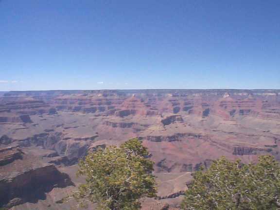
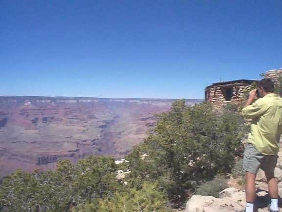
Views of The Canyon - South Rim looking North.
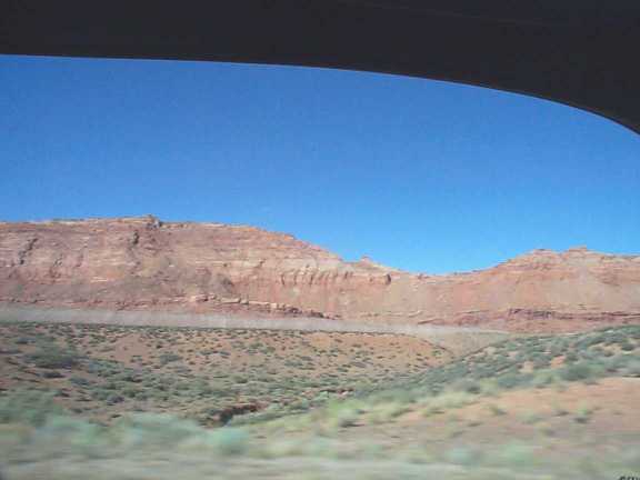
On the drive from the South Rim back to the cars at the North Rim
(Hwy 89 in AZ).
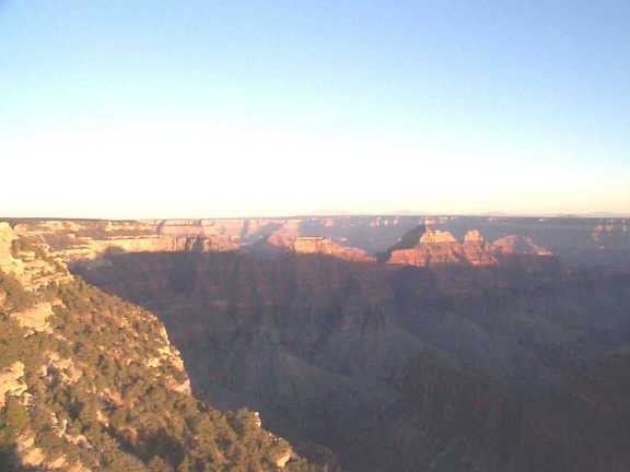
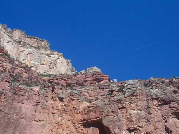
Afternoon shadows at the North Rim lodge. The base of these
two canyons is where Cottonwood campground is. From the campground
we could see a light, way up on the ridge, from the lodge.