Tom & Greg @ Deadhorse Point State Park (Utah 313 - West of Moab, UT)
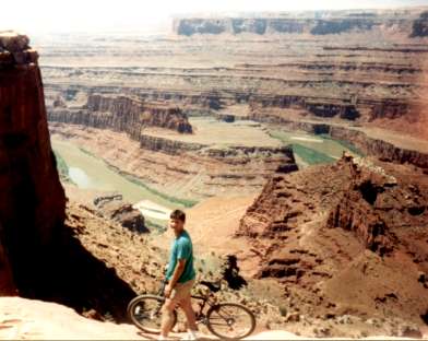
Jim @ Deadhorse Point S.P., Colorado River
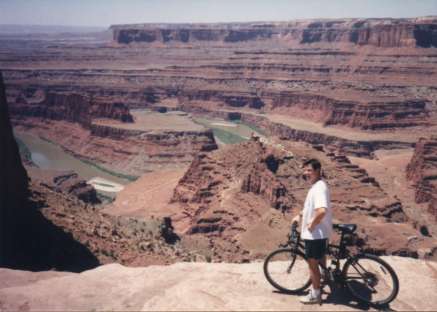
Tom
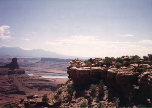
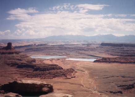
Deadhorse Point S.P., two water bodies are evaporation ponds, Colorado river just behind them
Tom under an Arch at Arches National Monument - Near Moab UT (UT 191)
Greg
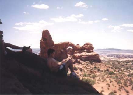
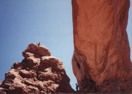
Jim & Greg on side of arch rock
Other arches
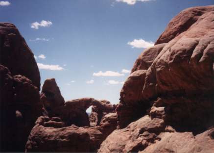
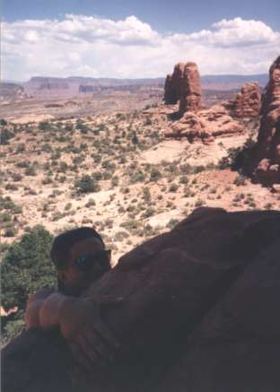
Greg (top) & Jim @ arches. Tom taking picture from under an arch (visible on right).
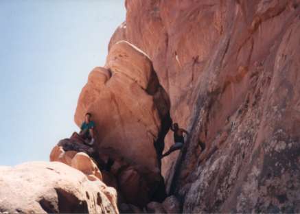
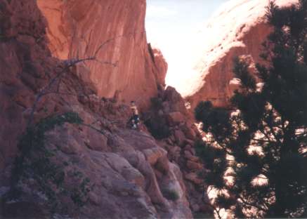
Tom on rocks @ Arches
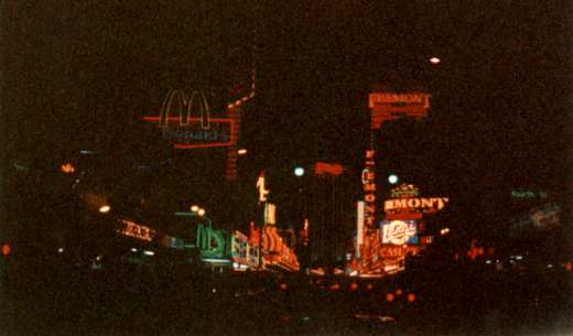
Las Vegas NV
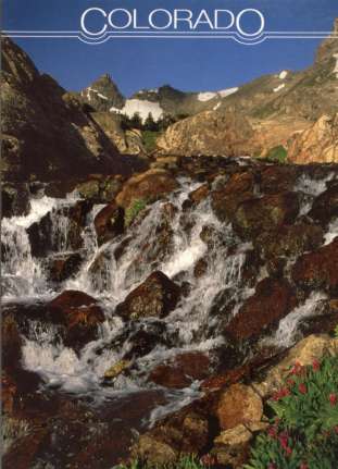
Colorado. Glacier-fed waters of the South Saint Vrain Creek in the Indian Peeks Wilderness Area.
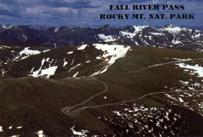
R.M.N.P. Fall River Pass Store & Alpine Visitors Center. The store and visitors center are at an elevation of 11,797ft.
R.M.N.P. Nymph Lake in the Glacier Basin area, with Longs Peak and Glacier Gorge in the background.
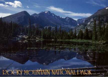
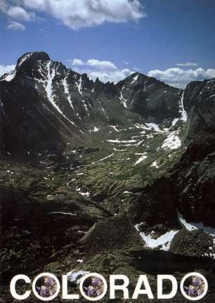
Colorado. The rugged heights of Longs Peak, the highest mountian in Northern Colorado, at 14,255ft elevation.
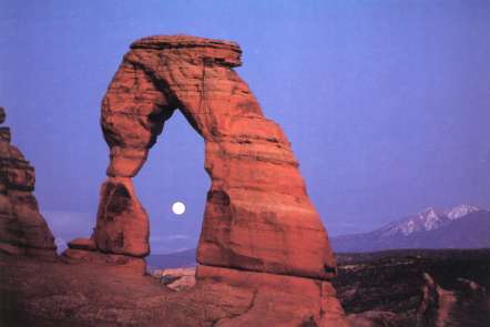
Delicate Arch - Arches National Park, Utah. Delicate Arch is all that remains of a thin sandstone wall called a "fin". Erosion caused the collapse of surrounding walls leaving the free-standing arch, which measures 32 feet wide and 46 feet high.
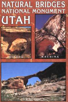
Natural Bridges National Mounument. Proclaines a national monument in 1908, Natural Bridges was the first national monument in the state of Utah. Top Right; Kachina-"masked dancer", the youngest bridge, received its name from prehistoric pictographs found near it. Bottom; Owachomo-"rock mounds", is the oldest bridge, about 10 million years old. Top Left; Sipapu-"the place of emergence', is larger than the other bridges in the Monument.
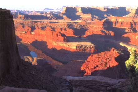
Dead Horse Point S.P. Utah. Sunrise at Dead Horse Point.
This site is located near Moab, off Highway SR-191.