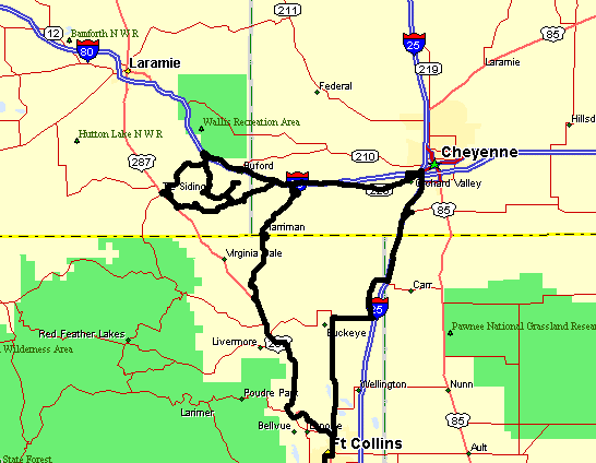
Exploring east of Tie Siding WY - Trains, roads, views
| Ready to
do a bit of exploring? Another nice day with a bonus
of some puffy clouds - they're always good to have in the
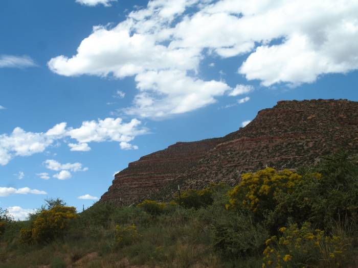
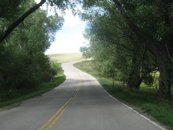
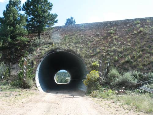
photos. The main item to find is one of the "Red Mountains". We're trying to match this photo that was posted by Rita at the STN website. She's not sure where the mountain is so the hunt is upon us. The closest Red Mountain is located southeast of "Virginia Dale" on the below map. Virginia Dale was a famous stop on the Overland Trail according to this Wikipedia article. We started northwest on US-287 heading towards Laramie WY and passed by Red Mountain which was to our right. The next open side road we turned to see if we could work around to the east side of the mountain but there was no open public route - only a few private ranch roads. Instead of turning back we simply continued north, then north a bit more, and yet even more. The state line soon was behind us and with the Union Pacific rail lines just ahead - let's check those out. One of the maps shows the line going through a tunnel. A tunnel? Out here? The area isn't exceptionally mountainous. We're near the highest point of the Transcontinental Railroad which the Ames Monument marks. Unfortunately we never found the tunnel - it was alongside a county road, as my maps showed, but the road was signed from each end with "Private Road - Do not enter" signs - sigh. The second map shows many lines representing roads. Most are un-named. I've said before that the DeLorme "Street Atlas" software is optimistic as to what's a road. It seems they used satellite / aerial imagery when they created the maps with little ground based verification. Many of the roads are long defunct two-track trails through ranch land or are somewhat active ranch access trails with gates and "Private / Keep Out" signs. So while the map teases us with options to visit some nooks and crannies reality sets in and those tidbits are out of our reach. Let's see what we could... |
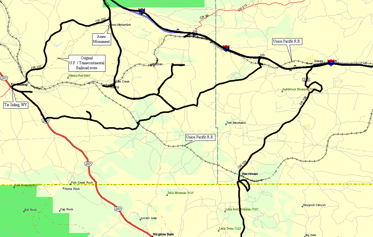
| The detail
map. It's loaded with grey squiggles. For the most part we rode all of
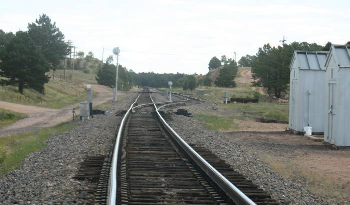
the "open to the public" roads. The railroad tunnel is between Tie Siding and "Natural Fort" mountain. You can see the road that runs along the tracks - with the two "dead end" turn backs, Street Atlas lists it as County Road 231 / Dale Creek Road. Google Maps has an image of the tunnel area (again listing Dale Creek Road). It looks like a shallow tunnel. |
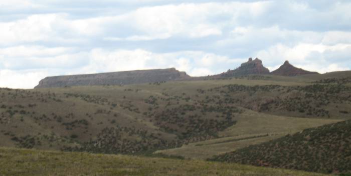
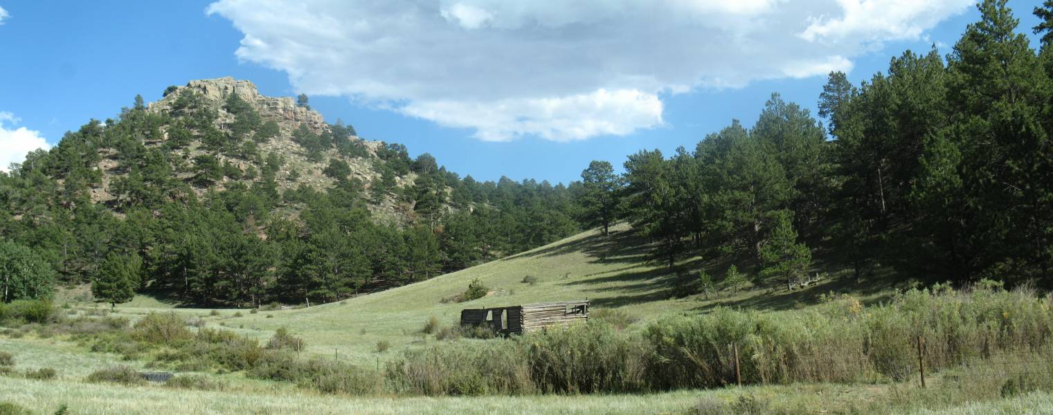
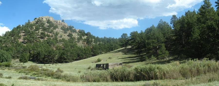
| Red Mountain - not sure which is. I could see the far right peak possibly matching the reference photo from above - perhaps from the East - we're looking at it from the West. |
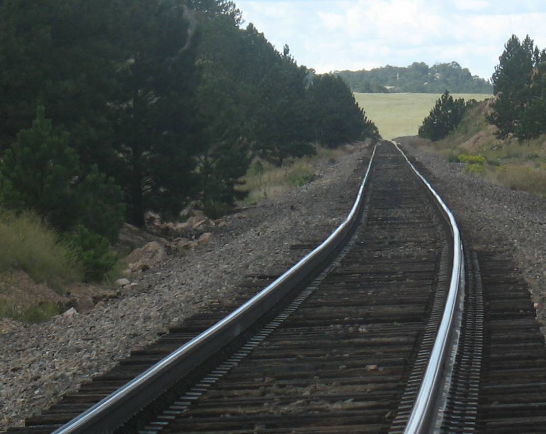
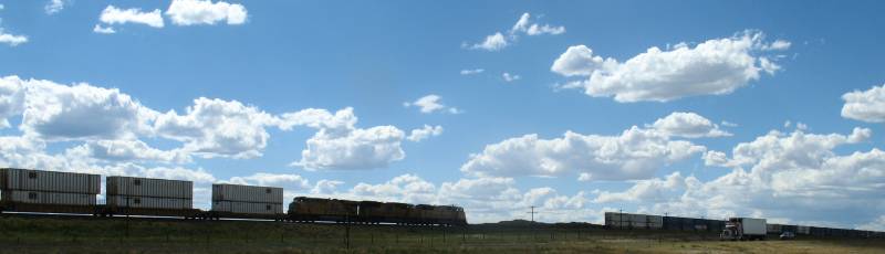
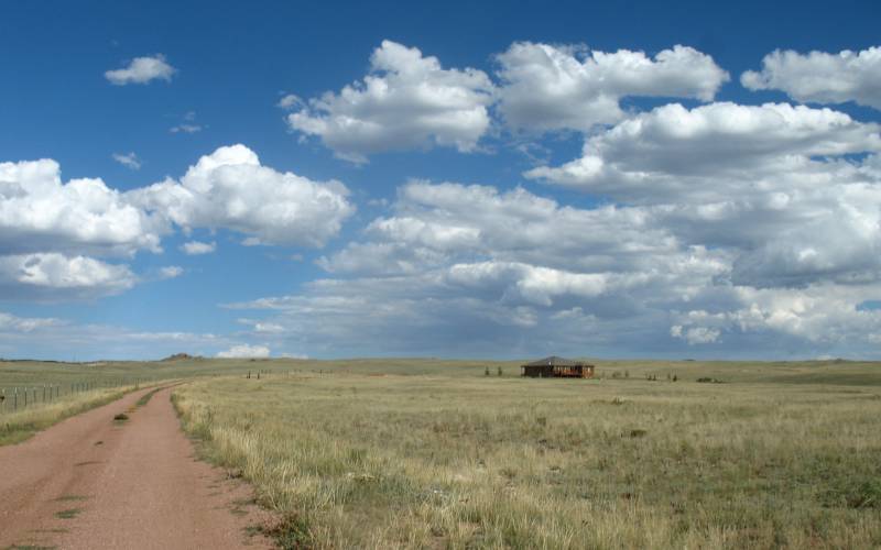
| Roads of the day. |
| A few trains too. |
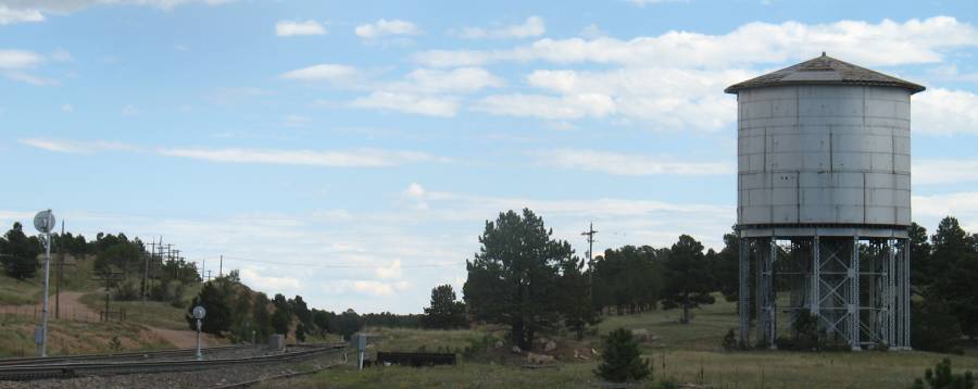
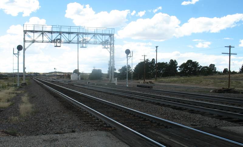
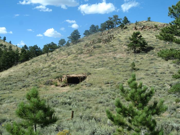
| Relic from the steam train days. |
| Larger Size |

| On I-80 playing hopscotch with
westbound 4527.
In the video I was able to film it at three different crossings. It was
rolling at 35 MPH while the freeway is 75. Video Three Trains Small - 320 x 240 WMV, 1 min, 28 sec, 3.5 MB Large - 640 x 480 WMV, 1 min, 28 sec, 10.1 MB |
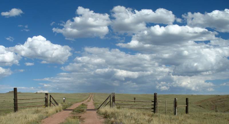
| A common cattle guard (Wikipedia.org) |
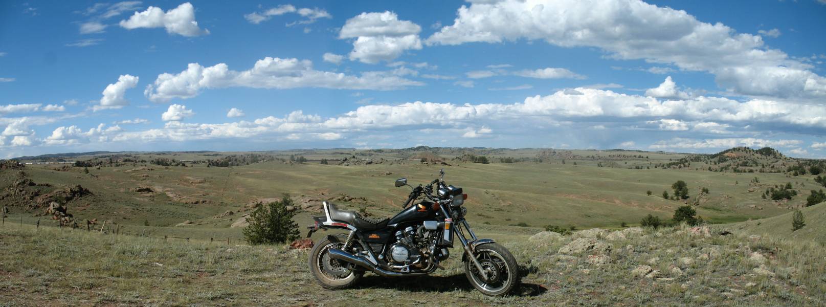
| Panorama Click for a larger size |

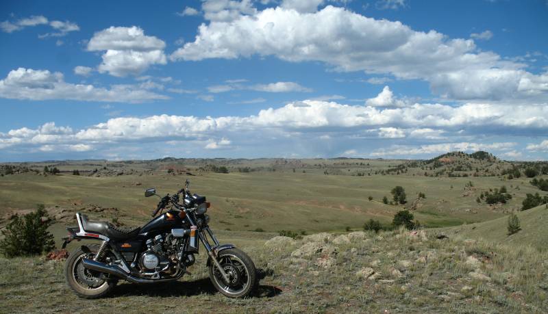
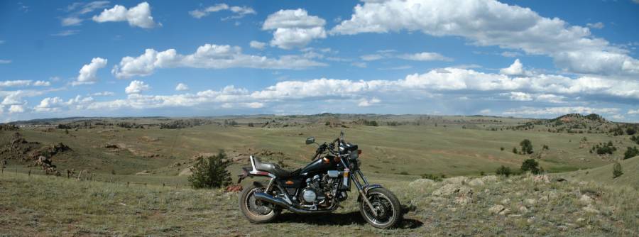
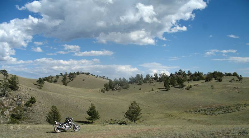
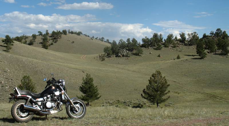
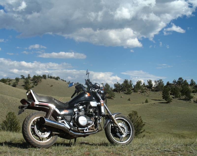
| Yea, a few shots of the bike. |
| Click for a larger size The rail line, stacked with rains, background left |
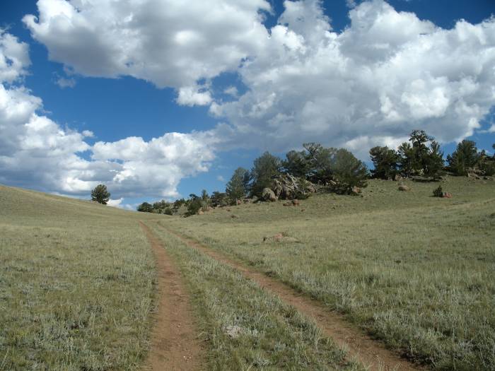
| Video Roads Less Traveled, Cattle on the Roadway Small - 320 x 240 WMV, 1 min, 11 sec, 2.8 MB Large - 640 x 480 WMV, 1 min, 11 sec, 8 MB Such a nice alternative to a long line of snarled stop-n-go traffic. |
| Click for a larger size |
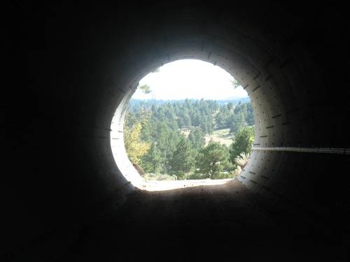
| Hole in the hill |
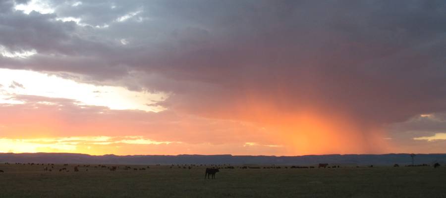
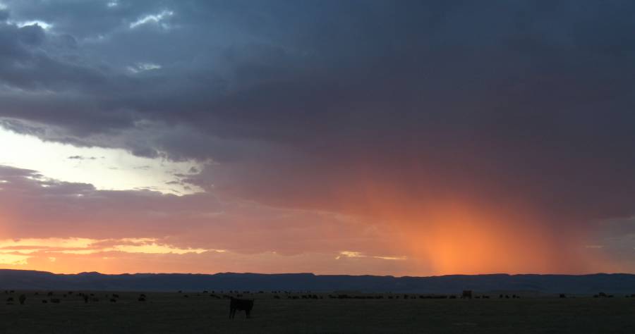
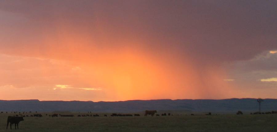
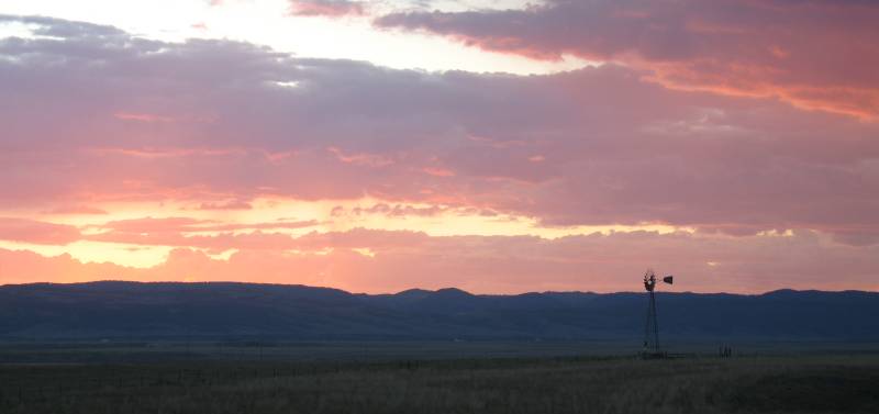
| Sunset |
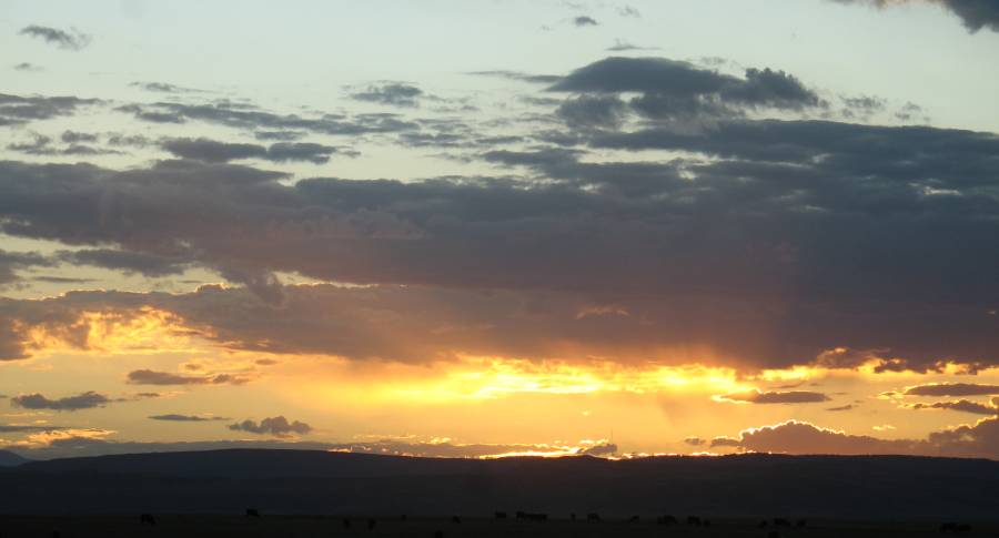
| As is typical this time of year - that ONE afternoon / evening rain cloud. The rain was being lit by the late day sun rays past a wide field of grazing cattle. |
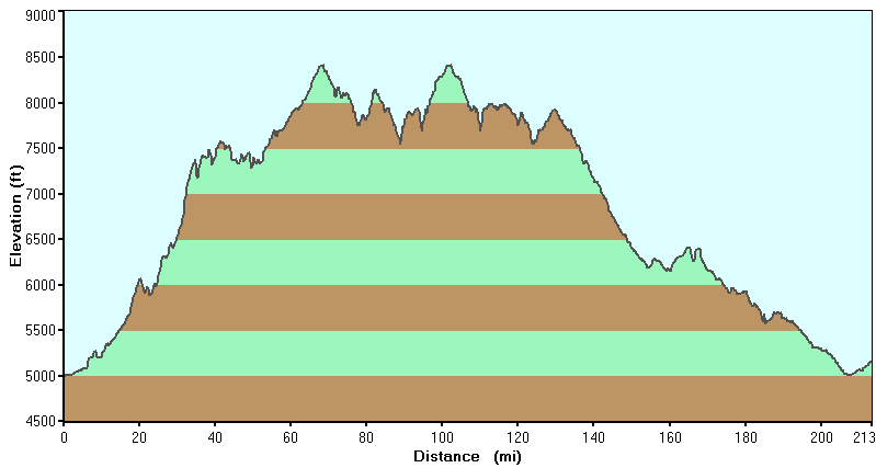
| Stats | |
| Total
Time: Moving Time: Distance: Moving Average: Overall Average: |
7:14 h:m
5:19 h:m 221 miles 41.5 MPH 30.1 MPH |