May
27, 2007 - Memorial Day
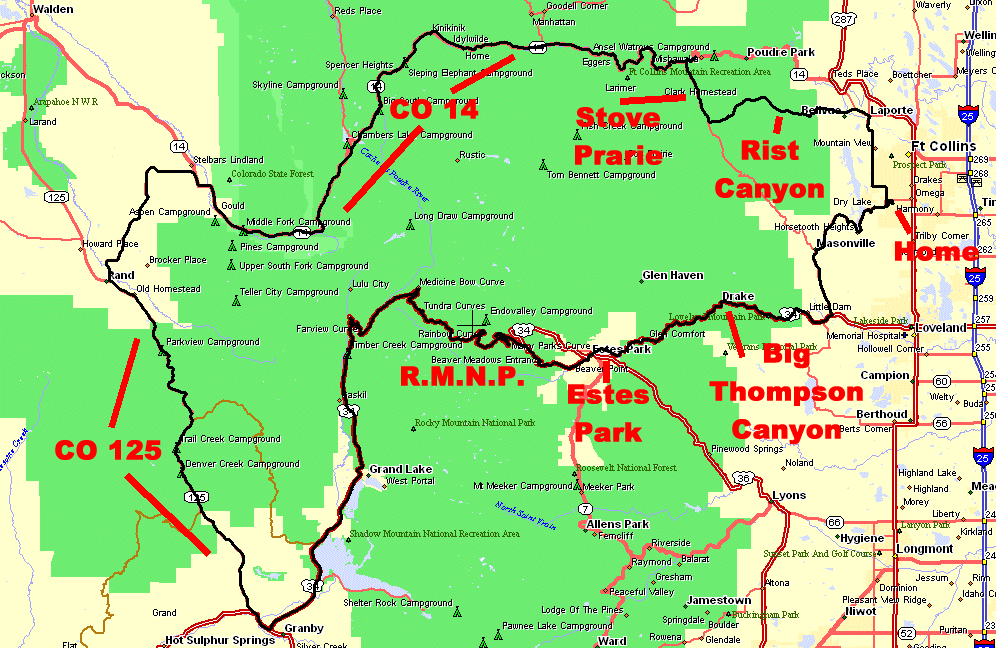
Big Thompson, R.M.N.P., Granby, CO125, CO14, Stove Prarie, Rist Canyon
Memorial Day. It's a nice day - though the roads
will be loaded with cars. Do some cleaning about the house or get some
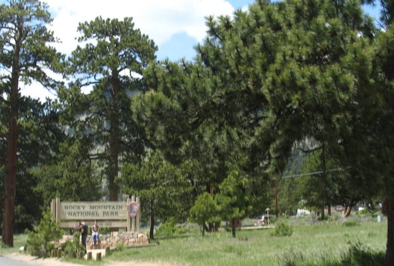
first of the season roadway shots of US-34 through Rocky Mountain
National Park? I'll enjoy the scenery and put up with some traffic.
I left the house about Noon - late - but I should be able to get back
before dark - it's only 233 miles. As typical - a bunch of photos and a
map or two for the page. I should have stopped more often (and gotten
off of the bike for some better photos) - that too - typical - and
something I wish to change.
Here we go...
Overview map - clockwise loop
|
| Looking down at Horsetooth
Reservoir. Lots-O-Boats out today. |

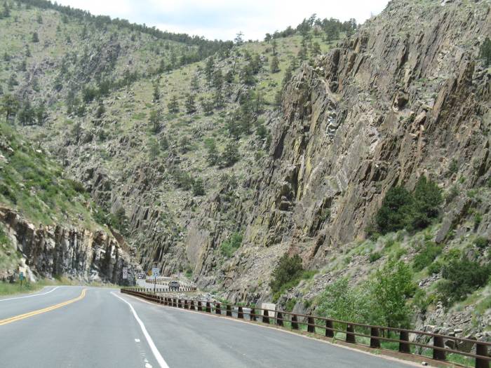
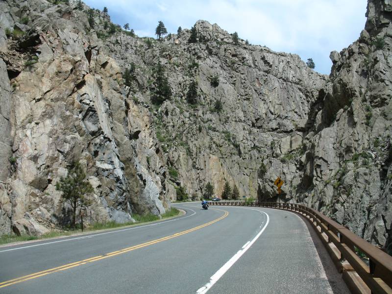
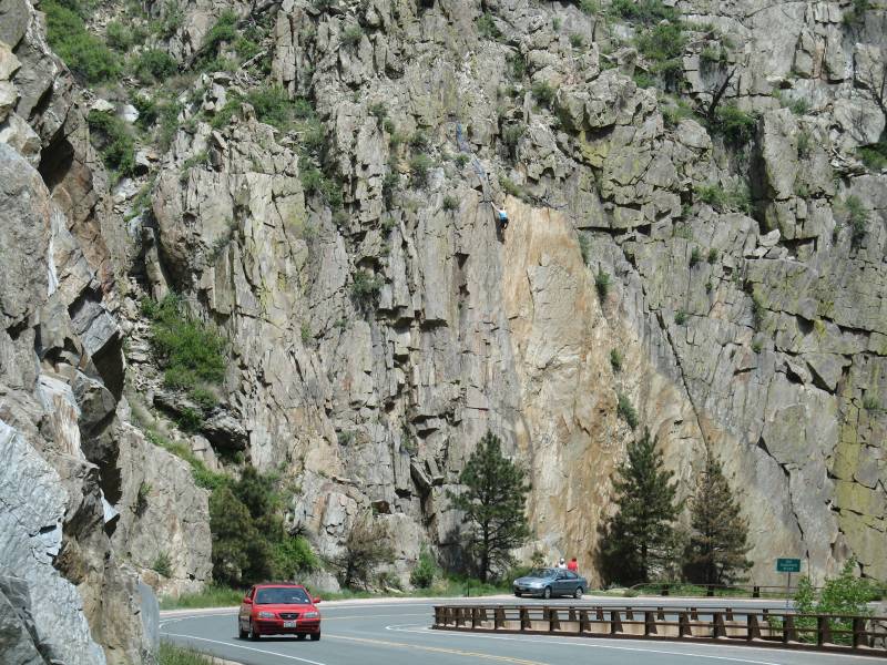
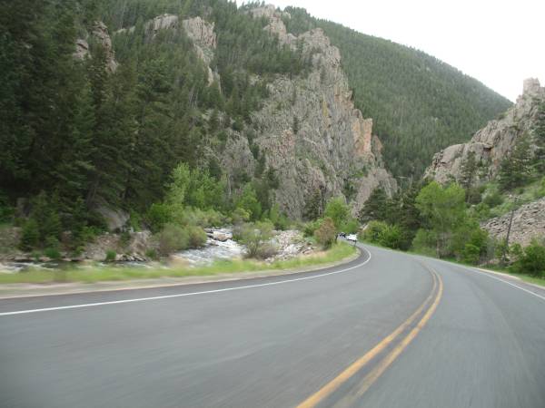
| On US 34 heading West - getting
close to Big Thompson Canyon. |
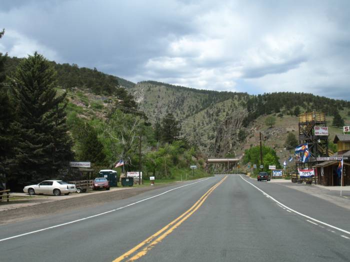

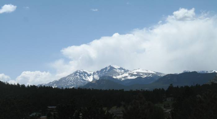
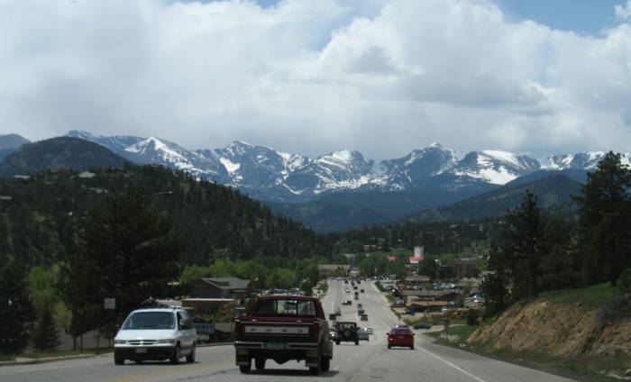
| Closing in to Estes Park, CO |
| There we are - sliding down into
town. Memorial Day in a tourist town - guaranteed to have traffic.
Though it's only for a short bit. |
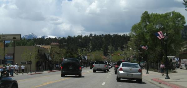
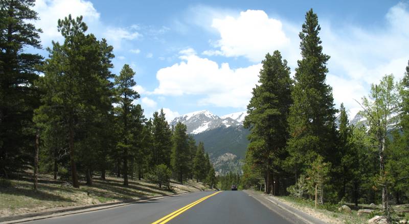
| Heading out of town - up into the
hills we go. |
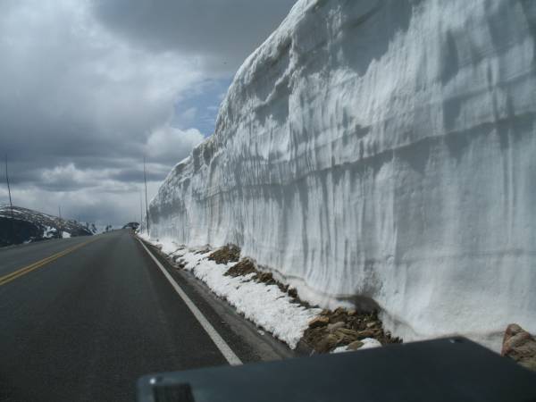
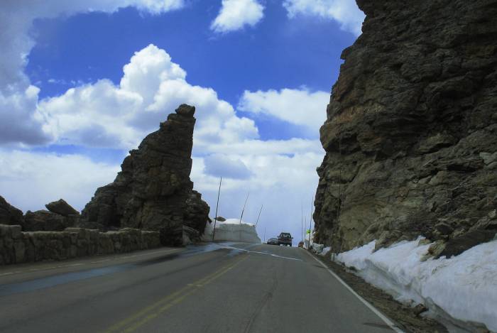
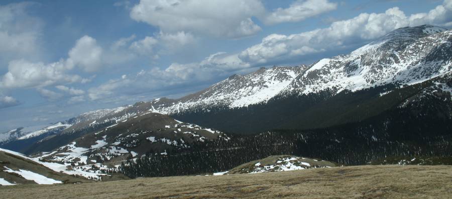
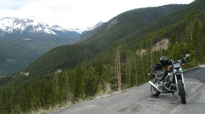
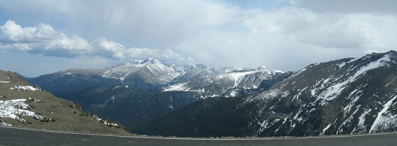
| Trail Ridge Road is being
re-worked. We're on new asphalt here. |

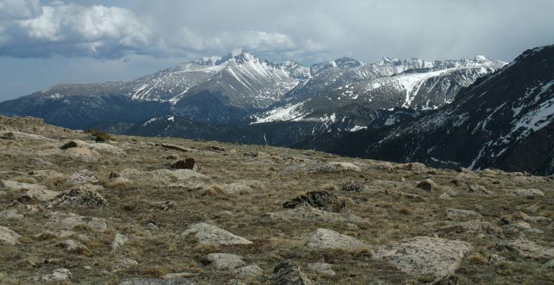
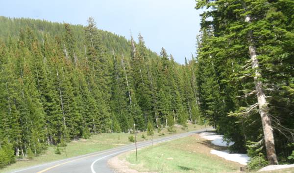
| What trees are here are smaller
and often wind blown - only having branches on the downwind side of the
trunk. |
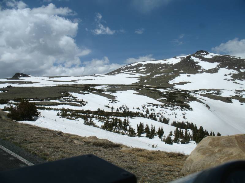
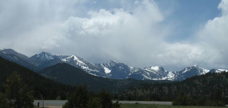
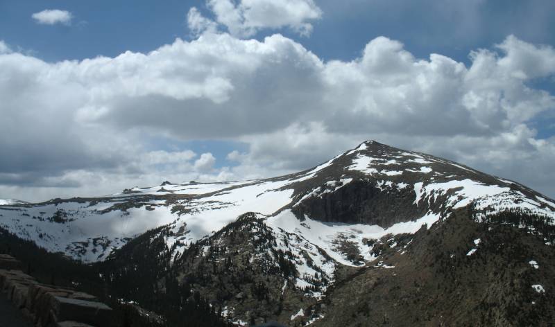
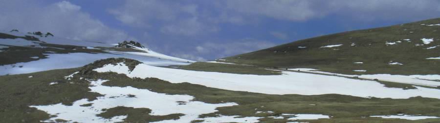
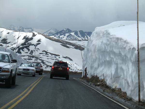
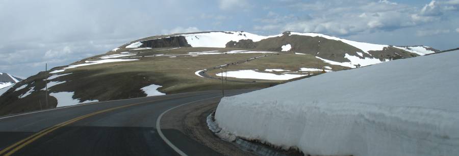
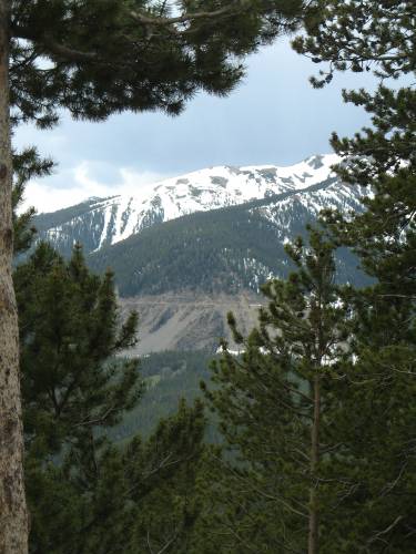
| Just a bit of snow, in spots. |

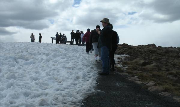
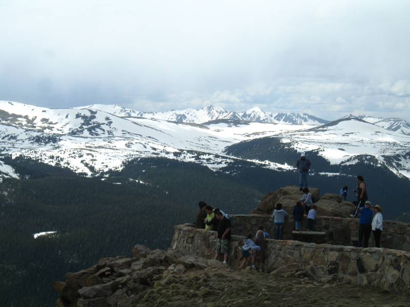
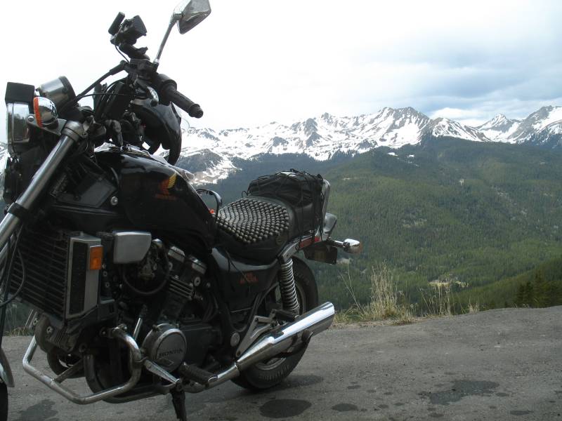
| 12,100 Ft above Mean Sea Level |

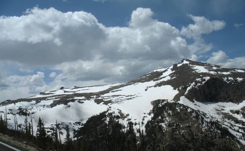
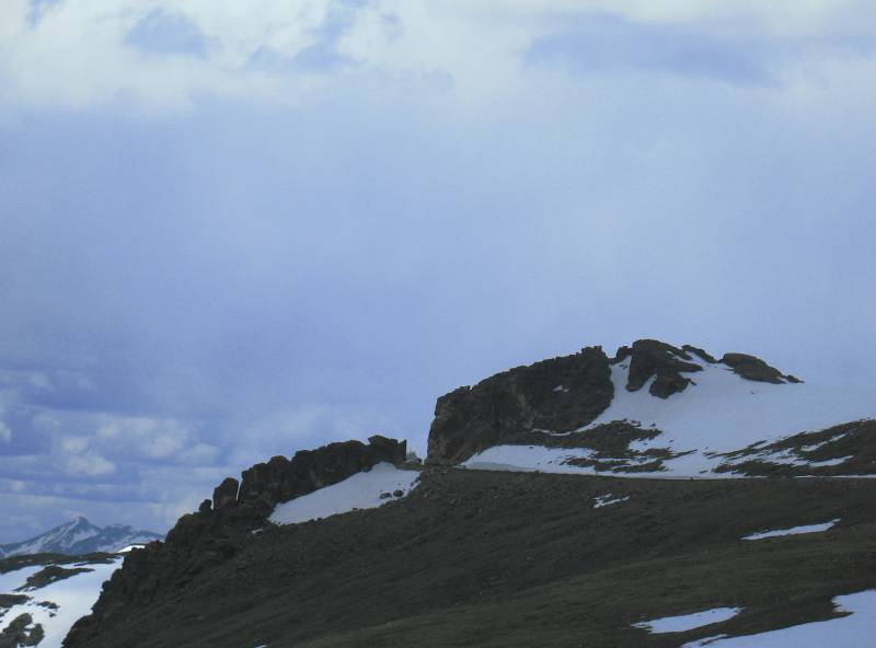
| The horizontal line near the
bottom and left of the photo is the "old dirt road" up to the top - Old
Fall River Road. |
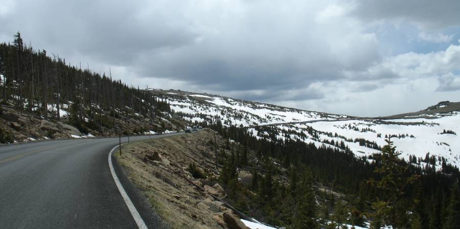
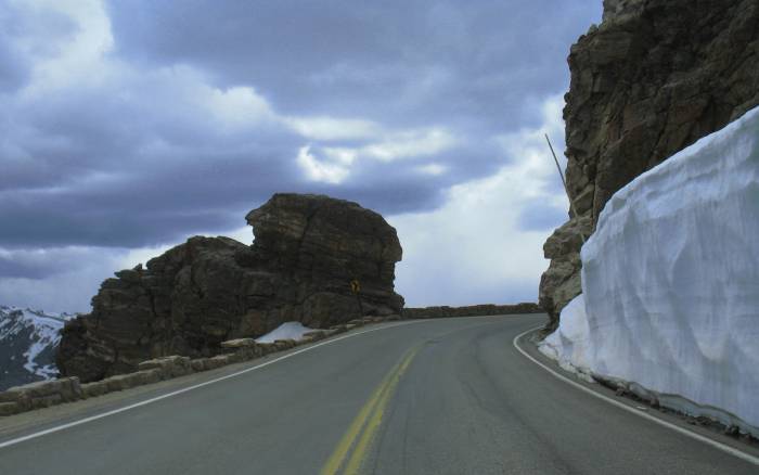
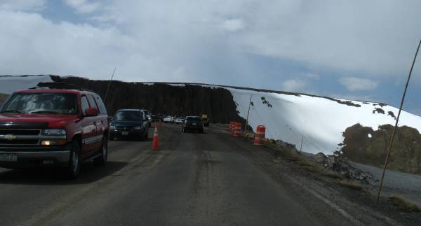
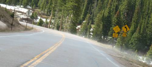
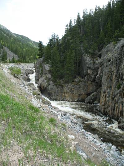
| Road construction this season. |
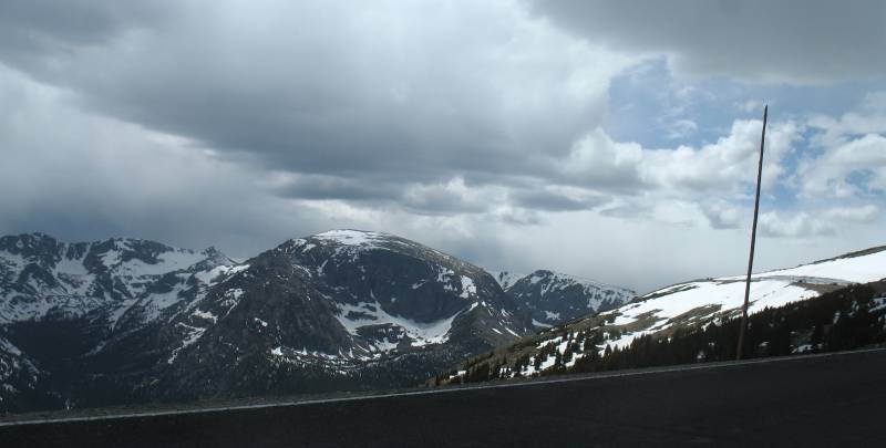
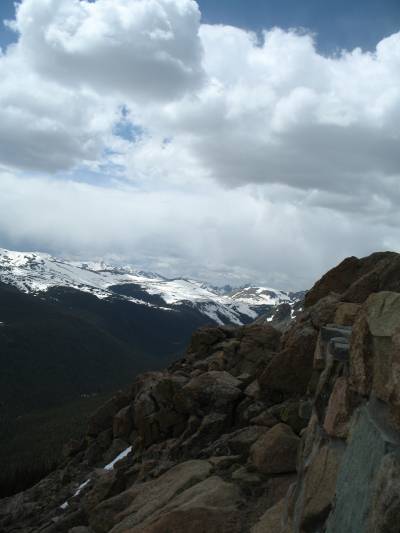
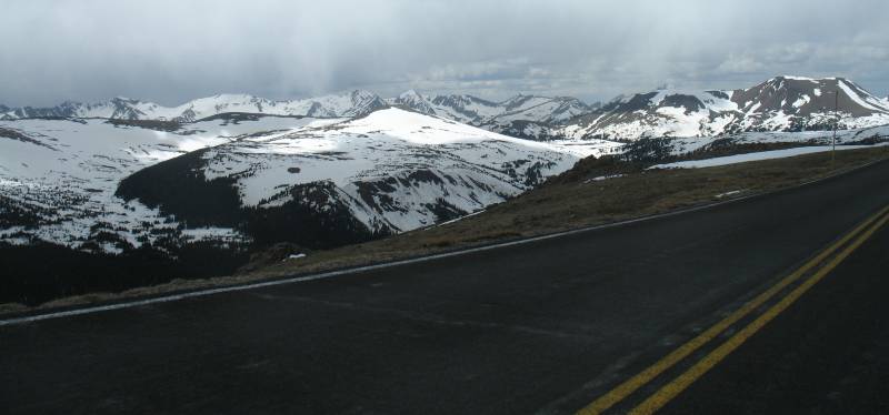
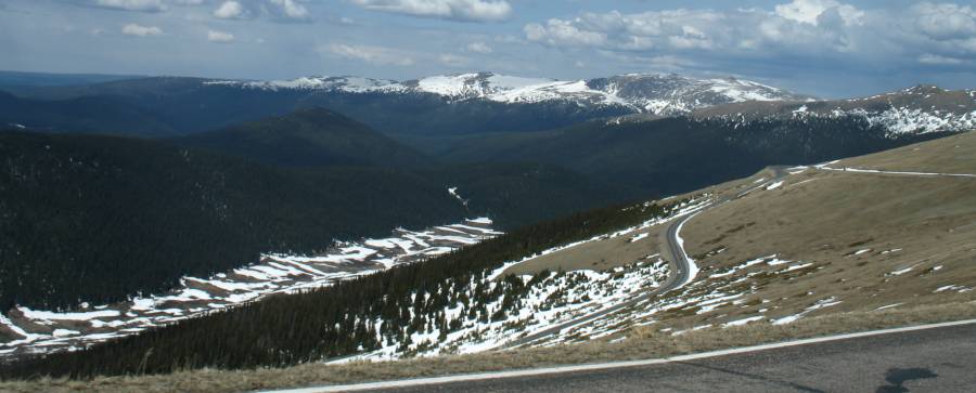
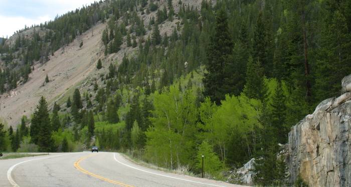
| Slipping down the western slope. |
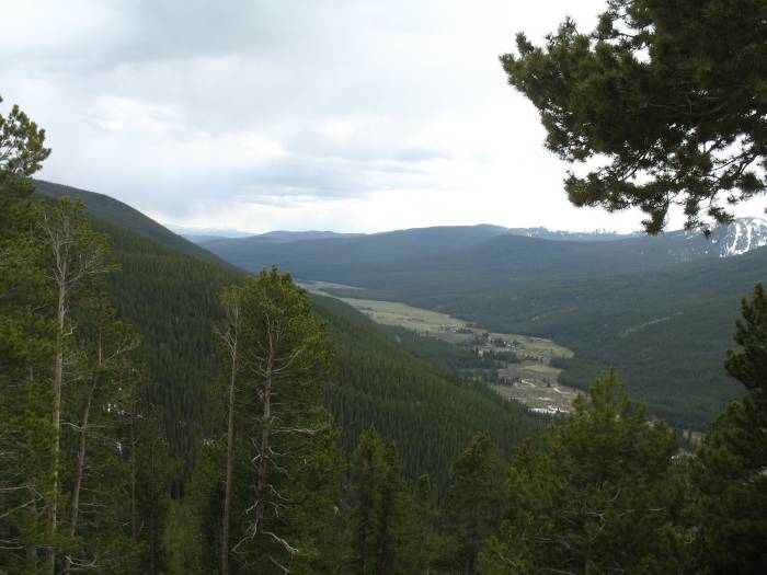
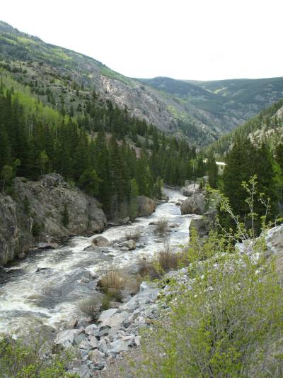
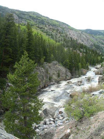
I wanna see how to get onto this
road...
*Update*
Nate emailed and said that it's not a road at all.
It's the Grand Ditch, a water canal moving water from the Colorado River to the Front Range.
A article on it is here (archive PDF) |
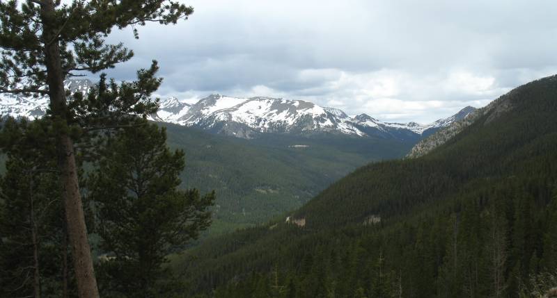
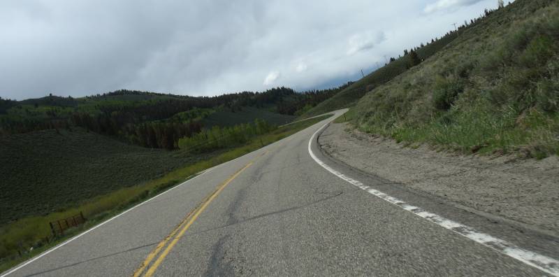
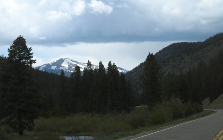
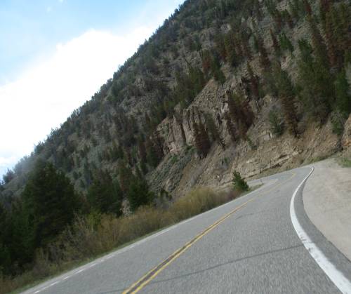
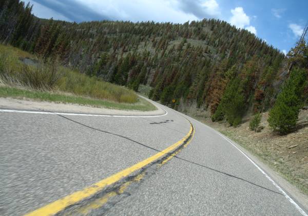
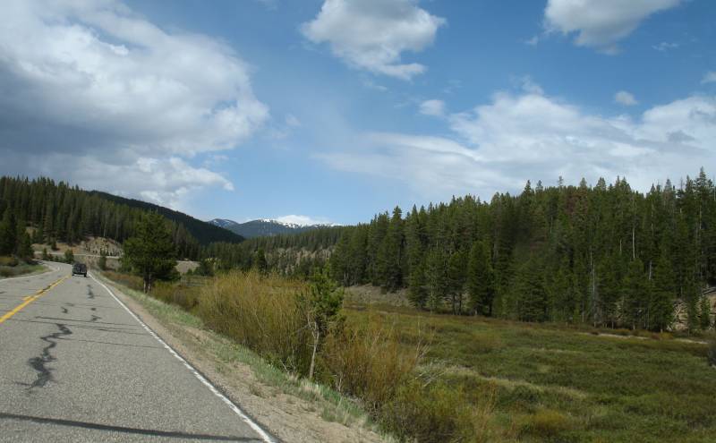
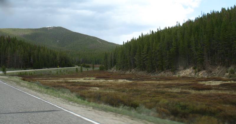
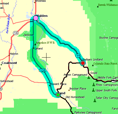
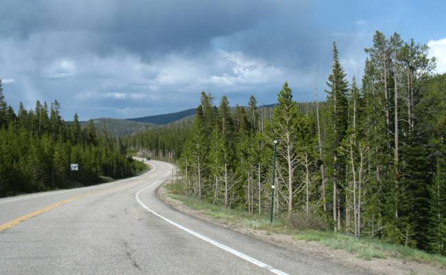
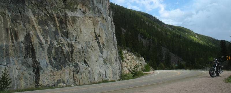
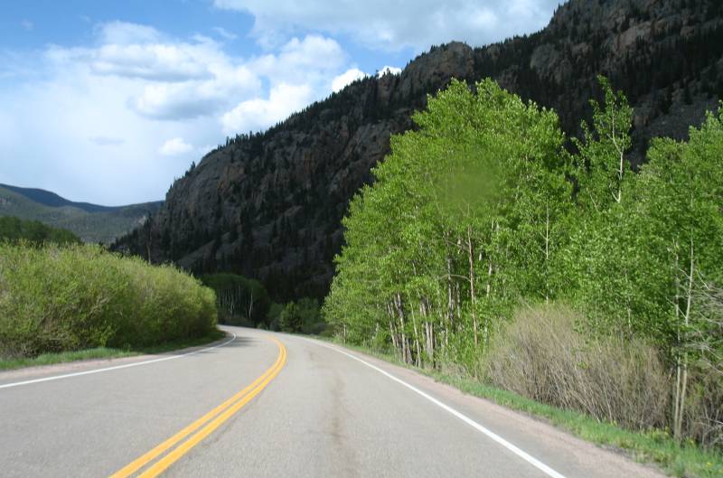
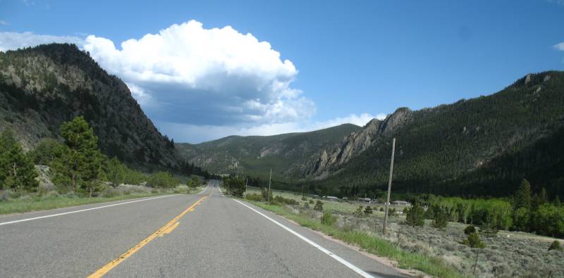
| We're out of the park, have
traveled down to Granby and we're now heading North on CO 125. I find
this to be a nice road. Little traffic. A relaxed valley. Sweepers.
Relaxing and scenic. |
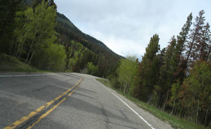

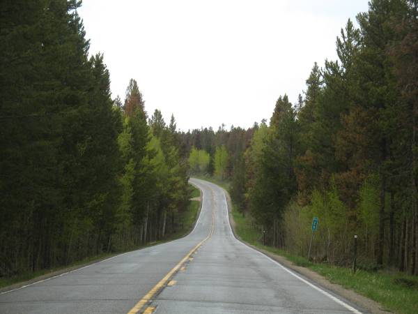
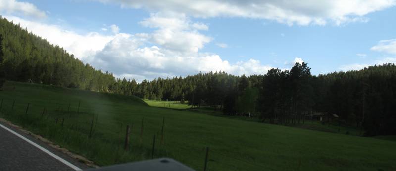
| A couple reminders of Northern
Wisconsin / Michigan and perhaps a bit of Northwestern Canada. |

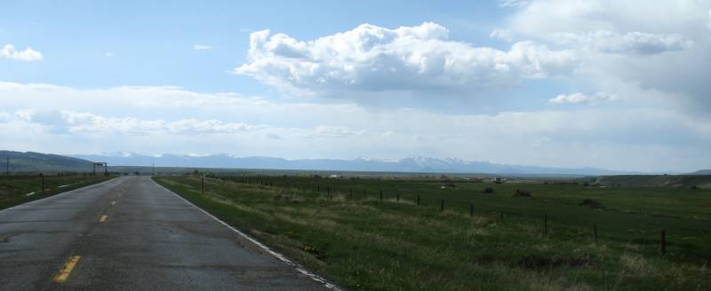
| CO 125 pops out of the valley and
trees into a wide open area. We're nearing Rand CO. |
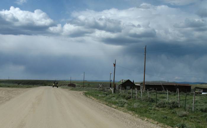
| At Rand I took the cutoff road
over to CO 14. This 14 miles of dirt would save me from riding 40 miles
of asphalt (via Walden). |
14 miles of dirt...
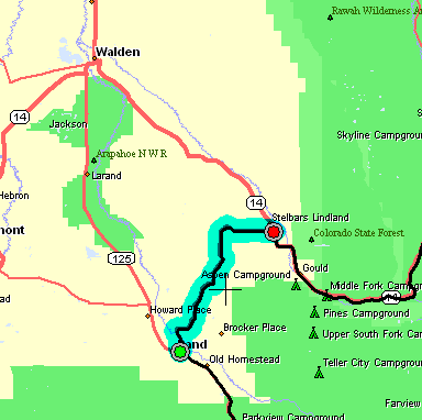
...or 40 miles of asphalt
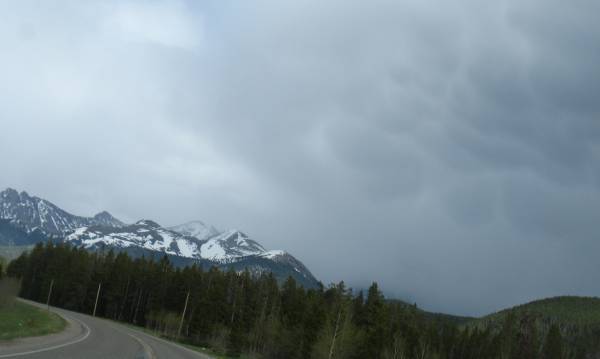
| Whoo boy - maybe I'll be getting
wet. Fortunately NOT! |
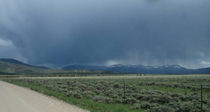
Off of the Rand-Gould cutoff I'm
heading East on CO 14
The rain looks to be right in front of me - but fortunately the road
will curve off to the left and, while I'll ride some wet roadway, I
won't get rained on. |
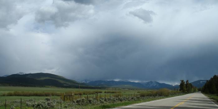
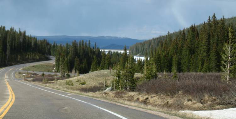
| Bubbly (mammaeous?) clouds. |
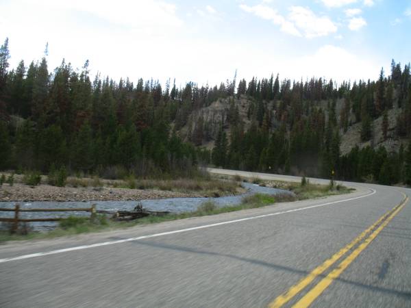
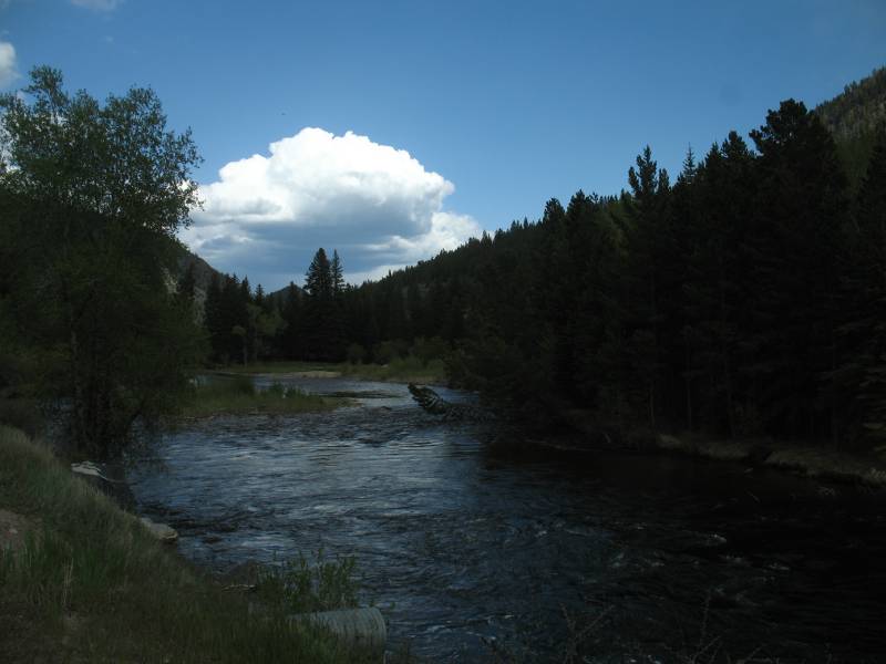
| Coming to the Joe Wright reservoir |

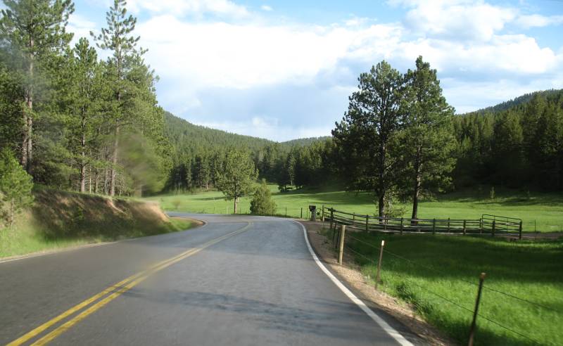
So now we're headed southeast on
Stove Prarie Road - getting close to home.
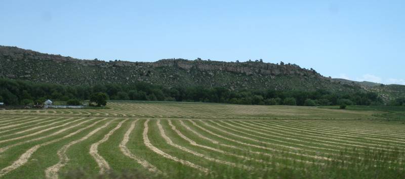
This is a fun stretch of green valley and wonderful asphalt. |
Total time: 6h 44m
Moving time: 5h 36m
Miles 233
Overall MPH: 34.6
Moving MPH: 41.5