Chiang Rai to Chiang Mai
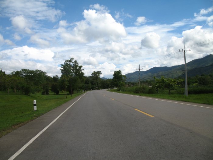
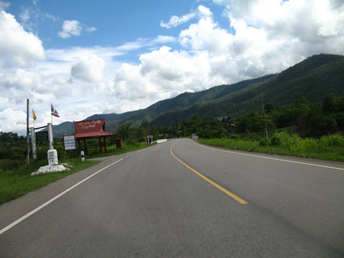
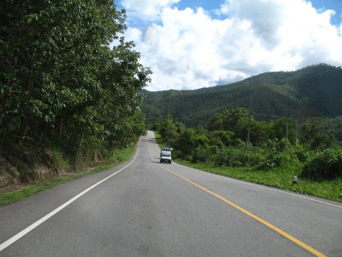
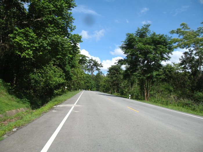
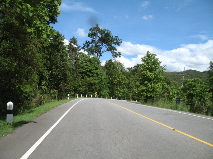
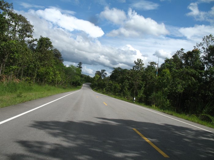
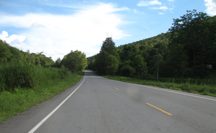
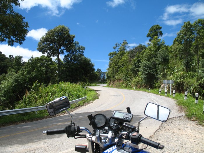
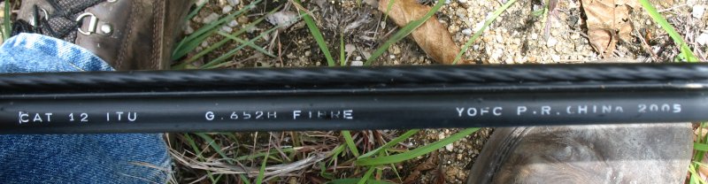
| Well, the dance would deviate a few times today..... I did a fair bit of uploading last evening - but did not yet have the video's produced. I planned to make them later in the evening and stop by the cafe early to get them posted - hoping to get on the road early. That didn't quite go as planned and while I got most of the vid's posted, the largest one at 54 MB will take too long so I held it back (it's 12 minutes of riding the mountain road from 05/31). Two deviations here - time to get rolling and not getting all items posted. The plan was to head southwest out of Chiang Rai and make Mae Hong Son by evening. One of the GT-Rider suggested roads is one the way right near Chiang Rai, #118 west of highway 1. It was nice - some traffic though - smooth asphalt with nice twists lasting for 5 to 8 kilometers. My route would roll south then jump west on 1150 to Phrao where I would turn south and re-trace #1001 that I took on the northbound two days earlier. Nearing Chiang Mai I'd make a turn to the west and ride the 120 kilometers or so to Mae Hong Son. Heading west on 1150 it started to climb, climb, climb. 4500 feet I think was about the highest it reached. It went on for some time - not just a quick hop up, over, and down like 1150 did west of Phrao. The views were nice when they were offered - roadside foliage blocked most views. Up here I started to notice a cable "drooping" from the power / telephone poles running over the hills, mostly following the roadway. Seeing this cable turn after turn - and then seeing a spool of it sitting at the roadside - a new cable was being installed. I did not see any mechanical devices - no cranes - no pulling winches. Just a crew of two gals and three guys. Manual labor. Later I stopped to look at the cable - a fiber optic line. The road surface was a tad rough and many of the corners had runoff soil in them. Erosion - above the roadway with soil and boulders coming down and below the roadway with the hillside going away and with it sections of road. The unsafe road areas were marked with a bamboo fence painted red and white. For much of the ride there would be some traffic - more bikes than 4-wheeled vehicles. People live up here. A village or three. At the side of the road would be a bike parked here and there. Well worn paths leading from the road out to the hillside. Down from the hill and nearing the town of Phrao I stopped at a roadside food stand. A first for me on the trip. Food isn't a high priority and I often pass by the local food stands - but I was a tad hungry and I should try more of the local foods. The folks there were fun and I'm glad I stopped. It became another deviation in the day - we spent a good amount of time together. Leaving there, and passing by the town fuel station, I headed south on the "familiar" #1001. My thought in passing by the fuel station was that I should have enough to get further south and there _should_ be a fuel stop somewhere down there. I wanted the fuel tank to be near empty as I wanted to do a bit of work on the bike (another deviation). If you've been following along I've made some comments about the performance of this bike. The collective group of you has been mentally yelling for me to make one simple check. Your thoughts finally made it to me. The bike has fuel issues. Reasonable performance at sea level (where I rented the bike) but poor performance as I increase altitude. I kept thinking of taking a look at the spark plugs but did NOT want to remove them for fear of having the threads strip. Breaking the problem down to the basics I didn't consider one item.... (many slaps to head for this). I kept thinking that the carbs must not be working right - that they had been "adjusted" for sea level and it just would not be expected to work well at altitude - even with the "altitude change" in question was minimal (2000 feet). So, yesterday, it smacked me - out of the blue - I wasn't even mulling the problem over: CHECK THE AIR FILTER. Yep, well, that could do it. Not knowing if I'd have to lift the fuel tank to get at the air filter I wanted to run the tank down (nothing unusually empty - just normal 200 kilometer fuel stop empty). So, I'm on this southerly path and the bike starts to sputter - 178 kilometers - so I switch on reserve. I do not know how far reserve will take me - and the numbers for the next town are in the high 40's for kilometers. I'm thinking this distance would be farther than reserve so I pull the speeds down into the high 60's from the 80-90 range and poke along. Some 20 kilometers later a roadside fuel station presents itself. I pull into the shade of the overhand and remove the bags to get at the tools under the seat. Screwdriver in hand I remove the two side "air box" covers. Looking at each I see where the air filter is contained and pull out one of the wrenches I had purchased. Air filter out - that looks to be the problem. It's caked with grime. It's a disposable canister style - nothing that I'll find on the road (seeing how difficult it was to get a tire - this item is even more bike specific). It fits in the space under the seat and I re-close the covers and re-pack the bike. Rolling out of the fuel station with a full tank....Oh, the joy!!!! It has smooth power; no crazy sputtering in the 5000-6000 range. It wants to GO! Another deviation for the day - a well appreciated one! Cruising south looking for a turn to the west. The bike is cranking smoothly. The weather is nice. The planets are coming into alignment (key would be off of this straight and busy road). I get close to Chiang Mai and see a marked road to the west. Checking the map - it's not the one I wanted - it was way back about 10 kilometers. No biggie - this will do. Once I'm back on 107 and heading north I need to find the road to the west - there are two - first a small and then a larger. I'm glad to be going west as down to the south - Chiang Mai - is a dark rain shower cloud with loads of rain dropping out. Seeing a "small" but still popular and marked road to my left / west I take it. The road should be heading northwest but soon I'm following the GPS and seeing that this is doing a loop to the west and now a bit to the southwest. This isn't the one I wanted - but it was listed on the GT-Rider site as the best 100 kilometer loop near Chiang Mai. The road is nice - good twists and since I was thinking I might not be able to make Mae Hong Son by nightfall (due to the stacked deviations of the day) I was having Chiang Mai in mind for the evening stop. The wet issue of rain over Chiang Mai appears again - this road is heading towards it. I stay with it until I get into some of the rain and do a U-Turn. It's still dry behind me - why not do some of twists again? Better in the dry anyway. Back down from the route I four lane it towards town. The rain is closing in so I pull under the shelter of a fuel station. I'm the first of four waiting it out. Twenty minutes go by and while the brunt of the storm is over the trailing rain is keeping up. I'm tired of waiting and since a hotel has been selected I put on the rain top and head out. The jeans get a bit wet but not bad. Tomorrow - fill up and check fuel mileage on the bike again - I'm sure it will be better - but even if it's worse having a smooth running bike will be nice. |
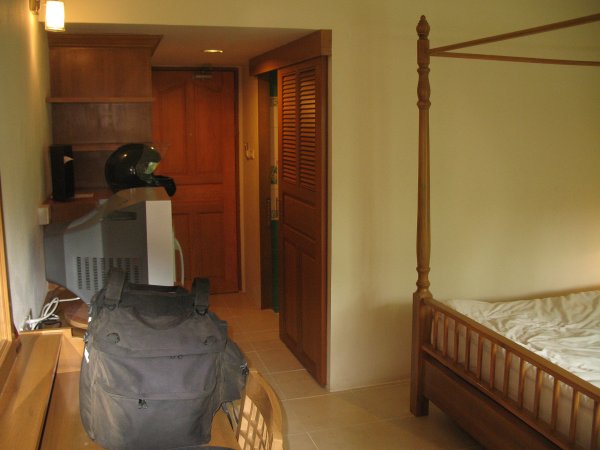
| Moon & Sun Hotel, "new room" Chiang Rai. Good digs. |
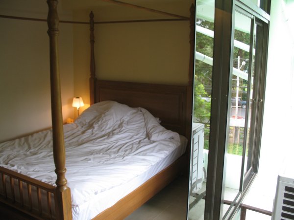
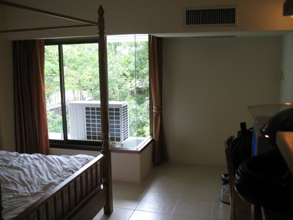
| That's a "balcony" - sliding door equipped. Not very large and the AC unit was placed out there so it doesn't get used. |
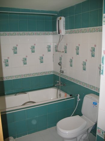
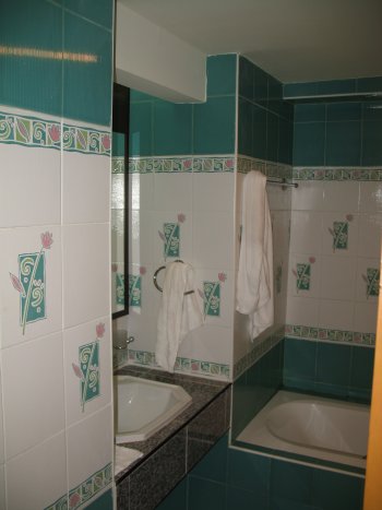
| Nice, clean bath. This unit has bath plumbing into the wall and the water heater plumbing also into the wall. Some baths have the "user fixture / shower head" directly attached to the output of the water heater. |
| The hotel crew. Sa Wat Dii Khrap! (Hello) |

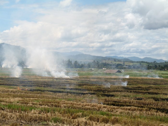
| Rice fields, harvested and being burned down. |
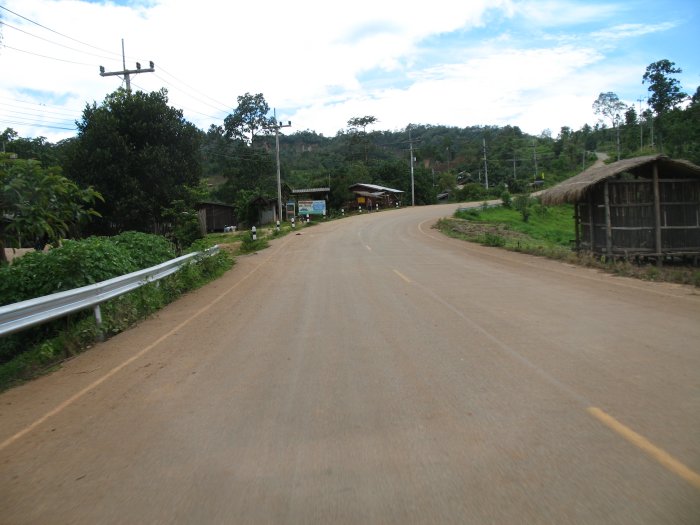
| Rolling through a village. |
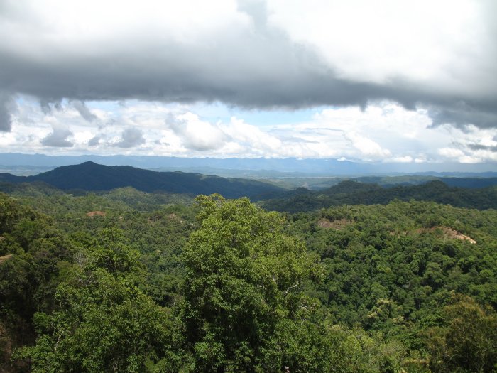
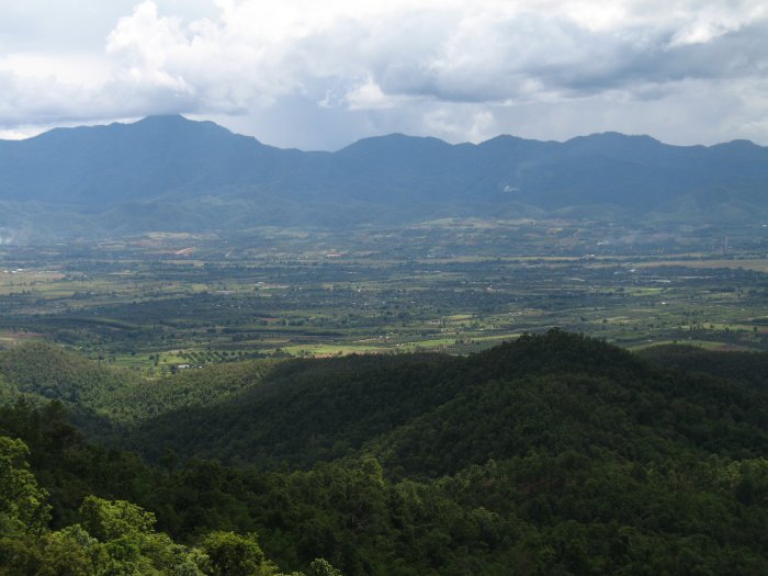
| Looking out over the treetops. |
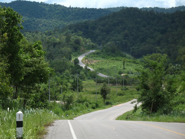
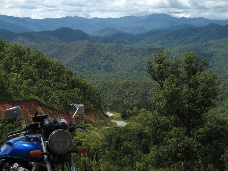
| I just rolled down from "up there" |
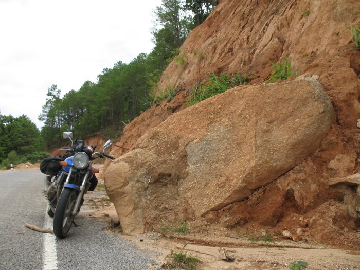
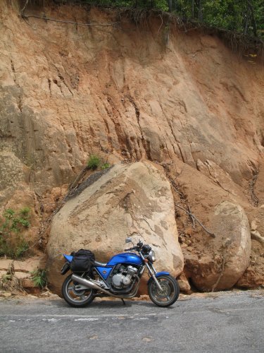
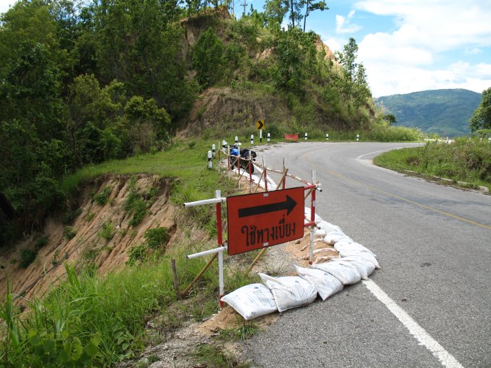
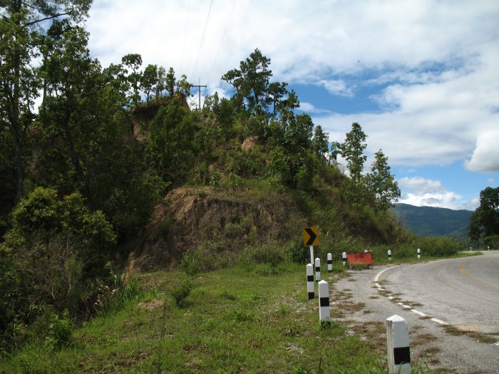
| There were several spots with rock falls. |
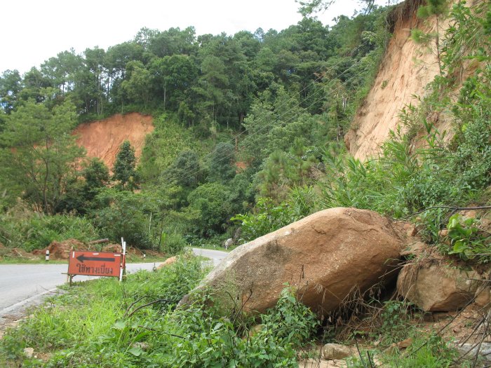
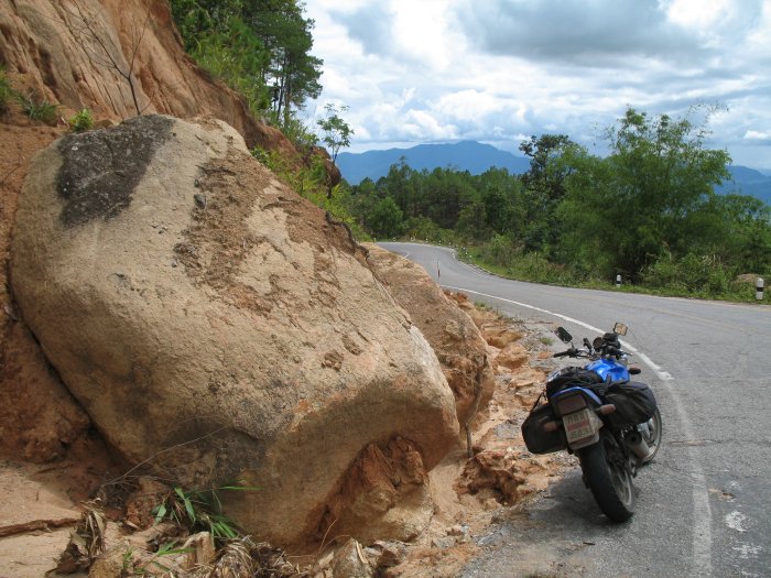
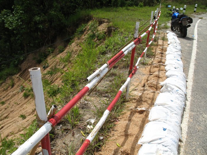
| One of the erosion spots - with a nice bamboo fence. You can see the black fiber cable laying on the ground - crossing over the eroded area. |
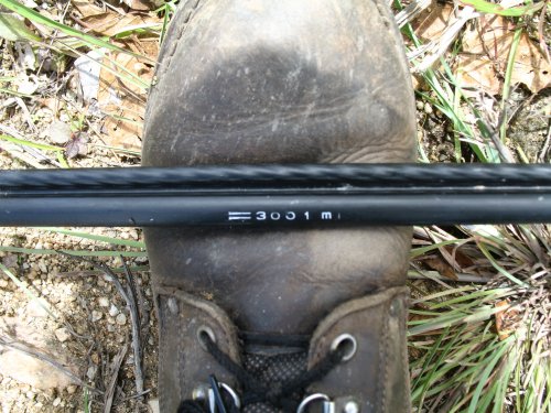
| Just so ya know. |
| The cable is laying on the ground, extending up the hill, and is "hooked" into a pull spot on the tower at the top of that hill. Where the cables cross over a roadway the cable is "wrapped up" enough to keep it from snagging on vehicle traffic. Elsewhere it is laying on the ground ready to be pulled tight. |
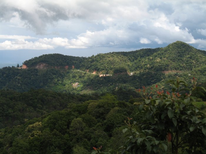
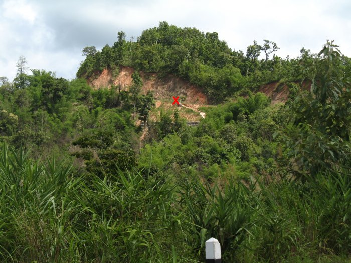
| I'll be heading down there and then will "take a left" and head out the left side of the photo. A prior day I came in from the left side of the photo and exited out jumping over those smaller hills at the far side. |
| The above photo was taken from where the "Red X" is. |
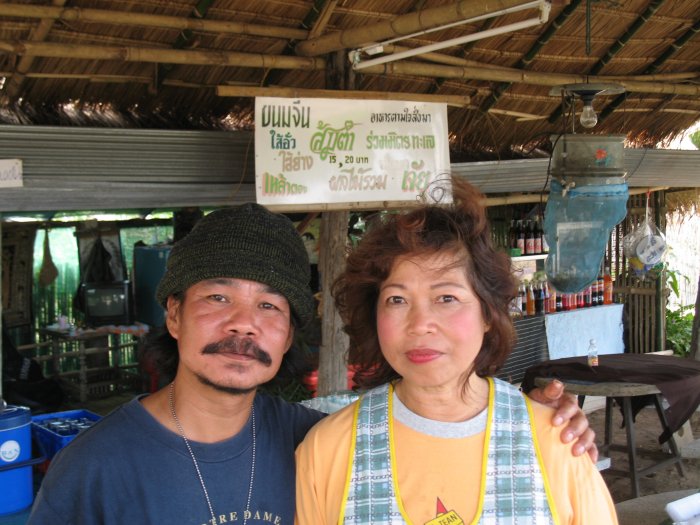
| Mr. Somyut & Ms. Youpin Good folks, Good food. I gather that their name is on the sign - bottom right corner perhaps. She also joked that I should keep an eye out for a husband for her and a wife for him.... |