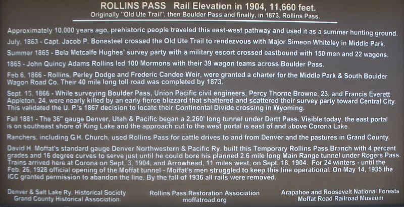
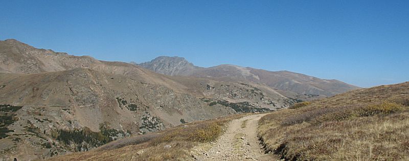
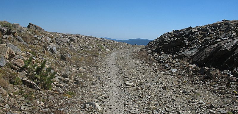
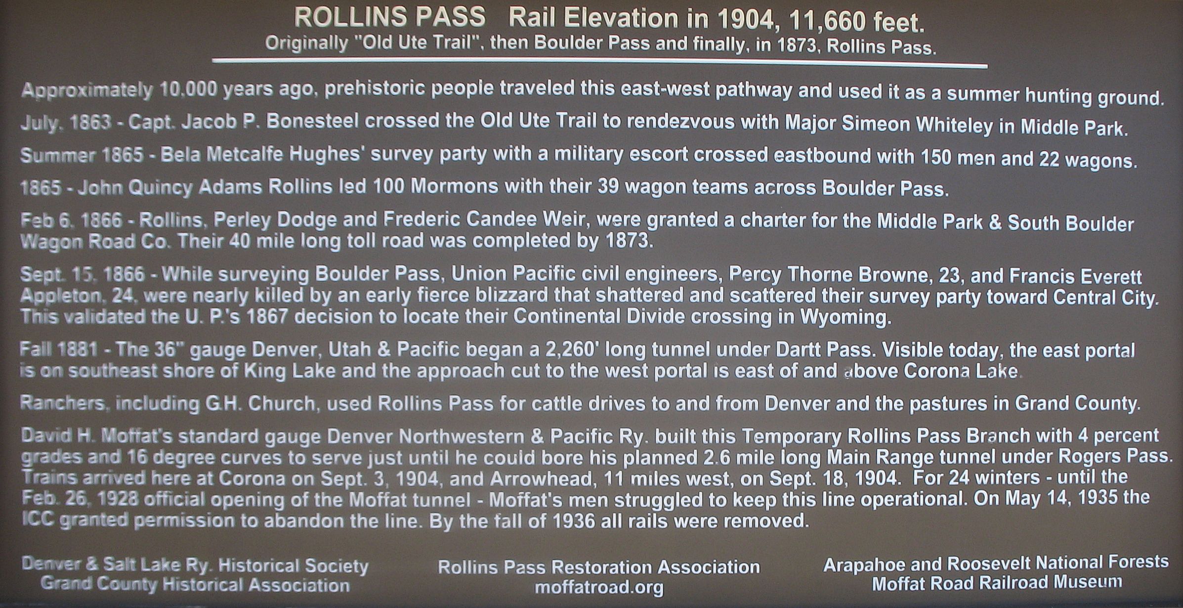
There
is an old railroad line that traveled up and over the mountains between
Rollinsville and Winter Park. It operated for about 24 years (1904 thru
1928) before being detoured via the Moffat Tunnel. Major portions are
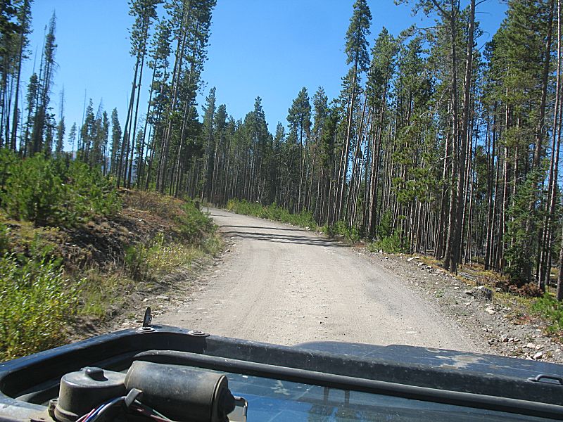
still open for travel by motor vehicle as well as pedestrian traffic.
Early after being abandoned it was a through trail for automobile use.
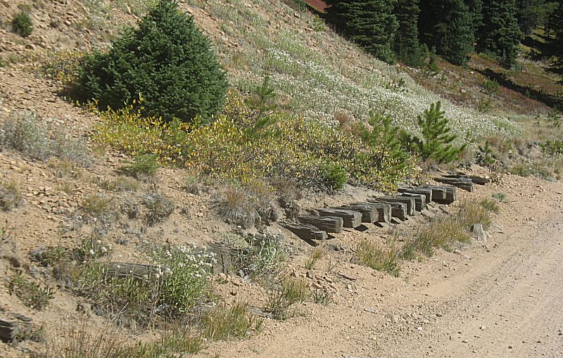
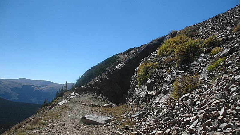
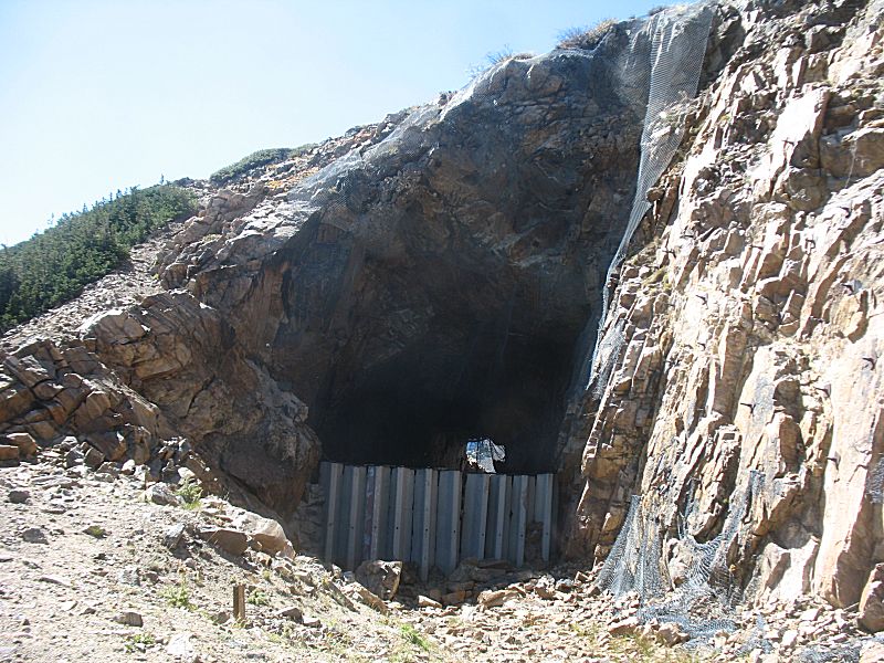
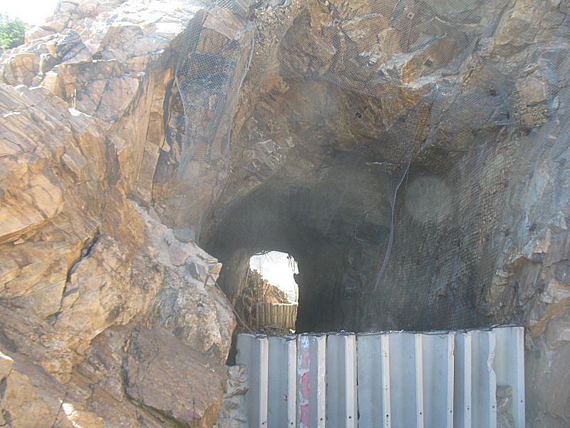
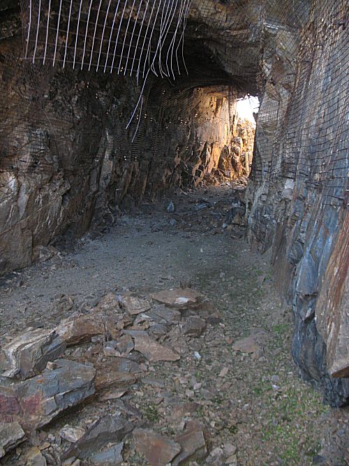
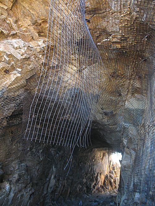
It is currently closed for through traffic due to instability of the
short Needle Eye tunnel (falling rock). Efforts were taken to bolt and
net the rocks but it's still closed with falling rock issues. It'd be
great if it could be opened for through traffic! Perhaps work to remove
the roof and make it into a 'notch'? So, today will be a day to visit
the more-difficult-to-visit western side (more difficult as the
trailhead is farther from home).
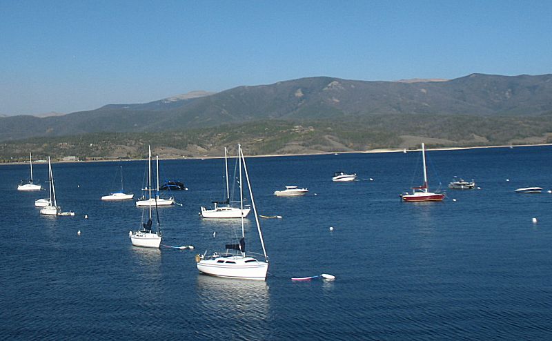
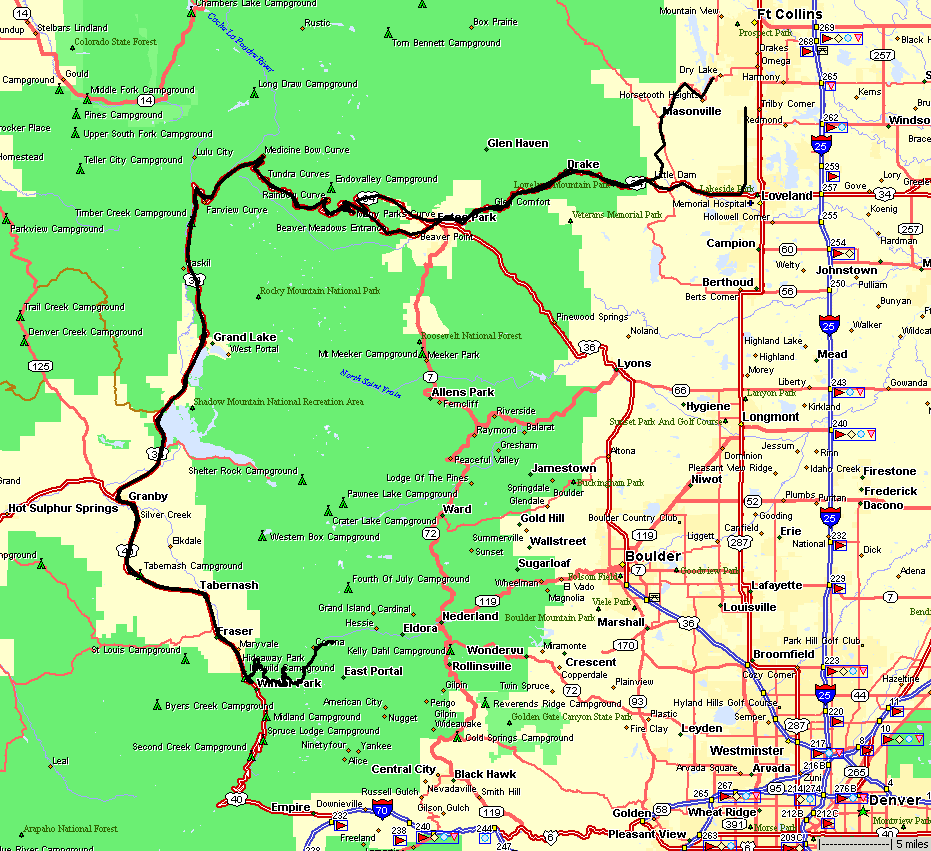
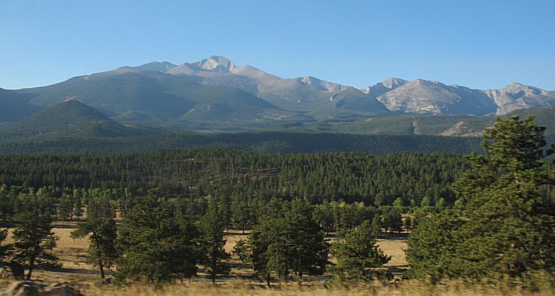
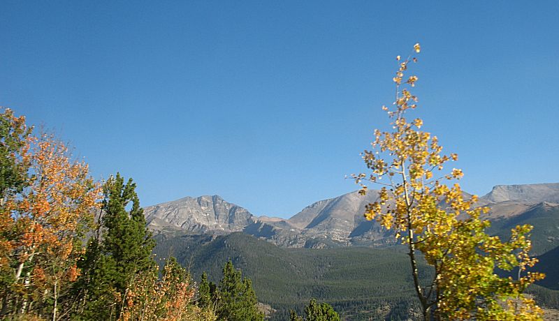
I'll meet up with one other 4x4 member at Rocky Mountain National
Park's Beaver Meadows visitor center. We found out that today is a
"free day" for the park. It's appreciated as I won't have to pay the
$25 entrance fee to be able to drive through the park (up-n-over on
US-34). We'll meet the rest of the group (six vehicles total) at the
trailhead. Those folks are taking I-70 into the mountains and north on
US-40 over Berthoud Pass.
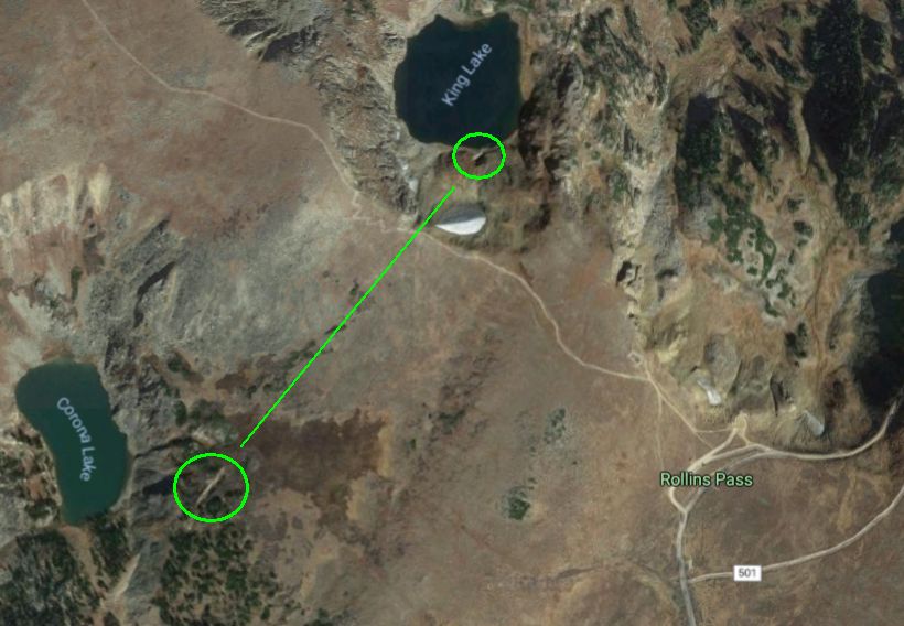
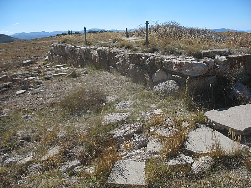
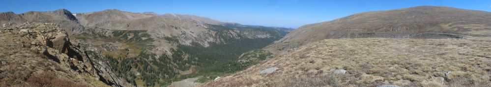
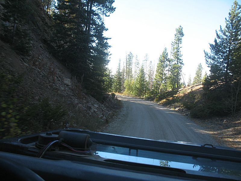
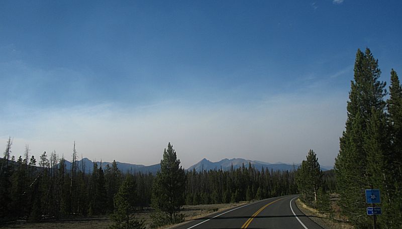
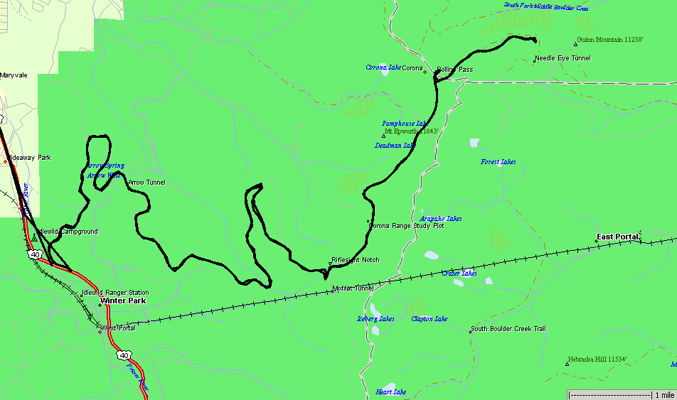
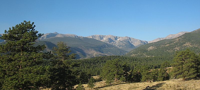
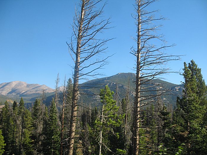
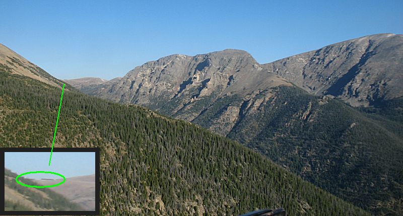
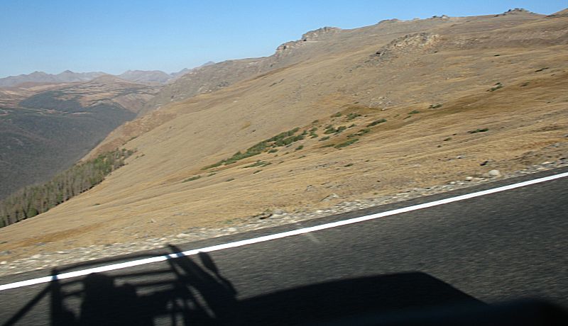
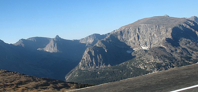
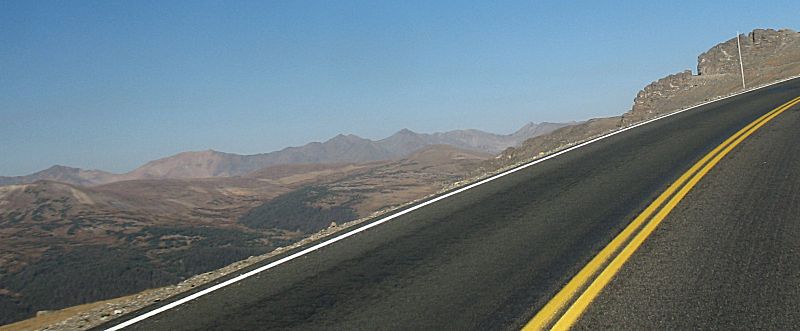
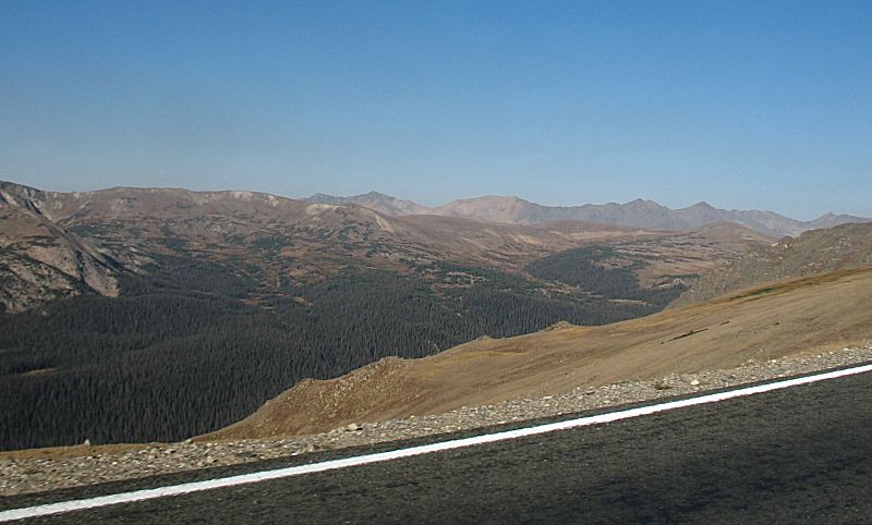
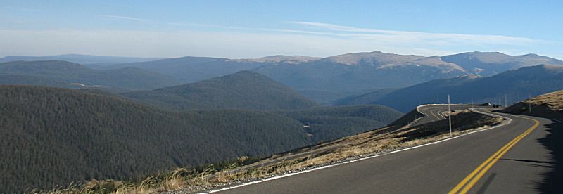
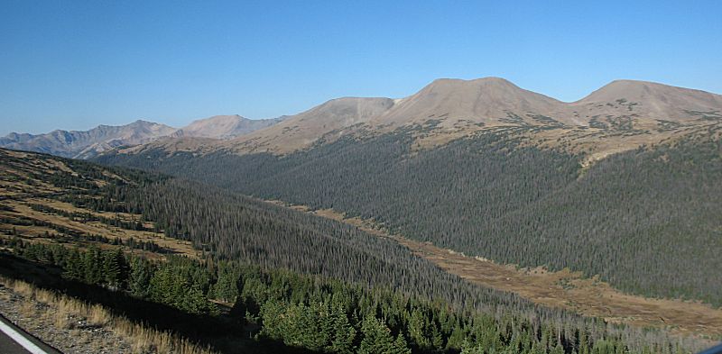
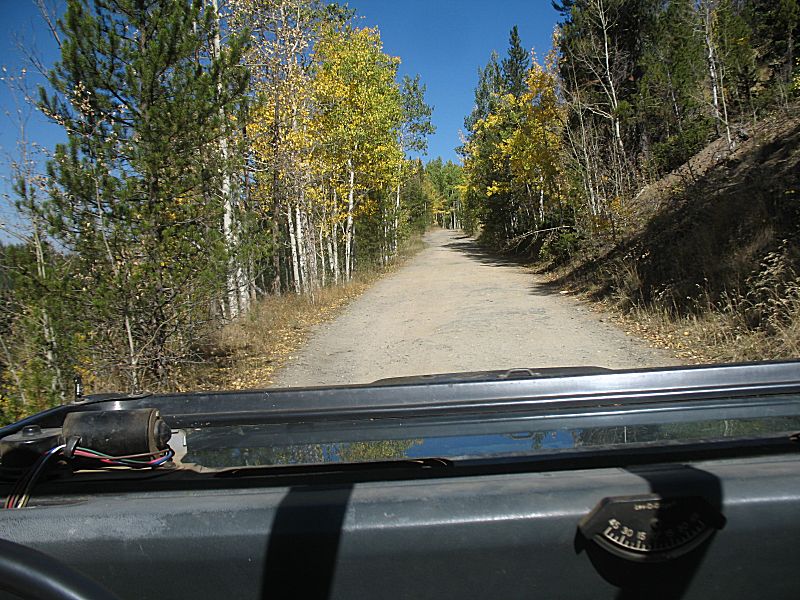
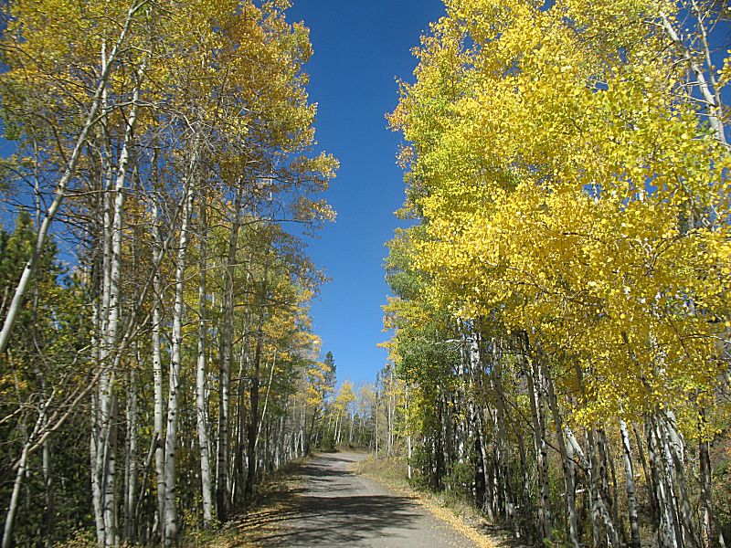
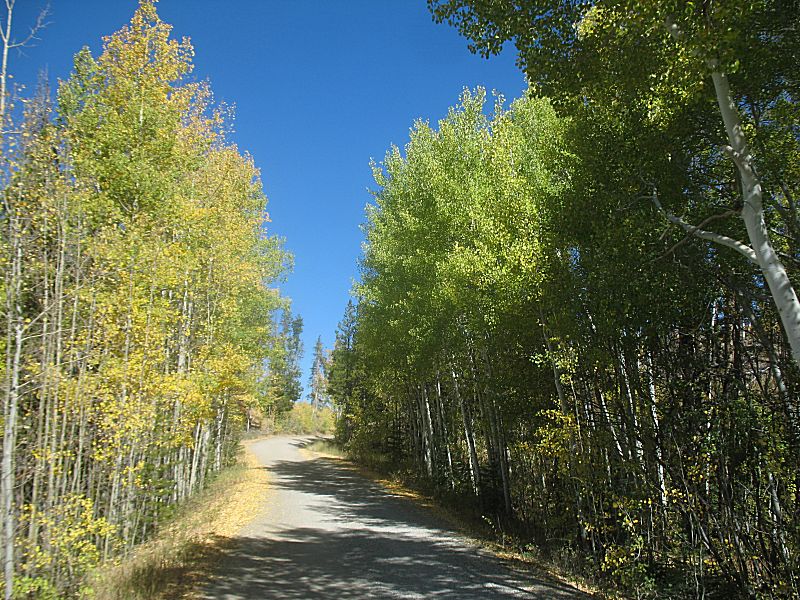
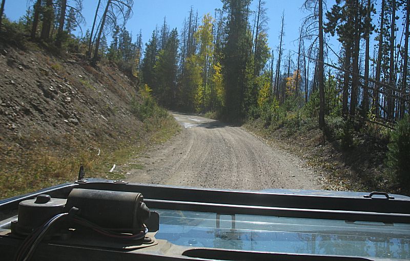
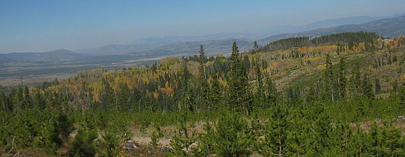
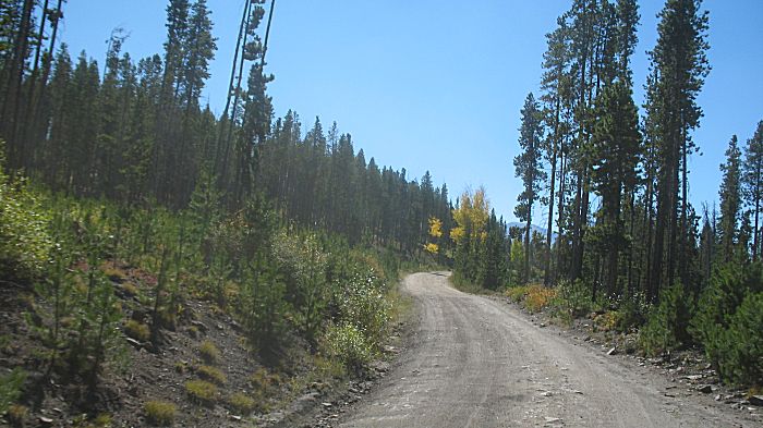
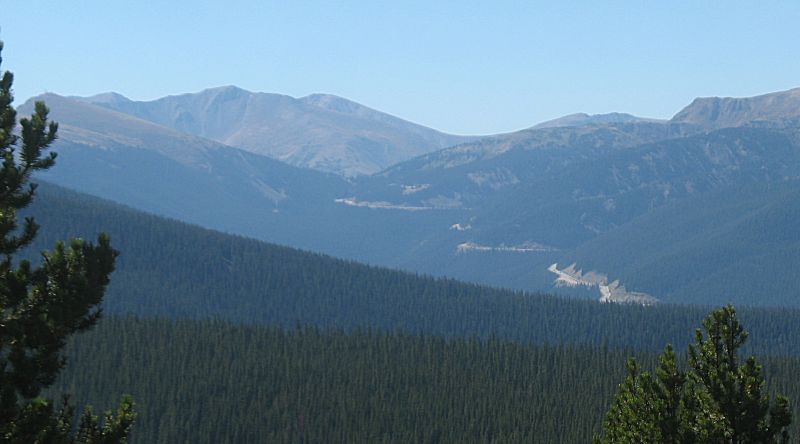
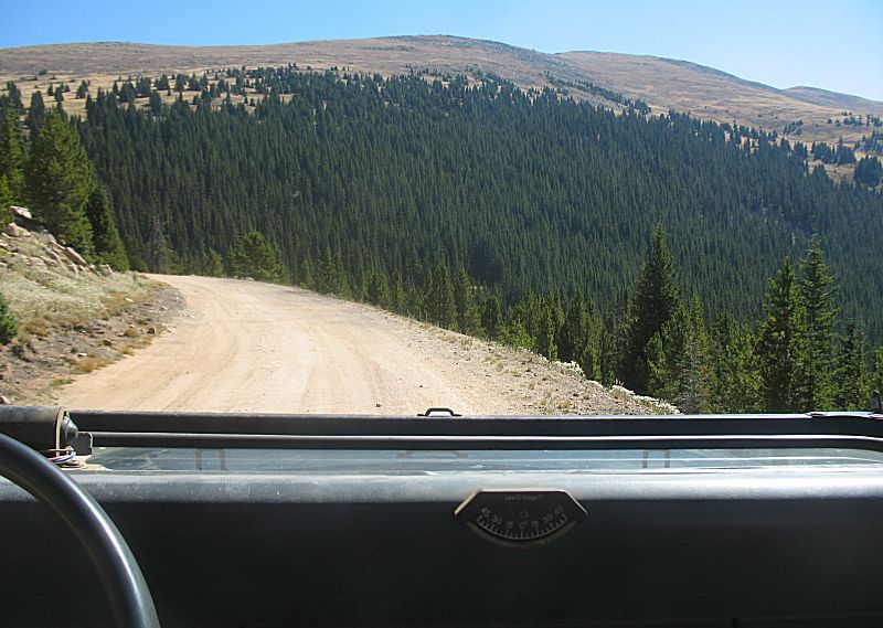
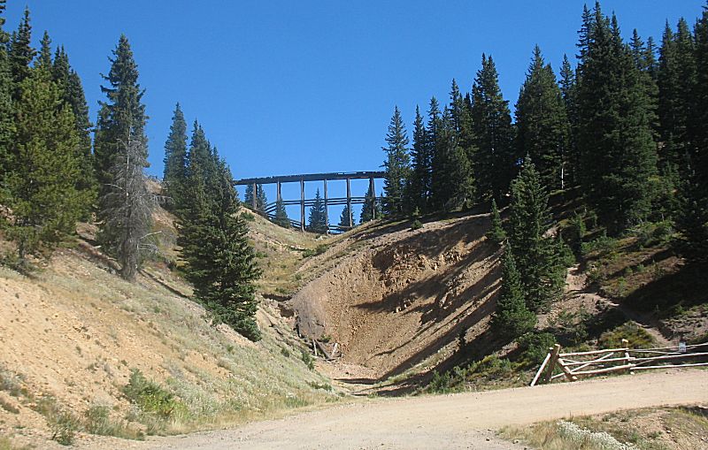
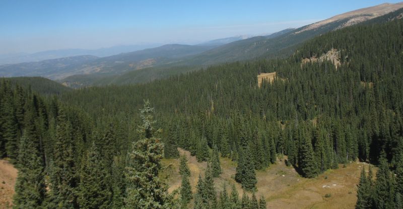
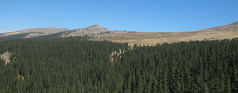
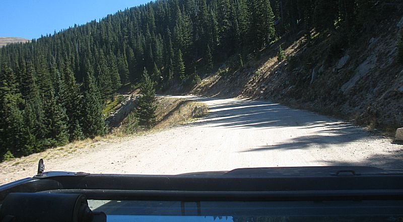
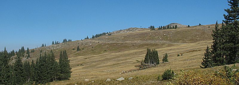
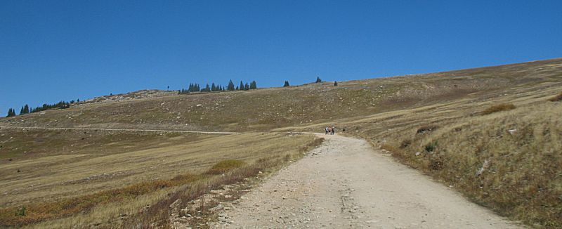
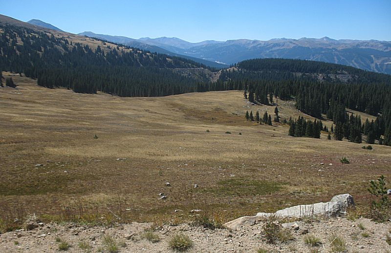
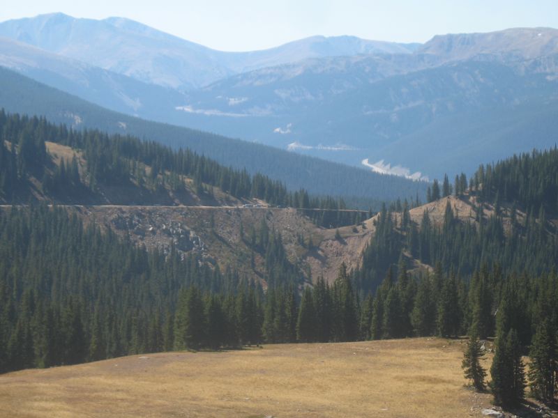
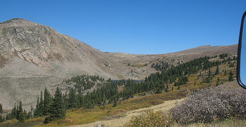
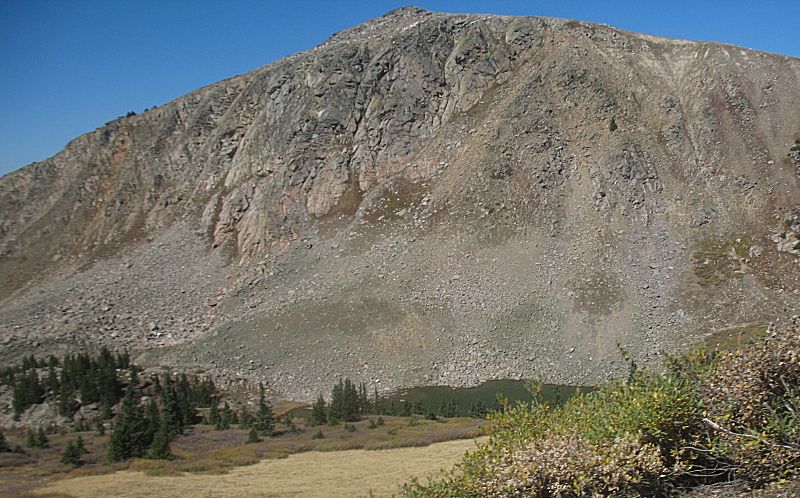
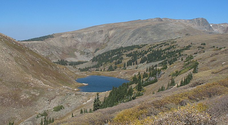
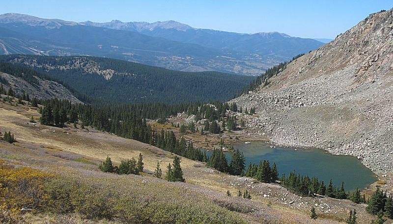
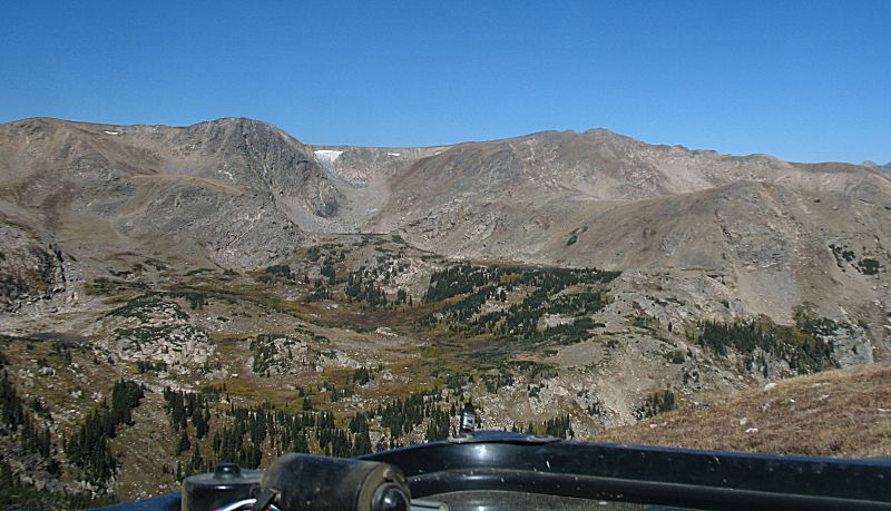
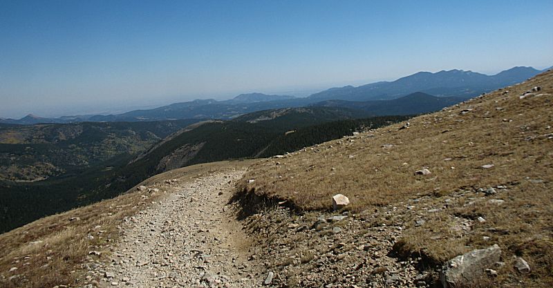
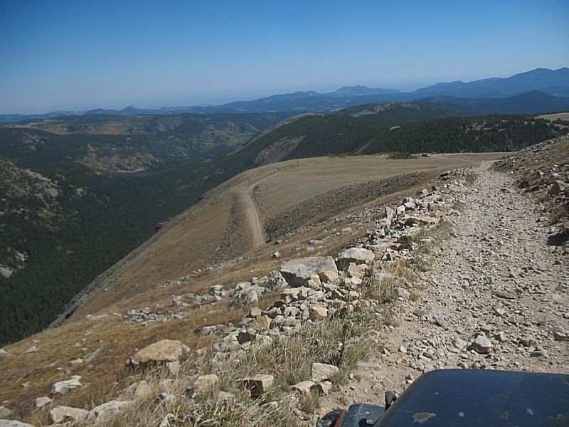
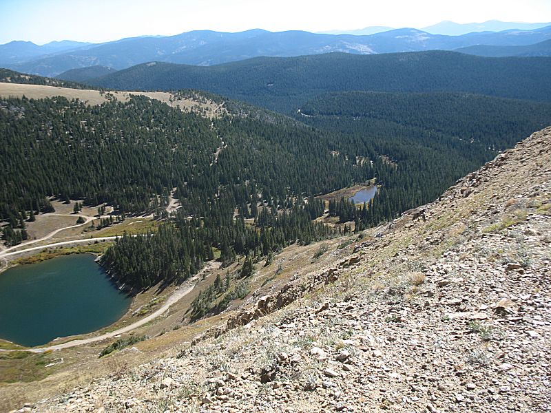
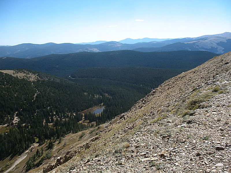
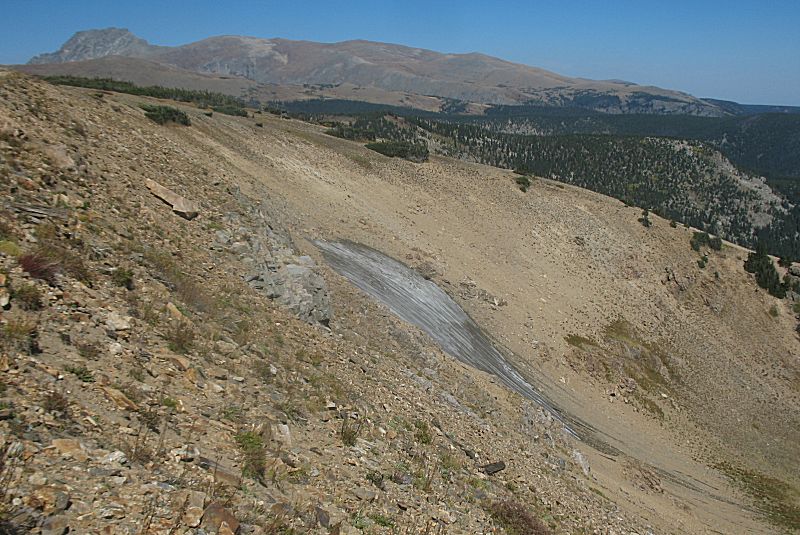
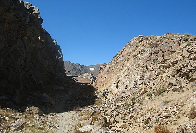
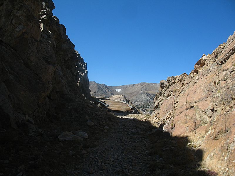
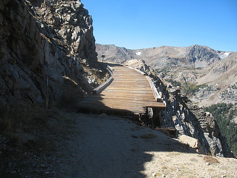
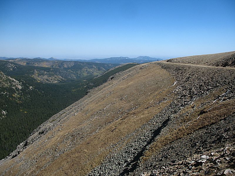
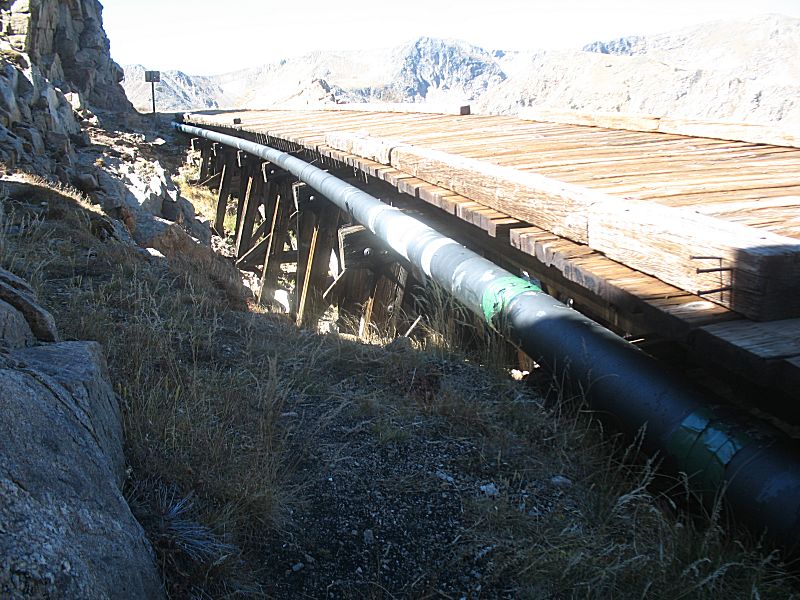
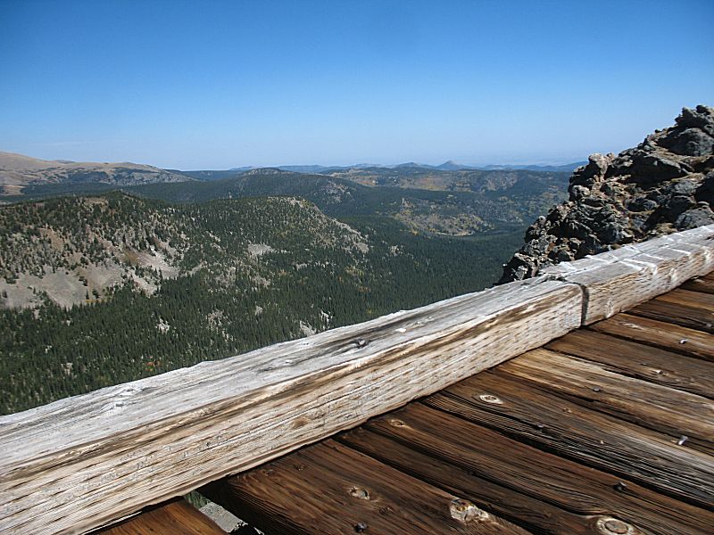
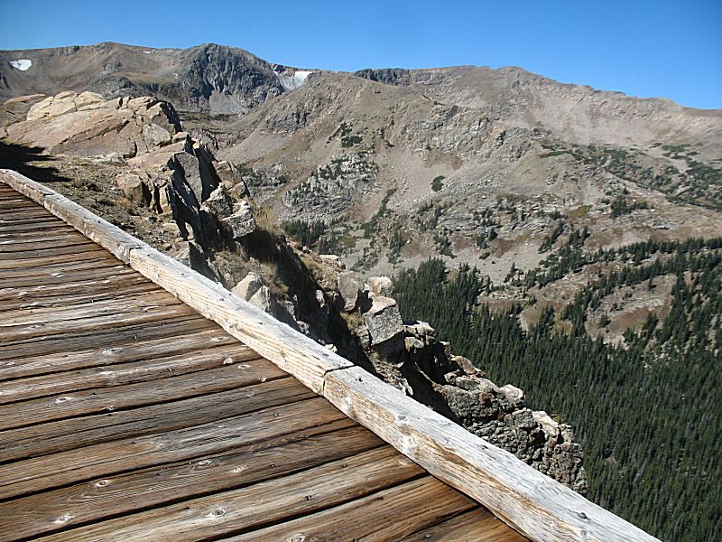
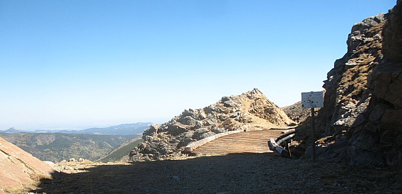
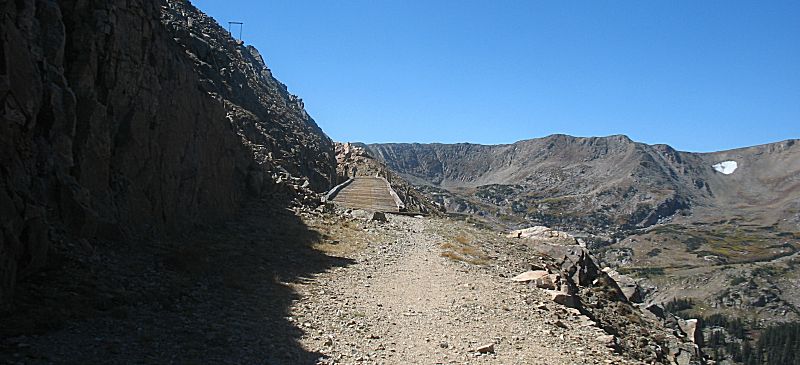
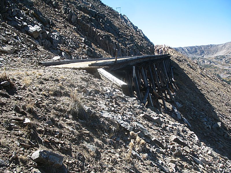
We'll trek up the trail to the eastern end and then take some time on
the way back to stop at sights. At the eastern end we'll park and walk
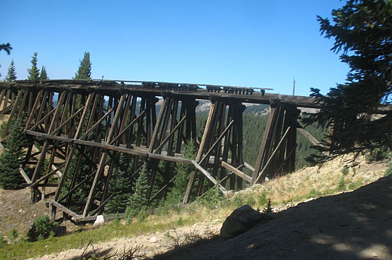
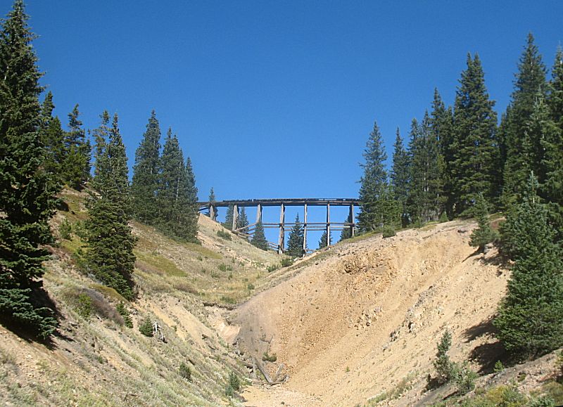
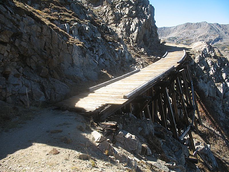
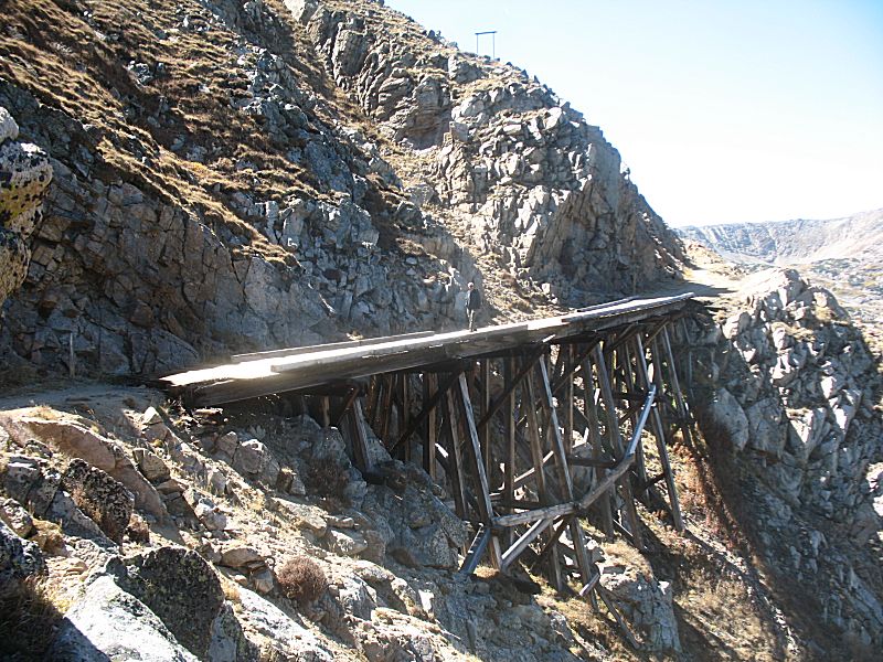
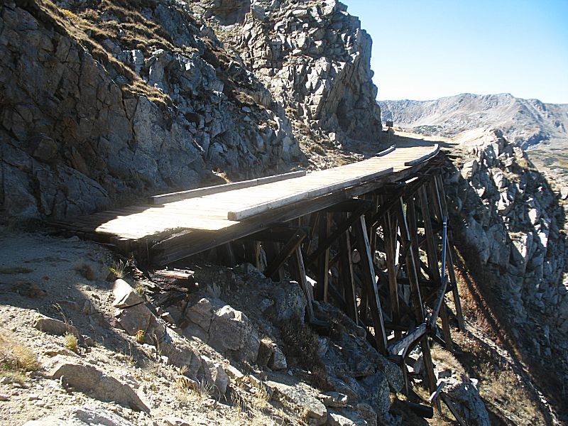
east to the Needle Eye tunnel and then walk west a tad over some of the
trestles (that are also closed for automobile traffic but open to
pedestrian traffic). We'll also make a stop at the Riflesight Notch
trestle that is closed to pedestrian traffic. That trestle is also over
a now-closed tunnel where the rail line spiraled above itself to work
up the mountainside.
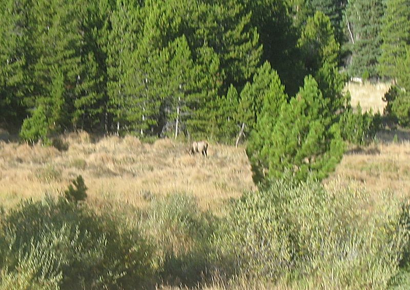
Heading out from the trail it was a "mostly" backtrack back to Fort
Collins. The park was PACKED with visitors on this beautiful weather
"free day". A time or two traffic was near full stop with a line of 30+
vehicles inching past elk visible from the road.
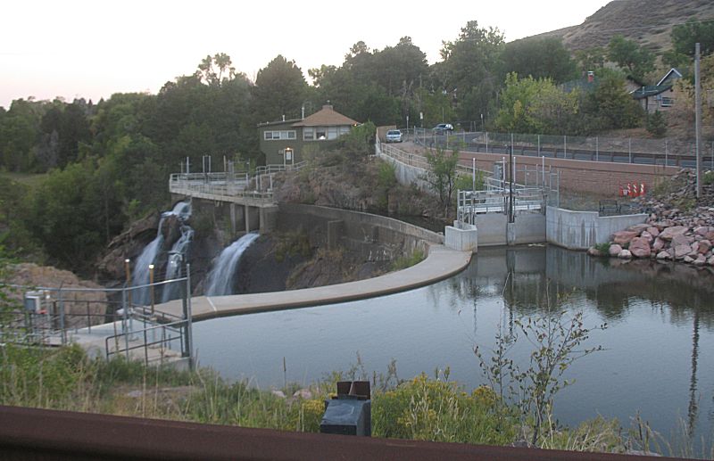
Out of the Big Thompson canyon, near The Dam Store (of which there no
longer is a dam) I traveled CR 22H and found it has been reopened since
flood damage. It's a curious one-lane, two-way, blind-corners, no guard
rail, shelf-road with 40' drop-off short cut for a slow paced scenic
route between Masonville and The Dam Store.
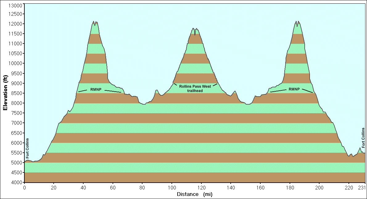
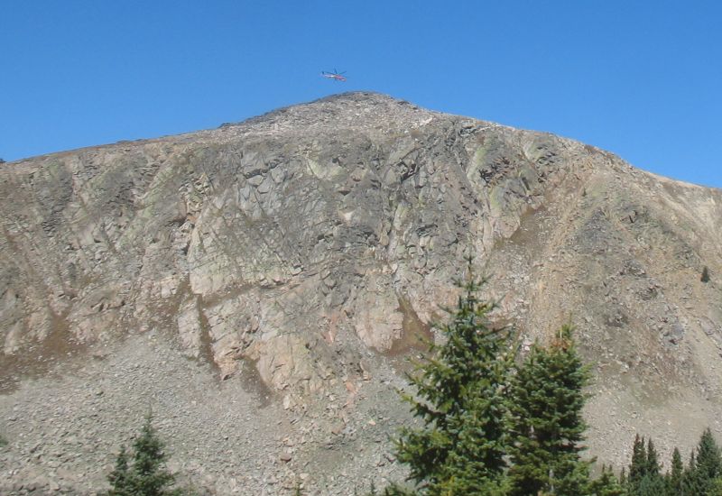
Of curiosity is that weather predicted a high of 90F in town (5000 ft
elevation). When I left home temps were in the mid 40's. With no top or
doors on the jeep (I'm holding out!) I wore a winter coat, hat, gloves.
I was curious how cold temps would be crossing over the park - getting
into the rather uncomfortable range of cold. Down the western side,
still in some shadows (but about 9:30am with warming temps), I asked
the jeeps heater, on high, to try to warm my feet. At the trailhead the
coat came off - until I again jumped up in elevation and it went back
on - in the middle of the cloudless day. Back down from the mountain it
came off for the drive north to the park where it again went back on as
I trekked up in elevation with a cooling evening approaching. Life with
elevation change...
It was a long day - but a good one.
Stats
|
7:03a
|
Leave FoCo (one 5 min stop)
|
|
7:57a
|
Arrive Rocky Mountain N.P. Beaver Meadows (one 8 min stop)
|
|
8:05a
|
Leave RMNP for trailhead (one 10 min stop)
|
|
10:12a
|
Arrive Rollins Pass West trailhead (Corona Road @ US-40)
|
|
11:14a
|
Leave trailhead to start the trail (one 11 min stop for pictures)
|
|
|
Travel straight to the end of the trail, no other stops, we'll make
stops on the way out
|
|
12:44p
|
Arrive end of trail. Walk to Needle Eye Tunnel (80 min trail travel
time)
|
|
1:16p
|
Leave Needle's Eye Tunnel to walk back to trestles
|
|
2:03p
|
Leave the end of the trail for the kiosk we passed on the way to the
end (includes perhaps 30 min chatting at trail's end)
|
|
2:17p
|
Arrive at Rollins Pass kiosk (western intersection of trail 501 and
railroad bed)
|
|
2:34p
|
Leave kiosk for Riflesight Notch trestle
|
|
2:49p
|
Arrive Riflesight Notch trestle
|
|
2:59p
|
Leave trestle to head out (one 12 min stop to pull downed tree to
block cut-thru trail)
|
|
4:00p
|
End of Rollins Pass WEST trail
|
|
4:00p
|
Start the drive to Fort Collins (one 10 min stop for fuel, heavy RMNP
traffic / full stops)
|
|
4:46p
|
Enter RMNP
|
|
6:12p
|
Leave RMNP (1h 18m morning trip; 1h 26m evening trip)
|
|
7:19p
|
Arrive FoCo (heavy / slow traffic through park and down US-34)
|
For the day: Elapsed Time 12h 16m & 231 Miles
For just the trail: Elapsed Time 4h 46m & 31.1 Miles
Fuel. Start full. Fill at Granby on the west side of the mountains,
ride the trail, fill at Granby before heading back over. Fill at Fort
Collins.
$56.37, 15.537 Gallons, 14.8MPG
The jeep complains / pings with low grade fuel pushing up mountain roads so it was a premium day.
|
