Upper Michigan Ditch - Lake Agnes - Long Draw Reservoir
| Last time I was up at the Upper Michigan Ditch it rained and I turned back. Today will be the second try. It turned out to be a nice day to which I visited two other 'new to me' spots (Long Draw Reservoir & Glendevey) in addition to making it to the end of the ditch trail and Lake Agnes. |
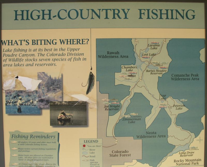
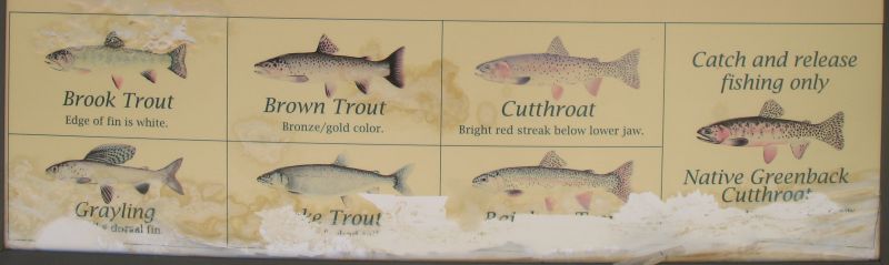
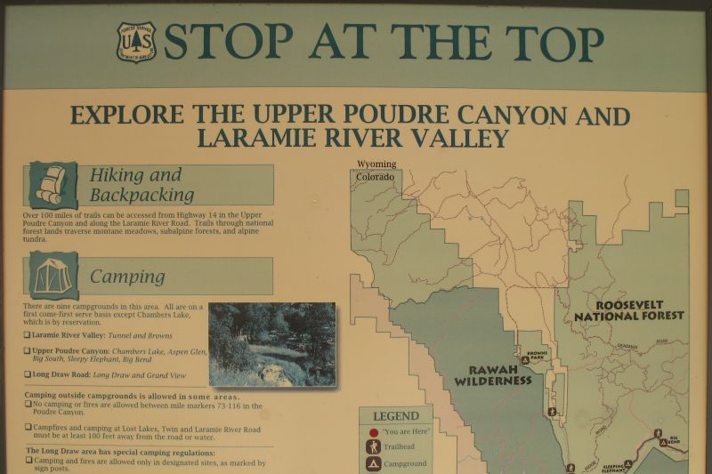
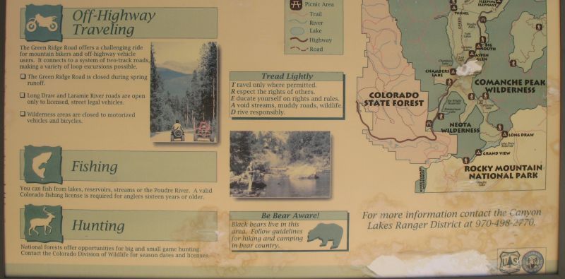
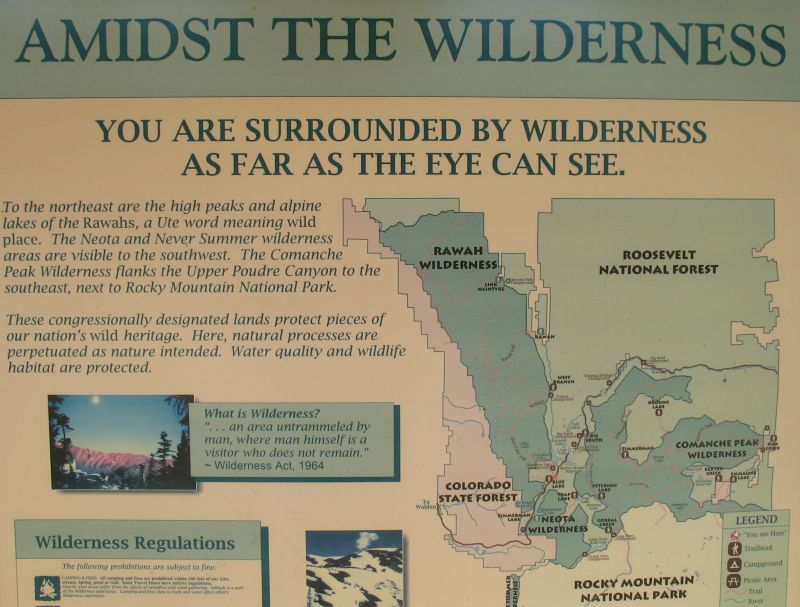
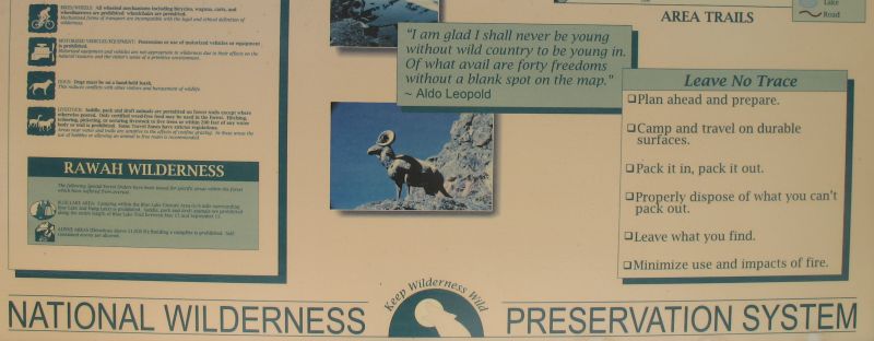
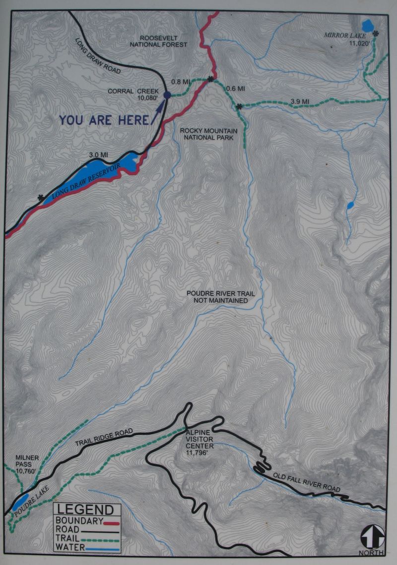
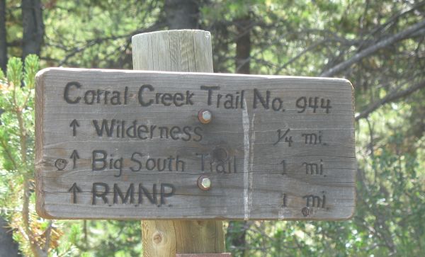
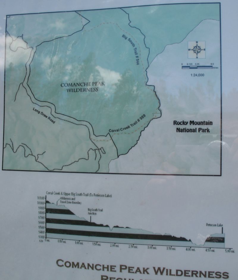
| Info signs |
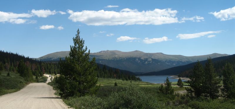
| Taking the Long Draw Reservoir road |
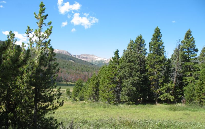
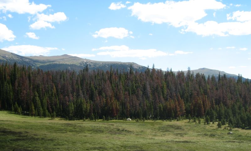
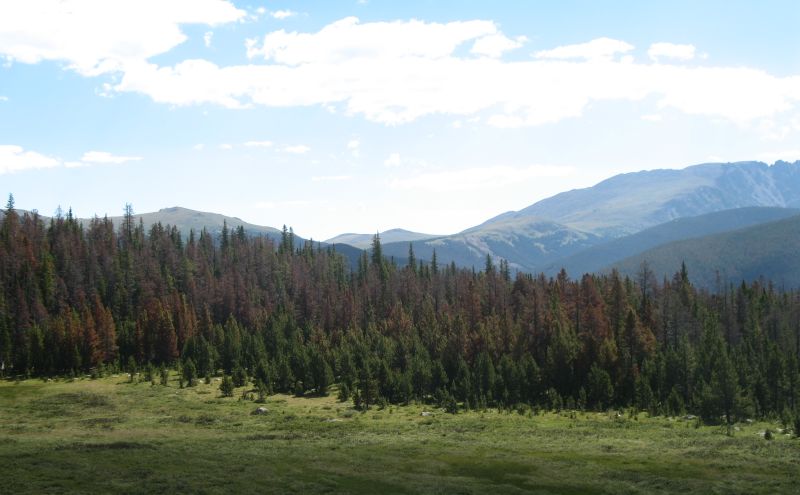
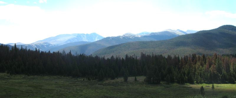
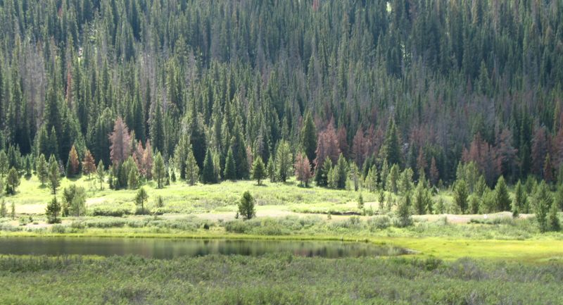
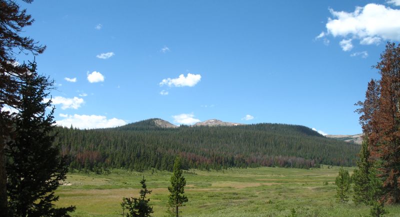
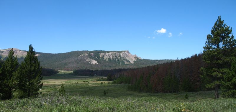
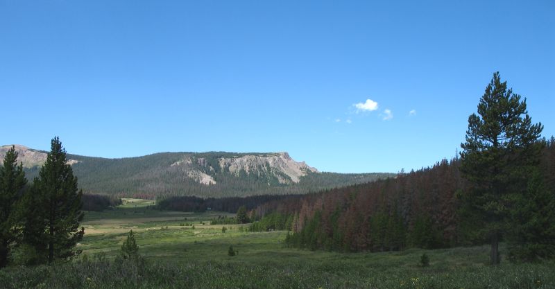
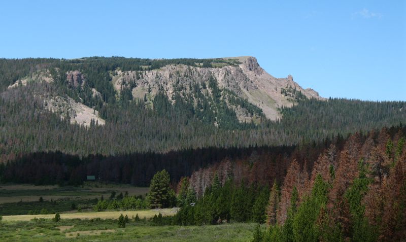
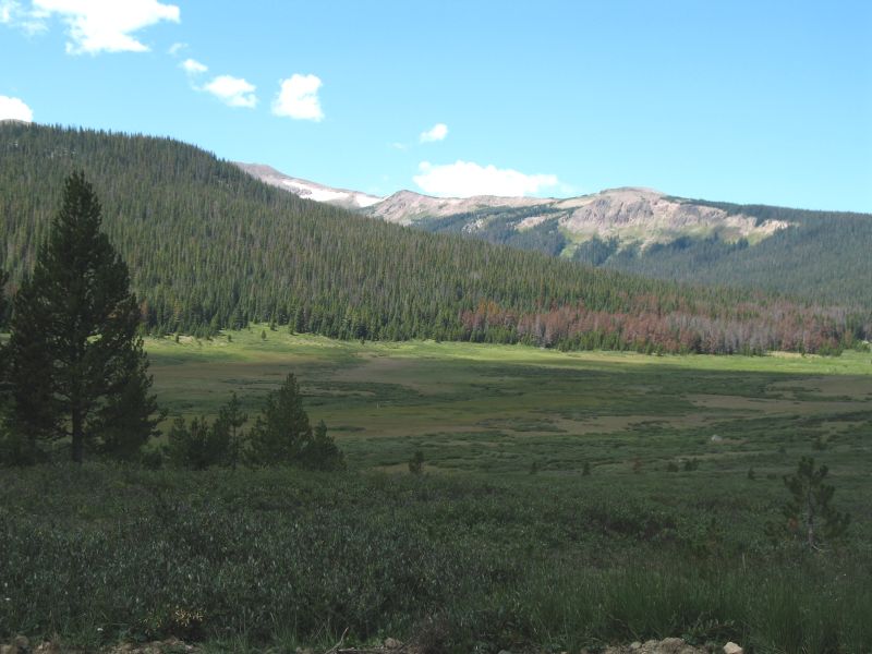
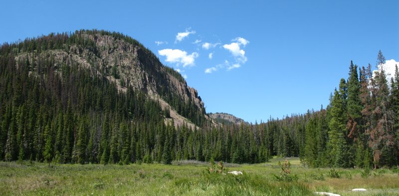
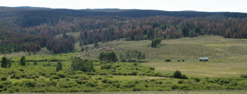
| Ample spots to stretch the eyes. The area has been hit by bark beetles - many rust colored trees. |
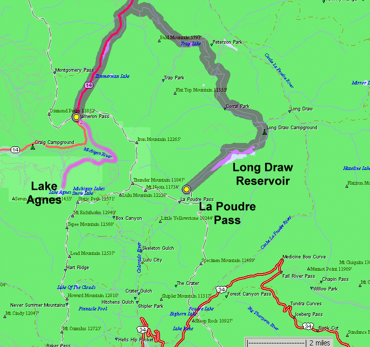
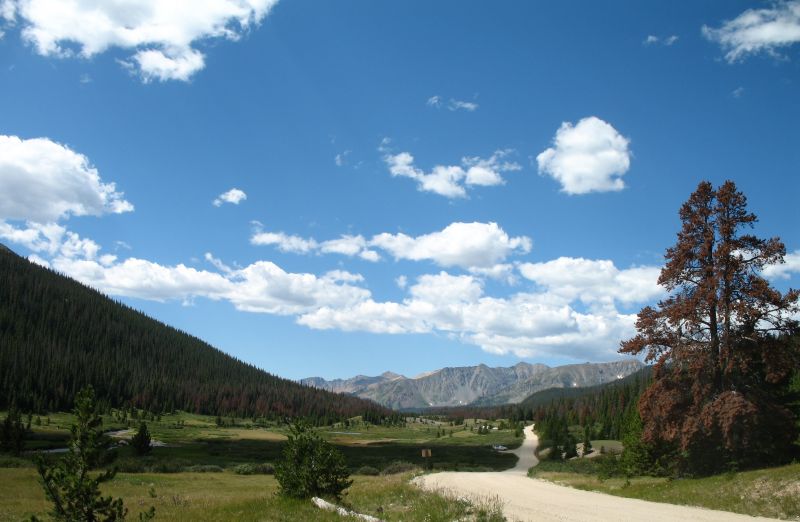
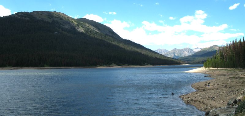
| Long Draw road, near the end. The last campground is just behind me and the road ends about where it disappears into the trees - La Poudre Pass. The mountains to the left mark the northern edge of Rocky Mountain National Park. |
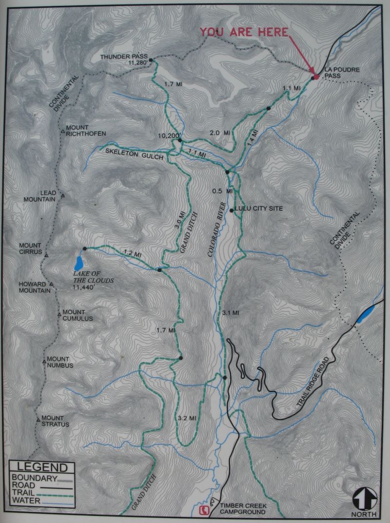
| Study the info map - LuLu City is an old gold mine city site. It lived for but a year or three. The Grand Ditch, a scar cut across the landscape which is visible from a couple vista points on the western side of RMNP's Trail Ridge Road. That ditch delivers water from the western slope to the eastern slope, discharging its water at La Poudre Pass. |
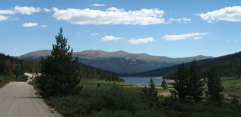
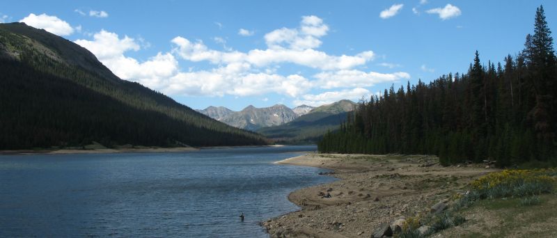
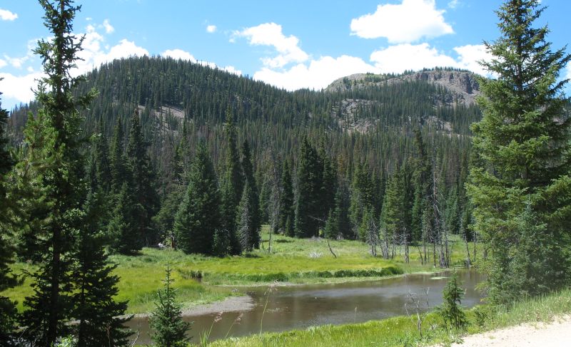
| Coming back from La Poudre Pass, looking down at Long Draw Reservoir. |
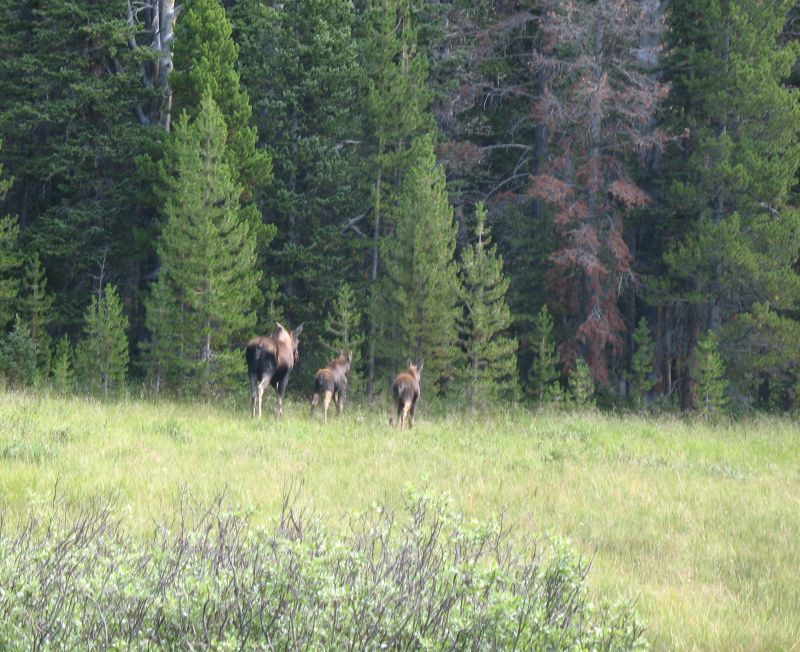
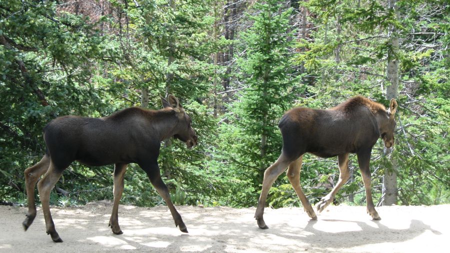
| Three Moose - mom and two kids. Would we see these later in the day? |
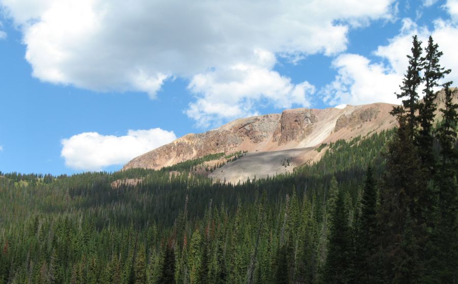
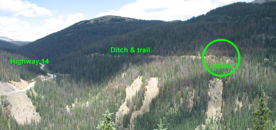
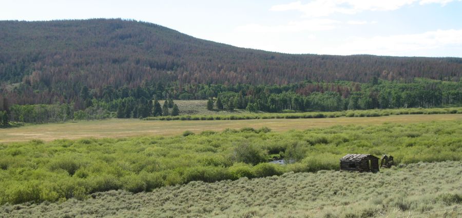
| Mountain cabin |
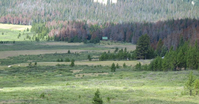
| Similar view as above. The mountain cabin is in the valley to the right, tucked in with the trees. |

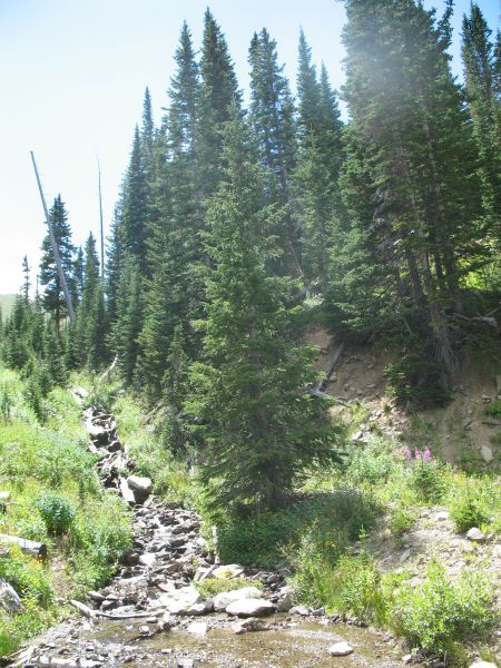
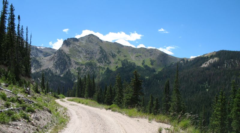
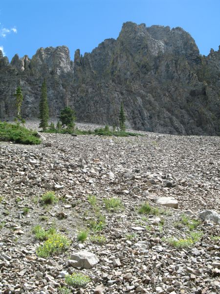
| We're on the Upper Michigan Ditch |
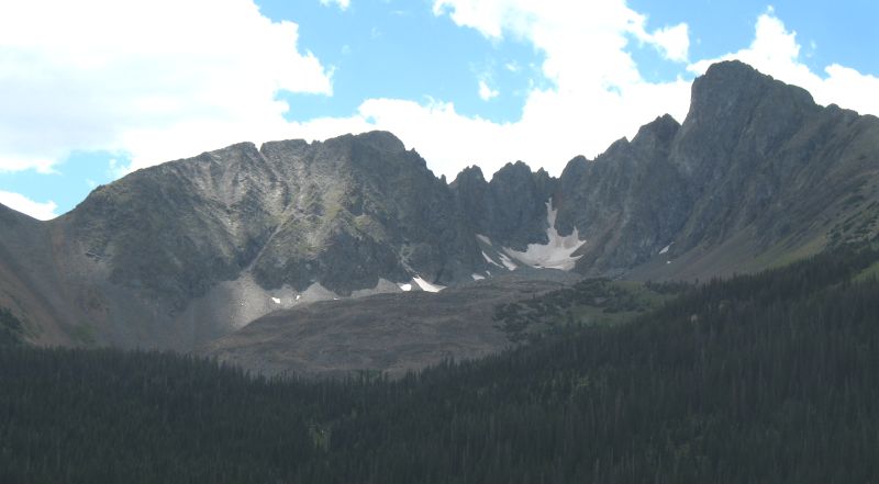

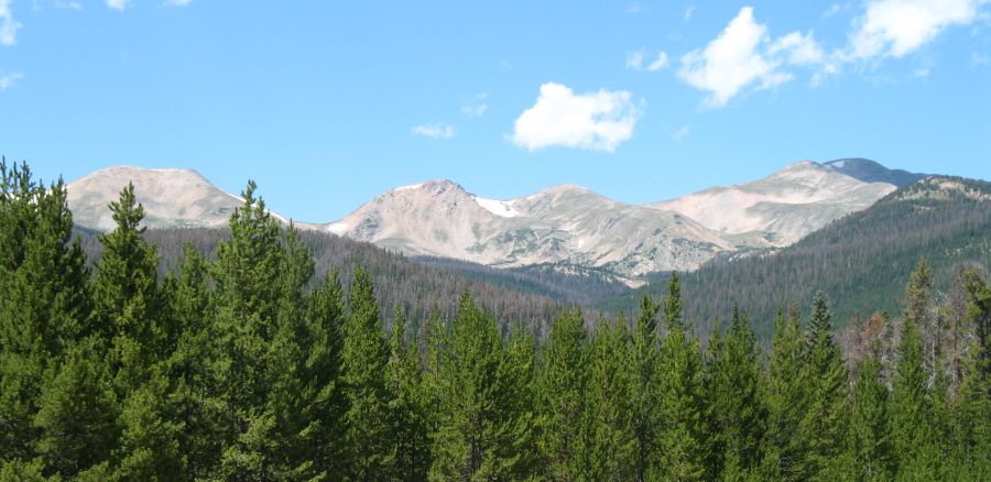
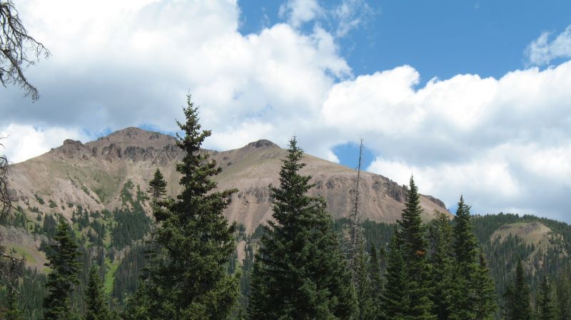
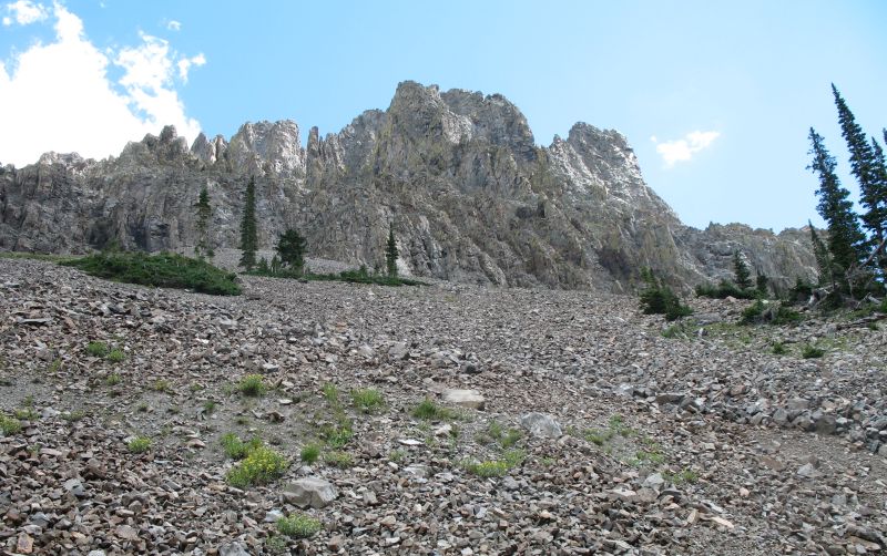
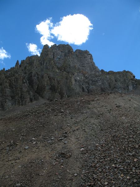
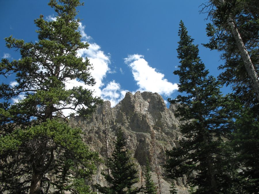
| Iron Mountain 12,265' |
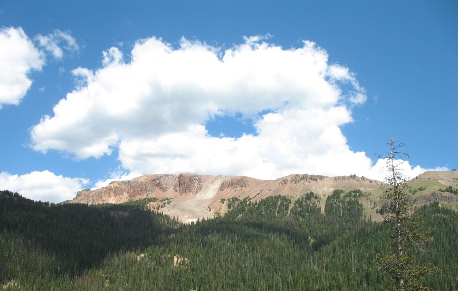
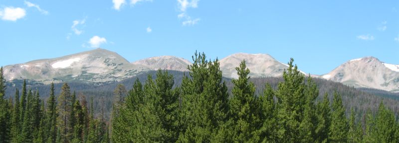
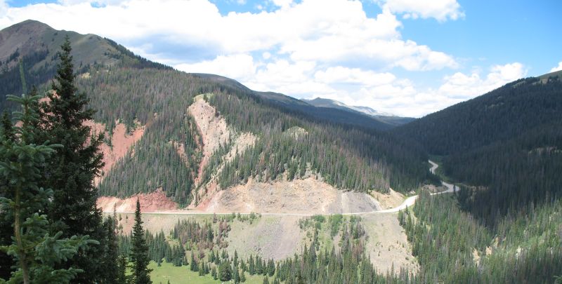
| Looking across the valley to Highway 14. This is one view I wished to have. Rolling on Hwy 14 I could see some road or trail "over there". Today I'm "over there" looking back. |
| Hmmm - dead trees = kindling / firewood. Having a cabin built on a hillside, surrounded by dead trees... |


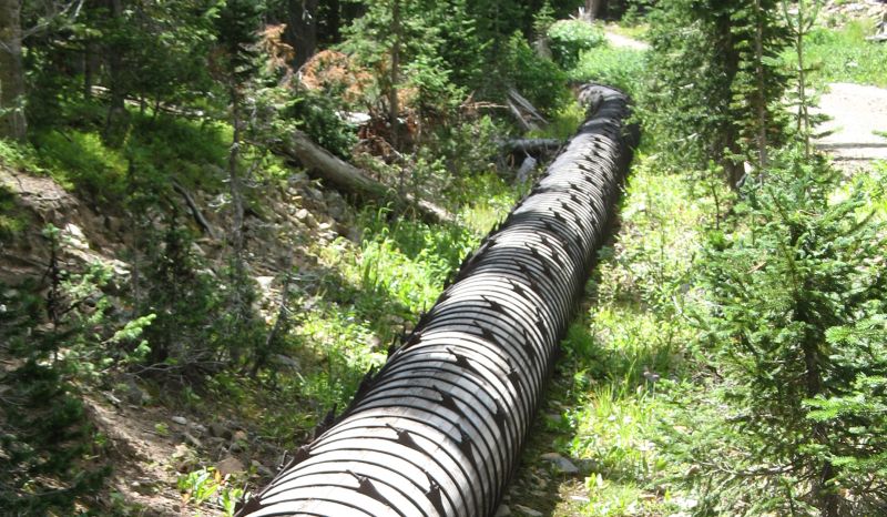
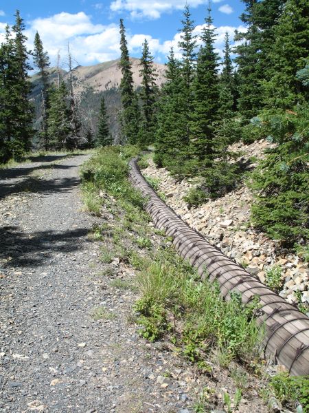
| The 1930 wooden pipe It looks to be in near original condition with no deterioration found! |
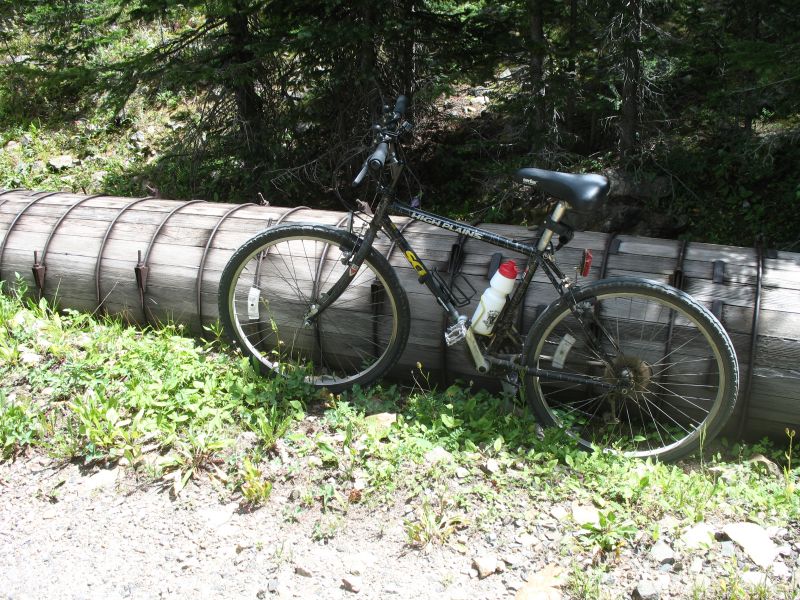
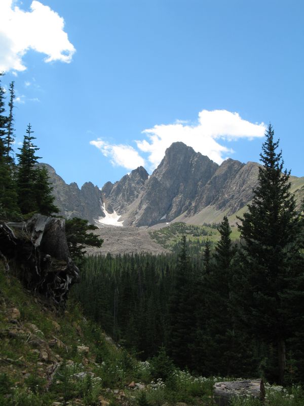
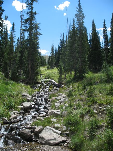
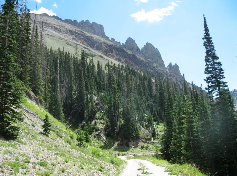
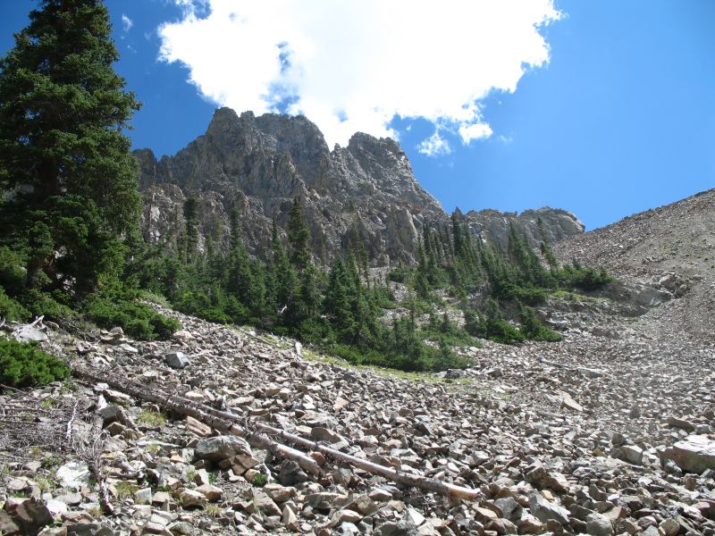
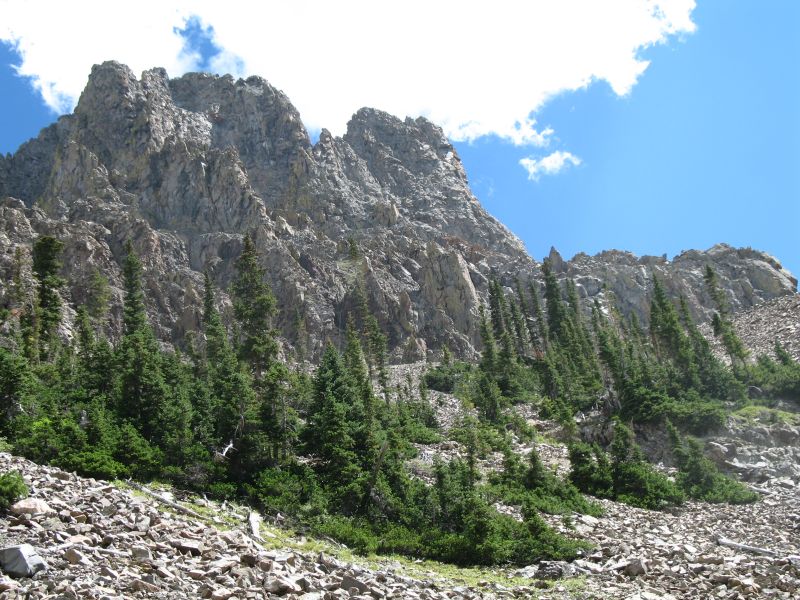
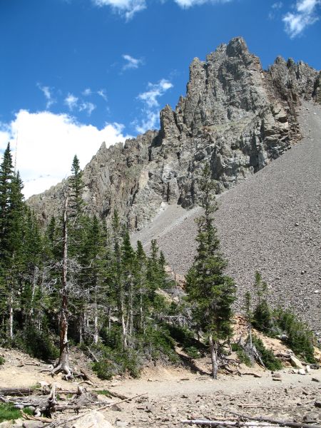
| Near the end of the UM ditch. |
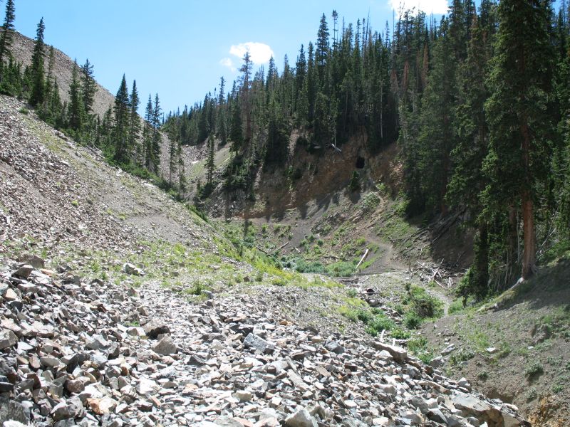
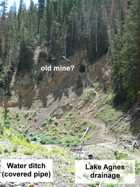
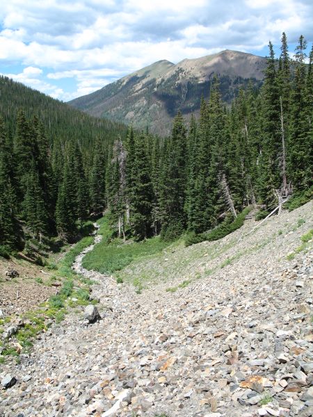
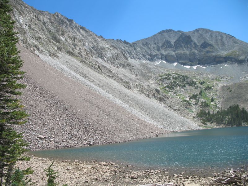
| I left the bike at the end of the trail and started to walk up the drainage to Lake Agnes. |
| I didn't expect to be near snow, but there was a large patch (3' x 20') in the drainage area as I walked to the lake. |
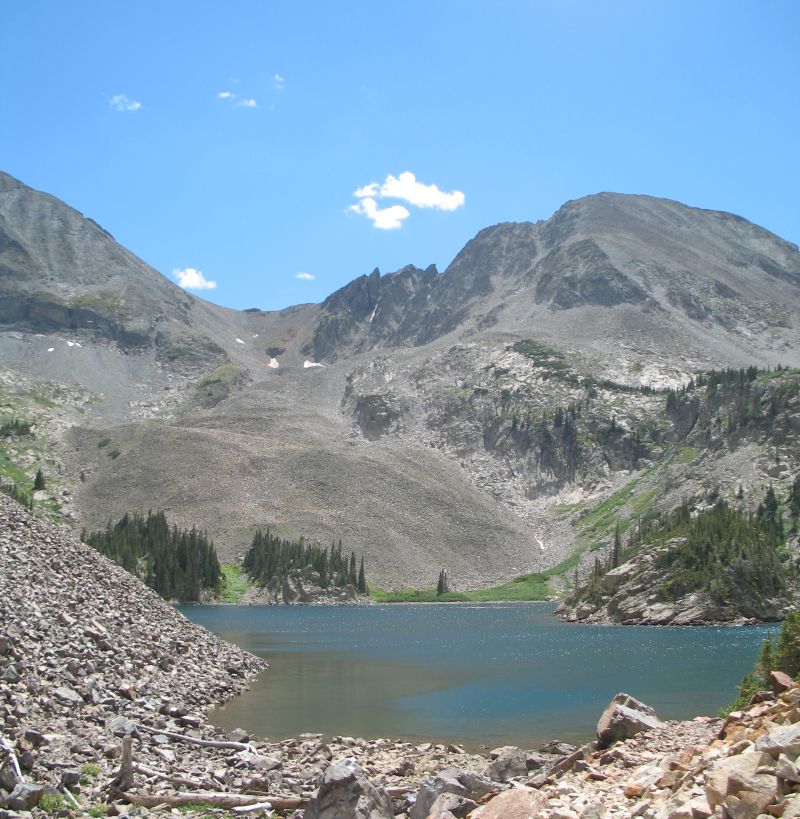
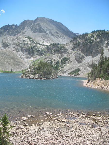
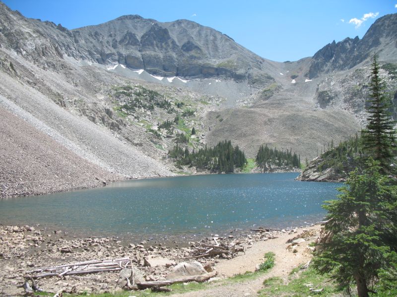
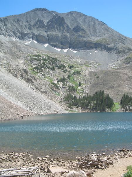
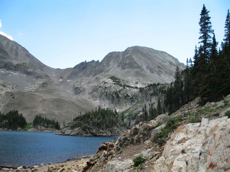
| Lake Agnes If I walk up to the ridge (some day?) I could perhaps see the Alpine Visitor Center for RMNP. |
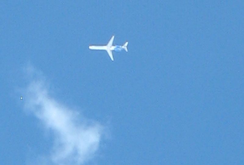
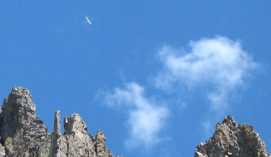
| There were a few of these overhead |
| Walking back I took a formal trail instead of walking the drainage area - a bit easier. The bike (right edge of photo) still waiting. |
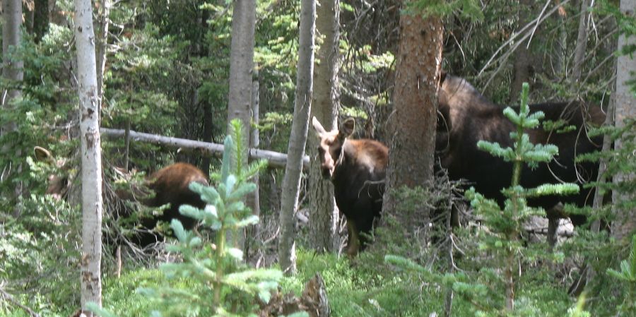
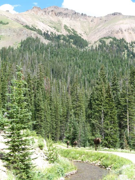
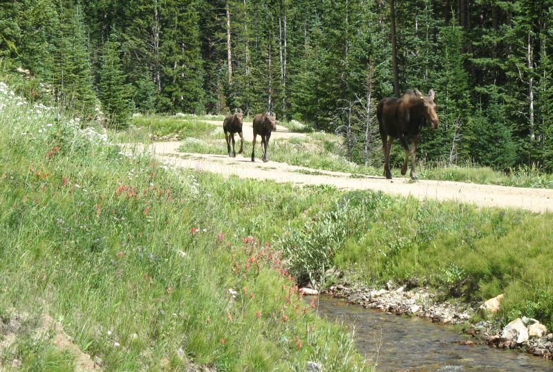
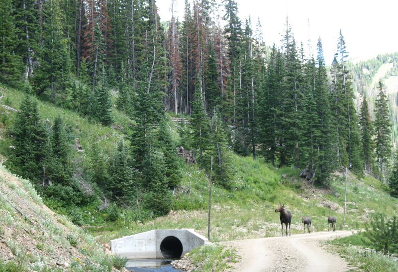
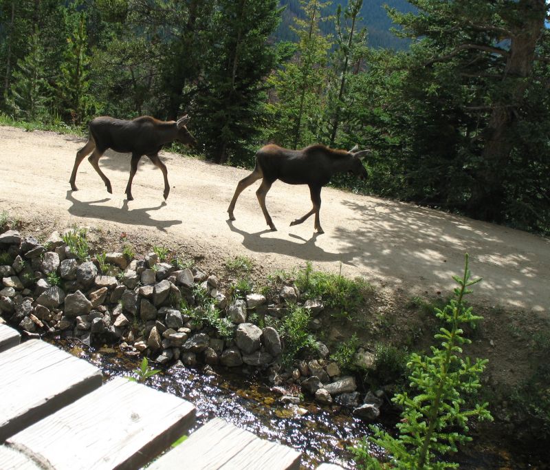
| Riding along the trail I turned a corner and heard a splash! Three moose were in the ditch, heard me coming, and ran into the trees. Here they are, looking back at me, as I pass by. |
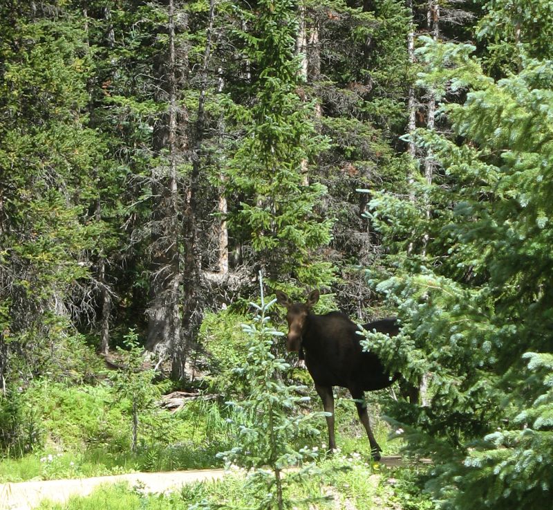
| I went down trail a bit and waited a couple minutes.
Eventually they did come back up to the trail vs. heading down in the
woods. Mom, checking to see if it's safe. |
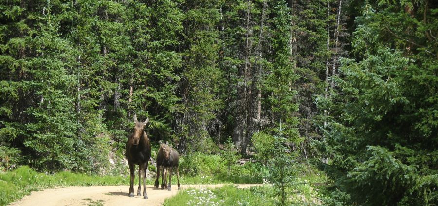
| Alright kids - let's go! |
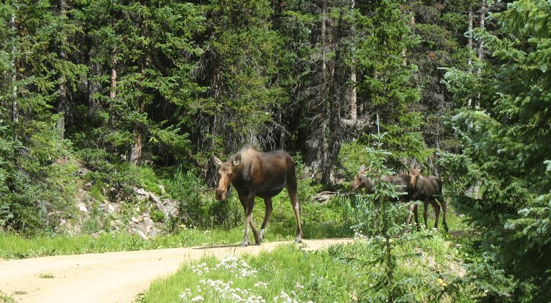
| They'd walk down the trail, towards me. I'd move down trail a bit, stop, take some photos. |


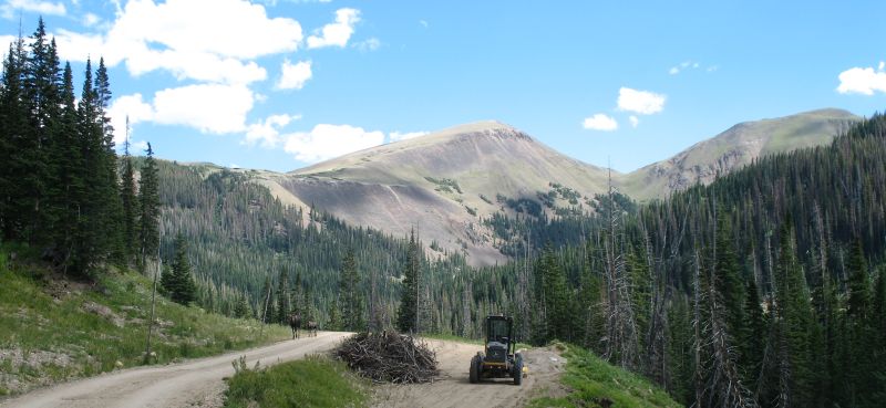
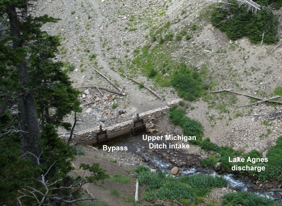
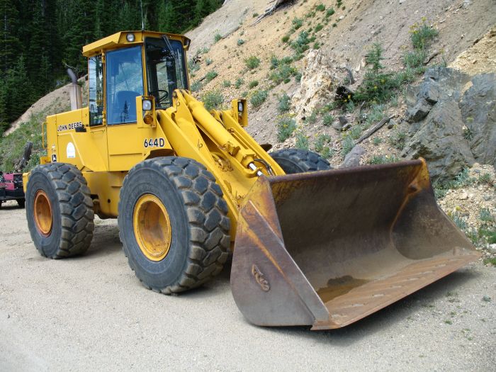
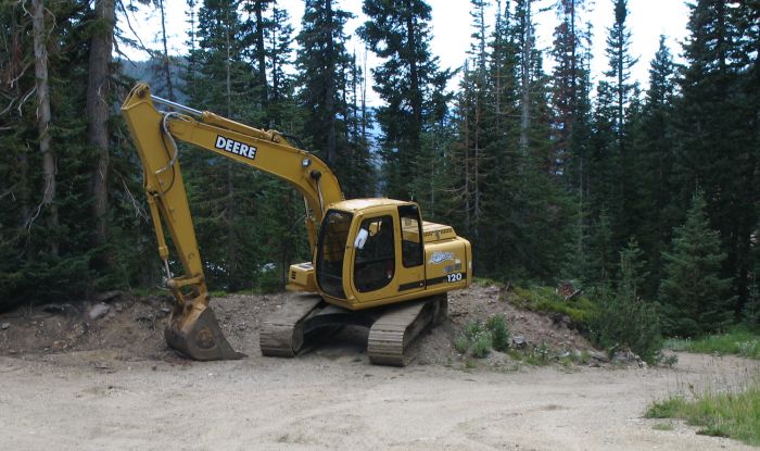
| It seems the equipment stays on the ditch. While slide action does happen, I don't think it would be overly common or an issue?? |
| Sitting on the porch at one of the cabins, quietly waiting the family to walk by. Mom |
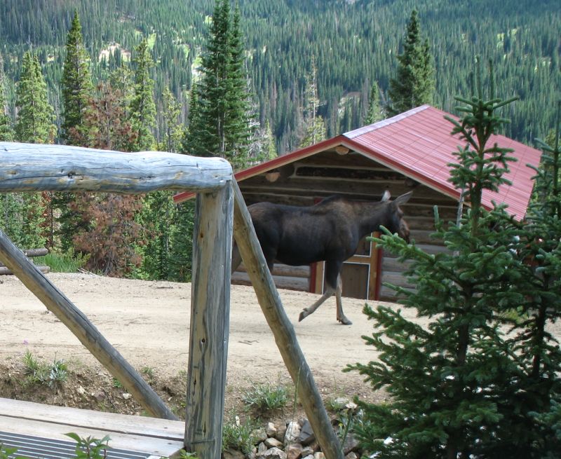
| the kids |
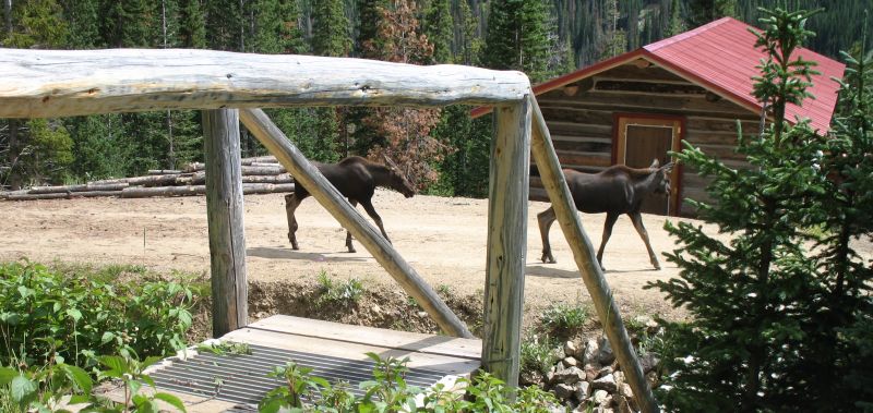
| They left the roadway and walked downhill |
| We left the Upper Michigan Ditch
and have traveled back east on Hwy 14 to turn north on Roads 103, 190 & 80c |
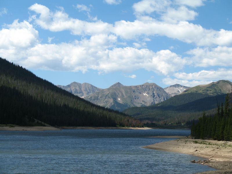
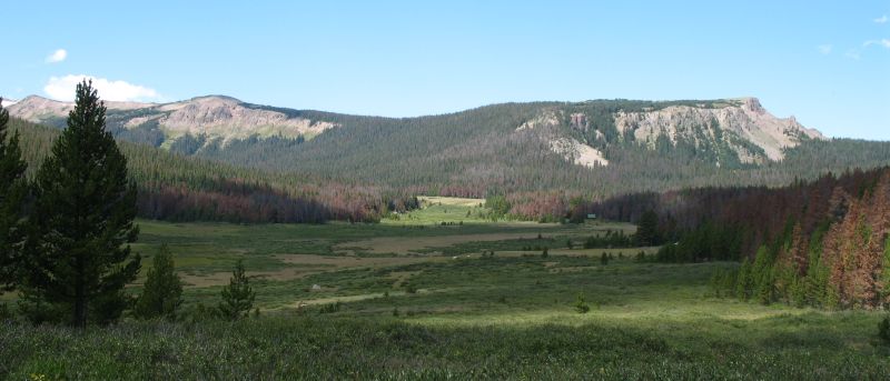
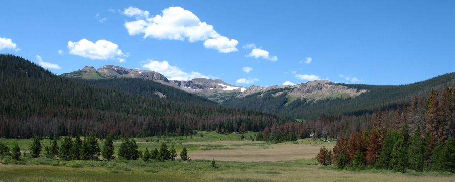
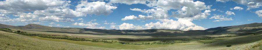
| Near the western end of 80c, looking east Panorama Click for a larger size |

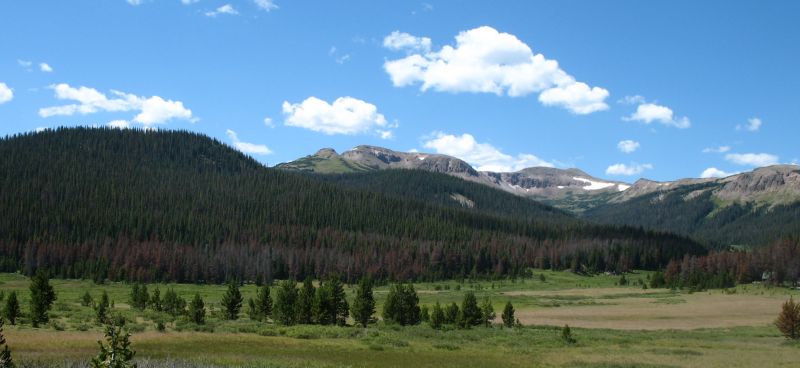
| Panorama Click for a larger size |
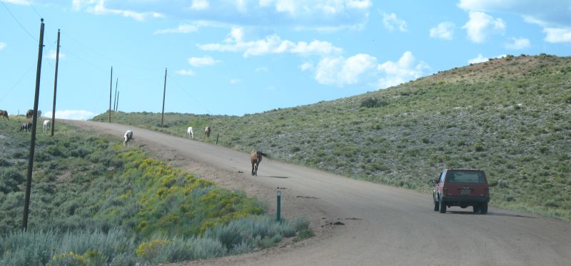
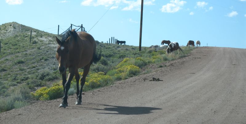
| Open range with horses or simply wild horses? |