A little-used county road between Cheyenne and Laramie.
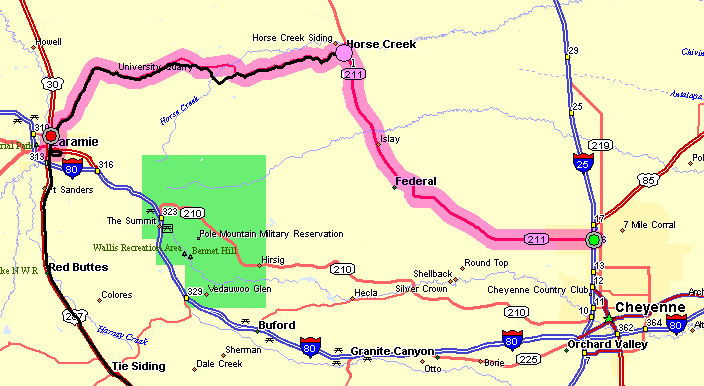
| A Sunday afternoon drive with a destination of the side roads between Cheyenne and Laramie, north of I-80. There are generally two routes available. WY-210 is the "Southern Route" while WY-211 / CR-17 is the "Northern Route". Today ended up being 211/17 though 210 with the park will be visited at some point. |
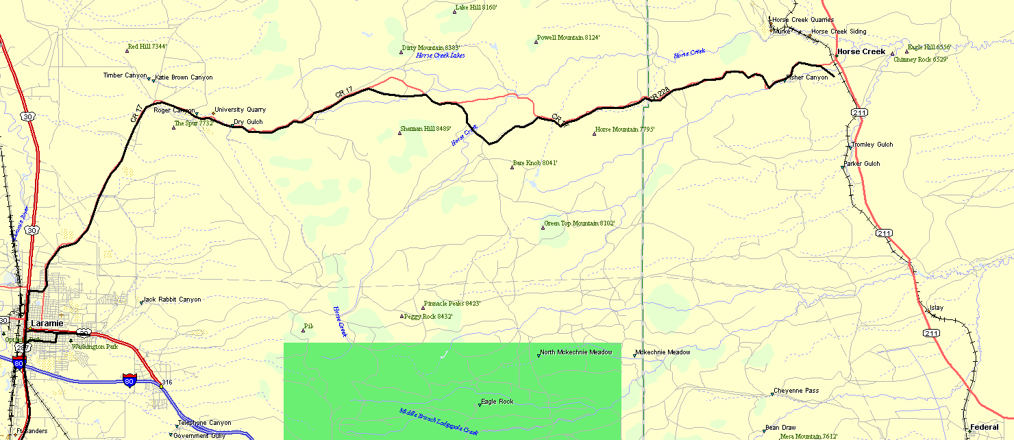
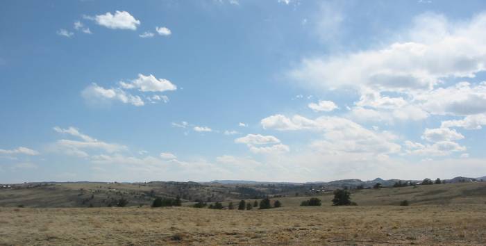
| Most
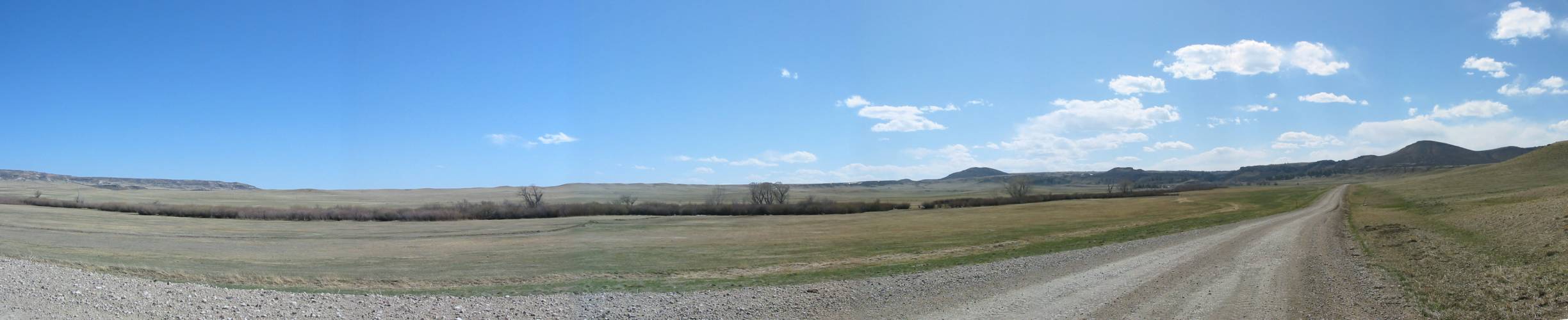
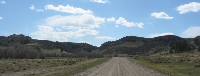
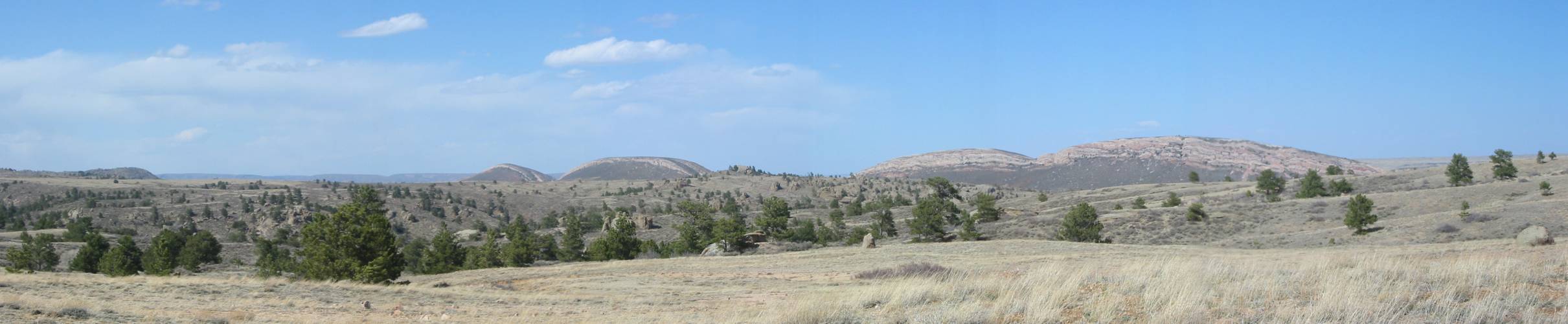
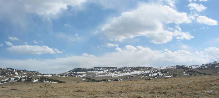
of today's photos are between Horse Creek WY and Laramie WY. This
is the first - looking west along CR-17 just west of Horse Creek. Open space, on occasion, is pleasing to the eye. Highway 211 that I came in on is in the photo near the left edge. Panorama Larger size |


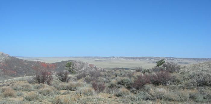
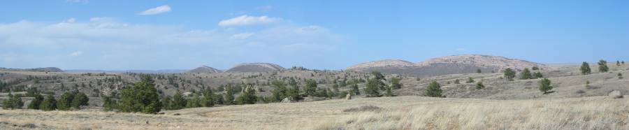
| Ahead will be a somewhat steep grade up to the top of the hills. |
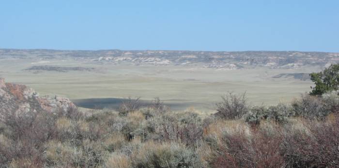
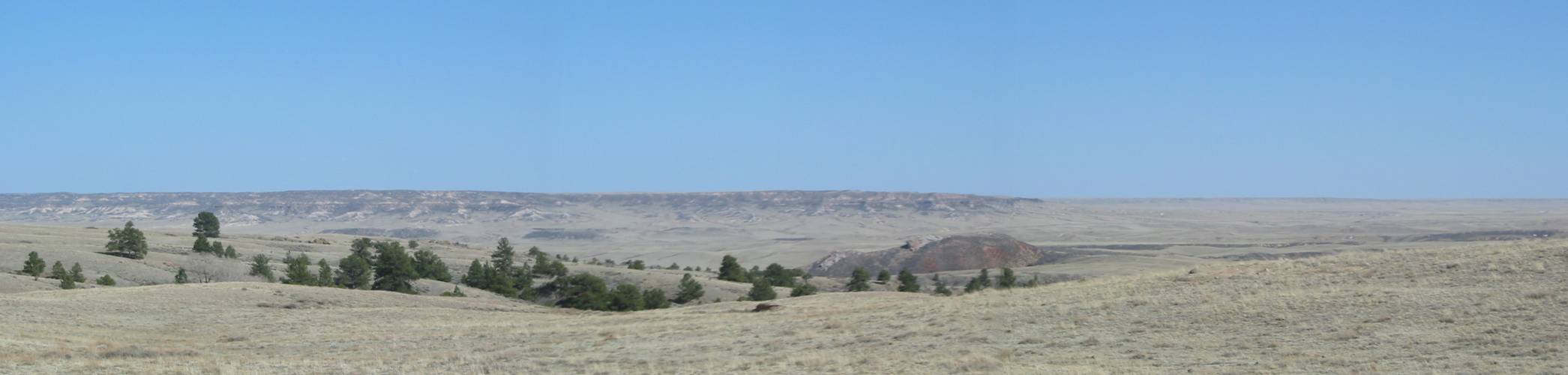
| At the top of the hills this shot looks back at the valley we came from. |
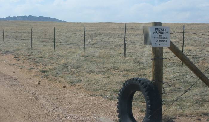
| The signs catch me as a bit 'off'. My take is that all of the land is private property and the owner of the property is allowing use of select property for the roadway. The road right-of-way is perhaps not municipal property. I am unsure of this though it is different than in Illinois. |
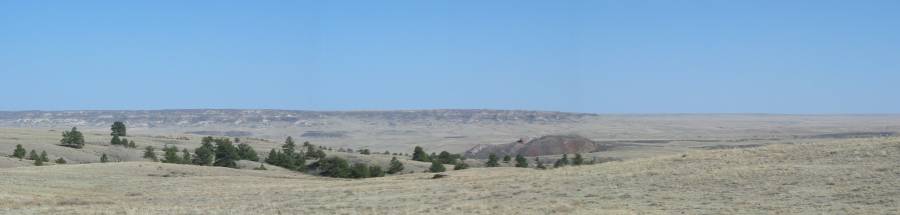
| Panorama Larger size |
| Panorama Larger size |

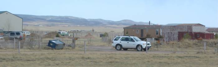
| Riding along in a seemingly desolate area I round a corner to find a "home on the range". Electricity is somewhat nearby though this residence is "off grid" (no power line connected to it). While it is a nice and quiet area, the house, unfortunately, doesn't have much for 'views' as it's bounded on most sides by hills. |
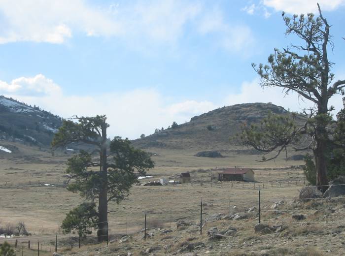
| That's a reasonable view. |
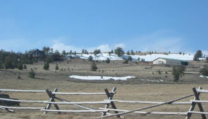
| Then there's this house. I could go for this. The house is on the south-southeast side of the ridge, below ridgeline to protect it from the winter winds. Decent views from the windows (see above pic). One 'shed' for stuff. |
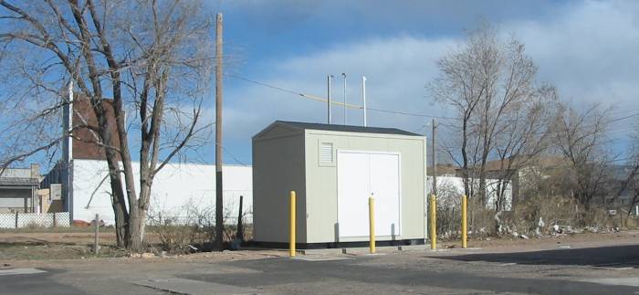
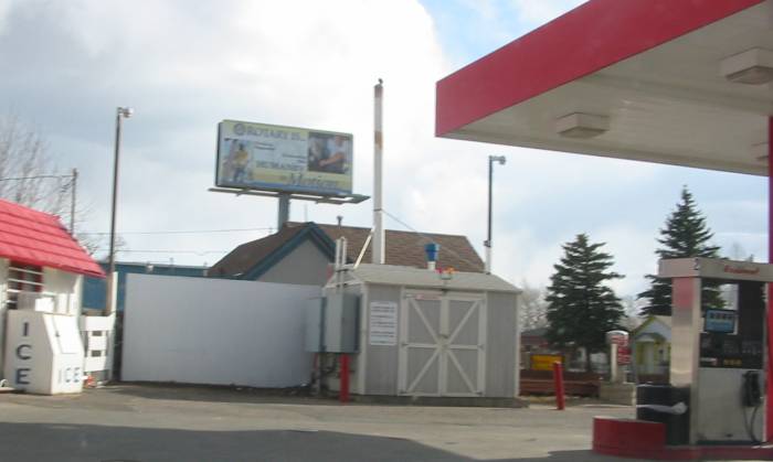
| Down in Laramie. One of the several oddity buildings. I think they are for radon evacuation though I'm unsure. There are several of these around town. |
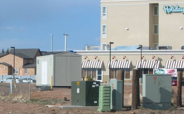
| One across the street from the above unit. |
| And this, the first I saw many months ago. |
| Winds today and yesterday were at the strong end - strong enough to blow over a dumpster. |
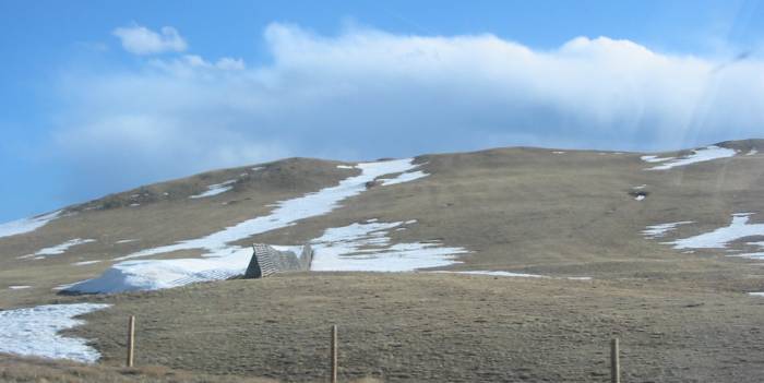
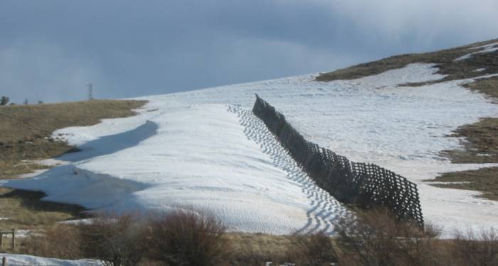
| Interesting shots of "show fences" and what they do - cause blowing snow to "settle out" shortly after the fence and not on the nearby roadway. These fences are around eight to ten feet tall. |
| It's late April - May is around the corner. That snowdrift is perhaps five feet deep (remember that fence is eight to ten feet tall). |
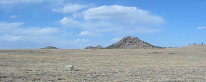
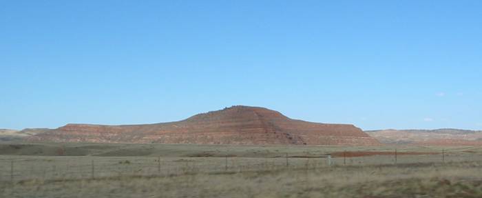
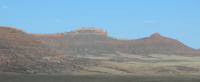
| Some Red Mountain photos - there are several "Red Mountains" in the area. |
| Back in town - a fun oddity. |